5.0 Excellent

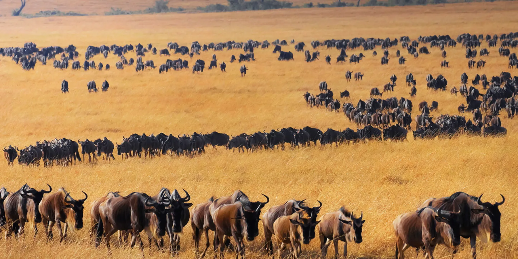
Tanzania's Safari Destinations
From the Serengeti's endless plains to Ngorongoro's crater floor — the places a TanzaLux itinerary is built around.
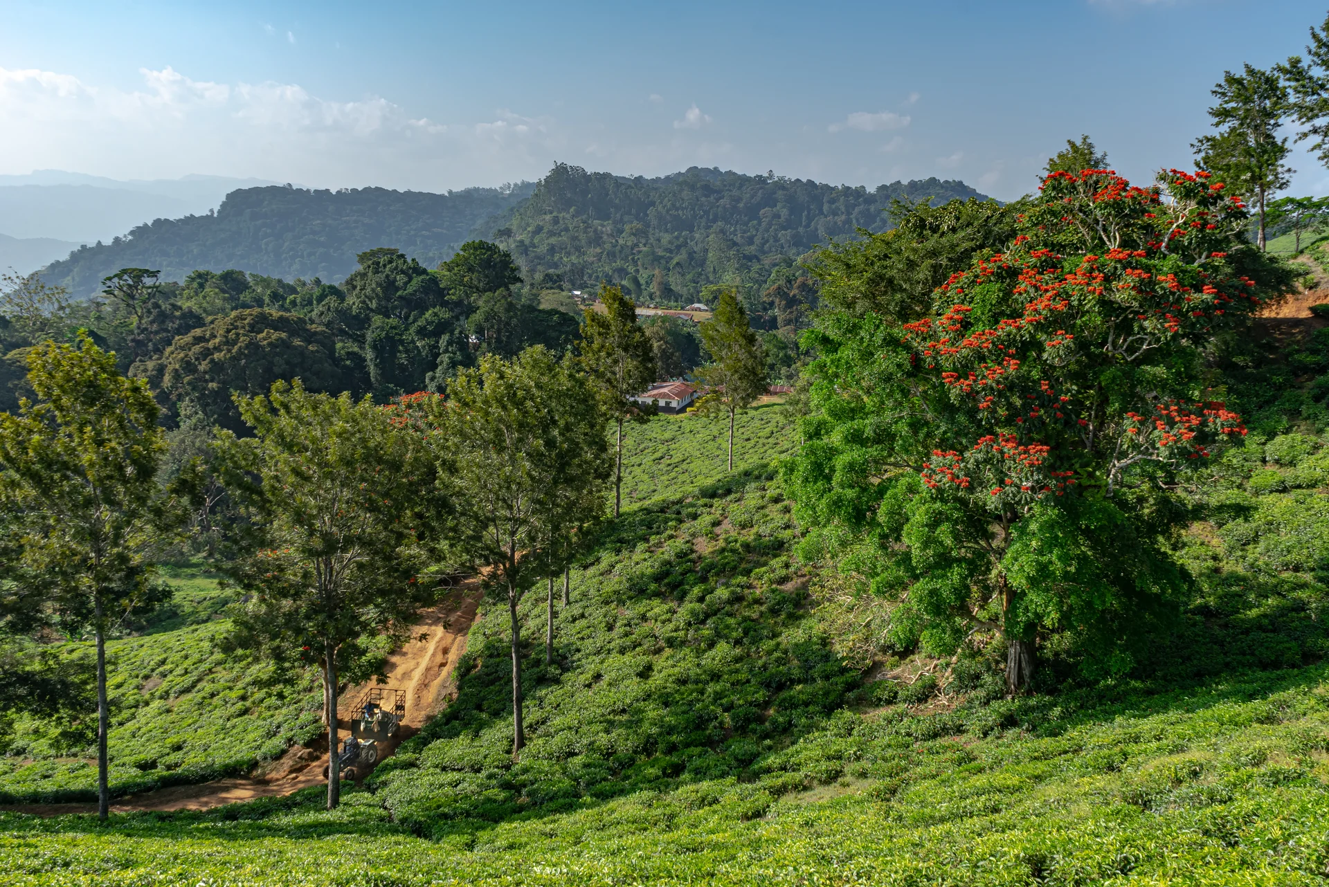
Amani Nature Forest Reserves
Explore the green slopes of Tanzania’s East Usambara Mountains at Amani Nature Forest Reserve. Located in the Muheza and Korogwe districts of Tanga Region, this protected forest covers approximately 8,380 hectares and offers a peaceful setting for birdwatching, forest walks and nature photography. African violets, butterflies and the remarkable three-horned chameleon are among Amani’s signature attractions. Forest trails lead to waterfalls and viewpoints, while the historic botanical garden introduces visitors to an extraordinary collection of plants. Tea plantations, spice farms and local cultural experiences add variety to a stay. Spend your days exploring with a local guide, visiting the botanical garden or enjoying a waterfall hike. Night walks reveal a different side of the forest. Amani works well as a nature-focused extension to a Tanga or Pangani journey, with simple reserve accommodation and camping available.
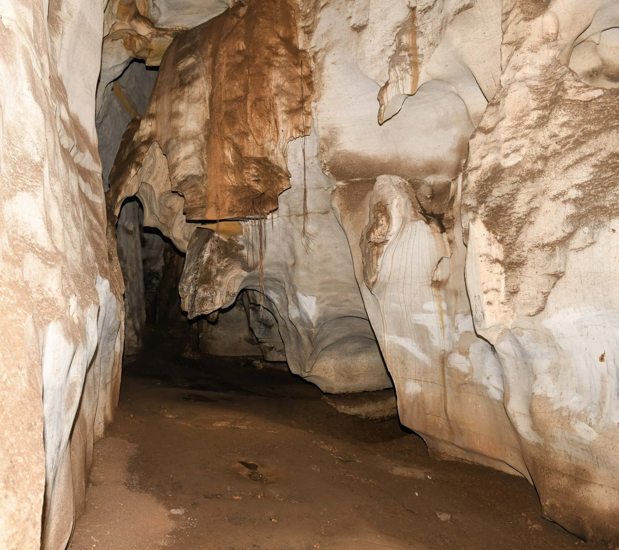
Amboni Caves
Amboni Caves offer an atmospheric journey beneath Tanzania's northern coast. Near Kiomoni village, about 8 km north of Tanga, this limestone cave complex brings together underground chambers, sculpted rock formations and stories passed down through local communities. A guided visit explores the established visitor route and introduces the site's natural and cultural heritage. Inside, narrow passages open into larger chambers, with stalactites, stalagmites and striking shapes that guides interpret through geology and local folklore. The caves also hold spiritual significance for surrounding communities; sacred places and offerings should be treated with respect. Outside, wooded surroundings provide a peaceful contrast to the underground experience. Amboni is an appealing excursion during a stay in Tanga or as part of a wider coastal journey. Pair it with a city heritage walk or a separately arranged visit to Tongoni Ruins. Wear shoes with good grip, travel with a small bag, follow your guide and confirm current access, fees and tour arrangements before setting out.

Arusha Central Market Tanzania
Arusha Central Market, commonly known as Soko Kuu, is one of the city’s most interesting places to experience everyday life in northern Tanzania. Located in the central Sokoine and Bondeni area, the market serves local residents, traders, families, food vendors, and businesses purchasing products for daily use. Unlike a market designed exclusively for tourists, Arusha Central Market is primarily a working local marketplace. Its covered passages and busy stalls offer a lively combination of colours, sounds, aromas, and human activity. Visitors may find fresh fruits and vegetables, grains, legumes, spices, fish, meat, clothing, fabrics, footwear, and other everyday products, depending on the market section and current availability. A walk through the market introduces travelers to the ingredients and products that form part of everyday Tanzanian life. It is an opportunity to observe how food is displayed, how traders organize their businesses, and how local residents shop and negotiate. The experience is particularly valuable when accompanied by a knowledgeable local guide who can explain unfamiliar foods, Swahili market vocabulary, local customs, and appropriate ways to interact with traders. Visitors should remember that the Central Market is a place of work and commerce, not simply a tourist attraction. For travelers staying in Arusha before or after a northern Tanzania safari, the market can be included in a private city tour. It may also be combined with the Clock Tower, Arusha Declaration Museum, Cultural Heritage Centre, Maasai Market, Tanzanite-related experiences, or other local attractions. With TanzaLux Safaris, a visit to Arusha Central Market becomes a respectful cultural experience designed around the traveler’s interests, schedule, and comfort.

Arusha National Park
Arusha National Park is one of northern Tanzania's most diverse and accessible national parks, located close to Arusha city and dominated by the dramatic presence of Mount Meru. Covering approximately 552 square kilometres, the park combines montane forest, open grasslands, volcanic landscapes, crater scenery and the beautiful Momella Lakes within a relatively compact area. Unlike Tanzania's famous big-game parks, Arusha National Park is best known for the variety of experiences it offers. Travelers can explore the park by safari vehicle, discover wildlife on guided walking experiences, enjoy birdwatching around the forest and lakes, or experience a canoe safari on the Momella Lakes. Mount Meru, rising to 4,566 metres, forms the spectacular backdrop to much of the park. The mountain is also a major trekking destination in its own right and provides a quieter alternative for travelers seeking a multi-day mountain adventure. The park supports giraffes, buffaloes, zebras, warthogs, antelopes, blue monkeys, black-and-white colobus monkeys and abundant birdlife. The Momella Lakes are particularly scenic, with waterbirds and seasonal flamingos creating beautiful photographic opportunities. Arusha National Park is ideal for travelers arriving in Arusha, families looking for a shorter safari experience, photographers, birdwatchers, active travelers and visitors who want to combine wildlife with walking, canoeing and mountain scenery. With TanzaLux Safaris, Arusha National Park can be arranged as a private day safari, a walking and canoeing experience, or as part of a wider Northern Tanzania itinerary connecting Arusha, Mount Meru, Tarangire, Lake Manyara, Ngorongoro and Serengeti.

Arusha Snake Park
Arusha Snake Park, commonly known as Meserani Snake Park, is an accessible reptile and cultural attraction west of Arusha. It makes a useful addition to a city stay or a planned stop on a northern Tanzania safari journey. The park’s own website places it approximately 25 kilometres from Arusha on the route towards Ngorongoro and the Serengeti. Its appeal is a focused visit with time to learn, ask questions and explore at a gentler pace between longer travel days. The main experience is a guided look at snakes and other reptiles in managed enclosures. The operator describes a collection that includes mambas, cobras, puff adders and pythons, alongside crocodiles, monitor lizards and tortoises. Exhibits and individual animals can change, so treat any species list as an introduction rather than a guarantee. A knowledgeable guide helps visitors understand differences between animals, their adaptations and the role reptiles play in their habitats. Take time to observe rather than rushing from enclosure to enclosure. Notice posture, camouflage and movement, and use the visit to build a greater appreciation of animals that can be difficult to see during a conventional safari. This is an enclosure-based attraction; the experience differs from looking for free-ranging wildlife in Tanzania’s national parks. It is especially rewarding for curious travellers who want a closer educational introduction to reptiles. The Maasai Cultural Museum provides another dimension to the stop, with guided interpretation of Maasai traditions and everyday life. The site also describes a Maasai crafts market. A museum visit offers an introduction, while any separately arranged community visit is its own experience. Approach cultural encounters with curiosity and respect: ask before taking portraits, listen to your host’s explanation and allow space for questions. Purchases are optional, and prices should be agreed directly with the seller. We suggest keeping roughly two to three hours available for the park and museum, with additional time for transport, craft browsing or other agreed activities. This is a flexible planning allowance, not a fixed tour duration. Visitors with a strong reptile interest may want longer, while a short safari transfer stop can be shaped around the time available. Establish the visit’s scope before arrival so that it fits comfortably with lunch, hotel check-in and your onward journey. For families, choose a pace that suits the children’s ages and attention spans. Stay together near enclosures, follow staff instructions and explain that barriers are there for everyone’s safety. Animal handling is optional and should only be considered if explicitly offered and supervised by authorised staff; you can enjoy the visit entirely through observation. Never open an enclosure, touch an animal independently or attempt to recreate a demonstration. Arusha offers a wide choice of accommodation for travellers making a day visit. The park also advertises a campsite, which should be booked separately with details of facilities, meals and equipment confirmed beforehand. An overnight camping arrangement and a daytime attraction visit have different requirements, so request a clear quotation identifying exactly what is included. Confirm visitor hours, admission charges and guide availability close to your travel date. Bring comfortable shoes, drinking water, sun protection and a light rain layer. A camera can be useful, but ask about photography rules and avoid flash or any action that disturbs animals. If you need step-free access or assistance, discuss the actual paths, facilities and vehicle drop-off point in advance. A well-planned visit can turn a simple roadside stop into a thoughtful introduction to reptiles and local cultural interpretation.
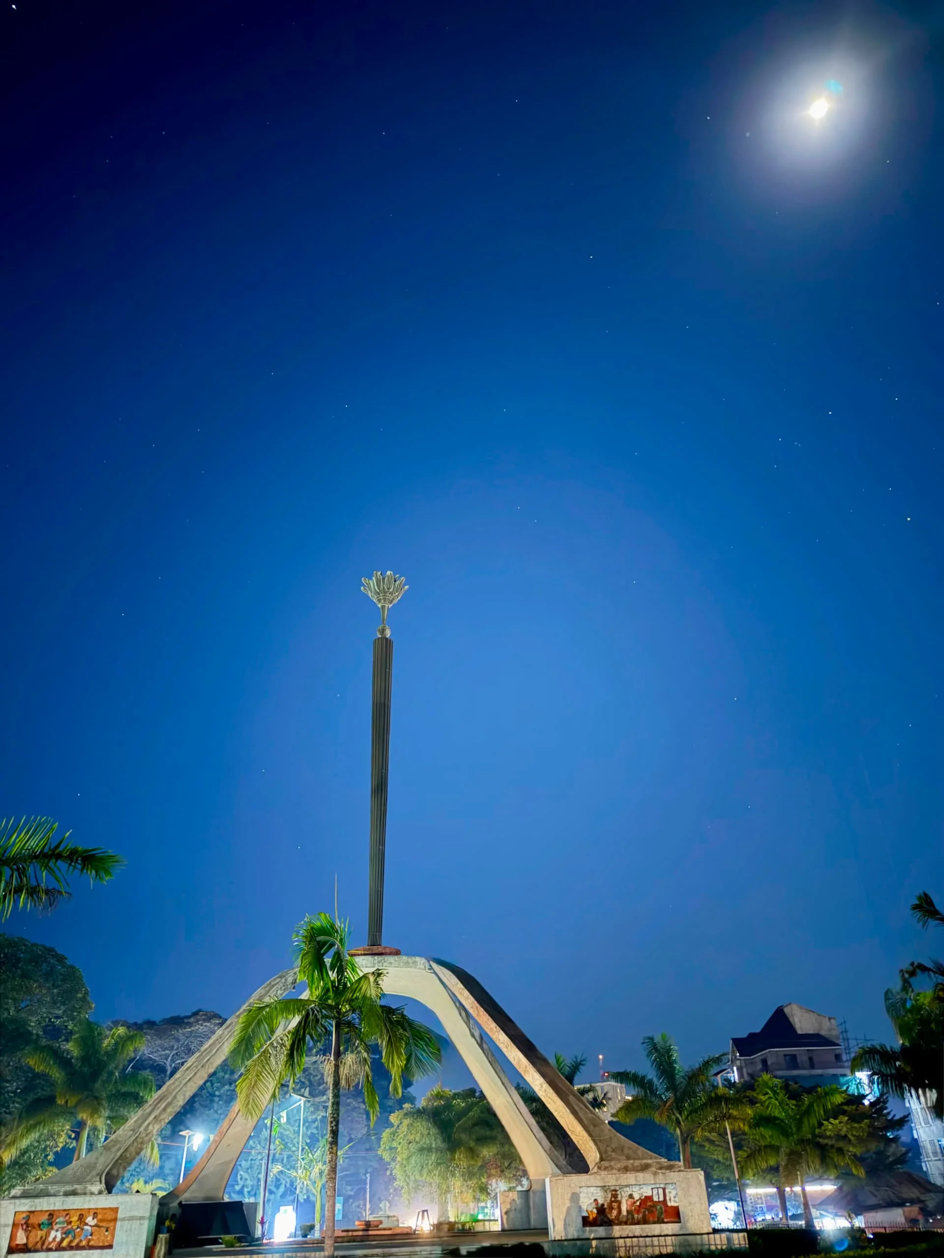
Arusha, Tanzania
Arusha Tanzania is the gateway to the Northern Safari Circuit and one of the most important tourism destinations in northern Tanzania. Located beneath the dramatic Mount Meru, the city combines safari access with culture, history, local markets, art, coffee, gemstones and beautiful highland scenery. For many travelers, Arusha is the starting point for journeys to Serengeti National Park, Ngorongoro Conservation Area, Tarangire National Park, Lake Manyara National Park and Mount Kilimanjaro. But Arusha is also a destination worth experiencing in its own right. A stay in Arusha can include a guided city tour through local markets, visits to cultural and historical attractions, Tanzanite experiences, traditional and contemporary Tanzanian art, coffee experiences, and excursions into the natural landscapes surrounding Mount Meru. Nearby Arusha National Park adds an important wildlife and nature dimension. The park includes Mount Meru, Momella Lakes, Ngurdoto Crater and highland forests, with wildlife such as giraffe, buffalo, zebra, elephant, hippo, waterbuck, monkeys and more than 450 recorded bird species. TANAPA also highlights Mount Meru and the park's varied volcanic landscapes as major attractions. Arusha is especially valuable for travelers who want to combine a Tanzania luxury safari with meaningful cultural experiences. Instead of simply arriving in the city and leaving the next morning, visitors can use Arusha as a relaxed introduction to Tanzania before or after a safari, Kilimanjaro climb or Northern Circuit adventure. With TanzaLux Safaris, Arusha can be customized as a private city experience, cultural stop, safari starting point, post-safari relaxation stay or gateway to the surrounding attractions.
Bagamoyo
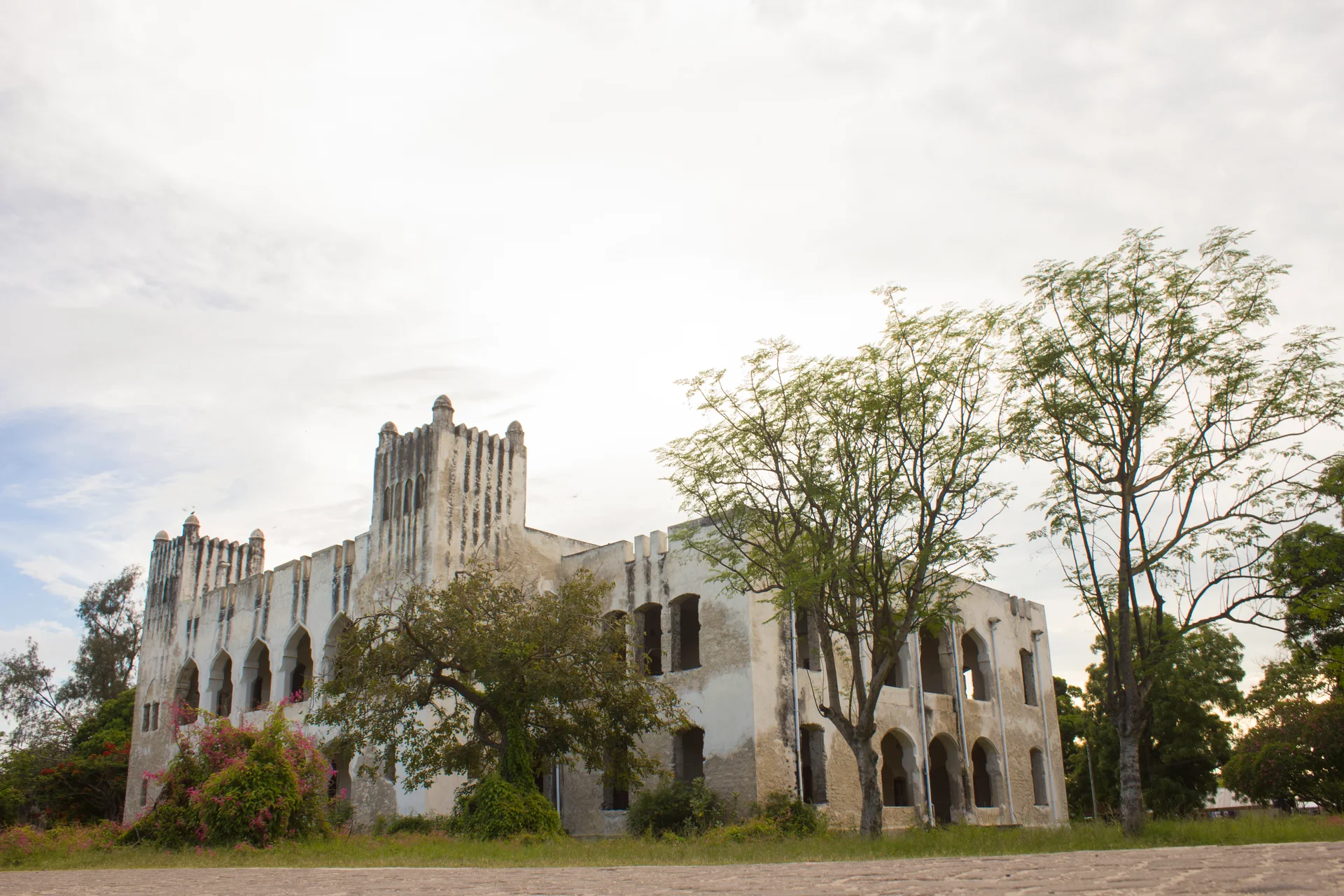
Bagamoyo brings together coastal heritage, a working waterfront and time beside the Indian Ocean. On Tanzania’s mainland coast in Pwani Region, north of Dar es Salaam, the town rewards travellers who enjoy guided walks, historic architecture and learning from the communities who live here. Explore the old quarter with a local guide, pausing at landmarks such as the Old Fort, German Boma and Caravan Serai. Heritage interpretation connects the town with inland caravan routes, the ivory trade and the history of slavery, as well as missionary activity and colonial rule. Allow space for thoughtful discussion of this difficult past, and confirm access before entering historic buildings or religious premises. Nearby Kaole adds an earlier chapter through coral-stone mosque remains and historic tombs. This archaeological stop can be combined with the Catholic mission museum and other heritage sites according to current opening arrangements. Wear comfortable shoes for uneven ground and follow your guide’s advice to protect fragile structures. The waterfront offers a view of Bagamoyo as a living coastal community, with fishing boats and everyday activity beside the sea. Leave time to browse local art and crafts or relax at coastal accommodation. The town’s arts community provides another reason to linger: performances, classes and festival visits at the Bagamoyo Institute of Arts and Culture (TaSUBa) depend on its current programme and advance arrangements. A day trip can introduce the main heritage stops, while an overnight stay allows a slower itinerary and more time on the coast. Plan outdoor walks for cooler parts of the day, carry water and sun protection, dress respectfully in town and ask before photographing residents. Confirm local conditions and suitability before swimming or arranging a boat outing. Choose accommodation and transfers that match your preferred balance of history, culture and relaxation.
Bongoyo Island Marine Reserve
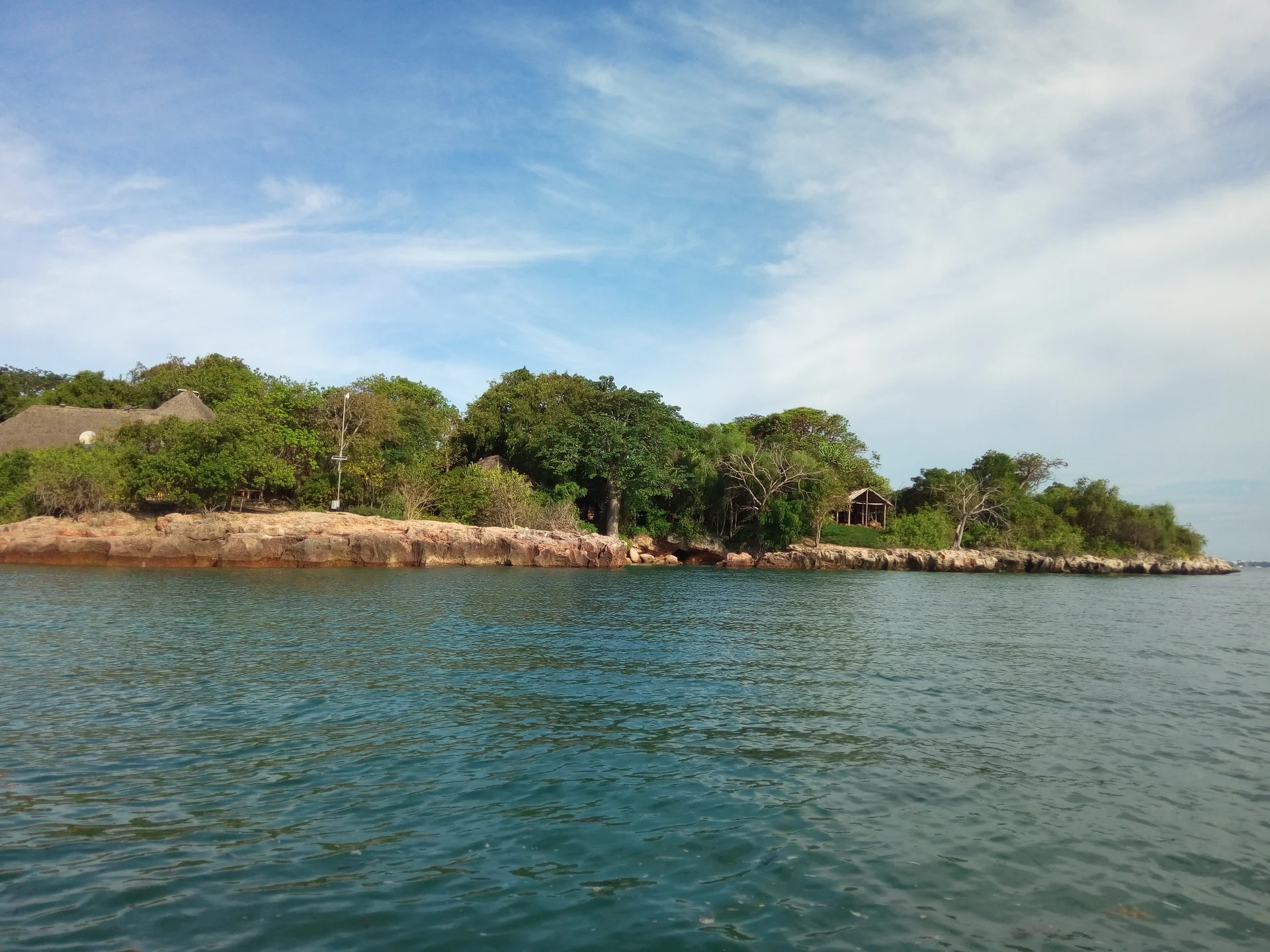
Bongoyo Island Marine Reserve is a protected island off Dar es Salaam’s Msasani Peninsula and part of the Dar es Salaam Marine Reserves system. Its appeal is the combination of a boat excursion, sandy shores, coastal woodland and surrounding marine habitats within reach of a city stay. It can suit travellers looking for a relaxed island day between other Tanzania experiences, provided the boat journey and activities are arranged around current sea conditions. The island is uninhabited and is commonly visited on a day excursion. Slipway, on the Msasani Peninsula, is an established departure point with boat services advertised for Bongoyo. Confirm the current service directly: departure times, passenger requirements, prices and collection arrangements can change. A published boat timetable should be treated as something to reconfirm rather than a promise that a vessel will leave regardless of weather or numbers. Bongoyo is more than its main beach. Coastal vegetation, rocky shores, reef, seagrass and intertidal environments give interest to an agreed nature walk or a quiet observation stop. Local guidance should determine the route and which features may be visited. Ask about a guided walk if you want to explore beyond the landing beach, and avoid assuming that every lagoon, trail or historical feature is open or suitable for independent access. The surrounding habitats support reef fish and shore life, while birds and other island wildlife may be encountered. Sightings are uncertain and the reserve should be enjoyed without handling animals or collecting natural materials. A snorkelling visit can add another perspective when visibility, tide and the chosen location allow, but it needs appropriate equipment and support rather than an assumption that the whole shoreline is suitable for entry. Plan the day around the group’s interests. Some travellers prefer shade, a book and beach time; others want a short guided walk or an arranged water activity. Confirm what is included before departure and allow a simple alternative if conditions change. The skipper and guide should set suitable locations and timing. Families and less confident swimmers can choose a shore-focused visit without needing to make snorkelling the centre of the outing. A practical planning outline is to travel from your Dar es Salaam hotel to the confirmed mainland meeting point, check the return arrangements and complete the required entry formalities. Cross by boat, receive a local briefing and settle into the agreed programme. Leave time for lunch if booked, then meet the return boat at the specified place and time. This is a flexible outline, not a fixed ferry schedule or a guarantee of particular activities. Tourism information describes beach bandas or shade facilities and local meal options, but their availability, condition and prices need current confirmation. Ask whether seating is reserved, whether the package includes food and drinking water, and how dietary needs will be handled. Facilities should be assessed as part of an island excursion rather than assumed to match a full-service resort. Photos from earlier visits illustrate the island and do not promise today’s services. Prepare for sun, salt water and the boat journey. Bring suitable sun protection, a hat, drinking water, a towel and a waterproof bag for essentials. Check footwear for boarding and the walk you intend to take. Ask about lifejackets in appropriate sizes and discuss mobility requirements before booking, since the actual vessel and landing method matter. Keep the return plan and organiser’s contact details available throughout the visit. Bongoyo is a conservation area, and visitor behaviour matters. Follow staff instructions, stay on the agreed paths, avoid standing on coral or disturbing seagrass, and leave shells and wildlife where they belong. Take litter back to the mainland and avoid feeding animals. Specialist activities such as diving, commercial filming or overnight stays need separate advice and any applicable approvals; they are not included simply because a day-trip boat has been booked. Request a quotation that separates reserve entry, return boat travel, road transfers, meals, equipment and any additional service. Reconfirm the visitor category used for entry charges, accepted payment methods and cancellation terms. Keep an alternative mainland day available if the crossing is postponed and avoid a tight onward flight after the planned return. A city tour, mainland coast stay or safari extension can complement the visit when the wider travel schedule leaves enough room.
Burigi-Chato National Park
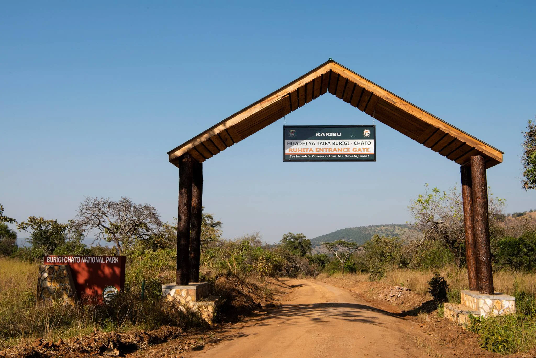
Burigi-Chato National Park opens up a broad landscape of lakes, wooded savanna and rolling hills in northwestern Tanzania. Spanning parts of Kagera and Geita regions, it brings together the former Burigi, Biharamulo and Kimisi game reserves, which were upgraded into a national park in 2019. For travellers who enjoy exploring varied habitats at a patient pace, the park offers a combination of land-based wildlife viewing, wetland scenery and a sense of space away from Tanzania’s busiest safari routes. Lake Burigi is a focal point of the landscape. Its elongated waters, bays and swampy margins provide a different setting from the open grassland, with birds, aquatic wildlife and reed-fringed views adding interest to an itinerary. Across the wider park, woodland, hills, valleys and plains create changing scenery. The western side reaches the Kagera River near Rwanda, while the eastern landscape connects with the Lake Victoria region. Planning the route around a particular gate and accommodation base helps visitors appreciate these contrasts without spending every day on long transfers. Wildlife recorded by TANAPA includes elephants, buffalo, zebra, giraffe, eland, roan antelope, topi, impala and waterbuck. Sitatunga are associated with swamp habitat, while lions, leopards and spotted hyenas are among the carnivores listed for the park. Hippos and crocodiles inhabit the water environments. Animals range across a large area, and sightings depend on habitat, season and the guide’s local knowledge. A rewarding visit balances searching for wildlife with time to enjoy tracks, birds, vegetation and the scenery itself. Game drives are the main way to explore, with guided walking safaris offering a closer look at the landscape where park arrangements permit. Birdwatching can bring together woodland and wetland outings; African fish eagles are a notable interest. Some publications mention rare shoebills, but a sighting should be treated as uncertain and should not be the sole reason for choosing the park. Boating or canoeing on approved water routes may be arranged in advance with park authorities, subject to equipment, guides and conditions. Camping and stargazing offer another way to experience the setting, while picnics and photography stops should use designated places. June to September is generally the driest core period, often making road travel and wildlife viewing easier. The broader dry-season window can extend into October, while November–December and March–April are the main rainfall peaks. A green-season journey can be appealing, but conditions and access vary. Keep activity plans flexible and confirm the actual routes and facilities operating for the intended dates. We suggest two or three nights in or near the park for an initial visit, with extra time for multiple sectors or a wider western Tanzania itinerary. Public and special campsites are listed by TANAPA, and nearby towns provide additional accommodation options. Chato and Bukoba are useful access gateways, with onward road transport coordinated around the chosen entry point. Burigi-Chato can be considered alongside Rubondo Island or a broader Lake Victoria journey when transport and operating arrangements fit the travel dates.
Central Serengeti
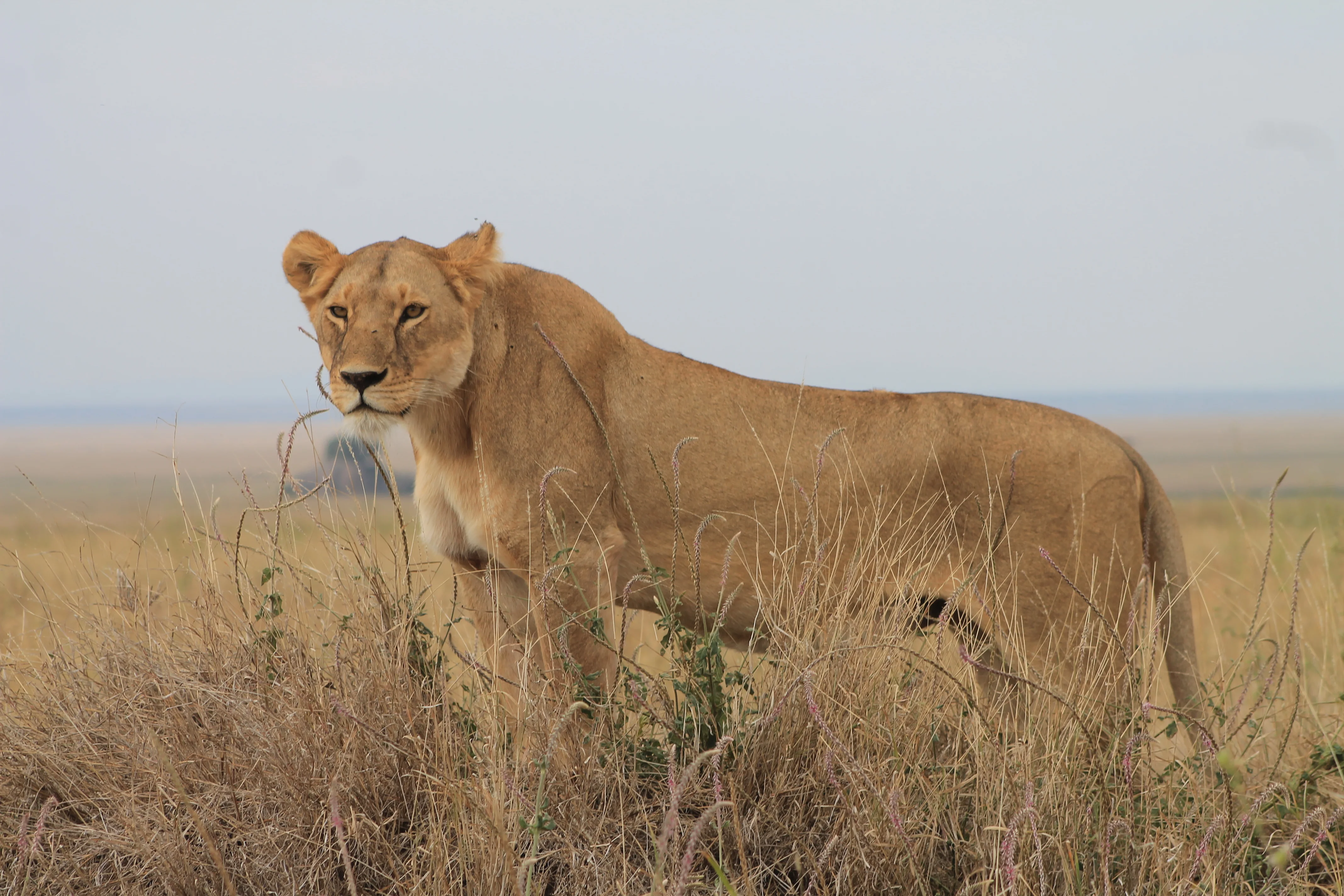
Central Serengeti is one of the most rewarding wildlife destinations in Tanzania and forms the geographical and safari heart of Serengeti National Park. The area is best known for the Seronera Valley, a beautiful landscape of open grasslands, acacia woodland, riverine vegetation, seasonal wetlands and ancient granite kopjes. The Seronera River and surrounding water sources help sustain resident wildlife even when the Great Migration moves into other parts of the Serengeti. This makes Central Serengeti an excellent year-round destination for travellers hoping to experience classic African wildlife, including lions, leopards, cheetahs, elephants, buffaloes, giraffes, zebras, wildebeest, hippos and spotted hyenas. The rocky kopjes provide important resting and lookout points for lions, while the riverine trees and woodland create suitable habitats for leopards and other animals. The open plains around Seronera are also ideal for observing cheetahs, gazelles, ostriches and other species adapted to grassland environments. Central Serengeti is also connected to the seasonal movements of the Great Wildebeest Migration. Depending on rainfall and grazing conditions, migrating wildebeest, zebras and gazelles may pass through the region at different times of the year. The area is easy to combine with the Ngorongoro Conservation Area, Southern Serengeti, Western Serengeti and Northern Serengeti. Travellers can reach Central Serengeti by road or by flying into Seronera Airstrip, making it a practical choice for short safaris, luxury holidays, family trips, photography expeditions and longer Northern Tanzania itineraries. With TanzaLux Safaris, visitors can explore Central Serengeti through carefully planned private game drives, comfortable accommodation, experienced safari guides and personalised itineraries designed around wildlife interests, travel dates and preferred levels of comfort.
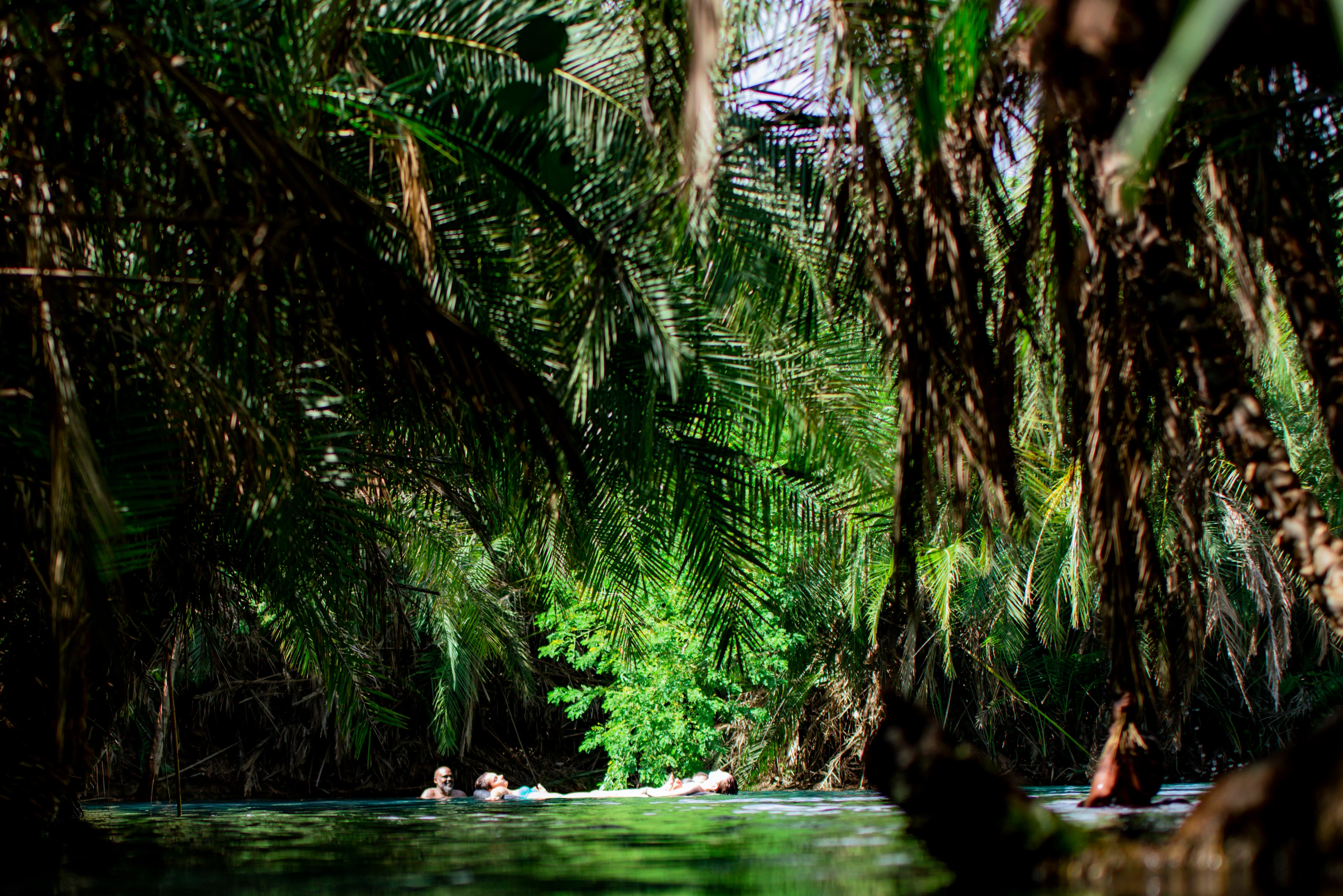
Chemka Hot Springs
Chemka Hot Springs, also known as Kikuletwa Hot Springs, Maji Moto or Rundugai Hot Springs, is one of northern Tanzania's most distinctive natural swimming and relaxation destinations. Hidden in the rural landscape of Kilimanjaro Region, the spring creates a striking turquoise oasis surrounded by trees, roots and dry plains. Despite the name "hot springs," Chemka is not a boiling thermal pool. The water is pleasantly warm and comfortable for swimming, with published sources commonly placing the temperature around 25–30°C. The name Chemka refers to the bubbling or boiling appearance of water emerging from underground. The clear spring water, natural pools, shaded trees and peaceful surroundings make Chemka an ideal place to swim, relax, take photographs and enjoy a slower side of Tanzania beyond traditional wildlife safaris. Chemka is located in the Rundugai area between Moshi and Arusha and is particularly popular as a day trip from Moshi. It can also be incorporated into a private northern Tanzania itinerary before or after a Kilimanjaro climb, safari, Materuni Waterfalls experience or other activities around the Kilimanjaro region. With TanzaLux Safaris, a Chemka Hot Springs experience can be arranged as a private day trip with comfortable transport, local guidance, swimming time, relaxation and an itinerary designed around your Tanzania holiday.
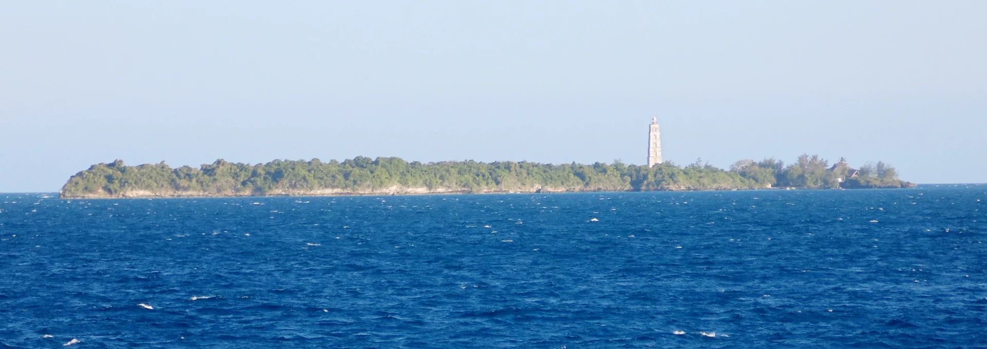
Chumbe Island Marine Sanctuary
Chumbe Island Marine Sanctuary is a rewarding Zanzibar escape for travellers who want to understand the coast as well as enjoy it. Often known as Chumbe Island Coral Park, or CHICOP, it combines a protected reef with an island forest and a small eco-lodge off Unguja's west coast. Guided encounters with nature, quiet time beside the sea and a strong conservation purpose shape the experience. Choose a reserved day visit or stay overnight to enjoy the island at a slower pace. A sanctuary with a purpose The reef sanctuary and forest reserve received legal protection in 1994. Chumbe's privately managed, not-for-profit model uses visitor revenue to finance protection and environmental education. The project works with people from Zanzibar's coastal communities, including local staff, food suppliers and craftspeople. Its education programme supports school excursions, teachers, students and community learning. Visiting provides a chance to ask how a small tourism operation can support an ecosystem, and to see the practical work behind that ambition. Discover the reef The shallow coral habitat is the centrepiece of the marine experience. Rangers guide guests through a colourful underwater landscape, explaining what to look for and how to move without damaging living corals. The sanctuary supports hundreds of recorded reef-fish species alongside a wide variety of invertebrates. Green and hawksbill turtles and reef sharks occur in the area, but sightings depend on the day. A gentle pace and careful observation can reveal as much as a search for larger animals. Never stand on coral, chase wildlife or take anything from the reef. Beyond the water On land, the coral-rag forest reveals a different side of the island. Plants grow among exposed limestone and fossil coral, while paths introduce visitors to the forest's adaptations. Birds, lizards and crabs add interest along the way. The rare Aders' duiker lives in the protected forest but is elusive, so treat an encounter as a special possibility. Overnight guests can ask about an evening walk to look for coconut crabs. Leave animals undisturbed and follow the ranger's instructions around the rugged ground. Heritage and shore walks A historic lighthouse and a small mosque add cultural context to the reserve. Ask staff about current access, including whether the lighthouse climb is suitable for you, and respect the mosque as a place of worship. Intertidal exploration offers another view of coastal life when the water recedes. The available route changes with the tide; a full circuit is possible only at sufficiently low spring tides. Let the ranger choose the outing rather than attempting an independent crossing of exposed rocks and pools. Staying on the island Chumbe has seven eco-bungalows, with solar electricity, rainwater collection and composting toilets forming part of their design. These are open, nature-focused spaces, intended for guests who enjoy sea breezes and the sounds of the island. Meals draw on Zanzibari flavours, and dietary requirements should be discussed in advance. Request the bungalow arrangement that suits your party, especially if stairs or an open sleeping platform may be difficult. An overnight stay allows more time for interpretation, rest and evening wildlife activity than a day trip. Plan the visit carefully Reserve before travelling and use the sanctuary's authorised boat transfers. Independent boat landings are not accepted. Confirm the meeting point, availability, inclusions and current charges in writing, with particular attention to government levies and transfers from your Zanzibar hotel. Allow a full day for a day excursion and avoid a tight flight connection. Weather, tide and the ranger's judgement determine which activities are practical. Pack lightly, protect valuables from spray and wear suitable footwear for the forest and boarding. A thoughtful Zanzibar combination Chumbe works well alongside time in Stone Town or a longer Unguja beach stay. Keep the island day free of competing appointments so that the experience can unfold around sea conditions. For a conservation-focused itinerary, allow one or two nights as a suggested pace, subject to availability. Listen to the briefing, minimise disposable packaging and give yourself time to notice the smaller details that make this protected island distinctive.
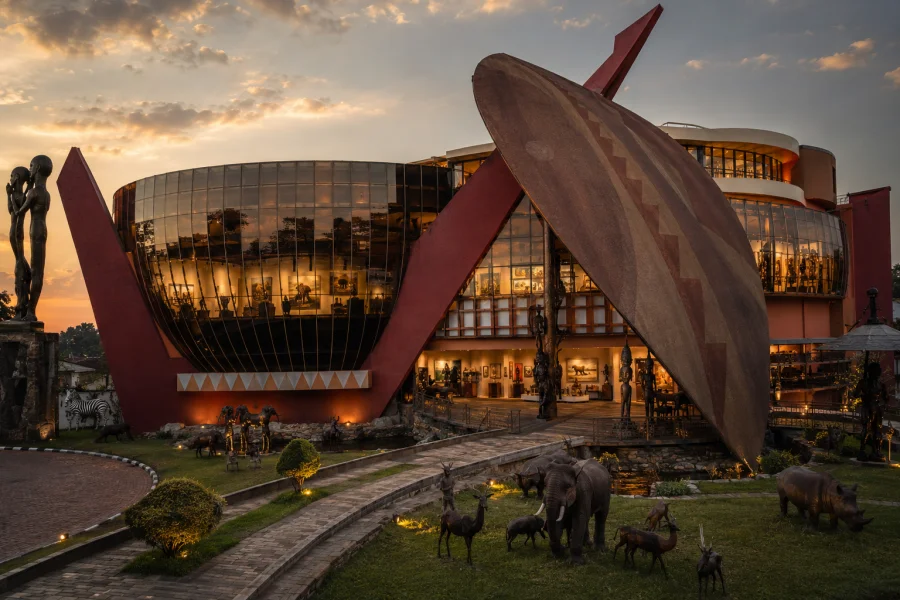
Cultural Heritage Centre Arusha
Cultural Heritage Centre Arusha is a celebrated cultural and artistic destination located on Dodoma Road in Arusha, Tanzania. Established in the 1990s, the centre has developed from a gallery into a broad cultural complex where visitors can discover African art, traditional craftsmanship, gemstones, jewelry, cultural collections, and creative workshops. The centre offers travelers an opportunity to experience a different side of Tanzania beyond wildlife and landscapes. Its galleries display a wide range of African artistic expressions, including paintings, sculptures, traditional objects, Makonde carvings, and colourful Tinga Tinga artwork. Visitors can also explore handmade crafts, textiles, baskets, carvings, decorative pieces, and other objects connected to African artistic traditions. One of the centre’s major attractions is its gemstone and jewelry section, where visitors can learn about Tanzanian gemstones such as tanzanite and explore jewelry designs created by skilled artisans. Tanzanite, a rare blue gemstone associated with northern Tanzania, is an important part of the country’s mineral and jewellery heritage. The Cultural Heritage Centre also offers opportunities to observe or participate in selected creative activities, including beadwork, painting, weaving, and other craft experiences, depending on the current programme and availability. For safari travelers, the centre is a convenient cultural stop before or after visiting Tarangire National Park, the Ngorongoro Crater, Serengeti National Park, or other northern Tanzania destinations. It can also be combined with an Arusha city tour, Mount Kilimanjaro itinerary, Materuni Waterfalls, or Chemka Hot Springs. With TanzaLux Safaris, visitors can include the Cultural Heritage Centre in a private and personalized Tanzania itinerary designed around their interests, schedule, and travel style.
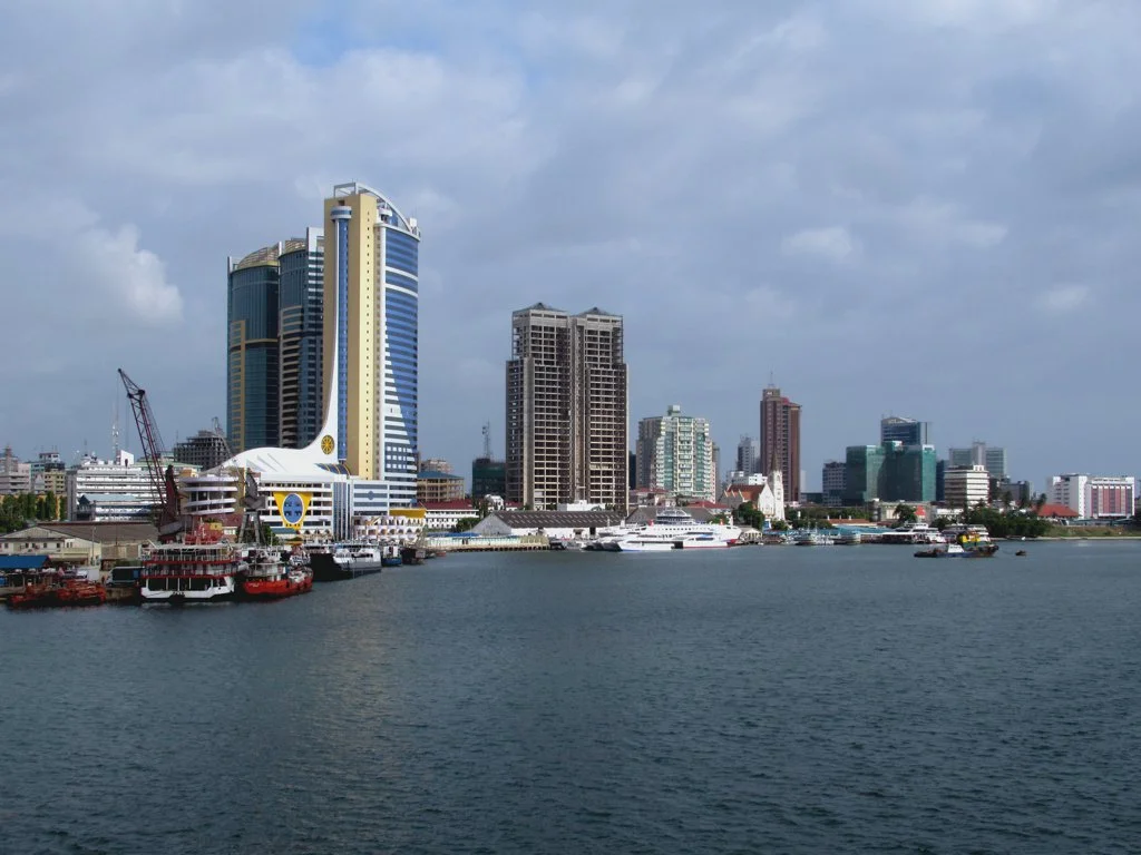
Dar es Salaam
Dar es Salaam is Tanzania’s largest city and a major commercial port on the Indian Ocean. Its harbour, busy streets, museums, markets and coastal neighbourhoods make it an engaging destination in its own right as well as a gateway for onward travel. A stay can combine city heritage and everyday urban life with a separately arranged beach or marine-reserve excursion. Begin with the central city and its waterfront setting. A guided route can introduce the Askari Monument, historic streets and architectural landmarks such as St Joseph’s Cathedral, with access appropriate to the site. Working streets and religious buildings need respectful visits: ask before photographing people, dress appropriately and follow local instructions about entry. Group nearby stops together so the day leaves time to absorb the city rather than spending it moving between distant neighbourhoods. The Museum and House of Culture on Shaaban Robert Street provides a useful introduction to Tanzania’s archaeology, history, ethnography, biology and contemporary arts. The National Museum of Tanzania also manages the Village Museum in Dar es Salaam, offering another perspective on traditions and cultural heritage. Confirm current opening arrangements, admission and any guided programme before visiting; exhibitions, performances and services should not be assumed from an older itinerary. Markets and craft stops add a different perspective. Ask a local guide to arrange a visit suited to your interests, whether everyday trading, textiles, artwork or souvenirs. Kariakoo and the Mwenge area may feature in a requested programme when current access and the day’s route permit. Allow traders to work, agree a price before purchasing and ask permission for close photographs. An organised visit can help explain the context without treating a working market as a staged attraction. Food is another way to explore the city. Discuss a suitable restaurant, market-food visit or tasting programme with your organiser, including dietary requirements and the style of meal you want. Coastal and Swahili influences sit alongside a wide range of urban dining choices. Specify what is included, whether transport is arranged and how much time you want to spend, particularly if the meal falls between a tour and an onward departure. For time by the sea, the Msasani Peninsula and northern coast can fit a slower part of the stay. Bongoyo and Mbudya are separate marine-reserve excursions requiring confirmed boat travel, entry arrangements and an assessment of conditions. They are not automatically included in a city tour. Swimming or snorkelling depends on the chosen site, tide, weather and participant ability; keep a mainland option if the boat programme changes. An illustrative two-day outline is: Day 1: Explore a practical cluster of central heritage stops with a guide, visit the Museum and House of Culture when open, and allow time for lunch and a market or craft stop that fits the route. Day 2: Choose either the Village Museum and a relaxed coastal-neighbourhood visit, or a separately booked marine-reserve excursion when conditions permit. The actual sequence should follow opening arrangements, road traffic, your hotel location and the time available. Transfers, meals, admissions and boat activities need explicit confirmation. Accommodation location matters. A central base can suit downtown sightseeing or a planned ferry connection, while a Msasani-area or northern-coast stay may fit dining and coastal activities. A short airport stopover may call for a different location again. Compare the full route and transfer plan rather than choosing a hotel solely by a map distance. Discuss room type, access needs, family requirements and the actual services supplied by the property before booking. Julius Nyerere International Airport serves the city, with domestic and international connections. Dar es Salaam also has ferry connections to Zanzibar, and it can form part of a southern Tanzania safari itinerary. Confirm the airline, airport terminal, ferry operator, check-in requirements and all onward arrangements directly. Allow generous time for traffic and avoid combining a sea excursion, cross-city transfer and tight flight connection in one inflexible schedule. Prepare for a warm coastal city. Carry water, sun protection and comfortable footwear, plan breaks and keep valuables secure in busy places. Ask the organiser about suitable walking sections, transport and assistance for your needs. Fees, schedules, market access and services can change, so use a dated quotation and reconfirm the specific programme. A thoughtful city stay leaves room for both planned visits and the time needed to move comfortably between them.
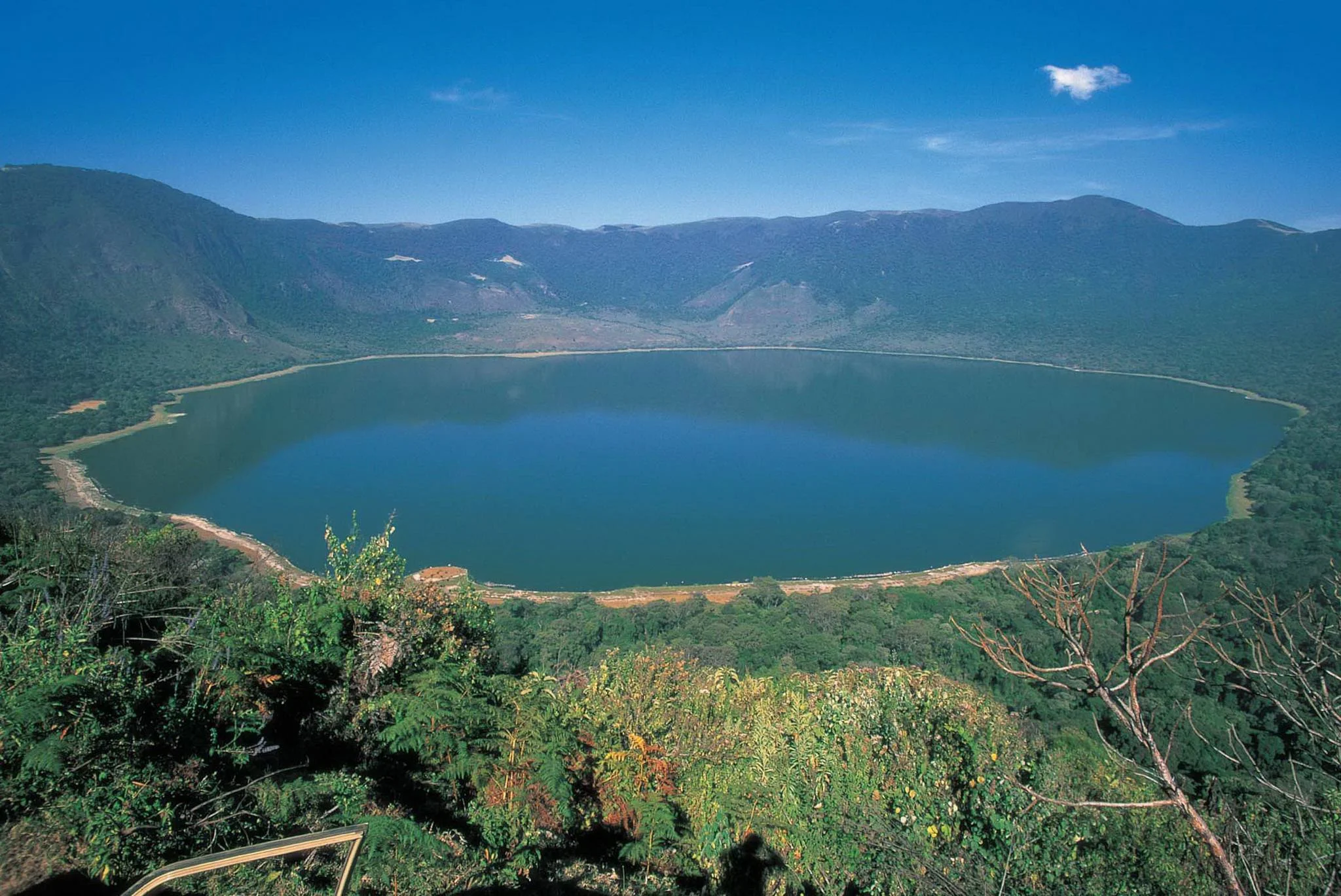
Empakaai Crater
Empakaai Crater is one of the most spectacular volcanic landscapes in the Ngorongoro Conservation Area and one of northern Tanzania's most rewarding destinations for travelers who want to explore beyond traditional game drives. Located in the Ngorongoro Highlands, Empakaai is a dramatic volcanic crater approximately six kilometres across and around 300 metres deep from its rim. At the bottom lies a striking alkaline crater lake, nearly 62 metres deep according to the Ngorongoro-Lengai Geopark. Natural springs from the surrounding highlands feed the lake, while mineral-rich alkaline conditions can create pale soda deposits along parts of the shoreline. Small colonies of pink flamingos may sometimes be observed on or around the lake, together with other highland and water-associated birdlife. Flamingo numbers vary naturally according to water conditions, food availability and movement between East African alkaline lakes, so sightings should never be guaranteed. Unlike Ngorongoro Crater, which is primarily experienced by safari vehicle, Empakaai is particularly valued as a walking and trekking destination. Authorized guided walks can descend through the crater's highland vegetation toward the lake, allowing travelers to experience the volcanic landscape at a slower and more intimate pace. Walking activities within the Ngorongoro Conservation Area require advance arrangements and must follow NCAA regulations, including accompaniment by an armed ranger. The crater is part of the Ngorongoro Volcanic Highlands, a remarkable geological landscape shaped by volcanism and tectonic activity associated with the East African Rift. Empakaai, Ngorongoro and Olmoti are all internationally significant volcanic features within the UNESCO-listed Ngorongoro Conservation Area. From high points around the Empakaai landscape, clear conditions can reveal magnificent views across the surrounding highlands and toward Ol Doinyo Lengai, Tanzania's famous active volcano near Lake Natron. For adventurous travelers, Empakaai can form part of a longer Ngorongoro Highlands journey linking Ngorongoro, Olmoti, Empakaai and the landscapes toward Lake Natron. With TanzaLux Safaris, Empakaai Crater can be incorporated into a private Northern Tanzania itinerary for travelers interested in hiking, geology, birdwatching, photography, volcanic scenery and destinations beyond the conventional safari route.
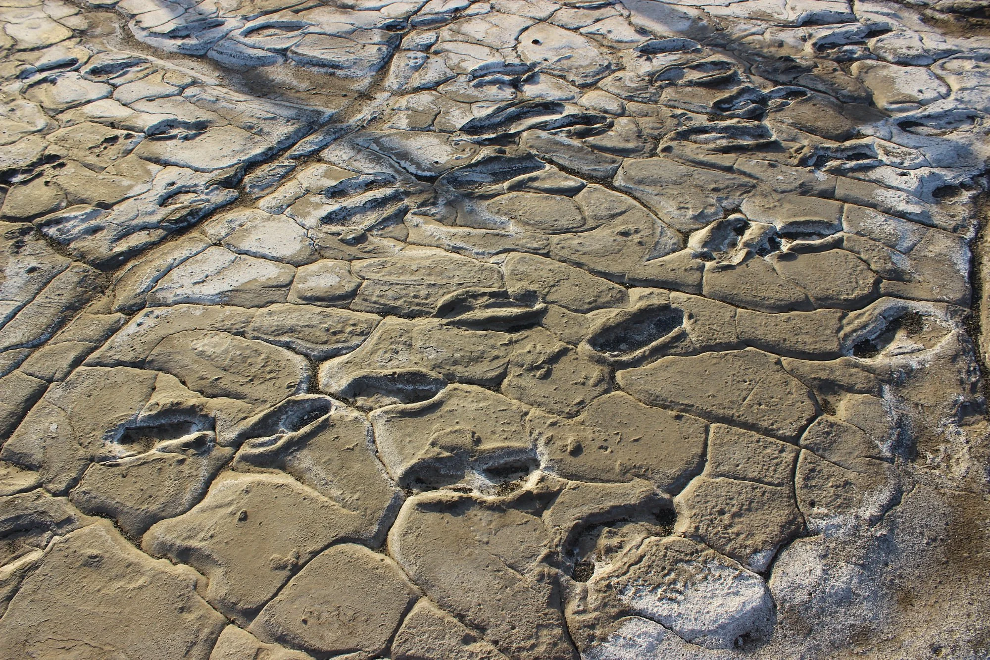
Engaresero Footprints
Engaresero Footprints offers a remarkably personal encounter with Tanzania’s ancient past. Near the village of Engare Sero on the southern side of Lake Natron, human steps remain preserved in hardened volcanic sediment. Rather than imagining history through a skeleton or a stone tool, visitors can consider the movements of people who crossed this landscape thousands of years ago. The site rewards a thoughtful, guided visit and fits especially well into a Lake Natron itinerary focused on geology, archaeology and the wider East African Rift landscape. The site is also written as Engare Sero Footprints. Published research documented at least 408 human footprints, representing the paths of at least 20 individuals. Their shape and age support attribution to Homo sapiens, our own species. Dating places the footprint surface within a broad range of approximately 6,000 to 19,000 years ago. This is a scientific age bracket rather than one precisely established date, and visitors should be cautious of descriptions that give a single exact age without explaining the uncertainty. The impressions formed when people walked barefoot across wet, ash-rich sediment associated with volcanic material from nearby Ol Doinyo Lengai. Water had transported and redeposited the volcanic material. The soft surface recorded feet and toes, while later burial and mineral cementation helped preserve the tracks. This combination of volcanism, water and burial turned an ordinary passage across the landscape into an archaeological record. The wider setting makes the explanation particularly compelling: an active volcanic region, a Rift Valley lake and a landscape where geological processes remain visible today. Footprints reveal a different kind of evidence from bones. The spacing, size and orientation of tracks can help researchers estimate movement, body size and the relationship between people travelling through an area. A 2020 study interpreted one group of similarly directed tracks as a party composed mainly of adult women moving together at a similar pace. Cooperative foraging was proposed as one possible explanation. These conclusions are scientific interpretations based on the tracks and comparative evidence; they do not establish the walkers’ names, their exact destination or a complete account of their daily lives. Local knowledge is central to the site’s story. The Smithsonian records its recognition in 2006 by Kongo Sakkae and local Maasai people, with systematic research beginning in 2009. Scientific work has involved Tanzanian authorities, local communities and an international research team. A visit with a knowledgeable local guide can connect the archaeological explanation with the present-day landscape, while supporting local expertise. Cultural visits should be arranged respectfully, with permission before photographing people and clear agreement about what is included. Arrange the footprint visit through site management and a knowledgeable guide, confirming current access, entry arrangements and conditions before travelling. This is a protected heritage feature, so stay within the viewing positions or routes indicated by the guide. Do not step into the impressions, scrape the sediment, pour water onto the tracks or remove material. Discuss ordinary visitor photography with the guide; drone use, filming, sampling or other specialist work should not be assumed to be covered by a normal visit. The number of tracks visible on a given day can depend on the managed viewing area and conditions, so the published research total is not a promise that every print will be displayed. The Lake Natron lowlands can be hot and exposed. Plan the excursion for a cooler part of the day when possible, carry drinking water and wear a hat, sunscreen and closed shoes suitable for dusty, uneven ground. A short stop with interpretation may suit many travellers, but the full outing also includes vehicle travel and any approach on foot. Confirm the actual distance, shade, available assistance and viewing arrangements before booking, especially for young children or visitors with limited mobility. Do not assume visitor facilities or refreshments are available at the footprint surface. Generally drier conditions from June to October can make travel on regional tracks more practical, while January and February may also offer opportunities between rainy periods. Long rains commonly occur from March to May and shorter rains may affect the area from October to December. Rain can alter road conditions and the suitability of walking routes. These are regional patterns rather than guaranteed conditions: ask for a current local assessment, allow flexibility and avoid planning a remote transfer around a fixed advertised driving time. The footprints can be combined with appropriate Lake Natron viewpoints, guided birdwatching and an Engaresero waterfall excursion. The waterfalls are a separate attraction with their own route, water conditions and physical demands; a footprint visit does not include them automatically. Flamingos are associated with the wider lake, but their position, numbers and visibility vary. Ol Doinyo Lengai can provide a striking landscape backdrop, while climbing it is a demanding separate activity requiring careful arrangements. Longer itineraries may connect the Lake Natron area with other northern Tanzania destinations when routing and available time make sense. Choose a lodge or camp in the Lake Natron and Engare Sero area that suits your planned transfers and excursions. Confirm meals, water, comfort stops, guide services and the current breakdown of any applicable entry or activity charges. An overnight stay can make a more relaxed schedule possible than attempting to add every regional attraction to a long driving day. Engaresero Footprints is best approached as a place to observe, learn and preserve: its value lies in the fragile evidence of real people crossing a real landscape long before our own journey began.
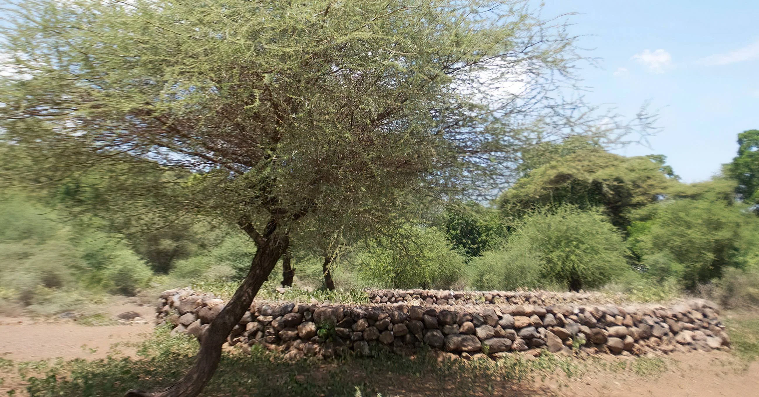
Engaruka Ruins
Discover the remains of an ingenious farming settlement at Engaruka Ruins, at the foot of the Great Rift Valley escarpment in Monduli District, Arusha Region. This important archaeological landscape preserves stone-built water channels, cultivation terraces and settlement remains that reveal how earlier communities managed water and farmed in a challenging environment. Engaruka is generally associated with an Iron Age farming community active between about the 15th and 18th centuries. Archaeological research describes a network of seven settlements and an extensive irrigated agricultural landscape. The identity of its builders and the reasons for its eventual abandonment remain subjects of investigation. Explore the site on foot with a knowledgeable local guide to understand its agricultural engineering, stonework and wider historical setting. Rift Valley scenery adds to the experience, while community-led cultural visits can be arranged separately. Engaruka makes a rewarding heritage stop on the journey from Mto wa Mbu towards Ol Doinyo Lengai and Lake Natron.
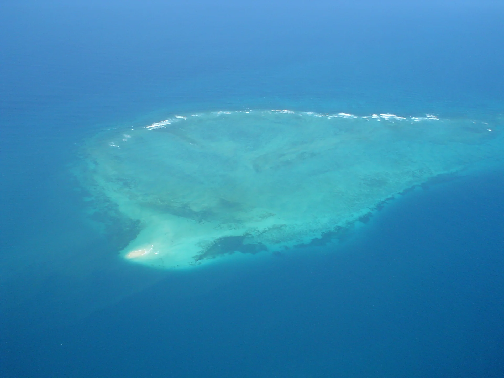
Fungu Yasin Sand Bar
Fungu Yasin Sand Bar, also encountered as Fungu Yasini, is a tide-dependent sandbank and marine reserve off northern Dar es Salaam, beyond Mbudya. It belongs to the Dar es Salaam Marine Reserves system. The sandbank is exposed at low tide and has no vegetation, giving a visit an open-water setting shaped by the surrounding reef and the changing level of the sea. The tide is central to the experience. A photograph of exposed sand does not mean the same surface will be available at your chosen arrival time. The organiser should check the tide for the actual date, allow for sea conditions and confirm whether a shore visit is appropriate. Time ashore, if permitted and suitable, must fit the skipper’s plan for the changing water level and return journey. Do not build the day around an assumed all-day beach stay. The reserve includes sandy and rocky intertidal areas, seagrass and coral habitats. These surroundings make it interesting for a guided marine excursion, a brief sandbank stop where possible and photography from an appropriate vessel position. What you see depends on tide, weather and visibility. A conservation-minded guide can help explain the relationship between the reef, the exposed bank and the surrounding marine life without needing to disturb the habitat. Intertidal organisms and reef fish add interest, while birds or animals in the wider reserve waters may be encountered. Sightings are uncertain and should not become a reason to chase wildlife or remove it for a photograph. Leave shells, starfish and other natural materials in place. Move only where the guide advises, avoiding coral and sensitive seagrass, and keep clear of any protected or unsuitable areas. Swimming or snorkelling should be a specifically arranged part of the programme. Ask which site is proposed, what equipment and support are supplied, and how entry and reboarding will work. Suitability depends on the current, waves, tide, visibility and the participant’s ability. An attractive water colour does not establish appropriate conditions. Accept a boat-based or mainland alternative if the skipper or guide changes the plan. One flexible excursion outline is to meet at the confirmed mainland departure point, review the tide-based programme and complete the required entry arrangements. Cross with the operator to the agreed area, receive a briefing and observe the reserve from the boat. Step onto the sandbank only when the crew confirms that the landing and time window are suitable and permitted. Include an arranged water activity if conditions allow, then leave as directed and return to the mainland or an expressly included additional stop. This is a planning outline rather than a fixed ferry timetable. The exposed bank should be planned as a simple outdoor stop. Do not assume natural shade, toilets, a restaurant, freshwater supplies or accommodation. Confirm shade and seating on the vessel, meals or refreshments, drinking water and toilet arrangements before booking. If a picnic is included, ask how it fits the tide window and how waste will be carried out. Any facilities at another destination are separate arrangements. Bring sun protection, a hat, drinking water, a towel, practical clothing and a waterproof bag for essentials. Check appropriate footwear with the guide and any snorkelling equipment before departure. Keep baggage manageable, secure loose items and have suitable lifejackets for everyone aboard. Families should discuss children’s sizes and supervision, while travellers with mobility needs should ask about the actual boat, boarding method and any proposed landing. A well-planned visit gives the crew flexibility. Agree cancellation, rescheduling and refund terms if weather or tide conditions prevent the advertised programme. Confirm current reserve access and obtain a quotation that separates return boat travel, guiding, entry charges, road transfers, equipment, food and additional stops. Overnight stays, commercial filming, drone use, diving, fishing or research require separate advice about the exact proposal and applicable approvals. Dar es Salaam is the practical accommodation and transport base. Allow for traffic to the agreed departure point and keep an onward-travel buffer after the boat return. A stop at Mbudya, Bongoyo or another destination can be considered when explicitly arranged, but it should not be assumed from a single-island ticket. The value of the outing lies in enjoying the marine setting at an appropriate time while leaving the reserve undisturbed.
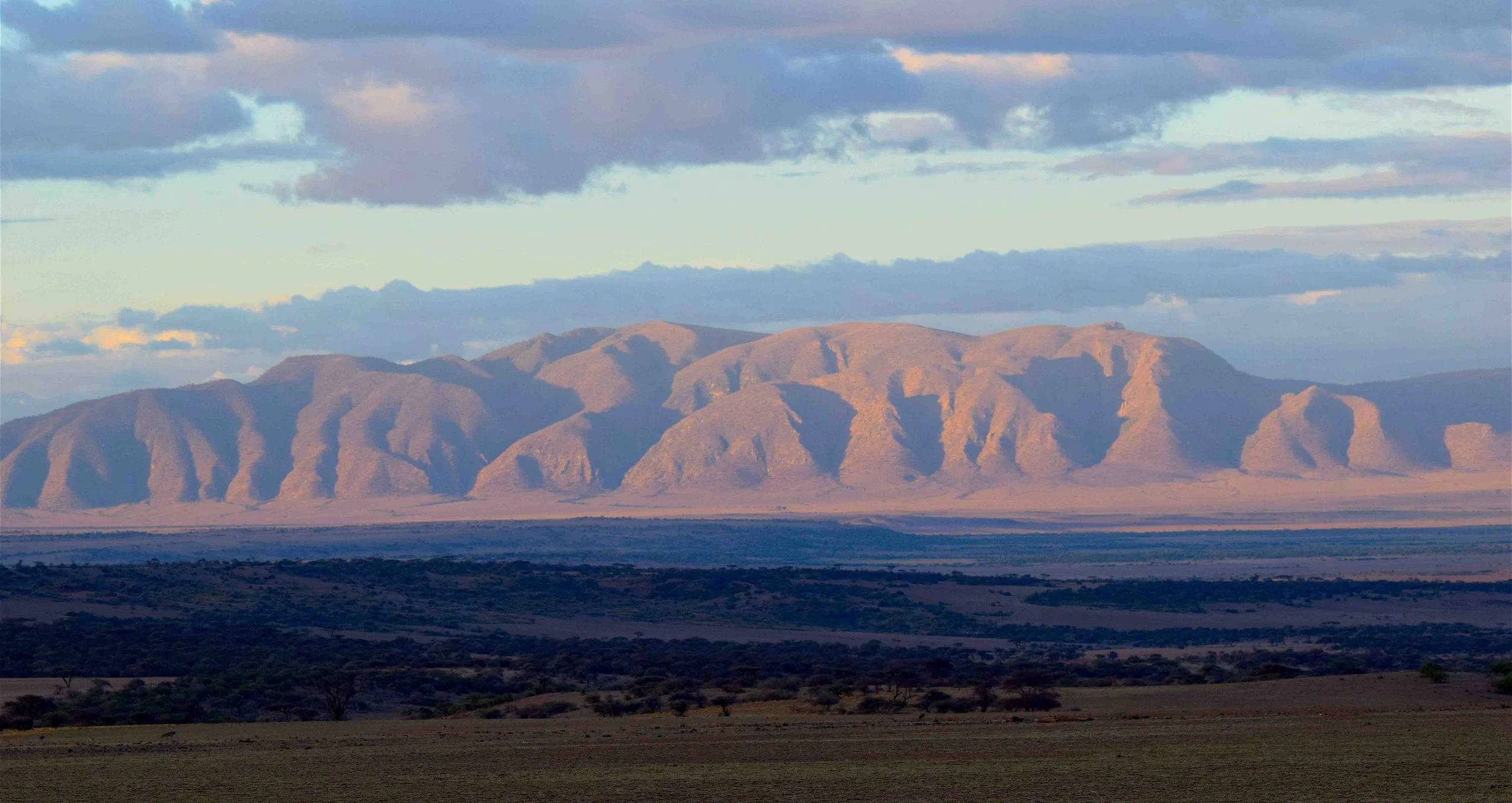
Gol Mountains
Discover the Gol Mountains The Gol Mountains rise from the open plains at the northern end of Tanzania’s Ngorongoro Conservation Area, close to the Serengeti boundary. Rugged rock, wide horizons and rain-dependent grasslands give this landscape a distinctive character. A thoughtfully planned visit can combine scenic driving, an approved guided walk, geological interpretation and seasonal wildlife observation. It suits travellers who want time to explore the wider conservation area beyond the famous Ngorongoro Crater. Gol is a mountain range and surrounding landscape, rather than a single summit with one standard climbing route. Its attractions are spread across rocky hills, plains and nearby geosites, so the experience should be shaped around your interests, fitness, available time and current access conditions. The area belongs within the Ngorongoro travel context; visiting Gol should not be confused with entering a separate national park or booking a crater-floor game drive. Ancient rocks and a landscape shaped by faulting The Ngorongoro Conservation Area Authority describes Gol as a fault-bounded mountain range with highly fractured metamorphic quartzite. The official geopark interpretation places these hills within a much older basement-rock landscape, exposed through a long history of geological movement and erosion. These ancient rocks contrast with the younger volcanic features that make the Ngorongoro highlands so recognisable. This difference is one of the most rewarding themes to explore with a knowledgeable guide. Look at the shape of the range, the broken rock surfaces and the relationship between raised terrain and the surrounding plains. A geological visit becomes richer when the guide connects these visible features with the wider region’s history. Leave rock samples where they belong, and avoid climbing unstable outcrops or assuming that every rock face is open to recreational scrambling. Plains, woodland and seasonal wildlife The landscape includes ancient rocky hills with sparse Acacia–Commiphora woodland and open short-grass plains around the range. Vegetation changes noticeably with rainfall. When grasslands receive sufficient moisture, fresh pasture can draw migratory wildebeest, zebra and gazelles into the surrounding plains. During drier conditions, the same area can look much browner and more open, changing both the scenery and the wildlife opportunities. A Gol visit can therefore complement a broader safari, but the presence of large herds should never be treated as a fixed-date attraction. Migration movements follow changing grazing and water conditions across the wider ecosystem. Ask your guide about recent observations, and allow the day’s route to respond to actual animal distribution rather than a rigid calendar. The mountain setting, geological features and open vistas remain worthwhile even when the main herds are elsewhere. Game drives and photography NCAA lists the Gol Mountains among the conservation area’s game-drive destinations. A guided drive offers a practical way to appreciate the landscape, observe available wildlife and reach the starting point for an approved walk or geosite visit. Arrange an experienced driver who knows the route and conservation regulations, with a vehicle appropriate to current track conditions. For photographers, the relationship between plains, rocky terrain and changing light can be as interesting as close wildlife portraits. Leave room in the itinerary for patient observation and flexible stops where these are permitted. Carry a lens-cleaning cloth and protect equipment from dust or rain. Follow the driver’s instructions, keep a respectful distance from animals and avoid asking for an unsafe or unauthorised position to obtain a photograph. Walking with the right arrangements NCAA identifies Gol Mountains as a walking destination and requires all walking activities in the Ngorongoro Conservation Area to be accompanied by an armed ranger, booked and arranged beforehand. Plan the walk through your organiser and the authority, with an approved route, starting point and suitable level of support. Local interpretation can add depth to the outing, but does not replace the required ranger arrangement. There is no single walking distance or duration that describes every Gol visit. A shorter landscape walk and a longer excursion through uneven terrain require different levels of fitness, preparation and time. Discuss the complete route, including the return, before setting out. Choose an itinerary suited to the least experienced person in the group, and leave scope to change the plan when heat, rain, wildlife or ground conditions make that necessary. Olkarien Gorge and Nasera Rock The official Ngorongoro–Lengai Geopark North Route leads from Loduare Gate toward Olkarien Gorge at the base of the Gol Mountains. The gorge cuts through quartzite on the eastern side and is associated with nesting Rüppell’s griffon vultures. A separately arranged visit can add an impressive gorge landscape and a birdwatching dimension. Observe from the positions recommended by the ranger and guide, avoiding disturbance to nesting birds. Nasera Rock lies in the southwestern part of the Gol Mountains and provides another geological contrast, with gneiss and granitic pegmatite. These sites can complement a wider journey through the area, alongside other geosites on the official route. Their inclusion depends on permissions, road and walking conditions, starting location and available time. Do not assume that the range, gorge, rock and every other attraction can all be covered comfortably in a single day. Choosing a season Northern Tanzania generally has long rains around March–May and short rains around October–December, with substantial variation between years. June–October is broadly the drier planning window and can be useful for walks and road travel. Wetter periods may bring greener plains and attractive wildlife conditions, while access can become more demanding where tracks are muddy or drainage channels carry water. Choose timing according to your main objective, then check conditions close to departure. Wildlife-focused visitors may value rain-supported grazing, while walkers may prefer firmer ground. Carry both sun protection and a rain layer, and allow the guide to adjust the route. Seasonal advice is a planning aid, not a guarantee of clear skies, passable tracks or a particular animal sighting. Getting there and arranging a stay A visit is usually planned as an overland part of a northern Tanzania safari, using the permitted route through Ngorongoro. Travellers arriving through Kilimanjaro International Airport or Arusha Airport need an onward transfer. Arusha and the Karatu–Ngorongoro corridor can be part of the approach, but the exact journey depends on the chosen accommodation, access route and other destinations in the itinerary. Select accommodation according to the route and the time needed on the ground. Confirm how far the agreed starting point is from your overnight base, what meals and drinking water are provided, and whether early departure and return transport are included. Camping or extended walking arrangements need separate confirmation; do not assume unrestricted camping, a staffed mountain hut or facilities along the route. Obtain current transfer estimates rather than relying on a universal driving time. Respecting the landscape and its communities Ask permission before photographing people, and arrange any community encounter with willing hosts and local guidance. Follow conservation-area rules, stay with the ranger on walks, carry out litter and leave geological or archaeological material undisturbed. Keep noise low near wildlife and avoid approaching nests or feeding animals. Before travelling, confirm entry requirements and current charges, the approved route, driver and vehicle, ranger booking, walking difficulty, weather and track assessment, food and water, accommodation and emergency arrangements. TanzaLux can help build a Gol Mountains visit around your interests, with the logistics checked before the itinerary is confirmed.
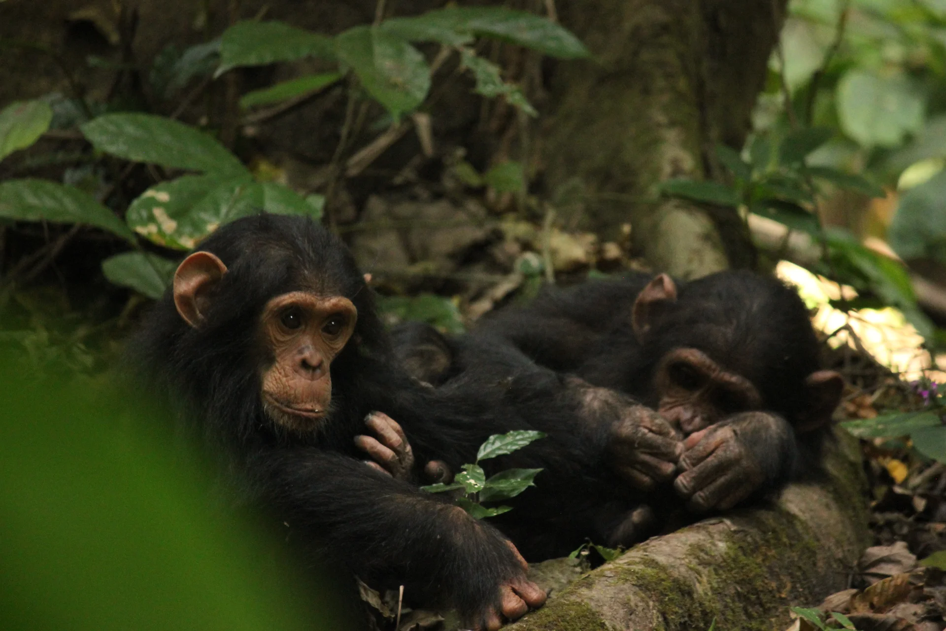
Gombe Stream National Park
Gombe Stream National Park, also known as Gombe National Park, combines wild chimpanzee trekking with forested hills and the shores of Lake Tanganyika. In Kigoma Region in western Tanzania, north of Kigoma town, the park offers a distinctive safari experience shaped by walking, lake travel and close observation of forest life. Gombe is internationally associated with the chimpanzee research begun by Jane Goodall in 1960. Ranger-led forest treks give visitors an opportunity to observe chimpanzees in their natural habitat while respecting their movements and the park’s conservation rules. Sightings are not guaranteed: locating the animals can involve variable search times, steep slopes and humid conditions. Discuss fitness, mobility and current age requirements before booking. The forest supports other primates, including olive baboons, colobus and several monkey species, along with diverse birdlife and butterflies. Guided walks can also explore scenery such as Kakombe Waterfall and Jane’s Peak when routes and conditions are suitable. The pebbled lakeshore and boat approach provide a different perspective on the park, with time to enjoy Lake Tanganyika between planned activities. Any swimming or snorkelling should follow current ranger guidance and use permitted places. Chimpanzee viewing is carefully managed. Follow your ranger, keep the required distance, wear the required mask during encounters, avoid flash photography and never feed or touch wildlife. Do not join a trek with an infectious illness. Confirm the current TANAPA viewing, health, age and group requirements with your operator before travel. Access is by arranged boat from Kigoma, so coordinate flights, accommodation, park entry, guiding and transfers in advance. A stay of two nights gives more room for trekking and scenery than a rushed visit. Keep the itinerary flexible around chimpanzee movements, trail conditions and the lake crossing. Bring sturdy footwear, light layers, rain protection, water, sun protection and a waterproof bag for boat transfers.
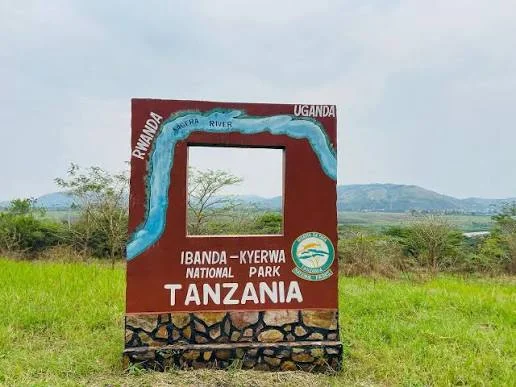
Ibanda-Kyerwa National Park
Ibanda-Kyerwa National Park protects a scenic corner of northwestern Tanzania, where the Kagera River meets a landscape of savanna, wooded slopes, valleys and wetlands. Situated in Kyerwa District in Kagera Region, the park lies beside Rwanda and Uganda and became a national park in 2019 after its earlier protection as a game reserve. Its setting makes it an interesting choice for travellers building a western Tanzania itinerary or exploring the wider Great Lakes region. The river is central to the experience. Along parts of the boundary it separates Tanzania from Rwanda and Uganda, with Rwanda’s Akagera National Park across a section of the river. Inland, rolling hills give way to plains and a basin crossed by seasonal streams, scattered lakes and swamps. Acacia savanna and riverbank vegetation create contrasting views during a drive. Allowing time for the scenery, birds and smaller details brings more to a visit than moving quickly from one wildlife stop to another. Buffalo and antelope are important wildlife attractions. Roan antelope, topi, eland, impala, waterbuck, reedbuck and bushbuck are among the species described in TANAPA’s guide. Leopards and hyenas are recorded predators, while hippos and crocodiles inhabit the river and wetland environments. Each outing depends on animal movement, vegetation, weather and the guide’s knowledge. A patient itinerary, with repeated drives through suitable habitats, gives time to appreciate the park without depending on a particular sighting. Game drives form the core of a safari here. Guided walks can add a closer look at tracks, plants and the landscape when arranged with park authorities. Birdwatching is another strong reason to slow down: TANAPA’s guide reports more than 200 recorded species, with examples including African fish eagle, augur buzzard, Egyptian goose and cinnamon-chested bee-eater. Bring binoculars and leave room for quiet observation. Designated picnic stops and river viewpoints can provide a pleasant break, while photography changes with the light and the season. For planning, June to early October generally offers the main dry-season window. January and February can also provide a drier interval, though actual rainfall varies. Rainfall is associated with the later part of the year and March to May; recent showers can affect road conditions and the routes available. Choose dates around the experiences that matter most, and ask the operator to reconfirm access and any guided activities before departure. We suggest two nights as a useful starting point, with additional time for birding, walks or a combination with Rumanyika-Karagwe National Park. Camping can be arranged through the park, and Murongo is the nearest practical town for simple accommodation. Confirm the exact campsite or property, meals, equipment and facilities when booking. Travellers who prefer more comfort should agree on their accommodation standard before the route is finalised. Bukoba and Chato are potential air gateways followed by a road transfer, while charter access requires specific advance arrangements. Murongo is a useful reference point for the final approach. Distances alone do not provide a reliable travel time, so plan transfers around the chosen route, road conditions and current park hours. Ibanda-Kyerwa rewards travellers who bring curiosity, binoculars and enough time to explore at an unhurried pace.
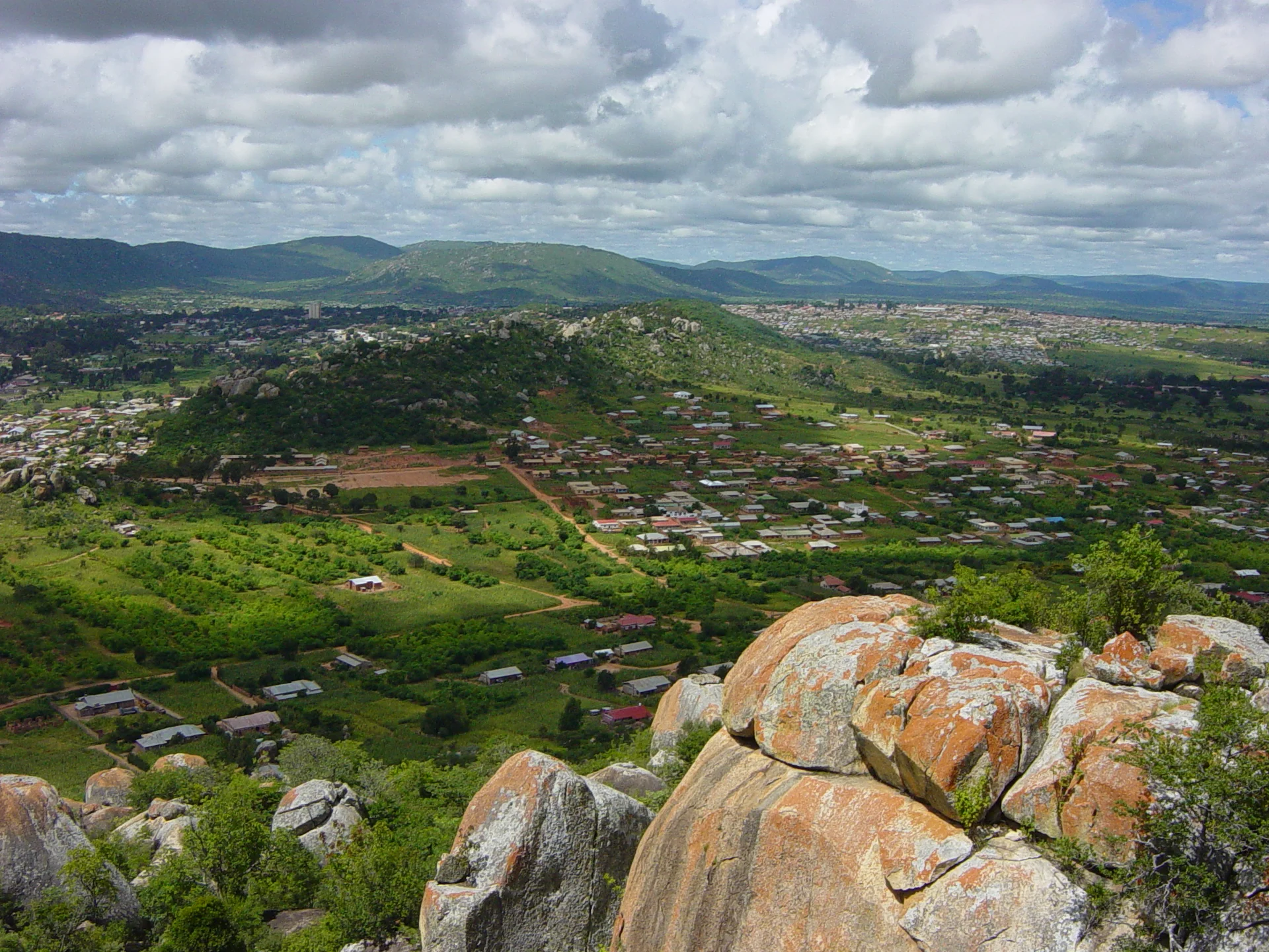
Igeleke Rock Art Site
Igeleke Rock Art Site — A Cultural Journey near Iringa Igeleke Rock Art Site brings Tanzania’s human past into view through paintings preserved on a natural rock shelter near Iringa. This is a destination for travellers who enjoy looking closely: following a painted outline across weathered stone, noticing how one image overlaps another, and listening to the people who care for the place. A guided visit adds an engaging cultural experience to an itinerary through the Southern Highlands and gives an Iringa stop a purpose beyond an overnight transfer. The attraction is the relationship between art, landscape and community. The paintings remain in their original setting, where the rock surface forms part of the experience. Their small details reward patient observation. Families, students, photographers and travellers interested in archaeology can approach the same panel with different questions and still find plenty to discuss. Come ready to walk, learn and give the shelter time. Location and Regional Setting Igeleke is in Iringa Municipality, in Iringa Region, within Tanzania’s Southern Highlands. Research also refers to the shelter as Kihessakilolo, with spelling variations in different records. Arrange your visit around Iringa town and confirm the local meeting point before departure. The rock art site should be identified by its full name when organising transport, rather than relying on a place name alone. The surrounding rocky terrain gives the visit an outdoor character. An urban stay in Iringa can provide a convenient base, allowing the excursion to sit alongside a museum visit, a town walk or a longer safari journey. Keep the approach flexible: a local guide can explain the current route, any gates, the condition of the final walking section and where a driver should wait. What to Look for in the Paintings Human and animal figures are central to Igeleke’s appeal. Heritage interpretation identifies giraffe, eland, wildebeest and elephant motifs, alongside forms interpreted as candelabra trees. Look first at the overall arrangement, then at individual outlines and the spaces between them. The experience is richer when a guide explains how the figures have been identified and points out details that are easy to miss at first glance. Red pigments are especially prominent. Scientific documentation also records black and white painting at the shelter, including overlapping images and geometric elements. Differences in colour, placement and style offer useful starting points for discussion. The appearance of the art depends on the rock surface, weathering and available light, so every visitor should allow time for careful viewing rather than expecting all figures to be equally clear. Understanding the Archaeology The shelter is associated with a long sequence of human activity, and researchers have recorded stone artefacts and pottery in its archaeological context. Evidence in the ground and images on a rock face answer different questions. A dated occupation layer does not automatically establish the date of every painting above it. Presenting the whole panel as having one precisely known age would hide the complexity that makes the site interesting. Regional researchers discuss hunter-forager artistic traditions and later painting traditions, using motifs, pigment and superposition to explore cultural sequences. These interpretations are part of an ongoing investigation. Visitors can ask what is visible, what is inferred and what remains uncertain. That distinction makes a guided archaeological visit more informative and encourages appreciation without turning a tentative explanation into a fixed story. Community Heritage and Living Connections Fahari Yetu’s heritage work has supported Igeleke, and the local organisation KIUMAKI is associated with protecting the site and interpreting its paintings. Its documented work connects heritage care with environmental activities, including planting and bee-keeping. Any demonstration or community activity should be arranged specifically; it should not be assumed to accompany every rock art visit. The shelter has also held ritual significance for local communities. Ask your guide how visitors should behave and which stories can be shared. Oral accounts deserve respectful listening, while archaeological interpretations should be explained on their own evidence. Pay the agreed charges through the appropriate local arrangements and request permission before photographing people. Supporting knowledgeable local guiding gives the visit practical value for those connected with the site. The Guided Walking Experience Plan a half-day from Iringa, with enough room for transport, the uphill approach, interpretation and a comfortable return. A museum-organised Igeleke excursion is described as taking about three hours overall, but an individual programme can differ with its starting point, group pace and transport. Confirm the timing before combining it with another booking or a long onward drive. The walk involves hills and uneven outdoor terrain. Wear closed shoes with grip, carry drinking water and take a hat. Tell the organiser about mobility limitations in advance so the actual route can be assessed. Children should stay close to an adult near slopes and boulders. Visitors who would find the walk difficult can consider an Iringa museum session as a separate cultural activity, with its own access arrangements. Photography and Thoughtful Observation For permitted personal photography, start with a view that shows the shelter’s setting, then make closer images from the designated viewing position. Natural light can help reveal surface detail. Ask about flash, tripods, video and any restrictions before using equipment. Commercial filming, research documentation and drone use need their own permission checks and should never be assumed to be covered by an ordinary visit. There are rewarding ways to explore without a camera. Bring a notebook, record the motifs your guide identifies, or make a sketch from a respectful distance. A family can compare the shapes they notice and discuss why different observers interpret an outline differently. Keep bags and equipment away from the painted surface, and allow others room to see. Best Time and Weather Planning The generally drier months, particularly June to September, are a useful first choice for outdoor walking around Iringa. May and October can also work well, depending on that year’s conditions. The wetter season usually extends from around November or December into April, with rain sometimes continuing into May. These are broad planning patterns rather than a promise about any particular day. A wet-season visit may be possible when the approach is safe and the site is open. Ask about recent rainfall, muddy sections and slippery rock before leaving town. In any month, use the current forecast and your guide’s assessment. Take a light layer for cooler highland mornings as well as sun protection for exposed sections. Schedule sufficient daylight for the return. Combining Igeleke with Iringa’s Other Attractions An Iringa Boma Regional Museum visit can help place the rock art in a wider cultural context. A town heritage walk offers another perspective on the communities and history of the area. Both make sensible additions to a cultural stay when separately arranged, with time for a meal and a break between activities. Isimila Stone Age Site and the Mkwawa museum at Kalenga are distinct attractions that can be considered for a longer regional programme. Each has its own access, interpretation and charges. Ruaha National Park adds wildlife viewing to a broader itinerary west of Iringa, requiring its own safari planning. Treat these as separate visits and allow travel time rather than compressing every attraction into a rushed day. Accommodation, Costs and Preparation Choose accommodation in Iringa according to your arrival time, budget and onward route. A town base can make guide meetings and meals easier to coordinate. Confirm any early breakfast, luggage storage, pickup and return arrangements directly with the accommodation or organiser. No accommodation inside the painted shelter is included in a standard sightseeing plan. Before booking, request a clear breakdown of guiding, site admission, transport and optional museum or community activities. Charges and inclusions can change, and different organisers may structure an excursion differently. Ask how payment is made and whether cash is needed. Carry your essentials from town and check drinking water, toilet facilities and meal arrangements instead of expecting a fully serviced visitor complex at the rock. Protecting the Art View the paintings without touching, rubbing, tracing, wetting or chalking them. Avoid leaning against the panel or placing equipment on it. Stay on the route indicated by the guide, leave stones and possible archaeological material where they are, and carry out litter. Use observation and questions to engage with the site; the original surface and its context are what give the art its value. An unhurried visit can become a memorable part of a southern Tanzania journey. TanzaLux can build an Igeleke excursion around your interests, walking comfort and time in Iringa, coordinating local guiding and onward travel once current arrangements are confirmed. The aim is a rewarding encounter with heritage that also respects the people and landscape that sustain it.
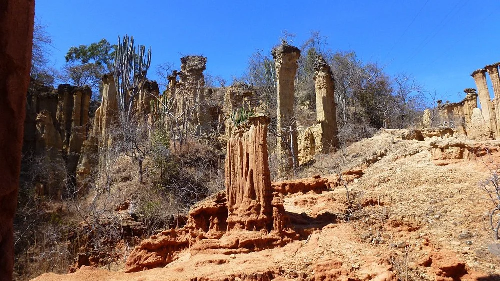
Isimila Stone Age Site
Isimila Stone Age Site — Archaeology and Natural Pillars near Iringa Isimila Stone Age Site brings together two compelling reasons to explore Tanzania’s Southern Highlands: evidence of early human tool-making and a landscape of towering natural pillars. Near Iringa, gullies cut into the ground reveal layers of sediment and a remarkable archaeological record. A guided visit helps connect what you see in the landscape with the people who once worked stone here, turning an attractive walk into an encounter with a much deeper past. This is a rewarding destination for travellers who enjoy history, geology, outdoor photography and learning through exploration. The contrast between the scale of the pillars and the detail of a stone tool is especially memorable. Give yourself time to appreciate both. A comfortable excursion from an Iringa base can introduce a cultural dimension to a southern safari or become the centrepiece of a day devoted to the region’s heritage. Location and Heritage Status Isimila lies in Iringa Region, south of Iringa town, approached from the road towards Mbeya. It is commonly planned as an excursion roughly 20 kilometres from town, with distance varying according to the starting point and route. The setting is a highland plateau rather than a lowland wildlife reserve. Ask your organiser to confirm the site entrance and final approach when arranging transport. The Ministry of Natural Resources and Tourism lists Isimila as an Early Stone Age site with natural pillars, covering 32 hectares and protected under Government Notice 116 of 1958. TANAPA includes it among the cultural heritage sites it manages. These protections reflect its archaeological importance; they do not make it a national park or imply that ordinary wildlife safari activities are available within the site. The Stone Tools and Why They Matter Isimila is celebrated for a dense record of Acheulean stone technology. Handaxes and cleavers are particularly important, alongside flakes, cores and other implements. The tools were shaped by removing pieces of stone, leaving working edges and recognisable forms. With interpretation, an object that first looks like an ordinary rock can reveal decisions about material, shape and manufacture. During a visit, ask how a deliberately worked stone differs from a naturally broken one, what a core tells us about production, and why large cutting tools attract scientific interest. Tool form can suggest possible uses, but an exact task cannot always be proved from shape alone. A guide can explain these distinctions and the role of the material’s original archaeological context. A Changing Understanding of Time Isimila’s archaeological record extends back hundreds of thousands of years. It should not be reduced to one fixed date for every tool or sediment layer. Research revisits the relationship between the deposits, the artefacts and evidence from other dated sites, and estimates have changed as new methods have been applied. A 2023 reassessment proposed a broad age range of around 500,000–900,000 years for the lower Lukingi deposits, based on faunal comparisons and preliminary electron spin resonance estimates. Those estimates concern particular deposits and are not a precise age for every object visitors may see. Other research has investigated luminescence dating and the sources of stone used in tool-making. The most useful visitor explanation connects the evidence with its uncertainties rather than promising a single birthday for the whole site. The Natural Pillars and Canyon Landscape The pillars are natural erosion features. Water and weathering have cut into the sedimentary ground, removing material unevenly and leaving columns, narrow ridges and steep faces. Some towers retain more resistant material above softer sections, producing distinctive shapes. Their colour and texture, combined with changing light and vegetation, make the gorge an engaging place for landscape observation. Notice the layers exposed in the sides of the gullies and how the shape of a pillar changes as you walk around it. The landscape continues to evolve, so the current walking route is more useful than an old map or a fixed promise about which formation will be accessible. The pillars are geological features, separate from the tools made by early people; appreciating that distinction is part of the visit. How a Guided Visit Can Unfold Begin with the site’s archaeological introduction and any interpretation displays open at the time of your visit. This gives meaning to the tools and deposits before the walk. Ask which parts of the archaeological area can currently be viewed and how the pillar route will fit the interests and walking ability of your group. Continue along the approved route into the gorge with the guide, allowing pauses for explanations and photographs. The descent and return ascent are part of the experience, so comfortable pacing matters. Rather than treating the pillars as a quick photo stop, take time to compare their shapes and discuss how erosion both exposes archaeological evidence and creates conservation challenges. Allow around two to three hours at the site as a planning estimate, and a half-day from Iringa when transfers and breaks are included. The actual duration depends on which areas are open, your chosen route and your pace. Confirm the programme before combining it with a long drive or another timed activity. The guide may adapt the walk to local conditions. Walking Conditions and Who Will Enjoy It The gorge walk involves uneven ground, slopes and exposed outdoor sections. It suits visitors comfortable with a moderate walk, while the exact demands depend on the route chosen. Wear closed shoes with a good grip and bring drinking water. A hat and sun protection are useful, and a light layer can make cooler highland mornings more comfortable. Families can make the visit engaging by asking children to compare tool shapes, identify sediment layers and explain how a pillar might have formed. Keep children close to an adult near drops and fragile formations. Tell the organiser about limited mobility, knee problems or other walking concerns beforehand. Access to interpretation areas and access to the gorge should be assessed separately; do not assume the whole site is step-free. Photography and Learning Activities Isimila’s pillars offer opportunities for wide landscape photographs and closer views of layered surfaces. Take images from approved paths and ask the guide where stopping is suitable. Softer morning light can be helpful for photography, but access hours and current conditions determine the visit. Personal photography, video and commercial work may have different requirements, so check before arriving with specialised equipment. A notebook or sketchbook also works well here. Record the questions raised by the tools, draw a sequence of layers or compare silhouettes of several pillars. Teachers and group leaders can plan themes around early technology, environmental change and the preservation of archaeological evidence. Any practical demonstration, research session or specialist presentation should be arranged rather than assumed to be part of admission. Best Time to Visit The generally drier part of the year is a useful first choice for a gorge walk. June to September usually provides a practical core period, and conditions may also be favourable in May and October. These are seasonal planning patterns, not a guarantee of dry weather. Cooler mornings can give way to stronger sun during the walk. Rain is more likely from around November or December into April, sometimes continuing into May. A wet-season visit can still be considered when the site is open and the route is safe. Ask about recent rainfall, muddy ground and any temporary restrictions before departure. Follow the guide’s decision if part of the gorge is unsuitable that day, and keep enough flexibility to reschedule an outdoor excursion. Getting There and Staying in Iringa Iringa is a convenient accommodation and transport base. Arrange a return vehicle, agree pickup and waiting time, and confirm whether guiding and entrance charges are included. For the short transfer from town, allow roughly 30–45 minutes as a provisional planning estimate, subject to your pickup location, traffic and road conditions. The approach must be confirmed locally, particularly after rain. Iringa Airport at Nduli can serve regional arrivals when suitable flights operate; check current services and organise the road transfer separately. Overland travellers can reach Iringa from the Dar es Salaam–Morogoro–Mikumi direction, from Dodoma or through the Southern Highlands. Choose accommodation with your arrival time and onward route in mind, and confirm any early breakfast, luggage storage or packed meal requirements. Building a Wider Cultural Itinerary Iringa Boma Regional Museum can add context to the region’s heritage, while the Mkwawa museum at Kalenga offers a distinct historical experience. Igeleke Rock Art Site provides another form of archaeological expression and requires its own guide and access arrangements. Select combinations according to your interests and available time rather than trying to visit every attraction in one rushed outing. Ruaha National Park can extend the journey into wildlife viewing, with separate park fees, accommodation and safari planning. Isimila adds human history and geological interest to that wider itinerary. It is particularly valuable for travellers who want their southern Tanzania experience to include more than game drives. Fees, Facilities and Responsible Visiting Request the current admission charges for your visitor category and check guiding, vehicle, photography and optional service costs. Confirm how payment is made, the day’s opening arrangements, toilets, drinking water and meal options. Carry essentials from Iringa and plan your breaks instead of relying on an unconfirmed service at the site. Leave stone tools and other possible artefacts where they are, keep to the approved route and avoid climbing or damaging the pillars. Do not dig, collect pieces or move objects to improve a photograph. Their position helps preserve the evidence that researchers and future visitors need. Carry out litter and follow the staff’s instructions around archaeological exposures. TanzaLux can shape an Isimila excursion around your interest in archaeology, photography or family learning, coordinating transport, guiding and onward travel once current arrangements are confirmed. An unhurried visit gives the landscape and its early technology the attention they deserve.
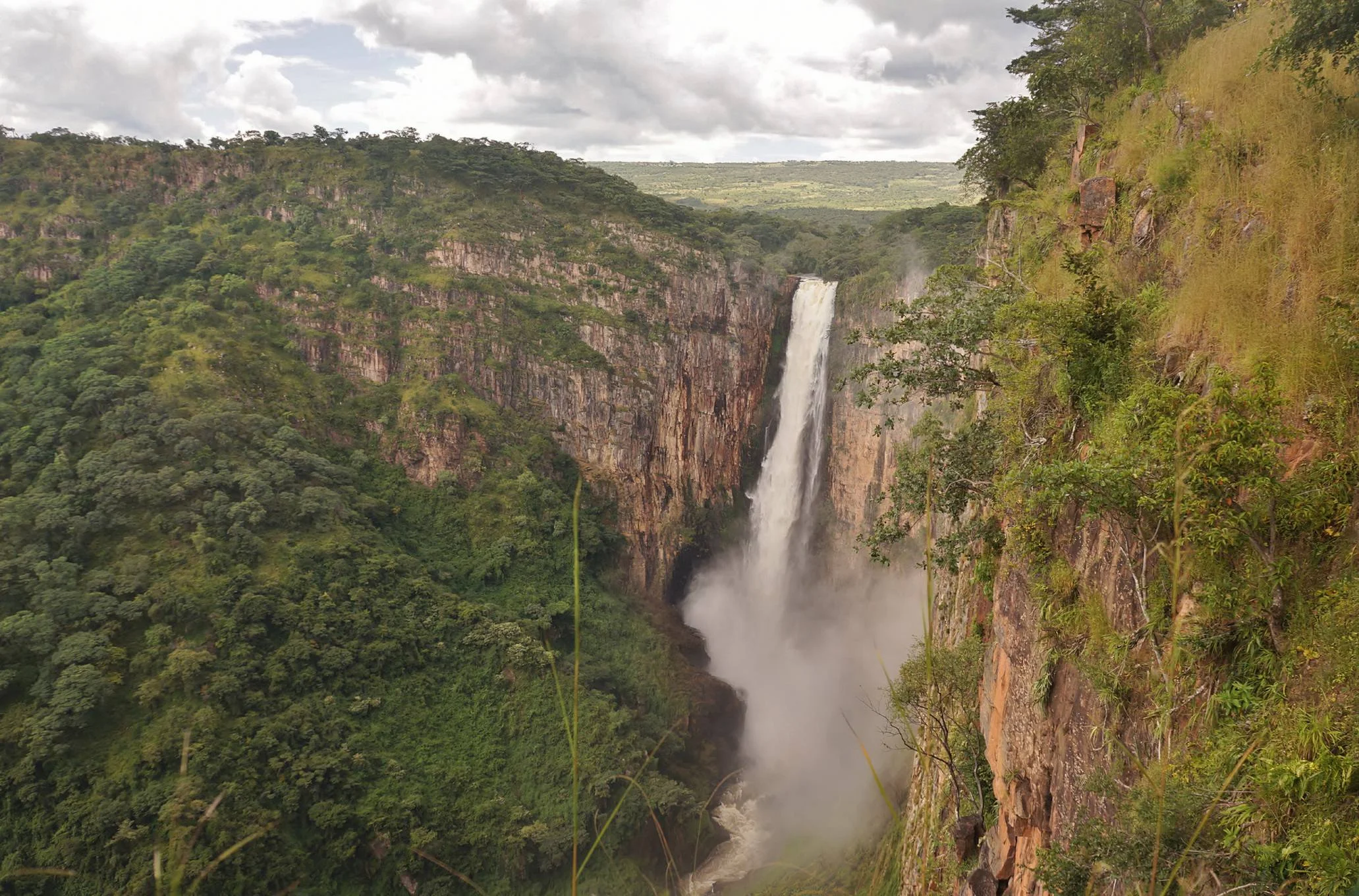
Kalambo Falls
Kalambo Falls: a remarkable journey into Tanzania’s southwest Kalambo Falls rewards travellers who want dramatic scenery, a quieter route and time to explore beyond Tanzania’s familiar safari circuit. The Kalambo River reaches an escarpment on the Tanzania–Zambia border and plunges in a single fall more than 200 metres into a steep gorge. The river continues towards Lake Tanganyika, connecting the waterfall with one of East Africa’s great freshwater landscapes. From an approved viewpoint, the experience combines the sound of falling water, enormous rock walls and the changing colours of the surrounding vegetation. This destination page focuses on a visit from Tanzania. Kalambo Falls lies in Kalambo District, Rukwa Region, within Kalambo Nature Forest Reserve, managed by Tanzania Forest Services. It is a forest-reserve and waterfall experience rather than a national-park game drive. The shared river and border geography matter when planning: accommodation, access routes and permissions on the Tanzanian side do not automatically provide entry to Zambia or its visitor facilities. The waterfall and gorge The waterfall is the principal attraction, but the wider landscape gives the visit its character. Look for the contrast between exposed cliffs, vegetation around the river and greener pockets influenced by moisture and spray. Water volume varies with the season and preceding rainfall. A fuller river can create an especially forceful display, while lower water may reveal more detail in the rock face. Neither condition should be treated as a guaranteed photographic scene. Allow time to stop, listen and observe rather than approaching the visit as a quick roadside photograph. The angle of the light, cloud cover and spray can change the appearance of the falls during a single outing. A guide can help identify approved observation points and explain the local landscape. Stay within the visitor route: a view into the gorge does not mean that a safe descent to its floor is available. Walking, photography and a considered pace Walking and hiking are central to the experience. Confirm the actual route, distance, surface and elevation changes before travel, especially if your group includes young children, older visitors or anyone with limited mobility. Do not assume that a trail described online refers to the Tanzanian side. Take footwear with reliable grip, drinking water, sun protection and a light rain layer. Leave enough daylight for the return walk and the onward road journey. For photography, start with a broad composition that includes the gorge, then look for details in the cliff and falling water from secure ground. Protect cameras from spray and dust, and keep straps attached. Never step beyond a barrier or move towards an exposed edge to improve a picture. A tripod should not obstruct other visitors or encourage standing in an unsafe position. Drone flying requires its own checks and permissions; it is not automatically included in an ordinary visit. Birdlife and the wider reserve Birdwatching can add depth to a waterfall outing, particularly for visitors who enjoy watching cliff and river habitats. Marabou storks have been documented nesting in the gorge in official information about the shared falls. Their visibility depends on the viewpoint, season and conditions. Binoculars help you observe without approaching nests or disturbing birds. Ask a local guide which species are currently being seen rather than expecting a fixed checklist. Tanzania Forest Services also lists elephants and wild pigs in the wider reserve. These records should not be read as a promise of encounters beside the waterfall. The attraction is primarily scenery, walking and nature interpretation. Any wildlife excursion beyond the regular visitor area needs appropriate local advice and arrangements. Maintain distance from animals, keep food packed away and follow staff instructions if wildlife is encountered. An extraordinary archaeological story Kalambo is also important to research into early human technology. A study published in 2023 described deliberately worked wood excavated in 2019 at the archaeological research site on the Zambian side. Two interlocking logs, shaped with a cut notch, came from waterlogged deposits dated to approximately 476,000 years ago. The evidence points to very early structural use of wood; it does not establish a complete house or identify the builders with certainty. This history is a valuable part of understanding the landscape, but access to an excavation or original artefact display must be confirmed separately. Do not plan a Tanzania waterfall visit on the assumption that the research trench is open to tourists. Visitors should leave stones and other objects undisturbed. Kalambo’s significance can be appreciated through a guide’s interpretation even when research areas are unavailable. Choosing the season The region generally has a rainy period from November to April and a drier period from May to October. After substantial rains, the waterfall can be particularly impressive, with stronger flow often reported around May and June. Exact timing varies between years. Wet weather may affect the final approach, walking surfaces and visibility, so a flexible itinerary is useful when travelling during or soon after the rains. Later dry-season travel can make road and walking arrangements easier, although the waterfall may have less water. Choose dates according to the experience you value: forceful flow, comfortable walking or a broader Lake Tanganyika itinerary. Ask for current access and water-condition advice close to departure. Carry water in every season and adjust the walk to your group’s fitness and the day’s heat. Getting there and where to stay For a Tanzanian journey, Sumbawanga is a practical planning base. Road travel can be arranged through the Rukwa region, with routes connecting Sumbawanga, Matai and Kasanga. The existence of a main road to Kasanga does not confirm the condition of the final waterfall approach. Reserve staff or your local organiser should confirm the correct turn-off, vehicle requirements, meeting point and visitor route before you set out. Accommodation options can be considered in Sumbawanga and Kasanga, while camping is listed among the reserve’s activities. Check the current campsite, toilets, drinking-water arrangements and booking process rather than assuming a fully serviced camp. Leave room in your schedule for regional transfers. A visit from Mbala belongs to a separate Zambian itinerary and requires the relevant border and entry arrangements; do not attempt an informal crossing at the river. Building a rewarding itinerary Kalambo Falls works well as the scenic centrepiece of a journey through southwestern Tanzania. A Lake Tanganyika stay can provide a different pace before or after the walking day. If adding lakeshore activities, confirm their location, transport, safety arrangements and availability separately. Likewise, a broader safari extension requires additional travel days and should not be presented as an activity inside Kalambo Nature Forest Reserve. A useful visit plan starts with confirmed access, an early departure appropriate to your accommodation base, unhurried time at the approved viewpoints and a realistic return. Arrange picnicking and camping in permitted areas. Ask before photographing people and choose locally arranged cultural encounters with community consent. Remove all litter, avoid disturbing vegetation and keep noise low around wildlife and other visitors. Plan your Kalambo Falls experience with TanzaLux Tell TanzaLux your travel dates, starting point, interests and walking preferences. A well-prepared itinerary can bring together reserve access, guiding, road transfers, accommodation and a suitable Lake Tanganyika extension. Current availability, fees and route conditions should be confirmed in the trip proposal. The result is a thoughtful visit to a spectacular waterfall, with time to appreciate both its landscape and the remarkable history associated with Kalambo.
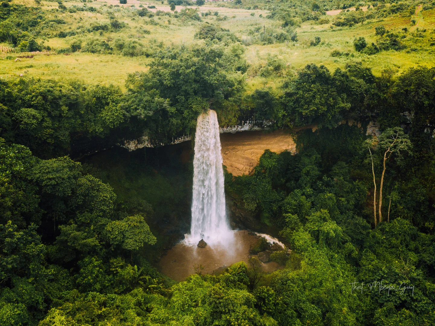
Kaporogwe Falls
Kaporogwe Falls: water, rock and green highland scenery Kaporogwe Falls is a rewarding natural landmark for travellers exploring the countryside around Tukuyu in Tanzania’s Southern Highlands. Water drops over a projecting rock ledge into a lower pool, with vegetation framing the scene and a large sheltered recess beneath the overhang. The combination of moving water, exposed rock and green surroundings gives the falls a distinctive character. It is a place to slow down, enjoy a guided walk and appreciate a different side of the Mbeya region. The falls are also written as Kapologwe, and Kala Falls is an older name associated with the site. Rungwe District Council identifies the destination in Isuba village, Kisondela Ward, Rungwe District, Mbeya Region. Use these local place names when confirming your route, because spellings and transfer estimates vary between descriptions. Tukuyu is a useful planning base, while Mbeya can suit a longer regional itinerary. The waterfall and its remarkable overhang The main attraction is the contrast between the falling water and the ledge from which it drops. A wide cave-like recess beneath the rock creates an unusual setting behind the waterfall. District visitor information describes views from different positions around the falls, including the rear of the water curtain. Which positions are currently accessible depends on permission, trail condition and river flow, so agree the actual visitor route with a knowledgeable local guide. Enjoying the overhang does not require making a close approach in every season. From a permitted viewpoint, you can observe the shape of the ledge, the movement of the water and the vegetation around the pool. Spray, slippery rock and exposed edges need care. If the route behind the water is unavailable, a visit can still offer memorable views and photography from other approved positions. A landscape shaped by water and rock The falls belong to the wider Kiwira river system. Tourism descriptions identify the stream as the Kala River, a tributary of the Kiwira. Geological field research at Kaparogwe documents sandstone and siltstone layers between basalt flows, giving the exposed rock a deeper scientific interest. A guide’s interpretation can help you look more closely at the landscape without collecting samples or stepping into restricted areas. Avoid treating a published waterfall height as a precise survey result: reported figures differ. The attraction is the experience of the water and its setting rather than a size ranking. River flow also changes with rainfall. Fuller flow may produce more force and spray, while lower flow can reveal more of the ledge and rock surface. Neither condition should be promised for a particular travel date. What a guided visit can include Begin with an orientation to the site and a discussion of the viewpoints available that day. Walk at a pace that allows you to notice the surrounding vegetation and understand the route. Once at an appropriate viewing area, take time to listen to the water, study the overhang and photograph the scene. Any descent, pool-side approach or walk into the sheltered recess should be explicitly included in the agreed route and assessed locally. Arrange guiding before departure, especially if you are unfamiliar with the area. Ask about the walk’s distance, slopes, steps, surface and return time. Do not assume that a photograph of an older visit shows the current trail or visitor facilities. A useful plan includes road transfers, site access, enough time for questions and photographs, and a clear return arrangement to your accommodation. Photography at the falls Kaporogwe offers several ways to tell the story of the landscape. A wider photograph can show the ledge and surrounding greenery, while a closer view can emphasise the texture of the falling water or rock. Work from secure, permitted ground and avoid leaning over edges for a better angle. Keep camera straps attached and protect equipment from spray, rain and dust during the journey. Different viewpoints can produce very different photographs, but no image is worth taking an unsafe route. Do not climb on unstable rock, cross the river or approach the lip of the waterfall independently. A tripod should not obstruct the path. Ask before photographing people, and confirm any separate permission needed for drones or organised commercial filming. Ordinary admission should not be assumed to cover those activities. Nature, birds and the surrounding countryside Birdwatching and nature observation can add interest to a walking visit. The district’s visitor description includes birdwatching, but a reliable waterfall-specific species checklist is not established here. Bring binoculars if you enjoy observing birds and ask your guide what is currently being seen. Encounters are incidental and should be enjoyed without feeding animals, disturbing nests or using recorded calls to attract them. The wider Rungwe landscape is known for its fertile countryside and agricultural character. A journey to the falls can offer a different pace from a safari circuit, with time to appreciate the region’s everyday life as well as its scenery. If you want a village, farm or cultural visit, arrange it separately with the hosts’ consent. Do not enter fields or private land simply because they lie near the road or waterfall. Choosing the season Regional government guidance describes rains generally from October to May and colder, drier conditions from June to September. The drier core can be convenient for walking and rural road travel, although wet rock and slippery ground may remain close to the falls. Highland weather can change, so check the forecast and current route information rather than relying on a calendar alone. Rainy-season travel can offer green surroundings and stronger water flow, but heavy rain can affect the approach and reduce the choice of safe viewpoints. Keep the programme flexible and follow a guide’s recommendation to shorten or postpone an outing if conditions require it. May and October can be considered transition months, with the actual start and end of rainfall varying each year. Getting there and where to stay Plan the final road approach through the Tukuyu area to Isuba village in Kisondela Ward. Your organiser should confirm the correct meeting point, turn-off, vehicle requirements and current road condition. Distances and timings in general travel listings vary and may refer to different starting points. Ask for an estimate from your actual accommodation, including time for the local approach and return journey. For a longer trip, Mbeya is a regional gateway and Songwe Airport can form part of the arrival plan, subject to current flights and onward road arrangements. Regional bus or rail travel also needs date-specific checks. Consider accommodation in Tukuyu or Mbeya according to your route. Do not assume lodging, a restaurant or a serviced campsite is available at the waterfall itself. What to bring and who the visit suits Bring footwear with dependable grip, drinking water, sun protection and a light rain layer. A warmer layer may be useful during cooler highland weather. Keep essentials in a small daypack and protect electronics from moisture. Confirm toilets, refreshments, parking and other facilities before setting out, especially when travelling with children or a group. Families should request a route suited to their children’s age and stamina, with close supervision near water and cliff edges. Visitors with limited mobility need specific information about surfaces, gradients, steps and assistance. A waterfall outing should not be advertised as automatically wheelchair accessible. Share your preferences before booking so the available viewpoints and walking plan can be assessed honestly. Local stories and responsible visiting Storytelling features in the district’s description of the attraction and can be a meaningful part of local interpretation. Listen respectfully and distinguish community accounts from established historical or scientific evidence. Ask permission before photographing people or entering any culturally significant place. The landscape deserves care: stay on agreed paths, carry litter out and leave plants, rocks and natural objects undisturbed. Do not plan swimming, cliff jumping, diving or independent climbing as part of this visit. The pool’s appearance does not establish its depth, currents or suitability for bathing. Enjoy the water from locally approved viewing positions and follow the day’s guidance. Leave enough daylight for the walk out and rural road transfer back. A broader Southern Highlands itinerary Kaporogwe can add a scenic walking stop to a stay around Tukuyu. Depending on your interests, separately arranged visits might include the Kiwira river landscape, Lake Ngozi, Mount Rungwe or a longer journey towards Lake Nyasa. These attractions need their own access arrangements and travel time. Build a balanced programme that gives the waterfall a clear place in the day rather than rushing between distant stops. Tell TanzaLux your dates, starting point, group size and preferred level of walking. Your proposal can bring together locally confirmed access, guiding, transfers and regional accommodation. Ask it to state current fees, available viewpoints and included services. With a thoughtful plan, Kaporogwe Falls becomes an enjoyable encounter with the Southern Highlands’ water, geology and countryside. .
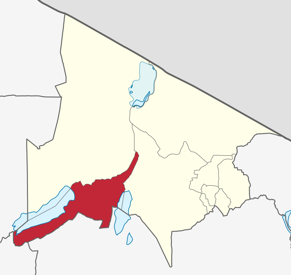
Karatu, Tanzania
Karatu Tanzania is a scenic highland destination in northern Tanzania and an important gateway to the Ngorongoro Conservation Area, Lake Manyara National Park and Lake Eyasi. Set among fertile volcanic highlands at approximately 1,500 metres above sea level, Karatu is known for its green agricultural landscapes, coffee farms, welcoming communities and convenient location along Tanzania's Northern Safari Circuit. For safari travelers, Karatu is much more than a place to spend the night. Its location allows visitors to combine a Ngorongoro safari with coffee experiences, village walks, highland nature, local markets and cultural encounters. The area is strongly associated with Iraqw culture and agriculture, while excursions toward Lake Eyasi can introduce travelers to Hadzabe and Datoga communities through appropriately arranged cultural experiences. Karatu also provides access to forest trails, waterfalls, coffee plantations, local farms and scenic highland landscapes. Travelers can experience the quieter side of northern Tanzania before or after visiting the major wildlife destinations. The town is particularly valuable for private Tanzania safari itineraries because it can connect several experiences in one journey: Lake Manyara wildlife, Ngorongoro Crater, coffee estates, highland culture and Lake Eyasi. With TanzaLux Safaris, Karatu can be included as a private cultural and highland experience or as a comfortable base within a wider Northern Tanzania luxury safari.
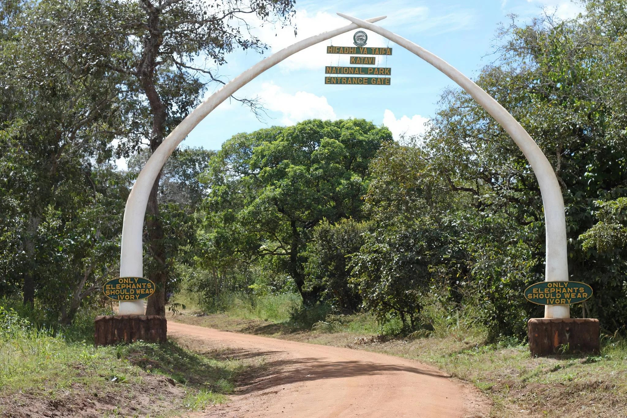
Katavi National Park
Discover Katavi National Park Katavi National Park offers a rewarding safari in western Tanzania, where seasonal floodplains, woodlands and river systems shape the movement of wildlife. Located in Katavi Region and managed by Tanzania National Parks, the park covers around 4,471 square kilometres. Its remote setting gives travellers room to spend time observing animals and appreciating the landscape, with an itinerary planned around the conditions on the ground. The park is especially known for buffalo, elephants, hippos, crocodiles and the wildlife concentrations that develop as water recedes during the dry season. A successful visit combines realistic seasonal expectations with well-organised transport, accommodation and guiding. Katavi suits travellers who want several unhurried safari days and are comfortable with the extra planning required for a remote destination. Water, floodplains and woodland The Katuma River and the seasonal wetland systems of Lake Katavi and Lake Chada are central to the park’s character. Water levels change through the year, transforming the scenery and influencing where animals can feed and drink. These are dynamic seasonal landscapes rather than lakes that always look the same or remain full throughout the year. Katisunga is an important floodplain grassland, with grazing that supports animals as conditions become drier. Around the open plains are miombo woodland, riverine forest, marshes and palm-dotted areas. Exploring more than one habitat helps reveal the park’s variety: a day focused only on an open plain can miss the different character of woodland and riverside environments. The guide can choose an appropriate route using recent observations, permitted access and available time. Dry-season wildlife viewing June–October is the main dry-season planning window for Katavi’s game viewing. As water becomes more limited, animals gather around remaining pools, river sections and productive grazing. Hippos can become concentrated in shrinking pools, and crocodiles are closely associated with the waterways. Large buffalo herds and elephant groups are among the park’s most memorable safari interests. The late dry season can bring particularly concentrated wildlife scenes, but it also brings heat, dust and changing water conditions. Animal numbers, exact locations and behaviour vary. Build the safari around several opportunities to explore, rather than expecting one specific pool, herd size or dramatic encounter to be available on demand. Patient observation with a knowledgeable guide adds more value than a rigid list of promised sightings. Predators, plains game and woodland species Katavi’s documented wildlife includes zebra, giraffe, impala, topi, hartebeest and waterbuck, with roan and sable antelope associated with woodland habitats. Lion, leopard and spotted hyena occur in the park, while wild dogs are occasional visitors. Their presence makes the park interesting for wildlife enthusiasts, but elusive or less frequently seen species should remain possibilities rather than booking guarantees. Ask the guide to interpret the animals you actually encounter: feeding, resting, social interactions and movements between habitats can all be rewarding to watch. Keep a respectful distance and follow the guide’s positioning instructions. Around hippos and crocodiles, view from the locations selected by the safari team rather than approaching the water’s edge independently. Birdwatching through the seasons Official publications record more than 400 bird species, reflecting the mixture of wetlands and woodland. Birds of interest include African fish eagle, saddle-billed stork, bateleur, rollers and paradise flycatchers, with herons, pelicans and other waterbirds using the seasonal wetlands. Birdwatching can add depth to every game drive, especially when the itinerary allows time to observe quietly. The greener months can be attractive for wetland scenery and birdlife, while the drier months offer a different mix of habitats and viewing opportunities. Bring binoculars and ask for a guide with local bird knowledge if birds are a priority. Species seen on a particular visit depend on season, habitat and conditions; a park list should not be treated as a checklist that can be completed in one day. Game drives, walks and specialist outings Guided game drives are the core of most Katavi visits. Early and later outings can be balanced with rest, photography and time to enjoy the camp setting, subject to park rules and the agreed programme. Use a suitable safari vehicle and an experienced driver, with the route adapted to track conditions and recent wildlife observations. Walking safaris require authorised rangers and advance arrangements with the park. Sitalike walking options and longer Chorangwa outings are among the possibilities described in official information. Walks offer a chance to focus on tracks, vegetation and the smaller details of the bush. Confirm the actual route, difficulty, complete duration, equipment and return plan before setting out, especially for longer excursions or waterfall visits. An authorised night drive may also be possible under specific park arrangements. Ask whether it can be provided for your dates and accommodation, and what permission and guiding are included. Night driving is a regulated activity rather than unrestricted access after dark. Optional activities should be confirmed before they become part of a quoted itinerary. The wet-season landscape November–May is broadly Katavi’s wet season. Floodplains become greener, wetlands expand and wildlife can disperse across a wider area. This changes the safari experience: attractive scenery and birdwatching may come with more challenging routes and less concentrated mammal viewing. Some tracks can become muddy or flooded, and accommodation or flight operations may have seasonal availability. A wet-season visit should be based on current local advice and confirmed services. Leave room for routes to change, and discuss what can realistically be explored from the selected camp. The exact timing of the rains varies, so the transition into or out of a season should be checked shortly before travel. Getting to a remote safari destination Air access can involve Mpanda Airport followed by a road transfer, or a suitably arranged flight to Ikuu airstrip inside the park. The best choice depends on your starting point, accommodation, flight availability and the transfer arrangements offered. Confirm the operating dates, connection plan, baggage allowance and final pickup before booking; published examples of flight days should not be assumed to be a current schedule. Road approaches can be planned through Mbeya, Kigoma or Tabora, depending on the wider journey. Distances are substantial and conditions can vary along the final approach. Use an experienced driver and obtain a current travel estimate with realistic stops and overnight arrangements. Sitalike and Ikuu are useful access areas to discuss with the park and accommodation team. A remote safari needs a complete transport plan, including the return journey. Accommodation and safari preparation Katavi offers private tented camps and park accommodation or designated camping options, subject to current availability. Choose an overnight base around the routes and wildlife areas you want to explore. Ask what guiding, game drives, meals, drinking water, transfers and optional activities are included, and confirm the camp’s operating season before committing to the itinerary. Camping must use authorised sites. Special sites and mobile-camp arrangements require advance booking or approval, with equipment, sanitation and supplies clearly organised. For any stay, carry sun protection, comfortable clothing, appropriate walking shoes, insect protection and a way to protect cameras from dust or rain. Ask your organiser about electricity, charging, communications and practical facilities at the selected accommodation. Conservation and cultural interest Protecting floodplain water sources, habitats and wildlife movement is central to Katavi’s conservation value. Follow designated tracks and ranger instructions, keep noise low around animals and carry out litter. Give wildlife space and avoid behaviour that changes an animal’s movement simply to improve a photograph. The name Katavi is associated with local tradition concerning Katabi, and a tamarind tree near Lake Katavi is described as a cultural site. A visit, if appropriate and arranged, should be guided by local interpretation and respect for the place. Cultural interest can complement wildlife viewing without turning a meaningful site into an automatic stop on every safari. Planning your Katavi journey Allow enough time for several game-viewing outings and a comfortable pace. Katavi can be combined with Mahale or other western Tanzania destinations when flights, transfers, permissions and accommodation are planned together. TanzaLux can help shape a safari around your interests and travel dates, with seasonal conditions and available services checked before the itinerary is confirmed.
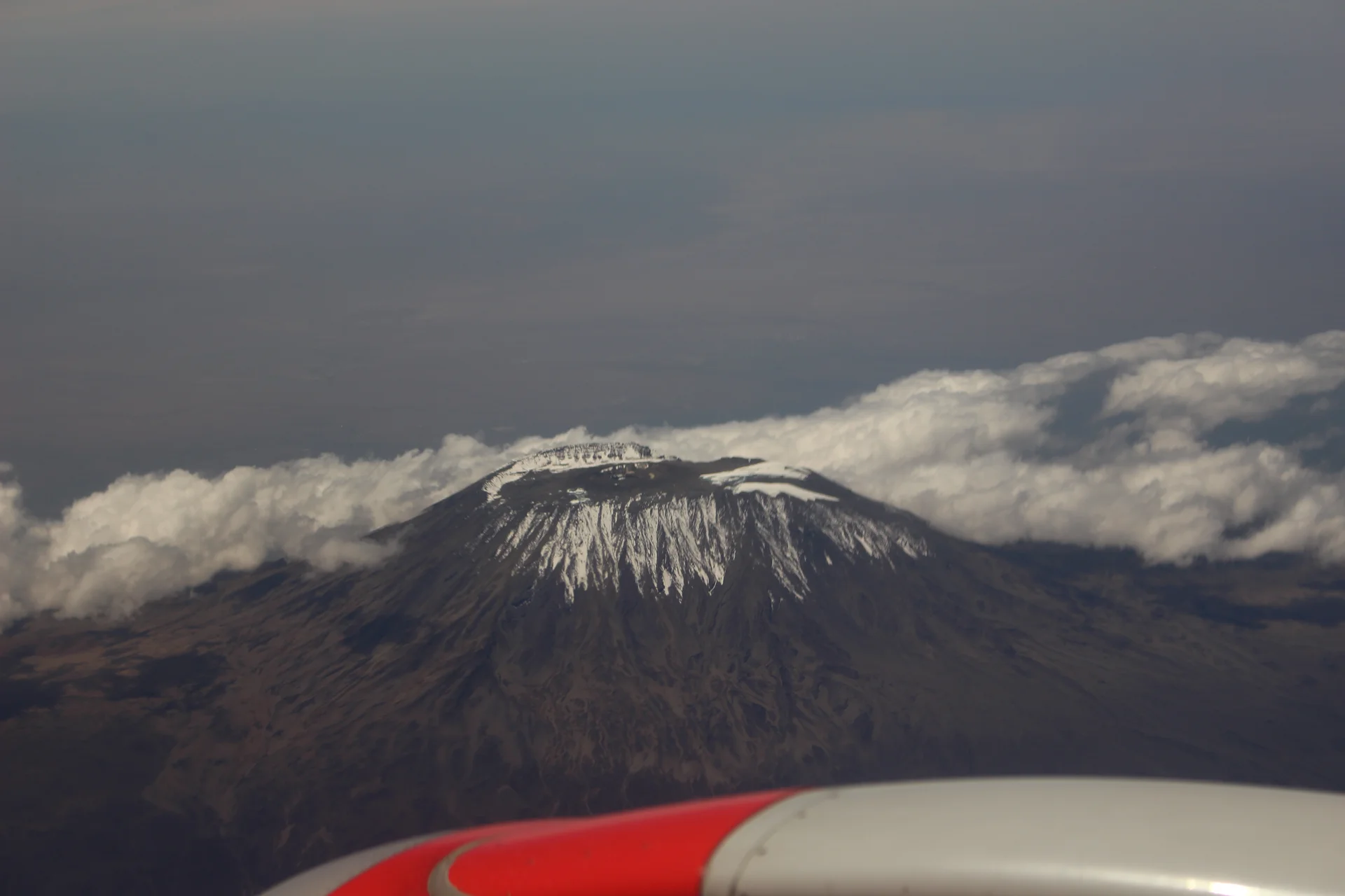
Kilimanjaro
Kilimanjaro rises above northern Tanzania’s plains to Uhuru Peak at 5,895 metres, the highest point in Africa. Its volcanic massif, dramatic changes in vegetation and high mountain landscapes make it one of Tanzania’s most memorable destinations. Kilimanjaro National Park is a UNESCO World Heritage Site, recognised for the mountain’s exceptional natural scenery. This destination focuses on preparing a thoughtful mountain visit, from a guided lower-slope excursion to a fully supported summit trek. The journey is much more than the final summit attempt. Lower forest trails give way to heath and moorland, followed by alpine desert and the exposed upper mountain. Kibo, Mawenzi and Shira shape the landscape, while changing cloud, weather and light create a different atmosphere at each stage. Giant groundsels and lobelias add interest in suitable highland habitats. Lower forest sections may offer monkeys and birdlife, although a trek’s main purpose is the mountain experience rather than conventional game viewing. Route choice should begin with your available time, walking experience, accommodation preference and the itinerary’s ascent profile. Familiar options include Marangu, Machame, Lemosho and Rongai. Marangu uses mountain huts, while the other main trekking options rely on designated camping arrangements. Compare the actual daily walking stages and sleeping locations instead of choosing solely from a route name, a low price or an advertised success rate. We suggest considering a longer itinerary with deliberate time for acclimatisation rather than simply seeking the shortest possible climb. Adding time can improve the pace and experience, but no schedule removes altitude risk or guarantees the summit. Before booking, discuss high-altitude travel with a qualified health professional, particularly if you have a medical condition or have previously struggled at altitude. On the mountain, communicate openly with your guide and accept changes to the plan when conditions or wellbeing require them. Preparation includes steady walking fitness, familiarity with your equipment and realistic expectations about consecutive days outdoors. Build experience on varied terrain, test boots and your daypack before travelling, and plan for long descents as well as uphill effort. A climber carries essential daytime items while the support arrangement handles agreed camp equipment and other luggage. Request a complete kit list and clarify what is supplied, rented or brought from home before departure. A supported climb involves guides, porters, meals, shelter and transport logistics. Ask about the operator’s licences, guide experience, staff welfare practices and emergency procedures as well as the itinerary. Clarify how health checks, communication, descent decisions and evacuation are handled. Good service should be evident in the detailed arrangements, fair treatment of the mountain crew and willingness to prioritise a safe return over a summit target. Allow time before the trek for arrival, briefing and equipment checks, then keep a rest day after descent where your wider schedule permits. Moshi and Marangu offer convenient bases, with Arusha also useful for connecting safari plans. Airport-to-hotel travel and hotel-to-gate transfers are separate stages, and the correct gate depends on the route. Avoid booking an essential onward flight immediately after a descent that could finish later than planned. Travellers who prefer a shorter introduction can ask about an authorised day hike or lower-slope experience. A day visit offers a mountain setting without the time commitment of a summit expedition, but it still needs suitable guiding, park arrangements and weather preparation. Cultural, coffee or village visits around the foothills are separate activities that can complement the mountain portion of a journey. Whether your ambition is to reach Uhuru Peak or simply spend time in Kilimanjaro’s forest and foothill landscapes, choose a programme that fits your abilities and interests. Stay on designated routes, carry out litter, respect wildlife and follow your guide’s instructions. The most rewarding itinerary leaves room to appreciate the journey and treats returning well as an essential part of the adventure.
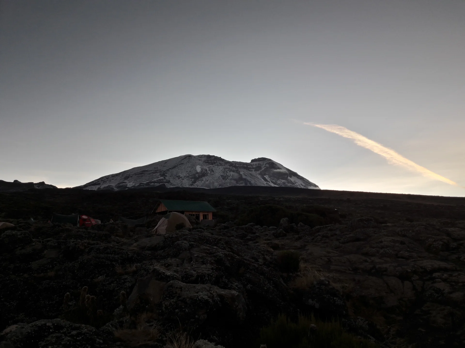
Kilimanjaro Lemosho Route
The Lemosho Route offers a western approach to Mount Kilimanjaro through forest and the open Shira Plateau. A standard southern itinerary continues toward Lava Tower, Barranco, Karanga and Barafu before a conditional ascent to Uhuru Peak at 5,895 metres. Descent normally follows Mweka, so the journey explores a different side of the mountain on the way down. This variety makes Lemosho an appealing option for travellers who want a substantial mountain journey alongside their summit ambition. The experience begins among the trees around the western trailhead and Mti Mkubwa, also called Big Tree Camp. Above the forest, heather and moorland give way to broad views across Shira when visibility allows. Higher stages move into increasingly exposed, sparsely vegetated terrain. Cloud, wind and changing light shape the experience, so photographs and advertised viewpoints should be understood as possibilities rather than promised conditions. Lemosho is a camping expedition. Confirm sleeping tents, mattresses, sleeping-bag specifications, dining arrangements, sanitation and the equipment supplied in your particular package. A place named “hut” on a route description does not mean you have booked a bed indoors. Camps can be cold or damp; organise waterproof packing and keep essential clothing accessible in your daypack. Hotel nights before and after the trek should be listed separately in the quotation. Seven- and eight-day programmes are commonly offered, with longer and differently staged variants also available. Compare actual overnight stops and altitude progression rather than choosing by the route name alone. An extra day provides more room for pacing and acclimatisation, but a longer itinerary still cannot promise a summit. Ask whether Day 3 uses Shira 2 or Moir and how the final high camp is arranged; these details change the daily effort. One illustrative eight-day outline is: Day 1: Complete Londorossi entry formalities, transfer to the Lemosho trailhead and trek to Mti Mkubwa. Day 2: Continue through the forest transition and moorland to Shira 1. Day 3: Cross the plateau to Shira 2, with any additional walk chosen by the guide. Day 4: Ascend toward Lava Tower, then descend to Barranco. Day 5: Negotiate Barranco Wall and continue to Karanga. Day 6: Walk to Barafu and prepare for the summit stage. Day 7: Attempt Uhuru via Stella Point when health and conditions permit, then descend through Barafu towards Mweka Camp. Day 8: Descend through forest to Mweka Gate and transfer to your hotel. This example follows the Shira 2 and Barafu variant; it is not a confirmed departure or a commitment to reach every stop. Barranco Wall involves steep sections where hands may be needed for balance. Discuss this terrain before booking if you are uncomfortable with scrambling or heights. The guide sets the pace and gives instructions on positioning and passing other walkers. The summit stage brings extended exertion, loose ground, darkness on many schedules and upper-mountain cold, followed by a demanding descent. Preparation should cover consecutive walking days as well as fitness for one long hike. Ask your operator about health monitoring, communications, evacuation coordination and the procedure for ending a climb early. Physical fitness does not prevent altitude illness. Report symptoms promptly and accept a change of plan when needed. Seek personalised advice from a qualified clinician about high-altitude travel, and check that insurance covers the intended summit height and the activities in your itinerary. Good planning also means clear expectations for the team supporting the climb. Confirm porter welfare practices, luggage limits, meals, dietary needs, drinking-water treatment and equipment checks. Stay on the agreed paths, protect fragile vegetation, carry out litter and avoid feeding wildlife. Leave time for briefing and rest before departure, with a recovery and onward-travel buffer after descent.
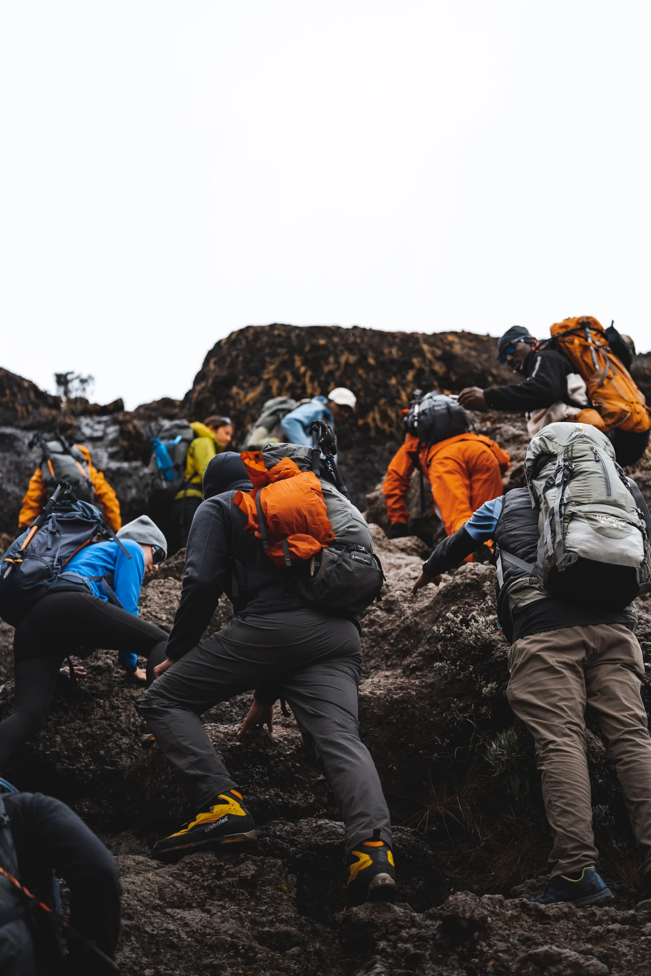
Kilimanjaro Machame Route
Kilimanjaro’s Machame Route approaches from the southern slopes and combines forest trekking, moorland, the Shira area and the mountain’s southern circuit. The standard summit approach continues from Barafu via Stella Point towards Uhuru Peak at 5,895 metres, with descent through Mweka. Commonly called the “Whiskey Route”, Machame is a demanding camping journey whose appeal lies in the changing terrain and the time spent walking through mountain environments. The opening stage follows the forest trail above Machame Gate to Machame Camp. Higher up, the trail becomes rockier and the landscape opens toward Shira, with heather and moorland replacing the trees. The usual itinerary then travels toward Lava Tower before descending to Barranco. Views of Kibo and the higher ridges depend on weather and visibility; cloud, rain and wind can make familiar viewpoints feel very different from photographs. Six- and seven-day itineraries are commonly offered. A seven-day schedule usually includes an overnight stop at Karanga, separating the Barranco-to-Barafu section into two stages before the summit attempt. Compare the actual camp list rather than relying on the advertised number of days. A shorter itinerary can compress demanding walking stages, while additional time still does not guarantee successful acclimatisation or a summit. Choose the ascent profile with the operator and seek individual high-altitude advice from a qualified clinician. An illustrative seven-day outline is: Day 1: Register at Machame Gate and trek through forest to Machame Camp. Day 2: Continue through heath and moorland towards Shira 2 Camp. Day 3: Ascend toward Lava Tower, then descend to Barranco Camp. Day 4: Negotiate Barranco Wall and cross the intervening terrain to Karanga Camp. Day 5: Continue to Barafu Camp and prepare for the summit stage. Day 6: Attempt Uhuru Peak via Stella Point only when health and conditions permit, then descend through Barafu toward Mweka Camp. Day 7: Walk down through forest to Mweka Gate and transfer to your hotel. This is a planning example. The licensed operator must confirm campsite bookings, daily stages, timings and any necessary changes. Machame requires preparation for consecutive walking days and uneven ground. Barranco Wall includes steep scrambling where hands may be used for balance. Discuss concerns about heights, mobility or this terrain before booking, and follow the guide’s instructions on movement and passing. At higher elevations the environment is cold and exposed; the usual overnight summit stage adds darkness, loose ground and a long descent to an already demanding ascent. Accommodation is in tents at designated camps. Ask how sleeping tents are shared and what mattress, sleeping bag, dining facilities and sanitation your package supplies. A site described as a “hut” in a route name does not mean indoor lodging is included. Protect spare layers from rain, test your boots and daypack in advance, and obtain a complete equipment list with clear rental arrangements. Keep a headlamp, warm layers, rain protection and essential personal items available while walking. Guides, porters and meal logistics are central to the expedition. Request clear information about crew welfare, luggage limits, dietary requirements, drinking-water treatment, health checks, communications and emergency coordination. Physical fitness does not prevent altitude illness. Tell the guide about symptoms promptly and accept changes or descent when needed. Review travel insurance carefully for trekking to the intended summit height, evacuation and medical treatment under its stated conditions. Forest wildlife and mountain birds may be encountered, but observations are incidental rather than the focus of the climb. Keep a respectful distance from animals, do not feed them and protect fragile plants and campsites. Stay on the agreed trail, carry out litter and follow park and guide instructions. Good preparation includes consideration for the crew and the mountain as well as personal equipment and fitness. Moshi is a convenient base for briefing, equipment checks and recovery; Arusha may also fit the wider travel plan. Confirm airport transfers and the separate collection from Mweka, since the standard climb does not return to Machame Gate. Allow a comfortable arrival before trekking and a rest and travel buffer after descent. Any onward safari, cultural visit or coast stay should be clearly scheduled and priced separately.
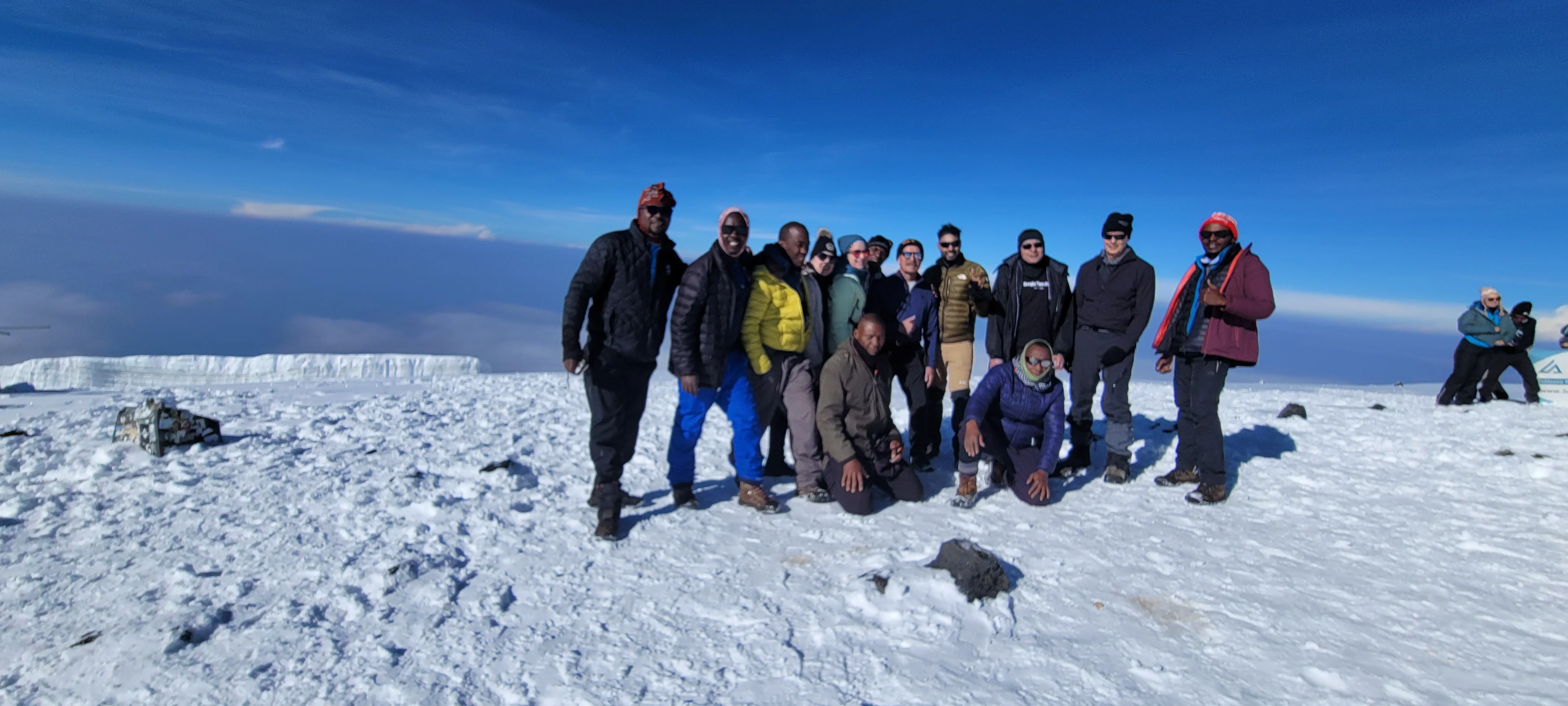
Kilimanjaro Marangu Route
Kilimanjaro’s Marangu Route is a hut-based mountain itinerary approaching from the southeastern side. It passes through forest, heath and moorland before reaching the exposed Saddle and Kibo area. The usual summit stage ascends via Gilman’s Point to Uhuru Peak at 5,895 metres, Africa’s highest point. Descent follows the Marangu side back to the same gate, giving travellers a return journey through the mountain’s changing habitats. Marangu is often called the “Coca-Cola” route, but its practical defining feature is accommodation in mountain huts. Mandara, Horombo and Kibo provide the main overnight stages. These are expedition facilities, commonly involving shared accommodation, rather than private lodge rooms. Clarify bedding, sleeping-bag requirements, toilets and the booked accommodation before travelling. A roof overhead is convenient, but cold, altitude and consecutive walking days remain important parts of the experience. The first stage leads through montane forest to Mandara. A guide may include a suitable short visit to Maundi Crater if the programme, weather and wellbeing allow. Higher up, the landscape opens into moorland with opportunities to appreciate mountain plants and views of Kibo and Mawenzi in clear conditions. The crossing towards Kibo becomes more exposed, with less vegetation and a high-altitude desert character. Cloud and changing light mean no viewpoint is guaranteed to reveal the peaks. Programme lengths vary. We suggest comparing a six-day option with an extra night at Horombo rather than automatically selecting the shortest advertised schedule. That additional stage allows more time in the mountains and can improve pacing, but it does not make the ascent suitable for everyone or guarantee summit success. Examine daily effort and sleeping-altitude progression with the operator, and discuss high-altitude travel with a qualified clinician when preparing for the climb. One illustrative six-day outline is: Day 1: Complete entry formalities at Marangu Gate and walk through forest to Mandara Hut. Day 2: Continue into heath and moorland towards Horombo Hut. Day 3: Spend another night at Horombo, with a guide-planned acclimatisation walk appropriate to conditions and wellbeing, such as towards Zebra Rocks or a suitable Mawenzi-area viewpoint. Day 4: Cross the higher terrain and Saddle to Kibo Hut and prepare for the summit stage. Day 5: Attempt the summit via Gilman’s Point only if conditions and health allow, then descend through Kibo towards Horombo. Day 6: Descend through Mandara and the forest to Marangu Gate, then return to your hotel. This is a planning example; the actual programme, hut bookings and any necessary changes must be confirmed by the operator. Prepare for sustained walking, loose ground on the summit approach, upper-mountain cold and a long descent. Test your boots and daypack before travelling, practise consecutive walking days and obtain a complete equipment list. Carry essential layers, rain protection, water, headlamp and personal medication where you can reach them during the day. Ask what your package supplies and which items should be brought or rented. A supported climb depends on guides, porters and meal logistics as well as accommodation. Request clear details of staff training, crew welfare, luggage limits, drinking-water arrangements, communications and emergency descent procedures. Tell the operator about dietary requirements early. Report health concerns promptly and accept changes to the plan when needed; a well-organised expedition prioritises returning well over achieving a summit target. Moshi or Marangu can provide a practical base for arrival, briefing and recovery. Allow time for equipment checks before the first trekking day and keep a comfortable rest and travel buffer after descent. A safari, cultural visit or coast stay can complement the climb when the wider timetable fits. Travellers with limited time can ask about a separately authorised lower-forest day hike, which offers a mountain introduction without being a summit expedition.
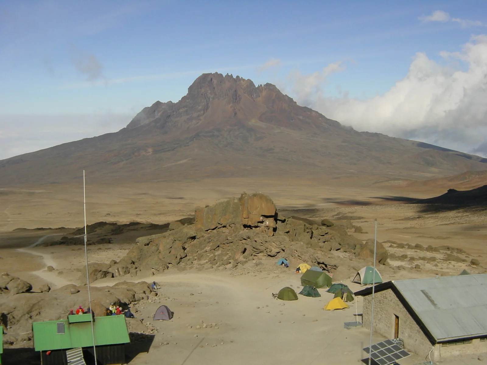
Kilimanjaro Rongai Route
Kilimanjaro’s Rongai Route approaches the mountain from the north and northeast, close to the Kenyan border, while remaining a Tanzanian mountain itinerary. It appeals to travellers who want a different perspective on Kilimanjaro, with forest and moorland stages, views of Mawenzi and a crossing of the high-altitude Saddle. The usual summit approach is from the Kibo area via Gilman’s Point to Uhuru Peak at 5,895 metres, followed by descent on the Marangu side. The early route moves from the trailhead towards the first camp, commonly described as Simba or Rongai Cave in different programmes. Later stages can include Second Cave, Kikelewa and Mawenzi Tarn, depending on the itinerary. Camp names alone do not tell you the daily effort or ascent profile: compare the actual walking stages, overnight locations and time allowed to adjust to altitude before making a choice. Mawenzi Tarn is a distinctive setting below the rugged Mawenzi massif. From there, the route crosses the Saddle towards Kibo, with a more exposed alpine-desert character and broad views between the mountain’s volcanic features. A stop near Mawenzi is a landscape and trekking experience; it does not include a technical ascent of Mawenzi itself. The final summit stage is a demanding high-altitude undertaking, with cold, darkness and prolonged walking to consider. Rongai is often chosen for a quieter northern approach and relatively drier conditions than some southern slopes. Neither characteristic is guaranteed. Groups vary by date, weather can affect any part of the mountain, and the summit and descent sections are shared with other itineraries. Choose the route because its detailed programme fits your interests and preparation, rather than treating it as a rain-free or effortless way to reach the top. Operators offer different programme lengths. We suggest comparing a seven-day or longer itinerary that includes deliberate time for acclimatisation, while examining the actual sleeping-altitude progression. More time can improve the pace and overall experience, but it does not guarantee freedom from altitude illness or summit success. Discuss personal medical suitability with a qualified clinician and be ready to adapt the plan under your guide’s direction. One illustrative seven-day outline is: Day 1: Complete entry arrangements and walk from the Rongai/Nalemuru trailhead to the first camp. Day 2: Continue through moorland towards Kikelewa, using the route stages agreed by the operator. Day 3: Ascend to Mawenzi Tarn. Day 4: Spend an additional night at Mawenzi Tarn, with guide-planned acclimatisation activity appropriate to conditions and wellbeing. Day 5: Cross the Saddle to the Kibo area and prepare for the summit stage. Day 6: Attempt the summit via Gilman’s Point only if conditions and health allow, then descend towards Horombo on the Marangu side. Day 7: Continue through the lower habitats to Marangu Gate and transfer to your hotel. This is a planning example. Other programmes split stages differently, and the operator must confirm the actual camps, permissions and daily schedule. Rongai is a camping route. References to Kibo Hut or Horombo Hut may identify an area without promising a bed inside a hut. Confirm the accommodation used on each night, together with tents, sleeping mats, sleeping bags and toilet arrangements. Ask about meals, drinking-water logistics, equipment rental and the luggage allowance carried by the support team. Keep essential daytime items and personal medication accessible in your own daypack. Prepare with steady walking endurance, tested boots and experience of consecutive days outdoors. Consider downhill effort as well as the climb, and pack for both rain and very cold upper-mountain conditions. Request details of guide qualifications, crew welfare, communications, health monitoring and emergency descent procedures. A well-organised expedition makes it easy to report concerns and places returning well ahead of a summit target. Allow pre-trek time for briefing and kit checks, plus a recovery and travel buffer after descent. Moshi or Marangu can provide a practical base, with an operator-coordinated transfer to the northern start and collection at the southern exit. Rongai combines contrasting sides of the mountain in one journey, rewarding travellers who give the changing landscapes and daily stages as much attention as the summit.
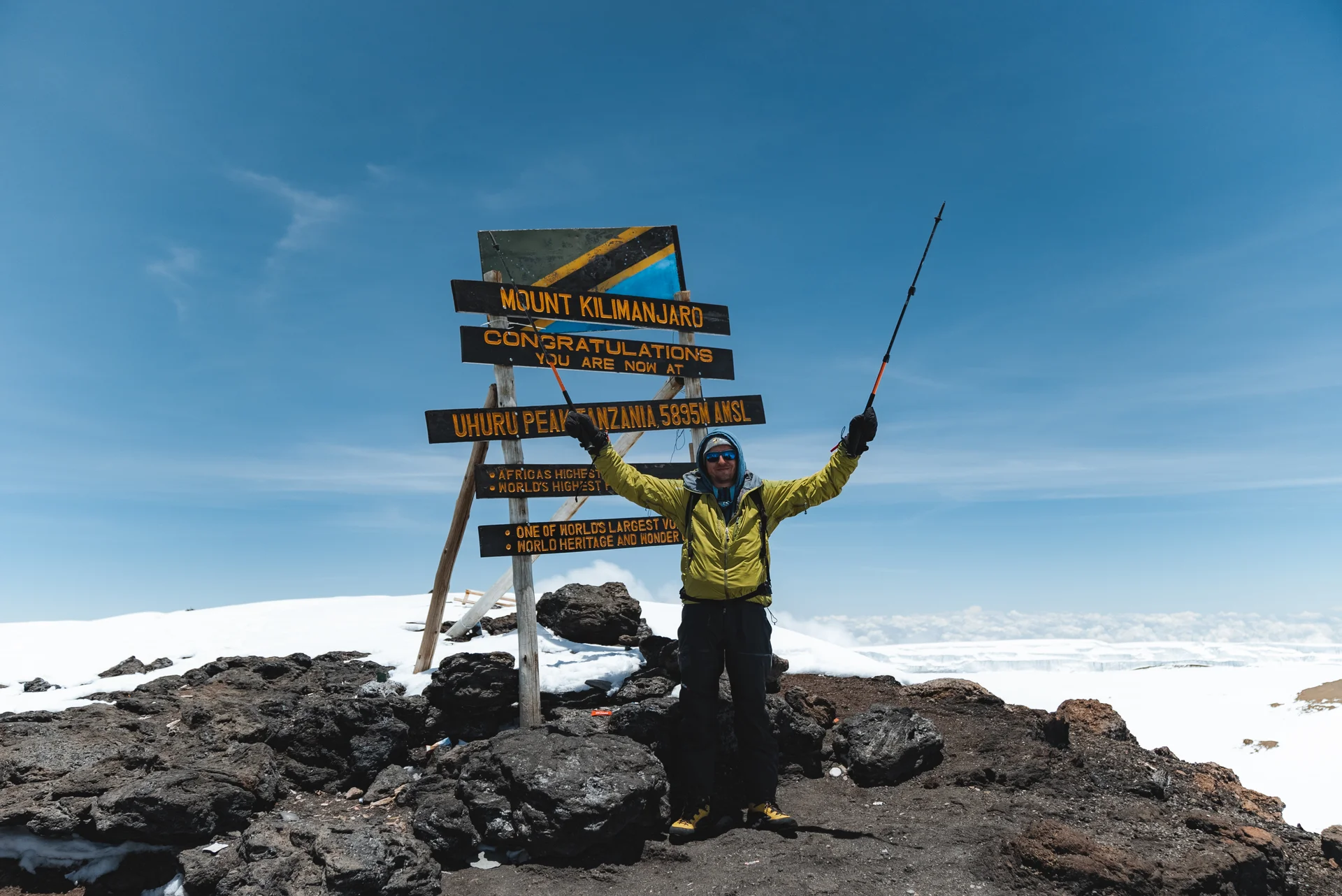
Kilimanjaro Umbwe Route
Kilimanjaro’s Umbwe Route is a steep southern approach for well-prepared hikers who want a demanding mountain journey. It starts at Umbwe Gate and climbs through dense forest and ridge terrain before reaching Barranco, where it joins the southern circuit. This guide describes the usual continuation through Karanga and Barafu, with a summit attempt via Stella Point to Uhuru Peak at 5,895 metres and a descent through Mweka. The opening stages define Umbwe’s character. The ascent is direct, with uneven ground, roots and steep sections that require steady footing and sustained effort. Leaving the forest brings broader mountain views, but also rapid exposure to altitude. Physical strength and enthusiasm are valuable, yet neither removes the need to examine the ascent profile. Discuss your walking experience, previous altitude response and the proposed sleeping stages with an experienced licensed operator before choosing this route. At Barranco the landscape opens into a dramatic highland setting. The usual onward itinerary includes the Barranco Wall, a hands-on scrambling section, followed by a traverse towards Karanga and the higher, rockier terrain around Barafu. These later sections are shared with other southern itineraries, so a quieter start does not mean the entire trek will be uncrowded. Weather, group pace and the chosen daily stages shape the experience more than a simple route label. Umbwe itineraries are offered in different lengths. We suggest comparing an extended programme with a deliberate extra night for acclimatisation rather than choosing the shortest advertised option. Seven mountain days is one planning example, but day count alone does not make the rapid early ascent suitable for everyone. A longer alternative route may better fit some travellers. Get advice on high-altitude travel from a qualified clinician, particularly if you have a medical condition or previous altitude problems. An illustrative seven-day outline is: Day 1: Complete entry arrangements at Umbwe Gate and ascend through forest to the first Umbwe or forest camp. Day 2: Continue up the ridge, leave the forest and reach Barranco Camp. Day 3: Spend an additional night at Barranco, with any acclimatisation activity chosen by the guide according to conditions and wellbeing. Day 4: Negotiate the Barranco Wall and continue to Karanga Camp. Day 5: Trek to Barafu and prepare for the summit stage. Day 6: Make the summit attempt only if conditions and health allow, then descend through Barafu to the agreed lower camp on the Mweka side. Day 7: Descend through forest to Mweka Gate and transfer to your hotel. This is a planning illustration; the operator must confirm the actual camps, permissions, schedule and any changes needed. Umbwe is a camping trek. Clarify tents, sleeping mats, sleeping bags, meals, drinking-water arrangements and toilets before booking. Mountain camps offer practical expedition facilities, and a complete equipment check matters. Your daypack should hold the layers, rain protection, water and other essentials needed between camps, while the support team handles the luggage and equipment agreed in your package. Prepare for consecutive walking days, scrambling confidence, cold upper-mountain conditions and a long descent after the summit stage. Test your boots and equipment before travel and allow pre-trek time for briefing and final checks. Ask about guide training, crew welfare, communications, health monitoring and emergency descent procedures. A well-organised trip places a safe return ahead of reaching the summit and makes it easy for you to report concerns. Moshi is a convenient base for arrival and recovery, with transfers arranged to Umbwe Gate and from the Mweka exit. Allow a rest and travel buffer after descent before a flight or safari connection. Keep to the designated trail, respect wildlife, avoid disturbing fragile plants and carry out litter. Umbwe rewards careful preparation and attentive walking, with the mountain’s changing habitats forming an important part of the experience.
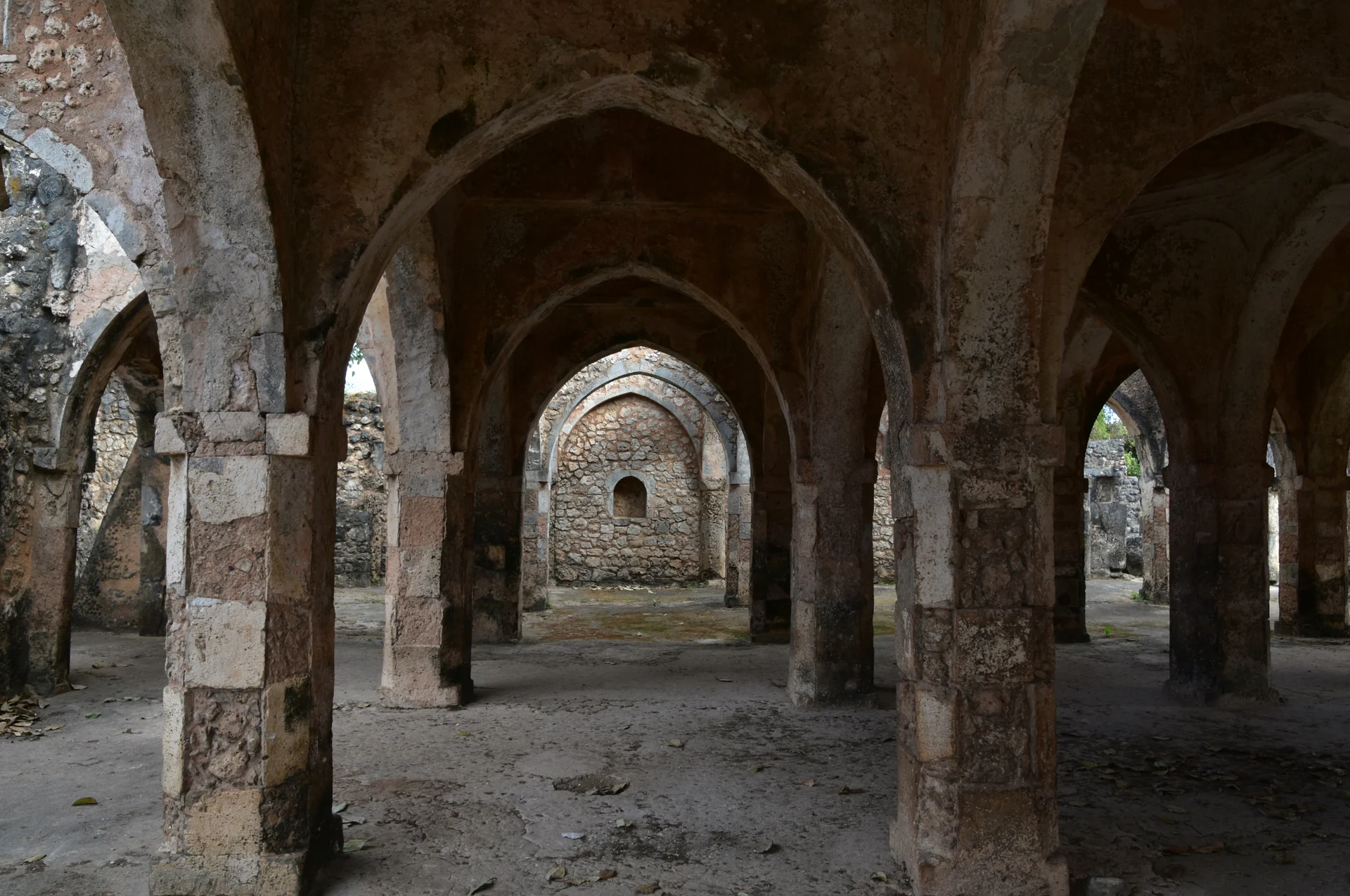
Kilwa
Kilwa brings together remarkable Swahili heritage and the quiet shores of Tanzania’s southern coast. Based around Kilwa Masoko in Lindi Region, a visit combines island ruins, working waterfronts and time beside the Indian Ocean. It suits travellers who enjoy history, photography, local culture and a slower coastal journey. Across the water, Kilwa Kisiwani and Songo Mnara form the UNESCO-listed Ruins of Kilwa Kisiwani and Ruins of Songo Mnara. These former trading settlements reveal the coast’s connections with Arabia, India and China. On Kilwa Kisiwani, guided walks take in the Great Mosque, Husuni Kubwa palace and Gereza fort, with coral-stone remains offering a vivid introduction to Swahili architecture. Songo Mnara is a separate island excursion and should be planned with its own boat arrangements. Kilwa Masoko is the practical mainland base for accommodation and island departures. Nearby Kilwa Kivinje adds another chapter of coastal history through its historic streets and waterfront. Allow time to enjoy local seafood, explore the coast and meet residents respectfully. Beaches and boat outings can complement the heritage visits, with activities selected according to local availability and conditions. Plan island visits through an experienced local organiser or the site management team. Confirm entry permissions, guiding, boat safety, tides and weather before departure. Walking routes include uneven ground and exposed areas; comfortable footwear, drinking water and sun protection are essential. Cover shoulders and knees when visiting communities and religious sites, ask before photographing people and help protect the ruins by keeping off fragile structures.
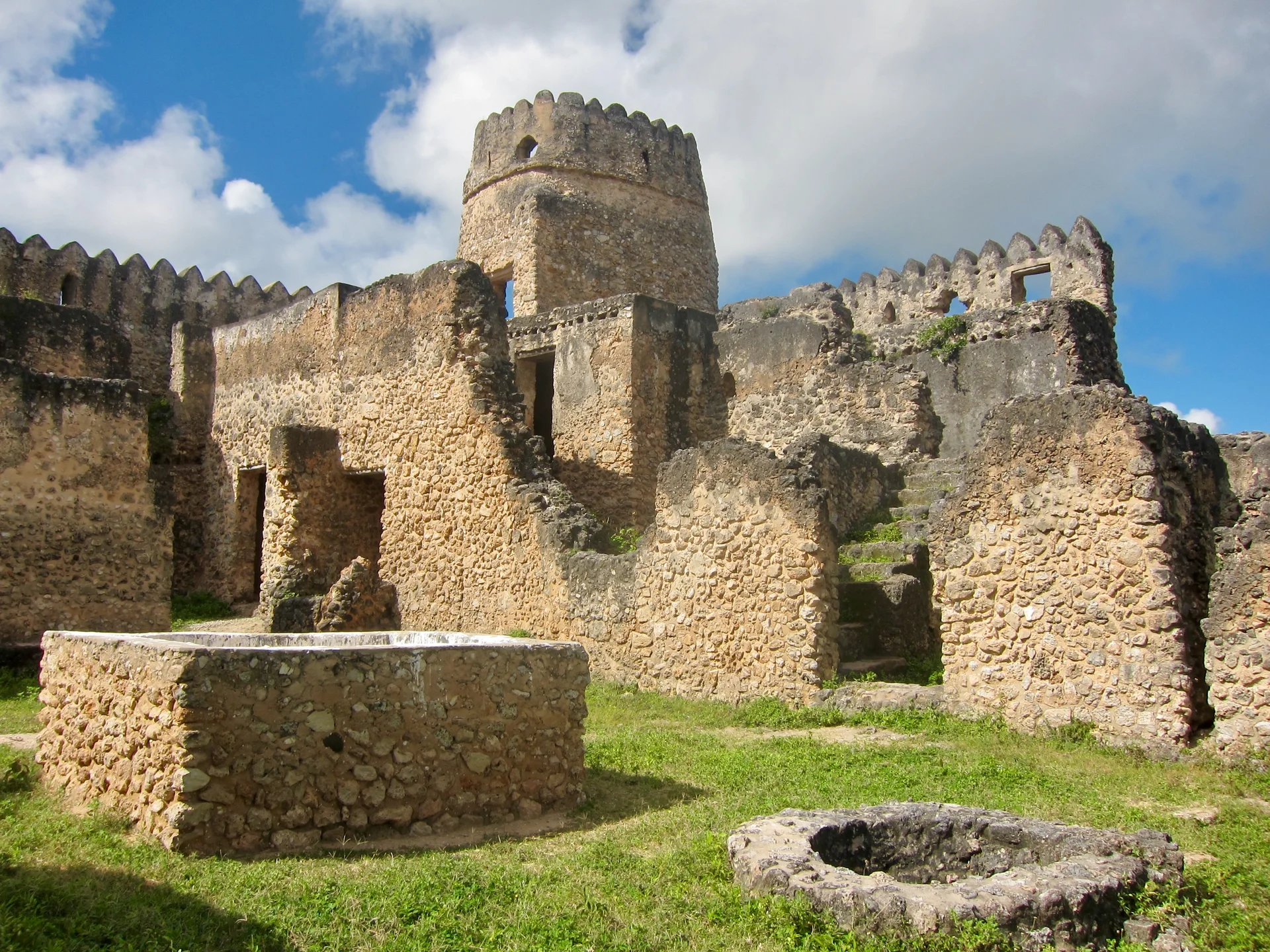
Kilwa Kisiwani
Kilwa Kisiwani is an island of historic Swahili ruins off Tanzania’s southern coast, reached by boat from Kilwa Masoko in Lindi Region. The combination of stone architecture, Indian Ocean views and a living island community makes it a rewarding destination for travellers interested in history, culture and photography. Together with the separate island site of Songo Mnara, Kilwa Kisiwani forms the UNESCO-listed Ruins of Kilwa Kisiwani and Ruins of Songo Mnara. The settlement grew through Indian Ocean trade and connected the East African coast with distant markets. Guided exploration brings this maritime heritage into focus through the Great Mosque, Husuni Kubwa palace, Gereza fort and Makutani complex. These surviving monuments reveal different chapters of the island’s past; the guide can help distinguish them and explain how people lived, worshipped and traded here. Allow half a day to a full day for a thoughtfully paced island visit. Choose your walking route in advance, particularly if you want to include more distant ruins. The mainland town of Kilwa Masoko is the practical base for accommodation, transfers and boat arrangements. Songo Mnara requires its own excursion plan and is not automatically included in a Kilwa Kisiwani visit. This is best explored on foot with an experienced local guide. Paths can be uneven, some sections are exposed to the sun, and boarding a boat requires care. Bring comfortable shoes, drinking water, a hat and sun protection. Confirm current entry permissions, fees, guiding and the return crossing before departure, and allow flexibility for weather and tides. Kilwa Kisiwani remains home to an island community. Dress respectfully, ask before photographing residents, follow advice around mosques and cemeteries, and protect the ruins by avoiding fragile walls and structures. A responsible visit supports local guiding and helps preserve a remarkable part of Tanzania’s coastal heritage.
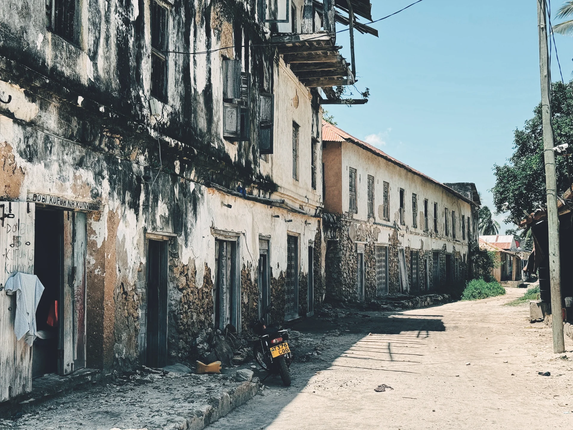
Kilwa Kivinje
Kilwa Kivinje is a historic mainland town on Tanzania’s southern coast, north of Kilwa Masoko in Lindi Region. Its old streets, waterfront and surviving buildings offer a rewarding introduction to the everyday heritage of a Swahili coastal port. It suits travellers interested in architecture, local history, photography and a slower cultural visit. The town became an important trading centre in the nineteenth century. Its history includes Indian Ocean commerce in ivory and the trafficking of enslaved people, as well as later colonial administration. A knowledgeable local guide can explain these difficult chapters alongside the town’s continuing coastal traditions. Walk through the historic Mgongeni area to appreciate older buildings and carved Swahili doors. Mixed architectural influences, weathered façades and street details reveal the town’s connections with the wider Indian Ocean. The waterfront provides another perspective on Kivinje as a living community and working harbour. View historic and religious buildings respectfully, and ask about permission before entering any premises. Kilwa Kivinje complements a wider Kilwa heritage itinerary. Reach it by road from Kilwa Masoko, and plan island excursions to Kilwa Kisiwani or Songo Mnara separately. Allow a relaxed walking visit with time for guiding, photography and breaks, rather than assuming every building is open to tourists. Wear modest clothing and comfortable shoes, bring drinking water and sun protection, and ask before photographing people, homes or working boats. Follow your guide’s advice around mosques, private properties and fragile structures. Early or late walks are usually more comfortable in the coastal heat, with the route adapted to the day’s weather and local activity.
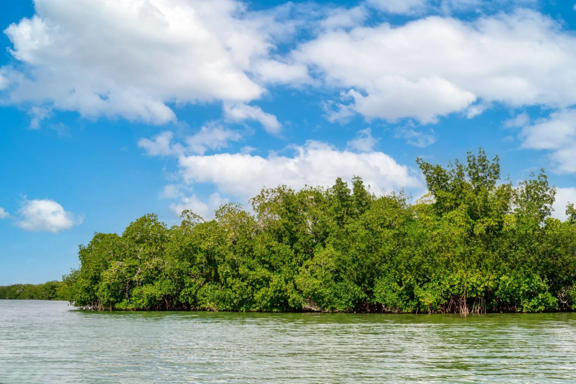
Kirui Island Marine Reserve
Kirui Island Marine Reserve protects an island and coastal marine setting in Mkinga District, Tanga Region, on Tanzania’s northern coast. Part of the Tanga Marine Reserves system in the Pemba Channel, it offers an opportunity to explore the relationship between mangroves, seagrass, reef habitats and the mainland shore. The most rewarding visit is one planned with knowledgeable local guiding, enough time for quiet observation and practical arrangements matched to the conditions. Mangroves are central to Kirui’s character. Stands occur around several sides of the island, with land vegetation and rocky shore areas adding variety to the landscape. The surrounding coastal environment includes seagrass and coral habitats, particularly in the wider Moa Bay and eastern island setting. A guide can help explain the connections between these places while choosing an observation route that respects access restrictions and sensitive areas. Shoreline appearance and the practical places to approach change with the tide. Birdwatching can give the excursion a relaxed focus. Bring binoculars, keep noise low and allow time to watch the birds using the shore and vegetation. The birds present, their behaviour and suitable viewing positions vary, so a trip should not promise particular species or fixed sightings. Your guide may recommend observation from the boat, an approved shore location or a combination of both. Avoid approaching nests and roosts or using food and calls to draw animals closer for photographs. Guided snorkelling may be possible when a suitable operator confirms a site, permission, conditions, equipment and supervision. Explain your swimming ability and experience before the itinerary is set. Water clarity, current and entry conditions need a local assessment; a regional reef description cannot establish what a particular outing will be like. A visitor who prefers to stay dry can choose a programme centred on coastal scenery, photography and habitat interpretation, provided the actual boarding and access arrangements are suitable. Kirui also has connections with mainland communities and earlier island settlement. Tourism accounts describe former residents and continuing ancestral ties. If community history is important to your visit, arrange interpretation with a knowledgeable local guide who can explain these connections respectfully and distinguish oral accounts from documented information. Ask before photographing people or community activities, and follow instructions around places of cultural significance. Private or sacred spaces should never be treated as automatically open to visitors. A suggested two-day stay begins with arrival at mainland accommodation and a relaxed local orientation. Use the first day to confirm the departure point, reserve arrangements, guide, weather and boat programme. On the second day, a pre-arranged Kirui excursion can combine coastal views, birdwatching and mangrove interpretation, with a suitable water activity only if specifically booked and conditions allow. The guide and skipper should decide the sequence and any landing around the tide, with an agreed return plan. This is an illustrative outline rather than a fixed departure timetable. Allow additional time for other Tanga coastal destinations. Kwale, Ulenge, Mwewe or a Pangani-area extension each needs its own route and access checks, and none should be assumed to be a simple stop on the same boat trip. Choose the number of places by your interests, transport and available days. A slower itinerary leaves room for weather changes and makes it easier to appreciate each coastal setting without spending most of the visit transferring between them. Tanga Airport is a regional gateway to consider after confirming current flights and onward road arrangements. A journey from Dar es Salaam or another city needs a separate mainland transfer or flight plan. Ask your organiser for realistic travel estimates for the exact accommodation and departure point. Confirm the vessel, skipper, passenger arrangements, correctly fitting life jackets, reserve admission and permission for the proposed programme before travelling to the coast. Treat the excursion as self-contained unless particular facilities have been confirmed. Agree drinking water, meals, shade, toilets, changing arrangements, equipment and waste removal, and request an itemised quote. Stay on the mainland unless the relevant authority and organiser explicitly confirm an authorised overnight island arrangement. Keep a comfortable buffer before onward flights or long road journeys, because sea conditions can change the return plan. June to September generally provides a drier period on the northern coast, while March to May is usually the main rainy period and October to December often brings shorter rains. Daily wind, tide, visibility and sea state still matter in every season. Pack sun protection, a hat, a light rain layer, binoculars, a waterproof bag and footwear matched to the approved route. Follow local guidance, avoid damaging mangrove roots or touching coral, leave natural objects in place and take all waste back to the mainland.
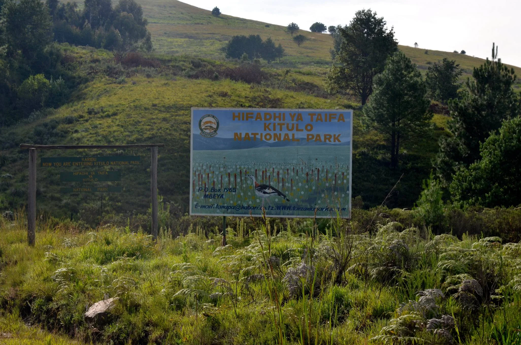
Kitulo National Park
Discover Kitulo National Park Kitulo National Park brings a different kind of Tanzania adventure to the Southern Highlands: rolling mountain grasslands, seasonal wildflowers, distinctive birds and rewarding days on foot. Straddling the Mbeya and Njombe regions, the park centres on the Kitulo Plateau at around 2,600 metres. The highland setting feels markedly different from a warm lowland safari, with cool air, changing cloud and broad views when conditions clear. Known as Bustani ya Mungu, the Garden of God, Kitulo is especially appealing to walkers, photographers, birdwatchers and travellers interested in plants. Established as a national park in 2005 and managed by Tanzania National Parks, it protects an important montane landscape. Plan your visit around the experience you most want: a flower-focused journey, a scenic hike, specialist birdwatching or a combination of these interests. A remarkable botanical landscape Official park information records around 350 vascular plant species and 45 terrestrial orchid species. That does not mean that all 45 orchids occur only within the park: the botanical importance includes species with different distributions across Tanzania and the neighbouring highlands. Looking closely at this diversity is more rewarding than expecting every recorded plant to be in bloom at once. The plateau includes well-drained grassland, wetter boggy areas and rocky terrain, each supporting a different community of plants. In flowering conditions, a walk can reveal colour at both landscape scale and within individual stems and blooms. A knowledgeable botanical guide can help identify what is flowering on the day, explain the habitats and show how to observe without damaging delicate plants. Photograph flowers in place, keep to the agreed route and leave bulbs, seeds and specimens undisturbed. Flowering season and the changing plateau The main flower period broadly runs from November to April, with December–April the usual planning window for the strongest seasonal displays. Rainfall influences when the season develops, and individual species flower at different stages. A particular orchid, a completely flower-covered hillside or a specific colour palette cannot be guaranteed for a chosen travel date. For a botanical itinerary, allow time for more than a quick roadside stop. Different locations and a patient walking pace make it easier to appreciate the landscape. Wet-season visits require waterproof clothing and flexibility: rain, cloud and muddy ground can affect both photography and the route. Ask the park or guide about current blooms and access shortly before departure rather than relying only on photographs taken in another year. Walking, scenery and named attractions Kitulo offers walking and hiking through upland grassland, ridges and forest landscapes. Official attractions include Matamba Ridge, Nhumbe Valley and waterfall, Mwakipembo Waterfall, Dhambwe Crater Lake and Mtorwi Peak, which reaches 2,961 metres. These are options for a tailored itinerary, not a checklist that every visitor should expect to complete in one outing. Discuss the route, terrain, complete walking time and return arrangements with the park and your organiser. A gentle flower walk and an ascent toward Mtorwi have different demands. Choose the plan to suit the least experienced member of the group, and adjust it when weather or ground conditions change. Viewing and photographing waterfalls can be a rewarding addition; swimming permission and safety must be checked separately. Birdwatching in the highlands Kitulo’s birdlife gives the park an appeal that continues beyond the main flower spectacle. Birds associated with its highland habitats include Denham’s bustard, mountain marsh widowbird, Njombe cisticola and Kipengere seedeater. Blue swallow is also associated with the plateau and wider highland landscape. These names indicate the park’s natural-history interest, rather than a guaranteed list for every day’s walk. Arrange a guide with local bird knowledge if birds are a priority, and allow time to observe quietly rather than moving rapidly between attractions. Binoculars and a field guide are useful companions. Respect viewing distances, avoid approaching nests and let the guide identify suitable observation points. The birds you encounter depend on habitat, season, weather and chance. Mammals and forest conservation The park also supports mammals, including zebra, impala, reedbuck, duikers and forest primates. Zebra were reintroduced to the plateau in 2018, with conservation monitoring helping to understand their return and their role in the grassland environment. Mammal observation can enrich a visit, while Kitulo’s main strengths remain botany, birds, walking and scenery. Livingstone Forest within the park supports the rare kipunji, a forest-dependent monkey of southern Tanzania. Its presence is an important conservation story; it should not be presented as a guaranteed encounter or a routinely available habituated-monkey trek. Forest wildlife may be difficult to observe, and habitat protection matters even when visitors do not see an animal. Mount Rungwe Nature Reserve is a separate protected area and requires its own travel arrangements if included in a wider itinerary. A cool climate in every itinerary Pack for the altitude and changing highland weather. June–August can be particularly cold, with frost, fog and reduced visibility possible. September–November can suit scenic hiking, although flowers may be fewer and the developing rains can change conditions. An apparently bright morning does not remove the need for a warm layer and rain protection. Wear sturdy footwear with good grip and carry enough drinking water and food for the agreed outing. Start at a comfortable pace, especially after travelling up from a lower elevation, and build the day around the group’s energy. Protect cameras from moisture and allow time for changing light. A flexible route is more useful than a rigid expectation of clear views or a fixed walking speed. Getting to Kitulo Songwe Airport serves the Mbeya area and is a practical arrival point, followed by road travel to the park. Official access information identifies approaches from Mbeya through Isyonje or Chimala, and from Njombe through Ikonda and Makete. The route you use depends on your arrival point, accommodation and current road advice. Ask for an itinerary-specific transfer estimate, including the final approach to the park, rather than assuming that all routes take the same time. TANAPA recommends a four-wheel-drive vehicle for park exploration. Confirm the vehicle, driver, gate and current conditions before travelling, especially during wet weather. Flight availability and onward transfers should be checked when booking. A railway journey or a longer overland Southern Highlands trip still requires separately arranged transport for the final park approach. Accommodation and practical arrangements Official park information lists cottages and designated camping, including Mwakipembo Public Campsite. Confirm current availability, facilities, bedding or camping equipment, meals and water arrangements before choosing where to stay. Matamba and Mbeya can provide additional accommodation options, with travel time to the park considered when planning the day. Enter with a valid permit through the official gate specified for your visit, and arrange walking routes and any guide or ranger requirements with the park beforehand. Use designated campsites and follow the park’s instructions for wildlife, waste and fire safety. Keep the itinerary clear about which services, activities, transfers and current charges are included. A wider Southern Highlands journey Kitulo can complement other destinations when time and transfers are planned carefully. Matema Beach is a separate Lake Nyasa destination below the Livingstone Mountains; lake activities belong to that excursion rather than to the flower plateau. Treat combinations with Matema or Mount Rungwe as additional travel days or separately assessed outings, with their own permissions and logistics. TanzaLux can help shape a Kitulo journey around the flowering season, walking ability and specialist interests, with practical arrangements checked before the itinerary is confirmed. The most satisfying visit leaves time to slow down, observe the small details and appreciate the protected highland landscape.
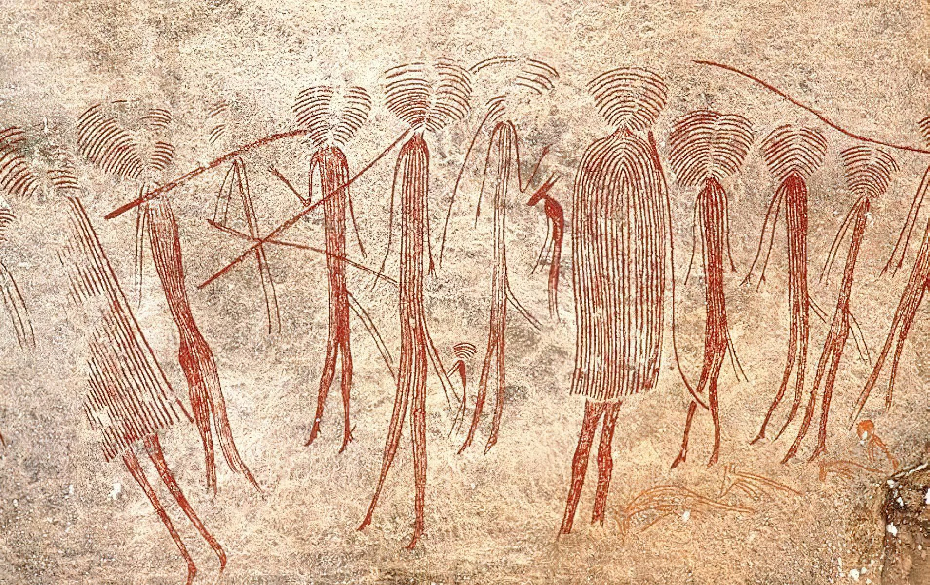
Kondoa Rock Art Sites
Kondoa Rock Art Sites reveal a remarkable chapter of Tanzania’s human history through paintings preserved on natural rock shelters in the hills of central Tanzania. Located in Kondoa District in the Dodoma Region, the wider cultural landscape became a UNESCO World Heritage Site in 2006. A visit offers a thoughtful contrast to a wildlife safari: walking between rocky slopes and shaded shelters, examining painted figures and listening to the stories that connect the landscape with the people who have lived here. Kondoa is a collection of sites spread across a large area, rather than a single cave or museum. The World Heritage property covers approximately 2,336 square kilometres, and more than 150 decorated shelters have been documented within the wider collection. The actual number is not definitively established. The paintings belong to different periods and artistic traditions, reflecting hunter-gatherer and later farming and pastoral communities. They should not all be assigned the same date or attributed to one group of people. Look closely at human figures, animals and geometric forms, with different panels showing different colours, styles and layers. Some images are faint and need patient observation from the permitted viewing position. A knowledgeable guide can help identify visible forms and distinguish what can be observed from what remains an interpretation. The traditions represented span at least two millennia, while the dating of individual paintings is often uncertain. The importance of the visit lies in this depth of cultural expression, rather than in an unsupported claim that every image has a precisely known age. Kolo is a practical starting point for many visitor itineraries. Selected shelters in the Kolo area provide an introduction to the rock art, while a longer, pre-arranged programme may include another group of sites, such as Pahi, when access is permitted. Your guide and the site team should decide which places are appropriate to visit on the day. A short visit can never cover the entire World Heritage landscape, and the best programme allows time to understand a few panels instead of rushing between many locations. The sites are also part of living heritage. Some shelters retain cultural or ritual significance for nearby communities. Visitors should approach these connections respectfully and understand that a sacred place is not automatically a public performance space. Ceremonies, private traditions and community encounters should never be promised as routine tourist attractions. Ask before photographing people, listen to local guidance and respect any restriction on access or photography. Expect an outdoor visit with walking on uneven ground, uphill sections and rocks underfoot. The effort depends on the shelters selected, weather and the pace of the group. Comfortable closed footwear, drinking water and sun protection are useful throughout the year. The generally drier months from June to October are a practical window for walking and road access. During wetter periods, slippery paths and local tracks may limit the route, so build flexibility into the itinerary and confirm conditions before departure. Allow several hours for a focused guided visit, excluding the journey from your overnight base. Travellers with a deeper interest in archaeology, art or cultural history may prefer a full day or an overnight stay near Kondoa. The destination can form part of a road itinerary between northern Tanzania and Dodoma, with realistic driving time and a suitable vehicle arranged in advance. TanzaLux can coordinate transfers, local guiding and the visit around your interests and walking ability. Confirm admission, guiding, meals, accommodation and the specific sites included before booking. Help protect the art by keeping your hands and belongings away from the painted surfaces. Never wet, chalk, trace, scratch or attempt to clean a panel to make it easier to see. Stay on the approved route and follow the guide’s instructions. Careful observation and responsible photography preserve the experience for future visitors.
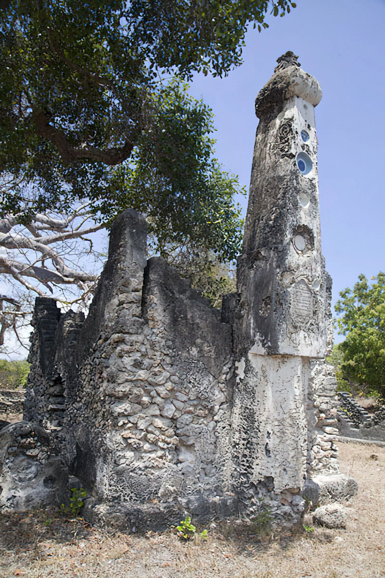
Kunduchi Ruins
Kunduchi Ruins offers a focused encounter with Swahili coastal heritage in northern Dar es Salaam. Set in Kunduchi, the archaeological site preserves coral-stone mosque remains and historic tombs associated with an earlier coastal settlement. It is a rewarding stop for travellers interested in architecture, archaeology and the communities connected with Tanzania’s Indian Ocean coast. The mosque is generally dated to around the fifteenth–sixteenth centuries, while later tombs include eighteenth–nineteenth-century monuments. A knowledgeable guide can help explain the surviving structures, coral-stone construction and the wider coastal history represented here. Interpretation can also explore the tomb styles and imported ceramics associated with the site, rather than treating the ruins simply as a photo stop. Kunduchi is also a burial and sacred landscape. Visit quietly, dress respectfully, and ask before photographing people or any religious activity. Stay on permitted routes, follow site guidance and avoid climbing, sitting on or removing material from tombs and fragile remains. Plan a short guided heritage visit as part of a Dar es Salaam itinerary or a stay on the northern coast. Confirm opening arrangements, entry fees, guide availability and the exact meeting point before departure. Discuss walking distance and accessibility needs in advance, bring drinking water and sun protection, and wear comfortable shoes suitable for uneven ground. Outdoor visits are usually more comfortable during cooler parts of the day; rain can affect path conditions. Allow enough time for interpretation and a relaxed pace, with a flexible road transfer around Dar es Salaam traffic. Any additional beach visit or city attraction should be arranged separately according to your interests and the time available.
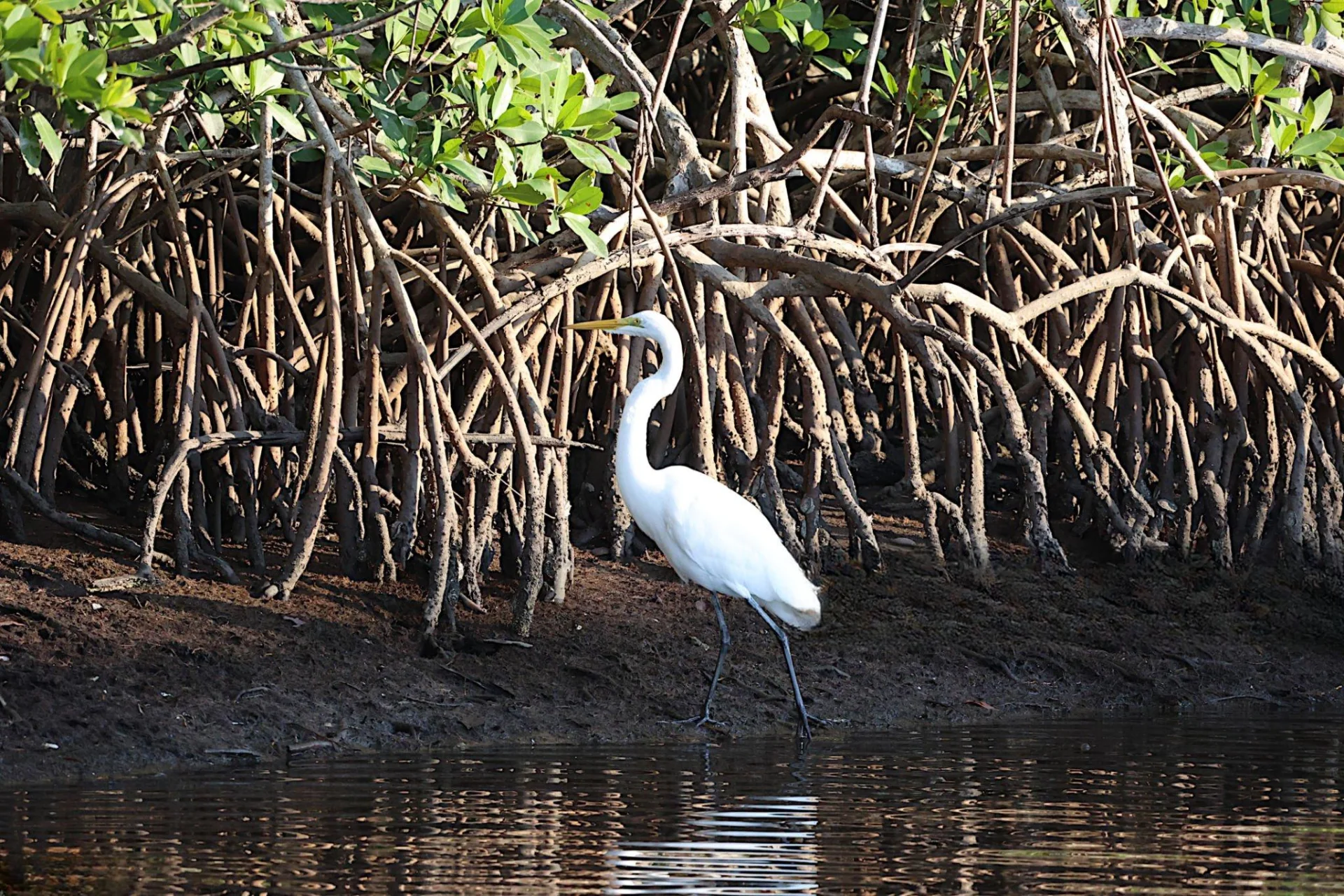
Kwale Island Marine Reserve
Kwale Island Marine Reserve offers a coastal nature and heritage experience in Mkinga District, Tanga Region. Located in the Pemba Channel around the Manza Bay and Kwale Bay area, this protected island belongs to the Tanga Marine Reserves system. Its mangrove landscape, birdlife and connections with coastal settlement make it a destination for a carefully arranged visit with knowledgeable local guiding. Plan the excursion from the mainland, with access and the daily programme confirmed before departure. Mangroves are a defining feature of Kwale. A guided outing can introduce the tidal shoreline and the relationship between the island, bay and wider marine habitats. Depending on permission and conditions, observation may be possible from a boat and from approved locations ashore. Give the landscape time: changing water levels, vegetation and quiet coastal views can be as interesting as a checklist of activities. Avoid assuming that a mangrove shore provides a sandy swimming beach or straightforward walking access. Birdwatching is one of the activities identified for the reserve. Bring binoculars and allow the guide to choose an appropriate observation position for the tide and the birds present. Keep noise low and leave feeding, resting or nesting birds undisturbed. Species and numbers vary through the year, so a visit should be valued for the habitat and the observation opportunities on the day. Photography works best when it respects wildlife distance and the group’s approved route. Kwale also has archaeological and community heritage. A published University of Dar es Salaam survey of the Tanga Bay vicinity recorded pottery on this Kwale Island, including Swahili Ware, and highlighted the need for further investigation. These findings add context to the history of human use along the northern coast. They do not establish a fully interpreted visitor site or a museum collection on the island. Discuss any heritage visit with a suitable guide, leave objects exactly where they are and seek permission before approaching remains or sensitive places. Tourism accounts also describe earlier settlement and local connections between the island and the mainland community. A local guide can help explain these accounts while distinguishing oral history from documented archaeological findings. Ask before photographing people, homes or working activities. Seasonal use of the island should not be taken to mean that shops, restaurants or visitor facilities will be available when you arrive. Confirm the practical arrangements for the particular excursion. A suggested two-day coastal stay begins with arrival at mainland accommodation and a relaxed Tanga-area orientation. Use this time to meet the organiser and confirm reserve access, the departure point, weather and the boat programme. On the second day, an arranged visit can combine coastal views, birdwatching, mangrove interpretation and any specifically approved heritage stop. The guide and skipper should determine the order around tide and access, with a clear return plan. This is an illustrative outline rather than a promise of a fixed schedule or a landing on every trip. Treat swimming, snorkelling, diving or kayaking as separately assessed possibilities. Ask an appropriate operator whether a suitable site and authorised activity are available for your dates, and confirm equipment, supervision and the experience required. The presence of reefs within the regional coastal ecosystem does not guarantee that a Kwale heritage or birdwatching boat trip includes a water-sports programme. Visitors who prefer to remain dry can plan an observation-focused excursion if the actual boarding and access arrangements suit them. Tanga Airport is a regional gateway to consider after checking currently operating flights and arranging the onward mainland transfer. A journey from Dar es Salaam or elsewhere needs its own road or flight plan. Ask the organiser to confirm the precise departure village, beach or jetty, realistic transfer times, passenger arrangements, suitable life jackets and entry permissions. Keep a buffer before onward travel, because tide, wind and sea conditions can change the excursion. Mainland accommodation is the practical starting point unless an overnight island arrangement is explicitly confirmed by the relevant authority and organiser. Request details of meals, drinking water, shade, toilets and changing arrangements, along with an itemised quote for transport, reserve admission and guiding. Pack sun protection, a light rain layer, a waterproof bag, binoculars and footwear matched to the approved route. June to September generally offers a drier coastal period; March to May is usually wetter, with shorter rains often from October to December. Local weather and sea assessments remain essential in every season. Kwale’s value lies in the combination of coastal habitats and human history. Support knowledgeable local guiding, respect community access instructions and keep the visit gentle on the reserve. Leave shells, plants, coral and archaeological material in place, follow the guide around mangroves and take all waste back to the mainland.
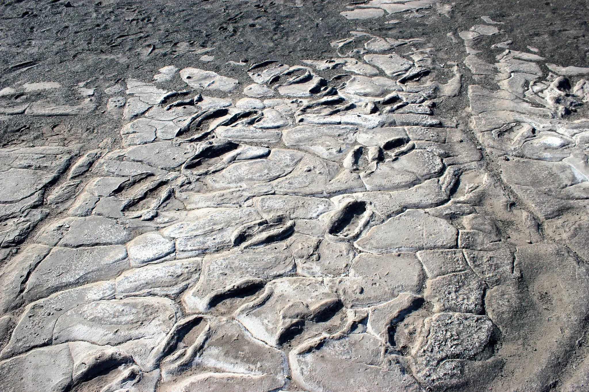
Laetoli Footprints
Laetoli Footprints preserve an extraordinary moment in the story of human evolution: early hominins walking across damp volcanic ash approximately 3.66 million years ago. Their steps survived as fossil impressions, offering direct evidence of upright walking long before modern humans appeared. A thoughtfully arranged visit connects the sweeping landscapes of northern Tanzania with one of the most compelling records of our distant past. A LANDSCAPE OF DEEP TIME Laetoli lies within Ngorongoro Conservation Area, near the southern edge of the Serengeti Plains, north of Lake Eyasi and west of Ngorongoro Crater. Its significance belongs to the wider archaeological heritage of the Ngorongoro UNESCO World Heritage property. It is part of that property rather than a separately inscribed World Heritage Site. The surrounding terrain is a living landscape of pastoral communities and protected natural habitats as well as an internationally important research area. WHY THE FOOTPRINTS MATTER Bones help scientists reconstruct anatomy; footprints record an action. At Laetoli, the fossil trail shows early hominins moving on two feet, with impressions that allow researchers to examine foot shape, stride and walking mechanics. The classic Site G tracks are generally attributed to Australopithecus afarensis, an early hominin species also represented by fossils in the geological sequence. That attribution is a scientific interpretation, not a species label that the prints alone can prove conclusively. The makers were not modern Homo sapiens. AN ANCIENT WALK PRESERVED IN ASH Damp volcanic ash received the footprints and later hardened into what researchers call the Footprint Tuff. Burial helped preserve these fragile surfaces through immense spans of time. The same geological record contains tracks of other animals, allowing the locality to be considered as an ancient environment rather than only a human trail. The exact source of the footprint-bearing ash has been debated, so a visit should focus on the preservation process without treating one named volcano as settled fact. DISCOVERY AND THE CLASSIC TRAIL Mary Leakey’s team identified fossil animal tracks in 1976. The famous hominin trail was discovered in 1978, with Mary Leakey and Paul Abell credited in the discovery history. The classic Site G trackway extends for approximately 27 metres and contains roughly 70 impressions. It has traditionally been interpreted as the work of three individuals, with some footprints overlapping. Its scale makes the story tangible, but the tracks do not establish a mother, father and child, the individuals’ sex, or where they intended to go. MORE THAN ONE TRACKWAY Research at Laetoli has continued beyond the original discovery. Additional hominin tracks found at Site S in 2015 were attributed to two individuals, expanding the picture of movement across this ancient surface. Sites G and S are distinct research areas within the larger locality. Photographs of an excavation or scientific measurements can help explain the findings, but they should not be confused with the present visitor experience or taken as evidence that the original tracks are permanently exposed. CONSERVATION COMES FIRST The original hominin footprints are exceptionally vulnerable to erosion, plant roots and disturbance. Protective reburial has played a major role in their conservation, alongside research and monitoring by Tanzanian authorities and conservation specialists. Presentation arrangements continue to develop. Visitors should expect the original hominin tracks to be protected and should not expect them on open display. Confirm current permitted stops with the Ngorongoro Conservation Area Authority and local site staff before travelling. WHAT A GUIDED VISIT CAN INCLUDE The official Ngorongoro Lengai Geopark southern route describes a Laetoli visitor centre with a life-size footprint model and interpretation, the excavation locality where hominin tracks are covered, and another ash exposure with fossil bird and small-mammal tracks. These provide different ways to understand the site, subject to current permission and access. A knowledgeable guide can connect the model, geology and research history while explaining why conserving the original surface is essential. The appeal is an educational encounter with human origins, rather than a promise to walk beside exposed ancient hominin prints. A STRONG COMPANION TO OLDUVAI Olduvai Gorge Museum displays footprint replicas and provides a useful complementary setting for learning about human evolution. Combining Laetoli’s landscape with Olduvai’s museum interpretation can make the science more accessible, especially for first-time visitors and families. A broader itinerary may also include Ngorongoro scenery or other permitted heritage stops. These places represent different discoveries and periods, so they should be understood together without treating every fossil or stone tool as the same age as the Laetoli trail. PLAN THE VISIT IN ADVANCE Arrange the route, guide, conservation-area requirements, any site permission and charges before departure. Laetoli should be included through a locally confirmed itinerary rather than an unplanned self-guided detour. Unpaved approaches and exposed ground can be affected by rain, while transfer times depend on the starting point and approved route. Check the current centre arrangements, viewing areas, facilities and walking distance. For visitors with limited mobility, request a specific terrain assessment; a life-size model does not by itself establish step-free access throughout the locality. SEASONS, COMFORT AND FAMILY TRAVEL June to October generally brings drier regional conditions and may simplify road travel. Long rains around March to May and shorter rains later in the year can alter access, so conditions need local confirmation. The scientific interest does not depend on migration timing. Carry water, sun protection and sturdy closed shoes, with a light layer for cooler highland transfers. Families can make the experience engaging by comparing foot shapes and discussing how a footprint differs from a bone fossil, while keeping children supervised near fragile deposits and excavation edges. HELP KEEP THE STORY IN PLACE Follow the guide’s approved route, respect closures and never enter covered track areas or excavation pits without specific permission. Do not dig, collect fossils, touch or trace impressions, or leave marks on the deposits. Photography, specialist filming and drone use should follow current local permissions. Treat neighbouring communities respectfully and ask consent before photographing people. TanzaLux can help plan a heritage-focused northern Tanzania journey with Laetoli’s access arrangements confirmed before travel.
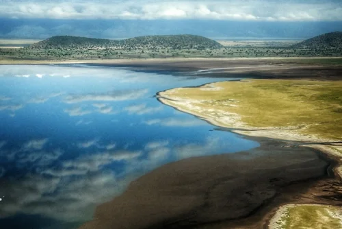
Lake Burunge
Lake Burunge is one of northern Tanzania's quieter safari landscapes, offering a combination of lake scenery, wildlife, birdlife, community conservation and easy access to Tarangire and Lake Manyara. The lake lies within the wider Burunge Wildlife Management Area in Manyara Region. This community-conserved landscape forms part of the important Tarangire–Manyara ecosystem and helps maintain habitat used by wildlife moving through the wider region. Lake Burunge itself is an important habitat for birds and mammals that visit the area for water. Greater and lesser flamingos may occur here, together with ducks, shorebirds and other migratory waterbirds. Flamingo numbers and distribution vary according to water levels, food availability and seasonal conditions, so sightings should never be guaranteed. The surrounding savanna supports animals such as elephants, buffalo, giraffes, wildebeest, zebra, impala and other species that move through the wider Tarangire–Manyara landscape. Unlike a conventional national park, Burunge is a Wildlife Management Area. This means local communities play a central role in conservation and tourism. Tourism revenue can support community projects, employment, ranger operations and local development while helping protect habitat outside neighboring national parks. For travelers, Lake Burunge offers a slower safari experience. Depending on the lodge and current local arrangements, experiences can include guided walks, birdwatching, cycling, photography and cultural activities alongside traditional wildlife viewing. Its location is also highly practical. Lake Burunge can be included before or after a safari in Tarangire National Park and combined easily with Lake Manyara, Mto wa Mbu, Karatu, Ngorongoro and other Northern Tanzania destinations. With TanzaLux Safaris, Lake Burunge can be incorporated into a private safari for travelers who want wildlife and scenery without spending every day inside a busy national park.
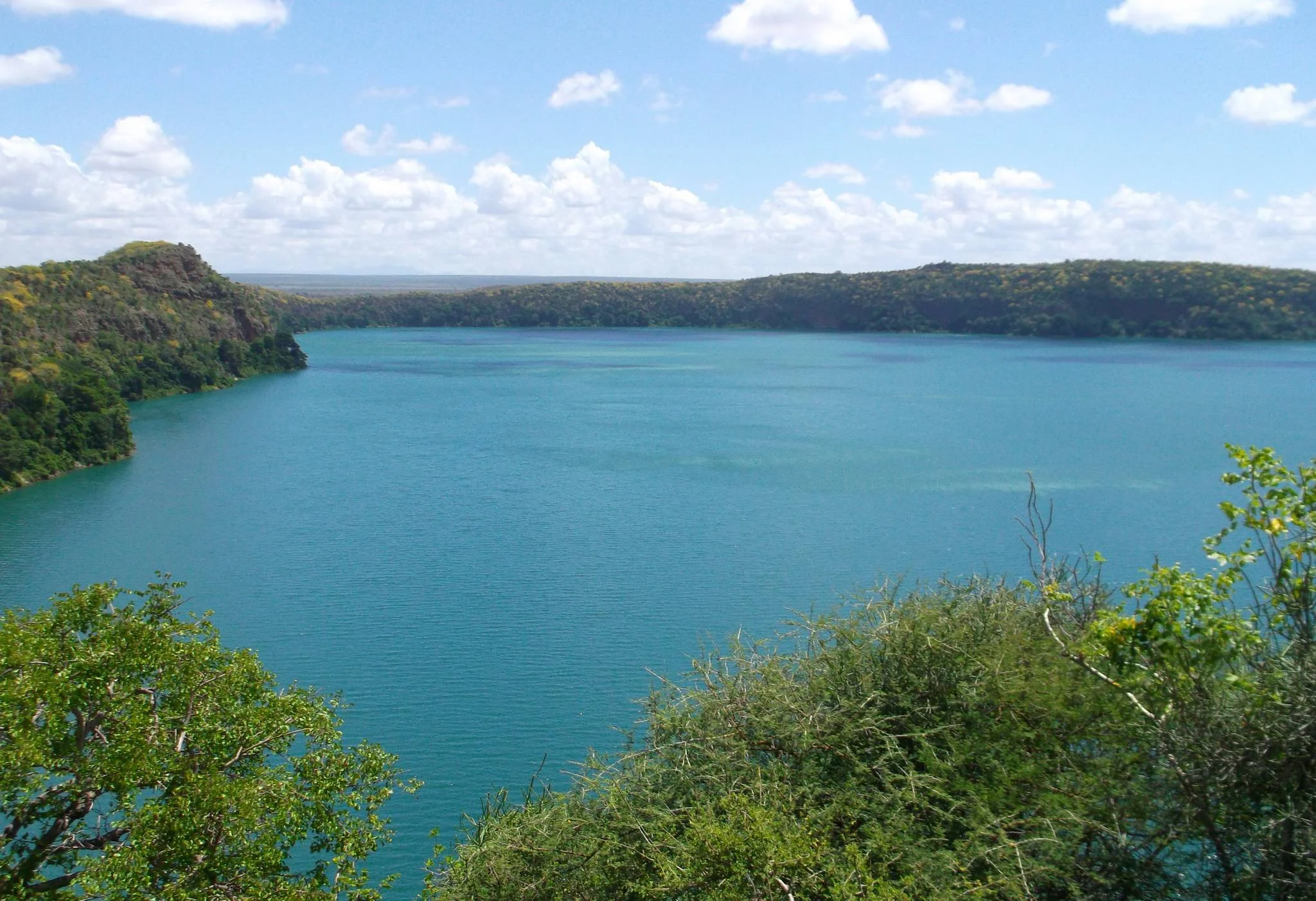
Lake Chala
Lake Chala is a striking freshwater crater lake on the Tanzania–Kenya border, east of Moshi and on the southeastern side of the Kilimanjaro landscape. Steep crater walls enclose the water, creating a dramatic contrast between the open country outside and the greener vegetation within the basin. Also written as Lake Challa, it is a rewarding destination for travellers who want a day of nature, walking and scenery alongside a Kilimanjaro trip or a wider northern Tanzania safari. The lake’s most memorable feature is its setting. From an approved viewpoint, the crater opens beneath you, with blue, turquoise or green tones changing with light, weather and viewing angle. The colours in photographs should be treated as a moment in time rather than a promise of what you will see. Lake Chala is supplied by underground water associated with the Kilimanjaro area, and its enclosed form makes the landscape feel very different from Tanzania’s broad, shallow lakes. It is a deep lake, so the shore should not be treated as a casual swimming beach. A guided walk provides a close introduction to the crater landscape. Routes can include viewpoints near the rim and, when appropriate, a descent towards the lakeshore. The descent and return climb require more effort than simply stopping at an overlook. Loose stones, steep sections, exposed ground and wet weather can change the difficulty. Your guide should select a route suited to the group’s walking ability and the conditions on the day. A visitor who prefers a gentler outing can focus on viewpoints and a relaxed meal stop without committing to every trail. Birdwatching and nature photography are good reasons to slow down. Look for birds moving along the crater walls and among the trees, and use binoculars to enjoy distant sightings without leaving the approved path. Fish eagles and other birds of prey are associated with the area, while primates and smaller wildlife may be encountered in the surrounding habitats. These sightings are incidental and variable: Lake Chala is primarily a scenic nature destination, and it should not be booked on the expectation of a large-mammal game drive. The lake also supports the distinctive Lake Chala tilapia, adding to its ecological interest without guaranteeing a visible fish encounter. Kayaking can be an appealing addition when it is currently available and conditions are suitable. Confirm equipment, supervision, the approved route, life jackets and any separate charge before booking. Wind and operating arrangements may change the plan, so the land-based visit should remain worthwhile even if kayaking cannot take place. Stay within the route set by the activity team rather than treating the international boundary as part of an unrestricted paddling excursion. Swimming is not included in the suggested visit; enjoy the lake from the viewpoints, approved shore areas or an authorised kayak activity. Moshi is a practical base for a day trip. The road journey is commonly around one and a half hours, depending on the hotel, traffic and the final access track. A relaxed day can combine a guided walk, time at the lake and a pre-arranged lunch before returning to Moshi. Guests starting in Arusha need a longer transfer and should consider whether an overnight stop better suits their itinerary. Camping or lodge accommodation may be arranged locally, subject to the current facilities and availability. June to October is generally a useful dry-season window for walking, while January and February can also be appealing between wetter periods. Rain brings greener scenery but may make trails slippery and local tracks more difficult. Water activities depend on the actual weather rather than a season label. Bring closed walking shoes, sun protection, drinking water and a small day bag, with a light layer or rain jacket as conditions require. TanzaLux can shape the outing around your interests, from an easy scenic stop to a more active guided walk with optional kayaking. Confirm the entrance and applicable conservation charges, guiding, hotel transfer, meals, equipment and any overnight arrangements in an itemised quotation. Keep litter out of the crater, avoid feeding wildlife and follow the local team’s directions around the rim and shoreline.
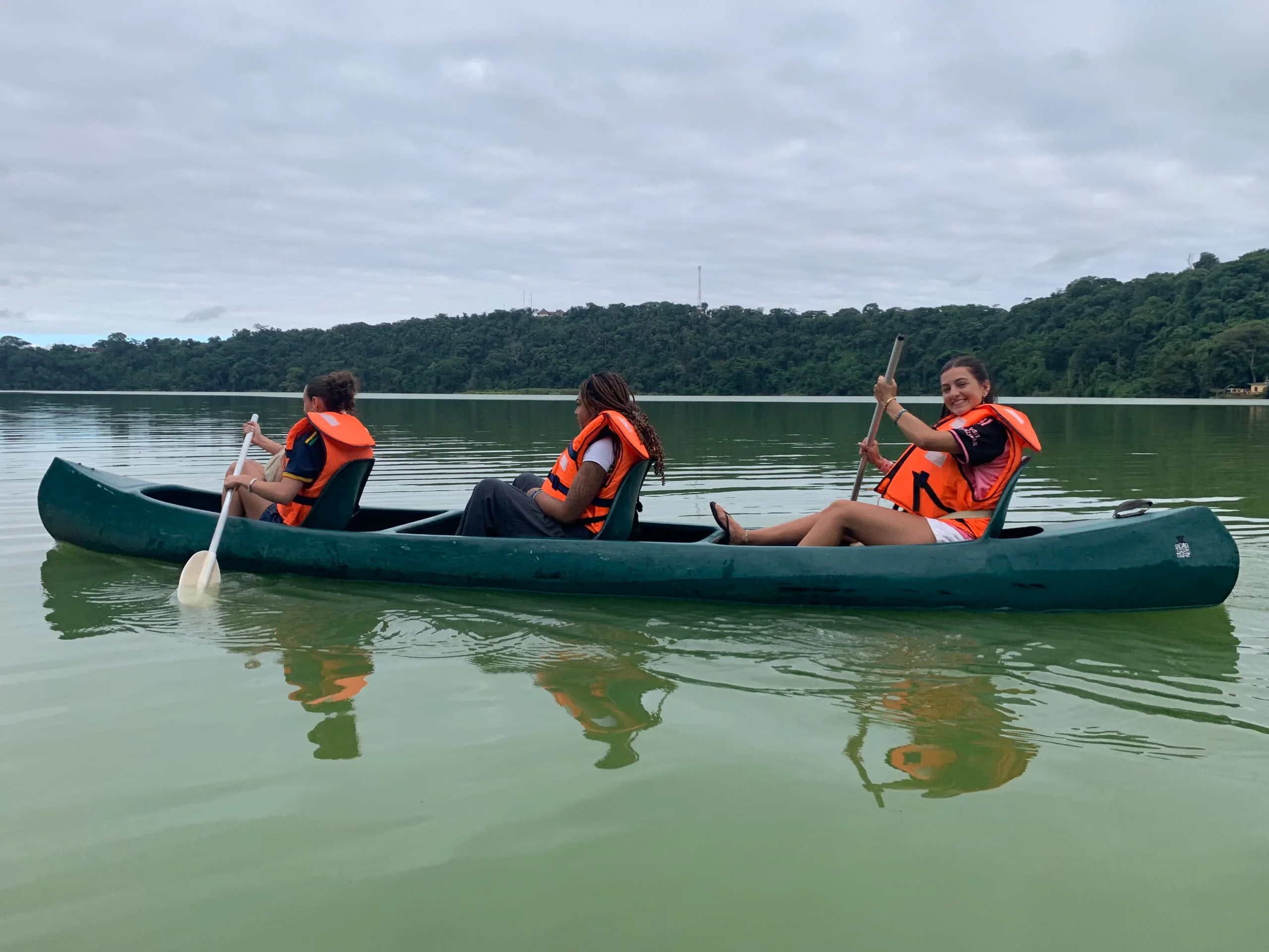
Lake Duluti
Lake Duluti is one of the most peaceful nature destinations near Arusha, Tanzania. Set within a volcanic crater and surrounded by green forest, the lake offers a refreshing contrast to the busy rhythm of the city and the long travel days often associated with a Northern Tanzania safari. Located near Tengeru in the Arusha Region, Lake Duluti lies close to the Arusha–Moshi road and is easily accessible from Arusha. Its calm waters, forested surroundings, and volcanic setting make it an attractive destination for travellers who want to experience Tanzania’s natural beauty without travelling deep into a national park. The lake is associated with the volcanic landscapes of Mount Meru and is sustained mainly by groundwater and rainfall rather than a visible surface river flowing into or out of it. The surrounding Lake Duluti Forest Reserve protects a moist forest environment that supports a variety of trees, birds, reptiles, monkeys, and other small wildlife. Canoeing is one of the most popular experiences at Lake Duluti. Drifting quietly across the water allows visitors to appreciate the forest from a different perspective while watching for kingfishers, herons, African fish eagles, cormorants, and other water and forest birds. Depending on the conditions and the chosen activity, visitors may explore sections of the shoreline or enjoy a guided boat experience. The forest surrounding the lake is equally important. Guided nature walks provide opportunities to observe indigenous vegetation, insects, reptiles, monkeys, and smaller forest species. The shaded trails are suitable for travellers who prefer a slower, more immersive experience focused on nature, photography, and relaxation. Lake Duluti can also be combined with cultural activities around Tengeru, including coffee experiences, village visits, traditional Meru cultural activities, and local community-based tourism. These experiences allow visitors to connect the landscape with the people, farming traditions, and everyday life of the region. The destination is suitable for couples, families, solo travellers, birdwatchers, photographers, nature lovers, and visitors with limited time in Arusha. It can be visited before a safari, after a safari, during a free day in Arusha, or as part of a wider itinerary that includes Mount Meru, Arusha National Park, Mount Kilimanjaro, Materuni Waterfalls, or the Northern Safari Circuit. With TanzaLux Safaris, your Lake Duluti experience can be tailored around your interests, whether you prefer a quiet canoe ride, a guided forest walk, birdwatching, photography, a picnic, or a combination of nature and cultural activities near Arusha.
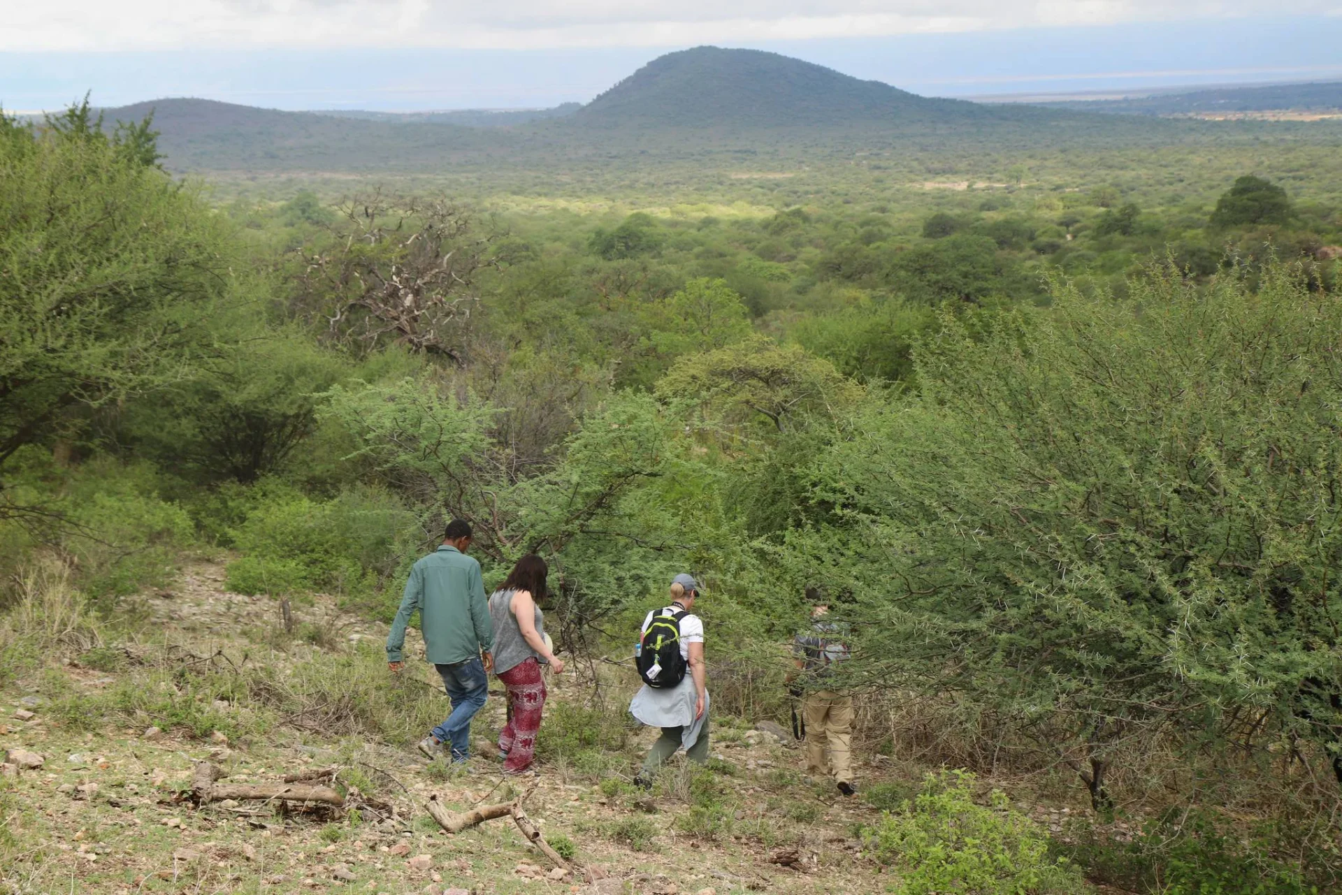
Lake Eyasi
Lake Eyasi is one of northern Tanzania’s most distinctive off-the-beaten-path destinations. Situated on the floor of the Great Rift Valley, southwest of the Ngorongoro Highlands, the lake is surrounded by dry woodland, acacia scrub, rocky landscapes, seasonal wetlands, and dramatic escarpments. Unlike the famous wildlife destinations of the Northern Safari Circuit, Lake Eyasi offers a different kind of travel experience. The area is best known for its living cultural heritage, particularly the Hadzabe and Datoga communities who have strong historical and cultural connections to the surrounding landscape. The Hadzabe are an Indigenous hunter-gatherer people whose traditional livelihoods include gathering wild foods, hunting, and maintaining detailed knowledge of the local environment. During a locally arranged visit, travellers may have the opportunity to learn about traditional tracking, the use of bows and arrows, fire-making techniques, wild foods, and the relationship between the Hadzabe and their natural surroundings. The Datoga are a pastoralist community found in the wider Lake Eyasi region. Some Datoga communities are also recognised for their metalworking skills. A cultural visit may include observing traditional blacksmithing, jewellery-making, or the production of practical tools. Activities depend on the community visited and should always be arranged through trusted local guides. Lake Eyasi itself is a shallow, seasonal alkaline lake with dramatically changing water levels. During wetter periods, the lake can attract flamingos, pelicans, storks, and other waterbirds. In dry periods, parts of the lake may recede considerably, exposing salt-encrusted surfaces and creating a stark, photographic landscape. The surrounding region also offers opportunities for guided nature walks, birdwatching, landscape photography, cultural learning, and visits to nearby archaeological or historical sites where access is permitted. Lake Eyasi is best experienced slowly and respectfully. It is suitable for travellers who want to understand Tanzania beyond wildlife viewing and who appreciate meaningful encounters, local knowledge, cultural diversity, and remote landscapes. TanzaLux Safaris can include Lake Eyasi in a personalised Northern Tanzania itinerary, particularly alongside Ngorongoro Crater, Karatu, Lake Manyara, Serengeti National Park, or other cultural destinations.
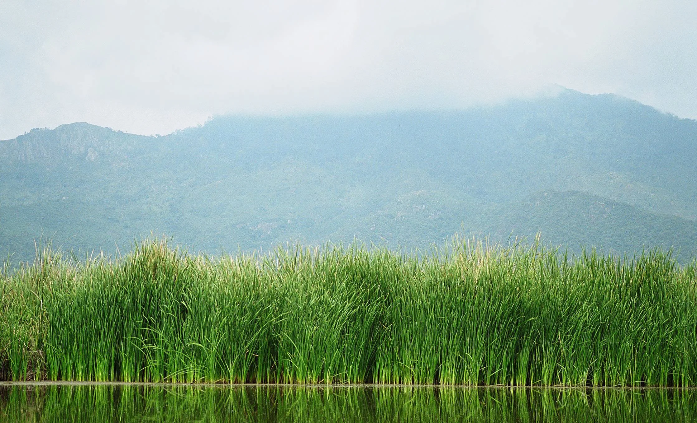
Lake Jipe
Lake Jipe brings a different rhythm to a northern Tanzania journey: reed-fringed water, broad wetland views, fishing livelihoods and time to watch the landscape closely. The lake straddles Tanzania and Kenya, with its Tanzanian shore in Mwanga District of Kilimanjaro Region, east of the North Pare Mountains. It suits travellers who enjoy birds, photography and locally guided nature experiences, and who want to explore beyond the busiest safari stops. The setting is a shallow freshwater lake surrounded by marshes and vegetation. Open water and reed beds form a changing mosaic rather than a fixed shoreline promenade. The Lumi River links the lake’s catchment to the Kilimanjaro area, while water also comes from the Pare Mountains. Its outlet connects with the wider Pangani river system. This geography gives Jipe an important role in the surrounding landscape: water, wildlife and community livelihoods meet here. Views can be especially atmospheric when the light softens, although the exact scene depends on the season, lake level and chosen access point. Birdwatching is one of the strongest reasons to visit. A local guide can help you scan the open water, reed edges and surrounding vegetation, selecting stopping places that suit current access. Bring binoculars and spend time listening as well as looking. Waterbirds may be feeding, flying between patches of habitat or partly hidden among the reeds, so a slower visit is more rewarding than a quick photograph and departure. Dedicated birders should explain their priorities before booking so that the programme allows observation time and uses a guide with suitable bird knowledge. Species and numbers vary; a particular sighting cannot be promised. Hippos and crocodiles are part of Lake Jipe’s wildlife, and other animals may use the wider wetland landscape. Enjoy observations from positions selected by your guide. Keep away from the water’s edge and animal routes, avoid feeding wildlife and do not move closer for a photograph. A Tanzania-side visit offers a wetland experience, with no guarantee of elephants or the large-mammal variety associated with a full national park game drive. Swimming and wading are excluded from the suggested programme. A boat or canoe excursion can add another perspective if a suitable local operator, equipment and safe conditions are available. It must be arranged as a supervised activity with a briefing, correctly fitting life jackets and an agreed route. Water levels, dense reeds, wind and wildlife can affect what is practical on the day. The group should be comfortable with a shore-based alternative if the boat trip cannot operate. Kayaking is not an automatic inclusion and must be confirmed separately. The lake crosses an international boundary, but the proposed outing stays within the authorised Tanzania-side route. The lake is also a working landscape. A pre-arranged community visit can introduce visitors to the role of fishing and the everyday relationship between people and the wetland. Let hosts lead the conversation and explain what they are comfortable sharing. Ask permission before taking portraits or photographing work, boats and homes at close range. Visits should be paid and organised respectfully, with the timing agreed in advance; an arrival at the shore should not be treated as an invitation to enter a village or interrupt a livelihood. Recreational fishing is only an optional activity where the relevant local permissions, methods and arrangements have been confirmed. For many visitors, a full day from a Moshi-area base provides a sensible pace. A programme can combine road transfers, a guided nature visit, birdwatching, an optional boat activity and a packed or pre-arranged lunch. Arusha involves a longer transfer, while an overnight stop in the wider area can make a slower itinerary possible. Confirm the actual accommodation, facilities and meals rather than assuming a lodge or campsite is available at every lakeside access point. Pare Mountain walking or Mkomazi National Park can be considered as separate additions with enough travel time and their own access arrangements. June to October generally offers a useful drier-season window for road access and outdoor exploration. January and February may also work well, while the main and short rains can bring greener surroundings and changing birdlife. Lake conditions matter as much as the calendar: reeds and fluctuating water levels can affect access even when the weather is dry. Check the local situation before setting out and leave room for the guide to adapt the route. TanzaLux can plan Lake Jipe around your interests, group size and walking ability. Agree the landing or meeting point, guiding, transport, boat arrangements, applicable local charges, meals and return schedule in an itemised quotation. Pack binoculars, a camera, closed walking shoes, drinking water, sun protection and a weather-appropriate layer. Carry your litter out and choose locally organised experiences that respect both wildlife and the people who depend on the lake.
Lake Manyara National Park
Lake Manyara National Park is one of Tanzania’s most diverse and scenic safari destinations, located along the northern safari circuit at the foot of the Great Rift Valley Escarpment. Covering approximately 648.7 km², the park brings together groundwater forests, open floodplains, acacia woodland, wetlands, hot springs and the alkaline waters of Lake Manyara in a remarkably compact landscape. The park is particularly famous for its tree-climbing lions, large-tusked elephants, colorful birdlife and seasonal gatherings of flamingos. The groundwater forest near the park entrance provides habitat for blue monkeys, baboons and many forest birds, while the floodplain and lakeshore support giraffes, buffalo, zebras, wildebeest, hippos and numerous waterbirds. Lake Manyara is also an excellent destination for birdwatching, photography and scenic game drives. More than 400 bird species have been recorded in the park, including flamingos, pelicans, storks, herons, fish eagles, bee-eaters and other resident and migratory species. For travelers exploring northern Tanzania, Lake Manyara works particularly well as part of a private safari itinerary linking Tarangire, Ngorongoro Crater and Serengeti. It can also be visited as a day safari from Arusha or combined with a cultural experience in nearby Mto wa Mbu. With TanzaLux Safaris, travelers can experience Lake Manyara through a private, carefully planned safari focused on wildlife, photography, scenery, birdlife and authentic northern Tanzania experiences.
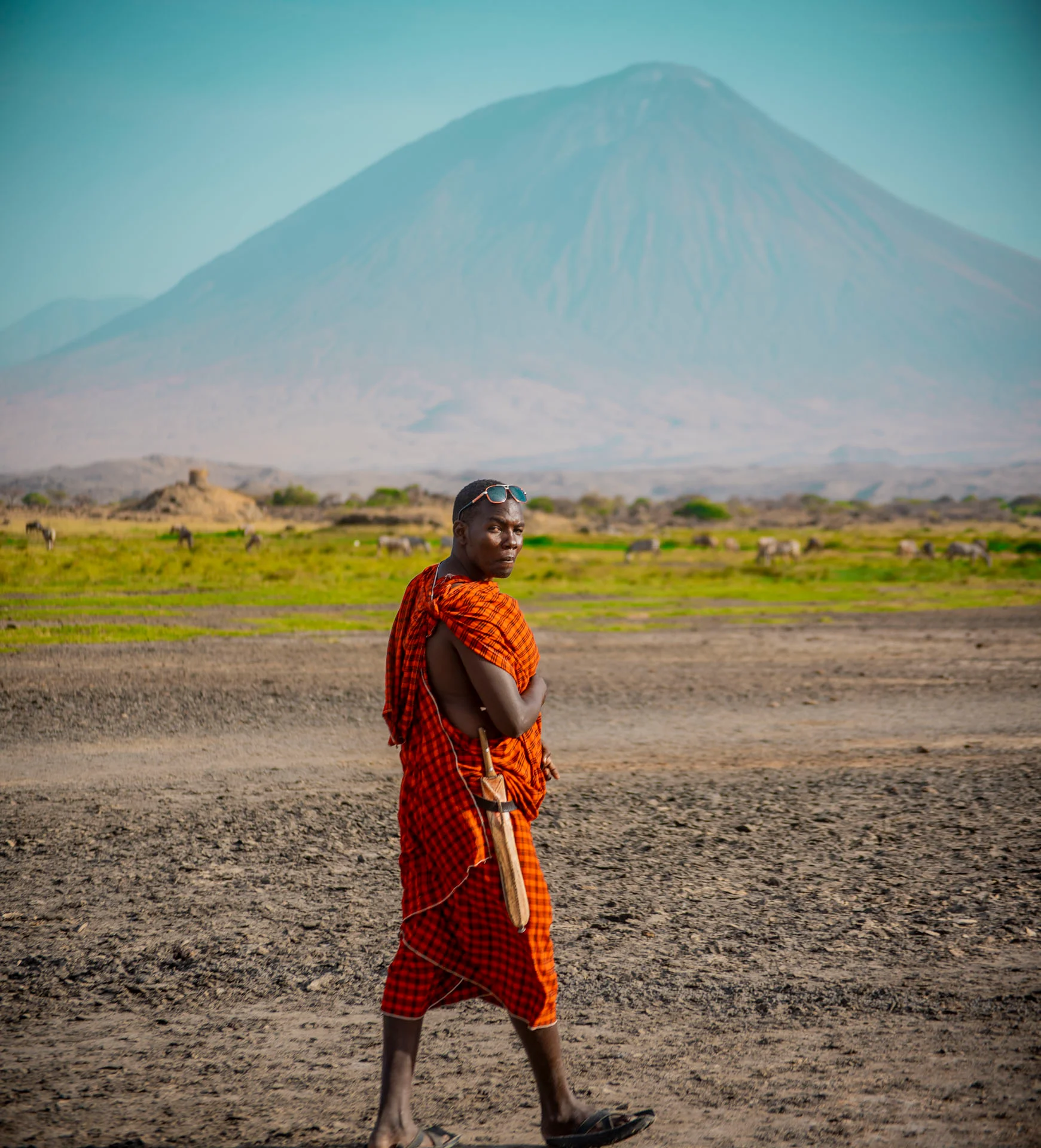
Lake Natron
Lake Natron is one of Tanzania’s most unusual and visually striking destinations. Located in the eastern branch of the Great Rift Valley in northern Tanzania, the lake lies among volcanic plains, rugged escarpments, dry savannah, and mountains shaped by millions of years of geological activity. The lake is best known for its highly alkaline and mineral-rich waters, which create a distinctive environment where only specially adapted organisms can thrive. High evaporation concentrates minerals such as sodium carbonate and other salts, while algae and microorganisms contribute to the lake’s changing shades of pink, red, orange, and pale mineral white. The colour of the water and surrounding salt flats varies according to rainfall, water levels, sunlight, algae, and seasonal conditions. Lake Natron is internationally important because it provides one of the most significant breeding habitats for lesser flamingos. The lake’s shallow alkaline waters and remote nesting areas can offer protection from many predators, while the surrounding ecosystem provides food for these specialised birds. Flamingo numbers and breeding activity vary according to rainfall, water levels, food availability, and environmental conditions, so sightings cannot be guaranteed during every visit. The landscape surrounding Lake Natron is equally impressive. The active volcano Ol Doinyo Lengai rises dramatically nearby, while the Great Rift Valley creates a backdrop of volcanic hills, deep escarpments, lava formations, and wide open plains. The area is also associated with the Ngorongoro–Lengai Geopark, which contains important geological, archaeological, cultural, and natural attractions. Lake Natron offers much more than birdwatching. Visitors can enjoy guided lakeshore walks, lesser flamingo observation, landscape photography, birdwatching, hikes to the Ngare Sero Waterfalls, geological excursions, and respectful cultural experiences with Maasai communities. Adventure travellers may also use the area as a base for climbing Ol Doinyo Lengai, known in the Maasai language as the “Mountain of God.” Unlike the classic safari destinations of Serengeti, Ngorongoro, and Tarangire, Lake Natron is primarily celebrated for its unique ecosystem, volcanic scenery, birdlife, cultural heritage, and remote atmosphere. It is an excellent choice for travellers who want to explore a less conventional side of northern Tanzania. With TanzaLux Safaris, your Lake Natron experience can be customised around your interests, travel dates, preferred pace, and wider Tanzania itinerary. Your journey can include flamingo viewing, waterfall walks, Maasai cultural experiences, Ol Doinyo Lengai, or a longer Northern Circuit adventure.
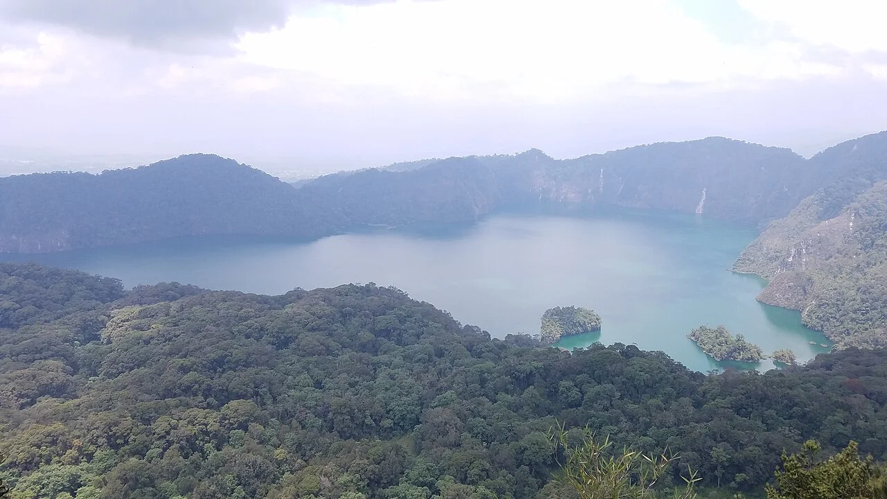
Lake Ngozi
Lake Ngozi: a forest journey to a remarkable volcanic lake Lake Ngozi is one of the most memorable walking destinations in Tanzania’s Southern Highlands. The reward is a broad lake enclosed by steep, forested caldera walls, seen from a high viewpoint after a climb through montane vegetation. Often appearing green beneath the surrounding slopes, the water gives the landscape a quiet, almost hidden character. The experience begins well before the viewpoint: changing vegetation, forest sounds and the gradual ascent make the journey as engaging as the final view. Also spelled Lake Ngosi, the destination is in Mbeya Region, in the Poroto or Mporoto highland landscape near the route between Mbeya and Tukuyu. It belongs to a forest and volcanic setting, rather than a national-park game-drive itinerary. Tanzania Forest Services manages the destination within the wider Mount Rungwe and Poroto forest-reserve landscape. Agree the actual lake route, meeting point and access arrangements before travel, as descriptions of the wider reserve can also refer to other highland attractions. The lake and its volcanic setting Ngozi occupies part of a volcanic caldera, a large basin associated with the volcano’s eruptive history. The lake is approximately two and a half kilometres long and one and a half kilometres wide, with steep slopes enclosing much of its shoreline. From the rim, the relationship between water, forest and the surrounding landform is especially striking. Look beyond the colour of the water to the shape of the basin and the way vegetation covers its walls. It is useful to distinguish the lake’s elevation from the volcano’s highest ground. The lake surface is roughly 2,060 metres above sea level, while the Smithsonian volcano profile gives an elevation of 2,614 metres for Ngozi volcano. These are different measurements. Likewise, avoid describing Ngozi as an extinct volcano simply because the tourist viewpoint is peaceful: its geological history includes an eruption recorded around the fifteenth century. Research has also identified hydrothermal inputs in the lake. That makes Ngozi scientifically interesting, but a past research assessment is not a substitute for current visitor guidance. This itinerary focuses on approved forest walking and rim viewpoints. Swimming, drinking untreated lake water, independent shoreline exploration and boating are not presented as included visitor activities. Follow current instructions from the responsible site staff and your guide. The guided walk to the crater rim The main visitor experience is a guided ascent through the forest to an approved viewpoint on the crater rim. The path can include sustained climbing, roots, uneven ground and slippery sections after rain. Forest shade and highland air can make the walk pleasant, but they do not remove the need for suitable footwear, fitness and a realistic pace. A local guide helps identify the route and interpret the landscape along the way. Ask for the current walking distance, elevation gain, trail condition and expected return time before booking. Published estimates may describe only an ascent or a different starting point. Allow for rest stops, photography and the return descent, as well as your road transfers. If visibility is poor, the route is closed or your group is tiring, adapt the plan with your guide instead of pushing on to meet a fixed photograph or timetable. At the viewpoint, remain on the permitted ground and well away from exposed edges. Tree cover, fog and clouds can influence how much of the lake is visible. A clear panorama is a rewarding possibility, not a promise. Do not assume that a track heading downhill is a safe or authorised route to the water. Any proposed descent requires separate confirmation of permission, conditions, guiding and the effort needed to climb back out. Forest life and careful observation The montane forest is an attraction in its own right. Tourism descriptions mention colobus monkeys, forest birdlife, three-horned chameleons and wild banana vegetation. Sightings vary with the route, weather and the animals’ behaviour. Walk quietly, pause when your guide hears a call and use binoculars to observe from a distance. A forest outing rewards patience more than a long list of guaranteed species. Chameleons can be difficult to spot among vegetation. Ask a guide to help you look without handling animals or moving branches unnecessarily. Do not feed monkeys, use recorded calls to attract birds or approach nests. The nearby Mount Rungwe landscape has its own conservation importance, including the kipunji monkey, but that does not make a Lake Ngozi rim walk a guaranteed kipunji encounter. Arrange specialised wildlife interests separately. Photography and time in the forest For photographers, Ngozi offers both a broad landscape and smaller details. From a secure viewpoint, frame the lake with the surrounding forest or focus on the shape of the caldera walls. Along the path, look for vegetation, light filtering through the canopy and textures that tell the story of the climb. Stay with the guide and ask before stepping off the route to take a picture. Carry camera protection for rain and moisture, and keep batteries and essential items dry. Avoid setting up equipment where it blocks the path or encourages standing close to a drop. Cloud can move across the scene quickly, so leave time to enjoy the atmosphere even when the full lake view is briefly hidden. Drone operations require separate permissions and should not be assumed to be part of a standard hiking visit. Choosing when to go Regional government guidance describes rains roughly from October to May and a colder, drier period from June to September. Drier months can make walking and local road access more convenient, although forest trails may still be damp. Highland weather can change quickly, and fog may occur outside the rainy season. Check the local forecast and current route conditions shortly before departure. A wet-season walk can offer lush surroundings, but rain may make roots and slopes more slippery or reduce visibility at the rim. Keep the schedule flexible and accept a guide’s recommendation to shorten or postpone a hike when needed. There is no need to promise a fixed best month: choose dates that suit your fitness, comfort and wider itinerary, then confirm conditions close to travel. Getting there and accommodation Mbeya is a practical regional gateway, while Tukuyu can suit an itinerary continuing through the highlands. Tanzania Forest Services identifies Songwe International Airport, regional road travel and rail travel to Mbeya as ways to reach the area. Current transport schedules and onward road connections must be checked for your dates. Arrange the final transfer to the agreed Lake Ngozi trailhead rather than using a general reserve distance as an exact lake-access estimate. TFS lists routes towards the wider reserve via Iduda and Mchangani, but your organiser should confirm which approach is appropriate for the lake hike, the vehicle needed and the current meeting point. Accommodation can be considered in Mbeya or Tukuyu. Camping in the wider reserve requires confirmed permission, location and services; do not assume there is a serviced campsite at the lakeshore or that an overnight stay is included. What to bring and who the hike suits Bring walking shoes or boots with dependable grip, drinking water, a small daypack, a rain layer and a warmer layer for cool or windy conditions. Carry any personal essentials and enough food for the agreed outing. Ask where toilets and refreshments are available before setting out. Trekking poles may help on uneven or descending sections if you are comfortable using them. The hike is best planned for travellers who enjoy active outdoor exploration. Families should assess the route for their children’s age and stamina and supervise them closely near the rim. Visitors with limited mobility should request a specific assessment of surfaces, slopes and assistance; this is a forest hiking destination and should not be advertised as automatically wheelchair accessible. Share your walking preferences before the itinerary is finalised. Culture, conservation and a broader itinerary The lake has cultural significance to local communities. Listen respectfully to local interpretation and ask permission before visiting ritual places or photographing people. Stories and traditions should be presented as cultural accounts, without claiming that the water has proven medicinal powers. Protect the forest by staying on approved paths, taking litter out and leaving plants, animals and natural objects undisturbed. Lake Ngozi can be paired with a longer Southern Highlands journey that includes separately planned visits around Mount Rungwe, Kitulo National Park, Mbozi Meteorite or Lake Nyasa. These destinations require their own travel time and arrangements. A balanced itinerary gives the hike enough space, with a comfortable regional overnight stay rather than a rushed chain of distant stops. Plan your Lake Ngozi hike with TanzaLux Tell TanzaLux your dates, starting point, walking experience and interests. Your trip can bring together locally confirmed access, suitable guiding, road transfers and accommodation. Ask the proposal to specify current fees, services and the intended route. With careful preparation, Lake Ngozi becomes a rewarding forest adventure and an opportunity to appreciate the Southern Highlands’ volcanic scenery at a thoughtful pace.
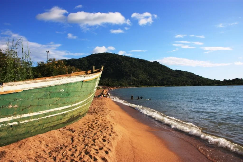
Lake Nyasa
Lake Nyasa offers a different rhythm of travel in southern Tanzania: broad freshwater horizons, mountain-backed shores, fishing settlements and time to explore with local hosts. Also called Lake Malawi and Lake Niassa, it connects the landscapes and livelihoods of Tanzania, Malawi and Mozambique. This guide focuses on the Tanzanian shore, where Matema, the Ludewa lakeshore and the Mbamba Bay area provide different starting points for a visit. Choosing the right shore is the first step towards a rewarding journey. THE LAKE AND ITS LANDSCAPE This is a large, deep lake within the East African rift system. Its surface covers roughly 29,500 square kilometres and its deepest waters reach around 700 metres; those figures describe the whole lake, rather than the depth beside an individual beach. Hills, escarpments, sandy stretches and rocky shorelines give the landscape variety. On parts of the Tanzanian side, the Livingstone Mountains create a striking backdrop. A visit can be as simple as enjoying a shore viewpoint, or form part of a longer journey between carefully selected bases. The lake’s scale matters when planning. Lake Nyasa is a destination region, not one attraction with a single entrance gate, visitor centre or road transfer. Two properties described as being on the lake may sit far apart and require quite different journeys. Select your overnight location before booking flights or estimating travel time. A relaxed stay at one base will often be more rewarding than trying to cover multiple distant shores in a short visit. NORTHERN SHORE: MATEMA AND THE KYELA AREA Matema Beach lies in Kyela District, Mbeya Region, near the northern end of the lake. Its combination of sand, mountain scenery and village life makes it a practical lakeside addition to a Mbeya-area itinerary. Visitors can plan shore walks, photography and locally hosted cultural experiences, with suitable routes and access checked on arrival. Fishing is part of everyday life, so leave landing spaces and equipment clear and let a host explain where guests are welcome. Pottery provides a distinctive reason to spend time here. Kisi women potters are documented in Matema and nearby Ikombe, where making and selling pots contribute to household livelihoods. Arrange a visit with participating artisans rather than assuming a public workshop operates on a fixed schedule. Demonstrations, purchases and photography should be agreed with the host. Ikombe access may be by road or boat; confirm the appropriate option locally. EASTERN SHORE: THE LUDEWA LAKESHORE Ludewa District in Njombe Region includes Lake Nyasa shoreline destinations such as Manda and Lupingu. This part of the lake can interest travellers building a journey through Njombe and the Southern Highlands. It requires its own transport and accommodation plan, rather than being treated as a quick extension from Matema. The selected village, property and final approach determine the practical route. Consider this shore for a slower itinerary centred on landscape, locally hosted visits and time beside the water. Confirm the exact walking route or viewpoint you intend to visit, including any property boundaries or local arrangements. A dramatic escarpment photograph does not establish that a path is an easy walk. Tell your organiser about mobility needs, preferred activity level and comfort expectations so the programme can be matched to the group. RUVUMA SHORE: MBAMBA BAY AND LIULI Farther south along Tanzania’s shore, Mbamba Bay and Liuli are in Nyasa District, Ruvuma Region. Mbamba Bay is a lakeside town and port destination, with the Songea and Mbinga road approach relevant to many itineraries. Liuli offers another lakeshore setting that can be considered when logistics are suitable. Choose this area when it fits your wider southern Tanzania journey. Allow time to settle in, meet a local host and enjoy the shore rather than arriving after a long transfer and leaving immediately. Visits to working harbour areas depend on access arrangements; a port is a transport workplace, not automatically a tourist attraction open everywhere. Photographs of past ferry activity are useful historical views, but do not confirm which ship or sailing is available today. WHAT TO DO ON A LAKE NYASA VISIT Shore-based experiences are the easiest foundation for a flexible programme. Enjoy a suitable beach section, take landscape photographs, join a hosted settlement walk or arrange a meal with your accommodation. Early and late light can be rewarding for photography, but choose the viewpoint and timing according to the weather. Ask before photographing residents, boats in use, homes, businesses or fish handling. Hosts can help make introductions and explain local livelihoods without interrupting work. An optional boat or canoe outing can give a different view of the shoreline when a suitable operator is available. Confirm the vessel, lifejackets, route, landing arrangements, duration and conditions before departure. Dry weather does not mean calm water, and wind or waves may require a cancellation. Guided hill, mountain or waterfall walks need a specific route and local arrangements. Neither a boat trip nor a hike should be assumed to be included at every lakeside property. FRESHWATER BIODIVERSITY Lake Nyasa is renowned for diverse freshwater fish communities, particularly cichlids, many of which occur naturally only in this lake. This ecological importance concerns the lake as a whole; particular species are not guaranteed sightings beside your chosen beach. Shore birds can also add interest, with observations varying by habitat and season. A guide with local knowledge can help interpret what is actually present during your visit rather than relying on a generic wildlife list. The lake is inland freshwater, so marine coral reefs and ocean wildlife should not be attached to this itinerary. Its UNESCO association also needs precision: the inscribed World Heritage property is Lake Malawi National Park in Malawi, at the southern end of the lake. That designation does not make the entire lake or Tanzania’s shore a UNESCO-listed national park. A Tanzanian lakeshore visit can appreciate the wider ecosystem without claiming access to that separate property. FRESHWATER HEALTH AND WATER ACTIVITIES Clear-looking water is not proof that swimming is safe. The CDC identifies Lake Malawi among schistosomiasis transmission sites and advises avoiding swimming, wading, bathing and other freshwater contact in endemic countries. Seek individual advice from a qualified travel-health professional before departure and plan enjoyable land-based lake activities. This is health guidance, not a statement that every beach is legally closed. [CDC freshwater guidance](https://www.cdc.gov/yellow-book/hcp/travel-associated-infections-diseases/schistosomiasis.html). TRAVEL, PORTS AND PASSENGER SERVICES The best arrival point depends on the shore. Songwe Airport serves the Mbeya area for northern lakeshore plans; Songea Airport is relevant to Ruvuma itineraries. Check current flights for your dates and arrange road transfers separately. A Ludewa-area visit needs a route matched to its specific base, often as part of a Njombe-region journey. Request an itinerary-specific estimate of distance, road time, stops and vehicle suitability. There is no single accurate “drive time to Lake Nyasa.” Lake ports and passenger services are part of the region’s transport network. They do not establish a daily tourist cruise or a guaranteed connection between all visitor bases. Confirm current sailings, boarding point, tickets, baggage arrangements, arrival logistics and any changes directly through the relevant operator before using a boat as a necessary transfer. Keep a realistic alternative if the journey depends on a sailing. Cross-border travel requires separate planning for the countries visited; a stay on Tanzania’s shore does not itself require entering Malawi or Mozambique. BEST TIME AND LENGTH OF STAY June to September is a useful generally drier core period for planning Tanzanian shore visits and road travel. Rainfall timing varies: northern Mbeya guidance describes a broader October–May wet period, while Nyasa District guidance describes rains mainly from December to April or May. May and October can serve as transition planning months, but conditions should be checked for the actual location and year. Lake-side temperatures also differ from the cooler highlands. Wind can affect boating in any season. Two or three nights at one lake base is a practical suggestion for unhurried shore time and a locally arranged activity. Add transfer days and more nights if combining separate shores; avoid treating the entire lake as a compact day trip. A one-night stop may work when it lies naturally on your route. Build in flexibility for weather and allow enough time before an onward flight, particularly if relying on remote road access or passenger boats. ACCOMMODATION, PREPARATION AND LOCAL RESPECT Confirm the chosen accommodation’s exact shoreline location, current room standard, meals, bathrooms, power, water, connectivity and road approach before booking. Ask about accessibility in concrete terms, including steps and surface conditions. Camping, parking, day-use facilities and current access charges require separate confirmation. Budget for transfers and agreed local services as well as accommodation; no universal lake-wide entrance fee or opening timetable is assumed here. Pack walking shoes, sun protection, drinking water, a rain layer and a warm layer for highland transfers. Protect electronics from sand and spray, and carry cash for small agreed purchases. Keep children supervised near the water and working boat areas. Take litter away, avoid disturbing habitats and ask permission before entering private places. TanzaLux can shape a Lake Nyasa stay around your preferred shore, travel dates and comfort level, with hosts, transfers and optional activities confirmed for your individual itinerary.
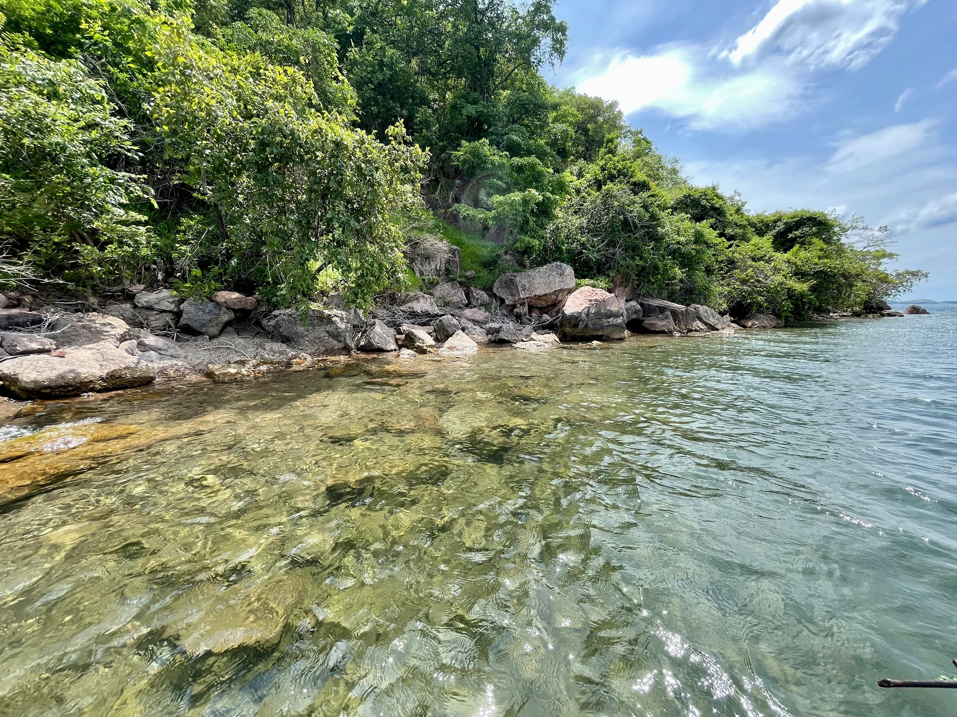
Lake Tanganyika
Lake Tanganyika offers a striking freshwater setting along Tanzania’s western frontier: broad blue horizons, wooded shores, bays, beaches and communities whose daily life is closely connected with the water. Shared by Tanzania, Burundi, the Democratic Republic of the Congo and Zambia, it occupies a long basin in the western arm of the East African Rift. With a maximum depth of about 1,470 metres, it is Africa’s deepest lake and the second deepest in the world. Its scale gives a lakeshore holiday a sense of space, while each part of the coast offers a different experience. On Tanzania’s side, Kigoma is an important gateway for lake journeys and a useful base for combining time on the shore with town and heritage visits around Ujiji. The waterfront and harbour reveal the lake’s role in transport and trade, and local guides can help visitors understand places through the people who live and work there. Farther along the shore, a quieter lodge or camp can provide a slower rhythm of scenic boat trips, beach time and watching the changing light across the water. The lake is especially interesting for its freshwater fish, including colourful cichlids and many species found only in this ecosystem. At suitable sites, guided snorkelling or diving can reveal a different side of a safari holiday. Kayaking and canoeing may also be offered by individual properties or operators. Confirm the site, equipment, supervision and conditions for each activity. Water clarity, wind and waves vary, and swimming should follow current local advice at designated places. Relaxing beside the lake, with a book or a camera, is equally rewarding when conditions do not suit a water outing. Gombe Stream and Mahale Mountains national parks add forest experiences to selected lake itineraries. Ranger-guided chimpanzee trekking, forest walks, birds and viewpoints can be combined with time on their lakeshores, with separate park bookings and activity arrangements. These are visits to protected areas with their own access routes and rules. Allow enough time for transfers and the guided programme so that a lake stay and a forest visit both receive the attention they deserve. Travellers considering the southern Tanzanian shore can look at the Kipili area, with road or charter arrangements planned around the chosen property. The distances between lake destinations are substantial, and moving along the coast requires practical coordination. Choose one lakeshore base for a short stay, then add another area only when the transport plan and available time support it. A suggested starting point is three or four nights at one base, with extra nights for Gombe, Mahale or a wider western Tanzania safari. June to October generally offers the main dry-season window for many western Tanzania lake and forest itineraries. Wetter months can bring lush scenery and atmospheric skies, while road conditions, boat transfers and lodge operations need closer checking. Even in dry weather, wind can affect the lake. Use an operator who knows the route, arrange transfers and accommodation in advance, and leave flexibility around onward connections. A visit can suit couples looking for a restful lakeside stay, families with a manageable programme, photographers, fish enthusiasts and travellers combining wildlife with culture. Discuss comfort, accessibility, meals, charging and activity needs before booking, especially at remote properties. Support local guides and businesses, ask before photographing people, and leave the shores and water free of litter.
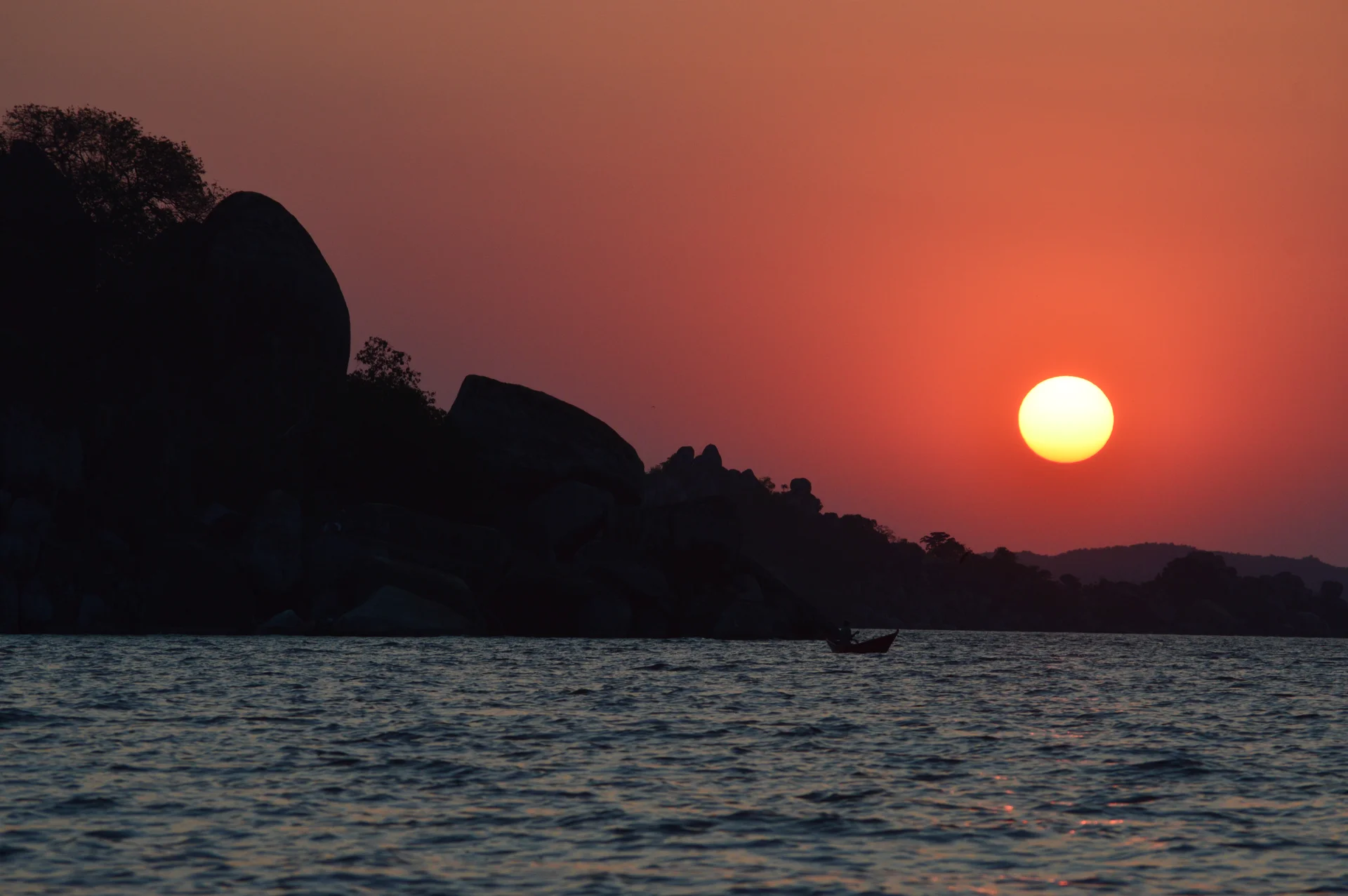
Lake Victoria
Lake Victoria brings a different rhythm to a Tanzanian safari: broad freshwater horizons, granite headlands, lively fishing settlements and islands where daily life follows the lake. Africa’s largest lake by surface area is shared by Tanzania, Uganda and Kenya. This destination focuses on its Tanzanian shores and islands, with Mwanza, Musoma and Bukoba offering different starting points for a lakeside journey. Mwanza is a practical base for a first visit. Its rocky shoreline and lake views invite a relaxed stay, with time for waterfront photography, locally guided city walks and sunset watching. A visit can be shaped around your interests, from markets and regional food to a boat excursion or an island day trip. Lake Victoria is a working landscape, so allow room for everyday scenes as well as planned sightseeing: boats arriving, people trading and neighbourhoods meeting the water. Island experiences vary considerably. Ukerewe offers an inhabited island setting with Nansio as its main town and opportunities for guided village visits, walking or cycling where suitable arrangements are available. It works particularly well for travellers who enjoy meeting local hosts and exploring at an unhurried pace. Travel to an island deserves its own allowance for embarkation, weather, luggage and return connections; an island visit should never be fitted into a tight airport transfer window. Saanane Island National Park is a convenient excursion from Mwanza, combining lake scenery with walks, birdwatching and wildlife viewing in a protected island setting. Rubondo Island National Park offers a more remote experience with forest and wetland habitats, requiring a separately planned transfer and stay. These are distinct national parks with their own admission arrangements, accommodation options and visitor rules. A Lake Victoria stay does not automatically include either park. The shoreline rewards patient observation. Look for waterbirds around suitable bays and wetlands, watch changing light over the lake and explore the relationship between fishing communities and their environment with a knowledgeable local guide. Wildlife opportunities depend on the exact place visited. Park excursions offer different habitats and species from city waterfront walks, and animal sightings should always be treated as possibilities rather than promises. We suggest allowing two or three nights for a mainland introduction, with additional nights for island exploration or a dedicated park stay. Choose one base for a short trip; moving between distant shores can take much of a travel day. Lake Victoria can also complement a Serengeti itinerary when the chosen safari route, park gates and transfer arrangements fit. A lakeside break after game drives creates time to slow down, enjoy photography and discover another side of northern and western Tanzania. Travel is easiest when boat journeys, local guiding and accommodation are arranged together. Use established operators, allow flexibility for changing lake conditions and request suitable life jackets for everyone travelling. Keep excursions sensitive to fishing livelihoods, nesting areas and local customs. Ask before photographing people, agree guided visit costs in advance and take litter back with you. Bring sun protection, comfortable walking shoes, a light rain layer and a waterproof bag for cameras and other valuables. The best itinerary balances a few chosen experiences with time beside the water. Whether you prefer Mwanza’s rocky views, an Ukerewe cultural stay, a Musoma stop or a remote island extension, Lake Victoria offers a memorable combination of scenery, community and gentle exploration.

Maasai Market Arusha, Tanzania
Maasai Market Arusha is one of the most popular places to explore traditional handicrafts, colourful artwork, and locally made souvenirs in northern Tanzania. Located around the Tanesco Road and Fire Road area of Arusha, the market brings together a variety of stalls selling handmade jewellery, Maasai-inspired beadwork, colourful fabrics, paintings, wood carvings, bags, baskets, clothing, and decorative items. A visit to Maasai Market is more than a shopping stop. It is an opportunity to experience the creative energy of Arusha, interact with local traders, discover traditional artistic techniques, and find a special reminder of your journey through Tanzania. Many products feature vibrant colours, geometric patterns, natural materials, and designs inspired by East African culture. The market is particularly convenient for travellers beginning or ending a Tanzania safari. It can be included in an Arusha city tour or combined with other attractions such as the Cultural Heritage Centre, the Tanzanite Experience, the Arusha Declaration Museum, and local restaurants. Visitors should allow time to compare products at different stalls, ask questions about the origin of an item, and negotiate prices politely where bargaining is appropriate. A knowledgeable local guide can make the experience more comfortable by helping visitors understand the market, communicate with sellers, and identify suitable purchases. With TanzaLux Safaris, Maasai Market can become part of a personalised Arusha cultural experience before your safari, after your wildlife adventure, or during a private city tour.
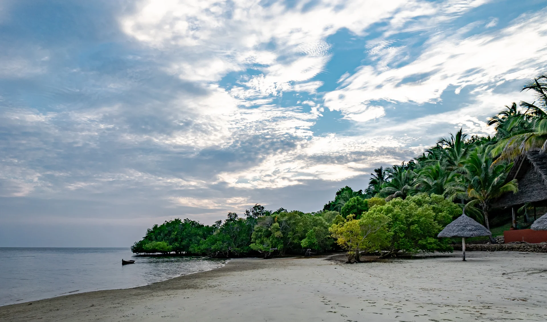
Mafia Island
Mafia Island is an Indian Ocean destination off Tanzania's coast, opposite the Rufiji Delta. Part of Pwani Region, it has its own character: fishing communities, palm-fringed shores, mangrove channels and a marine landscape that rewards time spent looking closely. The main island is the centre of a wider archipelago, with smaller islands adding opportunities for guided exploration. Come for diving, snorkelling and seasonal marine wildlife, then leave room for village life, coastal history and unhurried afternoons. Choose the right base Kilindoni, on the west coast, is Mafia's main town and air gateway. It is a practical base for seasonal whale-shark outings. Utende, on the southeast side, faces Chole Bay and is associated with marine-park activities and dive accommodation. Chole and other nearby islands offer a different pace and may require additional boat transfers. Choose accommodation around the experiences you value most, and ask how its location affects transfer time, activity departures and applicable park charges. Explore Chole Bay Coral gardens and varied underwater habitats make Chole Bay a focal point for diving and snorkelling. A guided trip gives you time to notice fish gathering over reef tops, smaller creatures among coral and the changing light through the water. Tide is central to planning: departure times, currents and visibility vary. A sheltered bay does not make every site suitable for every visitor, so discuss swimming ability and experience with the operator. Keep fins clear of the reef and never stand on living coral. Dive at your own level Mafia supports both introductory training and dives for experienced visitors. Local centres offer courses and choose sites according to qualification, recent experience and the conditions. Inner-bay options can be available through the year, while exposed outer reefs have a more restricted weather window and can involve stronger currents. Treat published site descriptions as background rather than a plan to follow independently. Book with a qualified centre, allow enough days for your chosen programme and follow its guidance on timing flights after diving. Seasonal whale-shark experiences The waters near Kilindoni on the west coast are known for whale-shark encounters. Local specialists generally plan their main season from October to March, when surface sightings are more consistent. This is a separate outing from a Chole Bay reef excursion and needs its own arrangements. These are wild animals: seeing one is never assured. Choose a crew that provides a careful briefing, limits disturbance and lets the animal's movement determine the encounter. Do not touch, feed, block or chase a whale shark. Islands, history and coastal life A guided visit to Chole can combine settlement history with observations of daily island life. Kua ruins on Juani provide another opportunity to explore the archipelago's connections with Indian Ocean trade, subject to local access and boat arrangements. Sandbank excursions and dhow trips add time on the water, with routes shaped by tide and weather. Ask permission before photographing people, use local guides and respect places of worship, graves and historic masonry. Leave artifacts, shells and plants where they belong. A living marine landscape Mafia Island Marine Park protects a substantial area of the southern archipelago, with coral reefs, seagrass, mangroves and intertidal habitats. The island and the park are related destinations, but they do not have identical boundaries. Planning around this distinction helps you understand your accommodation location and the activities in your quotation. Reef fish, rays, turtles and birdlife add interest, although particular sightings vary. View the destination as an ecosystem and a community rather than a checklist of animals. Set a comfortable pace Four to six nights is a suggested starting point for combining marine activities with rest, and a longer stay can suit a dive course or a strong interest in wildlife. Keep at least one flexible day for sea conditions. A balanced itinerary might include reef activities, a heritage visit, an optional seasonal whale-shark outing and relaxed time at your accommodation. Mainland safari connections can work well, provided the flight routing and baggage arrangements are confirmed for your dates. Practical preparation Pack lightweight clothing, swimwear, protective footwear, a hat and a dry bag. Ask which snorkelling or diving equipment is included, and arrange dietary needs before arrival. Choose boats with suitable safety equipment and correctly fitting life jackets. Families and guests who need boarding assistance should discuss the actual boat, steps, walking surfaces and room access before booking. Confirm payment options, connectivity and the facilities you need with your accommodation, since provision differs between properties. Agree the full price and weather-related rescheduling terms before an excursion.
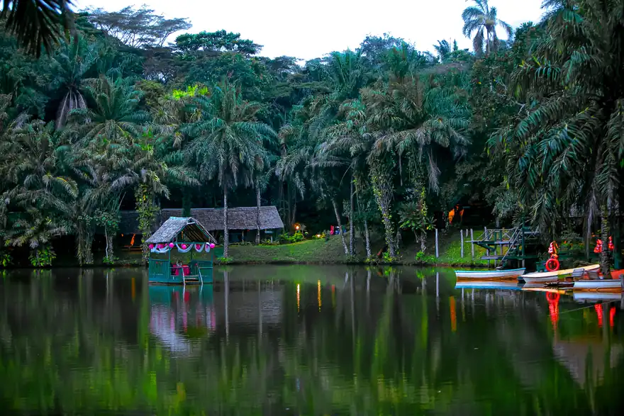
Magoroto
Magoroto is a forest-and-lake retreat near Muheza in Tanzania's Tanga Region. Usually visited as Magoroto Forest Estate, it sits in the East Usambara Mountains, where wooded slopes, cultivated spices and waterside recreation come together. It suits a short nature break, a camping weekend or a slower stop between inland travel and the coast. The experience is best enjoyed with time to walk, look closely at the surroundings and relax by the lake. Explore at your own pace A guided forest walk introduces the estate's vegetation and streams, while longer hiking routes lead towards viewpoints and waterfalls. Choose a route that fits your interests and fitness rather than trying to cover everything in one outing. Some paths are easier than others, and recent rain can change the footing. Ask the guide about the expected duration, gradients and return route. A quiet pause along the way can be as rewarding as reaching a viewpoint, particularly when listening for birds. The lake experience The lake is the social and scenic centre of the retreat. Magoroto advertises swimming, boat rides and recreational fishing, alongside places to sit and enjoy the water. Treat these as separate activities with their own briefing, equipment and availability. Discuss swimming ability with staff, stay within the designated area and supervise children closely. There is no need to enter the water to enjoy the setting: photography, a picnic or an unhurried afternoon on shore can be equally satisfying. Spices and forest observation A spice tour adds an agricultural perspective to the landscape. The estate lists crops such as black pepper, cardamom, cloves, vanilla and cinnamon; what you see growing or being processed will depend on the season. Ask questions, smell or taste samples only when invited, and avoid picking plants independently. Birdwatching is another reason to move slowly through the forest. Bring binoculars if this is a priority and request a guide who can help identify what is encountered. Specific wildlife sightings should remain a possibility rather than a promise. A more active visit Mountain biking uses estate tracks, including former plantation roads. Magoroto also advertises guided quad-bike outings and organised group activities. Confirm the current programme, equipment, route, supervision and any age or ability requirements before adding these to your stay. A family or group can mix active sessions with gentler walks and lakeside time. Activities need not all happen on the same day, and a change in weather is a good reason to adjust the plan. Stay beside the lake Current accommodation choices include stone cabins, wooden cabins and pitched camping tents, with a separate option for overlanders or guests bringing their own camping setup. Cabins and camping have different bathroom and facility arrangements, so request the exact room or campsite description when reserving. Decide whether you prefer more privacy or a closer camping experience, and ask about bedding, charging, meals and access to washrooms. The estate describes limited mobile coverage around its lakeside camp, making it sensible to download essential information before arrival. Meals and evenings Meal arrangements vary by booking: breakfast, half board or full board may be available, while day packages can include lunch. Share dietary needs ahead of time and check what drinks or extras cost. The estate advertises campfires, games and Saturday barbecue evenings, subject to its programme and conditions. These can be a relaxed way to finish a trail day, but an event should be confirmed rather than assumed to run on every visit. Plan a rewarding stay One or two nights is a suggested starting point for enjoying a walk, a spice activity and time at the lake without rushing. A day visit can work when the road journey leaves enough time on site; longer stays allow more flexibility. Reserve accommodation and ask for an itemised activity plan before travelling. Match your arrival time to the transfer, reception and meal arrangements, particularly when coming from farther away. Care for the setting Stay on agreed routes, carry out litter and leave plants and wildlife undisturbed. Use designated areas for camping and fires, respect quiet hours and ask before photographing staff or other guests. Pack footwear with grip, a light rain layer, sun protection, insect repellent, a torch and a reusable water bottle. Guests who need step-free access should discuss the paths, room layout and lakeside facilities in detail with the team.
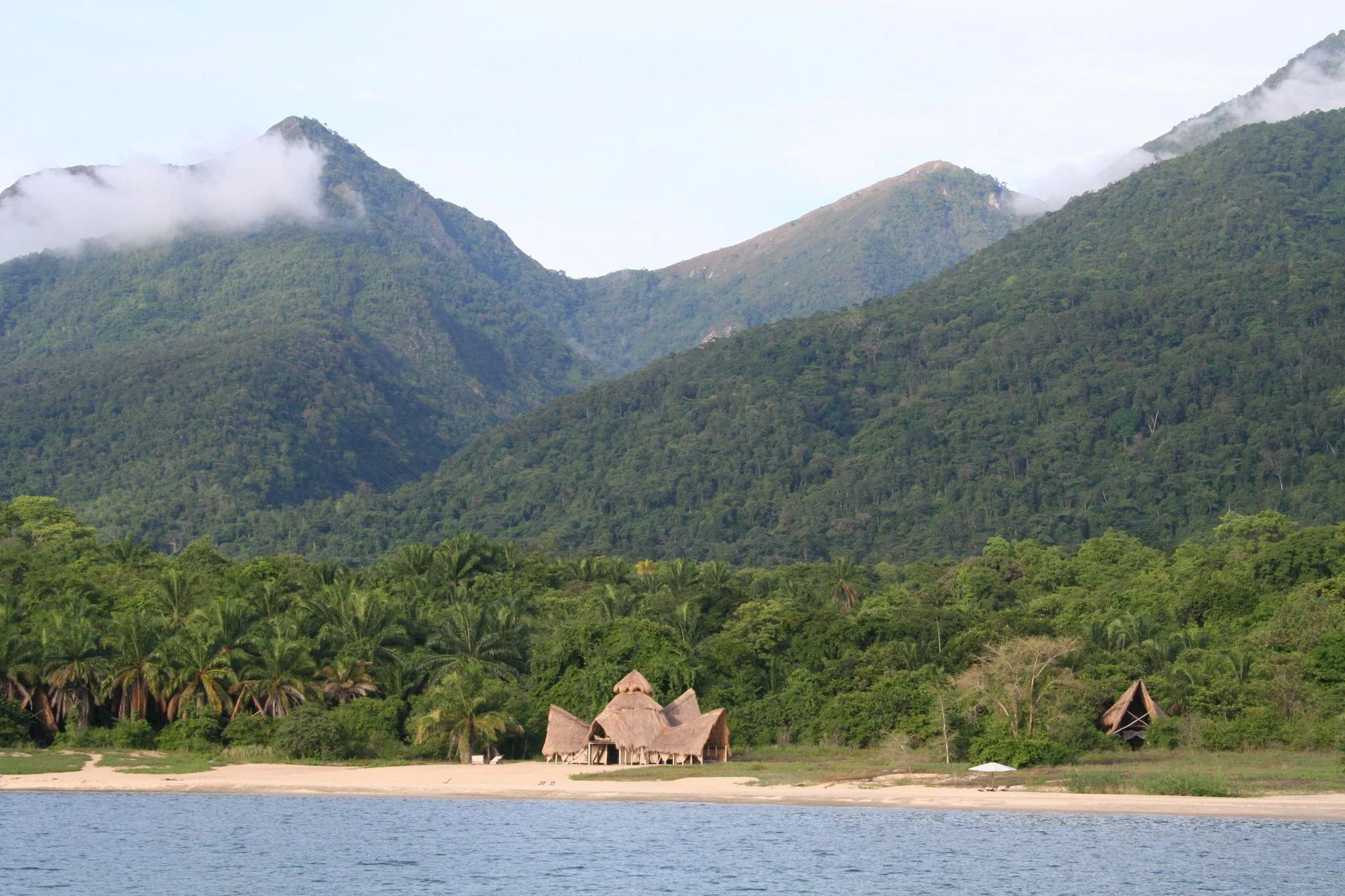
Mahale Mountains National Park
Mahale Mountains National Park brings forested mountains, wild chimpanzees and the shores of Lake Tanganyika together in western Tanzania. On the lake’s eastern shore in Kigoma Region, south of Kigoma town, this remote national park suits travellers who enjoy walking, wildlife observation and time beside the water. Guided chimpanzee trekking is the signature experience. Authorized guides lead visitors through forest trails to look for habituated chimpanzees, which remain wild and move naturally through their habitat. Search times vary, sightings are not guaranteed, and the walk can involve steep slopes, humidity and slippery ground. Discuss fitness, mobility and current age requirements before booking. Mahale also has a long history of chimpanzee research, with fieldwork beginning in 1965. Beyond chimpanzees, guided forest walks can reveal other primates, birdlife, streams and varied habitats. Lakeside beaches provide a place to relax between excursions, while mountain and lake views reward a slower stay. Boat trips, kayaking and snorkelling may be arranged where equipment, permissions and conditions allow. Use approved swimming areas and follow current advice from park staff and your accommodation. More demanding mountain hikes require separate planning around routes, fitness and conditions. Chimpanzee encounters follow conservation rules. Stay with your guide, maintain the required distance, wear a mask as directed, avoid flash photography and never feed or touch wildlife. Do not join a trek with an infectious illness. Confirm current TANAPA viewing, health, age and group requirements with your operator before travel. Arrange accommodation and the complete transfer connection in advance, whether arriving through the Mahale airstrip or travelling via Kigoma and the lake. Allow flexibility for weather and remote travel, and consider several nights for trekking opportunities and lakeshore time. Bring sturdy walking shoes, a rain layer, drinking water, sun protection, binoculars and a waterproof bag for boat transfers.
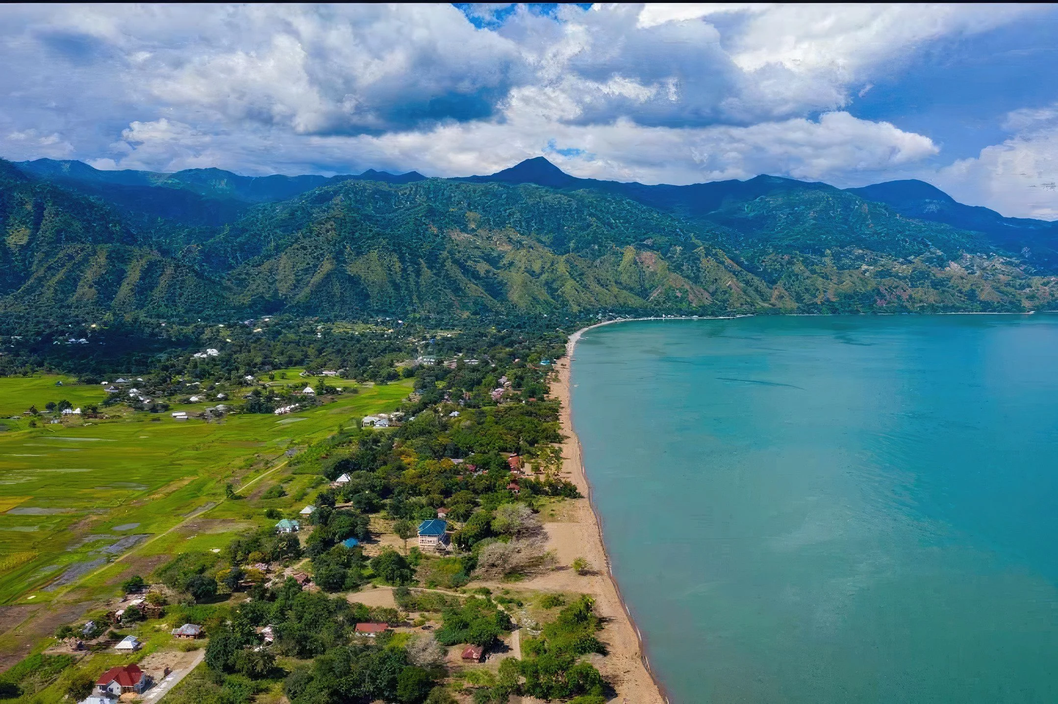
Matema Beach
Matema Beach brings together a sandy lakeshore, mountain scenery and village life on Tanzania’s Lake Nyasa. Set in Matema Ward, Kyela District, Mbeya Region, it offers a rewarding change of pace after exploring the Southern Highlands. The Livingstone Mountains rise behind the shore, while the lake opens into a broad freshwater horizon. This is a destination for lingering over the scenery, walking along the beach and meeting local hosts, with enough time to appreciate the place beyond a quick photograph. Lake Nyasa is also known as Lake Malawi. Matema is on the Tanzanian side of this lake; it is separate from Zanzibar and the Indian Ocean coast. That distinction shapes both the journey and the visitor experience. A stay here combines inland lake landscapes with rural southern Tanzania, rather than an ocean resort itinerary. It works particularly well for travellers who enjoy quieter surroundings, local culture and a flexible programme built around the weather and the interests of their group. THE BEACH AND THE MOUNTAIN BACKDROP The attraction is the meeting of lake and highlands. From accessible sections of shore, you can watch the light change across the water and trace the slopes of the Livingstone Mountains. Bring a camera, take your time and choose a comfortable spot for a break. Shoreline conditions change with rainfall, lake levels and waves, so the most suitable walking section should be checked on arrival. There is no need to fill every hour with an organised activity to enjoy Matema. For photography, plan a relaxed outing when the light suits your chosen viewpoint. Early or late in the day can be rewarding, but cloud, haze and the direction of your view matter more than a fixed timetable. A broad landscape image can include beach, lake and mountains; closer photographs can show textures in sand, boats or pottery with permission. Leave fishing equipment and landing areas undisturbed, and ask before photographing people, homes or workplaces. FISHING VILLAGE LIFE Fishing is part of Matema’s everyday economy. A thoughtfully arranged village walk can introduce visitors to the working lakeshore and to the people whose livelihoods connect them to the water. The experience is most worthwhile when a local host explains what is happening, rather than treating daily work as a staged performance. Fishing activity and boat landings vary; no particular catch, market display or demonstration should be promised for every visit. Allow your guide or host to make introductions and clarify where guests are welcome. Keep pathways clear and give working crews space. If you buy a local product, agree on the price respectfully and pay the maker or seller directly where practical. Suitable clothing, a friendly greeting and consent before taking photographs help make a short encounter comfortable for everyone. Children and private households deserve the same care as any other visitor or host. POTTERY IN MATEMA AND IKOMBE Traditional pottery adds a distinctive cultural dimension to the area. Research documents Kisi women potters in both Matema and nearby Ikombe, with skills and production contributing to household livelihoods. A visit can be arranged with participating artisans when they are available. Depending on the host’s work that day, visitors may learn about shaping, finishing or firing, or see completed pieces. An operating factory, scheduled workshop or hands-on lesson should be confirmed separately rather than assumed. Ikombe can be considered as an additional excursion, with road or boat arrangements checked locally. It should not be described as reachable only by water. If travelling by boat, the operator must assess conditions, landing arrangements and the suitability of the vessel. A pottery visit can also take place in Matema, making it possible to choose the option that best fits the group and the artisans. Ask about a hosting or demonstration payment before the visit, and consider baggage space and protective packing before buying fragile pottery. BOATS, WALKS AND OPTIONAL EXCURSIONS A locally arranged boat or canoe outing can provide another perspective on the mountain shore. Availability, route, duration, equipment and the operator’s experience need to be checked in advance. Wind and waves can change the plan even in the dry season. Choose a suitable vessel, use properly fitted lifejackets and accept a cancellation or shorter route if conditions are unsuitable. Boat trips are optional additions, rather than a guaranteed service included in every beach visit. Mountain walks and waterfall excursions are also described in the Matema area, but each needs a specific route and local arrangement. Confirm the walk’s distance, gradient, access permission, guide provision and return time before setting out. A beach walk and a mountain hike involve different levels of effort. After rain, paths may be muddy or slippery. Travellers who prefer an easy day can stay with shore viewpoints and a hosted village visit instead of adding an unassessed climb. LAKE ECOLOGY AND FRESHWATER HEALTH Lake Nyasa supports exceptionally diverse freshwater fish communities, including many cichlids endemic to the lake. This describes the wider lake ecosystem, not a guarantee of seeing particular fish from Matema’s shore. Bird observations may also add interest, but a species list or a specialist wildlife encounter should be confirmed for the chosen outing. Matema is best presented as a lake and cultural destination; terrestrial safari wildlife and marine reef experiences should not be attached to it. Clear water does not establish that freshwater is safe for swimming. The CDC identifies Lake Malawi among schistosomiasis transmission sites and advises avoiding swimming, wading, bathing and other freshwater contact in endemic countries. Plan land-based relaxation and seek individual advice from a qualified travel-health professional before your trip. This is health guidance, not a claim that the beach is legally closed. [CDC freshwater guidance](https://www.cdc.gov/yellow-book/hcp/travel-associated-infections-diseases/schistosomiasis.html). WHEN TO VISIT June to September is the core drier period in regional guidance and a useful starting point for planning shore walks and road travel. October to May is generally wetter, with greener surroundings and a greater chance of rain affecting outdoor plans. May and October can be considered transition months, but seasonal boundaries are not exact. The lake shore is lower and warmer than the Mbeya uplands, so pack for both locations if combining them. A dry day does not guarantee calm water or a suitable boat departure. Allow flexibility instead of building a tightly timed programme around a single weather-dependent outing. During wetter months, confirm access before departure and keep an alternative such as a hosted cultural visit or additional rest time. During drier months, sun protection and drinking water still matter. Conditions at the lake can differ from those at your highland accommodation, making local advice on the day more useful than a regional forecast alone. HOW LONG TO STAY AND WHERE TO BASE YOURSELF A short stop can provide a beach walk and lunch, but one or two nights is a practical option for travellers who want a slower visit. A longer stay creates room for pottery, optional boating and an additional guided walk without rushing. Treat this as an itinerary suggestion rather than a compulsory minimum. For a day visit, include the full outward and return road journey in your plans and avoid scheduling a late finish after a long transfer. Check the exact location of your accommodation, since a property’s name does not establish that it sits on the beach. Confirm current availability, room standard, meals, hot water, power, connectivity and transfer arrangements directly with the chosen host. Guests with limited mobility should ask for details of steps, paths, bathrooms and vehicle access. Camping, secure parking and day-use facilities require separate confirmation. Current entry arrangements, property access and any local charges should be established before travel; no fixed fee or beach-wide opening timetable is assumed here. PRACTICAL PREPARATION AND RESPONSIBLE VISITING Bring comfortable walking shoes, a sun hat, sunscreen, drinking water, a light rain layer and a small day bag. A warm layer is useful for travel through the highlands. Protect cameras and phones from sand and spray, and carry enough cash for small agreed purchases or local services. Plan meals and dietary requirements with your host in advance. For families, keep children close near the water and explain boundaries around boat landings, fishing gear and private property. Take rubbish away, avoid leaving food waste and keep washing products out of the lake. Do not collect wildlife or remove natural material from the shore. Respect the space and decisions of residents, including anyone who declines a photograph or visit. TanzaLux can shape Matema into a lakeside pause within a wider Southern Highlands journey, with logistics and optional activities confirmed for the dates you choose. The strongest visit is one that gives the landscape, hosts and local livelihoods enough time and attention.
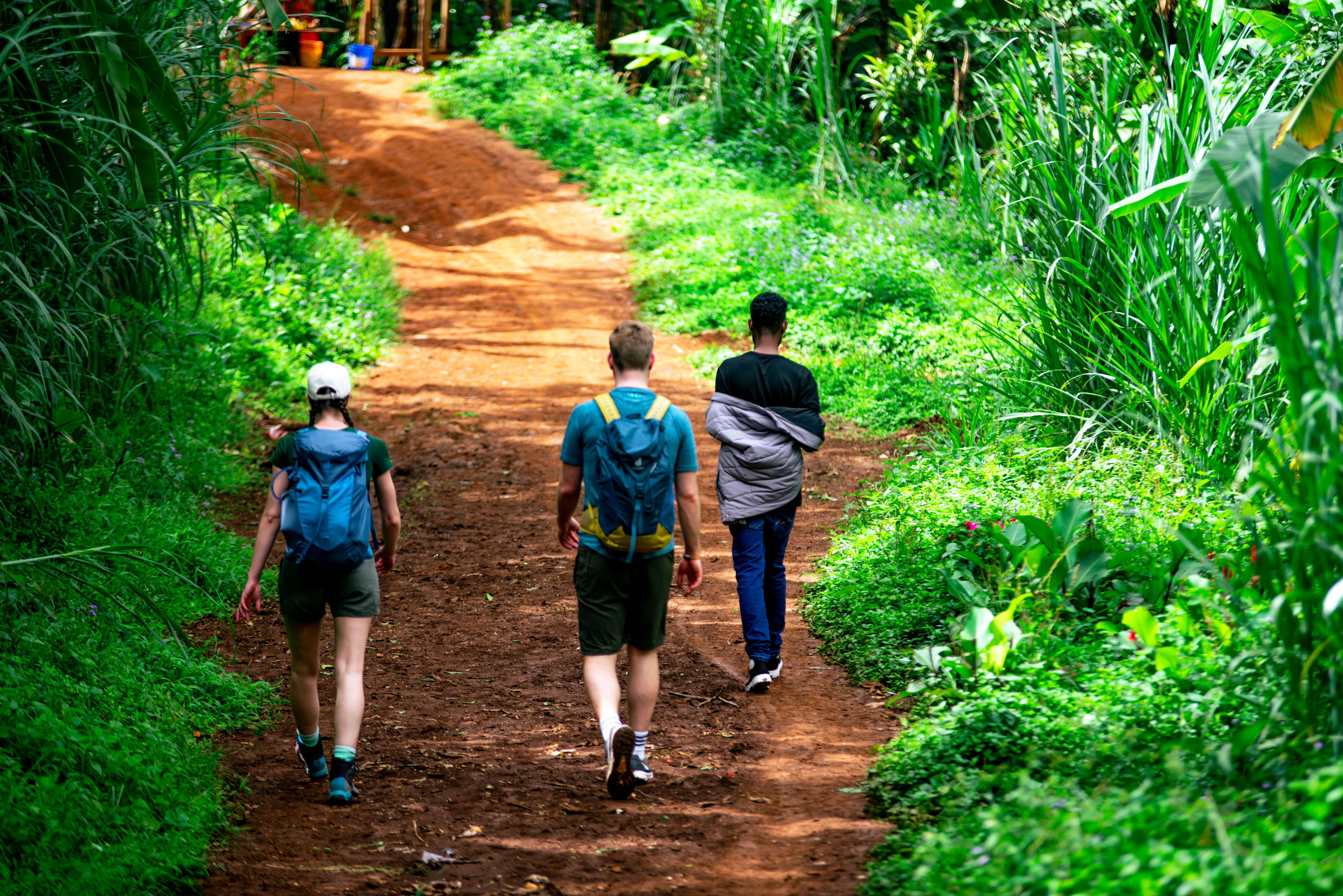
Materuni Village
Materuni Village welcomes visitors to the green southern slopes of Mount Kilimanjaro, near Moshi in Tanzania’s Kilimanjaro Region. This Chagga community combines small-scale coffee and banana farming with cultural experiences, village walks and access to the scenic Materuni Waterfall. Explore the village with a local guide to learn about everyday life, farming traditions and the journey from coffee cherry to cup. A hands-on coffee session can include roasting, grinding, brewing and tasting, while a locally prepared Chagga meal offers another introduction to the community’s food and hospitality. Activities and meals are arranged with local hosts, and participation varies with the programme and farming season. The waterfall walk follows uneven countryside paths through farms and lush vegetation. Allow roughly 45–60 minutes each way, depending on your pace and trail conditions, with additional time at the falls and for coffee or cultural activities. Materuni suits a half- or full-day outing from Moshi and can complement a Kilimanjaro trek or northern Tanzania safari. Rain can make paths muddy; choose a programme that matches your interests and walking ability.
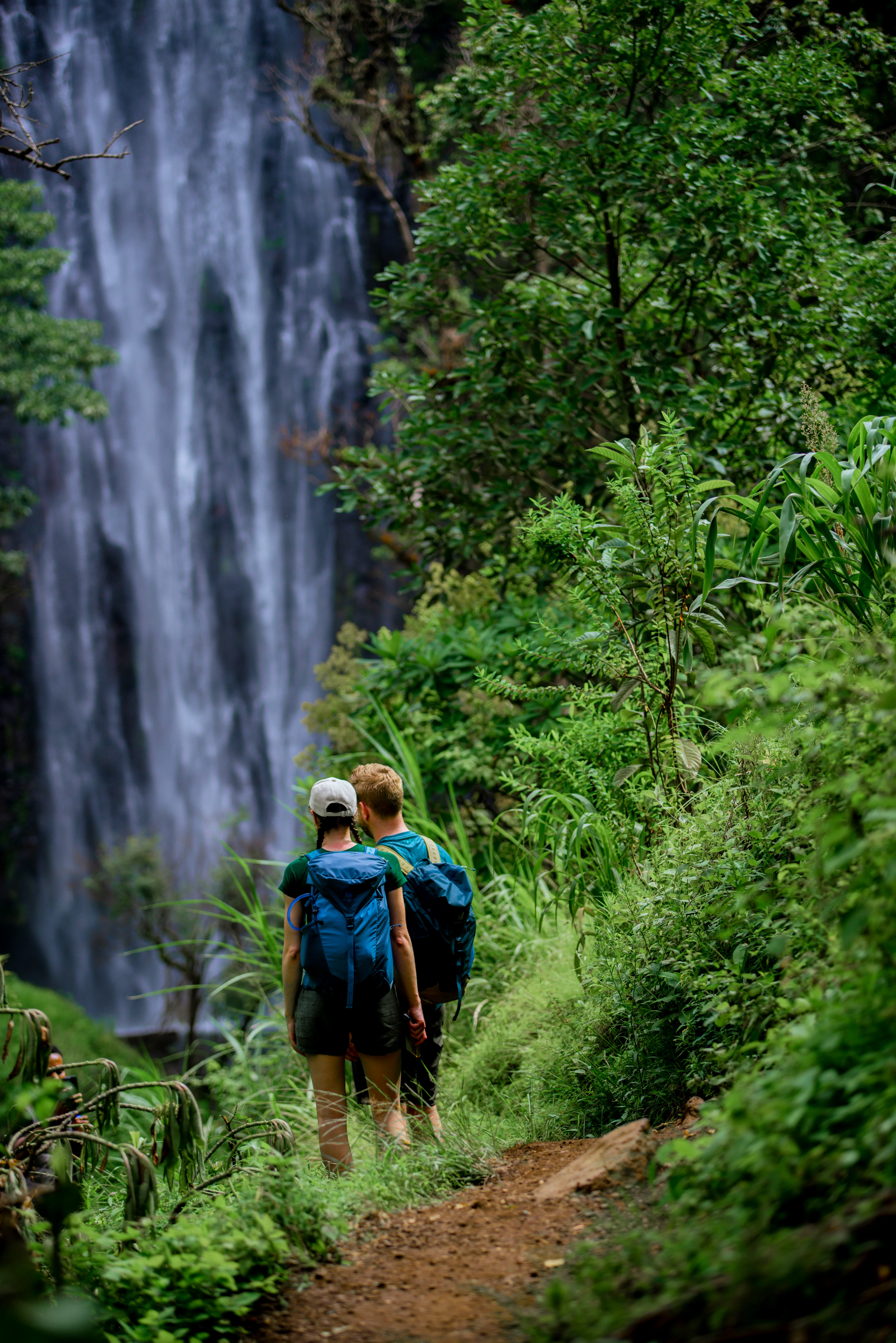
Materuni Waterfall
Materuni Waterfall is one of the most rewarding nature and cultural experiences near Mount Kilimanjaro, offering travellers a beautiful combination of hiking, waterfalls, coffee, Chagga culture and mountain scenery. Located in Materuni Village on the green southern slopes of Mount Kilimanjaro, approximately 15 kilometres from Moshi, the waterfall is reached by a scenic guided walk through the countryside. The trail passes through coffee farms, banana plantations, tropical vegetation and Chagga farmland before arriving at the impressive Materuni Waterfall, where water plunges into a natural pool surrounded by lush vegetation. The waterfall is commonly described as approximately 80 metres high, although published measurements vary. The journey to the falls is part of the experience, with local guides explaining the plants, farming practices, landscape and everyday life of the Chagga people along the way. Materuni is much more than a waterfall. A traditional coffee experience can introduce visitors to the journey from coffee cherry to cup, including harvesting, processing, roasting, grinding and tasting freshly prepared coffee. Visitors can also enjoy a traditional local meal and learn about Chagga culture and village life. With TanzaLux Safaris, Materuni Waterfall can be arranged as a private day trip from Moshi or Arusha and combined with a Chagga coffee experience, cultural visit or Chemka Hot Springs. It is also an excellent experience before or after a Mount Kilimanjaro climb. For travellers looking for authentic experiences beyond traditional wildlife safaris, Materuni offers a memorable opportunity to experience the landscapes, people, agriculture and culture of northern Tanzania.
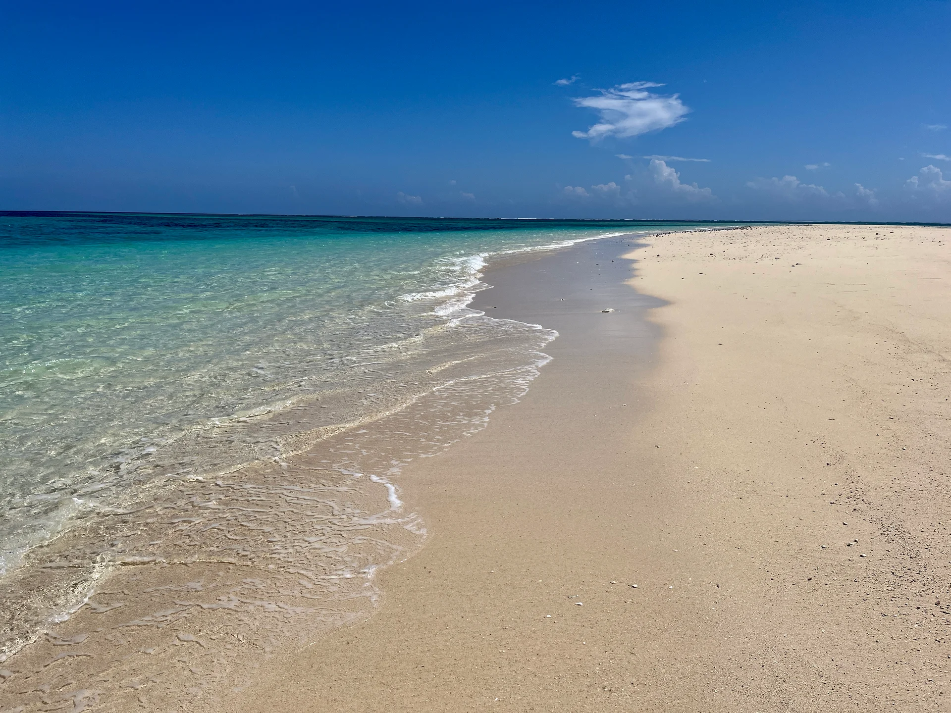
Maziwe Island Marine Reserve
Maziwe Island Marine Reserve, also written Maziwi, is a distinctive sandbank and reef destination off the Pangani coast in Tanga Region. An organised boat excursion brings visitors from the mainland towards pale sand and Indian Ocean waters, with opportunities for guided snorkelling, photography and a carefully timed beach stop. Maziwe is a tidal landscape: the amount of exposed sand changes, so the experience should be planned around the tide, wind and sea conditions on your chosen day. Established as a marine reserve in 1975, Maziwe protects a setting with an important coastal conservation history. A once-vegetated island has become an unvegetated sandbank, and rising water can cover the sand. This makes it especially rewarding to visit with a guide who can explain the relationship between the bank, reef and mainland coast. It also means that a photograph of a broad beach cannot be used to promise the same landing area or length of stay on every excursion. The reef environment provides the focus for a guided water activity. Tell the operator about your swimming ability and snorkelling experience before booking, and confirm the equipment, briefing and supervision. Site choice should reflect the conditions and the group’s ability. Watch your fins and buoyancy, keep clear of coral and avoid chasing or feeding marine life. Clear water, easy entry and particular animal sightings cannot be guaranteed, even when a trip is arranged during a generally favourable season. When the sandbank is exposed and landing is suitable, take time for a short walk, photographs and a relaxed break. The open setting has limited natural shelter, so confirm whether your organiser provides shade and how the group will manage sun exposure. A picnic is best treated as a pre-arranged part of a self-contained outing, with drinking water, meals and all waste carried back. Ask about toilets and changing arrangements rather than assuming island facilities will be available. Turtle conservation adds depth to the visit. Friends of Maziwe works with local communities and conservation officers to protect nests threatened by tidal inundation, including relocation to protected mainland hatchery areas around Ushongo. If you would like to learn more, ask about a separately arranged conservation visit and whether it is appropriate during your stay. Nest monitoring and hatchling releases follow the animals’ needs and the conservation team’s work; they are not a scheduled performance or a guaranteed inclusion in an island excursion. A suggested day begins with a mainland transfer to the operator’s confirmed departure point near Pangani or Ushongo. Meet the boat team, check life jackets and discuss the route, conditions and return plan. The skipper and guide can then sequence a suitable water activity, an approved sandbank stop and a prepared lunch around the tide. Return with enough time for your mainland transfer. This outline is illustrative: the best order, time ashore and departure depend on the actual day. For a two-day coastal stay, settle into mainland accommodation on the first day and include a relaxed beach afternoon or a separately guided Pangani visit. Keep the second day for Maziwe if conditions permit, with an alternative mainland plan available. Additional nights create flexibility for weather and a slower pace. Choose accommodation by its exact location and transfer requirements; do not assume that staying somewhere on the Tanga coast places you beside the boat departure beach. Tanga Airport can be considered as a regional gateway after checking current flights and onward road arrangements. Travellers arriving through Dar es Salaam need a separately planned mainland journey to the Pangani area. Road routes, coastal crossings and access to individual lodges should be checked with the organiser when the itinerary is made. Neither the drive nor the boat crossing has one reliable duration for every departure point, and a tight flight connection immediately after the excursion leaves little room for changes. June to September generally offers a drier period on this part of the coast, while March to May is the main rainy period and shorter rains often occur from October to December. Sea state, visibility and tides still require local assessment in every season. Pack sun protection, a hat, a light rain layer, a towel and a waterproof bag, and confirm suitable footwear and equipment with the guide. Request a clear quote for transport, reserve admission, guiding, gear, meals and water. Enjoy the reserve through observation and leave shells, coral and other natural objects where they belong.
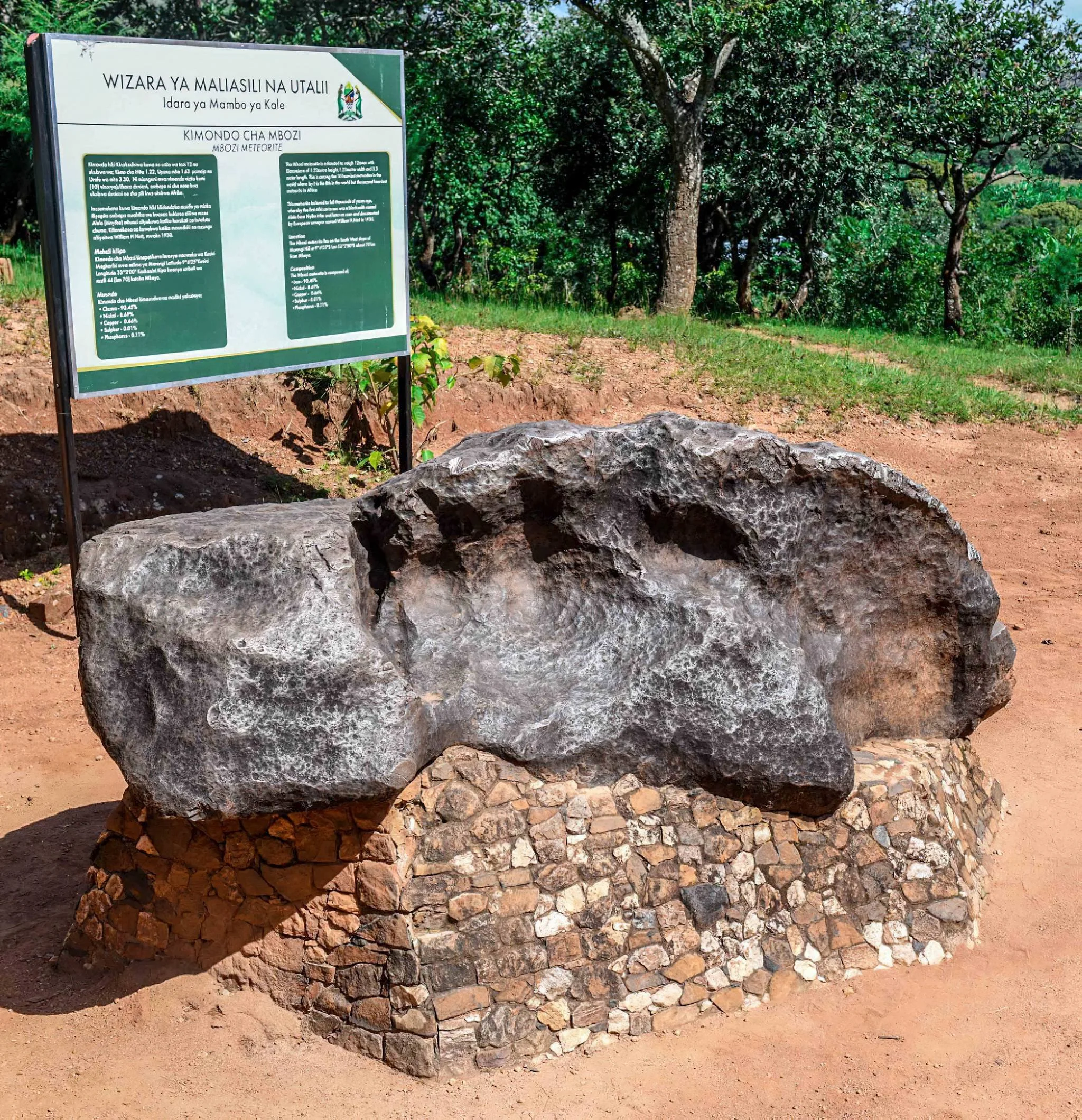
Mbozi Meteorite
Mbozi Meteorite: a remarkable encounter with a visitor from space Mbozi Meteorite offers a different perspective on a journey through Tanzania’s Southern Highlands. Here, the central attraction is a substantial mass of iron from beyond Earth, preserved as a geological heritage landmark in a rural Tanzanian setting. Seeing the meteorite at close range makes a subject usually encountered in books or museum cases feel immediate: its irregular shape, considerable scale and textured surface invite questions about space, time and the history of our planet. Known locally as Kimondo cha Mbozi, the site is in Mbozi District, Songwe Region, around Ndolezi, near the wider Vwawa area. Older descriptions often associate it with Mbeya, which remains a useful regional travel base, but the destination’s current administrative region is Songwe. A visit suits curious travellers, families, students, photographers and anyone building an itinerary around Tanzania’s science and heritage as well as its scenery. What makes the meteorite significant? The scientific catalogue records the object under the official name Mbosi and classifies it as an ungrouped iron meteorite. Visitors will commonly see the spelling Mbozi in Tanzanian destination information; these names refer to the same meteorite. Iron meteorites are rich in metal, and Mbozi is predominantly iron with nickel and smaller amounts of other elements. Its appearance and composition distinguish it from an ordinary local rock. Published mass estimates differ. The Meteoritical Bulletin Database lists 16 tonnes, while tourism descriptions often quote about 25 tonnes. These figures should not be treated as a single precise, recently verified weight, and this page avoids a definitive world-size ranking. The secure visitor takeaway is its impressive many-tonne scale. Tourism information describes it as approximately three metres long, but an approximate dimension is more appropriate than a promise of an exact measurement. Understanding the journey from space A useful starting point is the difference between a meteoroid, a meteor and a meteorite. A meteoroid is material travelling in space. The luminous phenomenon produced during atmospheric entry is a meteor, commonly called a shooting star. Material that survives to reach the ground is a meteorite. Mbozi is therefore a surviving physical object, rather than an ongoing display of lights in the sky. This simple explanation opens a rewarding conversation about how scientists study materials from beyond Earth. Ask your guide how composition, structure and documented samples help researchers distinguish meteorites from terrestrial rocks. Do not assume that all meteorites are iron, or that every dark stone is a meteorite. Scientific identification involves evidence; a visitor photograph or a test performed without permission is not an appropriate substitute. A recorded find, not a witnessed fall The scientific record gives 1930 as Mbozi’s find year and records that its fall was not observed. This is an important distinction: it does not mean that the meteorite arrived in 1930. Its exact fall date should be treated as unknown. Local knowledge of the object preceded its wider scientific reporting, so a good interpretation acknowledges the community’s relationship with the landmark as well as the catalogue entry. Avoid turning an uncertain history into a dramatic but unsupported account of a dated impact, a particular eyewitness or a vanished crater. The meteorite itself is compelling enough. A thoughtful visit can explore what is documented, what remains uncertain and how scientific understanding develops. Local stories may form part of cultural interpretation, but they should be clearly distinguished from measured or independently established facts. A protected heritage visit Mbozi is a protected Tanzanian heritage monument, with protection documented in 1967. Its value lies in preserving the meteorite and the setting for future visitors and research. Follow current staff instructions, barriers and visitor rules. Do not climb on the meteorite, scratch its surface, remove fragments or attempt sampling. Ask before touching anything, and remember that a pose shown in an older photograph is not evidence of today’s permitted behaviour. Arrange guiding and access before travelling. Current interpretation facilities, exhibits, visitor services and group arrangements should be confirmed with the site. The attraction is the actual meteorite; do not assume that a planetarium, laboratory, telescope session or extensive museum display is included. A knowledgeable explanation can make the visit valuable without those additional facilities. What to do during the visit Begin with an introduction to the site and an overview of the meteorite. From the permitted viewing area, observe its outline, surface and scale. Take time to compare what you see with the scientific explanation. Photography can record both the wider setting and details of the object, but avoid leaning on structures, stepping into restricted areas or obstructing other visitors. Ask permission before photographing staff or members of the local community. For children and school groups, prepare a few simple questions: What is the difference between a meteor and a meteorite? Why do scientists study metal from space? Why is the find year different from the fall year? Which observations can be made without touching the object? These prompts encourage learning through careful observation. Arrange an age-appropriate introduction and supervision plan in advance rather than assuming a scheduled education programme is available. Access from Mbeya, Vwawa and Songwe Mbeya and Vwawa can be practical bases, depending on the rest of your route. Tourism information places the attraction off the Mbeya–Tunduma road, with a local approach towards Ndolezi. Confirm the current turn-off, final road condition, meeting point and parking arrangements before departure. Do not use the distance along the main highway as a complete estimate of the visit’s transfer time. A pre-arranged road transfer is useful when timing matters, especially for families or travellers linking the visit with another destination. If using public transport, confirm the connection for the final local section and a reliable return option. Keep enough daylight for the journey back. Flight schedules, station connections and vehicle requirements should be checked for your specific travel dates rather than treated as fixed year-round services. Seasonal planning and comfort The meteorite does not have a wildlife migration or flowering season, so timing is mainly about road access, weather and your wider itinerary. The Southern Highlands generally have a wetter period around November to April and a drier period around May to October. During rains, request an update on the local approach and walking surfaces. Drier conditions can simplify travel, but dust and exposed sunshine still need consideration. Wear comfortable shoes and bring drinking water, sun protection and a light layer appropriate to the day’s forecast. A compact rain jacket is useful in unsettled weather. Check toilets, refreshments and other facilities beforehand, particularly for groups. Visitors with limited mobility should request specific details about the route from the vehicle to the viewing area, surface conditions, steps and assistance. Photos alone cannot establish accessibility. Combining Mbozi with a Southern Highlands journey The site can provide a memorable science and heritage stop within a broader stay around Songwe and Mbeya. Pair it with separately arranged countryside or cultural visits if they fit the route and community arrangements. Coffee-related experiences, highland walks and other attractions need their own confirmation; they are not automatically available at the meteorite site. A further extension to Kitulo National Park, the Mount Rungwe area or Lake Nyasa requires separate travel planning and additional time. Avoid packing distant attractions into a single rushed excursion. Let the meteorite visit have its own purpose, with a clear introduction and enough time for questions. Wildlife viewing is not the core attraction here; travellers seeking a dedicated safari should add an appropriate separate destination. Plan your Mbozi Meteorite visit with TanzaLux Share your starting point, dates, group size and interests with TanzaLux. Your itinerary can bring together suitable road transport, locally confirmed access, guiding and accommodation in the region. Ask for current fees, opening arrangements and included services in the proposal. With careful planning, Mbozi becomes more than a photograph of an unusual object: it is an engaging encounter with Tanzania’s heritage and a tangible connection to the wider solar system.
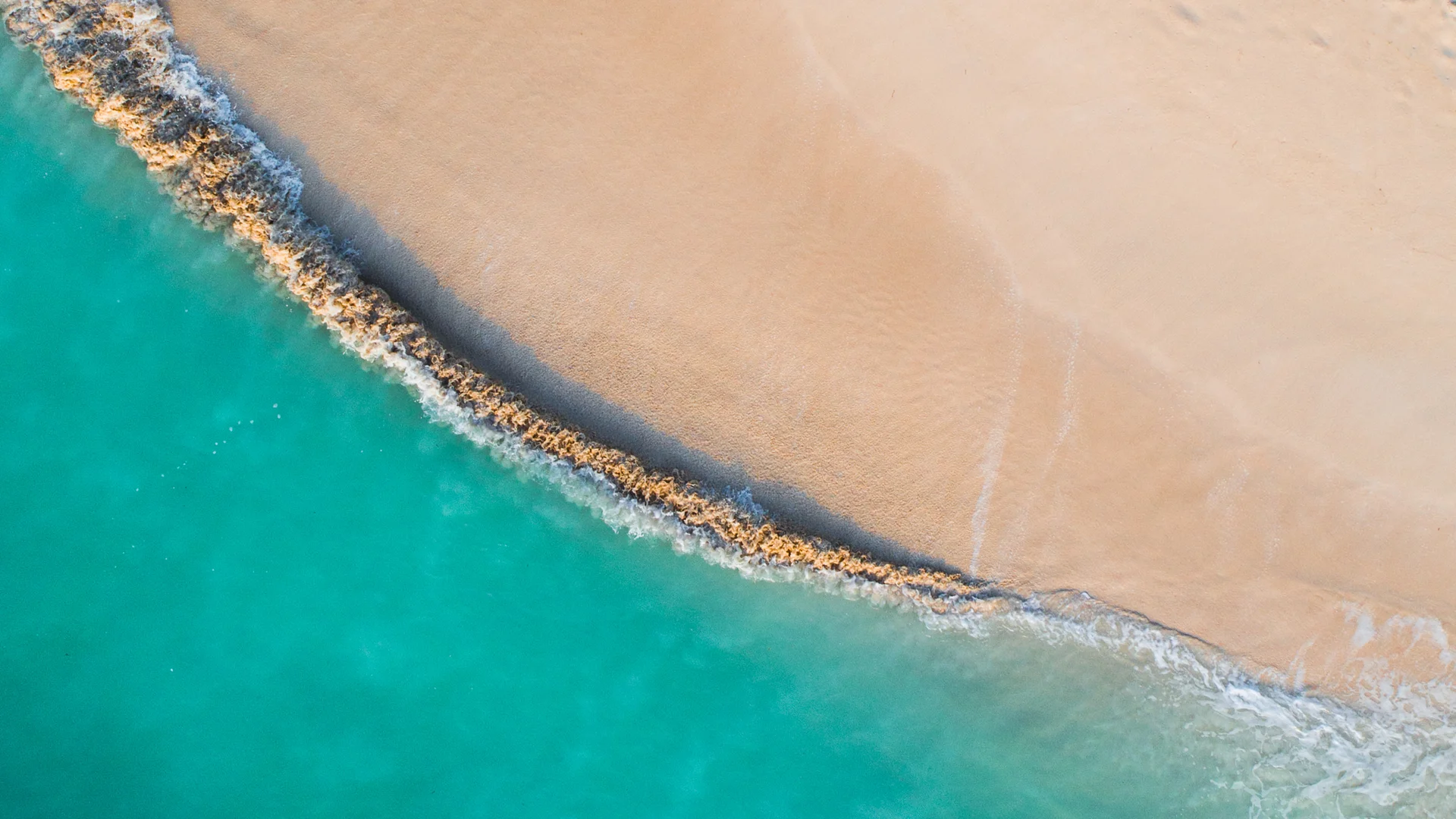
Mbudya Island Marine Reserve
Mbudya Island Marine Reserve is a protected coastal escape off northern Dar es Salaam, close to the Kunduchi shoreline. Part of the Dar es Salaam Marine Reserves system, it combines sandy shores, coastal vegetation and surrounding marine habitats. A visit can offer a change of pace from the city: a boat journey, beach time and, when conditions and the agreed programme allow, swimming or snorkelling. The island suits a carefully arranged day trip rather than an expectation of resort facilities. Decide how much time you want on the beach, whether you need a guide for a short walk, and whether an in-water activity is appropriate for everyone in the group. Confirm the departure beach, boat operator, reserve entry arrangements and collection time before leaving the mainland. Keep the day flexible around the skipper’s assessment of the weather and sea. Mbudya’s shore is more varied than a single postcard view suggests. Sandy areas sit alongside rocky intertidal habitat, and the surrounding waters include reef and seagrass environments. Different tides reveal different parts of the shore. These are living habitats, so enjoy them without taking shells, disturbing animals or walking over coral. Follow the current local guidance on which paths, beaches and water-entry points visitors may use. The Marine Parks and Reserves Unit identifies coconut crabs as a notable feature of Mbudya. Marine fish, shore life and birds add interest to a nature-focused visit, but encounters cannot be scheduled. Avoid making a particular animal sighting the purpose of a short trip. Observe quietly, keep a respectful distance and ask the guide about conservation rather than encouraging handling or feeding for photographs. Swimming and snorkelling depend on the day’s tide, wind, waves and visibility as well as the participant’s ability. Arrange a briefing, suitable equipment and support in advance. Do not assume that clear-looking water is calm or that every side of the island is suitable for entry. Keep away from boat traffic, avoid touching marine life and accept a shore-based alternative if the operator advises against going into the sea. A simple planning outline is to leave your Dar es Salaam accommodation with time for traffic, meet the operator at the confirmed northern-coast departure point, complete the required formalities and cross to the island. After a briefing, divide the available hours between relaxation, an agreed walk or a suitable water activity. Allow time for lunch if arranged, then return at the agreed time while conditions permit. This outline does not establish a fixed boat timetable, guarantee activities or include services that have not been booked. Beach shade and local meal options have been associated with Mbudya visits, but availability, menus and prices should be reconfirmed. Ask whether a banda or seating is reserved and whether meals, bottled water and equipment are included. Tell the organiser about dietary requirements beforehand, carry the supplies you need and clarify payment arrangements. A photographed shelter should not be treated as evidence of a particular facility’s current condition. Pack for a boat-and-beach day: sun protection, a hat, drinking water, a towel, appropriate clothing and a waterproof bag for valuables. Ask about footwear for boarding and any walking you plan. Families should check child-sized lifejackets and supervision arrangements; travellers with access needs should discuss the actual boat, boarding method and terrain before confirming. Arrange the return transport as carefully as the outward journey. Reserve fees, boat charges and additional services may be separate. Request an itemised quotation and confirm current visitor-category charges, return transfers, cancellation arrangements and what happens if weather prevents the crossing. Overnight camping or specialist activities require separate confirmation with reserve management and the organiser; they are not assumed in this day-trip description. Leave space in the wider itinerary for a delayed or cancelled sea excursion.
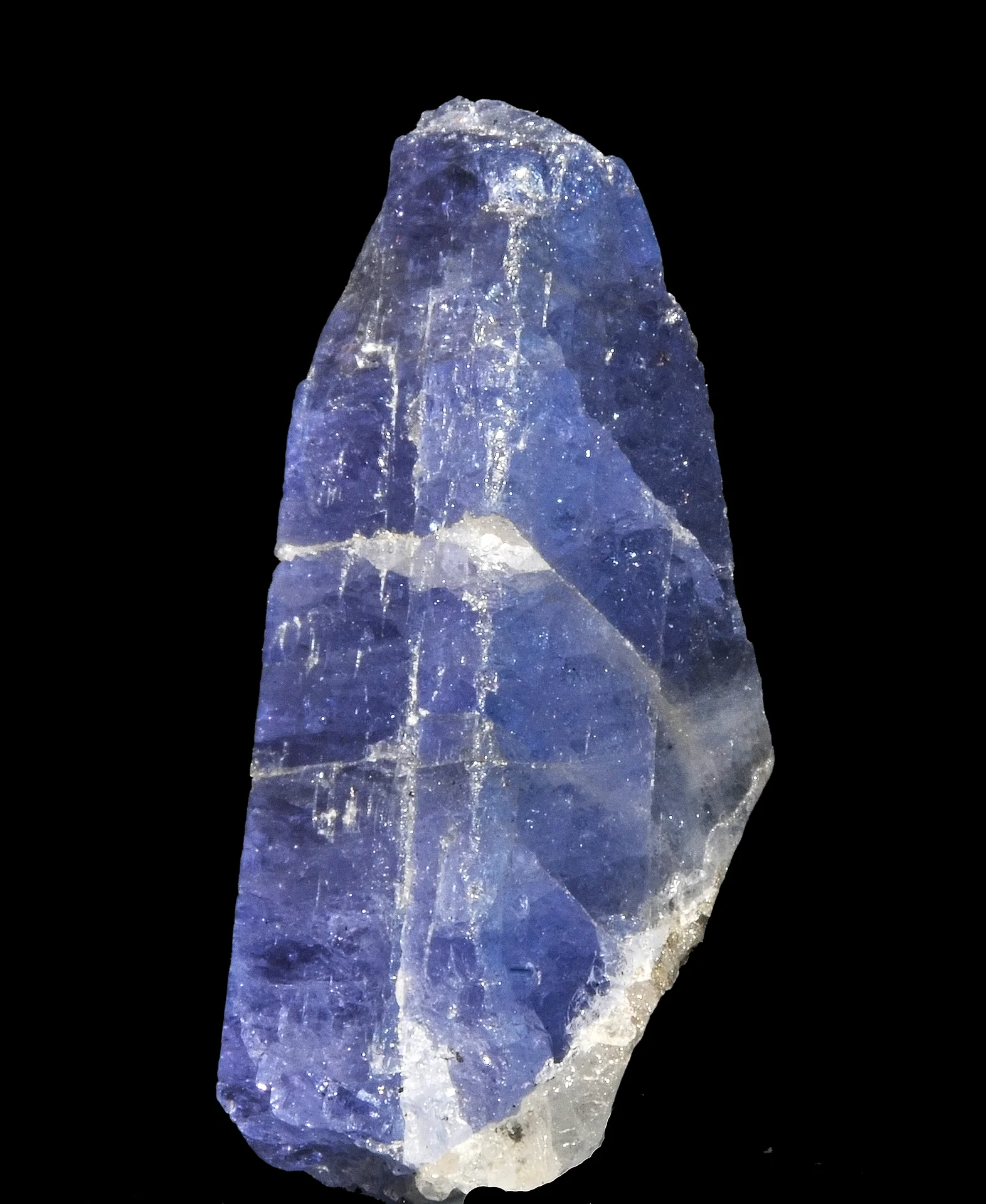
Mererani
Mererani, also known as Mirerani, introduces travellers to Tanzania’s tanzanite story. This working mining town in Simanjiro District, Manyara Region, is associated with the Mererani Hills, the commercial source of the blue-to-violet variety of zoisite known as tanzanite. A thoughtfully arranged visit can focus on mineral heritage, gemstone interpretation and the everyday life of a town shaped by mining. With a knowledgeable local guide and confirmed appointments, visitors can learn how colour, cut and clarity affect a gemstone’s appearance and ask about cutting, polishing and heat treatment. Gemstone viewing, trader meetings and craft demonstrations can be included when a suitable host confirms availability. Purchases are optional, and the itinerary should leave time for questions and local orientation. The mining zone is a controlled area. Entry requires current authorization and compliance with official procedures. A town excursion does not include access to a shaft or underground workings. Confirm the precise itinerary, permissions, host, safety arrangements and photography restrictions before travel. Choose an experience suited to the ages, mobility and interests of everyone in your group. Mererani can be planned as a specialist excursion from Arusha or Moshi, or fitted around a Kilimanjaro airport transfer when timing allows. Allow a flexible day for driving and appointments. Carry water and sun protection, wear practical closed shoes, and ask permission before photographing people or workplaces. If you choose to buy a gemstone, use a licensed seller, retain a detailed invoice, and check the current documentation required to take it out of Tanzania.
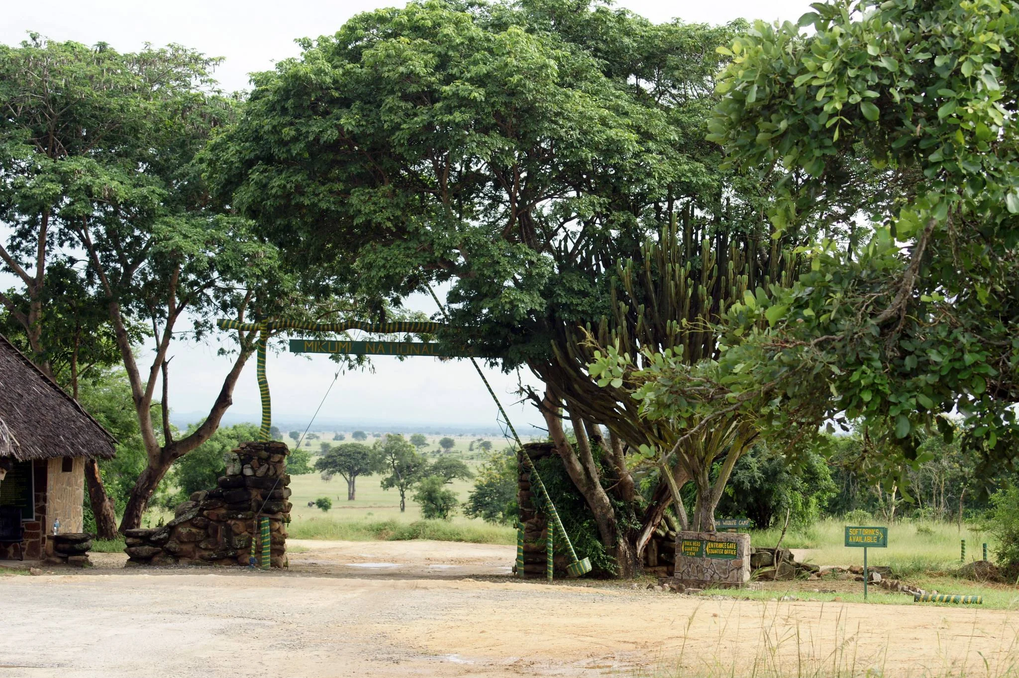
Mikumi National Park
Mikumi National Park is one of the most accessible and rewarding safari destinations in Tanzania, combining open savanna, reliable wildlife viewing and excellent road connections with the country's Southern Safari Circuit. Located in Morogoro Region, Mikumi covers approximately 3,230 square kilometres and is centered around the Mkata Floodplain, a broad landscape of open grassland, seasonal wetlands and acacia savanna where wildlife is often easy to observe. The Mkata Floodplain is the visual heart of the park. Its long sightlines, scattered acacia trees and concentrations of grazing animals have led to frequent comparisons with the Serengeti, although Mikumi has its own distinctive southern Tanzania character. Visitors can see elephants, African buffalo, giraffes, zebras, wildebeest, eland, impala, hippos and many other herbivores. Lions are regularly encountered, while leopards and spotted hyenas occur in woodland and riverine habitats. Water is especially important during the dry season. Seasonal pans, the Mkata River and the park's hippo pools can attract wildlife as conditions become drier across the landscape. Mikumi is also an excellent birdwatching destination, with more than 400 recorded species. Rollers, bee-eaters, hornbills, eagles, storks and many waterbirds can be seen across the park's grassland, woodland and wetland habitats. One of Mikumi's greatest advantages is accessibility. TANAPA currently estimates approximately three to five hours by road from Dar es Salaam depending on traffic, while Morogoro is much closer. Scheduled and charter flights also connect with Mikumi Airstrip. This makes Mikumi particularly useful for first-time safari travelers, families, short-stay visitors and travelers who want a genuine wildlife experience without committing immediately to a long safari. Mikumi also works strategically within longer Southern Tanzania itineraries. It can be combined with Udzungwa Mountains National Park, Nyerere National Park and Ruaha National Park to create a varied journey through wildlife, forests, waterfalls and remote southern landscapes. With TanzaLux Safaris, Mikumi can be experienced as a private day safari, short weekend safari or part of a longer Southern Tanzania itinerary.
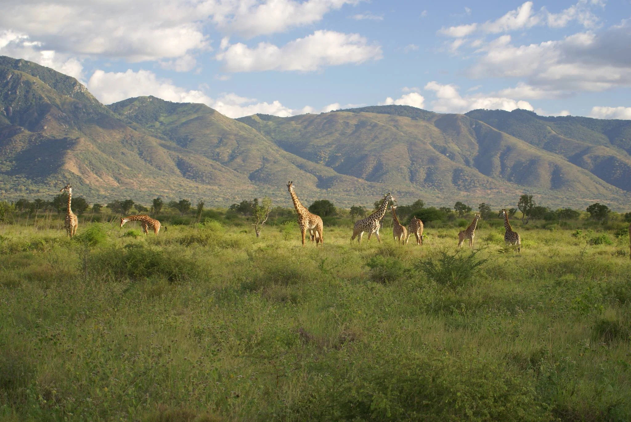
Mkomazi National Park
Mkomazi National Park offers a different side of a Tanzania safari: broad mountain views, dry-country wildlife and a strong conservation story, away from the busiest northern safari routes. The park lies in northeastern Tanzania, close to Same, with the Pare and Usambara mountain landscapes shaping its surroundings. Along the Kenyan border it connects with the wider Tsavo ecosystem, making it part of an important cross-border landscape for wildlife. Open grassland, thorny bush, wooded valleys and scattered baobabs give each drive a varied sense of place. The park is particularly associated with the conservation of eastern black rhinos and African wild dogs. This work is a major reason to include Mkomazi in an itinerary, but it needs to be understood accurately. A rhino sanctuary experience is a managed visit, with its own access arrangements, timing and charges. It should be confirmed before travel rather than assumed to be included in an ordinary park game drive. African wild dog conservation is also part of Mkomazi’s story; sightings in the wider park or access to any conservation facility depend on current arrangements and cannot be promised. Game drives explore a landscape well suited to patient observation. Giraffes, zebras, elephants, buffaloes and several antelope species occur in the park, with sightings influenced by rainfall, vegetation and where wildlife moves on the day. Look beyond the familiar safari animals for dry-country specialists such as fringe-eared oryx, gerenuk and lesser kudu. These species make the park especially rewarding for travellers who enjoy the detail of an ecosystem rather than counting only the most famous animals. Predators can be elusive, so allow time and let your guide choose routes according to conditions. Birdwatching adds another layer to the visit. Woodland edges, open country and areas around water offer different habitats, and a pair of binoculars helps turn quieter stretches of a game drive into productive birding time. Photographers can work with the contrast between wildlife, thorn trees, wide skies and mountain backdrops. When the air is clear, distant views may include Kilimanjaro, although cloud and visibility determine what can be seen. Expect dust, changing light and long stretches of landscape rather than a guaranteed succession of close animal encounters. The generally drier months from June to October are a practical choice for game viewing and travel on park tracks. As vegetation thins and water becomes more limited, wildlife can be easier to locate, though no season guarantees sightings. The greener months bring fresh growth, more dramatic skies and good opportunities to focus on birds and scenery. During heavier rains, some routes may be slow or unsuitable, so a flexible programme and a capable safari vehicle matter more than a fixed checklist of stops. A carefully planned day visit can work from Same or the Moshi area, particularly when the sanctuary arrangements are confirmed in advance. One or two nights allow a less hurried rhythm, with more time for game drives, birding and the conservation visit. Arusha departures need a realistic allowance for the longer road journey. Travellers continuing towards the Usambara Mountains or the coast can use Mkomazi as part of a broader route, with each transfer planned around the actual overnight locations. Accommodation may be arranged in or around the park, depending on current availability and the style of trip. Confirm the chosen camp or lodge, meal arrangements and travel time to the entrance before booking. Bring sun protection, drinking water, binoculars, practical walking shoes and a layer for cooler mornings. Walking, hiking or other special activities must be authorised and arranged with the appropriate park team; independent walks in wildlife areas are not part of a standard visit. TanzaLux can build an itinerary that balances wildlife viewing, conservation learning and travel time, with park entry, sanctuary charges, accommodation and optional activities clearly set out in the quotation.
Mnazi Bay - Ruvuma Estuary Marine Park
Mnazi Bay–Ruvuma Estuary Marine Park protects a varied stretch of Tanzania’s southeastern Indian Ocean coast, where coral reefs, seagrass beds, mangroves and sandy shores meet an important river estuary. Located in Mtwara Rural District, Mtwara Region, the park offers an engaging coastal experience for travellers interested in marine nature, quieter beaches and locally arranged activities. A well-planned visit combines time on land with suitable sea excursions, while giving tides, weather and conservation requirements a central place in the itinerary. THE PARK AT A GLANCE Gazetted in 2000, the marine park covers approximately 650 square kilometres, including marine waters and coastal land. It is administered through the Marine Parks and Reserves Unit (MPRU). Its protected landscape includes Mnazi Bay, Msimbati Channel, Ruvula Peninsula and the Ruvuma Estuary. The river forms the Tanzania–Mozambique border in this coastal area; visiting the Tanzanian park does not itself require crossing into Mozambique. The park’s name describes several connected environments rather than one beach with every attraction visible from the same viewpoint. Plan the specific shore, reef or excursion you wish to visit and confirm the meeting point with the park and organiser. Ruvula is a peninsula, while the bay also contains islands including Namponda, Mmongo and Kisiwa Kidogo. Access to an island or estuary site needs its own arrangements, permissions and assessment of conditions. CORAL REEFS, SEAGRASS AND MANGROVES The appeal extends beyond the beach. Reefs provide habitat for marine life, seagrass adds another underwater environment, and mangroves connect land and sea along sheltered shores and estuarine areas. Together these habitats support the ecological character of the park. A knowledgeable local guide can help visitors understand why protecting one environment also matters to the others, instead of treating a reef or mangrove stand as an isolated attraction. Choose an outing that matches your interests and experience. A shore-based nature walk can be rewarding without entering the water, while a properly arranged reef excursion provides a different perspective. Do not assume that every reef is accessible from the beach or that a large park guarantees good visibility at every site. The selected route, tide, sea state and available operator determine what is practical on the day. Keep a land-based alternative in the programme. MSIMBATI, RUVULA AND BEACH TIME Plan a Msimbati visit around a confirmed meeting point and suitable coastal activities. Beach time can include a suitable shore walk, landscape photography and a relaxed break in an area where visitor access is agreed. Ruvula’s coastal scenery can form part of the programme when the route and conditions are suitable. Ask which sections are appropriate for the group and where shore access may be affected by tides or property boundaries. Coastal photographs can show changing light, water colour, vegetation and the relationship between bay and open sea. Low tide and high tide create different scenes, but low water does not make every exposed surface safe to walk on. Stay on a recommended route and avoid stepping on living reef or seagrass. For a short visit, a carefully chosen viewpoint and enough time to enjoy it may be more satisfying than attempting several distant sites. SNORKELLING AND SCUBA DIVING Snorkelling is a potential way to experience permitted reef sites when it is arranged with a suitable operator and accepted by the park. Confirm the location, equipment, guide provision, ability requirements and the planned entry and exit before booking. Tell the organiser about the group’s experience, including anyone who is a beginner. Conditions can require a different site, a shorter outing or cancellation, so underwater visibility and particular wildlife sightings should never be guaranteed. Scuba diving needs separate advance planning. Check current park permissions, qualified supervision, equipment availability, the requirements for your level of experience and the operator’s emergency arrangements. Do not assume an operating dive centre, daily departure or introductory course is available merely because the park contains reefs. A confirmed diving plan should identify the operator and sites rather than leaving these details until arrival. Respect the briefing and maintain control in the water to avoid contact with coral or other marine life. BOATS, ISLANDS AND THE ESTUARY A suitably arranged boat outing may introduce visitors to bay scenery, selected islands or an approved estuary route. Each option has different logistics, so establish the boarding point, journey length, landing arrangements and return plan in advance. Choose a suitable vessel, use properly fitted lifejackets and follow the operator’s assessment of wind, tides and sea conditions. Shore or island access is not implied simply by having a boat available. The Ruvuma Estuary brings a river-mouth landscape into the wider coastal experience. An excursion should use a route approved for the planned activity, with local guidance on conditions and access. Do not extend a trip across the international border informally. Visitors interested mainly in mangroves or bird observations can discuss an appropriate viewing route without assuming that entering every channel, mudflat or vegetation area is permitted. DOLPHINS, TURTLES AND SEASONAL WHALES Dolphins have been documented in the bay and channel waters, while green turtles use protected nesting habitat managed with local communities. Hawksbill turtles are also recorded in park research. These are reasons to value the ecosystem, rather than promises of an encounter during a short excursion. A beach visit does not automatically include a turtle-nesting experience. Any observation programme must be specifically confirmed and conducted according to the park’s guidance. Seasonal humpback-whale watching adds another possibility around Msimbati. Official announcements associate the season with approximately July or August through November, with the excursion calendar confirmed for the current year. Wildlife movements vary, and an advertised season does not guarantee a sighting. Use a suitable operator, allow the animals space and follow instructions about vessel approach. Plan the trip around the wider coastal experience so it remains worthwhile when wildlife is not visible. WHEN TO VISIT AND HOW LONG TO STAY Mtwara’s regional climate guidance describes June to October as generally drier and cooler, with a wetter period from November to May. The drier period is a useful starting point for planning coastal walks and road travel. However, sea conditions and underwater visibility depend on more than rainfall. Wind, tides and the chosen site still determine whether a marine excursion is suitable. October and November may overlap seasonal whale interest and changing weather, so confirm both the activity calendar and conditions. A day excursion can work for a confirmed shore visit or one principal activity, with realistic outward and return transfers. Two or three nights in a suitable coastal base can give more flexibility for weather and allow a slower programme. Add time when combining the park with other Mtwara-area destinations. Avoid making a necessary onward flight depend on the last possible boat outing; an unhurried return and a spare activity option make the itinerary easier to manage. GETTING THERE AND ARRANGING ENTRY Mtwara Airport serves the regional gateway. Check current flights for the travel dates and arrange the onward road journey separately. The exact transfer depends on your accommodation and the agreed meeting point around Msimbati or another approved park location. Request a date-specific route, distance and road-time estimate rather than relying on one fixed journey duration for the whole park. Confirm the final approach, vehicle suitability, arrival time and return transport before departure. Current MPRU visitor guidance calls for a valid entry permit and official identification. Arrange the correct permit through the official process, carry it with your identification and confirm how the organiser handles entry. Entrance fees depend on visitor categories, and additional activity, boat or camping charges may apply. Obtain current totals and payment arrangements before travel rather than treating an older published tariff as a guaranteed present-day price. [Official visitor guidance](https://www.marineparks.go.tz/pages/visitor-guide). GUIDES, CAMPING AND RECREATIONAL FISHING Guide requirements should be confirmed for the specific site and activity. A local guide can help with nature interpretation, introductions, route selection and tidal planning, while water activities need appropriately qualified provision. Permission to enter the park does not automatically authorise every excursion. Published park zoning addresses activities such as diving and camping, so check current permissions with the park before adding them to a programme. Camping requires confirmation of an approved location, access, facilities, permissions and any applicable charges; a beach photograph does not establish an available campsite. Recreational fishing also needs a specific check. The published management framework restricts sport fishing to appropriate general-use zones with permission. Do not arrange fishing or collect marine organisms without current authorisation. Visitors who prefer a simpler programme can choose beach scenery, guided nature interpretation and a suitable boat or reef outing instead. ACCOMMODATION, PACKING AND RESPECTFUL VISITING Confirm the exact location and current services of the chosen accommodation, including meals, bathrooms, water, power, connectivity, parking and transfer arrangements. Guests with mobility needs should ask about steps, path surfaces and boarding a boat. Families should select activities according to the children’s ability and supervise closely around water and working landing areas. A quiet coast does not automatically mean a staffed swimming beach, accessible facilities or equipment available on demand. Bring sun protection, a hat, drinking water, a light rain layer and footwear suitable for the confirmed shore route. Protect cameras and phones from sand and salt spray. Ask before photographing residents, houses or fishing work, and use consenting local hosts for cultural encounters. Take litter away, keep wildlife undisturbed and leave shells, coral and other marine material where they belong. TanzaLux can plan a visit around your dates, interests and comfort level, with the park, accommodation and optional activities confirmed before travel.
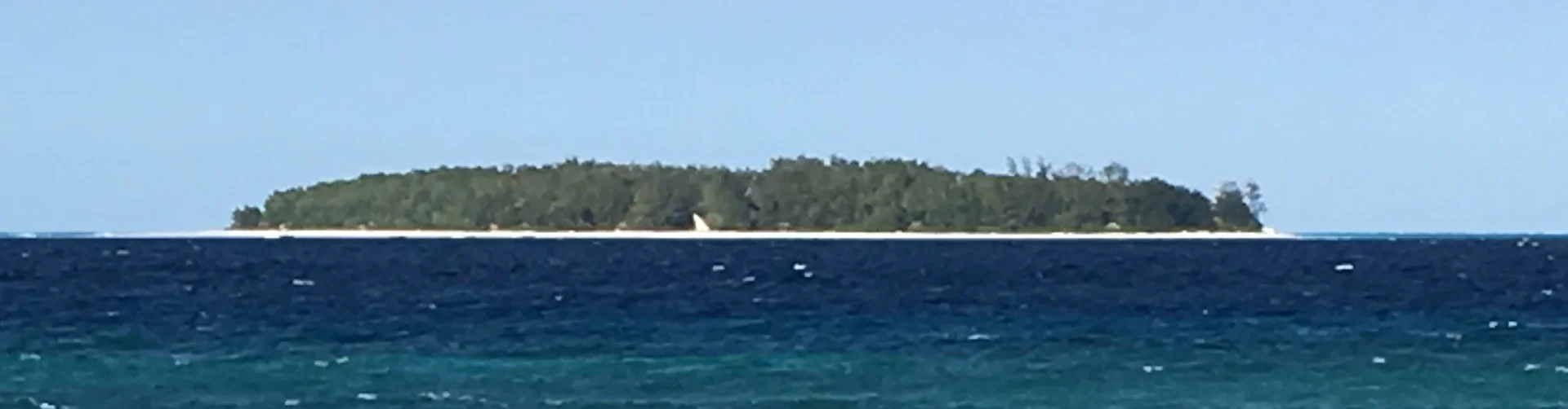
Mnemba Island Conservation Area
Mnemba Island Conservation Area is a marine destination off the northeast coast of Unguja, Zanzibar, opposite the Muyuni and Matemwe coast. Its appeal is the underwater landscape: coral formations, schools of reef fish and the changing colours of the Indian Ocean. A guided snorkelling or diving excursion makes a memorable addition to a Zanzibar stay, while a separately booked stay on Mnemba itself offers a private-island experience. Plan around your interests, ability and the conditions on the day. Understand the destination Mnemba's island, the reefs around it and the wider conservation area should not be treated as interchangeable. Day excursions visit permitted marine sites by boat; they do not normally include landing on the private island or using its lodge facilities. Overnight access is arranged through &Beyond Mnemba Island. Ask your operator exactly which waters, sandbanks or other stops your booking covers. A marine-area ticket should never be assumed to grant access to the island's beach. Snorkelling the reef A guided trip lets you explore coral habitat from the surface, with the boat close enough to provide support. Look for movement among the corals, fish gathering over sandy patches and smaller creatures that are easy to overlook. Operators choose sites according to tide, current and visibility. Wattabomi and West Gardens are among the locations described in Tanzania's tourism information, but the day's route should be selected by the guide. Discuss swimming ability before booking and request appropriate flotation support when needed. Diving possibilities Mnemba's reef system offers different underwater settings, from coral gardens to deeper slopes and walls. Kichwani and Aquarium are familiar site names, although a name alone does not establish that a dive is suitable for your experience. Arrange diving with a qualified centre, share your certification and recent experience, and let the professional team set the site and depth. A supervised introductory programme may be an option for newcomers where offered. Diving and snorkelling are distinct activities and should be booked with clear expectations about equipment, instruction and time in the water. Wildlife and conservation Reef fish and marine invertebrates provide the everyday interest. Green turtles are associated with the island's nesting habitat, while turtles and dolphins may be encountered in surrounding waters. Sightings are variable and should remain a possibility rather than the purpose of a guaranteed encounter. Conservation work associated with the island includes turtle-nest monitoring, coral nurseries and reef restoration through Oceans Without Borders. Ask how your chosen trip respects these efforts. Never chase dolphins, surround them with boats, touch animals or feed fish for photographs. A comfortable day at sea A suggested programme starts with a briefing and equipment fitting, followed by a boat transfer, guided water time and a rest before returning to Unguja. Some trips include more than one reef stop, refreshments or lunch; verify the actual itinerary rather than assuming a standard package. Allow roughly half a day for a locally based excursion and longer when road transfers are involved. Sea conditions can require a change of plan, so keep an alternative activity available and avoid a tight onward flight connection. Where to stay Most day visitors stay on Unguja, choosing accommodation according to their wider holiday plans and the departure point. Matemwe and the northeast coast are convenient for locally arranged reef trips. Mnemba itself has a small &Beyond lodge with twelve bandas and a separate reservation process. Island guest activities and facilities do not automatically apply to a reef day trip. If considering an overnight stay, confirm the room arrangement, transfer arrangements, seasonal operating dates and any specific needs directly before booking. Visit with care Choose a properly equipped operator that briefs guests, respects wildlife and explains the applicable conservation charges. Keep fins and hands clear of coral, leave shells and other natural objects in place, and take litter back to shore. Bring swimwear, a towel, a hat, sun protection, drinking water and a dry bag; ask what the crew supplies. Boarding may involve a beach or shallow water depending on the departure point and tide. Families and guests with limited mobility should discuss the actual boat and access arrangements in advance. Combine Mnemba with Zanzibar A reef excursion pairs naturally with time on Unguja's beaches or a separately arranged Stone Town or spice-farm visit. Avoid squeezing too many activities into the same day. Giving the marine outing room in the itinerary makes it easier to follow the guide's advice, rest between sessions and enjoy the setting without rushing.
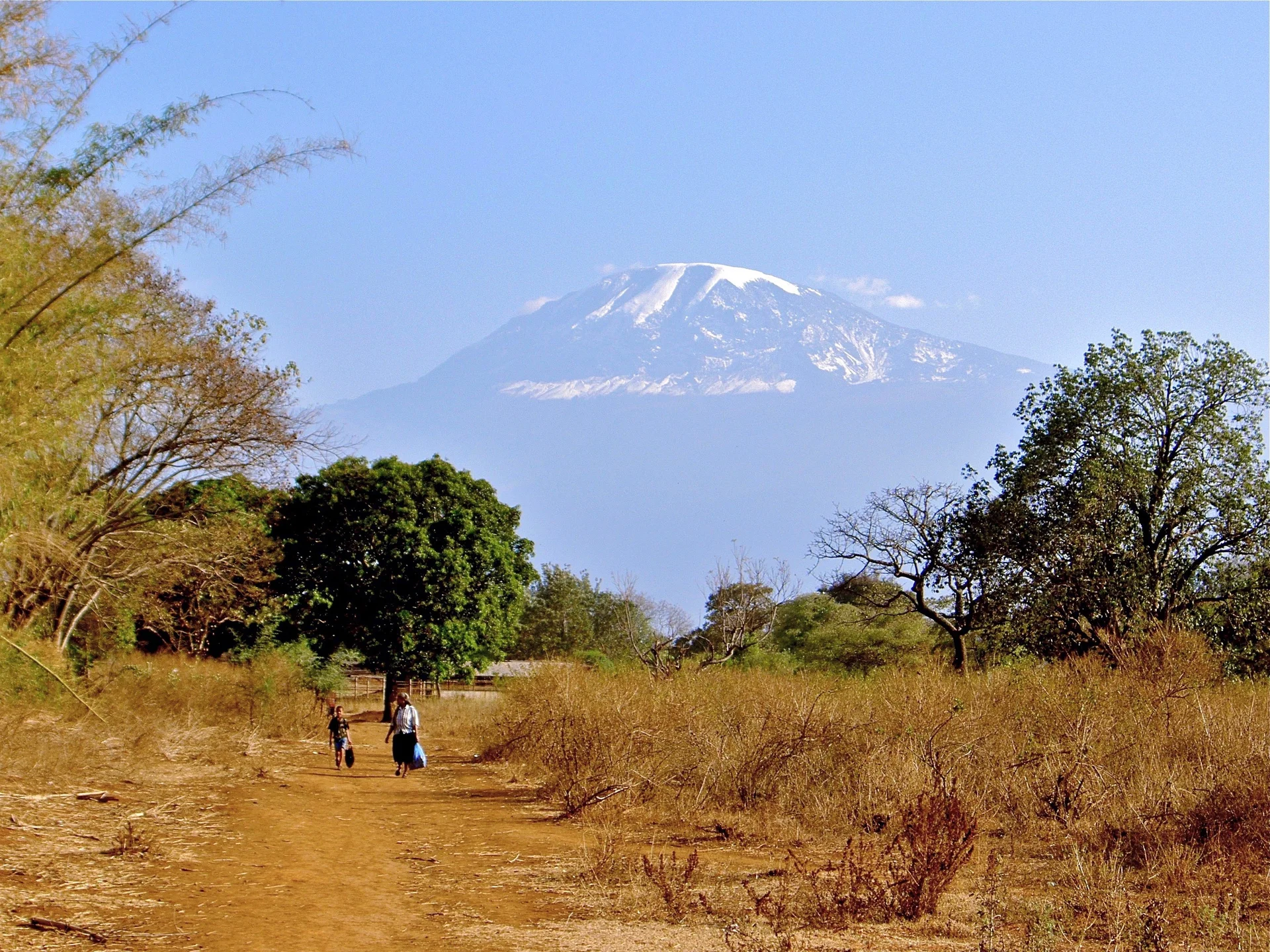
Moshi
Moshi is a welcoming town at the foot of Mount Kilimanjaro in northern Tanzania and a convenient base for mountain adventures, coffee experiences and cultural day trips. Set in Kilimanjaro Region, it brings together lively markets, local cafés and views of the mountain when the clouds clear. Spend time exploring the town with a local guide, tasting Tanzanian coffee and discovering the farming communities on Kilimanjaro’s lower slopes. Nearby Materuni offers a waterfall walk and a hands-on coffee experience, while Marangu introduces visitors to Chagga heritage. Separate excursions can take you to the clear waters of Chemka (Kikuletwa) springs or the shaded trails of Rau Nature Forest Reserve. Moshi works well as a place to prepare for a Kilimanjaro trek or unwind afterwards, and it can be combined with a northern Tanzania safari. A relaxed one- to three-night stay allows time for town life and selected day trips. Mountain visibility, trail conditions and wildlife sightings depend on the weather and season; park visits and excursions are arranged separately.
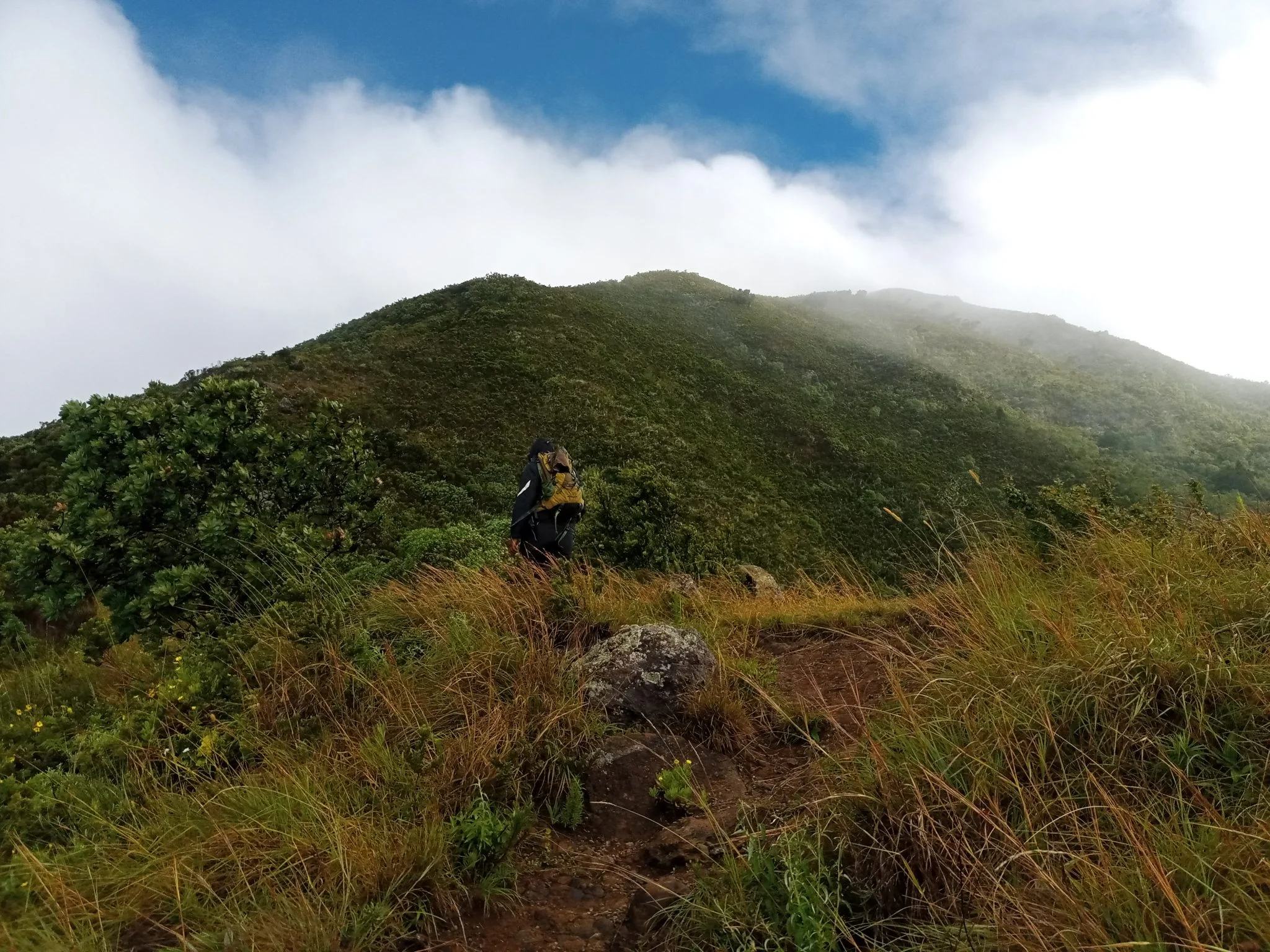
Mount Hanang
Discover Mount Hanang Rising above Katesh in Tanzania’s Manyara Region, Mount Hanang offers a rewarding mountain adventure beyond the familiar northern safari circuit. At approximately 3,423 metres, it is Tanzania’s fourth-highest mountain: a substantial climb with changing vegetation, open upper slopes and expansive views when the weather clears. Its appeal lies in the journey through a varied mountain landscape as much as in reaching the summit. Travellers who enjoy walking, natural history, photography and a quieter setting can make Hanang a distinctive part of a Tanzania itinerary. The mountain is protected within Mount Hanang Nature Forest Reserve, managed by the Tanzania Forest Services Agency. It lies in Hanang District and is approached through the Katesh area. This is a forest reserve destination, with its own access arrangements. Plan the excursion with the reserve administration and a knowledgeable local guide before travelling, so that the chosen route, permissions, transport and available support match the trip you intend to take. A mountain of changing habitats One of Hanang’s most interesting qualities is its ecological variety. The reserve includes dense forest, open forest, woodland, bushland, grassland and heathland. These environments change the character of a walk as you gain height: shaded vegetation gives way to more exposed landscapes, and the pace naturally slows as the air becomes thinner. Forest and hillside vegetation also contribute to the importance of this protected mountain as a natural catchment and a place for conservation. Visitors should expect a mountain landscape rather than a conventional vehicle-based wildlife safari. Time spent observing vegetation, listening for birds and examining the transition between habitats adds depth to the climb. TFS records mammals including klipspringer, vervet monkeys, bushbabies, rock hyrax, bush pigs and olive baboons, as well as elusive leopard and spotted hyena. The Hanang mole-rat, Fukomys hanangensis, is a distinctive part of the mountain’s biodiversity; its underground habits make it a conservation interest rather than a promised sighting. Documented birds include Hartlaub’s turaco, speckled mousebird, little swift and cinnamon bracken warbler. Animal sightings depend on habitat, season and chance. A guide can interpret what is actually present along the permitted route and help keep wildlife observation respectful. Trekking and the summit experience A summit attempt requires stamina, steady pacing and realistic expectations. Although Hanang is lower than Kilimanjaro and Mount Meru, the climb still involves sustained ascent, uneven ground and a long descent. Weather, trail conditions, starting point and the group’s pace determine the time needed. Avoid booking around an inflexible summit timetable or treating a distance quoted for one route as valid for every approach. Tanzania Tourism identifies three approaches: Katesh from the southwest, Gendabi from the northwest and Giting from the east. Katesh is the commonly used approach. The appropriate route depends on current conditions, permission, local logistics and the group’s experience; confirm the actual starting point with your guide. Select an itinerary that fits the least experienced walker in the group. A guided lower-slope walk can be worthwhile for visitors who prefer scenery and forest interpretation without a summit objective. For a longer mountain outing, discuss whether an overnight plan is appropriate: camping is among the reserve’s listed activities, but locations, permission, water arrangements, equipment and support must be confirmed in advance. Do not assume that huts, meals, porters or serviced campsites are automatically included. Start with a clear plan for the descent and a conservative turnaround time. The summit is an optional achievement; returning safely is essential. Cloud can hide distant views, and wind, rain or slippery terrain may change the day’s objective. The guide should be able to adjust the walk when conditions or the group’s energy make continuing unwise. Altitude and preparation At this elevation, altitude can affect visitors even when they are physically fit. Allow time to adjust, walk steadily and discuss individual health concerns with a qualified clinician before the trip. Headache, nausea, dizziness or unusual fatigue after ascent should be reported promptly, with no further ascent while symptoms are assessed. Worsening symptoms require descent; confusion, poor coordination or breathlessness at rest require urgent assistance. A successful Hanang hike does not guarantee protection from altitude illness on another mountain. Prepare with regular walking and uphill exercise, and arrive rested. Wear broken-in hiking footwear with dependable grip. Carry a rain layer, warm insulating clothing, sun protection, enough drinking water and food for the agreed itinerary. Trekking poles can help on the descent, and a headlamp is useful even when the intention is to finish in daylight. Overnight trips require a separate equipment plan suited to cold, damp or windy conditions. Choose timing around mountain conditions Northern Tanzania’s generally drier period from June to October often offers a useful planning window for walking, but it does not guarantee clear skies or dry trails on Hanang. March to May usually brings the long rains, while shorter rains commonly affect part of October to December. January and February may offer drier intervals, with local conditions varying from year to year. Rain can make paths muddy and descents more demanding. Exposed upper slopes may feel cold even after a warm start near the mountain’s base. Check the local forecast and ask the guide or reserve team about the condition of the actual route shortly before departure. Allow flexibility in the itinerary rather than relying on a seasonal label alone. Katesh, access and local encounters Katesh is the practical starting area for organising a Hanang visit. Many travellers approach overland from Arusha or connect the mountain with a wider journey through Manyara. Road travel and the final approach to a trailhead depend on the selected route, road conditions and stops; obtain a current transfer estimate instead of assuming a fixed driving time. Travellers arriving through Kilimanjaro International Airport or Arusha Airport still need an onward road transfer. Use local knowledge to plan accommodation, meals, early departure logistics and return transport. Community visits can add a meaningful dimension to a mountain journey when arranged with willing hosts. Ask permission before photographing people, respect local customs and support local guides and services. The reserve’s visitor information also identifies Himiti Waterfalls, views of Gendabi salt lake, historical caves and Barabaig or Iraqw sacred places as local interests. Treat these as separately planned possibilities, with access and local consent checked; they are not automatic stops on a summit climb. Do not assume that a cultural encounter is included in the reserve entry or that any community can be visited without prior arrangements. Responsible travel on Hanang Stay on the route agreed with the guide and follow reserve instructions. Leave plants, rocks and wildlife undisturbed, carry out litter and avoid fires unless explicitly permitted under the arrangements for your visit. Keep noise low in forest areas and give animals space. Camping requires careful waste and sanitation planning, especially where facilities are limited. Before setting off, confirm entry permissions and charges, the guide arrangement, route and turnaround plan, weather assessment, drinking-water supply, communication options and emergency transport. Tell someone responsible about your intended return. This practical preparation protects both the group and the mountain, and makes it easier to enjoy the walk at a comfortable pace. Plan your Mount Hanang journey Hanang suits travellers who want an active experience with time to appreciate a protected mountain landscape. Combine it thoughtfully with other destinations, allowing recovery time and realistic transfers. TanzaLux can help shape a guided outing around your experience, available days and preferred level of activity, with access and services checked before the itinerary is confirmed.
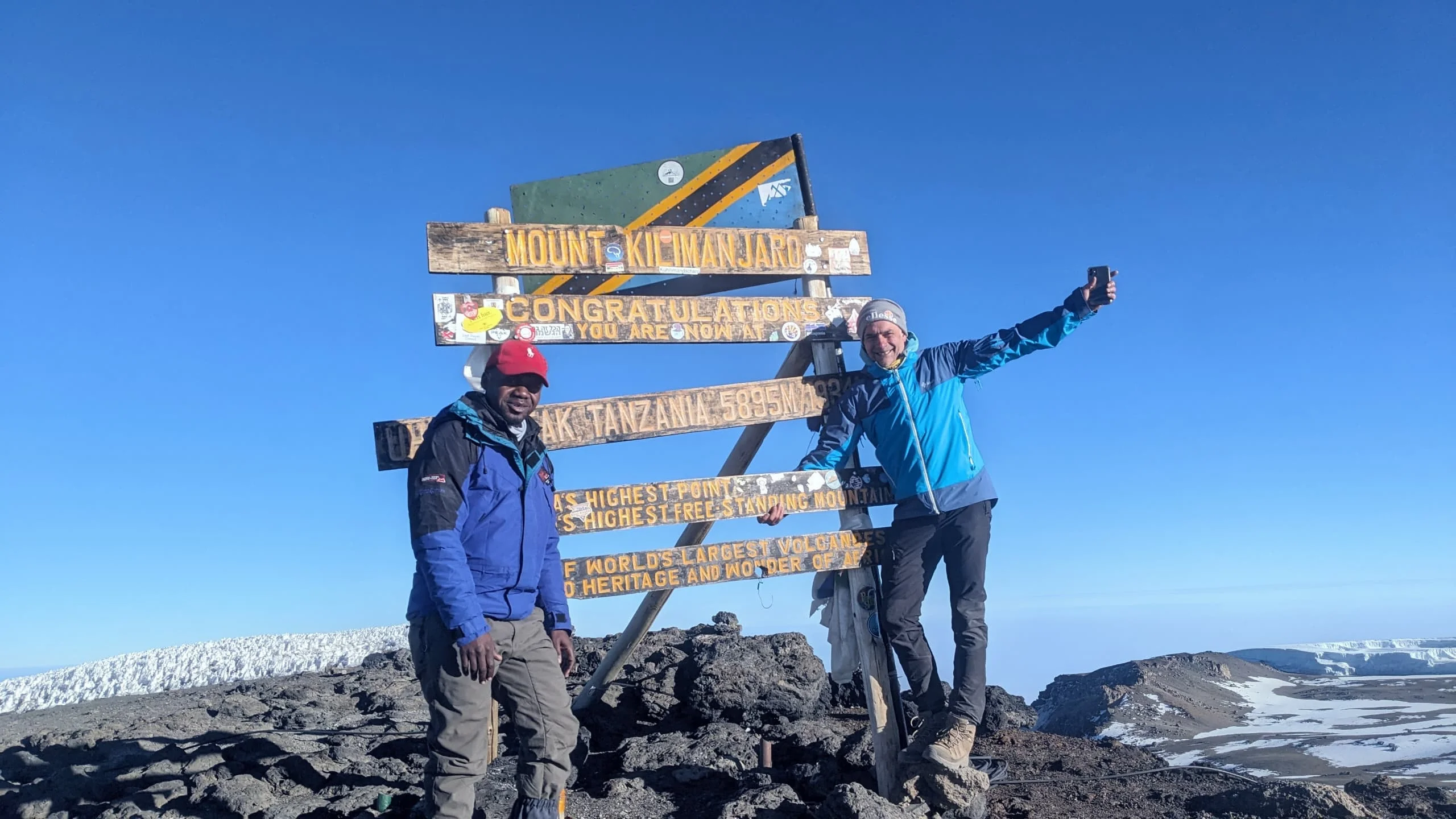
Mount Kilimanjaro
Mount Kilimanjaro is Tanzania's most iconic mountain and the highest peak in Africa, rising to 5,895 metres above sea level. Located in northern Tanzania near Moshi, Kilimanjaro is also the world's highest free-standing mountain and one of Africa's most extraordinary trekking destinations. Kilimanjaro is a volcanic massif formed by three major volcanic cones: Kibo, Mawenzi and Shira. Kibo is the highest and contains Uhuru Peak, the summit that attracts trekkers from around the world. Mawenzi rises to 5,149 metres, while the Shira Plateau reaches approximately 3,962 metres. One of the mountain's greatest attractions is the dramatic change in scenery with altitude. A Kilimanjaro trek can pass through cultivated foothills, lush montane forest, heath and moorland, alpine desert and finally the high-altitude summit environment of Kibo. Travelers can choose from several established routes, including Machame, Marangu, Lemosho, Rongai, Northern Circuit and Umbwe. Each route has a different character, landscape, camping or hut arrangements and acclimatization profile. Beyond reaching Uhuru Peak, Kilimanjaro offers an opportunity to experience Tanzania's mountain landscapes, local Chagga heritage, remarkable biodiversity and changing ecosystems in one unforgettable journey. TanzaLux Safaris provides private Kilimanjaro trekking experiences with professional mountain guides, carefully planned itineraries, porters, accommodation before and after the climb, park arrangements and personalized support from arrival to summit and descent.
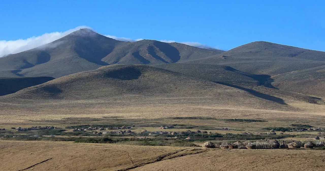
Mount Lolmalasin
Mount Lolmalasin rises above the Ngorongoro Crater Highlands as a rewarding destination for travellers who want to experience Tanzania on foot. Its open slopes, moorland, volcanic terrain and highland setting bring together mountain trekking, landscape interpretation and a strong sense of place. With an elevation of approximately 3,700 metres, it is widely described as Tanzania’s third-highest mountain after Kilimanjaro and Mount Meru, and the highest mountain within Ngorongoro Conservation Area. A DISTINCT MOUNTAIN IN THE CRATER HIGHLANDS Lolmalasin lies in the Nainokanoka highland area, near Olmoti on the approach toward Empakaai. The alternative spelling Loolmalasin is used in official geological and Geopark information. It is a separate mountain from Olmoti, Losirua and Mount Meru. A stay in the Ngorongoro highlands can provide a practical setting for an arranged trek, with the approach through the Nainokanoka or Bulati area confirmed locally. Its appeal is the mountain landscape itself, rather than the concentration of animals associated with a crater-floor game drive. UNDERSTANDING THE HEIGHT Published official sources give different precise summit elevations. Approximately 3,700 metres is therefore a useful planning description without implying that one disputed figure is universally accepted. Whatever number appears on a map, the altitude is significant for walking comfort and preparation. A sensible itinerary considers the starting elevation, recent altitude exposure, total ascent and time available for a safe return, rather than focusing only on reaching a particular summit height. AN ANCIENT VOLCANIC LANDSCAPE Lolmalasin belongs to the volcanic highlands associated with northern Tanzania’s Rift landscape. Geological records place its last known eruption in the Pleistocene and document no known Holocene eruption. Its scenery is shaped by an older volcanic history, weathering and the changing highland environment. A knowledgeable guide can help interpret the slopes, ridges and surrounding landforms without treating every visible rock as evidence of a recent eruption or assigning a precise formation date to the entire mountain. GRASSLAND, MOORLAND AND OPEN VIEWS Official conservation mapping identifies moorland associated with the Loolisirwa–Loolmalasin landscape. Trekking here can introduce open grassland, highland vegetation and volcanic slopes, with rocky ground and changes in exposure along the selected route. The wider Ngorongoro highlands contain a varied habitat mosaic, but every Lolmalasin itinerary should be described according to the trail actually chosen. Open views may reveal the surrounding Crater Highlands when conditions are clear, while cloud and mist can turn the experience into a much more enclosed mountain walk. WHAT THE TREK CAN FEEL LIKE A mountain ascent rewards steady movement, an interest in the landscape and a willingness to adapt to conditions. Uphill sections, uneven ground and the effect of altitude can make the day more demanding than a short nature walk. Time for rest stops, food, photographs and descent belongs in the plan from the beginning. Ask the guide about the route’s distance, elevation gain, terrain and any equipment requirements. A summit objective should suit the group’s ability and the day’s conditions, with a clear turnaround plan if weather or pace changes. PLAN THE ROUTE BEFORE TRAVELLING Organized hiking at Lolmalasin is recognized in official tourism and trail-development information. This does not establish one universal trailhead, a fixed round-trip distance or a guaranteed daily departure. Confirm the starting point, walking duration, transport, permitted route and any overnight arrangements with the local team and NCAA before travel. A vehicle suitable for highland roads is useful, and weather can affect the approach as well as the trail. Build a realistic schedule that protects daylight and allows a comfortable return to your accommodation. RANGER ACCOMPANIMENT AND INTERPRETATION Walking activities in Ngorongoro Conservation Area require prior arrangements and an NCAA armed ranger, and Mount Lolmalasin is a listed walking destination. A local guide can add route knowledge and interpretation of the landscape and culture, but does not replace the required ranger. Confirm conservation-area entry, walking permissions, current charges and ranger availability before departure. Keep together, follow the approved route and respect any closure or change requested by the ranger or site authorities. PREPARE FOR ALTITUDE Gradual acclimatization and conservative pacing matter near 3,700 metres; physical fitness does not prevent altitude illness. Build suitable altitude exposure into the wider itinerary and discuss relevant health concerns with a qualified clinician before travel. Report headache, nausea, dizziness or unusual fatigue after ascent and stop going higher pending assessment. Worsening symptoms require descent, while confusion, poor coordination or breathlessness at rest need urgent assistance. A Lolmalasin summit does not guarantee acclimatization for a later Kilimanjaro climb. SEASONS AND MOUNTAIN WEATHER June to October generally offers drier regional conditions, while January and February can provide another relatively dry interval. Long rains around March to May and shorter rains later in the year may make approaches and walking surfaces muddy or slippery. These are regional patterns, not a forecast for a summit day. Higher ground can be cold, windy or misty, and visibility may change quickly. Start with an appropriate local weather assessment and keep enough flexibility to shorten or reschedule the excursion when conditions require it. EQUIPMENT, FITNESS AND FAMILY SUITABILITY Bring sturdy walking boots, warm layers, a waterproof outer layer, sun protection, drinking water and food. A daypack and trekking poles can be useful, with any further equipment chosen for the approved route. Protect cameras from rain and keep essential items easy to reach. Families should discuss their children’s walking experience and altitude exposure with the guide before committing to an ascent. Visitors with limited mobility need a route-specific assessment of slopes, surface and distance; the mountain should not be presented as universally accessible or suitable for every beginner. A LIVING CULTURAL LANDSCAPE Lolmalasin has significance for local Maasai communities, and the highlands are also a living pastoral landscape. Local interpretation can deepen a visit when it is arranged respectfully and welcomed by hosts. Seek consent for photographs and visits, give livestock room and respect places identified as culturally sensitive. Community life and ceremonies should not be treated as guaranteed entertainment on a trekking itinerary. A thoughtful visit appreciates the mountain as a place with ecological and cultural meaning as well as scenic value. COMBINE THE HIGHLANDS WITHOUT RUSHING Lolmalasin can be considered alongside Olmoti, Empakaai or other approved highland experiences, depending on permissions, transport, fitness and time. These are separate excursions with their own terrain and requirements. A scenic driving route linking the highlands does not mean that a summit trek and every neighbouring attraction fit into one day. Any Bulati camping arrangement should use an approved location and be confirmed in advance. TanzaLux can help shape a mountain-focused itinerary with suitable pacing and locally confirmed access. PROTECT THE MOUNTAIN Stay on approved routes, take all litter away and leave plants, rocks and natural features in place. Observe animals from a respectful distance and follow ranger instructions throughout the trek. Confirm specialist filming or drone permissions before use. Give the mountain, local communities and changing weather the attention they deserve, and let a safe return remain part of every summit plan.
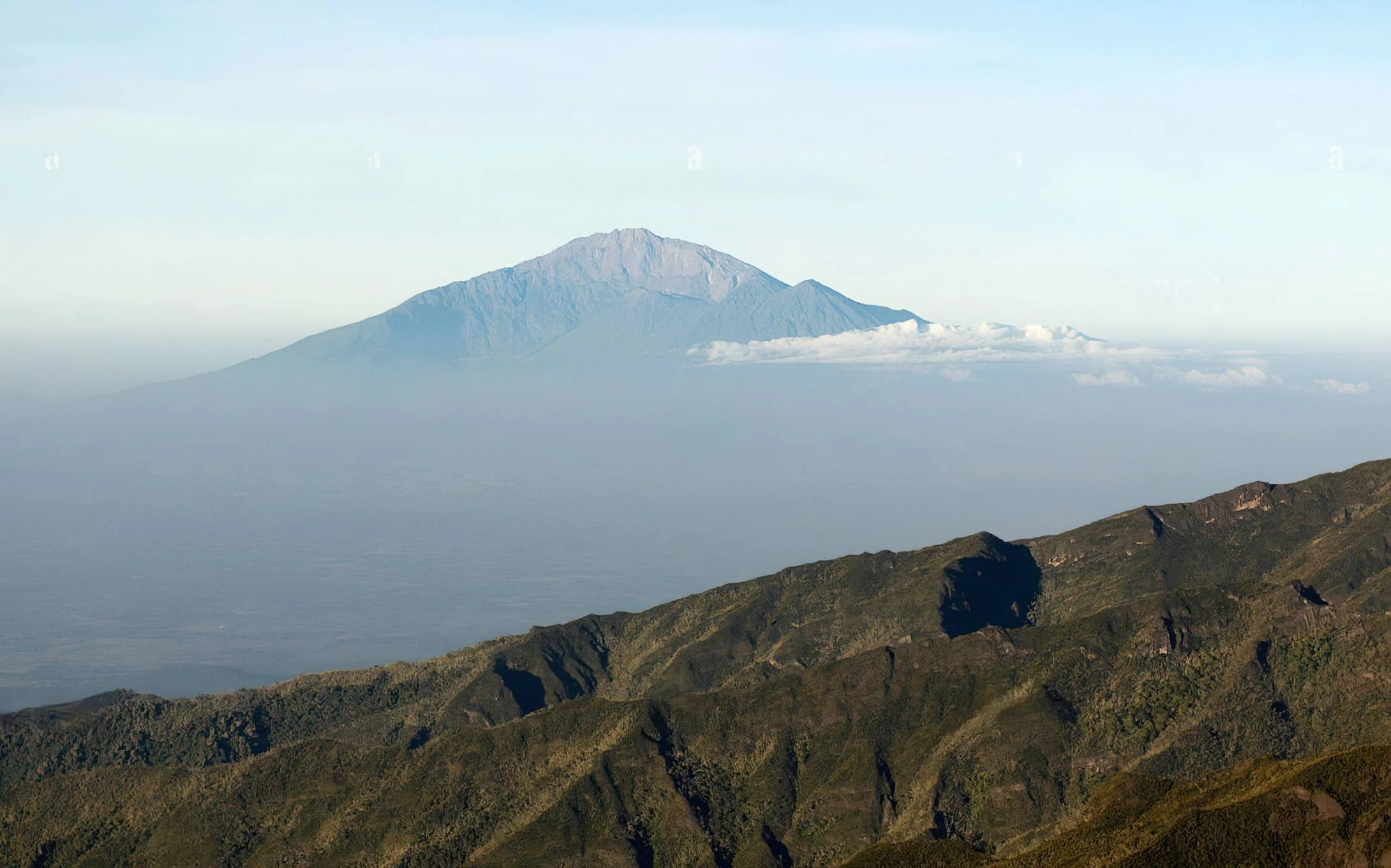
Mount Meru
Mount Meru is one of Tanzania’s most impressive natural landmarks and a remarkable destination for travellers seeking adventure, dramatic landscapes, and a deeper connection with nature. Rising to approximately 4,566 metres above sea level, Mount Meru is Tanzania’s second-highest mountain and the dominant geological feature of Arusha National Park. Located close to Arusha city, Mount Meru offers an extraordinary contrast between accessibility and wilderness. Within a relatively short distance of the city, travellers can move from open savannah and wildlife-rich grasslands into dense montane forest, giant heather zones, moorland, volcanic ridges, and high-altitude terrain. The mountain is an active stratovolcano with a distinctive horseshoe-shaped crater formed by a major collapse of its eastern side. This geological structure creates dramatic cliffs, deep valleys, volcanic formations, and spectacular views from the summit ridge. The mountain’s highest point, known as Socialist Peak, offers expansive views of the surrounding landscape and, on clear mornings, Mount Kilimanjaro in the distance. The standard Mount Meru trek follows the Momella Route and generally takes three to four days, although a four-day itinerary is commonly preferred because it allows more time for acclimatisation. The trek begins at Momella Gate in Arusha National Park and passes through several ecological zones, including open woodland, montane rainforest, heathland, moorland, and alpine desert. One of the unique features of Mount Meru is the possibility of encountering wildlife during the lower sections of the trek. Depending on park conditions and animal movements, trekkers may see giraffes, zebras, buffaloes, antelopes, monkeys, and other wildlife. Because the route passes through wildlife habitat, an armed park ranger is generally required for the initial sections of the trek under park regulations. Mount Meru is not simply a mountain-climbing destination. It is also a journey through Tanzania’s volcanic history, forest ecosystems, wildlife habitats, and highland scenery. Trekkers can explore the mountain’s crater rim, visit Little Meru, admire the Ash Cone from suitable viewpoints, and experience the changing landscapes that make this mountain unique. For travellers planning to climb Mount Kilimanjaro, Mount Meru may also be incorporated into a broader itinerary as part of a structured acclimatisation strategy. However, climbing Mount Meru does not guarantee success on Kilimanjaro, and every climber must still prepare properly for altitude, weather, and physical demands. With TanzaLux Safaris, your Mount Meru adventure can be tailored around your interests, fitness level, travel schedule, and wider Tanzania itinerary. You can combine your mountain trek with a safari in Arusha National Park, a visit to Materuni Waterfalls, a relaxing experience at Chemka Hot Springs, or a longer Northern Tanzania safari featuring Tarangire, Ngorongoro, and Serengeti.
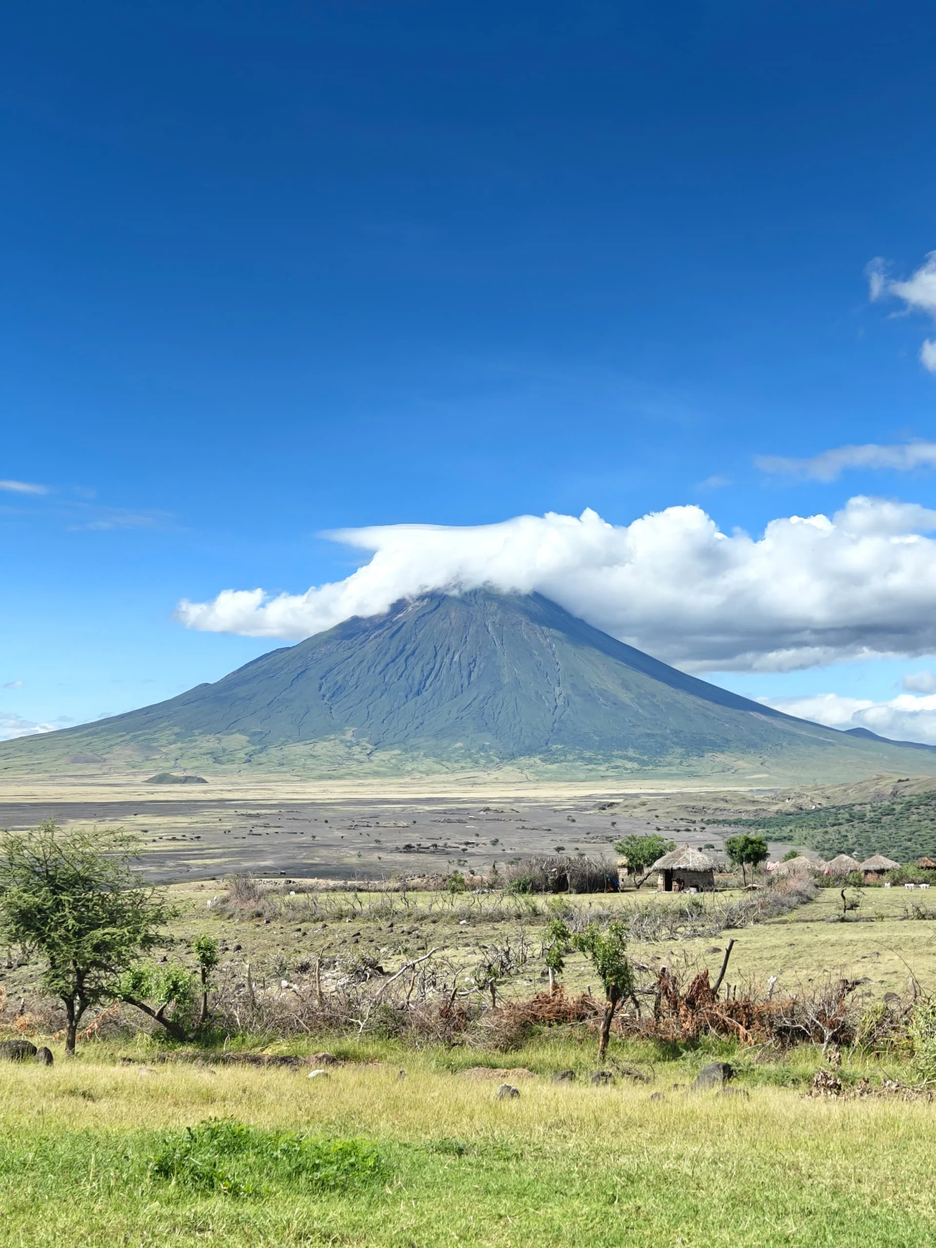
Mount Ol Doinyo Lengai
Mount Ol Doinyo Lengai is one of Tanzania’s most fascinating natural and cultural landmarks. Located in the Great Rift Valley near Lake Natron, this striking volcanic mountain rises to approximately 2,962 metres above sea level and dominates the surrounding semi-arid landscape. Known as the “Mountain of God,” Ol Doinyo Lengai holds deep spiritual importance for the Maasai people. The mountain is traditionally associated with Engai, the Maasai deity, and remains an important symbol within the cultural and spiritual life of communities in the region. Ol Doinyo Lengai is internationally recognised for its unusual volcanic geology. It is the only known active volcano in the world that produces natrocarbonatite lava, a rare type of lava rich in sodium, potassium, and calcium carbonates and relatively low in silica. Unlike the bright red lava associated with many volcanoes, fresh natrocarbonatite lava can appear dark or almost black. As it reacts with moisture and the atmosphere, it may weather into pale grey or white deposits. The mountain forms part of the volcanic landscape of the Gregory Rift, an eastern branch of the East African Rift System. Its slopes, crater structures, ash fields, and surrounding volcanic formations provide a remarkable opportunity to understand the geological forces that are gradually shaping East Africa. Climbing Ol Doinyo Lengai is a demanding adventure. Most ascents begin during the night or in the very early morning to avoid the intense daytime heat and to allow trekkers to reach the summit around sunrise. The route includes steep sections, loose volcanic ash, unstable gravel, and exposed terrain. A climb commonly takes several hours, depending on the route, weather, trail conditions, and the pace of the group. From suitable summit viewpoints, travellers may enjoy expansive views across Lake Natron, the Rift Valley, volcanic landscapes, and the surrounding highlands. On clear days, the scenery can be exceptionally dramatic, particularly when the rising sun illuminates the lake and surrounding escarpments. Ol Doinyo Lengai is best experienced as part of a broader Lake Natron adventure. Visitors can combine the mountain with lesser flamingo viewing, walks to waterfalls, Rift Valley excursions, Maasai cultural experiences, and explorations of the Ngorongoro–Lengai Geopark. With TanzaLux Safaris, your journey to Ol Doinyo Lengai can be planned around your interests, fitness level, travel dates, and wider northern Tanzania itinerary. We help travellers discover the mountain responsibly while respecting local communities, park regulations, changing volcanic conditions, and the fragile environment surrounding Lake Natron.

Mto wa Mbu
Mto wa Mbu is one of northern Tanzania's most interesting cultural destinations, situated along the famous safari route between Lake Manyara National Park and the Ngorongoro Conservation Area. The name Mto wa Mbu means "Mosquito River" in Swahili. The town developed into a fertile agricultural centre after irrigation transformed the area, creating an oasis of farms, banana plantations, rice fields and other crops beneath the Great Rift Valley escarpment. What makes Mto wa Mbu particularly distinctive is its cultural diversity. The local Cultural Tourism Programme describes more than 120 ethnic groups living in the wider community, creating an unusual concentration of Tanzanian cultures, languages, foods, artistic traditions and livelihoods in one destination. Rather than visiting a staged cultural show, travellers can explore real community spaces with local guides. A cultural visit may include walking through farms, learning about irrigation and agriculture, visiting artists and wood-carvers, tasting traditional food, exploring the local market, cycling through the countryside or visiting community projects. Mto wa Mbu is also strongly connected to Tanzania's agricultural traditions. Banana farming is especially important, with numerous banana varieties cultivated in the area. Depending on the experience selected, visitors may learn how bananas are grown and used for food and other purposes. Local food is another important part of the experience. Guided food tours and cooking experiences introduce travellers to ingredients, preparation techniques and dishes that reflect the cultural diversity of northern Tanzania. The destination also provides access to nature experiences. Balaa Hill offers views over the surrounding landscape, while waterfalls, wetlands and Lake Manyara provide additional opportunities for walking, cycling, canoeing where conditions and operations permit, and photography. Mto wa Mbu is ideally positioned for a Northern Tanzania itinerary. Travellers can combine a cultural experience here with Lake Manyara National Park, Ngorongoro Crater, Tarangire National Park and Serengeti National Park. For TanzaLux Safaris, Mto wa Mbu is an opportunity to add meaningful cultural depth to a wildlife safari while supporting locally guided tourism and community enterprises.
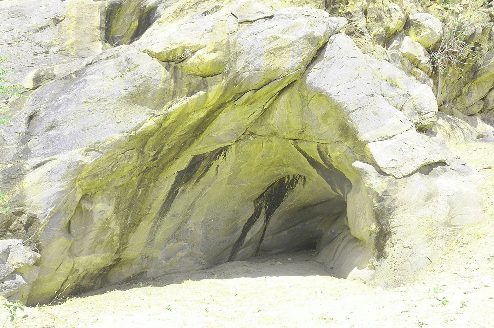
Mumba Rock Shelter
Mumba Rock Shelter reveals a remarkable chapter of Tanzania’s human story in the quiet landscapes of the Lake Eyasi basin. Beneath a broad rock overhang, generations of people left evidence of their tools, food, ornaments and changing ways of life. For travellers interested in archaeology, geology and the deeper history of East Africa, a carefully arranged visit adds a rewarding dimension to a northern Tanzania safari. THE LAKE EYASI SETTING The shelter lies in the Mang’ola Basin near the northeastern side of Lake Eyasi, in Arusha Region. The surrounding landscape brings together rocky outcrops, dry vegetation, farmland and the changing margins of a shallow, seasonal lake. Lake levels and the position of open water vary, so the shelter should not be imagined as permanently standing beside a full lake. This wider setting helps visitors understand why access to water, plants and animals mattered to people living here at different times. A NATURAL SHELTER IN AN ANCIENT ROCK LANDSCAPE Mumba formed beneath an outcrop of metamorphic gneiss. Its overhang provided a sheltered place where sediment and traces of human activity accumulated over many millennia. Researchers have investigated a deep archaeological sequence approaching 11 metres. The significance lies in the relationship between these layers: each deposit preserves a different part of the story, rather than all finds belonging to one moment. A guide can explain how the rock formation, shelter floor and surrounding terrain shaped the use of the site. WHY MUMBA MATTERS The archaeological sequence includes Middle Stone Age and Later Stone Age material, followed by evidence from the Pastoral Neolithic and Iron Age. Stone tools, animal remains and other finds help researchers examine changing technologies, subsistence and occupation of the Lake Eyasi basin. Worked ochre, ostrich eggshell objects and beads, grinding equipment and pottery offer further clues to activities beyond the making of hunting tools. The shelter’s value is therefore broader than a single spectacular discovery: it provides a sequence through which changes in human behaviour can be studied. UNDERSTANDING THE DATES Mumba is often associated with an age of about 130,000 years, but this is a reported estimate connected with the deeper sequence, not the age of every artefact, painting or human remain. Individual layers have different dates, and scientific interpretations continue to develop. Research published in 2026 dated herbivore teeth from Bed V to approximately 72,000–54,000 years ago, with measurement uncertainties. Dates derived from associated sediments or animal remains also need to be distinguished from direct dates on particular human remains. A thoughtful visit treats this evolving chronology as part of the appeal of archaeology. A LONG HISTORY OF RESEARCH Initial excavation took place in 1934, followed by extensive work led by Margit Kohl-Larsen in 1938. Later investigations included Mehlman’s work in 1977 and 1981, renewed excavation in 2005–2006, and sampling for dating in 2007. Subsequent scientific studies have continued to refine the chronology and environmental record. Human remains have been documented at Mumba, but discoveries from other locations around Lake Eyasi should not automatically be attributed to this shelter. Similarly, the presence of Mumba in UNESCO-published research does not make it an individually inscribed UNESCO World Heritage Site. WHAT TO EXPECT ON A VISIT The main experience is a guided encounter with the shelter, its geological setting and the interpretation of the archaeological record. Rock paintings have been documented, although their dates should not be equated with those of the deepest deposits. Visibility, permitted viewing areas and any interpretation facilities must be checked locally. Do not expect a guaranteed display of original excavated objects, an active excavation, or a fully equipped museum at the site. Ask your guide what can currently be seen and which areas must remain undisturbed. ARRANGE ACCESS BEFORE TRAVELLING Mumba is a protected antiquity site. Arrange a local heritage guide and confirm current site permission, opening arrangements, charges and approach conditions before departure. Do not assume that general walking rules for the Ngorongoro wildlife area automatically apply to this separate Lake Eyasi site. Any climbing requires specific approval and a suitable assessment; the destination is best planned around heritage interpretation rather than an unrestricted ascent. The final approach may involve uneven ground and exposed terrain, so footwear, shade, water and a flexible schedule matter. COMBINE HISTORY WITH LAKE EYASI A stay in the Karatu or Lake Eyasi area creates time to include Mumba alongside lake scenery, regional birdwatching and an introduction to Mang’ola’s agricultural landscape. Community-led visits with Hadza, Datoga or Iraqw hosts may be arranged where welcomed. These are contemporary communities with their own lives and traditions; they should not be described as living museum exhibits or assumed to be direct descendants of Mumba’s ancient occupants. Agree the purpose, payment and photography consent of every community visit in advance. PLAN A COMFORTABLE, RESPONSIBLE DAY Drier regional conditions, often from June to October, generally make unpaved approaches easier, while rain can alter road conditions in other months. The site’s archaeological interest is year-round when access is available. Choose a cooler part of the day, carry drinking water, sun protection and closed shoes, and ask about the current walking distance and terrain. Families can enjoy the visit with an engaging guide and close supervision of children. Visitors with limited mobility should request a specific access assessment rather than rely on an accessibility promise. PROTECT THE ARCHAEOLOGICAL RECORD Keep to the route indicated by the guide. Do not touch or trace paintings, collect stones or artefacts, dig into deposits, disturb bones, climb on excavation edges, or leave marks on the rock. Ordinary landscape photography should follow local guidance, and specialist filming or drone use requires prior permission. Leave no litter and allow the site’s history to remain in place for future visitors and researchers. TanzaLux can help shape a Lake Eyasi itinerary around your interests, with access arrangements confirmed before travel.
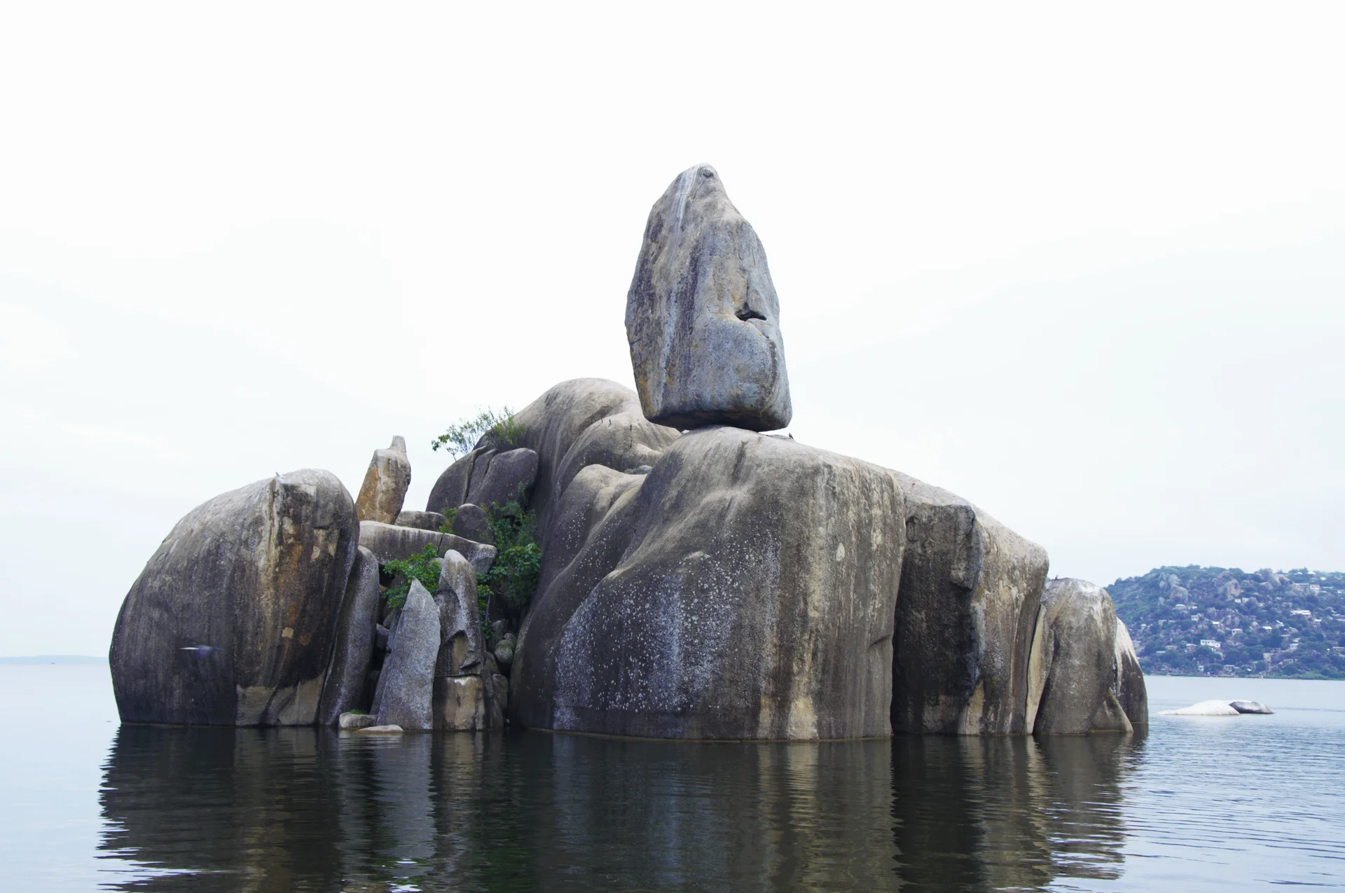
Mwanza
Mwanza brings together Lake Victoria scenery, a busy lakeside city and access to northern Tanzania’s western safari country. Set among granite hills and huge rounded boulders, the city is often called Rock City. Its appeal lies in the combination: a morning exploring local streets, an afternoon learning about Sukuma heritage and an evening watching the light change over the lake. Allow time to enjoy the city itself before continuing to an island stay or safari. Bismarck Rock is Mwanza’s signature landmark, a striking arrangement of boulders rising from the water. Include a shore-based photography stop with a local guide who can identify a suitable public viewpoint and explain the surrounding city. Early or late light can bring texture to the rocks and reflections, although haze, cloud and weather influence every visit. A sightseeing stop does not include permission to climb the rocks or enter restricted waterfront areas. For cultural depth, visit the Sukuma Museum at Bujora Cultural Centre in Kisesa outside the city. The museum explores traditional and contemporary Sukuma culture through architecture, objects, chiefly regalia, royal drums and the work of dance societies and craftspeople. A guided visit gives context to what you see and allows respectful questions. If you would like a dance performance or a particular cultural programme, arrange it in advance; performances are not guaranteed with every visit. Ask permission before photographing people, ceremonies or sensitive objects. Saanane Island National Park offers a contrasting excursion from Mwanza. Reached by an organised boat transfer, it combines granite scenery, marked walking trails and opportunities to observe birds and animals such as impala, vervet monkeys and rock hyrax. Park admission, guiding and boat arrangements should be confirmed separately from the city tour. Wildlife sightings vary, and an island walk is a different experience from a vehicle safari in the Serengeti. Wear shoes with grip and follow the guide around rocks and shoreline paths. The working city also rewards a slower look. A guided market visit, a conversation about the lake’s fishing economy or a meal at a carefully chosen local restaurant can add variety to the itinerary. Let your guide coordinate access so that photography and sightseeing do not interrupt business. Share dietary needs before booking meals, and choose freshly prepared food and drinking water from a dependable supplier. Leave free time for your hotel’s lake views rather than filling every hour with transfers. A suggested two-day stay starts with arrival, a relaxed city orientation and a Bismarck Rock viewpoint, followed by a sunset stop if conditions allow. On the second day, choose a guided Bujora museum visit or a Saanane Island excursion, with time for lunch and rest. A third day allows both outings at an easier pace. This is an illustrative outline: opening arrangements, traffic, weather, flight times and your interests determine the final sequence. Mwanza can be included before or after the western Serengeti, but safari travel needs its own vehicle, park entry, accommodation and route planning. Do not judge the journey by map distance alone. Ukerewe Island can also be considered as a separate extension after checking current transport, accommodation and return connections. Neither extension is automatically included in a Mwanza city stay, and a migration sighting should never be promised for a fixed date. Fly into Mwanza Airport and arrange a transfer to a central or lakefront hotel suited to your itinerary. Choose accommodation by location, access and confirmed facilities rather than assuming every property has a lake view. June to September is generally a drier period; March to May brings the main rains, and October to December often has shorter rains. Lake wind and storms can affect boats in any season. Pack sun protection, a light rain layer, comfortable walking shoes and a small waterproof bag. Lake Victoria is a recognised schistosomiasis transmission area, so avoid swimming or wading in untreated lake water and seek personalised travel-health advice.
Mwewe Island Marine Reserve
Mwewe Island Marine Reserve offers a small-scale coastal nature and heritage experience in Mkinga District, Tanga Region. Part of the Tanga Marine Reserves system in the Pemba Channel, the island is associated with mangrove habitat and the communities of the northern mainland coast. A carefully arranged visit can focus on birdwatching, quiet observation and local interpretation of the island’s history. Plan the excursion with a knowledgeable organiser who can confirm access, permissions and suitable conditions for your chosen day. Mangroves are Mwewe’s defining landscape feature. Their roots, foliage and tidal setting create opportunities to understand how land and sea meet along this coast. A guided outing can introduce the vegetation and the changes visible as water levels rise and fall, without requiring a long or strenuous programme. Ask whether observation will be from a boat, approved shore locations or both. The terrain and route should determine the pace, with time to pause and appreciate the setting. Birdwatching is one of the activities identified for Mwewe. Bring binoculars and let the guide choose an appropriate viewing position for the birds present, tide and conditions. Quiet observation is preferable to trying to approach every bird closely. Species and numbers vary, so the experience should be valued for the habitat and what can be seen without disturbance. Keep away from feeding, resting and nesting areas, and avoid using food or recorded calls to draw wildlife towards the group. The island also has a local history that can enrich a nature-focused visit. Tourism accounts attribute to Digo oral history earlier use by people associated with Kirui Island and a later purchase by Sultan Bin Athmani of Moa. These accounts should be presented as local historical traditions rather than assumed to be a complete documentary record. An informed local guide can help explain the island’s connections with neighbouring communities and distinguish what is known, remembered or still uncertain. Arrange cultural interpretation in advance and ask what it will involve. A history-focused visit does not automatically include an open museum, marked ruins or access to a private or sacred place. Follow local instructions, ask before photographing people and working activities, and leave any natural or historic material where it is. Respectful guiding can provide context without turning community spaces or sensitive places into an unrestricted sightseeing route. A suggested two-day coastal stay begins with arrival at mainland accommodation and a relaxed local orientation. Use the first day to confirm the guide, access, departure point, tide and excursion programme. On the second day, a pre-arranged Mwewe visit can combine coastal views, mangrove interpretation and birdwatching, with a locally agreed history component if available. The organiser should determine the route and any landing for the actual conditions, with a clear return plan. This outline is illustrative and should be adapted to what is authorised and operating. Other northern Tanga destinations can be considered as separate extensions, with enough time for the real transfer and access arrangements. Do not assume that proximity on a map makes several island visits practical in one day. Choose the itinerary by your interests, the available guiding and the transport involved. Additional mainland nights provide more room for changing conditions and a slower coastal pace, especially when the island outing is part of a longer Tanzania holiday. Tanga Airport is a regional gateway to consider after checking current flights and arranging onward road transport. A journey from Dar es Salaam or another city requires a separate connection or mainland itinerary. Confirm the exact access village, departure beach or jetty, any boat arrangements, skipper, suitable life jackets, reserve entry and guide before travelling. Road and crossing times depend on the starting point and conditions, so ask for current estimates and leave a buffer before onward travel. Use mainland accommodation unless the relevant authority and organiser explicitly confirm an authorised overnight island arrangement. Treat the excursion as self-contained unless particular services are confirmed: agree meals, drinking water, shade, toilets, changing arrangements and waste removal. Swimming, snorkelling or kayaking should be considered only if an appropriate operator confirms a suitable authorised programme, site, conditions and supervision; these are not automatic inclusions in a Mwewe nature visit. The northern coast is generally warm, with the main rains usually from March to May and shorter rains often late in the year. January and February are commonly relatively dry; June to September can be drier on land but affected by stronger southeast monsoon winds at sea. Check conditions close to departure. Pack sun protection, binoculars, a light rain layer, a waterproof bag and footwear matched to the approved route. Follow local guidance, avoid damaging mangrove roots, leave natural objects in place and carry all waste back to the mainland.
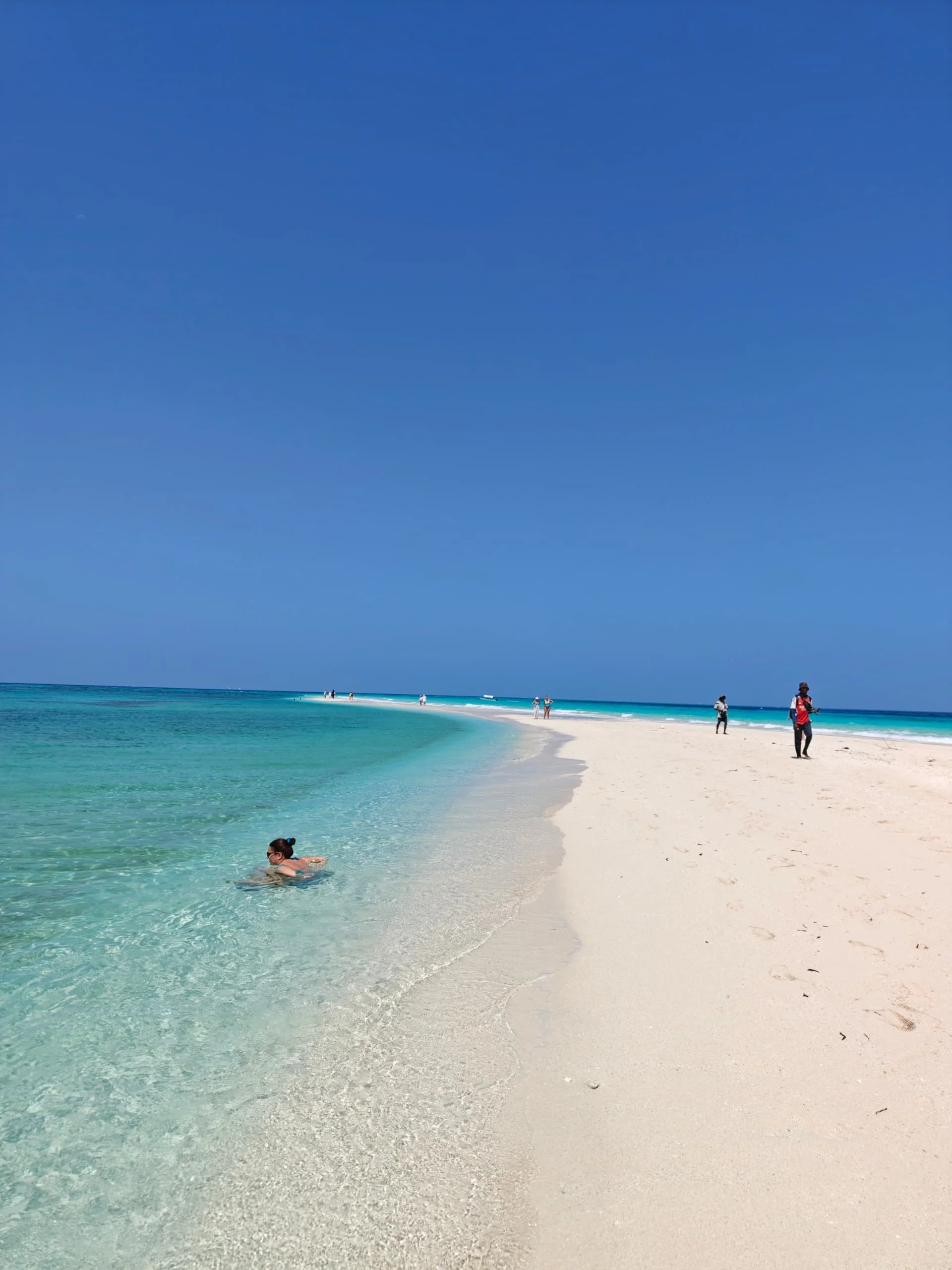
Nakupenda Island
Nakupenda Island, also known as Nakupenda Sandbank or Nakupenda Beach, offers a striking escape off Stone Town on Zanzibar's west coast. A bright stretch of white sand sits amid turquoise Indian Ocean water, with open views in every direction. The name Nakupenda means "I love you" in Swahili, making it a fitting stop for couples, friends and travelers who enjoy the sea. Although often called an island, Nakupenda is a tidal sandbank. The exposed sand grows and shrinks as the water level changes and can be covered at high tide. This makes timing an essential part of the trip. Your boat crew should plan the visit around the day's tides, wind and sea conditions, rather than a fixed departure time that applies all year. The experience is best approached as a day excursion from Zanzibar, not a place to stay overnight. Spend time relaxing on the sand, taking photographs and swimming where the crew advises it is suitable. Snorkeling may be arranged at a nearby site when conditions permit; visibility and wildlife sightings vary. The main draw is the sandbank setting, and it should not be sold as a guaranteed world-class reef or dolphin encounter. Many visitors choose a boat trip with a prepared lunch, drinking water and temporary shade. A seafood meal and tropical fruit can make a memorable addition, but these are booking options rather than permanent restaurants on the sandbank. Confirm the menu, shade, snorkeling equipment, transfers and any applicable fees in advance. Vegetarian meals and allergy needs should be discussed before the boat departs. Nakupenda pairs well with a Stone Town stay. A separate stop at Changuu, commonly called Prison Island, can be added if the route, tides and available time allow. Prison Island is a different destination with its own visitor arrangements and charges. A combined itinerary usually needs more time than a sandbank-only visit. Confirm every stop and inclusion in the written plan. There are no permanent hotels or built visitor facilities on the sandbank, and natural shade is limited. Bring sun protection, a hat, drinking water, a towel and a dry bag. Ask about toilet arrangements, boat boarding and temporary shade before booking. Boat access may involve stepping through shallow water, so guests with mobility needs should discuss the actual transfer setup. The sea is part of the experience and must be treated with care. Wear a well-fitting life jacket on the boat, supervise children closely and follow the captain's advice on swimming. Shallow-looking water can still have currents. A trip may need to be rescheduled or cancelled if weather, tide or sea conditions are unsuitable. Neither a private boat nor a sunny forecast guarantees safe access or exclusive use of the sandbank. Help keep the setting beautiful by taking all litter back to Zanzibar. Do not collect shells, remove marine life or stand on coral at snorkeling sites. Watch wildlife without touching or feeding it. Keep sunscreen, shade and hydration part of the day, and use the crew's judgment when deciding whether to swim or snorkel. Ask TanzaLux Safaris to fit Nakupenda into your Zanzibar itinerary with a clear pickup, boat plan and return transfer. Share your travel dates, group size, swimming confidence and meal preferences. A carefully timed visit can add an enjoyable ocean experience to a beach holiday, a Stone Town break or the Zanzibar extension of a mainland safari.
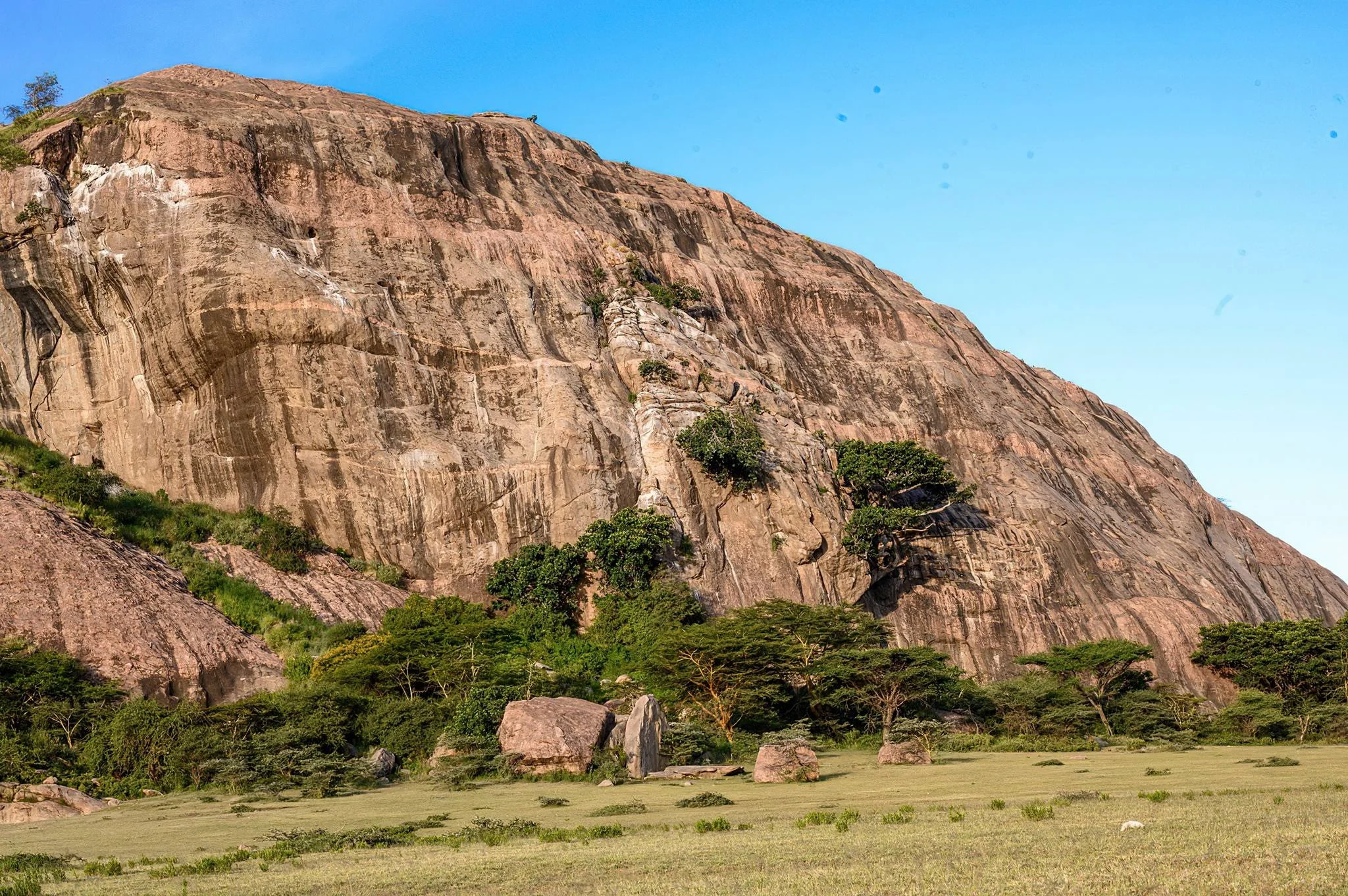
Nasera Rock
Nasera Rock is a striking inselberg rising from the open country near the southwestern Gol Mountains in the Ngorongoro Conservation Area. Its pale walls and pink mineral veins contrast with the surrounding plains, creating a distinctive geological landmark north of Olduvai Gorge. At its base, a shallow rock shelter preserves evidence of people using this landscape across a long sequence of prehistoric and later periods. A well-planned visit brings together scenery, earth science and archaeology, adding depth to a northern Tanzania safari. The rock is also known as Soit Nasera, while archaeological publications refer to Nasera Rockshelter. The names describe related parts of the same destination: the prominent outcrop and the sheltered space studied at its base. Nasera is within the conservation area near the eastern Serengeti ecosystem, rather than a separate national park. Its setting is part of the Ngorongoro Lengai UNESCO Global Geopark’s North Route, which connects the Olduvai area with ancient hills, rock formations and the Gol Mountains. Official visitor descriptions place the inselberg at approximately 50 metres high. An inselberg is an isolated rocky hill or outcrop that remains conspicuous as surrounding material is eroded. Nasera’s pale rock is metamorphic gneiss, with visible layering crossed by pink granitic pegmatite. The pegmatite contains comparatively large crystals of feldspar, quartz and mica. These contrasting rocks formed through processes deep within the Earth’s crust and were later exposed by prolonged erosion. They are part of an ancient crystalline landscape whose history reaches back hundreds of millions of years. This geological age must be kept separate from the age of human activity in the shelter. Nasera is not a young volcanic cone or a lava flow, and its archaeological importance does not mean people lived there when the basement rocks first formed. Erosion also shaped sheltered spaces near the base. The studied rockshelter on the northern face offered a place where sediment and traces of occupation accumulated over time, leaving a layered record for archaeologists to investigate. The archaeological sequence spans the Middle Stone Age, Later Stone Age and later pastoral occupations. Excavations have recovered stone tools, animal remains and ceramics from different layers. These materials help researchers examine technological change, movements through the landscape and the use of grassland resources. The layers represent different periods and activities; they should not be described as one uninterrupted settlement with a single founding date. Nasera’s occupation history extends back tens of thousands of years. A recent study places one investigated Later Stone Age layer at around 47,000 years ago, with uncertainty in the date, while older Middle Stone Age deposits lie beneath it. This is more informative than reducing the whole shelter to a fixed “30,000-year-old site.” Scientific dates belong to particular deposits and are refined as research develops. Louis Leakey excavated Nasera in 1932, Michael Mehlman undertook major excavations in 1975–1976, and more recent work has continued to examine the sequence. A visitor experience should focus on interpretation and careful observation. A knowledgeable guide can explain the rock’s contrasting materials, the difference between geological and archaeological timescales, and the importance of preserving the shelter’s deposits. Do not assume archaeological objects are laid out as an exhibition, that research trenches are open to visitors or that excavation participation is included. Follow the indicated viewing route and leave sediment, rocks and possible artefacts undisturbed. Visible marks should not automatically be presented as authenticated ancient rock art without reliable identification and dating. The surrounding landscape also provides wildlife interest. Research has recorded baboons, klipspringers and rock hyraxes among the local fauna. During wetter periods, migratory wildebeest, zebra and gazelles may move through the nearby grasslands, with other wildlife encountered along the approach. Birdwatching is a possible addition, but there is no guaranteed species list for a brief visit. Nasera is principally a geological and archaeological excursion; its value should not depend on a promised migration gathering or predator sighting. Arrange the excursion with a guide and a suitable safari vehicle, confirming conservation-area access and the permitted route in advance. Walking within the conservation area requires prior arrangements and armed ranger support. A short vehicle-based viewing stop and a longer guided walk have different logistics, so explain the experience you want when booking. Rock climbing is mentioned in official tourism information, but that does not establish an easy summit trail or unrestricted access. Any climbing should depend on current permission, suitable guidance, equipment, ability and conditions; scenic viewing does not require a summit ascent. Generally drier conditions from June to October can make track travel and authorised walks more practical. January and February may also suit an excursion and can coincide with migratory wildlife on the broader plains. Long rains commonly occur from March to May, while shorter rains may affect the region from October to December. Rain can make tracks and rock surfaces more difficult, and local conditions should determine the final route. Carry water, a hat, sunscreen and sturdy closed footwear, and allow for exposed sun, wind and uneven ground. Discuss walking distance, vehicle access, steep or slippery sections and available assistance before booking, especially for families or visitors with limited mobility. Do not assume toilets, refreshments, equipment hire or organised camping facilities exist at the rock itself. Plan comfort stops and any authorised picnic with the guide, and use suitable accommodation elsewhere along your conservation-area or Serengeti itinerary. Ask for current costs that explain transport, guiding, conservation access and any walking, ranger or specialist activity arrangements. Nasera can complement Olduvai Gorge and Museum, Shifting Sands and Olkarien Gorge when a realistic route allows time for each stop. These are separate attractions, and a visit to one does not automatically include access to the others. The Ngorongoro Crater and Serengeti National Park may also be part of the broader safari, with their own permits and activity arrangements. Allow enough time for interpretation and travel rather than trying to turn the geological North Route into a hurried checklist. Nasera rewards visitors who pause to connect the ancient rock, the shelter and the changing plains around it.
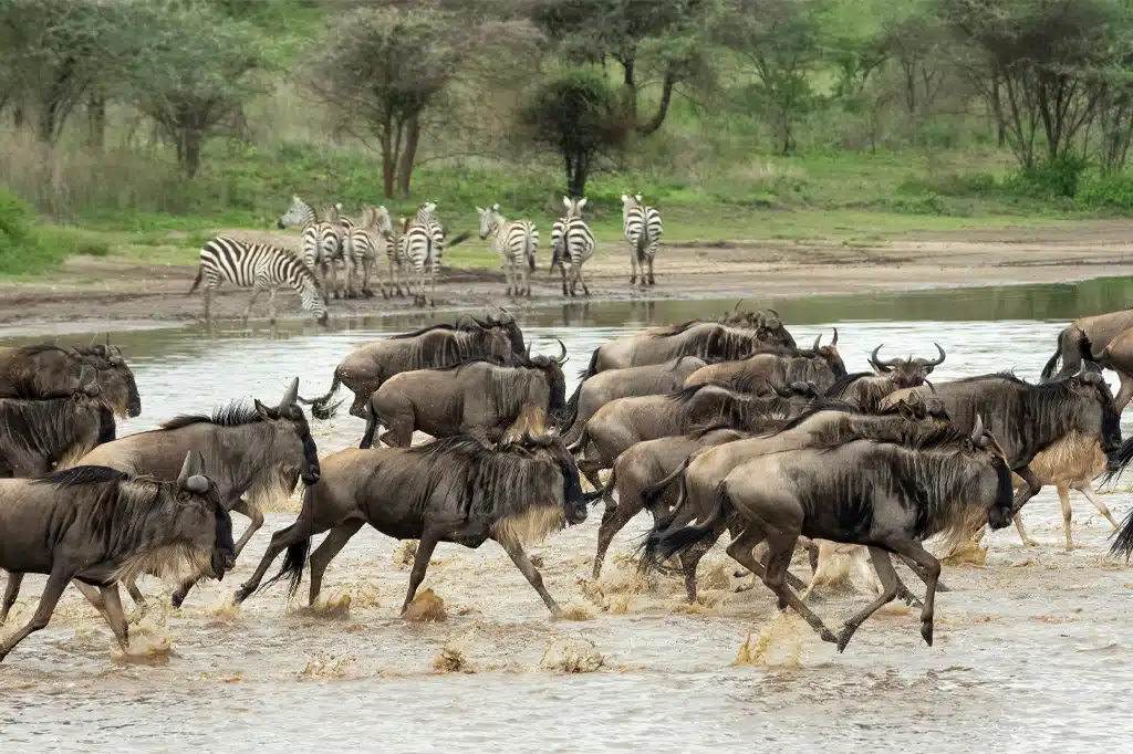
Ndutu Plains
Ndutu Plains brings together some of northern Tanzania’s most compelling safari experiences: sweeping grasslands, seasonal migration herds, young wildebeest, watchful predators and quiet woodland around Lake Ndutu and Lake Masek. The Ndutu area lies within the Ngorongoro Conservation Area beside the southern Serengeti plains, forming part of one connected wildlife ecosystem. It is an excellent choice for travellers who want time to observe animal behaviour, explore varied habitats and understand how rainfall shapes the rhythm of a safari. The landscape is more varied than the name “plains” suggests. Open short-grass country gives way to acacia woodland, marshes and the margins of alkaline lakes. Each habitat creates different viewing opportunities: large grazing herds on the grasslands, shade-seeking animals in woodland and birds around wetland edges. Seasonal water and vegetation conditions continually change the appearance of the area. A knowledgeable guide uses current observations to choose a route, rather than treating one fixed viewpoint as the destination. Ndutu is especially associated with the southern stage of the Great Migration. Wildebeest, zebra and gazelles move through the Serengeti–Ngorongoro ecosystem in response to rainfall and available grazing. Herds often occupy the southern plains from around late December into April, with wildebeest calving usually occurring between January and March. The broader calving grounds straddle the conservation-area and national-park boundary. Dates are a planning guide, not a timetable: rainfall can shift herd concentrations, and a particular camp or game-drive route may be closer to the animals in one year than another. During the calving period, the plains can hold large numbers of mothers and young wildebeest, providing an absorbing view of herd behaviour and the next generation of the migration. Predators also use this landscape, and lions, cheetahs, spotted hyenas and jackals may be encountered. Watching a cat rest, scan the plains or care for cubs can be as rewarding as a dramatic chase. Births, hunts and kills are natural events that cannot be promised, and responsible guiding gives animals space to move, feed and care for their young. Ndutu also supports resident wildlife. Depending on habitat and conditions, a safari may encounter giraffe, impala, dik-dik, elephant and smaller carnivores, alongside predators that remain when the large migratory herds have moved elsewhere. Leopard sightings are possible in suitable cover but should never be treated as routine. Outside the main migration period, the experience focuses more on local animals, woodland, lake margins and the character of the landscape. Choosing Ndutu at this time should reflect that interest, rather than an expectation of enormous herds throughout the year. Birdwatching adds another dimension to a game drive. The mix of plains, woodland and wetland habitats supports diverse birdlife, while water levels influence what can be seen near the lakes. Carry binoculars and allow time for identification and behaviour rather than looking only for large mammals. Lake Ndutu and Lake Masek are scenic features and wildlife habitats; they are not swimming destinations. Their shorelines should be approached only on permitted routes and according to the guide’s assessment of conditions. Game drives are the core visitor activity. Early and later daylight excursions can suit wildlife watching and photography, while a longer drive may include a picnic at an authorised location if arranged. A flexible route and more than one day in the area improve the opportunity to explore different habitats, although no duration guarantees a sighting. For photography, bring a useful telephoto lens and a stable support suitable for a safari vehicle. Stay patient around animals, avoid crowding or blocking their path, and let the guide decide when to change position. The administrative boundary matters when planning. Ndutu is commonly described as “southern Serengeti” because of its ecology, but the Ngorongoro Conservation Area and Serengeti National Park have separate access arrangements and rules. Your operator should identify which areas your accommodation, transfers and game drives actually use. Drivers must follow designated roads, authorised tracks and any applicable authority permissions. Do not assume unrestricted off-road driving is included. Guided walking, where authorised, requires advance arrangements and the required guide and armed ranger support; an ordinary vehicle safari is not permission to walk independently among wildlife. For a migration-focused visit, plan around the usual late-December-to-April southern-herd period and request current guidance before finalising the route. The January-to-March calving period is a particularly sought-after time for Ndutu accommodation. April and May can bring heavier rain and challenging tracks, while the generally drier months later in the year offer a different resident-wildlife experience after many migrating animals have moved on. Short rains around October to December may encourage fresh grazing and the return south, but conditions differ each year. Camp operating seasons should be checked as carefully as wildlife timing. Ndutu can be reached by a planned road safari through northern Tanzania or by a flight to a suitable local airstrip, with a camp or safari vehicle completing the transfer. Kilimanjaro International Airport and Arusha are common gateways. Road travel often links the area with Karatu, Ngorongoro and Olduvai, while onward routes may continue into Serengeti National Park. Driving duration depends on the starting point, road conditions, stops and permits. Flight services, airstrip suitability, baggage limits and transfers should be confirmed for your dates rather than assumed to operate every day. A practical itinerary can allow two or three nights in the area, giving time for several drives and less pressure to fit every experience into one day. This is a planning suggestion, not a minimum requirement. Choose between permanent lodges, tented accommodation and seasonal camps according to operating dates, location, comfort and travel budget. Ask about meals, drinking water, charging facilities, family arrangements and accessibility. Combine Ndutu with a separately arranged Ngorongoro Crater descent, an Olduvai Gorge and Museum visit or another Serengeti region when the route and season suit your interests. Pack light layers for cool starts, sun protection, a hat, binoculars, camera dust protection and a light rain layer in wetter periods. Discuss any vehicle-entry assistance or mobility needs before booking, and supervise children closely at camps and viewing stops. Ask for a current quote that explains conservation or park entry, vehicle and guide services, accommodation, transfers and optional activities. With realistic expectations and a thoughtful itinerary, Ndutu rewards both the traveller seeking the migration and the visitor who enjoys the slower details of a varied African landscape.
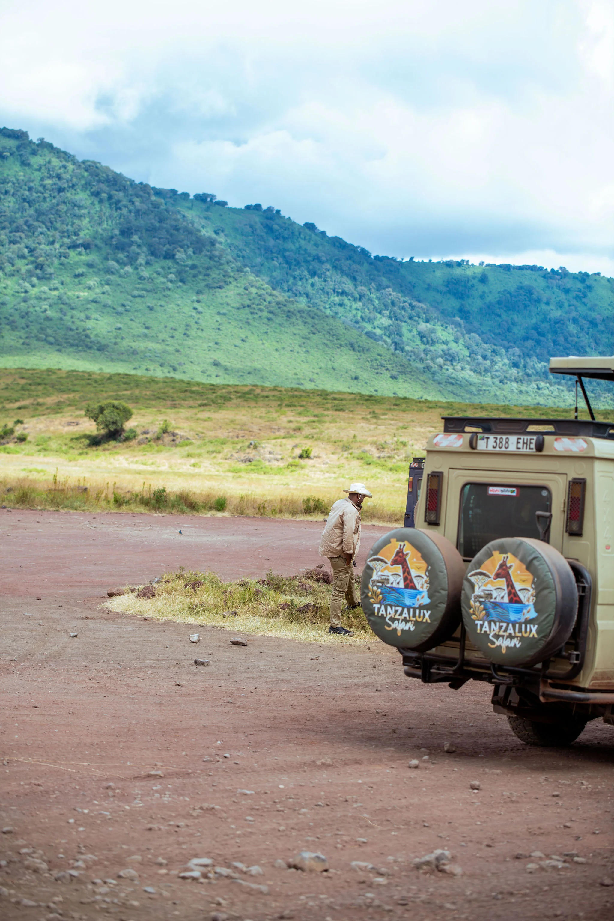
Ngorongoro Conservation Area
Ngorongoro Conservation Area is one of Tanzania's most extraordinary destinations, combining exceptional wildlife, volcanic landscapes, archaeology, cultural heritage and the story of human evolution within one vast protected area. Located in northern Tanzania between the Serengeti ecosystem and the Great Rift Valley, the conservation area forms an essential part of Tanzania's Northern Safari Circuit. Its best-known attraction is Ngorongoro Crater, the world's largest unbroken, unfilled volcanic caldera. The crater floor supports an exceptional concentration of wildlife and offers opportunities to see lions, elephants, buffalo, black rhinoceros, hippos, hyenas, wildebeest, zebras, gazelles and many other species. However, Ngorongoro Conservation Area extends far beyond the crater. The wider landscape includes the volcanic Empakaai and Olmoti craters, the Ngorongoro Highlands, Ndutu Plains, Gol Mountains, Sale Plains, Olkarien Gorge, Nasera Rock and important archaeological landscapes such as Olduvai Gorge and Laetoli. Ngorongoro is also part of the greater Serengeti ecosystem. During the annual Great Migration cycle, enormous herds of wildebeest, zebra and gazelles move through parts of the conservation area. The short-grass plains around Ndutu and the Ngorongoro-Serengeti ecosystem become especially important during the calving period. Human history adds another extraordinary dimension. Olduvai Gorge has produced some of the world's most important evidence relating to early human evolution, while the Laetoli footprints preserve evidence of upright walking by early hominins approximately 3.6 million years ago. Ngorongoro was established as a multiple-land-use conservation area in 1959. Its history is therefore different from that of a conventional national park, with conservation, pastoral landscapes, tourism and cultural heritage all forming part of its story. For travelers who explore beyond the crater, Ngorongoro can offer game drives, archaeological visits, birdwatching, photographic safaris, highland scenery and authorized guided walking experiences. With TanzaLux Safaris, the Ngorongoro Conservation Area can be incorporated into a private Northern Tanzania itinerary alongside Serengeti National Park, Lake Manyara National Park, Tarangire National Park, Karatu, Lake Eyasi and other destinations.
Ngorongoro Crater
Ngorongoro Crater is one of Tanzania’s most spectacular safari destinations and a must-visit highlight of the Northern Tanzania safari circuit. Located within the Ngorongoro Conservation Area, this vast volcanic caldera is famous for its dramatic scenery, abundant wildlife and exceptional opportunities for Big Five viewing. The crater covers approximately 260 square kilometres, is about 20 kilometres across and reaches depths of around 610 metres. Its enclosed ecosystem includes open grasslands, woodland, wetlands, springs and Lake Magadi, creating an ideal habitat for a remarkable variety of wildlife. During a Ngorongoro Crater safari, visitors may encounter lions, elephants, buffaloes, leopards, hippos, wildebeest, zebras, hyenas, gazelles and the endangered black rhinoceros. The crater is also an excellent destination for birdwatching and wildlife photography. Beyond the crater floor, the wider Ngorongoro Conservation Area offers incredible cultural and historical experiences, including Maasai communities, Olduvai Gorge, Empakaai Crater and Olmoti Crater. With TanzaLux Safaris, your Ngorongoro safari can be designed as a private and personalised experience. Combine Ngorongoro with Serengeti, Tarangire, Lake Manyara, Mount Kilimanjaro or Zanzibar for an unforgettable Tanzania safari. Whether you are planning a luxury safari, private safari, honeymoon or family adventure, Ngorongoro Crater offers an extraordinary combination of wildlife, landscapes, culture and natural history.
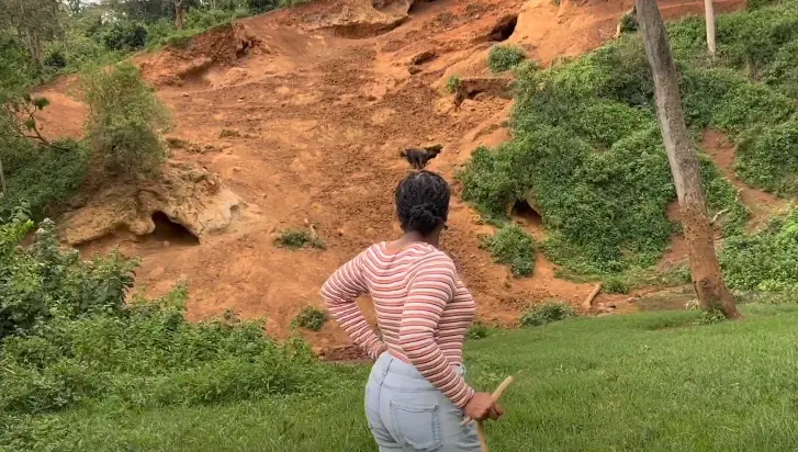
Ngorongoro Northern Highland Forest Reserve
Ngorongoro Northern Highland Forest Reserve offers a quieter, greener way to experience northern Tanzania. Beneath its canopy, the focus shifts to forest sounds, birds, plants, flowing water and the signs left by wild animals. An arranged walk in the Endoro sector can reveal Elephant Caves and Endoro Waterfalls while introducing the essential role this highland forest plays in protecting water sources and biodiversity. THE FOREST WITHIN THE NGORONGORO LANDSCAPE Often shortened to Northern Highland Forest Reserve or NHFR, this destination belongs to the protected highland landscape of Ngorongoro Conservation Area. The Endoro visitor sector faces Karatu along the conservation area’s southern boundary, making it a practical addition to a stay in the town or nearby lodges. The name does not mean that visitors should look only on the northern side of Ngorongoro. This is the Ngorongoro catchment forest, with its own setting and management, rather than an Eastern Arc Mountains destination. WHY THIS FOREST MATTERS The reserve is a water catchment, a refuge for wildlife and an important part of the region’s botanical diversity. Protecting tree cover, vegetation and soils helps sustain water sources beyond the forest itself. The canopy, undergrowth and river corridors create a layered habitat where small-scale details can be as rewarding as a large-animal sighting. A good guide connects these features to the needs of neighbouring communities and to the wider conservation landscape. A MOSAIC OF HIGHLAND HABITATS The wider forest landscape is not one uniform block of identical trees. Different slopes and elevations support varied vegetation, with bamboo forest on Mount Oldeani among the habitats highlighted for protection in official conservation planning. On an Endoro walk, the experience depends on the particular route: shaded stretches, river scenery, hillside vegetation and open viewing areas may all form part of the excursion. Botanical interpretation encourages visitors to notice leaf shapes, forest structure and the relationship between vegetation and moisture without treating every trail as a complete tour of the entire reserve. THE ENDORO FOREST EXPERIENCE The Endoro River nature trail is a documented visitor route within NHFR. It lends itself to an unhurried excursion focused on forest observation, birdwatching, plants and animal signs, with the mineral hollows known as Elephant Caves and the waterfall included where the chosen route and conditions allow. The walk offers a different perspective from a vehicle safari: sounds and tracks become part of the story, and a guide can explain features that are easy to pass without noticing. ELEPHANT CAVES: A WINDOW INTO ANIMAL BEHAVIOUR Elephant Caves are excavated hollows in a mineral-rich hillside. Elephants have worked the soil to obtain minerals, creating the characteristic recesses and disturbed slopes associated with the attraction. Other animals also use mineral deposits. These hollows are best understood as a natural record of animal behaviour, rather than a conventional underground cave system. Elephants may be absent during a visit, but the landscape itself provides an engaging explanation of how animals interact with weathered volcanic soils. ENDORO WATERFALLS AND THE FOREST’S WATER STORY The spring-fed Endoro River descends through the forest from the Ngorongoro highlands. It flows year-round, with greater flow during rainy periods, and the waterfall is a rewarding feature of suitable guided routes. Viewing arrangements depend on the selected trail and current conditions. Slopes, steps and damp ground can affect how close visitors approach, so the excursion should be chosen with the group’s fitness and mobility in mind. Enjoy the water scenery from the approved viewing area and follow the ranger’s advice around slippery edges. WILDLIFE IN A DENSE FOREST The forest supports elephants, buffalo, bushbuck, waterbuck, duikers, baboons, blue monkeys and bush pigs, alongside less easily observed animals. Dense vegetation often conceals mammals, so footprints, feeding signs, movement in the branches and distant calls are meaningful parts of the experience. A forest walk is not a guaranteed wildlife checklist. Elephant and buffalo habitat is also the reason ranger accompaniment and disciplined group behaviour matter throughout the route. BIRDWATCHING AND PHOTOGRAPHY Documented bird groups include turacos, robin-chats, hornbills, sunbirds, flycatchers and honeyguides. Patient listening and careful observation can reveal birds that would otherwise remain hidden in the canopy or undergrowth. Binoculars are useful, while photographers can concentrate on forest textures, birds, river details and the mineral hillside. Forest light may be subdued and sightings brief; allow time for the experience to unfold and keep voices low around wildlife. BOOK THE WALK AND RANGER IN ADVANCE Walking activities in Ngorongoro Conservation Area require prior arrangements and an NCAA armed ranger. Arrange the Endoro walk, permitted route, current charges, meeting point and ranger availability before departure. An interpretation guide can add specialist knowledge of birds, plants and the landscape. Do not treat the reserve as an unrestricted self-guided hiking area. Duration varies with the route, weather, viewing stops and group pace, so confirm a realistic plan rather than assume one universal walking time. SEASONS AND PRACTICAL PREPARATION June to October generally brings drier regional conditions and may make forest trails easier to manage. The long rains around March to May and shorter rains later in the year can produce greener scenery and stronger waterfall flow while leaving paths muddy or slippery. Mist, showers and cooler conditions remain possible in the highlands even during a broadly dry period. Wear closed shoes with grip, carry drinking water, rain protection and a light warm layer, and protect cameras from moisture. Ask about current terrain, walking distance and facilities before choosing the excursion. FAMILIES, ACCESSIBILITY AND YOUR ITINERARY A forest walk can suit travellers who enjoy nature at a slower pace, but suitability depends on the chosen trail. Families should request a route appropriate to their children and keep them closely supervised. Visitors with limited mobility need a specific access assessment, especially for slopes and waterfall steps. Combine the forest with a Karatu stay or a Ngorongoro Crater excursion, allowing time for both. Longer highland visits such as Olmoti and Empakaai require separate planning and should not be presented as stops on the Endoro trail. VISIT WITH CARE Stay with the ranger and guide, keep to the approved trail and give animals space. Leave plants, minerals and other natural material in place, take all litter away and respect route closures. Confirm specialist filming or drone permissions in advance. Community visits and photographs of people should be based on consent and agreed arrangements. TanzaLux can help build a northern Tanzania itinerary around your interests, with the forest walk and ranger booking confirmed before travel. IMAGE NOTE The image shows Elephant Caves, a named attraction on the reserve’s Endoro forest walking routes, using an existing photograph from the TanzaLux media library.
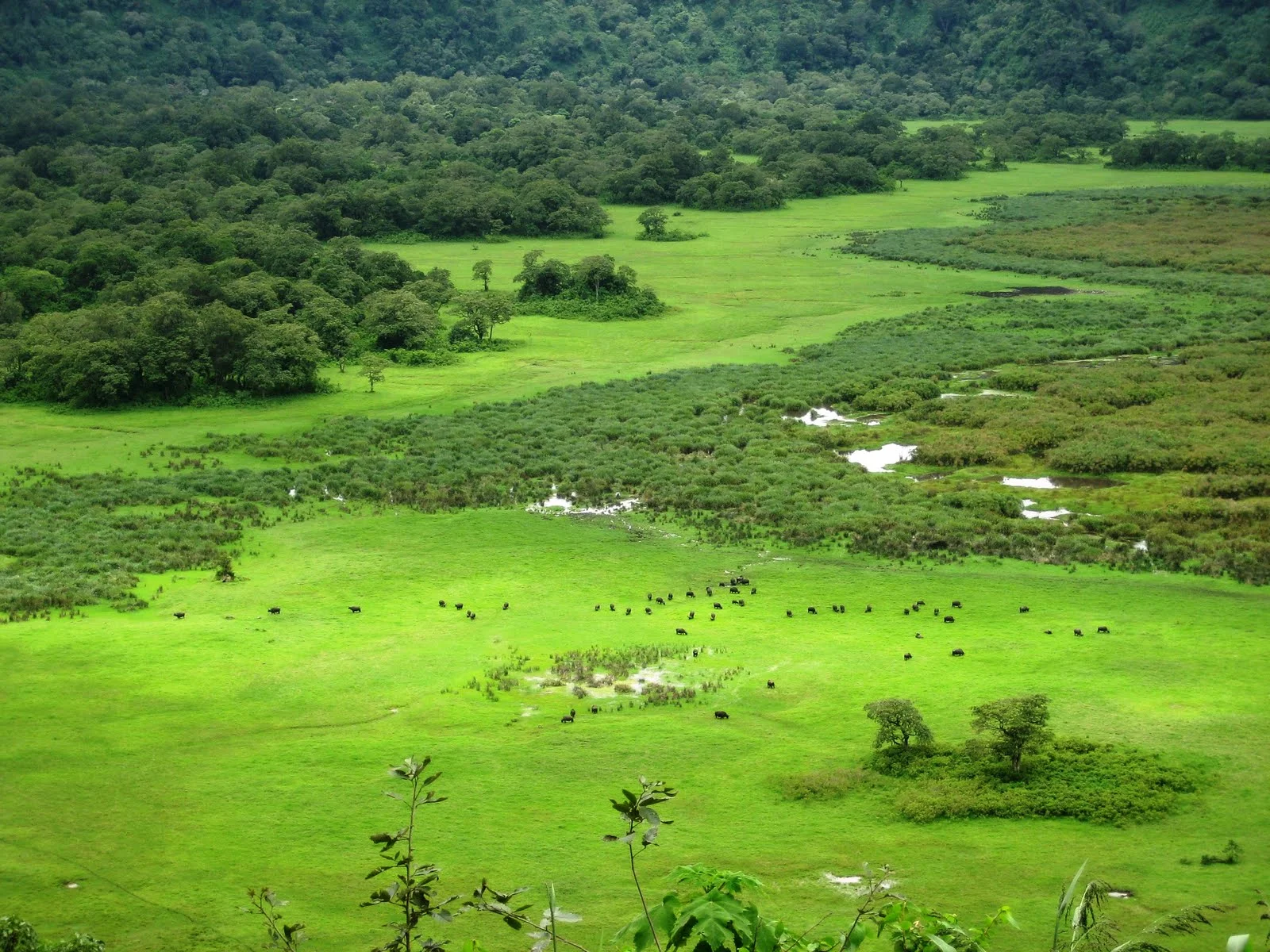
Ngurdoto Crater
Ngurdoto Crater is one of the most memorable landscapes in Arusha National Park: a forested volcanic basin whose steep sides frame a floor of marshes and grassy clearings. A stop at the rim reveals the landscape from above, with wildlife sometimes appearing as small moving shapes across the open areas below. It is a rewarding choice for travellers who enjoy scenery, natural history, birds and a quieter pace during an Arusha-area safari. The crater floor includes marshes and wet areas, while forest covers much of the surrounding slopes. The suggested visit centres on authorised rim viewpoints and the surrounding forest. It does not include swimming, boating or an independent descent into the basin. Arusha National Park’s Momella Lakes offer a separate lake experience and can be considered as an addition to a wider park itinerary. Ngurdoto’s volcanic shape is striking even before you identify an animal. Look across the steep wooded slopes, then follow the contrast between dense vegetation and open patches on the floor. The crater is often nicknamed “Little Ngorongoro”, but it is a distinct destination with its own scale, forest setting and style of visit. It is worth choosing for these qualities rather than expecting a smaller copy of a Ngorongoro crater-floor game drive. Rim stops are an opportunity to slow down. Allow time for your eyes to pick out shapes in the grassland and marshes, and bring binoculars to make distant observations more rewarding. Buffalo and warthogs may be visible, with elephants only an occasional possibility. Animals can be obscured by vegetation or distance, and none of these sightings is guaranteed. A viewpoint visit also gives a useful introduction to the relationship between volcanic landforms, forest and wetland habitats. The surrounding Ngurdoto forest adds another dimension. Black-and-white colobus monkeys are a particular interest in this habitat; other primates and forest birds may also be encountered during the wider park outing. Watch the canopy as well as the ground and let the guide interpret calls, movement and the changing vegetation. Birdwatchers can enjoy forest-edge observation and views towards the wetland, though the best approach depends on visibility and the group’s interests. Travel between the appropriate stops uses the park’s designated roads, with walking only where the park permits it. A longer guided walk or nature trail must be arranged beforehand, using the currently authorised route and required park guide or ranger support. Ask about distance, gradient, surface and expected duration when booking. The standard programme focuses on viewpoints; longer walking routes are chosen with park staff. Park staff determine which routes are open and suitable on the day, particularly after rain or when wildlife changes access. Ngurdoto fits naturally into a full day in Arusha National Park. A balanced programme can begin with a forest and game-viewing drive, include unhurried crater viewpoints and a lunch stop in an approved area, then continue towards the Momella Lakes or other park attractions if time permits. An optional walking safari, waterfall visit or canoe activity elsewhere in the park needs its own arrangements and enough time in the schedule. Mount Meru trekking is a separate mountain programme with its own duration, guiding and equipment requirements. The drier periods are generally practical for road access and outdoor observation, while wetter months can bring rich green scenery and changing light. June to September is a useful planning window, and December to early March can also be appealing when local conditions allow. The main rains commonly fall from March to May; short rains can arrive in the later months of the year. Mist, showers and cloud may change a viewpoint visit at any time. Carry a light layer for cooler forest conditions and a rain jacket when appropriate, and allow the guide to adapt the order of stops. Arusha is a convenient base. Arrange hotel pickup, park entry, a suitable vehicle and guide, and any optional walk before departure. Travellers arriving through Kilimanjaro International Airport or Arusha Airport can connect by road, with timing planned around the actual flight and overnight location. The transfer to the park entrance is only part of the journey: entry formalities and driving to the crater viewpoints also need time. A full park day generally provides a more comfortable pace than trying to fit the crater into a tightly timed airport transfer. TanzaLux can tailor the outing for photographers, birders, families or travellers who prefer a mainly vehicle-based visit. Explain walking ability and access needs in advance so the team can assess suitable stops. Bring binoculars, a camera, closed shoes, drinking water and sun protection, and confirm meals and facilities along the chosen route. Use designated viewing areas, keep wildlife undisturbed and carry all litter out. Agree the park, vehicle, guiding, optional activity and meal charges in an itemised quotation for your dates and group.
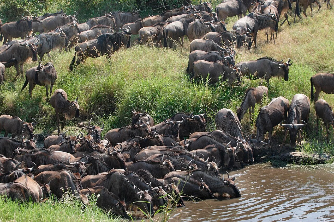
Northern Serengeti
North Serengeti is one of the most captivating regions of Serengeti National Park in northern Tanzania. Located near the border with Kenya and extending toward the Mara River and the Lamai area, this remote wilderness is celebrated for its dramatic landscapes, abundant wildlife, and connection to the annual Great Wildebeest Migration. Unlike the wide, open plains of southern and central Serengeti, North Serengeti features rolling hills, granite kopjes, acacia woodlands, riverine vegetation, valleys, and open savannah. This varied environment creates habitats for a wide range of wildlife, including elephants, lions, leopards, cheetahs, buffaloes, giraffes, zebras, wildebeest, topi, gazelles, hippos, hyenas, and numerous bird species. The region is especially famous for the Mara River, where migrating wildebeest and zebras may attempt to cross during their seasonal movement through the Serengeti-Mara ecosystem. These crossings are among Africa’s most dramatic wildlife spectacles, but they are entirely natural and unpredictable. Animals may gather at the river for hours or days, change direction, or decide not to cross at all. North Serengeti also includes the Lobo Valley, an area known for its rocky scenery, resident wildlife, and opportunities to observe large predators. The region’s relative remoteness can provide a quieter safari atmosphere, although visitor numbers may increase around popular migration periods. A North Serengeti safari is ideal for travellers seeking dramatic wildlife encounters, photography opportunities, remote landscapes, and a deeper exploration of Tanzania’s northern safari circuit. TanzaLux Safaris can design a private safari that combines North Serengeti with Central Serengeti, Ngorongoro Crater, Tarangire National Park, or other destinations according to the season and your interests.
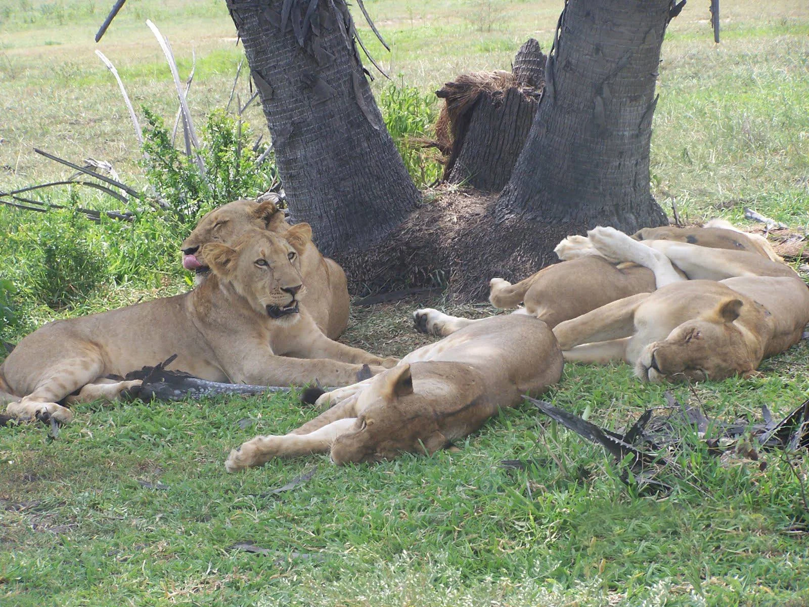
Nyerere National Park
Nyerere National Park is one of Tanzania's most remarkable wilderness destinations and the largest national park in the country. Located in southern Tanzania, the park protects approximately 30,893 square kilometres of rivers, lakes, floodplains, open grasslands, riverine forest and vast miombo woodland. The Rufiji River is the defining feature of Nyerere. Tanzania's largest river crosses the park and creates a complex system of channels, sandbanks, oxbow lakes and seasonal floodplains that sustain extraordinary wildlife. This river environment makes Nyerere different from many of Tanzania's other safari destinations. Visitors can experience wildlife not only by safari vehicle but also from the water during authorized boat safaris. Hippos and Nile crocodiles are among the most visible river species, while elephants, buffalo, giraffes and antelopes frequently move through the floodplains and riverbanks. Nyerere is also one of East Africa's important strongholds for African wild dogs. Lions, leopards and spotted hyenas occur across the wider landscape, while the park's enormous size gives predators and prey space to move across large territories. The park is particularly strong for travelers seeking a quieter safari. Its low visitor density, extensive track network and vast wilderness create a very different atmosphere from busier destinations. Birdlife is exceptional, with more than 430 species recorded in current TANAPA information. Fish eagles, bee-eaters, kingfishers, waterbirds, raptors and wetland specialists thrive around the Rufiji River and its associated lakes. Nyerere also allows guided walking safaris in authorized areas, giving visitors a closer look at animal tracks, plants, insects, birds and the ecological details of the miombo and riverine landscapes. The park was established in 2019 from part of the historic Selous Game Reserve landscape. Today, Nyerere National Park and the remaining Selous Game Reserve are separate protected-area entities and should not be treated as the same destination. With TanzaLux Safaris, Nyerere can be experienced as a private fly-in safari, road safari from Dar es Salaam, or part of a longer Southern Tanzania journey with Mikumi, Udzungwa Mountains and Ruaha National Park.
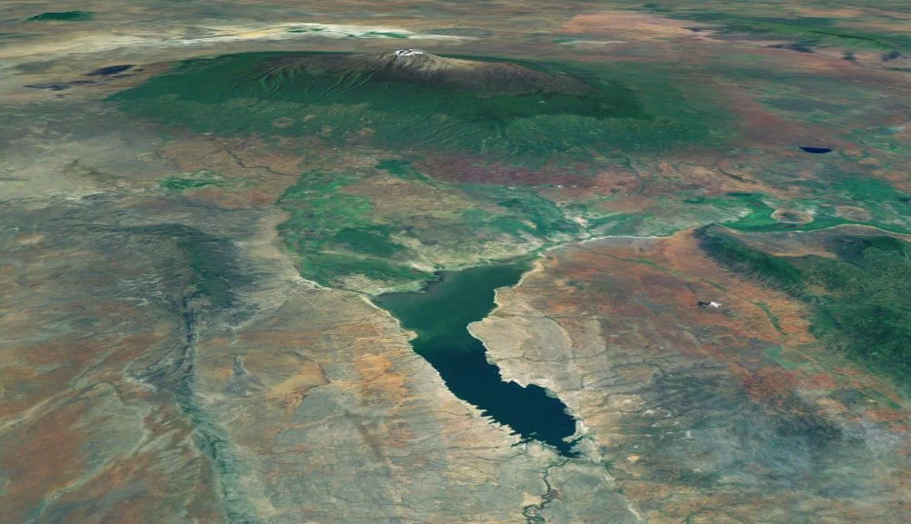
Nyumba ya Mungu
Nyumba ya Mungu is a broad freshwater reservoir in northern Tanzania’s Pangani basin, south of the Kilimanjaro area. Its Swahili name means “House of God”. The landscape combines open water, seasonal wetland edges, dry-country vegetation and settlements whose daily life is closely connected with fishing. For travellers, it offers a quieter, locally guided excursion focused on birds, scenery and community life. The reservoir receives water from the Kikuletwa and Ruvu rivers and forms an important part of the Pangani river system. It is also associated with hydropower generation and water management. This makes it a working landscape with several purposes, rather than a dedicated beach resort. Learning how the water supports livelihoods and infrastructure can add depth to a visit, especially when your guide connects the wider geography with the place you are standing. Birdwatching is one of the strongest reasons to visit. Nyumba ya Mungu is recognised as a Key Biodiversity Area, and its habitats provide opportunities to look for waterbirds and birds of the surrounding dry woodland. Historical records include herons, egrets, waders and other species; what you see on a particular day depends on habitat, season and water conditions. A patient approach with binoculars and a knowledgeable guide is more rewarding than expecting a fixed checklist. Plan your exploration around an accessible section of shore chosen by a local guide. A short walk can reveal changing vegetation, feeding birds and the relationship between the reservoir and nearby settlements. The shoreline and usable paths vary as the water rises and falls, so an older route description may not match current conditions. A guide can also help keep the visit respectful of working landing places, private homes and sensitive nesting areas. Fishing communities are central to the reservoir’s character. With hosts’ permission, a cultural visit can introduce everyday activities and the importance of the fishery. Ask before photographing people, boats or a catch, and avoid interrupting work. Agree guiding and any visit costs in advance. A good encounter should be based on conversation and local consent, with time to understand the place rather than simply collecting photographs. Boat outings or a fishing experience may be possible through suitable local arrangements, but neither should be assumed to be a standard daily service. Request details of the operator, vessel, safety equipment, permissions and conditions before including either activity. A rewarding visit can be built entirely around land-based observation and guided walks. Access to dam structures or power-generation facilities is a separate matter and should only be attempted with explicit authorisation. We suggest allowing a full excursion day when travelling from a Moshi-area base, with the precise schedule shaped around your starting point, the selected shoreline and road conditions. Keen birders may prefer an early arrival and a longer, less hurried outing. Do not use straight-line map distance as a substitute for actual transfer planning: the last approach to a chosen village or viewing point can make a substantial difference. Facilities should be checked before departure. Arrange drinking water, meals, transport and any essential bathroom stops, and choose established accommodation in your wider itinerary unless a specific local stay has been confirmed. Carry sun protection, comfortable closed shoes, binoculars, a light rain layer and a waterproof bag for valuables. Keep children supervised near water and unstable shore edges. Nyumba ya Mungu works best as a thoughtful addition to a northern Tanzania journey for travellers who enjoy wetlands, photography and the life of working landscapes. Select a few well-planned experiences, allow time to observe and let local conditions guide the day’s pace.
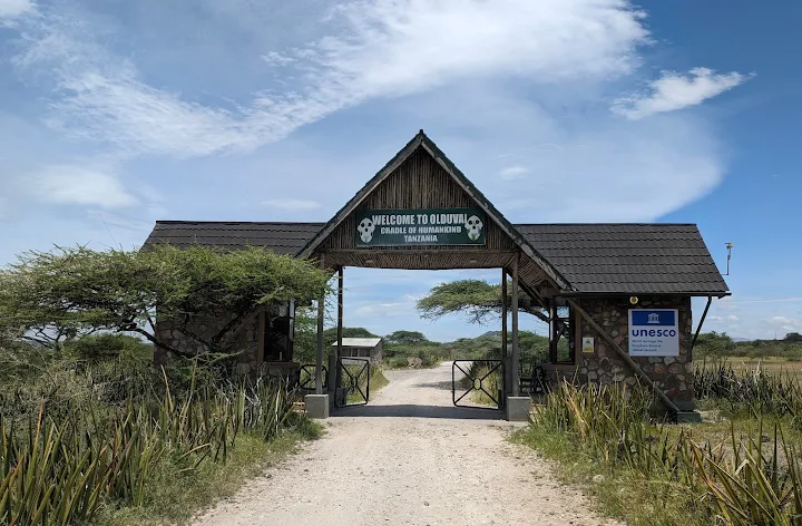
Olduvai Gorge
Olduvai Gorge is one of Tanzania’s most significant archaeological destinations and one of the most influential sites in the study of human evolution. Located within the Ngorongoro Conservation Area in northern Tanzania, the gorge is a long, deeply eroded ravine surrounded by the grasslands and volcanic landscapes of the eastern Serengeti region. The gorge is famous for preserving a remarkable sequence of geological layers containing fossils, stone tools, animal remains, and other evidence of ancient environments. These deposits have helped researchers investigate how early hominins lived, moved, obtained food, used tools, and adapted to changing landscapes over a period of millions of years. Olduvai Gorge became internationally recognised through the pioneering work of archaeologists and palaeoanthropologists, including Mary and Louis Leakey and other researchers. Important discoveries associated with the site include remains of Australopithecus boisei, historically known as Zinjanthropus, as well as evidence linked to Homo habilis and Homo erectus. The discoveries have contributed significantly to scientific understanding of early human development, technology, and behaviour. The gorge is also important because it reveals the relationship between human evolution and environmental change. Volcanic activity, shifting lakes, rivers, grasslands, and changing animal communities helped create the layers in which fossils and archaeological materials were preserved. The surrounding landscape therefore provides an opportunity to understand not only ancient human ancestors but also the ecosystems in which they lived. Visitors can explore the Olduvai Gorge Museum and designated interpretation areas, view the dramatic ravine from suitable viewpoints, and learn about archaeological excavations through explanations from qualified guides. Some excavation areas are protected, and access to archaeological locations is controlled to help preserve the site for future research and education. Olduvai Gorge is often visited during a Northern Tanzania safari between the Ngorongoro Conservation Area and Serengeti National Park. It can also be combined with the Ngorongoro Crater, Ndutu Plains, Laetoli Footprints, Empakaai Crater, or other cultural and geological attractions in the region. A visit to Olduvai Gorge is especially rewarding for travellers interested in human history, archaeology, geology, anthropology, photography, education, and the deeper story behind Tanzania’s famous safari landscapes. With TanzaLux Safaris, your Olduvai Gorge visit can be arranged as part of a private and carefully planned safari itinerary, allowing you to explore the archaeological site while also experiencing the wildlife, landscapes, and cultural heritage of northern Tanzania.
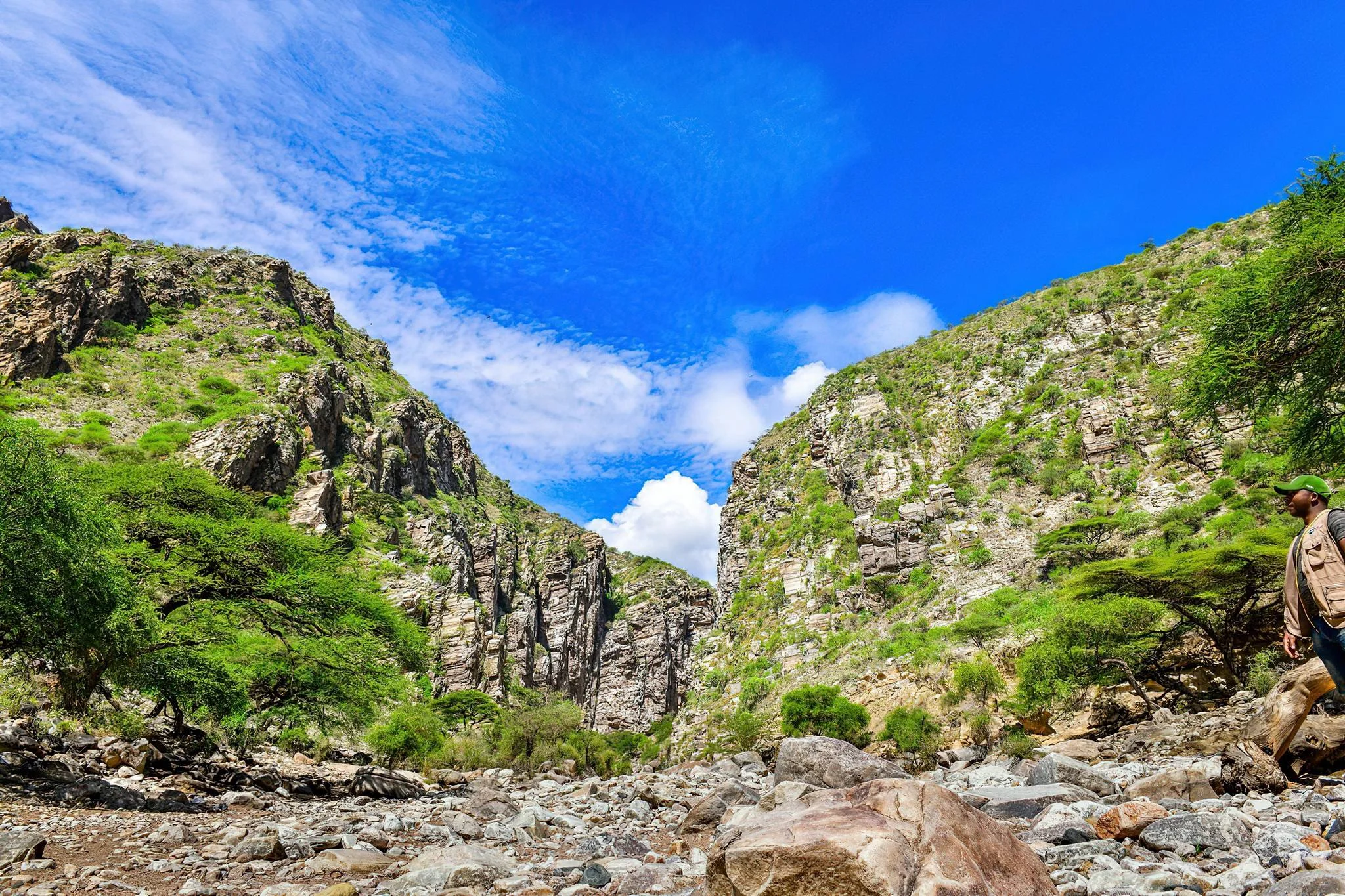
Olkarien Gorge
Olkarien Gorge brings together striking rock scenery, birdlife and the open landscapes of the Ngorongoro Conservation Area. At the eastern edge of the Gol Mountains, a narrow canyon cuts through ancient rock, creating a dramatic setting for a carefully planned guided visit. Its cliffs are particularly important for nesting Rüppell's griffon vultures, making the gorge appealing to travellers interested in birds, geology and the quieter natural features of northern Tanzania. A GORGE IN THE GOL MOUNTAINS Olkarien lies within the Ngorongoro Conservation Area, towards the Serengeti side of the wider landscape. It is a separate destination from Olduvai Gorge and from the Ngorongoro and Olmoti craters. The gorge extends for approximately eight kilometres, but that geographical length should not be confused with the distance of a visitor walk. Your actual route must be chosen around the permitted access, conditions and your group's ability. HOW THE LANDSCAPE FORMED The canyon cuts through quartzite on the eastern side of the Gol Mountains. Its form reflects the interaction of faulting and stream erosion: as the land to the east was lowered, a stream continued cutting into higher rock. The result is a deep, narrow channel with steep walls and overhanging sections. A knowledgeable guide can help you understand the landscape without needing technical geology knowledge, connecting the shape of the rocks with the forces that created the wider rift setting. VULTURES AND BIRDWATCHING Rüppell's griffon vultures are the gorge's best-known wildlife attraction. The cliffs provide nesting habitat, and patient visitors may observe birds circling, soaring or returning to the rock faces. Sightings and visible nesting activity vary with conditions, so allow time for observation and keep expectations flexible. Use binoculars or a long lens from the agreed viewing position. Keep voices low, avoid approaching nests and give the birds space. A rewarding visit protects the colony while allowing you to appreciate it. WILDLIFE IN THE WIDER LANDSCAPE Baboons are associated with the rocky surroundings, while wildebeest can occur on the nearby plains when seasonal movements and conditions are favourable. Other birdlife adds interest, but a gorge visit should be planned primarily around scenery, geology and birdwatching. Wildlife concentrations across the wider ecosystem change with rainfall and movement, so avoid building the day around an assumed herd location. Any game viewing on the approach should fit the permitted route and the wider safari programme. A GUIDED WALK WITH CLEAR LIMITS Walking activities in the Ngorongoro Conservation Area require an armed ranger with advance booking and arrangement. Confirm the activity, ranger and access details before travelling. The official Geopark route specifically identifies an upper stone-bridge section as unsafe for walking because of unstable walls and hanging rocks. This is not a feature to approach independently or an objective to insist on reaching. Follow the guide and ranger's route decisions, remain together and turn back when instructed. A full traverse or rock-climbing outing should not be assumed to be part of a standard visit. COMMUNITIES, LIVESTOCK AND WATER The gorge also has importance for nearby Maasai communities, with wells and livestock watering connected to local use. These are working places, not unrestricted visitor attractions. Respect community decisions about access and give people and livestock room. Photographs of individuals or their activities need consent. A separate cultural visit should be arranged with willing hosts rather than inferred from simply passing through the landscape. Carry your own drinking water; local wells are not a substitute for planned visitor supplies. WHEN TO VISIT There is a useful distinction between bird interest and travel conditions. March and April are often highlighted for vulture breeding activity, subject to current conditions and access, while June to October is generally a practical drier window for road access and walking. Conditions can change after rain, and the final programme needs a current local assessment. Allow flexibility for heat, weather, road conditions and restrictions around the colony. Bird activity is best approached with patience rather than a rigid timetable. PRACTICAL PLANNING Wear closed footwear with dependable grip and carry water, sun protection, snacks and a daypack. Binoculars are useful for observing the cliffs without moving closer. Rain protection and a layer for cooler mornings can also be helpful, depending on your wider itinerary. The route may involve rocky, uneven ground and should be assessed for children or travellers with mobility needs. Confirm where your vehicle will stop, the walking distance and any toilets or picnic arrangements; do not rely on facilities within the gorge. PLAN YOUR OLKARIEN GORGE JOURNEY TanzaLux Safaris can help include Olkarien in a wider Ngorongoro, Gol Mountains or Serengeti-side itinerary. Your overnight base and road transfers will determine how much time is practical for the visit. Request a quotation that clearly identifies conservation-area entry, activity arrangements, the armed ranger, guiding, transport, meals and accommodation as applicable. Leave time for observation and keep the route flexible so that the visit suits both the landscape and its living wildlife.
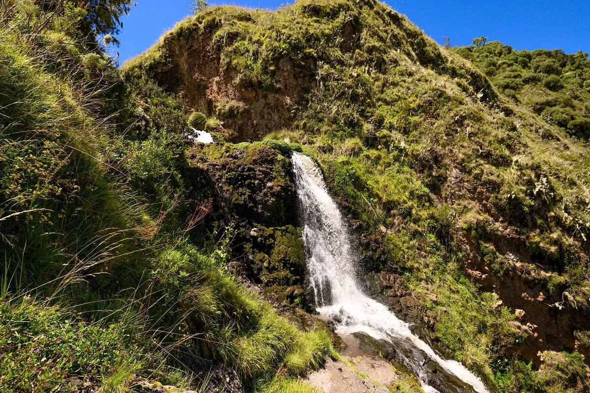
Olmoti Crater
Olmoti Crater offers an intimate way to explore the Ngorongoro highlands on foot. Green slopes, a grassy crater interior and the Munge River create a rewarding setting for travellers who want to step beyond the safari vehicle and spend time with the landscape. The experience combines a mountain walk with opportunities to observe birds, notice highland plants and learn how water and volcanic terrain shape the wider conservation area. A DISTINCT NGORONGORO HIGHLANDS EXPERIENCE Olmoti lies within the Ngorongoro Conservation Area in northern Tanzania. It is a separate crater from the much larger Ngorongoro Crater and from Empakaai. The Maasai name Olmoti is commonly translated as “cooking pot,” reflecting its crater form. A grassy basin, streams and wooded slopes give the landscape its character. Its appeal centres on a guided highland walk rather than a vehicle game drive. Choose it when your itinerary has room for an active outing, and allow enough time for the drive to the trailhead, the walking programme and the return journey. The highlands can feel cool even when lower parts of your safari route are warm. THE WALK FROM NAINOKANOKA The recognised hiking starting point is Nainokanoka Ranger Station. From there, the route climbs towards the crater rim, with a fairly steep section that should be considered when judging suitability. The ascent brings the landscape into view gradually, and a comfortable pace leaves time to appreciate both the scenery and the details beside the trail. Walking distance, duration and the final turnaround point should be agreed around the approved route, your fitness and conditions on the day. THE MUNGE RIVER AND WATERFALL The Munge River is one of Olmoti's defining features. It leaves the crater through an outlet associated with the waterfall and continues into the Ngorongoro system towards Lake Magadi. The documented walking route can include a rocky descent towards the river outlet and falls. This section needs particular care and may not suit every visitor. Follow the ranger's chosen approach and instructions, and confirm which viewpoints or waterfall sections are included in your programme. Water flow, weather and access conditions can change the experience. WILDLIFE, BIRDS AND HIGHLAND PLANTS Olmoti's grassland and surrounding habitats support wildlife such as buffalo, eland and Bohor reedbuck. These are possible sightings rather than a guaranteed checklist, and the presence of large animals is one reason walks are carefully managed. Birds and flowering plants provide further interest; sunbirds are among the birds associated with the area. A slower pace helps you notice smaller subjects as well as the broad crater view. Carry binoculars if birdwatching is important, and photograph flowers without picking or trampling them. BOOKING, RANGERS AND PERMITTED ROUTES Ngorongoro Conservation Area Authority guidance requires walks in the conservation area to be accompanied by an armed ranger and booked in advance. Plan the ranger arrangements as part of your trip rather than arriving with the expectation of a self-guided hike. Stay together, follow authorised paths and allow the ranger to decide how to respond to weather, wildlife or changing trail conditions. Access to a viewpoint or a particular descent should never be assumed simply because it appears in a route description. FITNESS AND WALKING CONDITIONS Olmoti is best suited to visitors comfortable with uphill walking and uneven ground. A shorter route can still feel demanding when the path is steep, slippery or affected by the highland elevation. Tell your planner about your walking experience, preferred pace and mobility needs. Children require a suitable route and close supervision; suitability should be assessed for the actual programme. Ask about the ascent, rocky sections and return climb, and be willing to turn back if the ranger judges conditions unsuitable. SEASONS AND WHAT TO BRING June to October is generally a practical drier period for walking, though the highlands can still experience mist, wind and showers. Long rains around March to May and short rains around October to December can make paths wet and affect road access. January and February may offer another useful window, depending on the year. Wear shoes or boots with dependable grip and carry rain protection, a warm layer, water, snacks and sun protection. Keep cameras dry and leave enough space in your daypack for layers as conditions change. BUILDING THE ITINERARY Olmoti can complement a Ngorongoro wildlife safari or a longer highlands walking journey. Combining it with another crater requires realistic road and walking time rather than assuming every attraction fits comfortably into one day. Your overnight base, conservation-area access and ranger availability all influence the schedule. Confirm accommodation and any picnic arrangements before travelling, and do not rely on refreshments or toilets being available along the trail. PLAN YOUR OLMOTI VISIT TanzaLux Safaris can help arrange a programme suited to your interests and walking ability. Request a clear quotation covering conservation-area access, any activity charges, the armed ranger, guiding, transport, accommodation and meals as applicable. Allow time for both the landscape and the walk itself, and keep flexibility for weather. An Olmoti visit is most rewarding when the route, pace and logistics are planned carefully enough for you to enjoy the highlands without rushing.
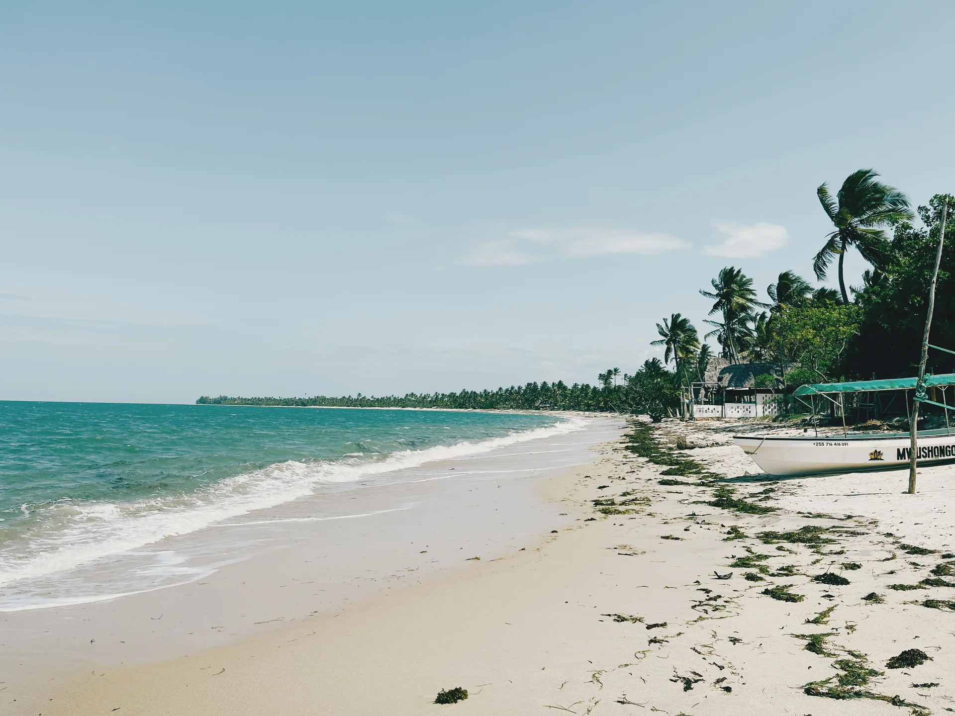
Pangani
Pangani combines Swahili coastal heritage, river scenery and a relaxed beach escape on Tanzania’s northern mainland coast. Set at the mouth of the Pangani River in Tanga Region, the historic town offers a slower pace for travellers who enjoy culture, photography, nature and time beside the Indian Ocean. A guided town walk introduces older coral-stone buildings, carved doors, places of worship and the waterfront. Local interpretation connects these details with Pangani’s trading-port past, including the history of slavery and later colonial rule, while showing how the town remains a living fishing and trading community. Ask about permission before entering historic or religious premises. The river adds another dimension to a visit, with locally arranged boat outings, waterside views and opportunities to observe birdlife. Nearby coastal accommodation can provide beach time and access to water activities. Ushongo is a separate beach base south of the river, so choose your lodging and transfer route with care. Maziwe Marine Reserve can be included as a separately arranged offshore excursion. Its tidal sandbank and surrounding reef habitat offer a different experience from the town and mainland beaches. Confirm boat safety, reserve entry arrangements, a knowledgeable guide, tides and sea conditions before departure. Snorkelling should be planned around suitable conditions, personal swimming ability and the equipment available. Allow a flexible stay with time for town heritage, the river and the coast. Confirm current Pangani–Bweni crossing arrangements when travelling to south-bank beaches, and avoid relying on an unverified ferry timetable or bridge route. Bring water, sun protection and comfortable shoes for walks, dress respectfully in town, ask before photographing residents, and protect marine habitats by keeping litter out of the water and avoiding contact with coral.
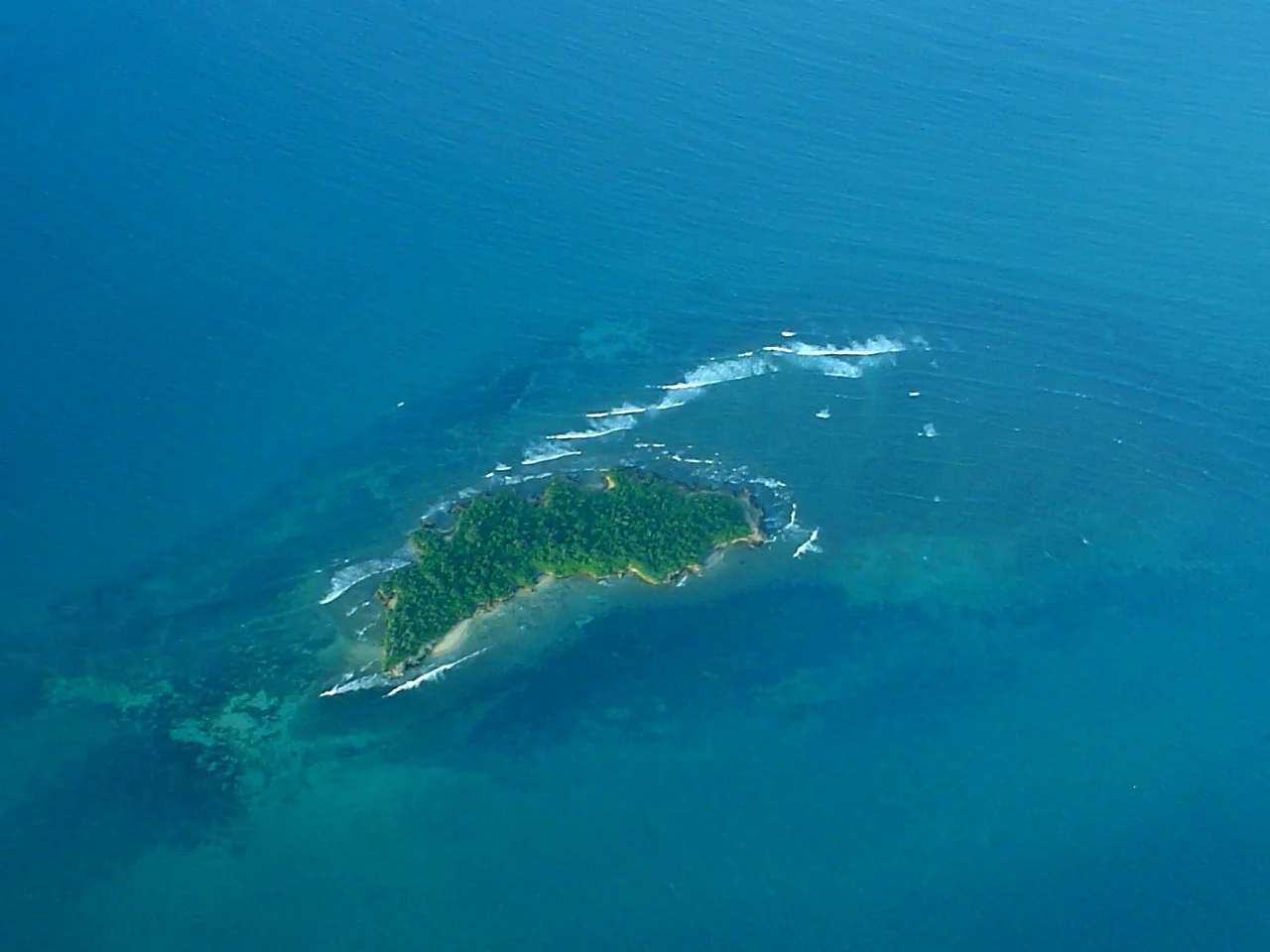
Pangavini Island Marine Reserve
Pangavini Island Marine Reserve is a small, uninhabited island off northern Dar es Salaam and part of the Dar es Salaam Marine Reserves system. Its rocky coast, island vegetation and surrounding marine habitats give it a distinct conservation character. Pangavini is best approached as a carefully arranged nature excursion, with attention to birdlife and the protected coastal environment. Published reserve guidance describes a rocky shoreline without visitor beaches and notes that visitors generally do not land. Plan to observe from a vessel at a position chosen by the skipper and reserve guidance. Landing, walking ashore or using an island facility should never be assumed from a general marine-reserve booking. Make the intended activity clear before travel and ask the organiser to confirm current access with the reserve. The island provides breeding, resting and feeding habitat for birds and other wildlife. Around the shore, reef, seagrass and intertidal environments support marine life. A visit can offer quiet observation, photography and an explanation of why small protected islands matter along a busy urban coast. Avoid promises of particular animals or a dramatic bird gathering: what is visible depends on conditions, timing and wildlife behaviour. For a bird-focused outing, tell the organiser what you hope to observe and whether you need a knowledgeable guide. Bring binoculars if useful and choose a programme that allows patient viewing from an appropriate distance. Keep noise low, avoid approaching roosting or nesting birds closely, and follow instructions about the vessel’s position. Wildlife should not be disturbed to obtain a photograph or encourage a response. Snorkelling or diving in the surrounding reserve area should be a specifically arranged activity with a suitable operator, equipment and briefing. The small distance from the city does not establish suitable water conditions or a simple entry. Confirm the exact site, the participant’s experience, how entry and reboarding work and what support is available. A boat-only observation programme remains a useful alternative when an in-water activity is unsuitable. One flexible planning outline is to meet at the confirmed mainland boarding point, complete the necessary arrangements and review the return plan with the crew. Travel to an approved observation area near Pangavini, learn about the reserve and spend time watching the island and surrounding water without landing. Add a water activity only if it has been booked, approved where required and judged suitable on the day. Return at the agreed time or continue to another expressly included stop. This outline is not a scheduled ferry service or a guarantee of activities. If you also want beach time, lunch ashore or a walking visit, ask whether a separate stop at an appropriate neighbouring destination fits the excursion. Bongoyo and Mbudya are distinct reserves with their own access and service arrangements. Do not assume that a ticket to either automatically includes Pangavini, or that entry payments cover every stop. The organiser should specify the itinerary, charges and available facilities. Prepare for time on a boat rather than for a resort day. Bring sun protection, a hat, drinking water, practical clothing and a waterproof bag for essentials. Confirm lifejackets in suitable sizes, shade and seating on the actual vessel, and any toilet or meal arrangements. Discuss children’s needs, mobility requirements and boarding assistance before confirming. Keep luggage manageable and secure items that could fall into the sea. A responsible excursion leaves the habitats undisturbed. Follow reserve and crew instructions, keep natural materials in place, avoid touching coral or marine life and take litter back to the mainland. Commercial filming, drone use, research, fishing or other specialist plans need separate advice from the relevant authorities and organiser. General tourist access does not establish permission for these activities. Dar es Salaam provides the accommodation and transport base for this visit. Allow for road traffic to the chosen departure point and keep the wider schedule flexible around wind, tide and sea conditions. Request an itemised quotation covering the vessel, guide, return journey, reserve entry and any equipment, food or additional stop. Agree the cancellation and rescheduling terms and avoid a tight flight connection after a sea excursion. Current access and services should be confirmed before committing to the plan.
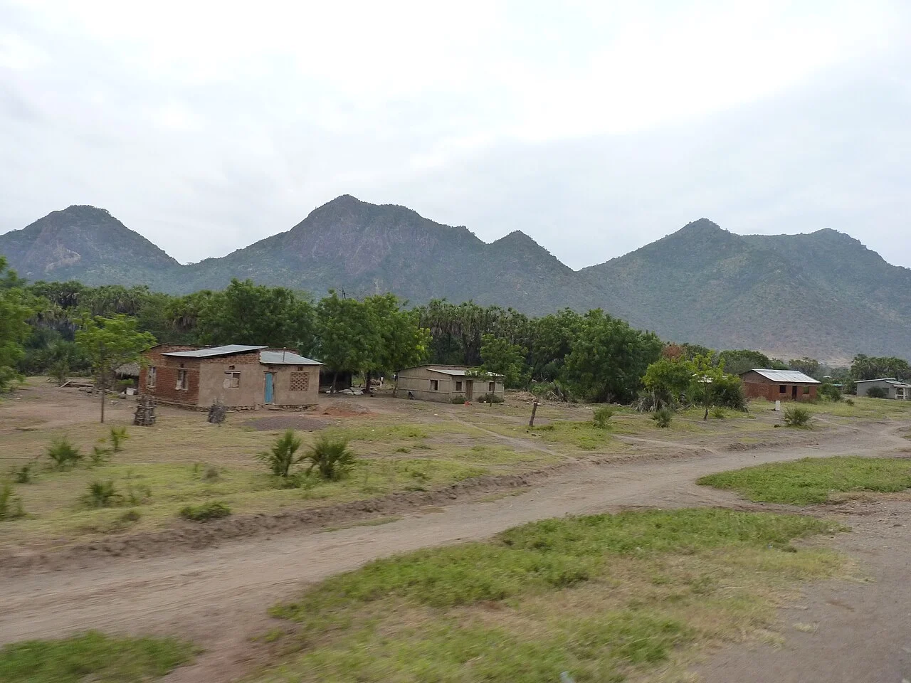
Pare Mountains
The Pare Mountains invite you to experience a quieter side of northern Tanzania: green ridges, forest trails, cultivated valleys and villages where walking brings the landscape into focus. This is a destination for travellers who enjoy taking time over a view, listening for birds in the forest and meeting people through thoughtfully arranged local visits. A Pare Mountains journey can complement a wildlife safari or become a rewarding walking trip in its own right. NORTH PARE AND SOUTH PARE The range lies in northeastern Tanzania and belongs to the Eastern Arc Mountains. North Pare is in Mwanga District; South Pare is in Same District, both within Kilimanjaro Region. The two areas offer different starting points and routes, so choose your base around the experience you want. A village walk in North Pare and a forest summit hike in South Pare should be planned as separate outings with their own transport and guide arrangements. NORTH PARE: USANGI, VILLAGE PATHS AND KINDOROKO Usangi is a useful centre for exploring North Pare. Guided walks can connect mountain scenery with cultivated slopes, village paths and local markets when their schedules fit your visit. Kindoroko, at roughly 2,100 metres, offers a more active forest walking option. Depending on the route and weather, viewpoints may reveal surrounding plains, Lake Jipe or distant Kilimanjaro. Clear views are a bonus rather than a promise: cloud and haze can hide even the most impressive scenery. Agree the route, elevation gain and expected walking duration with your guide before setting out. SOUTH PARE: CHOME FOREST AND SHENGENA For a deeper forest experience, focus on Chome Nature Forest Reserve in South Pare. Its montane habitats include mossy forest, heath and moorland. Shengena Peak rises to approximately 2,460 metres and provides a goal for fit walkers who want a demanding outing. The reserve is a strong birdwatching destination, with the endemic South Pare white-eye among its notable species. Monkeys, chameleons and butterflies add interest, although sightings depend on patience, conditions and chance. Forest walking rewards slow observation as much as distance covered. CULTURE AND EVERYDAY LIFE The mountains are also a lived landscape. Cultural visits work best when a local host helps shape the experience, whether that means a village walk, a conversation about farming or a visit to an open market. Ask before photographing people, homes or working farms, and follow your host's guidance about sensitive places. Sacred sites, private land and community activities require permission; they should never be treated as automatically available attractions. Allow enough time for conversation and respect residents' daily routines. CHOOSE THE RIGHT WALK A short village outing can suit travellers who want gentle activity, while longer forest routes involve uneven surfaces, climbs and potentially slippery ground. Summit days need greater endurance and an early start. Tell your planner about walking experience, mobility needs and any preference for shorter distances. A good itinerary includes time for breaks and a route that can be adjusted if rain, fatigue or access conditions change. Travellers with children should choose a pace and route suitable for the youngest walker. HOW LONG TO STAY A focused day visit can introduce one part of the mountains, provided transfer arrangements leave enough time on foot. Two or three days create more room for a village experience, a forest walk and unhurried photography. An itinerary covering both North and South Pare needs additional road travel and should be designed around realistic daily distances. Overnight accommodation and any camping must be confirmed before travel; facilities, comfort levels and availability vary by location. PRACTICAL PLANNING June to October is generally a useful drier window for walking, although mountain mist and showers remain possible. Carry footwear with reliable grip, rain protection, a warm layer, water, snacks and sun protection. Keep valuables and camera equipment dry and bring binoculars if birdwatching interests you. A local guide helps with route choice, navigation and community introductions. Confirm reserve access, entry fees, guide arrangements, permitted trails and camping rules before arrival. Stay on agreed paths, take litter out and give wildlife space. PLAN YOUR PARE MOUNTAINS JOURNEY TanzaLux Safaris can help shape a visit around your interests, walking ability and wider Tanzania itinerary. Request a quotation that clearly identifies the mountain area, transport, guiding, accommodation, meals and any reserve charges. Combine the mountains with nearby destinations only after allowing time for the road transfers, and keep some flexibility for weather. The most rewarding trip is one that gives you time to experience the forests and communities at a comfortable pace.
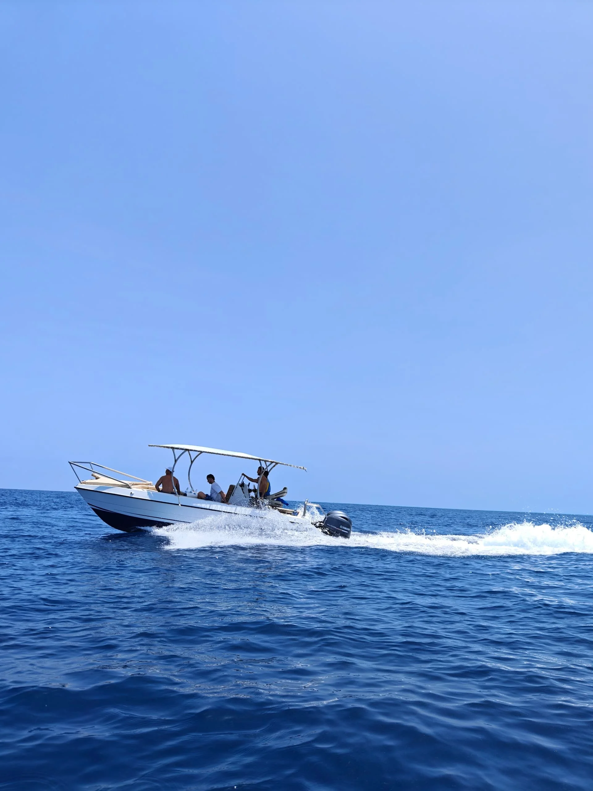
Prison Island (Changuu)
Prison Island, also called Changuu Island, brings together Zanzibar’s coastal history, giant tortoises and the clear waters of the Indian Ocean. Set just offshore from Stone Town on the western side of Unguja, it offers a rewarding change of pace from the town’s narrow streets and busy markets. A short boat journey leads to an island where visitors can explore historic buildings, observe the tortoise sanctuary and enjoy views back towards Zanzibar’s coastline. The name often surprises first-time visitors. The prison complex built during the colonial period is best understood alongside the island’s later role as a quarantine station. A guided walk helps explain how maritime travel, public health and Zanzibar’s wider history shaped the site. The island also has connections to the era of slavery, a subject that deserves respectful interpretation. Combining Changuu with a Stone Town heritage walk provides a fuller picture of that history rather than treating the buildings simply as a photographic backdrop. The giant tortoise sanctuary is the main wildlife attraction. These are land tortoises, distinct from the sea turtles found around parts of Zanzibar. The colony includes impressively large, long-lived animals, and time spent observing their slow movements is often the most memorable part of the visit. Follow the keepers’ instructions, give each animal space and supervise children closely. Never climb on, lift or chase a tortoise. Feeding should take place only when authorised by the sanctuary team, using food they approve. Beyond the sanctuary, allow time for an unhurried island walk, coastal photographs and a beach stop if the conditions are suitable. Swimming and optional snorkelling can add another dimension to the excursion, but water activities depend on tides, currents, wind and visibility. Coral and fish sightings vary with the location and the day. Guests can enjoy the historical visit and tortoise sanctuary without entering the water, making the outing flexible for couples, families and mixed-interest groups. Plan approximately three to four hours for a relaxed visit departing from Stone Town, with additional time for hotel transfers. Boats commonly take around twenty to thirty minutes each way, though the crossing is affected by the vessel and sea conditions. Travellers staying on the north or east coast should allow for the road journey to Stone Town as well. Morning departures can leave more flexibility for the rest of the day; an early start may also help avoid the busiest visiting periods, although a quiet island cannot be guaranteed. June to October is a popular period because of Zanzibar’s generally drier weather. January and February are also appealing for warm coastal holidays. Wetter months can still offer worthwhile visits when the sea is suitable, but plans should remain flexible. Sunshine alone does not determine whether a boat trip should operate, and the skipper’s assessment takes priority over an itinerary. Bring drinking water, sun protection, comfortable walking footwear, swimwear if needed and a waterproof pouch for valuables. Confirm the current entrance charge, boat arrangements, guiding, hotel transfers, equipment and any meals before booking. A Prison Island visit can be paired with Stone Town or the separate Nakupenda sandbank, with the order adjusted to conditions. Each combination needs its own timing and inclusions agreed in advance. TanzaLux can help shape the day around your interests, hotel location and preferred pace, from a simple island outing to a fuller Zanzibar excursion.
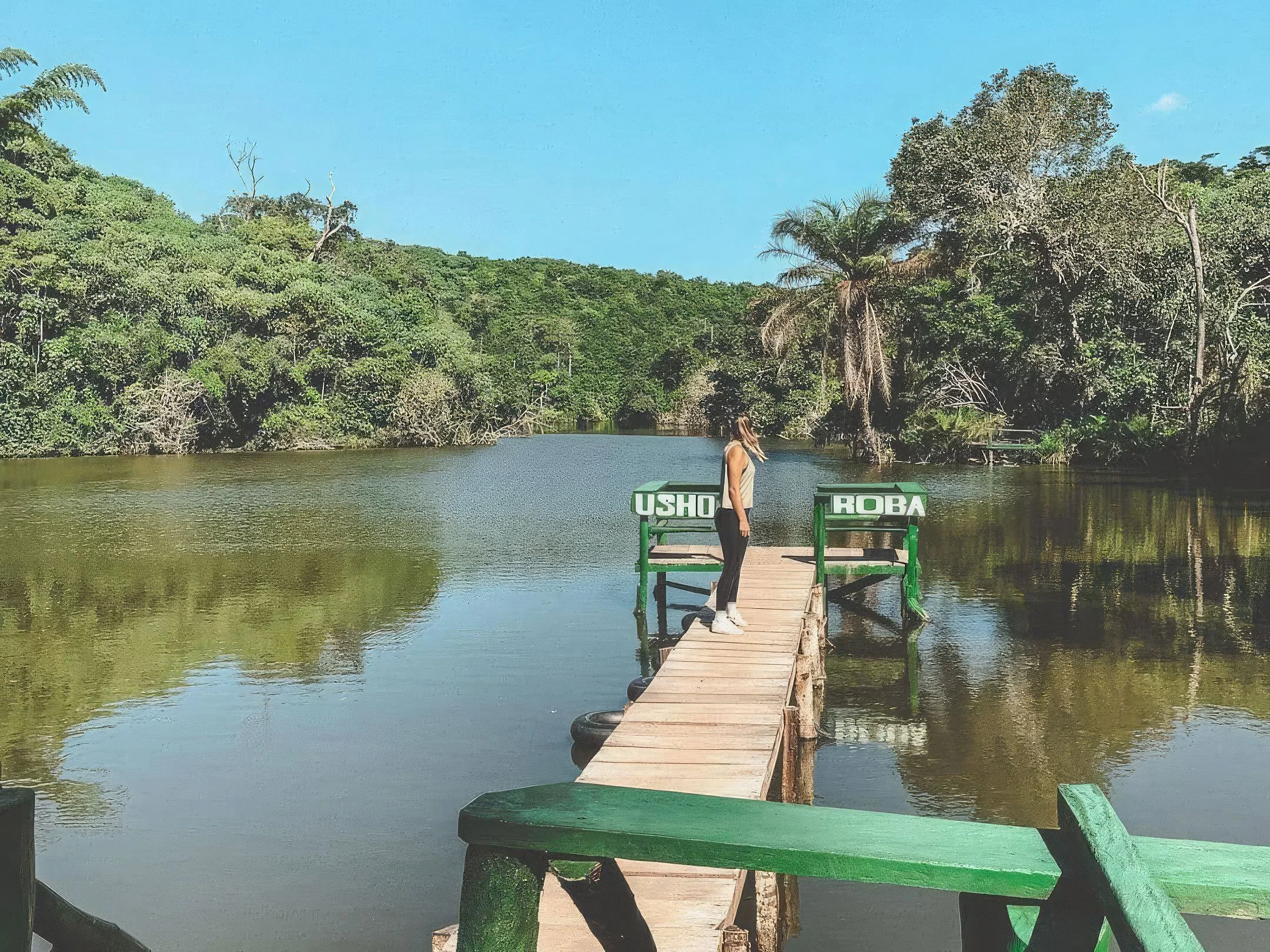
Pugu Kazimzumbwi Nature Forest Reserve
Pugu Kazimzumbwi Nature Forest Reserve offers a green escape from Dar es Salaam, with coastal forest, gentle and steeper hills, bamboo stands and quiet walking trails. Located in Kisarawe District in Pwani Region, southwest of the city, it protects a valuable remnant of Tanzania's lowland coastal forests and is often described as the lungs of Dar es Salaam. A guided visit can combine forest walks with viewpoints and time around Minaki dam. The reserve is known for birds, colobus monkeys, bats and smaller forest creatures, though sightings vary. Bat caves and places with local spiritual significance add another dimension to the landscape; access should follow the guide's instructions and respect local customs. Canoeing or kayaking can be included when available and conditions permit. Choose a relaxed nature outing, a longer hike or a camping stay arranged in advance. Dar es Salaam provides a convenient accommodation base, and the reserve can fit into a wider coastal itinerary. Bring shoes with good grip, water, sun protection and rain protection, and confirm the entrance, permits, guiding and activity arrangements before travelling.
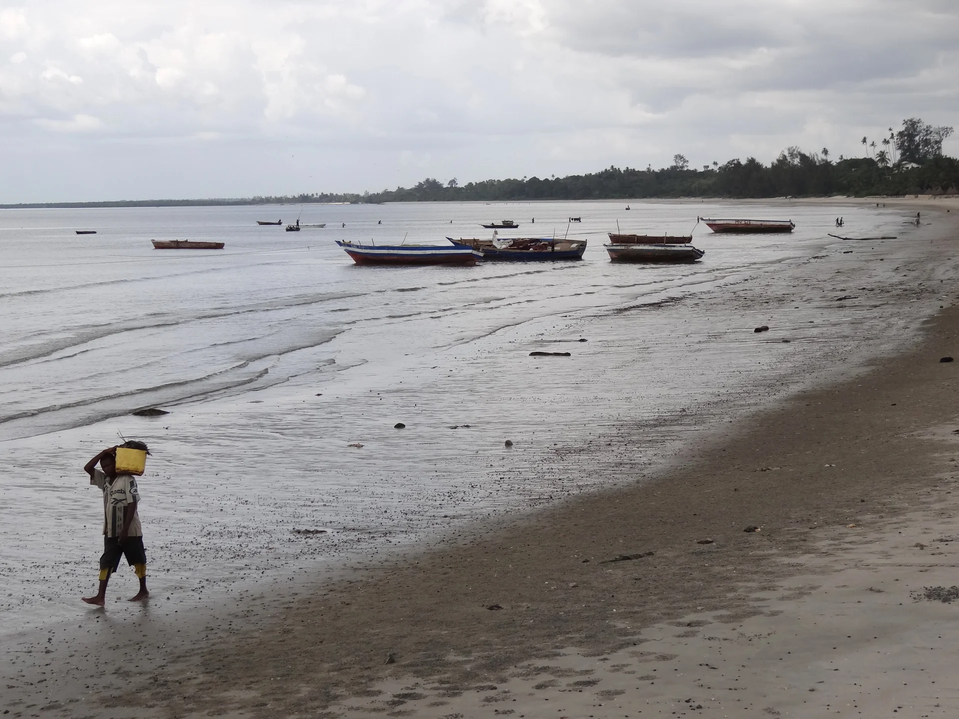
Pwani
Pwani, Tanzania’s Coast Region, offers a varied journey through mainland coastal heritage, forest, wildlife country and Indian Ocean islands. With its regional headquarters at Kibaha, Pwani is a region rather than a single resort or town. Travellers can choose a short heritage escape around Bagamoyo, a guided forest walk near Kisarawe, a coastal safari at Saadani or a longer marine holiday on Mafia Island. The best itinerary starts with your interests and gives each area enough time. Bagamoyo is a rewarding introduction to the Swahili coast. Guided walks can connect the old town, historic buildings, museums and the working waterfront, where traditional boats and the fishing trade remain part of daily life. Nearby Kaole adds a different layer of coastal history through its ruins. Visit with a knowledgeable local guide who can explain the places, their communities and the difficult histories associated with caravan trade, enslavement and colonial rule. Confirm which buildings are open, and treat religious sites, graves and memorials with care. In Kisarawe, Pugu Kazimzumbwi Nature Forest Reserve provides a greener contrast to the coast. Its lowland forest, bamboo, birdlife and viewpoints lend themselves to guided walking and photography. Choose a trail that fits your fitness and the day’s conditions, with water, walking shoes and time to pause. Canoeing or other optional activities should be arranged with the reserve and confirmed as operating; a forest visit does not automatically include every advertised experience. Respect sacred places and follow the guide’s access instructions. Saadani brings together savanna, coastal habitats and the Wami River near the Indian Ocean. A separately arranged park stay can include game drives and, when operating, a guided river boat safari. Possible wildlife includes giraffes and antelope on land, with hippos, crocodiles and waterbirds around the river. Sightings vary with habitat, weather and animal movements. Beaches within wildlife country require ranger guidance, so an open stretch of sand should never be treated as an unrestricted swimming or walking area. Mafia Island, also part of Pwani Region, is an offshore extension requiring its own transport and accommodation. Marine outings can introduce the reefs and coastal habitats associated with Mafia Island Marine Park, while arranged visits around Chole add island scenery and heritage. Snorkelling and diving depend on conditions, the selected site and each participant’s ability. Discuss your experience with a qualified operator before booking. Seasonal whale shark outings may be available around Mafia, but neither sightings nor a particular marine activity should be promised for every date. For a suggested four-day mainland journey, begin with a transfer from Dar es Salaam to Bagamoyo and a relaxed waterfront introduction. Spend the second day exploring the old town and Kaole with a guide. On the third day, transfer to a pre-booked Saadani stay, allowing the journey to determine how much activity fits. Use the fourth day for a planned game drive before returning or continuing. Add nights for a slower safari pace. Pugu is better considered as a separate Kisarawe outing, while Mafia deserves its own island segment rather than being squeezed into this outline. Accommodation choices depend on the part of Pwani you visit: a town guesthouse, a coast hotel, a safari lodge or an island stay serves a different itinerary. Confirm location, room facilities, access, meals and any activity arrangements directly. For travel through Dar es Salaam, allow for traffic and onward check-in requirements. Mainland transfers, flights, boats, park admission and specialist guiding should appear clearly in the quote. There is no single transfer time or entrance ticket covering the whole region. The coast is generally warm, with a main rainy period from March to May and shorter rains often occurring from October to December. June to September is a common choice for a drier mainland itinerary, although sea conditions and individual activities have their own patterns. Carry sun protection, a light rain layer, comfortable shoes and modest clothing for town and cultural visits. Ask before photographing people, support locally arranged guiding and crafts, and leave beaches, ruins, forests and reefs as you found them.
Rau Nature Forest Reserve
Rau Nature Forest Reserve offers a refreshing nature experience close to Moshi, where shaded paths, tall trees and the sounds of forest life create a different rhythm from the town outside. It is an appealing choice for travellers who want a guided walk, time to watch birds or a gentle introduction to the natural landscapes around Kilimanjaro. Rather than rushing between viewpoints, allow time to notice movement in the canopy, small creatures beside the path and the changing light beneath the trees. A FOREST CLOSE TO MOSHI Located approximately three kilometres from Moshi town, Rau protects a lowland forest landscape that includes groundwater-fed and wetter habitats. Its proximity to town makes it practical for a focused outing during a stay in Moshi. The reserve is a forest destination with its own access arrangements, so confirm the correct entrance, applicable charges and available routes before setting off. It should be planned as a distinct excursion rather than treated as an open public park. GUIDED FOREST WALKS Walking is one of the most rewarding ways to experience Rau. A local guide can help you choose a route, identify interesting plants and interpret signs of wildlife that are easy to overlook. Ask for an outing suited to your pace, with time for observation and breaks. Forest paths can have roots, wet patches and uneven surfaces, particularly after rain. A shorter route may be appropriate for visitors who prefer gentle activity, while a longer outing provides more time to explore permitted paths. Agree the distance and expected duration in advance. WILDLIFE AND BIRDWATCHING Rau's documented wildlife includes black-and-white colobus monkeys, blue monkeys and Kirk's dik-dik, as well as birds, butterflies and dragonflies. Sightings are always a matter of conditions and chance. Walking quietly, pausing often and looking carefully into the canopy can make a visit more rewarding. Bring binoculars if birdwatching is a priority and request a guide with relevant experience. Avoid feeding animals or approaching them for a photograph; give them space to behave naturally. TREES, PLANTS AND FOREST DETAIL The forest also rewards attention to its vegetation. A notable large mvule tree, also known as African teak, is among Rau's recognised attractions where access is permitted. Guides can explain the forest's ecological and local cultural significance without turning sensitive places into spectacle. Leaves, vines, bark patterns and filtered sunlight provide engaging photographic subjects even when animals remain hidden. Stay on authorised paths and leave plants, seeds and other natural objects where they belong. CYCLING, PICNICS AND A SLOWER DAY OUT Cycling and picnics are additional possibilities when they are permitted and arranged for the selected route. Confirm bicycle availability, helmet provision, trail condition and the riding ability required before choosing a cycling programme. Walkers and riders should give each other room and follow the guide's instructions. A picnic can provide a relaxed break, but it needs an agreed location and practical arrangements for food and waste. Carry all rubbish out and avoid leaving scraps that could attract wildlife. COMMUNITY CONNECTIONS A forest outing can sometimes be combined with locally arranged cultural or agricultural experiences around the reserve. These should be agreed with willing hosts and included clearly in your itinerary. Ask before photographing people, homes or working fields, and respect local routines. Private land and culturally sensitive places require permission. Activities such as tree planting depend on an organised programme and current approval; they should be requested in advance rather than assumed to be included with every visit. WHEN TO VISIT AND HOW MUCH TIME TO ALLOW Rau can be considered throughout the year when conditions and access allow. June to October is generally a practical drier period for walking; the long rains around March to May and short rains around October to December can leave paths wet or muddy. January and February may offer another useful window, depending on the year. A half-day allocation can suit a focused visit, but your actual time should reflect the chosen route, transfers and interest in birdwatching or photography. Allow a more relaxed schedule when adding a picnic or community activity. PRACTICAL VISITOR INFORMATION Wear closed shoes with grip and comfortable clothes suitable for a warm, sometimes humid forest. Carry water, rain protection, sun protection and insect repellent, and keep camera equipment protected from moisture. Tell your planner about children's ages, walking ability or mobility needs so that an appropriate route can be assessed. Confirm current entry procedures, guiding arrangements, facilities and any cycling or picnic permissions. Nearby Moshi is a convenient base; a visit does not require an overnight stay inside the reserve. PLAN YOUR RAU FOREST VISIT TanzaLux Safaris can help fit a Rau visit into your Moshi stay or wider northern Tanzania itinerary. Request a programme that clearly states the walking or cycling route, guide, transport, entry charges, meals and optional activities. Leave space in the schedule for quiet observation, and choose experiences that match your interests and pace. Rau is best enjoyed as an opportunity to slow down and explore a living forest with care.
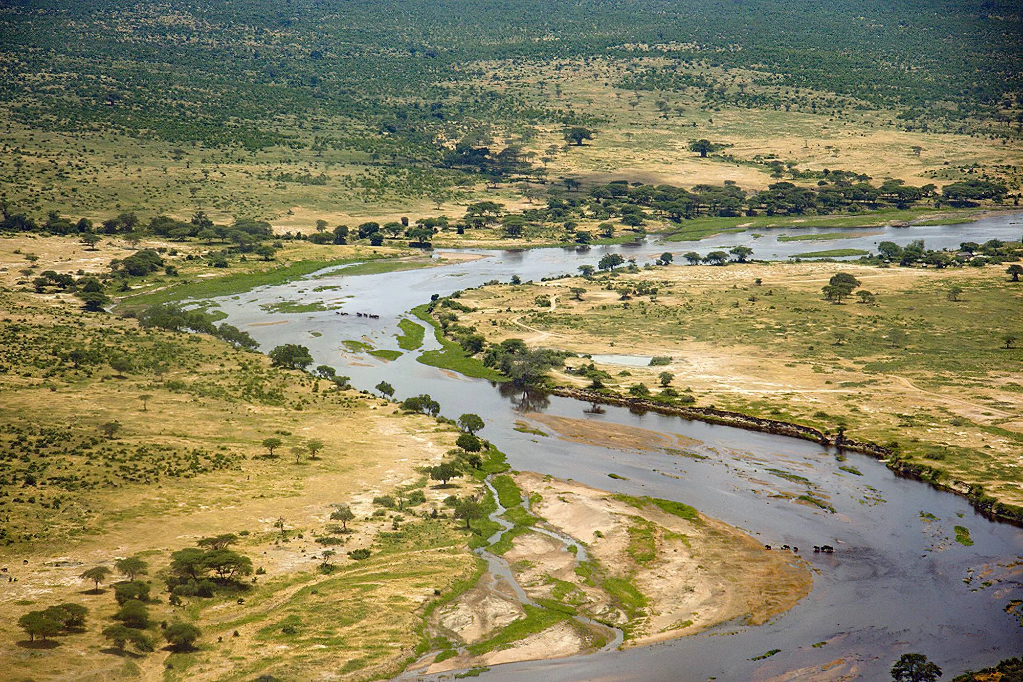
Ruaha National Park
Ruaha National Park is one of Tanzania's most impressive wilderness destinations and one of the defining parks of the Southern Safari Circuit. Covering approximately 20,226 square kilometres in south-central Tanzania, Ruaha is Tanzania's second-largest national park and protects an enormous landscape of baobab-studded savanna, miombo woodland, rocky kopjes, seasonal sand rivers and riverine habitats. The Great Ruaha River is the ecological heart of the park. Permanent pools, river channels and sand-river seeps become especially important during the dry season, drawing elephants, buffalo, antelopes, predators and prolific birdlife toward the river system. Ruaha is particularly famous for predators. Large lion prides are a defining feature of the park, while leopards, cheetahs, spotted hyenas and African wild dogs also occur across the wider landscape. The park is equally important for herbivores. Large elephant and buffalo gatherings are common in the dry season, while giraffes, zebras, impala, waterbuck and other plains animals share the landscape with some of Tanzania's more unusual antelope species. Greater kudu is one of Ruaha's signature animals, while sable, roan and lesser kudu add a strong southern African influence to the park's wildlife. This mix reflects Ruaha's position where eastern and southern African fauna overlap. Birdlife is exceptional. TANAPA records more than 570 species, supported by the park's diverse grasslands, woodland, riverine habitats, rocky areas and seasonal wetlands. Ruaha's scenery is equally memorable. Giant baobabs rise above golden plains, granite kopjes create natural viewpoints and the river system forms a lifeline through an otherwise dry wilderness. Because Ruaha is more remote than many northern safari parks, the overall experience can feel quieter and more expansive. Game drives often cover large areas, and wildlife encounters can take place with fewer vehicles nearby. In addition to game drives, Ruaha offers guided walking safaris in designated zones, birdwatching, photography and other authorized wilderness activities. With TanzaLux Safaris, Ruaha can be experienced as a private fly-in safari or as part of a longer Southern Tanzania journey combined with Mikumi, Udzungwa Mountains and Nyerere National Park.
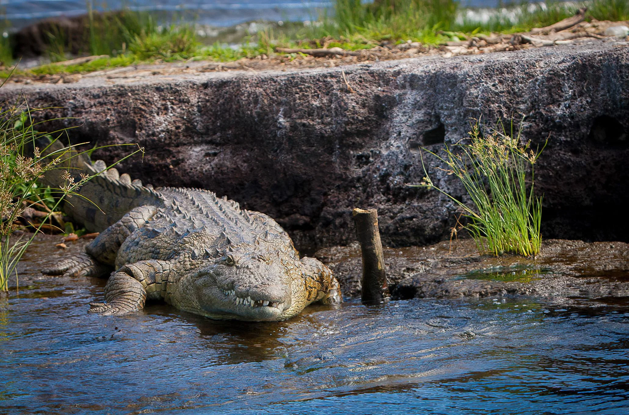
Rubondo Island National Park
Rubondo Island National Park brings together forest, wetland and lake in the southwest of Lake Victoria, in Tanzania’s Geita Region. Sandy coves and rocky shores surround an island interior of evergreen and semi-deciduous woodland, while papyrus fringes provide shelter for shy antelope and waterbirds. For travellers who enjoy an unhurried safari, Rubondo offers time to listen to the forest, follow wildlife with expert guides and explore the shoreline by boat. The island’s conservation story is an essential part of its appeal. Protected as a game reserve in 1965 and established as a national park in 1977, Rubondo became a sanctuary for animals introduced through a pioneering conservation programme. Chimpanzees released in the 1960s adapted to life in the forest, and their descendants now live wild on the island. Guided chimpanzee trekking and habituation experiences offer an opportunity to learn about this history and observe natural behaviour when animals can be located. Access depends on permits, current park arrangements and suitable conditions; encounters are never guaranteed. Wildlife is spread across a mosaic of habitats. Sitatunga favour swamp margins, while bushbuck, vervet monkeys and other forest mammals occupy the island interior. Elephants and giraffes also occur in the park. Hippos and crocodiles inhabit lake edges, and otters may be seen around quieter bays. African fish eagles call above the water, with herons, egrets, kingfishers, cormorants and African grey parrots adding to the birding interest. A patient approach is especially rewarding here: dense vegetation makes sightings different from an open plains safari. Days can combine ranger-led forest walks, boat safaris, birdwatching, photography and game drives where vehicles and routes are available. Anglers can arrange permitted catch-and-release fishing for Nile perch. Shoreline relaxation and sunset viewing make a pleasant balance to active exploration; all waterside activities should follow local guidance. Forest outings also reveal butterflies, orchids, tracks and the smaller details of the island ecosystem. June to October generally offers drier conditions for walking and wildlife activities. The wetter months bring a greener forest and seasonal migrant birds, with short rains typically in October–December and longer rains in March–May. Accommodation and transport availability vary, so island flights or boat transfers should be coordinated with the stay. We suggest allowing three or four nights for a relaxed mix of activities, especially when chimpanzees are a priority. Rubondo can be planned alongside the Serengeti or a broader Lake Victoria journey, with connections matched to the travel dates.
Saadani National Park
Saadani National Park: Wildlife, Wami River and the Indian Ocean Saadani offers one of Tanzania’s most distinctive safari settings: grassland, coastal woodland and a wildlife-rich river sit beside the Indian Ocean. A visit can move from a morning game drive to a guided river excursion and then a quiet moment on the beach. The appeal lies in that variety, with ocean air and coastal scenery adding a different atmosphere to the classic safari experience. Established as a national park in 2005, Saadani protects approximately 1,100 square kilometres on Tanzania’s mainland coast. Its location between the Bagamoyo and Pangani areas makes it a rewarding option for travelers building a mainland coastal itinerary. It is particularly suited to visitors who want nature, wildlife and relaxation within one carefully planned stay. Where Saadani Is Located The park lies on the Indian Ocean coast across the Pwani and Tanga Regions. Dar es Salaam is a useful starting point from the south, while Pangani and Tanga provide approaches from the north. Although Saadani is often described as close to Dar es Salaam, the journey still needs proper planning: the chosen gate, lodge and road conditions determine the actual transfer. Before booking, identify the accommodation location and the activities you want to include. A map showing the park boundary is not enough to judge how long it takes to reach a river launch point or game-viewing area. Plan around the correct entrance and leave space for gate formalities, lodge check-in and a relaxed first activity. A Landscape Where Different Habitats Meet Saadani’s character comes from the connection between savanna, coastal forest, dunes, mangroves and the Wami River estuary. Open areas offer views across grassland, while denser vegetation creates a more intimate game drive. Around the river, the scenery changes again, with channels and shaded banks leading toward the coast. These habitats also explain why the park deserves more than a hurried drive. A visitor concentrating only on large mammals may miss the birdlife, palms, changing shoreline and river scenery. A balanced stay gives time to appreciate each setting rather than trying to reproduce the same experience found in a larger inland safari park. Game Drives and Wildlife Giraffe, buffalo, waterbuck, hartebeest and warthog are among the mammals associated with Saadani’s coastal savanna. Elephants occur, and lions are sometimes recorded, but neither should be promised on a particular excursion. The park’s vegetation, wildlife movements and daily conditions influence what can be seen. Arrange game drives at a comfortable pace, with time to stop and observe rather than chase a checklist. Early and later daylight often make appealing periods for wildlife observation and photography, subject to park operating rules. A guide can explain tracks, habitat changes and animal behavior even when a drive produces fewer conspicuous sightings. Keep expectations realistic about the famous idea of wildlife on the beach. Animals may use coastal habitats, but elephants walking beside the surf are an exceptional encounter rather than a scheduled attraction. Saadani is worth visiting for its combined landscape and range of experiences; one dramatic photograph should not become the standard by which the entire trip is judged. Wami River Boat Safaris The Wami River is a signature part of a Saadani visit. Hippos and Nile crocodiles inhabit the river, and the banks offer opportunities to observe birds and mangrove scenery. A guided boat excursion gives a different perspective from a game drive, placing attention on the water, banks and wildlife using the river corridor. Confirm the excursion’s availability and timing when planning your stay. Water conditions, tides near the estuary, operational arrangements and the day’s safety assessment can influence the outing. Use an authorized service, wear the provided life jacket and follow the skipper’s instructions throughout. Keep hands inside the boat and avoid behavior that encourages wildlife to approach. The river is a place for supervised wildlife viewing. It should not be treated as a swimming location, and visitors should not walk casually along banks to get closer to hippos or crocodiles. A good boat safari allows observation at an appropriate distance, with safety and animal behavior determining the route and stopping points. The Beach Experience The Indian Ocean shoreline gives Saadani a restful element that is unusual within a mainland wildlife safari. A permitted beach walk can provide time to enjoy the horizon, coastal vegetation and the changing texture of the sand. Morning light is especially attractive for photographs, while time beside the sea can fit naturally around more active excursions. The beach remains part of a protected wildlife landscape. Ask the guide or lodge which areas can be used and when, and do not wander into dunes or nesting zones. Swimming should only be considered in a designated location after current conditions have been checked. Currents, surf and proximity to river mouths make blanket claims of safe swimming inappropriate. Green Turtles and Coastal Conservation Saadani’s beaches provide nesting habitat for green turtles. This is an important conservation feature, with any observation dependent on season, monitoring arrangements and permission. A turtle sighting or hatchling event cannot be guaranteed for a guest’s travel dates. When an approved observation opportunity is available, follow the conservation team’s guidance closely. Give nests and animals space, avoid flash photography or bright lights when instructed, and never handle eggs or hatchlings. Even without seeing a turtle, learning how the coastline is protected adds meaning to a visit and helps explain why some areas have restricted access. Birdwatching and Photography Birdwatchers can explore a varied combination of coastal, river and savanna habitats. Kingfishers, bee-eaters, fish eagles and shorebirds are among the groups that make the park rewarding. The best itinerary for a keen birder allows patient stops and time in more than one habitat, rather than treating birds as occasional additions to a game drive. Bring binoculars even if birding is a secondary interest. Photographers can look for wildlife portraits, palms, river channels and broad coastal scenes. Keep equipment protected from dust, water spray and salt exposure. A long lens is useful for observing animals without approaching them, while a smaller camera may be easier to manage during a boat excursion. Guided Walks and Local Culture Where park arrangements permit, guided walks provide an opportunity to notice tracks, vegetation and smaller wildlife. A walk should be arranged through the appropriate guide or ranger service, with a route chosen for conditions and the group’s ability. Do not assume that all beaches, riverbanks or game-drive areas are open for independent walking. A respectful village or cultural visit can add another perspective to a coastal journey. Saadani village has a history connected with the Swahili coast and maritime trade. Arrange visits through local hosts, confirm what is included and ask before photographing people or private property. Cultural encounters are most rewarding when they are welcomed and allow time for conversation. Best Time to Visit June to October is generally the main dry period and a practical choice for easier access and a varied safari stay. January and February often provide a shorter drier window. The long rains are usually associated with March to May, while shorter rains commonly occur in November and December. Actual weather varies, and the coastal climate is warm and humid. A greener-season visit can offer attractive scenery, but rain may affect tracks and the range of activities available. Choose accommodation and transport with that flexibility in mind. Avoid making a fixed program dependent on a particular road, boat departure or beach condition without checking the current situation close to travel. How Long to Stay A day visit can provide an introduction when the transfer is realistic, but it offers less time to experience the park’s different environments. Two or three nights are a useful planning choice for combining game drives, a Wami River outing and some coastal downtime. More nights suit visitors who want a slower stay with dedicated birding or photography. For a relaxed example, arrive and settle into your accommodation on the first day. Use the next day for a game drive and a river excursion when available, with breaks between activities. An additional day can allow another drive, an approved walk or a locally arranged visit. The final schedule should follow current conditions and your interests rather than force every option into one day. Getting There and Safari Combinations Road transfers commonly approach from Dar es Salaam through the Bagamoyo area or from Tanga through Pangani. As a broad planning guide, allow about four to five hours from Dar es Salaam and around three to four hours from Tanga, with substantial variation for the gate, lodge, traffic, roadworks and weather. Confirm the actual route and driving estimate before departure. Julius Nyerere International Airport in Dar es Salaam is the main international gateway for many visitors. Tanga may also be useful for some mainland itineraries, subject to current air services. Charter or airstrip arrangements should be confirmed for the travel date and paired with a reliable ground transfer. A flight connection must be booked as part of the full journey, not inferred from the park’s location. Saadani combines naturally with Bagamoyo, Pangani and other mainland coastal stays. Zanzibar can be included through separately confirmed air or ferry connections and mainland transfers. Mikumi or other inland parks require additional travel time; check the full itinerary distances so that a coastal safari does not become a sequence of rushed transfers. Accommodation and Budget Planning Lodges and tented accommodation inside or near the park can provide a convenient base, but location matters as much as room style. Confirm access to activities, included meals, drinking water, transfers and the arrangements for early departures. Accommodation farther away may be suitable for a broader coastal trip while adding travel to each park excursion. Ask for an itemized quotation showing park entry, vehicle charges where applicable, guides, boat safaris, accommodation, meals and transport. Rates depend on visitor category, age, activity and overnight arrangements, so an entry fee alone does not represent the cost of the complete visit. Confirm the current inclusions and any separate charges before booking. Families, Preparation and Responsible Travel Saadani can suit families when drives, transfers and boat outings match the children’s stamina and supervision needs. Discuss age restrictions, life-jacket sizes and the lodge’s facilities before confirming a program. A relaxed schedule with shade, water and breaks is more comfortable than a long day of continuous activities in coastal heat. Pack lightweight clothing, comfortable shoes, a hat, sun protection, insect repellent, drinking water, binoculars and a camera. A light rain layer is helpful, and closed shoes are sensible for approved walks. Keep valuables and electronics protected during river excursions and check the baggage allowance for any small-aircraft transfer. Follow guides and rangers, stay on designated tracks, avoid feeding wildlife and take all litter out. Leave shells, plants and other natural materials in place. Respect turtle areas and mangroves, and check permission before specialized filming or drone use. Thoughtful behavior protects the coastline and the wildlife that make Saadani distinctive. Plan Saadani with TanzaLux Safaris Start with your preferred balance: game viewing, a Wami River safari, birding, beach time or a wider coastal journey. Share your dates, available nights and travel style so that transport, accommodation and activities can be arranged together. TanzaLux Safaris can shape a private itinerary around the time you have and the experiences you most want to enjoy.
Saanane Island National Park
Saanane Island National Park offers an island nature escape on Lake Victoria beside Mwanza. Granite boulders, grassy clearings, lakeshore thickets and woodland create a compact setting for wildlife walks, birdwatching and views across the water toward the city. A short arranged boat crossing makes it a practical addition to a Mwanza stay. Named after Mzee Saanane Chawandi, a local farmer and fisherman, the island has a long connection with conservation education and recreation. It became a national park in 2013. Today a visit can combine guided nature interpretation with time at designated viewpoints and picnic areas. Walk the marked trails with your guide or according to park instructions, watching for impala, rock hyrax and vervet monkeys. The rocky habitat also supports lizards, while the lakeshore attracts birds such as kingfishers, fish eagles and cormorants. Wildlife sightings vary, so take time to observe quietly and avoid feeding or approaching animals. Granite lookouts and shoreline scenery provide opportunities for photography, with routes chosen to suit your group’s fitness and mobility. A picnic or a separately arranged lake excursion can round out the visit. Recreational fishing requires park permission and follows catch-and-release rules under ranger guidance; confirm availability, equipment and charges before booking. Most visitors plan a day outing and stay in Mwanza. Confirm boat departures, current park access, guiding, fees and return arrangements in advance. Wear a lifejacket during the crossing, check lake conditions, bring water and sun protection, and use shoes with good grip. Keep to permitted paths, supervise children near water or steep rocks, and take all litter out. Any camping or special activity needs its own confirmed arrangements.
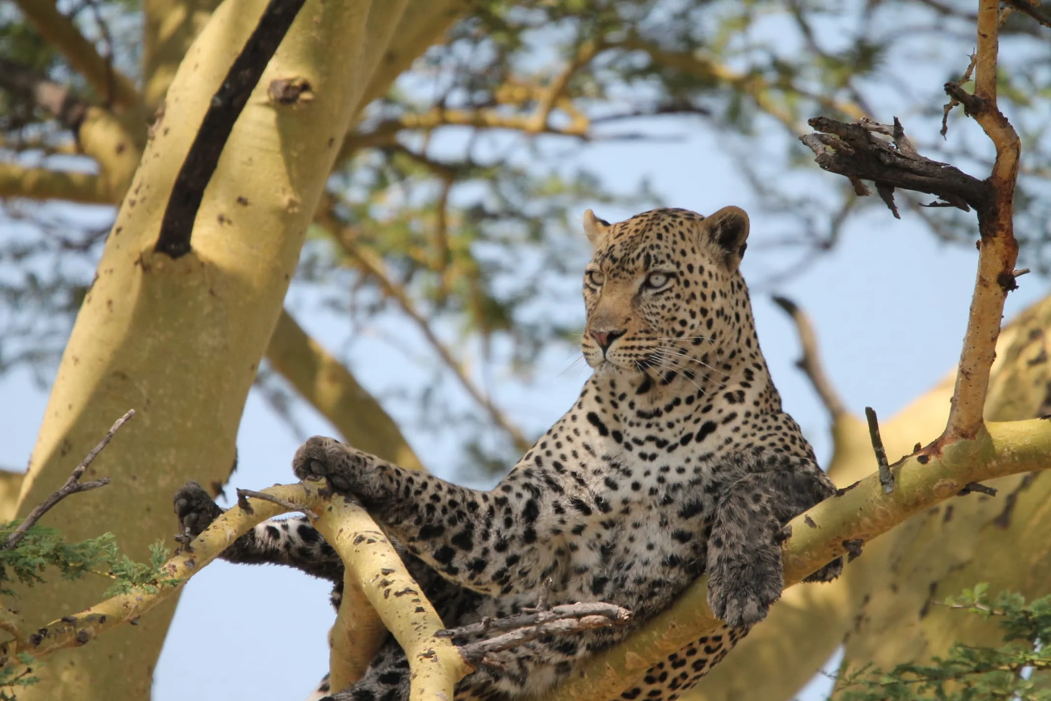
Serengeti National Park
Western Serengeti is one of the most distinctive regions of Serengeti National Park. Often called the Western Corridor, this area extends westwards from the central Serengeti towards Lake Victoria and is characterised by a combination of open grasslands, acacia woodland, floodplains, rolling landscapes and dense riverine vegetation. The Grumeti River is the defining feature of the region. Its permanent pools and shaded riverbanks provide important habitat for hippos, crocodiles, birds and other wildlife throughout the year. The Mbalageti River also contributes to the ecological diversity of the corridor by supporting water sources, woodland and seasonal wildlife movements. Western Serengeti is internationally recognised as one of the important stages of the Great Wildebeest Migration. Around May, June and July, migrating wildebeest and zebras may move through the corridor on their journey towards the northern Serengeti. Some herds attempt to cross sections of the Grumeti River, where deep pools and crocodiles create a challenging natural obstacle. However, Western Serengeti is much more than a migration destination. Resident wildlife remains in the region throughout the year. Visitors may encounter lions, elephants, buffaloes, giraffes, hippos, crocodiles, hyenas, antelopes and a wide variety of birds. The riverine forests also create a different visual experience from the open plains of Central Serengeti. Compared with the heavily visited Seronera region, parts of Western Serengeti can offer a more remote atmosphere and fewer safari vehicles. However, visitor numbers vary according to the season, accommodation location and the popularity of particular wildlife sightings. Western Serengeti can be included in a longer Tanzania safari itinerary alongside Central Serengeti, Northern Serengeti, Ngorongoro Crater and other Northern Circuit destinations. With TanzaLux Safaris, travellers can enjoy a personalised private safari designed around migration timing, wildlife interests, accommodation preferences and available travel time.
Serval Wildlife Sanctuary Tanzania
Serval Wildlife Sanctuary Tanzania is a distinctive wildlife and eco-tourism destination located in the Kilimanjaro area of northern Tanzania. It provides travelers with an opportunity to discover African wildlife in a peaceful, carefully managed environment while learning more about animal behavior, conservation, and the importance of protecting natural habitats. Unlike the traditional safari experience of searching for wildlife from a 4x4 vehicle in a national park, Serval Wildlife offers a more intimate and educational experience. Visitors may observe selected animals at close range, take photographs, and learn about the individual characteristics and behavior of the wildlife under the care of the sanctuary. Animal interactions are subject to the animals’ behavior, welfare requirements, and the sanctuary’s operating guidelines. The destination is especially suitable for families, couples, photographers, first-time visitors to Tanzania, and travelers who want to include a relaxed wildlife experience before or after a safari, Kilimanjaro adventure, or northern Tanzania itinerary. Serval Wildlife can be incorporated into a customized itinerary with TanzaLux Safaris, together with destinations such as Arusha National Park, Mount Kilimanjaro, Materuni Waterfalls, Chemka Hot Springs, Lake Duluti, Tarangire National Park, and other attractions in northern Tanzania. For travelers seeking a combination of nature, wildlife, photography, and conservation-focused tourism, Serval Wildlife offers a memorable alternative to a conventional national park visit.
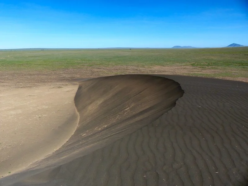
Shifting Sands
Shifting Sands is one of northern Tanzania’s most unusual geological sights: a solitary crescent-shaped dune of dark volcanic sand set against the open plains near Olduvai Gorge. Located within the Ngorongoro Conservation Area, it adds an unexpected chapter to a safari through the Olduvai and Serengeti landscapes. The attraction is the contrast between the dune’s sculpted form, its rippled surface and the wide horizon, together with the story of how volcanic material and prevailing winds created a landform that continues to migrate. This is a barchan dune, a type of crescent-shaped dune formed where sand is limited and winds blow predominantly from one direction. Wind carries grains up the more gently inclined windward surface. At the crest, grains settle and slip down the steeper sheltered face, gradually advancing the dune while it retains a recognisable overall shape. Its horns extend in the direction of movement. Changes in wind strength, moisture and the supply of loose material influence its shape and progress; a photograph captures one moment in a continuing natural process. The dark colour comes from volcanic material containing iron-rich minerals, including magnetite. The Ngorongoro Geopark associates the material with an ash layer originating from Ol Doinyo Lengai. Over time, wind removed lighter particles and concentrated heavier grains into the distinctive dark dune. Some grains respond to a magnet, which makes a guide-led demonstration particularly memorable if permitted. Magnetism is a property of the material; wind transport and sorting explain the dune’s formation and movement. Leave the sand and other natural material in place. Shifting Sands moves gradually westward across the plains. Historic measurements describe its progress over years, but its speed is not a fixed annual promise and its present location should be checked locally. You will not normally see the whole dune visibly travel during a short visit. What you can appreciate is the finely textured surface, the difference between its two slopes and the relationship between the crescent and the prevailing wind. Avoid relying on an old map pin or treating published height and width figures as permanent measurements. A visit is best arranged as a guided vehicle excursion from the Olduvai area, using a suitable safari vehicle and a driver who can confirm the current position, permitted approach and track conditions. The dune lies northwest of the Olduvai Museum, but visiting it is a separate excursion rather than something automatically included in a museum stop. Allow sufficient time for the drive, a geology explanation and photographs. A short site visit can fit into a wider safari day when access is practical, while the complete excursion takes longer because of the approach. Plan the timing around your route rather than a guaranteed transfer duration. The generally drier months from June to October often provide a practical window for travelling on the surrounding tracks. January and February can also suit an excursion between the wetter periods. Long rains commonly occur from March to May, while shorter rains may affect the region from October to December. Rain can make tracks muddy, reduce access and alter the appearance of the surrounding plains; weather varies from year to year. Dry conditions can bring dust, exposed heat and strong wind, so carry water, sun protection and a light wind layer. Protect cameras and lenses from blowing sand. This destination suits travellers interested in geology, photography and the broader story of the northern Tanzanian landscape. Children can enjoy discovering how dunes form, provided they remain closely supervised and follow the guide’s instructions. The sandy, uneven ground and remote approach may be difficult for visitors with limited mobility. Discuss the distance from the vehicle, available viewing positions and assistance before booking. Any extended walking activity in the conservation area requires advance arrangements, including the applicable ranger support; confirm what is required for the specific excursion. Do not wander independently across the plains. Pair Shifting Sands with the Olduvai Gorge and Museum to connect geological change with the region’s archaeological significance. Nasera Rock may also be considered as part of a carefully planned geological itinerary, subject to routing, access and time. Visits can complement a Ngorongoro and Serengeti safari, but a Ngorongoro Crater descent is a separate activity with its own arrangements. Wildlife may be encountered on the journey, yet Shifting Sands is primarily a geological stop and sightings are never guaranteed. Plan accommodation at authorised lodges or camps elsewhere along your safari route. Do not assume there are visitor facilities, toilets, refreshments or camping services at the dune itself. Confirm the last suitable comfort stop and any permitted picnic arrangements before leaving. Ask for a current quotation that identifies conservation-area access, the vehicle excursion, guide services and any walking or ranger requirements. Approach quietly, keep vehicles to permitted tracks, follow local instructions about where to stand, and preserve the dune for the visitors who come after you.
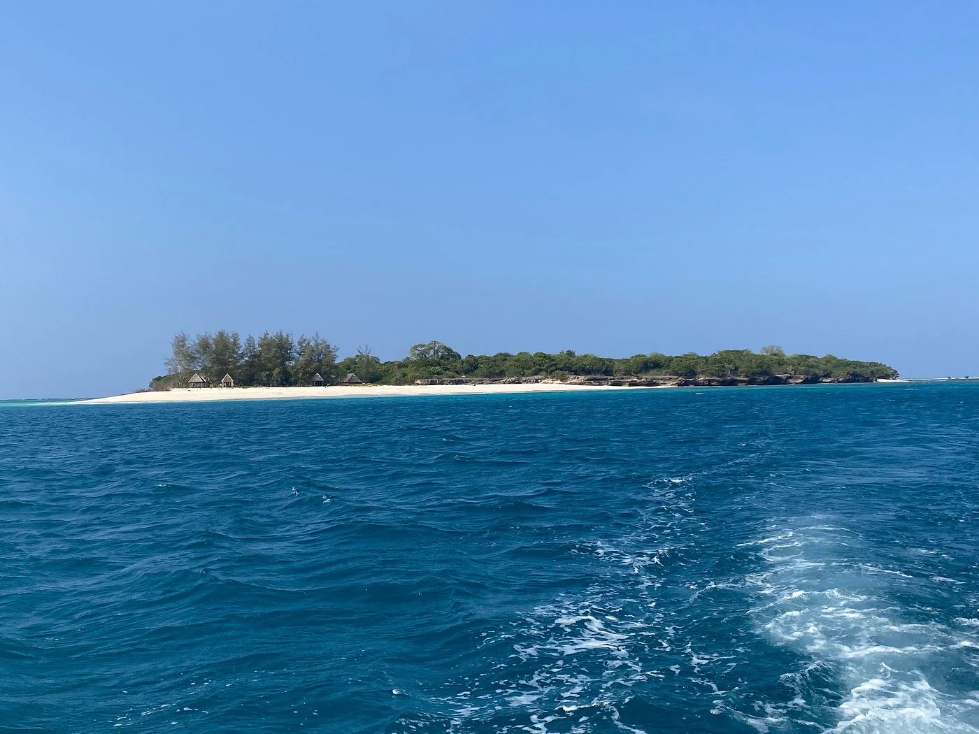
Sinda Island Marine Reserve
Sinda Island Marine Reserve offers an Indian Ocean escape off Kigamboni, on the southern side of Dar es Salaam. The reserve encompasses Inner and Outer Sinda, combining island vegetation, sandy shores, rocky coastline and surrounding marine habitats. It is part of the Dar es Salaam Marine Reserves system managed by the Marine Parks and Reserves Unit. A visit can suit travellers looking for a carefully arranged day on the water with time for island scenery, photography and relaxation. The two islands and their different shorelines make planning worthwhile. Inner Sinda has sandy beach areas, while exposed rocky sections and intertidal ground create a different experience elsewhere around the reserve. Your guide and skipper should choose the landing and route for the actual tide and sea state. Attractive water and an accessible stretch of sand do not mean that every shore is suitable for swimming, or that every landing is practical throughout the day. Let the local assessment shape the excursion. Marine habitats around the southern Dar es Salaam reserves include coral reefs and seagrass beds that support reef fish and other marine life. A guided snorkelling session may be included when an operator confirms a suitable site, conditions, equipment and supervision. Tell the organiser about swimming ability and experience before booking. Visibility changes, and particular animals should never be promised. Travellers who prefer to stay dry can focus on boat-based views, a permitted shore visit and a picnic arranged as part of the trip. Keep the island programme simple. A guided shoreline walk can reveal changing sand, rock and vegetation, with pauses for photographs and quiet observation. Use the route the guide approves and avoid disturbing birds or entering dense vegetation without guidance. A lunch stop can be a pleasant part of the day if the operator provides food, drinking water, shade and waste removal. Confirm these arrangements beforehand instead of assuming a restaurant, shop, shelter or equipment rental will be available when you arrive. A suggested day begins with a transfer from your Dar es Salaam or Kigamboni accommodation to a confirmed departure beach. Meet the boat team, check life jackets and discuss the route, landing and return plan. After the crossing, enjoy a guided orientation and the activities that conditions permit, allowing time for a prepared lunch and a relaxed shore break. Return at the time agreed with the skipper, with a margin for the onward road transfer. This is a flexible outline rather than a fixed timetable; tide, wind and operating arrangements determine the final sequence. For a two-day coastal break, use the first day for arrival, a mainland beach stay or a relaxed Dar es Salaam visit, and keep the second day for the pre-arranged Sinda excursion. Stay on the mainland unless an overnight island arrangement has been specifically confirmed with the relevant authority and organiser. Avoid scheduling an international flight immediately after a boat outing. A weather change can require a later return, an altered activity or a different day for the excursion. The exposed seaward sides of the islands can experience strong waves and tidal currents, especially around spring tides. Choose an operator with a suitable boat, passenger arrangements, correctly fitting life jackets and a clear weather decision. Follow the skipper’s instructions throughout the crossing and any landing. Swimming, snorkelling and kayaking should be offered only where the guide has assessed conditions and appropriate support is available. Guests can choose a shore-focused programme without taking part in water activities. Treat Sinda as a protected coastal environment. Enjoy wildlife at a distance, avoid standing on or touching coral, leave shells and natural objects in place, and carry all waste back to the mainland. Current reserve entry arrangements and activity permissions should be confirmed before departure. Ask for an itemised quote covering road transfers, boat transport, guiding, admission, equipment, meals and drinking water so the day’s inclusions are clear. Pack sun protection, a hat, a light rain layer, suitable footwear for boarding and shore walking, a towel and a waterproof bag. June to September is generally a drier period around Dar es Salaam, while March to May brings the main rains and October to December often has shorter rains. Sea conditions still require a daily check in every season. Build the visit around the experience you want and the conditions on the day, leaving time to enjoy the island setting at an easy pace.
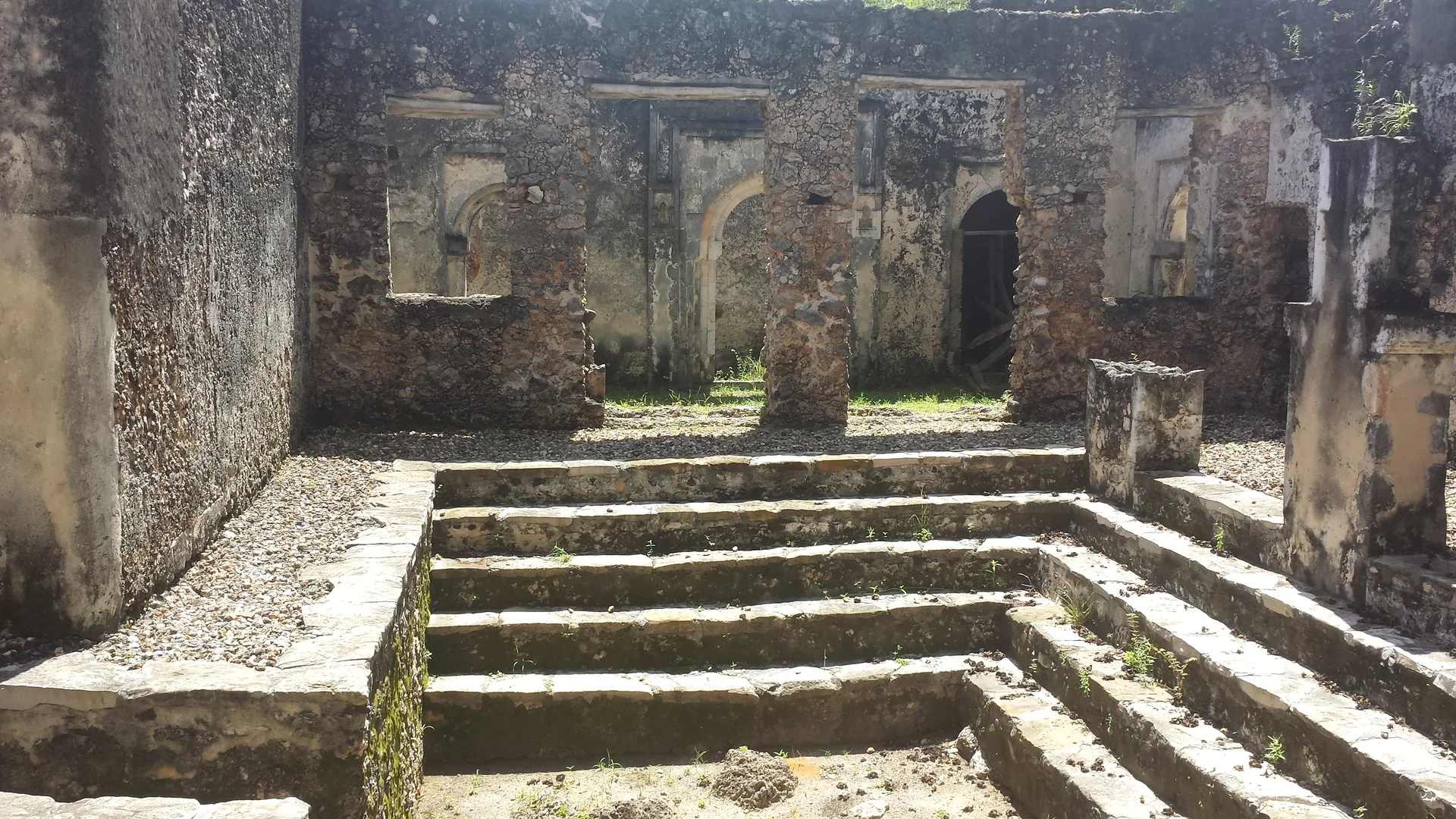
Songo Mnara
Songo Mnara is a ruined Swahili stone town on an island off Tanzania’s southern coast, visited by boat from Kilwa Masoko in Lindi Region. It rewards travellers who enjoy archaeology, architecture and a quiet, carefully paced exploration of coastal history. Together with Kilwa Kisiwani, Songo Mnara forms the UNESCO-listed Ruins of Kilwa Kisiwani and Ruins of Songo Mnara. The site preserves the layout of a historic settlement, with mosque remains, stone houses and open spaces showing how the town was organised. Coral-stone construction and surviving architectural details provide a window into Swahili life and the wider Indian Ocean trading world. A guided walk brings the town’s history to life through the Friday Mosque and the elaborate merchant residence commonly called the “Palace.” Allow time for photography, interpretation and a comfortable walking pace. The island setting adds a sense of discovery, with coastal scenery and natural habitats complementing the heritage experience. Songo Mnara is a separate destination from Kilwa Kisiwani. Arrange its boat transfer and site visit specifically with an experienced local organiser or the heritage management team. Kilwa Masoko is the practical mainland base for accommodation and departures. Confirm entry permissions, guiding, landing arrangements and the return crossing before setting out; tides, wind and weather affect the excursion. Expect uneven ground, fragile structures and limited facilities. Bring drinking water, comfortable walking shoes, a hat and sun protection, and discuss walking distances or mobility needs in advance. Follow your guide’s advice, keep off delicate walls, respect burial and religious areas, and take litter back to the mainland. A responsible visit helps protect an important part of Tanzania’s Swahili heritage.
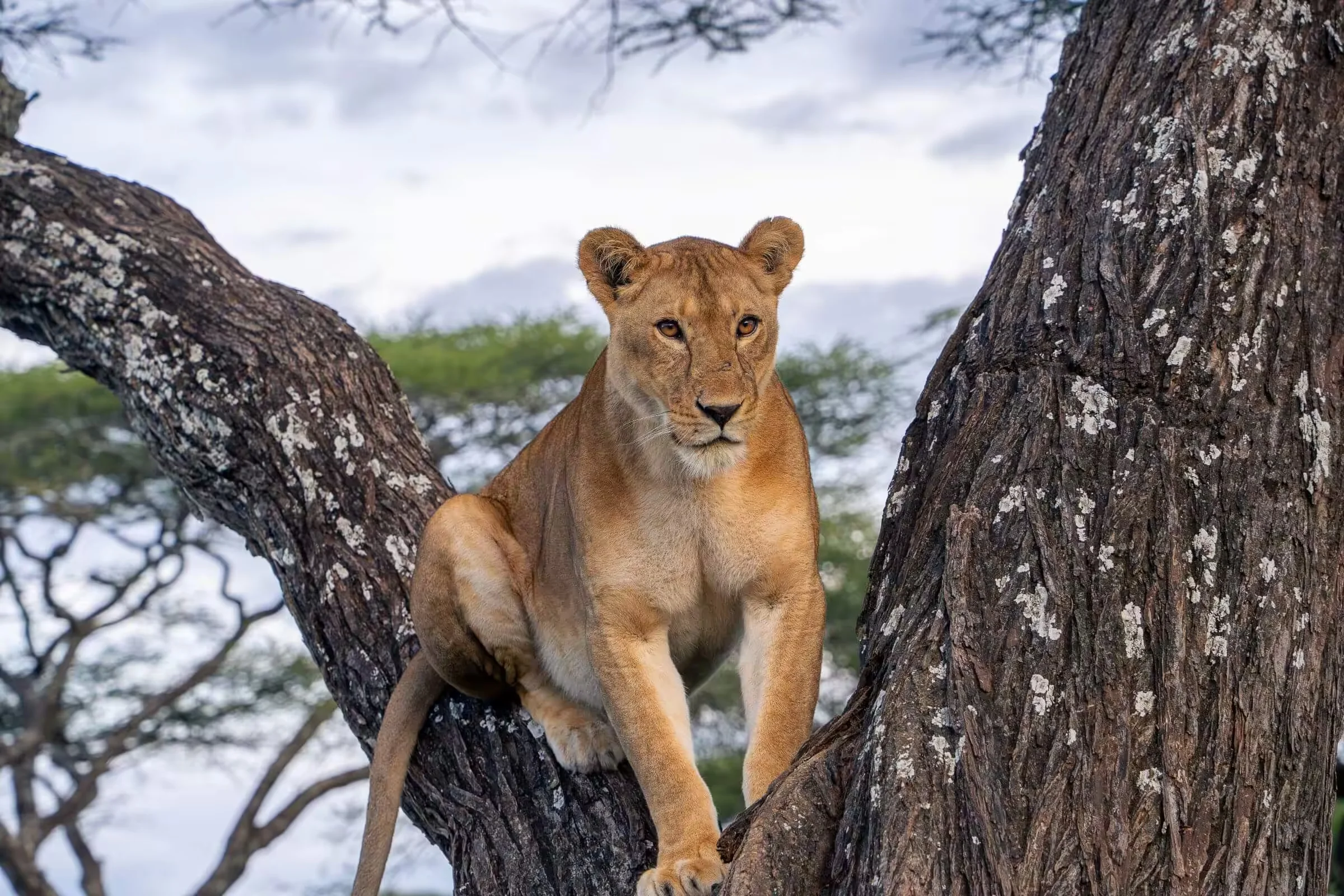
Southern Serengeti
South Serengeti is one of Tanzania’s most important wildlife regions and a key part of the annual Great Wildebeest Migration. Located between the southern Serengeti plains and the Ngorongoro Conservation Area, this region is especially famous for the Ndutu area, seasonal wildebeest calving, open grasslands, and excellent opportunities to observe predators in action. The landscape of South Serengeti is different from the rocky hills and riverine habitats of northern Serengeti. Much of the southern region consists of expansive short-grass plains, shallow depressions, seasonal lakes, scattered kopjes, and open savannah. These habitats provide nutritious grazing for wildebeest, zebras, gazelles, and other herbivores. From approximately December to March, large numbers of wildebeest may gather in the southern Serengeti and Ndutu region to give birth. The exact timing depends on rainfall, pasture conditions, and the movement of the herds. During this period, the abundance of young animals can attract lions, cheetahs, hyenas, jackals, and other predators. South Serengeti is also rewarding outside the calving season. Resident wildlife, wide landscapes, birdlife, and changing seasonal scenery make the region valuable for travellers who want to experience a quieter and more open side of the Serengeti. A South Serengeti safari can be combined with Central Serengeti, Ngorongoro Crater, Tarangire National Park, Lake Manyara, or other northern Tanzania destinations. TanzaLux Safaris can create a private or luxury safari itinerary based on your travel dates, wildlife interests, accommodation preferences, and budget.
Tanga Marine Park & Reserves
Explore the reefs, island scenery and coastal habitats of Tanzania’s northern Indian Ocean coast. Tanga Marine Park & Reserves brings together Tanga Coelacanth Marine Park and the separate Tanga Marine Reserves System, offering a varied coastal extension to a safari or Usambara Mountains journey. The marine park includes Tanga and Mwambani bays, Tongoni estuary and the islands of Toten, Yambe and Karange. Coral reefs, mangroves and seagrass beds support tropical marine life, while the deeper offshore habitat is important for coelacanth conservation. The marine reserves include Ulenge, Kwale, Kirui, Mwewe and Maziwe. Each has its own access arrangements; Maziwe is a tidal sandbank near Pangani, rather than a permanent island resort. Plan a guided boat excursion, snorkel suitable reefs, watch coastal birds or combine island scenery with Swahili coastal heritage. Scuba diving and other water activities depend on qualified operators, permits and conditions. Select the specific park or reserve before booking, and schedule excursions around tides, wind and weather.
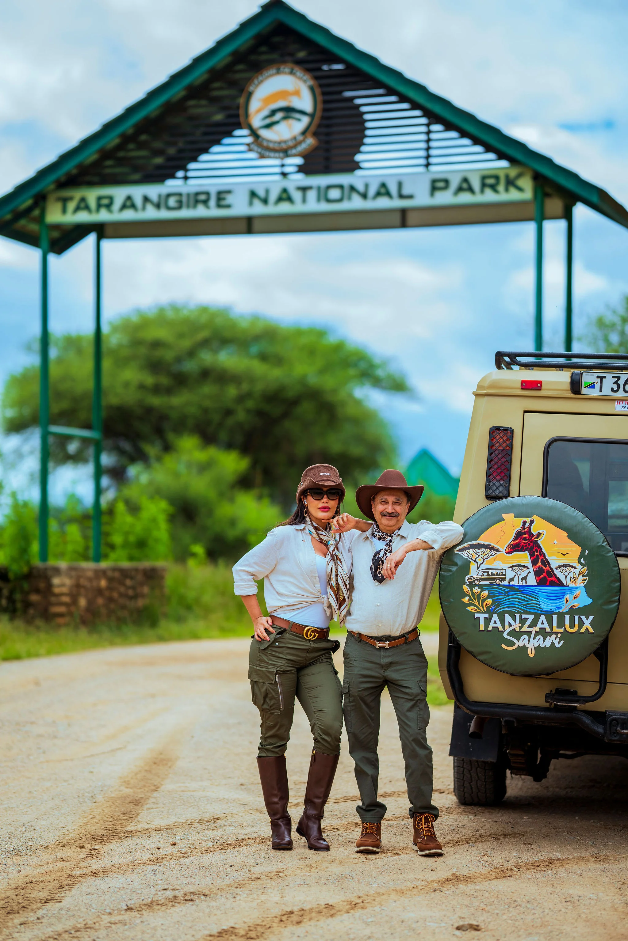
Tarangire National Park
Tarangire National Park is one of Tanzania’s most distinctive safari destinations, famous for its large elephant herds, ancient baobab trees, seasonal wildlife movements and the life-giving Tarangire River. Located in northern Tanzania, Tarangire offers a more intimate and peaceful safari experience while delivering some of the country’s most impressive wildlife encounters. Covering approximately 2,850 square kilometres, Tarangire is part of the wider Manyara-Tarangire ecosystem. The park’s landscape combines open savannah, acacia woodland, riverine forests, seasonal swamps, termite-mound plains and iconic baobab-studded hills. The Tarangire River is a vital source of water during the dry season, attracting large concentrations of elephants, buffaloes, zebras, wildebeest and other wildlife. Tarangire is particularly famous for its elephants. Large family herds can often be seen moving beneath baobabs, crossing open plains or gathering near water. Visitors may also encounter lions, leopards, cheetahs, hyenas, giraffes, zebras, wildebeest, buffaloes, warthogs, antelopes and many other species. The park is also an exceptional birding destination, with more than 500 species recorded, making it an excellent choice for wildlife photographers and bird enthusiasts. With TanzaLux Safaris, Tarangire can be explored as a private safari from Arusha or combined with Ngorongoro Crater, Serengeti, Lake Manyara and other Northern Tanzania destinations. Whether you want a luxury Tanzania safari, private camping adventure, family safari, honeymoon or photography-focused journey, we design your experience around your interests and travel style.
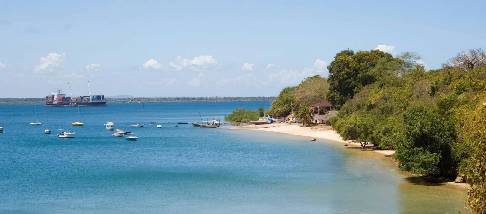
Toten Island
Toten Island offers an atmospheric boat excursion from Tanga, bringing together coastal scenery and the traces of earlier communities. Across Tanga Bay from the harbour, its wooded outline makes a quiet contrast to the working waterfront. Visit for a guided walk and time to look closely at the landscape: old masonry, broad tree trunks, shaded paths and glimpses of the sea. It is particularly rewarding for travellers interested in the northern Swahili coast and for photographers who enjoy combining nature with built heritage. Forest and shoreline Large baobabs are among the island's most distinctive features. Small beaches and paths connect the wooded interior with the shore and the remains of past settlements. Plan a leisurely exploration rather than a demanding hike, while allowing for roots, loose stones, uneven footing and overgrown sections. A guide can choose an appropriate route for the day's conditions. Binoculars and a camera are useful companions; allow time to pause quietly and observe any birds encountered without expecting a fixed species list. Layers of coastal history The remains include two mosques, graves and structures associated with the German colonial period. Toten's name is commonly translated as 'Island of the Dead', reflecting its cemetery history. Tourism accounts also describe a former quarantine station and archaeological finds linked to Indian Ocean trade. These traces give the walk a human dimension, although the precise history of individual structures still requires research. Ask your guide to distinguish documented information from local accounts. Approach graves respectfully and leave masonry, pottery fragments and other objects exactly where they are. A protected coastal setting Toten lies within Tanga Coelacanth Marine Park, whose wider landscape includes coastal forest, bays, mangroves, seagrass and coral habitats. The island combines a heritage visit with an introduction to the reasons this coast is protected. The park's name refers to the coelacanth, a deep-water fish; seeing one is not an ordinary island excursion experience. Wildlife encounters depend on location, season and conditions. Keep the focus on observing habitats and enjoying the shore without pursuing or disturbing animals. How to shape the excursion A suggested plan is to leave Tanga after a briefing, cross the bay with a local boat operator, explore the permitted paths with a guide and take a shaded rest before returning. Reserve around half a day as a flexible planning allowance, then confirm the actual timing with your operator. A mainland heritage walk or a separately arranged visit to Amboni Caves can complement the island, provided transfers and daylight allow. Keep the itinerary adaptable: the skipper's assessment of wind, tide, visibility and landing conditions takes priority over a fixed departure time. Water activities and comfort Swimming or snorkelling should be an optional addition only where your guide identifies a suitable, permitted location away from harbour traffic. Being near the coast does not mean every beach is appropriate for entering the water. Discuss ability, supervision and equipment before booking. Choose a properly equipped boat with correctly fitting life jackets, bring drinking water and sun protection, and keep a dry bag for valuables. Wear footwear with grip for the walk and carry insect repellent and a light rain layer. Arrange refreshments in advance rather than depending on an island shop or restaurant. Planning a responsible visit Use Tanga as your accommodation base and confirm departure point, boat type, guide, current permissions, conservation charges and return arrangements before travelling. Ask for an itemised quotation, including any optional activity or meal. A small guided group leaves more room for interpretation and careful movement around fragile remains. Avoid climbing walls or tombs, removing shells or artifacts, feeding wildlife or leaving litter. Ask before photographing people at mainland landing areas. Guests needing step-free access should discuss boarding, beach landings and the proposed walking route before committing.
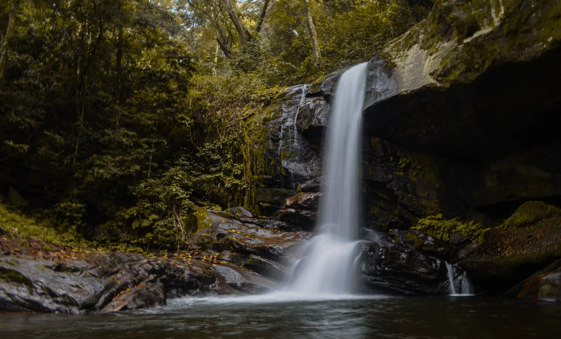
Udzungwa Mountains National Park
Udzungwa Mountains National Park: Rainforest, Waterfalls and Walking Adventures Udzungwa brings a different rhythm to a Tanzania safari. Here, the journey unfolds at walking pace: a monkey moves through the canopy, water echoes through a shaded gorge, and an uphill trail opens onto the wide Kilombero Valley. For travelers who enjoy being active outdoors, the park offers a rewarding combination of forest scenery, waterfall hikes, birdwatching and exceptional biodiversity. The protected area covers approximately 1,990 square kilometres and was established in 1992. It belongs to the Eastern Arc Mountains, an ancient chain celebrated for distinctive forest habitats and species with restricted ranges. Udzungwa is particularly appealing when paired with Mikumi: open-country wildlife viewing and a forest walk give the same journey two very different experiences. Location and the Main Visitor Gateway The park extends across Morogoro and Iringa Regions. Most first-time visitors use the eastern side around Mang’ula, close to the Kilombero Valley. This gateway is reached through the Mikumi–Kidatu–Mang’ula corridor. The park itself is extensive, and an itinerary based at Mang’ula does not mean that every remote mountain or forest block can be visited on a single excursion. Choose accommodation and transfers around the trail you actually want to walk. The name of a lodge or a broad regional map can conceal a substantial transfer to the starting point. A good plan identifies the correct entrance, registration arrangements, guide, walking route and return transport before departure. Why the Forest Is Special Udzungwa protects a remarkable transition from lower woodland and forest to mountain vegetation. Bamboo, moist forest, streams and higher slopes form a varied landscape rather than one uniform stretch of rainforest. Elevation, shade and exposure change the atmosphere as you walk, and even a modest excursion can reveal differences in leaves, bird calls and the feel of the air. Its conservation value reaches beyond attractive scenery. Forest cover protects water catchments, while connected habitats support species that depend on a limited part of the Eastern Arc. Visiting with care means valuing the entire environment: the understory, fallen wood, stream edges and small organisms are part of the experience, not background to a waterfall photograph. Sanje Waterfalls: The Signature Hike Sanje is the park’s best-known walking attraction. Its cascades descend through forest, with the major drop commonly described as about 170 metres. The visit can include different viewpoints and waterfall levels according to the route selected and the day’s conditions. The image featured here shows the middle waterfall; it should not be confused with a photograph of the tallest drop. Allow a substantial part of the day for the excursion, even when the walking route is described as a half-day hike. Registration, transfers, uphill sections, water breaks, nature observation and a relaxed return all take time. Ask whether the planned walk includes the lower viewpoint, upper cascades or a longer circuit, because these choices affect both effort and duration. The route deserves proper walking preparation. A short distance on a map can still mean sustained climbing, uneven steps, roots and damp ground. Walk at a steady pace, keep enough time for the descent and tell the guide when you need a break. Reaching a viewpoint comfortably is more enjoyable than rushing to fit too many activities into the same day. Short Walks and Longer Treks Udzungwa offers more than Sanje. Shorter forest outings, including the Sonjo area, can suit visitors who want nature observation without committing to a long waterfall climb. Longer routes associated with Mwanihana and Lumemo appeal to experienced walkers seeking a deeper forest journey. Their availability, condition and logistical requirements must be confirmed with park staff before they become part of an itinerary. Treat a multi-day trek as a separate expedition. It requires an agreed route, approved camping, appropriate support, food and water planning, equipment and realistic daily stages. A summit name or an old trail map is not evidence that a route is currently open. The safest and most rewarding choice is the route that matches current park guidance, the group’s ability and the weather. Primates and Wildlife Expectations The Udzungwa red colobus, also known as the Iringa red colobus, and the Sanje mangabey are flagship primates of the Udzungwa landscape. Blue monkeys and vervet monkeys also occur in the park. Their presence makes forest walking especially interesting, but no particular species can be guaranteed on a chosen trail or at a scheduled time. A worthwhile wildlife walk leaves room to listen and wait. Look into the canopy as well as along the path, and let the guide identify movement before approaching. Keep quiet around animals, allow them space and never offer food. A sighting is most memorable when you can watch natural behavior without changing it. Larger mammals occur in different parts of this extensive protected area, but a normal Sanje visit should be planned around forest biodiversity. Travelers hoping for regular elephant, lion or other savanna wildlife encounters should include a suitable game-viewing park elsewhere in their safari. Udzungwa adds another dimension to that experience through walking, primates and forest habitats. Birdwatching and Small Discoveries More than 400 bird species have been recorded in the park. Forest specialists, greenbuls, sunbirds and raptors contribute to its appeal for birdwatchers. A park-wide species list reflects many habitats and years of observation; it is not a prediction of what a visitor will see on one morning’s walk. For a dedicated birding visit, explain your interests when booking and allow time for patient observation. Binoculars are useful even when the main purpose of the trip is hiking. A waterfall walk becomes richer when you also notice butterflies, forest plants, amphibians and small movements in the understory. Avoid handling animals or disturbing vegetation to improve a photograph. Best Time to Visit June to October generally provides the easiest hiking conditions. Wetter months bring greener vegetation and may produce stronger waterfall flows, while increasing the chance of mud, slippery surfaces and changes to the planned route. Forest weather can vary quickly, and rain protection remains useful throughout the year. Choose the season around your priorities. If comfortable footing matters most, favor the drier period. If you prefer lush scenery and are happy with a flexible schedule, a wetter-season visit may suit you. Do not build an itinerary around guaranteed clear skies or a particular water level: leave room for the guide to adapt the day to conditions. How Long to Stay One full day at the park can provide a satisfying introduction, particularly for a Sanje excursion with comfortable transfers. Staying two or three nights near Mang’ula creates a more relaxed visit, with time for an additional walk, focused birding and recovery after travel. Longer trekking requires extra days beyond an ordinary waterfall stay. For a simple visit, arrive the previous afternoon, settle in and prepare your equipment. Walk after breakfast the next day, carry lunch if required and return with time to rest. With an additional day, choose a shorter nature outing or another confirmed route rather than automatically adding a second strenuous climb. These are planning suggestions, and the final schedule should reflect your pace. Getting There and Combining Destinations Dar es Salaam is the main international gateway for many southern Tanzania journeys. Road access commonly runs through Morogoro and Mikumi before continuing toward Kidatu and Mang’ula. Build generous time into the transfer and confirm conditions close to departure. City traffic, stops, roadworks and the exact accommodation location can change the journey substantially. A road journey from Dar es Salaam deserves a travel day; a rushed return excursion with a major hike gives little margin. Mikumi is the most practical nearby safari combination. Ruaha or Nyerere can be added to a longer southern itinerary after checking the distances and current transfer options. Air arrangements should be based on confirmed services and a realistic road connection to the park, rather than assumed direct flights. Accommodation, Camping and Budgeting Mang’ula and the surrounding gateway area offer places to stay outside the park. Confirm the room facilities, meal arrangements, packed lunch, transport to the trailhead and any equipment you expect to hire. An early breakfast and reliable transfer are often more useful for a hiking trip than a long list of hotel amenities. Camping is possible through approved park arrangements. Remote or special campsites require advance planning, and facilities should be checked rather than assumed. Ask for an itemized trip quotation covering entry, guide or ranger services, any trekking and camping charges, transport, meals and accommodation. Applicable fees depend on visitor category and the chosen activities, so use the current quotation for your budget. Fitness, Families and Accessibility A comfortable Sanje visit requires enough fitness for uphill walking and a controlled descent over uneven ground. Explain any mobility limitations when planning the trip so that the route can be assessed realistically. Forest paths and waterfall approaches should not be assumed to offer step-free or wheelchair access. Families can enjoy the park when walking expectations match the children’s stamina and confidence. Choose an achievable route, make frequent breaks and keep children close on slippery sections and near water. A shorter, relaxed nature walk can be more rewarding than completing a challenging route under pressure. The guide should help choose the experience around the group’s needs. What to Bring and How to Visit Responsibly Wear walking shoes with good grip and bring water, snacks or a packed lunch, a light rain layer, sun protection, insect repellent and a small daypack. Binoculars and a camera are useful additions; protect electronics from spray and rain. For longer walks, agree water quantities, equipment and carrying arrangements with the guide beforehand. Stay on authorized trails and follow guide and ranger instructions. Leave plants, rocks and animals where you find them, take all litter out and avoid loud music. Swimming should only be considered in an officially permitted place when the guide confirms conditions are safe; the existence of a pool is not permission to enter it. Water flow and footing can change after rain. Plan Your Udzungwa Visit with TanzaLux Safaris Start with the experience you want: a memorable waterfall hike, a gentle forest introduction, focused birdwatching or an extended trek. Share your travel dates, available time and walking ability so that accommodation, transfers and the right route can be arranged together. Udzungwa rewards a thoughtful schedule that leaves time to observe, pause and enjoy the forest.
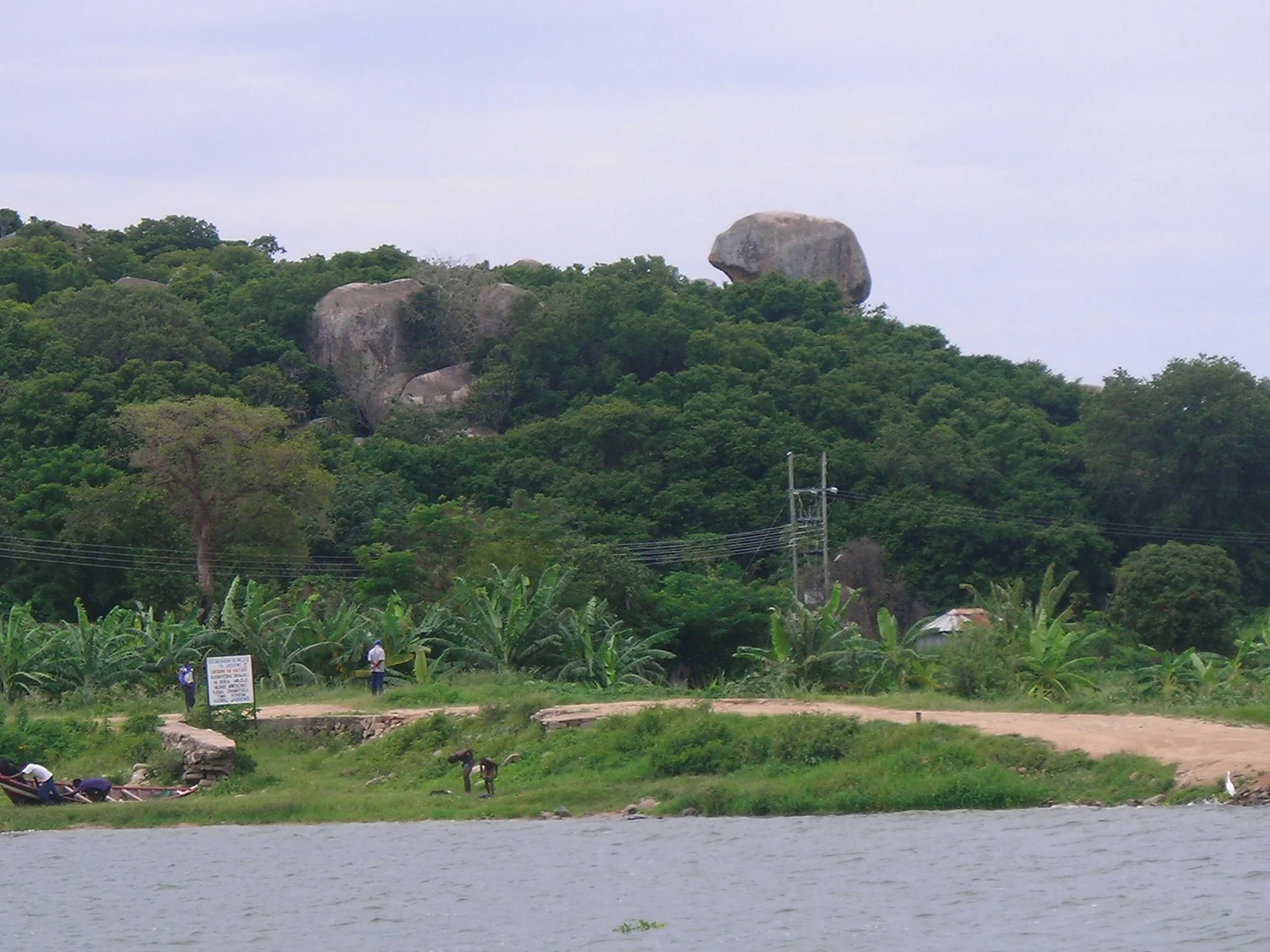
Ukerewe Island
Ukerewe Island offers a Lake Victoria journey shaped by village life, fishing traditions and the history of Tanzania’s lake region. Situated north of Mwanza in Mwanza Region, it is the largest island in Lake Victoria. Nansio is the main town and a practical starting point for exploring cultivated countryside, rocky hills, wooded areas and the bays that define the island’s shoreline. A stay here suits travellers who enjoy meeting local hosts, exploring on foot or by bicycle and taking time to understand a place through everyday encounters. Fishing, farming and trade are central to island livelihoods. With a local guide, visitors can learn about the work around landing sites, walk through village lanes or arrange an introduction to farmers and food traditions. Cassava, maize, sweet potatoes and other crops form part of the rural landscape, while fish from the lake connects island communities with markets across the region. Visits should be hosted and agreed in advance, with permission requested before photographing people or entering homes and working spaces. Ukerewe’s heritage gives these journeys further depth. Bukindo is associated with the former chiefs’ palace and royal objects, including drums once used to communicate. Kagunguli’s historic church, school and dispensary provide another perspective on the island’s past. Guides can also introduce the literary legacy of Aniceti Kitereza and the stories attached to historic sites. These are living places with owners, worshippers and custodians; access, interpretation and any local fees should be arranged respectfully rather than assumed. Landscape outings provide a balance to cultural visits. Rutare Hill is known for views across the island, and Rubya offers a forest-and-lakeshore excursion when access is confirmed. Cycling routes can connect villages and viewpoints at a manageable pace, with walking or a vehicle arranged to match each traveller’s interests and ability. Shoreline birdwatching and photography add to the experience, while boat outings require suitable vessels, local knowledge and favourable lake conditions. Wildlife sightings are incidental to this inhabited island visit; birdlife and the lake environment are the main nature interests. The neighbouring island of Ukara can be considered as a separate extension. Its Dancing Stone is associated with Kara cultural traditions and should be interpreted through local custodians as a traditional story. Extra crossings and return connections need careful planning, so an overnight stay may be necessary. Ukara should not be treated as a stop that automatically fits into a short Ukerewe day trip. We suggest two or three nights on Ukerewe for a relaxed introduction to Nansio, selected heritage sites and the countryside. Accommodation includes local hotels and guesthouses, with hosted village stays possible by prior arrangement. June to September generally offers easier conditions for outdoor exploration; wetter periods may affect paths and lake travel. Coordinate accommodation, guiding and ferry journeys together, leaving enough flexibility for changing schedules. Ukerewe can complement time in Mwanza or a wider safari itinerary with a thoughtful look at Tanzania’s Lake Victoria communities.
Ulenge Island Marine Reserve
Ulenge Island Marine Reserve combines coastal birdlife, mangroves, reef habitats and island heritage near Tanga. Set in the Pemba Channel by the Tanga Bay and Kwale Bay area, it belongs to the Tanga Marine Reserves system. The reserve is suited to a locally guided excursion built around nature observation and an interest in the Swahili coast. Plan the visit from a mainland base, allowing the guide and boat team to adapt the programme to access, tides and sea conditions. Ulenge is often described as Bird Island because of its importance to coastal and seabirds. Reported birds include crab plover, greater sand plover, curlew sandpiper and other migratory waders. A patient visit with binoculars can be more rewarding than a hurried landing: feeding areas, shoreline exposure and the birds present change through the day and across seasons. Ask a knowledgeable guide about the best observation position, keep well away from roosts or nests and avoid using noise or food to attract wildlife. Mangroves and the surrounding marine environment give the island a wider ecological context. The Tanga reserve network protects connected coastal habitats, including coral reefs and seagrass areas, as well as places important to neighbouring communities. A guided outing can introduce how tides shape the shoreline and how these habitats fit together. Observe plants and marine life without collecting or damaging them, use approved access routes and follow any local restrictions on landing or movement ashore. Ulenge also has a heritage story. Tourism descriptions record earlier Swahili settlement connections, later movement to the mainland and remains associated with the German colonial period. The island’s lighthouse appears in historical photographs and provides another way to discuss navigation and the changing coast. Current building condition, access and interpretation should be checked locally. An interest in the lighthouse or ruins does not include permission to enter structures, climb a tower or explore unstable remains without authorisation. Snorkelling or diving may be considered as a separately confirmed part of an excursion. Ask an appropriate operator about the site, visibility, current, equipment, supervision and required experience. A reef setting alone does not establish that a particular location is suitable for a beginner or that a boat can provide a diving programme. Guests who prefer to remain dry can focus on coastal views, photography, birdwatching and any permitted heritage stop agreed in advance. A suggested two-day stay begins with arrival in Tanga and a relaxed mainland orientation, leaving time to meet the organiser and confirm the island plan. Use the second day for a pre-arranged Ulenge excursion if conditions and access permit. After a briefing and boat transfer, the guide can sequence observation from the boat, an approved landing and any booked water activity around the tide. Return with a margin for the mainland transfer. This is an illustrative outline rather than a fixed departure schedule or a promise of every activity. Allow additional days if you want a separate Pangani or Maziwe extension. Each destination has its own travel and excursion arrangements, so a regional coastal holiday should be planned by actual departure points and accommodation locations. Tanga Airport is a regional gateway to consider after confirming current flights and road transfers. Travellers arriving through Dar es Salaam need a separately planned onward journey. Ask the organiser for a realistic estimate for your specific route instead of relying on a single published driving or crossing time. Choose mainland accommodation according to the programme and confirmed facilities. Before booking the island day, agree the departure beach or jetty, skipper, passenger arrangements, suitable life jackets, reserve admission, guiding and return plan. Clarify whether meals, drinking water, shade, toilets or changing arrangements are provided. Ulenge is seasonally used by people, and services should not be inferred from that description; plan a self-contained outing unless particular facilities are confirmed. June to September is generally a drier period on the northern coast, with the main rains usually occurring from March to May and shorter rains often from October to December. Boat conditions still need to be assessed on the day. Pack sun protection, a light rain layer, binoculars, a waterproof bag and footwear suitable for boarding and the approved walking route. Ask before photographing people or community activities. Keep wildlife undisturbed, leave natural and historic objects in place and take all waste back to the mainland.
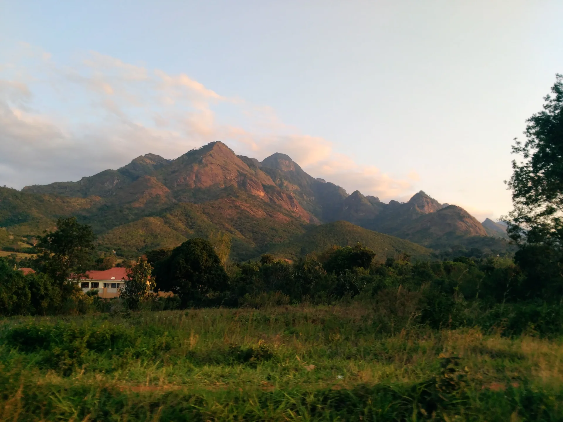
Uluguru Mountains
Rising above Morogoro, the Uluguru Mountains offer forest walks, sweeping viewpoints and encounters with Luguru culture. This mountain range forms part of the Eastern Arc Mountains, with its highest ridges reaching around 2,630 metres. Forested slopes, cultivated hillsides and mountain villages make it a rewarding addition to a journey through eastern Tanzania. The protected forest core is celebrated for biodiversity, including the endemic Uluguru bushshrike and Loveridge's sunbird. Choose a guided route suited to your interests and fitness: visit the Morningside area, plan a more demanding hike towards Bondwa or Lupanga, or arrange an excursion to Choma Waterfalls. Longer itineraries can explore other parts of the range, including the Lukwangule plateau, subject to local arrangements. Guided cultural visits introduce village life and farming traditions, while forest walks reveal the importance of these mountains as a water catchment. Morogoro makes a practical base, with accommodation in town and camping possible by arrangement. Bring sturdy footwear, drinking water, rain protection and a warm layer; confirm permits, guide availability and route conditions before departure.
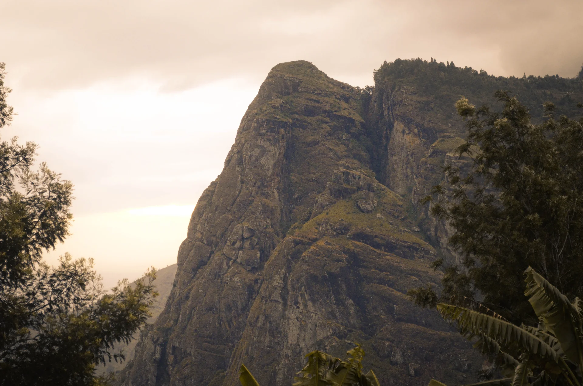
Usambara Mountains
Usambara Mountains: Forest Walks, Highland Villages and Wide Valley Views The Usambara Mountains invite travelers to explore Tanzania at walking pace. A village path passes cultivated slopes, a forest trail disappears into shade, and an escarpment viewpoint opens onto the plains far below. This is a destination for hiking, birdwatching, landscape photography and time with local communities, with enough variety for a short highland escape or a longer walking journey. Located in northeastern Tanzania’s Tanga Region, the Usambaras form part of the Eastern Arc Mountains. The area includes two distinct mountain blocks: the West Usambaras around Lushoto and the East Usambaras around Amani. Choosing between them is the first useful step in planning a visit, because their bases, forest experiences and access routes differ. Understanding the Destination Usambara Mountains is the name of a wider geographic region, rather than a single national park with one gate or one admission ticket. Towns, villages, farms, privately managed places and protected forest reserves share the landscape. Magamba and Amani Nature Forest Reserves are important visitor destinations within this broader mountain setting. Plan around named places and agreed routes instead of booking a general “Usambara tour” without knowing what it includes. A viewpoint outing, a forest birding walk and a trek between villages have different transport needs and levels of effort. Clear arrangements make it easier to enjoy the mountains without spending much of the day retracing roads or waiting for transfers. West Usambara: Lushoto as a Base Lushoto is the main visitor base for the western mountains. Set within a cultivated highland landscape, it provides access to walking routes, forest outings and nearby viewpoints. Its location makes it a practical place to stay while exploring different parts of the West Usambaras on separate day excursions. A Lushoto stay works well for travelers who want flexibility. One day can focus on a viewpoint and village paths, while another can be reserved for a guided forest walk. Choose accommodation with the actual starting points in mind: an attractive hillside location may involve a different transfer from a property in town. Confirm meals, early starts and the arrangements for returning after a hike. Irente Viewpoint and the Escarpment Irente is among the best-known viewpoints near Lushoto. The appeal is the contrast between the highland edge and the open country below, with cliffs, farmland and distant ridges contributing to the scene. Its setting makes it a memorable introduction to the western mountains and a rewarding stop for landscape photography. Visibility depends on weather. A clear morning or afternoon can provide broad views, while mist and cloud may create a more atmospheric experience with a shorter horizon. Stay on established approaches and follow local advice at the viewpoint. The escarpment has steep drops, so a photograph should never require moving close to an exposed edge. Magamba Nature Forest Reserve Magamba protects forest in the West Usambara Mountains within Lushoto and Korogwe Districts. It offers a different experience from the cultivated slopes and open viewpoints, with walking, birdwatching, nature observation and educational outings among its visitor activities. The reserve’s attractions include scenic points, historical features, waterfalls and distinctive smaller wildlife. The reserve is reached from the Lushoto area, but the precise entrance and trail should be agreed beforehand. Explain whether you want a gentle forest introduction, a longer hike or a focused natural-history outing. The most useful guide is one who can match the walk to your interests and current conditions, rather than simply aim to cover the greatest distance. Mambo and Longer Village Walks The Mambo area offers another way to explore the western highlands and their viewpoints. Longer walking journeys can combine several villages, cultivated hillsides and forest sections, with different accommodation or a supported return transfer. These outings are best planned as deliberate routes, with realistic daily stages and confirmed overnight arrangements. A multi-day itinerary should identify where each day begins and ends, the walking time, ascent and descent, luggage transport and meal arrangements. Do not judge effort solely by distance: repeated hills, muddy sections and time spent enjoying the surroundings can make a modest-looking route a full day. Leave room for rest and local encounters rather than turning the journey into a race. East Usambara: Amani and Forest Exploration The eastern mountains are approached through the Muheza area and are especially rewarding for travelers interested in forest habitats. Amani Nature Forest Reserve is a key base for guided walks, birdwatching, botanical interest and nature photography. The eastern block is closer to the Indian Ocean and is generally wetter, so rain preparation is useful even during a drier-season visit. Amani’s appeal comes from observation: leaves and forest structure, butterflies, birds, streams and the changing light beneath the canopy. Its historic botanical garden adds another dimension to the experience. An itinerary can focus on walking and natural history, with separately arranged tea, spice-farm or community activities where access and hosts are confirmed. Allow a dedicated stay for Amani if you want to enjoy it fully. Adding the eastern forests to a Lushoto trip involves a transfer between different bases; they should not be treated as neighboring sights that can always be fitted into one short excursion. For keen naturalists, a slower visit to one block may be more rewarding than briefly sampling both. Birdwatching and Forest Biodiversity The Usambara forests have exceptional conservation importance, with species restricted to the mountains or the wider Eastern Arc. Forest birds, chameleons, butterflies, moths, amphibians and small mammals make the region interesting beyond its views. Different forests and elevations support different communities of plants and animals, so sightings on one route do not describe the whole range. Birdwatchers should discuss their priorities in advance and allow time for patient listening and observation. A knowledgeable forest guide can help interpret calls and movement in dense vegetation. Bring binoculars and accept that a quiet walk may still be valuable: some of the most interesting species are difficult to see, and no specialist bird should be guaranteed. Chameleons and Smaller Wildlife Magamba is associated with two-horned chameleons, while Amani’s nature attractions include three-horned chameleons. Finding one is a possibility, not a promise attached to every walk. Look carefully with the guide and let animals remain where they are, without handling them or changing their position for a photograph. Butterflies, moths and forest frogs add interest to a slower nature outing. Avoid collecting specimens, damaging vegetation or entering sensitive habitat to obtain a closer view. The forest’s value lies in the living community it protects; a respectful visit can be memorable even when its discoveries are small and easily overlooked. Local Culture and Cultivated Landscapes The West Usambaras are closely associated with Sambaa communities, and farming is a visible part of daily life around Lushoto. Walking through the highlands can reveal cultivated slopes, village paths, markets and the relationship between settlements and forests. Cultural experiences are best arranged through willing local hosts, with the guide explaining what is appropriate. Ask before photographing people or entering private land. A market visit, local meal or farm experience can add depth when it is welcomed and given enough time. Confirm any tasting, workshop or demonstration in advance rather than assume it will happen spontaneously. Keep the focus on conversation and mutual respect. Best Time to Visit June to October generally offers a useful drier window for walking, although forest rain and mist remain possible. January and February can also provide a shorter relatively dry period. Rainfall commonly increases around March to May and again around November and December; conditions differ between the wetter eastern forests and various western slopes. Choose the season around your priorities. More predictable footing favors a drier-period visit, while lush scenery can be attractive during wetter months if the itinerary remains flexible. Carry a light rain layer in every season, and check the chosen route close to departure. A broad seasonal recommendation cannot guarantee a clear viewpoint or a dry trail on a specific day. How Long to Stay Two or three nights around Lushoto allow time for a viewpoint outing and a forest walk without rushing every transfer. An additional stay around Amani is worthwhile for visitors who want to explore both mountain blocks. Multi-day trekking or dedicated birding can justify a longer trip with a route designed around specific interests. For a simple western visit, arrive and settle in on the first day, choose a viewpoint and village walk on the next, then use another day for Magamba or a different confirmed route. For an extended journey, add the transfer to Amani and a separate forest program. These are planning examples; the final pace should reflect your fitness, accommodation and travel time. Getting There and Combining Destinations Lushoto is normally reached by turning uphill from Mombo on the main Dar es Salaam–Moshi–Arusha road corridor. For Amani, use the approach through Muheza. Travelers from Dar es Salaam, Moshi, Arusha or Tanga should confirm the route for the intended base, since an estimate to “Usambara” may refer to very different endpoints. Allow generous time for winding mountain roads, stops, weather and the final lodge access. International arrivals can use Dar es Salaam or Kilimanjaro according to the wider itinerary, with a road transfer to the mountains. Tanga may be useful for some eastern itineraries if current flights and onward transport are confirmed. Do not assume an airport in Lushoto or a scheduled flight into the forest reserves. The mountains combine well with Mkomazi or the Pare Mountains on a northeastern journey, and with Tanga or Pangani for a highland-and-coast itinerary. Saadani and Zanzibar can be added with enough transfer time and separately confirmed connections. Choose the combination that fits the available days rather than trying to include every nearby name on a map. Accommodation, Fees and Practical Preparation Lushoto and its surroundings offer hotels, lodges and guest accommodation. Forest stays and approved camping may also be arranged, depending on the reserve and current availability. Confirm facilities, meal times, hot water where important, electricity arrangements, guide services and transport to walking routes before booking. There is no single admission fee for the entire Usambara region. A quotation should identify reserve entry, local site charges where applicable, guiding, meals, accommodation and transfers. Longer treks also need luggage and overnight arrangements. Use a current itemized quotation instead of treating an old reserve tariff as the price of the whole trip. Pack walking shoes with grip, water, snacks, a rain layer and a warm layer for cooler highland evenings. Sun protection, insect repellent, binoculars and a protected camera are useful additions. Discuss any mobility limitations before choosing a route: steep paths, roots, muddy ground and viewpoint approaches should not be assumed to provide step-free access. Plan Your Usambara Journey with TanzaLux Safaris Start with the experience you want most: accessible viewpoints, relaxed village walks, protected forest, birdwatching or a supported trek. Share your dates, available nights and walking ability so that the right base, guide and transport can be arranged together. A thoughtful schedule leaves time to pause and discover what makes the mountains special. Stay on permitted paths, take all litter out, leave plants and wildlife undisturbed and respect local hosts. Responsible visits help make forest conservation and community participation part of the travel experience. TanzaLux Safaris can build the Usambaras into a private highland journey or a wider safari and coastal itinerary.

Yambe Island
Yambe Island brings together coastal woodland, mangroves, reef scenery and traces of Swahili coast history near Tanga. Situated by the southeastern side of Tanga Bay, opposite the Ras Nyamakuu peninsula, it forms part of Tanga Coelacanth Marine Park. A carefully arranged visit can suit travellers interested in a quiet island outing with nature observation, photography and heritage interpretation. Plan it from a mainland base with a knowledgeable guide and transport organised for the actual day. The island’s forested appearance is part of its character. Coral-rag coastal forest and mangroves connect the land with the surrounding marine environment. A guide can help explain how rocky ground, vegetation, tides and coastal waters shape the places you see. Take time for observation instead of trying to cover the whole island. Approved access routes, the condition of any paths and the tide should determine where the group can move, with suitable footwear and a pace matched to the terrain. Yambe is particularly interesting for its historic remains. Tourism descriptions and a WWF coastal guide record old tombs, including decorative herringbone stonework, while the tourism account also describes a walled grave and pillar tomb. These details offer an opportunity to learn about coastal architecture and the island’s earlier use. Their precise dates and present condition should be explained carefully by an informed guide rather than assumed from a general description. A visit is about observation and context: leave stones, fragments and other material exactly where they are. Treat the heritage landscape respectfully. Tombs and graves can retain cultural or religious significance, and the surrounding forest may obscure or limit access. Confirm permission and the appropriate conduct before approaching particular remains, and ask about photography. Do not climb walls, enter unstable structures or clear vegetation to create a better view. A public description of a historic feature does not establish that it is safe or open for unrestricted exploration. Birdwatching and coastal photography can add a relaxed nature focus. Bring binoculars and allow the guide to choose quiet observation points without disturbing wildlife. Species and numbers vary, so the experience should be valued for the setting and the birds present on the day. From the boat, changing light on forest and shoreline can be rewarding; keep equipment secured and follow the skipper’s instructions when taking photographs during a crossing. Guided snorkelling or a suitable swimming stop may be arranged when a qualified operator confirms permission, the site, sea conditions, equipment and supervision. Tell the organiser about your swimming ability and experience before booking. Water clarity, current and entry conditions can change, and reef habitat does not guarantee an easy session or particular wildlife. Guests who prefer to stay dry can focus on boat views and an approved shore programme that suits their mobility and interests. A suggested two-day stay begins with arrival at mainland accommodation in the Tanga area and a relaxed local orientation. Use the first day to confirm the guide, departure point, access, weather and excursion programme. On the second day, a pre-arranged Yambe visit can combine coastal views, birdwatching, an approved heritage stop and any specifically booked water activity. Let the guide and skipper choose the sequence around tide and conditions, with a clear return plan. This outline is illustrative and should be adapted to the activities actually available. Tanga Airport is a regional gateway to consider after checking current flights and onward road arrangements. Travel through Dar es Salaam or another city requires a separately planned connection or mainland journey. Ask the organiser for realistic estimates for your exact hotel and departure beach or jetty. Confirm marine park entry arrangements, any site-specific permission, the vessel, skipper, passenger capacity, correctly fitting life jackets and return transport before leaving the mainland. Choose mainland accommodation according to the itinerary and confirmed facilities. Meals, drinking water, shade, toilets, changing arrangements and activity equipment should be explicitly agreed for the island day. Keep a weather alternative and avoid tight onward flight connections after a boat excursion. An overnight island stay should be considered only if the relevant authority and organiser specifically confirm an authorised arrangement with the necessary supplies and transport. January and February are commonly relatively dry and warm. March to May is generally the main rainy period, while shorter rains often occur late in the year. June to September can be drier for mainland travel, but southeast monsoon winds may bring rougher seas. Check the daily conditions in every season. Carry sun protection, a light rain layer, binoculars and a waterproof bag, respect heritage and wildlife, avoid touching coral or damaging mangroves and take all waste back to the mainland.
Zanzibar, Tanzania
Zanzibar is one of Tanzania’s most captivating island destinations, offering a unique blend of tropical beaches, ancient trading history, vibrant culture and marine adventure. Located in the Indian Ocean off the coast of mainland Tanzania, the Zanzibar Archipelago is made up of several islands, including Unguja and Pemba. Unguja is the main island that many travellers simply call Zanzibar. It is home to Zanzibar City, the historic district of Stone Town, palm-fringed beaches, spice plantations, coastal villages and a variety of hotels, lodges and luxury beach resorts. Zanzibar’s identity has been shaped by centuries of interaction between African, Arab, Persian, Indian and European communities. This history can be experienced through the narrow streets of Stone Town, carved wooden doors, historic buildings, old markets, coastal architecture and traditional Swahili cuisine. Stone Town is a UNESCO World Heritage Site and one of the most important cultural attractions in East Africa. Visitors can explore the Old Fort, Forodhani Gardens, the former Sultanate buildings, historic religious sites, traditional markets and locations connected to Zanzibar’s complex history of trade and slavery. Beyond the historic capital, Zanzibar offers spectacular beaches and marine experiences. The northern beaches around Nungwi and Kendwa are popular for swimming, sunsets and beach holidays, while the eastern coast is known for wide sandy beaches, coral reefs, coastal villages and dramatic tidal changes. The best beach area depends on the traveller’s interests, accommodation preferences and tolerance for tides. Zanzibar is also known as the Spice Island because of its long association with cloves and other spices. Guided spice farm tours introduce visitors to cloves, cinnamon, vanilla, nutmeg, cardamom, tropical fruits and traditional uses of plants. Nature lovers can explore Jozani Forest, which protects important forest habitats and is associated with the endemic Zanzibar red colobus monkey. Marine activities may include snorkelling, scuba diving, dolphin-related excursions where responsibly managed, sailing, kayaking and visits to marine conservation areas. For travellers arriving after a mainland safari, Zanzibar provides an opportunity to slow down, enjoy the ocean and experience a different side of Tanzania. TanzaLux Safaris can combine a private wildlife safari with a personalised Zanzibar beach, cultural or honeymoon itinerary.
No destinations match — try a different search or clear your filters.
Not sure which parks to combine?
Tell us your dates and interests — we'll build the route.