 5.0 Excellent

Dorine M1 year ago

Grateful experience
As a solo female traveler, I felt super safe and well taken care of the entire time.
Read more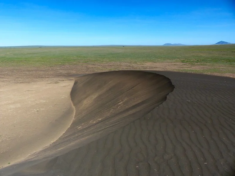
Northern Circuit
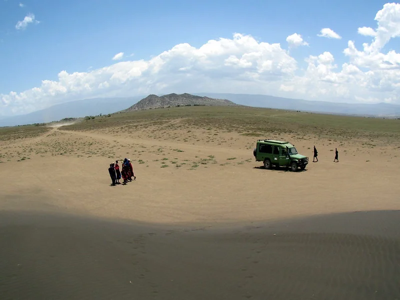
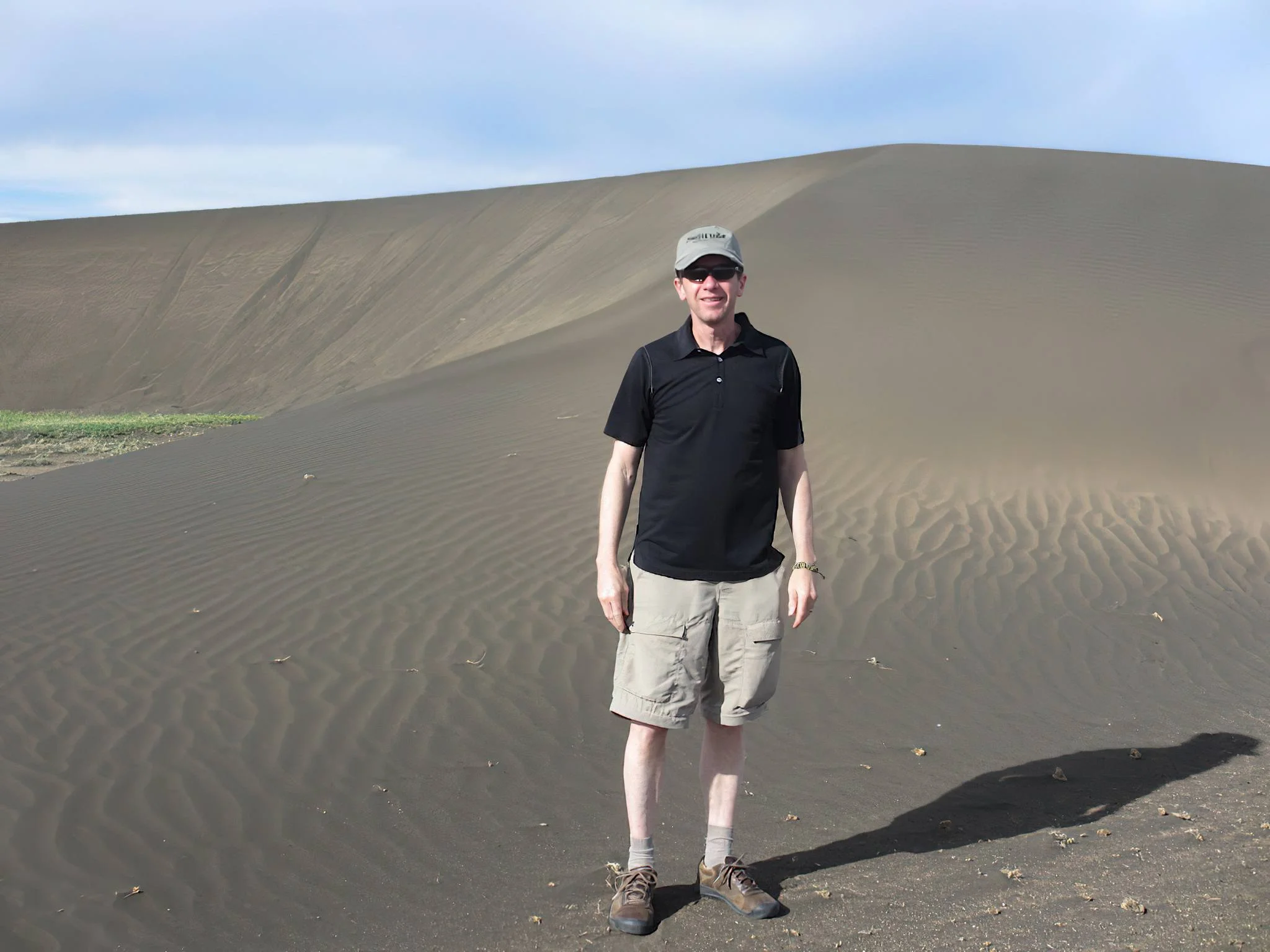
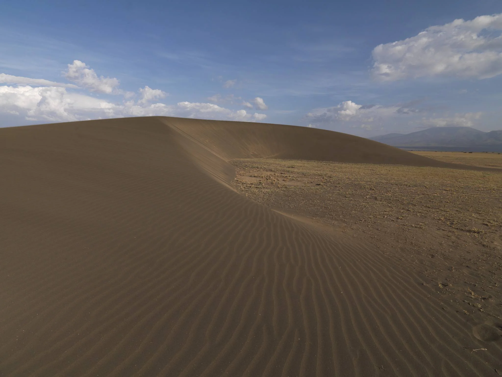
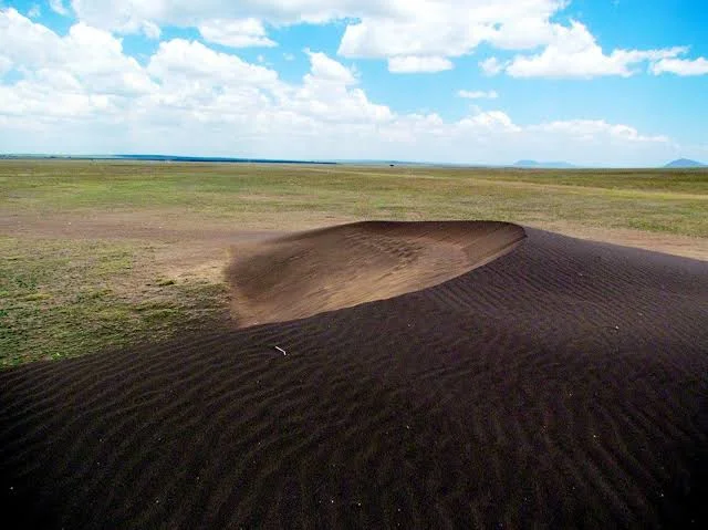
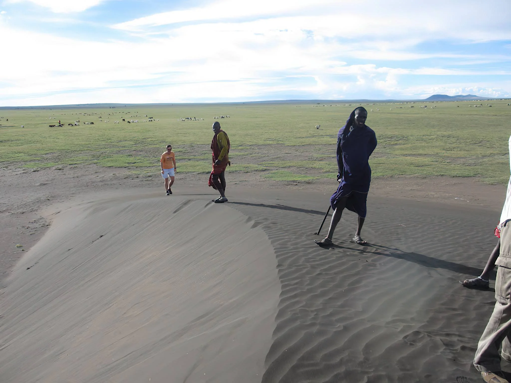
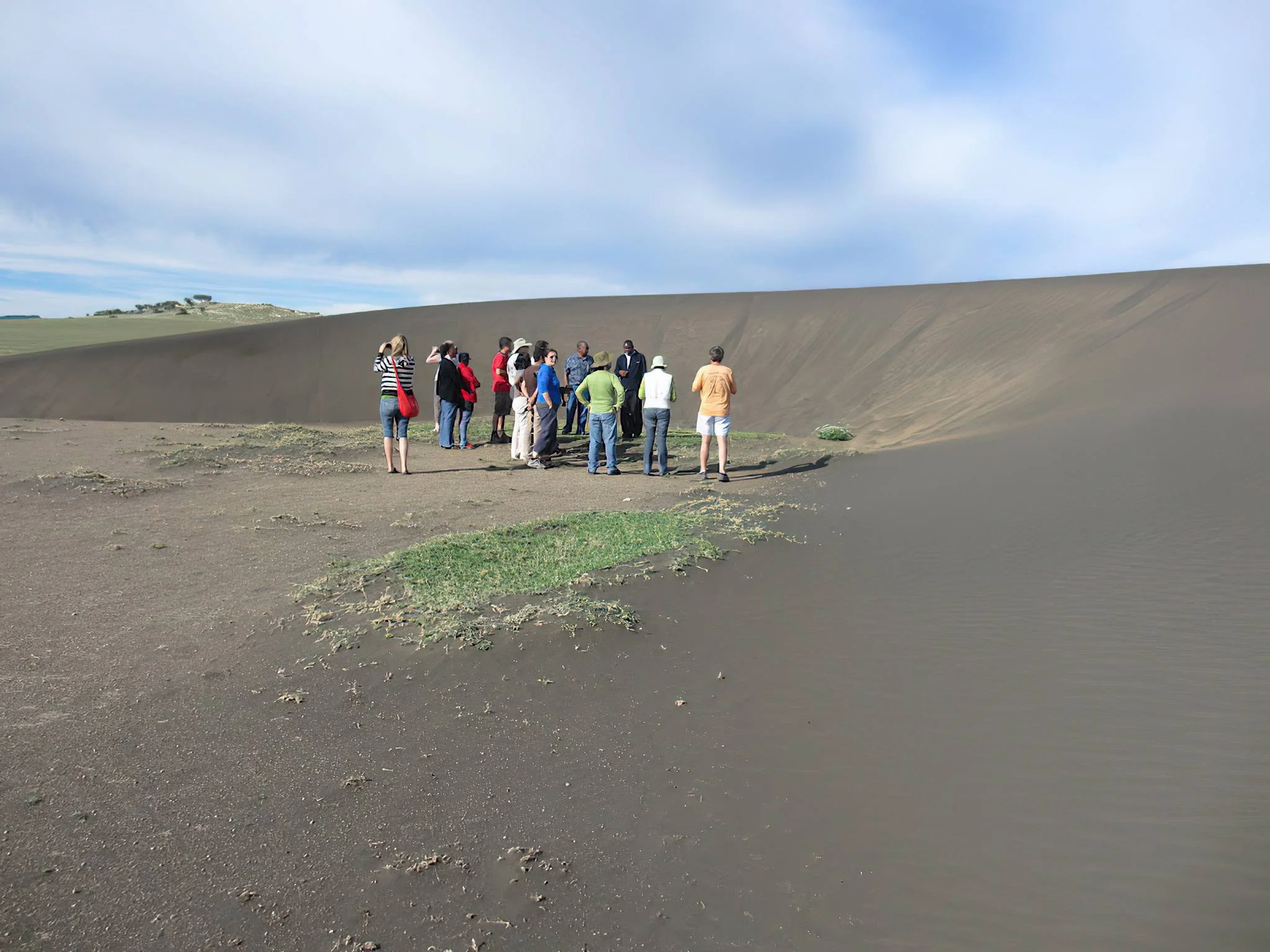
Shifting Sands is one of northern Tanzania’s most unusual geological sights: a solitary crescent-shaped dune of dark volcanic sand set against the open plains near Olduvai Gorge. Located within the Ngorongoro Conservation Area, it adds an unexpected chapter to a safari through the Olduvai and Serengeti landscapes. The attraction is the contrast between the dune’s sculpted form, its rippled surface and the wide horizon, together with the story of how volcanic material and prevailing winds created a landform that continues to migrate. This is a barchan dune, a type of crescent-shaped dune formed where sand is limited and winds blow predominantly from one direction. Wind carries grains up the more gently inclined windward surface. At the crest, grains settle and slip down the steeper sheltered face, gradually advancing the dune while it retains a recognisable overall shape. Its horns extend in the direction of movement. Changes in wind strength, moisture and the supply of loose material influence its shape and progress; a photograph captures one moment in a continuing natural process. The dark colour comes from volcanic material containing iron-rich minerals, including magnetite. The Ngorongoro Geopark associates the material with an ash layer originating from Ol Doinyo Lengai. Over time, wind removed lighter particles and concentrated heavier grains into the distinctive dark dune. Some grains respond to a magnet, which makes a guide-led demonstration particularly memorable if permitted. Magnetism is a property of the material; wind transport and sorting explain the dune’s formation and movement. Leave the sand and other natural material in place. Shifting Sands moves gradually westward across the plains. Historic measurements describe its progress over years, but its speed is not a fixed annual promise and its present location should be checked locally. You will not normally see the whole dune visibly travel during a short visit. What you can appreciate is the finely textured surface, the difference between its two slopes and the relationship between the crescent and the prevailing wind. Avoid relying on an old map pin or treating published height and width figures as permanent measurements. A visit is best arranged as a guided vehicle excursion from the Olduvai area, using a suitable safari vehicle and a driver who can confirm the current position, permitted approach and track conditions. The dune lies northwest of the Olduvai Museum, but visiting it is a separate excursion rather than something automatically included in a museum stop. Allow sufficient time for the drive, a geology explanation and photographs. A short site visit can fit into a wider safari day when access is practical, while the complete excursion takes longer because of the approach. Plan the timing around your route rather than a guaranteed transfer duration. The generally drier months from June to October often provide a practical window for travelling on the surrounding tracks. January and February can also suit an excursion between the wetter periods. Long rains commonly occur from March to May, while shorter rains may affect the region from October to December. Rain can make tracks muddy, reduce access and alter the appearance of the surrounding plains; weather varies from year to year. Dry conditions can bring dust, exposed heat and strong wind, so carry water, sun protection and a light wind layer. Protect cameras and lenses from blowing sand. This destination suits travellers interested in geology, photography and the broader story of the northern Tanzanian landscape. Children can enjoy discovering how dunes form, provided they remain closely supervised and follow the guide’s instructions. The sandy, uneven ground and remote approach may be difficult for visitors with limited mobility. Discuss the distance from the vehicle, available viewing positions and assistance before booking. Any extended walking activity in the conservation area requires advance arrangements, including the applicable ranger support; confirm what is required for the specific excursion. Do not wander independently across the plains. Pair Shifting Sands with the Olduvai Gorge and Museum to connect geological change with the region’s archaeological significance. Nasera Rock may also be considered as part of a carefully planned geological itinerary, subject to routing, access and time. Visits can complement a Ngorongoro and Serengeti safari, but a Ngorongoro Crater descent is a separate activity with its own arrangements. Wildlife may be encountered on the journey, yet Shifting Sands is primarily a geological stop and sightings are never guaranteed. Plan accommodation at authorised lodges or camps elsewhere along your safari route. Do not assume there are visitor facilities, toilets, refreshments or camping services at the dune itself. Confirm the last suitable comfort stop and any permitted picnic arrangements before leaving. Ask for a current quotation that identifies conservation-area access, the vehicle excursion, guide services and any walking or ranger requirements. Approach quietly, keep vehicles to permitted tracks, follow local instructions about where to stand, and preserve the dune for the visitors who come after you.
March–May: the long-rain period can make the plains lush but tracks muddy or difficult to use. An excursion depends on current road conditions and local permission. Keep plans flexible and allow the guide to change the approach or defer the stop if conditions require. There is no guaranteed low-season access or crowd level.
January–February and the transition periods around the rains can offer useful visiting opportunities. October–December may bring short rains, with variable track conditions and changing skies. Check the latest local conditions rather than relying on calendar dates. Morning or later-day light may suit photography when it fits the permitted route.
June–October is generally the drier period and often the most practical time for a plains excursion. Expect exposed sun, wind and possible dust; carry water and protect camera equipment. These months overlap popular northern-safari travel periods, so arrange your guide, vehicle and accommodation ahead. The dune’s exact condition and access still need local confirmation.
Shifting Sands lies on the plains northwest of the Olduvai Gorge and Museum, within the Ngorongoro Conservation Area in northern Tanzania. Arrange the excursion with your safari guide as an additional stop on a permitted Olduvai-area route; it is separate from a museum visit and from a Ngorongoro Crater descent. Most international visitors begin a northern Tanzania itinerary via Kilimanjaro International Airport, with Arusha serving as a common safari departure point. Travel onward in a suitable safari vehicle as part of a planned Ngorongoro–Olduvai–Serengeti itinerary. There is no fixed public-transport connection or reliable permanent dune coordinate to use independently. The dune migrates, so the driver should confirm its current location, permitted tracks and weather conditions with local authorities or knowledgeable staff. Drive time depends on the starting lodge, safari route, track conditions and the dune’s current position. Ask for a route-specific estimate and allow extra time for the geology explanation, photographs and any earlier Olduvai visit. Conservation-area entry and any activity arrangements must be confirmed before travel. For extended walking, arrange the necessary guide, permission and armed ranger support in advance. Discuss mobility needs, distance from the vehicle, comfort stops and permitted picnic arrangements; do not assume facilities exist at the dune.
Shifting Sands is an isolated crescent-shaped dune of dark volcanic material near Olduvai Gorge. Wind continually reshapes it and moves it gradually across the surrounding plains, making it a distinctive geological stop on a northern Tanzania safari.
It lies northwest of the Olduvai Gorge and Museum on the plains within the Ngorongoro Conservation Area. Because the dune migrates, its exact position should be confirmed locally rather than taken from an old map pin.
The Shifting Sands site is within the Ngorongoro Conservation Area, near the eastern Serengeti plains. The conservation area and Serengeti National Park have different access arrangements; your itinerary should account for the areas actually entered.
A barchan is a crescent-shaped dune that forms where the supply of sand is limited and the dominant wind comes mainly from one direction. It has a gentler windward slope, a steeper sheltered face and horns that extend in the direction of movement.
The dune contains dark volcanic grains enriched in iron-bearing minerals, including magnetite. Wind sorting has removed lighter material and concentrated heavier grains, producing a striking contrast with the surrounding plains.
Some grains contain magnetite and can respond to a magnet. A guide may demonstrate this if permitted. The dune is shaped and moved by wind; it is inaccurate to say magnetism locks the whole dune together or stops grains from being transported.
The Ngorongoro Geopark associates the dune’s material with an ash layer originating from Ol Doinyo Lengai. Subsequent wind transport and sorting concentrated the heavier volcanic grains into the moving dune seen today.
Wind carries grains up the windward slope and over the crest. Grains then accumulate and slip down the sheltered face. Repeating this process slowly advances the dune while preserving an overall crescent form.
Historic measurements show gradual movement over years, but the annual rate varies with conditions and the period measured. Treat published speeds as historical observations rather than a guaranteed current rate.
Usually no. Its overall migration is too gradual to watch during a brief stop. Surface ripples, windblown grains and the contrast between slopes help a guide explain how movement occurs over time.
Arrange a separate excursion with a knowledgeable safari driver in a suitable vehicle. The driver should confirm the dune’s current location, the permitted approach and track conditions. A museum visit does not automatically include access to the dune.
Allow time for the approach drive, a short guided explanation and photographs, plus the return or onward journey. The full duration depends on your starting point, route and current access. Request a realistic itinerary-specific estimate instead of relying on a fixed transfer time.
Generally drier conditions from June to October often make track travel easier. January and February may also work well. Long rains from March to May and shorter rains around October to December can affect access, so current local conditions matter more than the month alone.
A knowledgeable guide or safari driver is strongly recommended for location, interpretation and permitted access. Extended walking activities in the conservation area require advance arrangements and armed ranger support. Confirm the requirements for your particular vehicle stop or walking excursion before travel.
Follow the guide’s instructions about where to stand and whether any supervised mineral demonstration is permitted. Leave sand and other natural material at the site. Collecting a souvenir removes part of the attraction and should not be part of your visit.
Do not assume climbing or recreational use is permitted. Ask the guide which viewing positions are appropriate for the day. Plan this as a geological and photography excursion, and avoid sandboarding, driving on the dune or any activity that disturbs its form.
Children can enjoy a supervised geology stop, but they should stay close to adults and follow the guide. Uneven sandy ground and a remote vehicle approach may present mobility challenges. Discuss viewing from or near the vehicle, walking distance and assistance before confirming the excursion.
That depends on the quoted itinerary. Ask for a current breakdown covering conservation-area access, vehicle transport, guide services and any applicable activity, walking or ranger charges. Do not assume every Olduvai or safari booking includes a Shifting Sands excursion.
Olduvai Gorge and Museum make a natural pairing, connecting the landscape with archaeology and early human history. Nasera Rock may suit a longer geological route when practical. The stop can also complement a Ngorongoro–Serengeti safari; crater descent is a separate activity.
Bring drinking water, a hat, sunscreen, closed shoes, a light wind layer and protection for cameras against dust. Do not assume toilets, refreshments or camping services exist at the dune. Arrange comfort stops, authorised accommodation and any permitted picnic with your guide in advance.
Grateful experience
As a solo female traveler, I felt super safe and well taken care of the entire time.
Read morePrivate Safari 6 days
I can only highly recommend the young company Tanzalux for organizing a private safari.
Read moreAn unforgettable vegetarian journey with Tanzalux Safaris
I highly recommend Tanzalux for anyone wanting a special, personalized safari.
Read moreOur 3-day camping safari with Tanzalux was simply fantastic! Everything was perfectly organized.
Read moreBack in April, I joined a day trip to Tarangire National Park with Tanzalux Safaris, and it was truly one of the best experiences I have ever had…
Read moreI've had an amazing experience with Tanzalux Safaris, would 1000% recommend! Thank you for making my trip so special🫶
Read moreI recently visited Meru Waterfalls in Arusha and got to do some of the activities there, honestly it was such a great experience and I really enjoyed it.
Read moreOur guide Dullah Mr Rastaman had the best vibe. I would like to recommend other people not to miss it, Tarangire is the best national park.
Read moreOur tour guide Nasri was very friendly and welcoming from the first day we met him. He knows Tarangire very well and explained many things during the safari.
Read moreAs a grandmother in the group, I would like to share my happiness with Tanzalux Safaris. Me, my daughters, and my grandson went on a short trip to Tarangire National Park…
Read moreReceive a free, no obligation quote

 Western Circuit
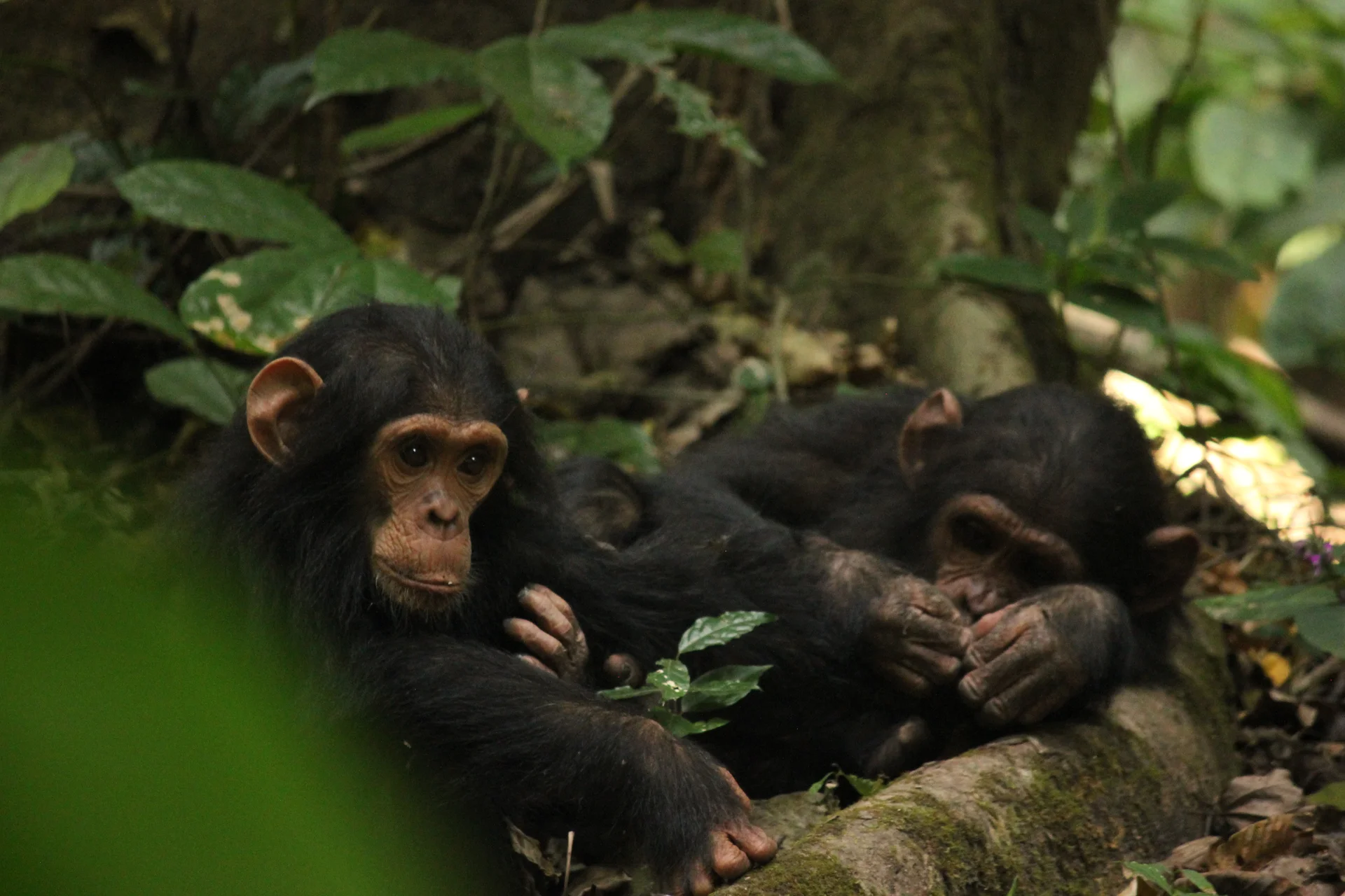
Gombe Stream National Park, also known as Gombe National Park, combines wild chimpanzee trekking with forested hills and the shores of Lake Tanganyika. In Kigoma…
Wildlife
Chimpanzees & Olive baboons
Landscape
National Parks & Safari
Highlights
Wild chimpanzee trekking with park rangers
 Southern Circuit
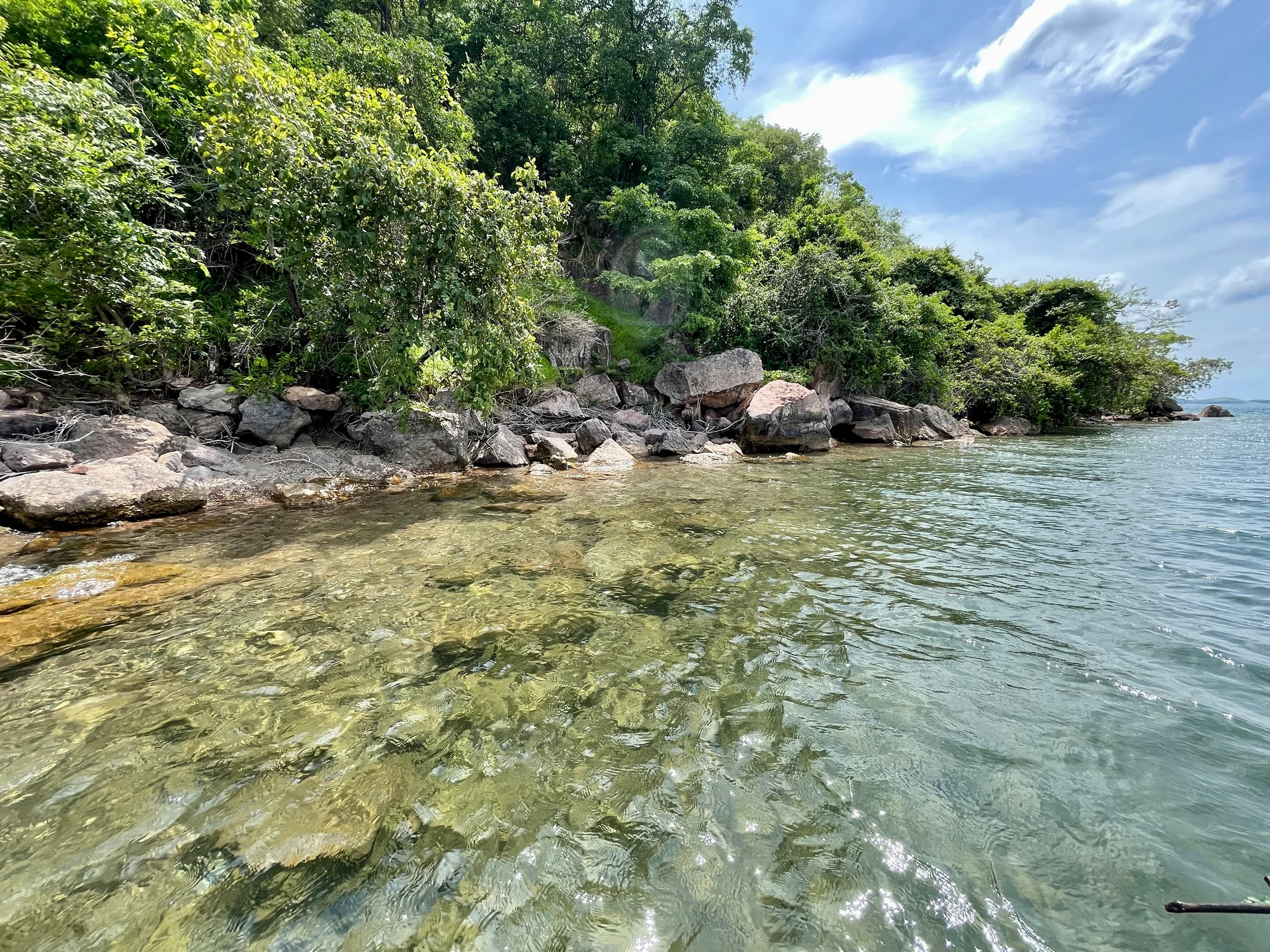
Lake Tanganyika offers a striking freshwater setting along Tanzania’s western frontier: broad blue horizons, wooded shores, bays, beaches and communities whose daily life is closely…
Wildlife
Endemic cichlid fish & Other freshwater fish
Landscape
Lakes & Hot Springs
Highlights
Africa’s deepest freshwater lake in the East African Rift
 Northern Circuit
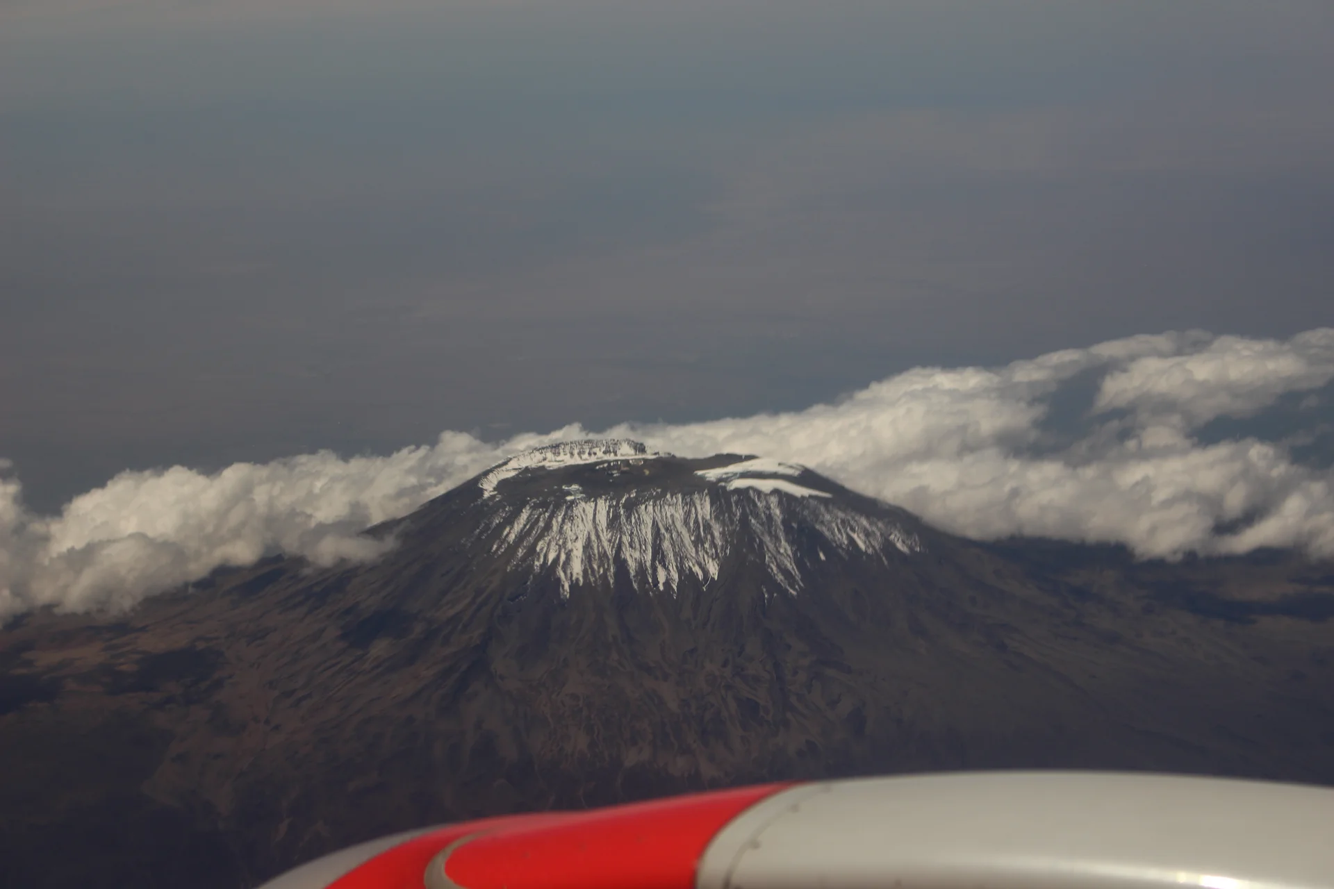
Kilimanjaro rises above northern Tanzania’s plains to Uhuru Peak at 5,895 metres, the highest point in Africa. Its volcanic massif, dramatic changes in vegetation and…
Wildlife
Black-and-white colobus monkeys in forest habitats & Blue monkeys in forest habitats
Landscape
Mountains & Trekking
Highlights
Uhuru Peak at 5,895 metres — Africa’s highest point
 Western Circuit
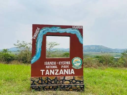
Ibanda-Kyerwa National Park protects a scenic corner of northwestern Tanzania, where the Kagera River meets a landscape of savanna, wooded slopes, valleys and wetlands. Situated…
Wildlife
Buffalo & Roan antelope
Landscape
National Parks & Safari
Highlights
Kagera River scenery on Tanzania’s northwestern border
 Zanzibar & Islands
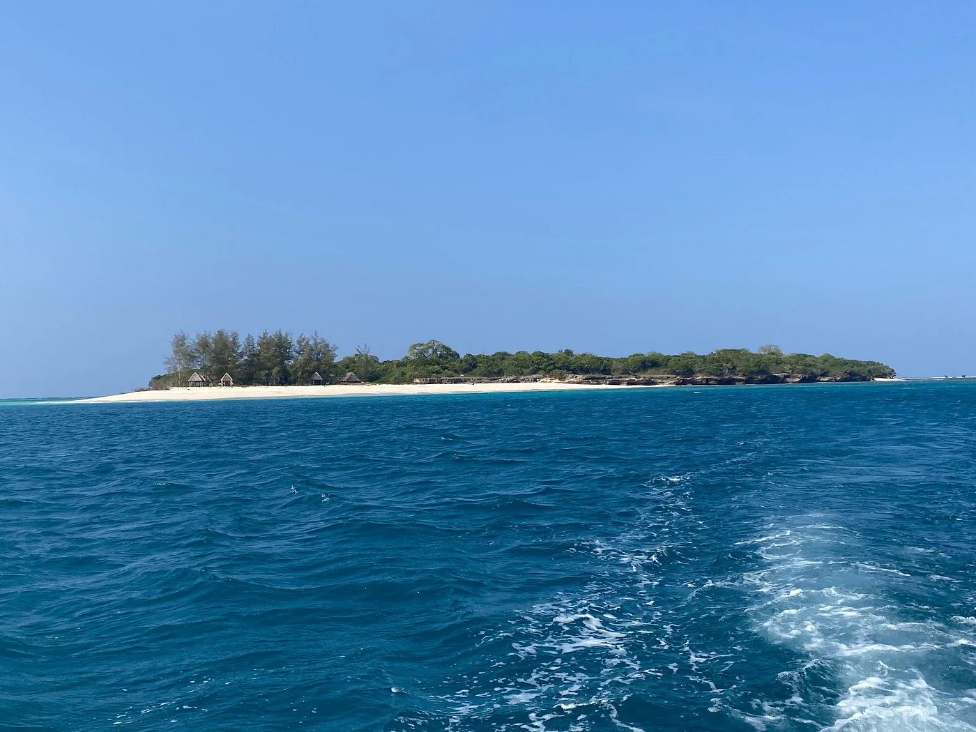
Sinda Island Marine Reserve offers an Indian Ocean escape off Kigamboni, on the southern side of Dar es Salaam. The reserve encompasses Inner and Outer…
Wildlife
Reef fish & Coastal birds
Landscape
Beaches & Islands
Highlights
Inner and Outer Sinda islands
 Northern Circuit
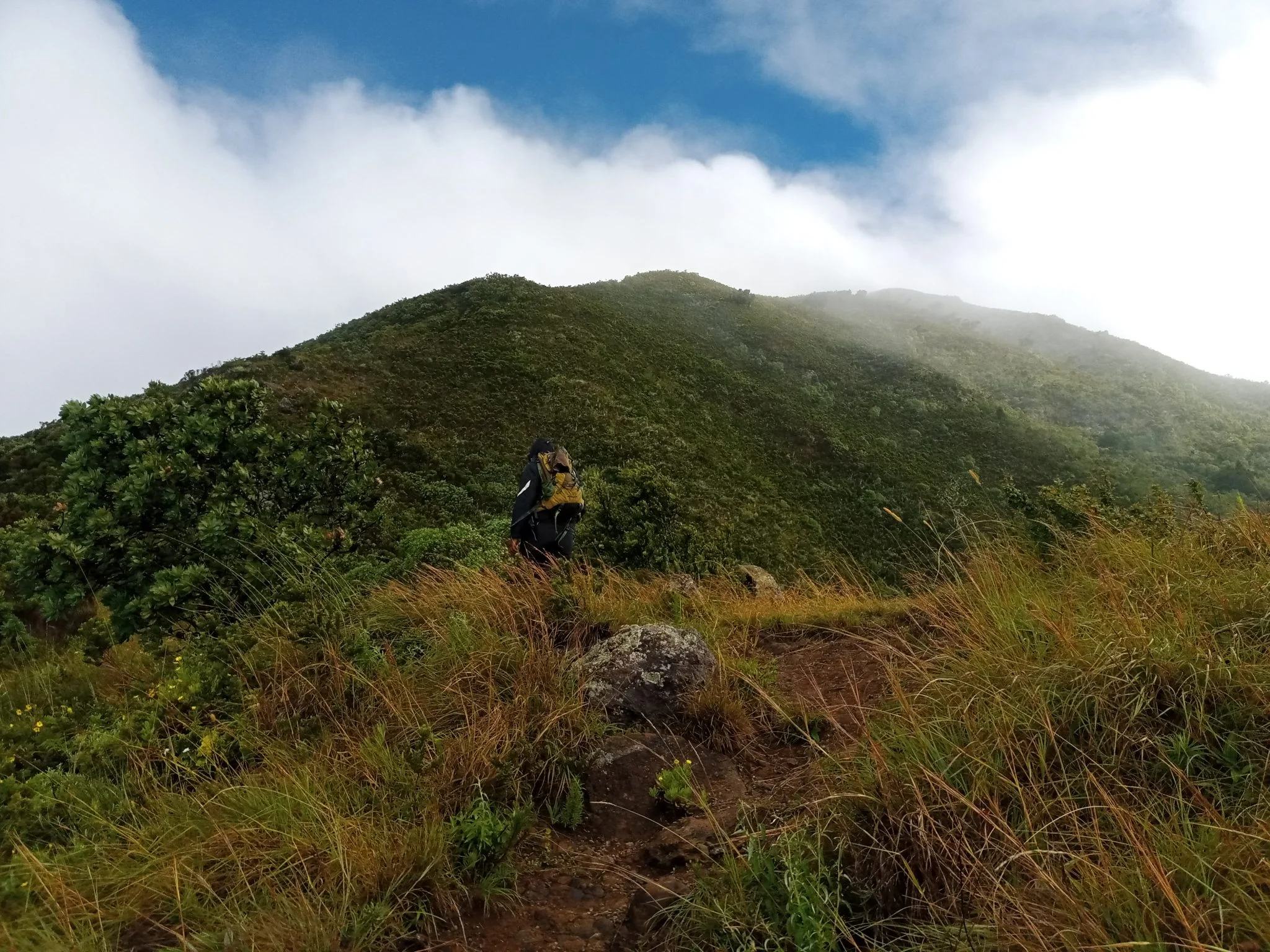
Discover Mount Hanang Rising above Katesh in Tanzania’s Manyara Region, Mount Hanang offers a rewarding mountain adventure beyond the familiar northern safari circuit. At approximately…
Wildlife
Klipspringer & Vervet monkeys
Landscape
Mountains & Trekking
Highlights
Approximately 3,423 metres — Tanzania’s fourth-highest mountain