 5.0 Excellent

Dorine M1 year ago

Grateful experience
As a solo female traveler, I felt super safe and well taken care of the entire time.
Read more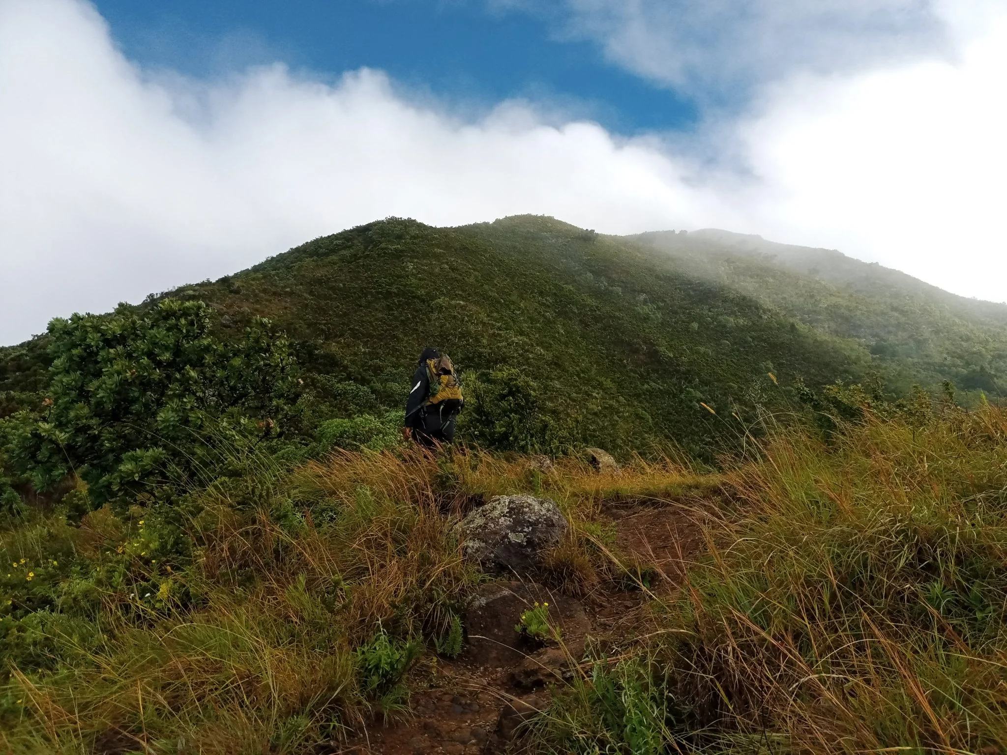
Northern Circuit
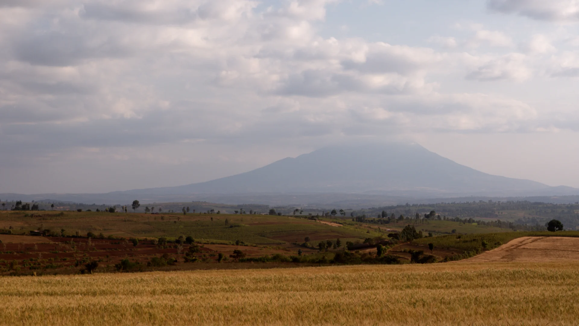
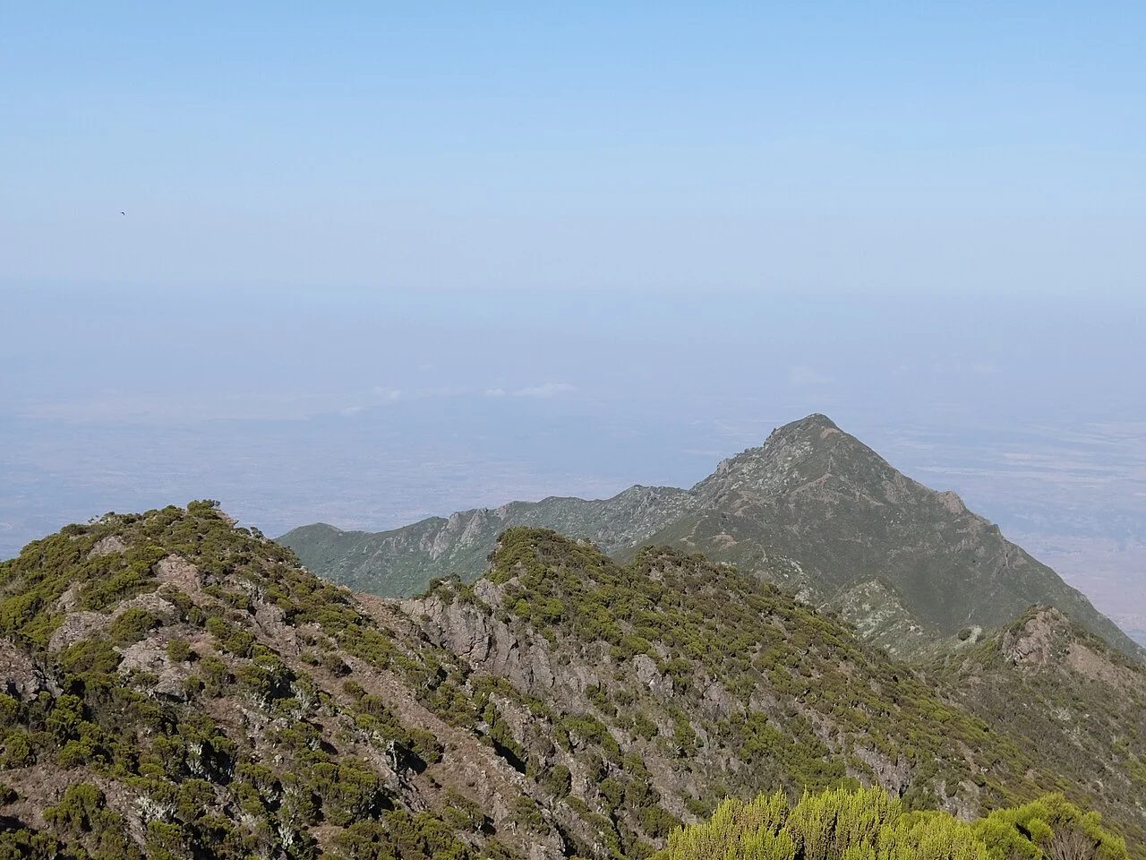
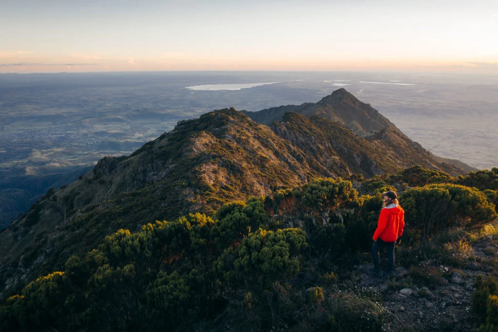
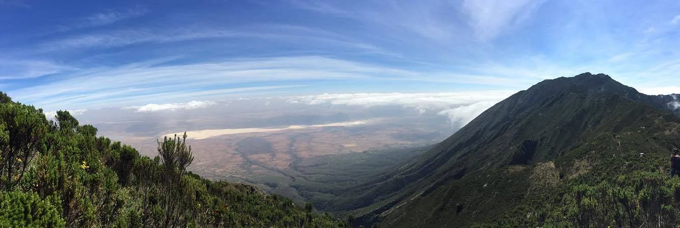
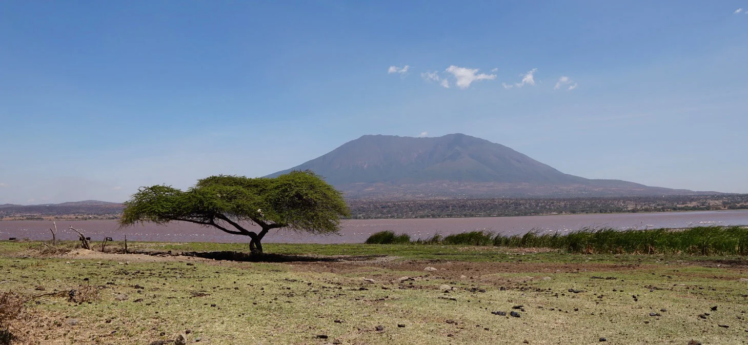
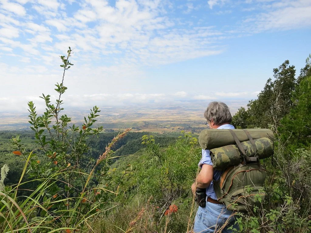
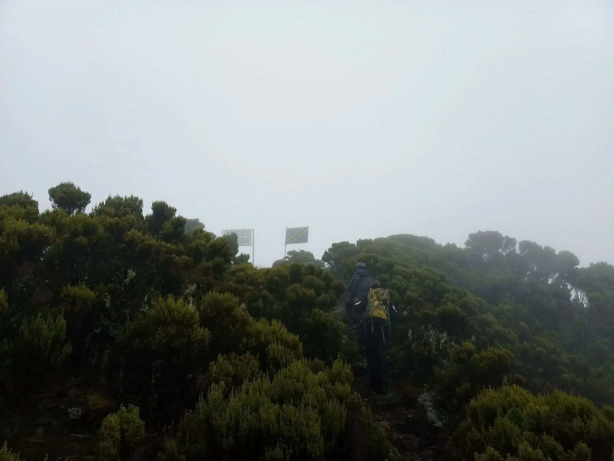
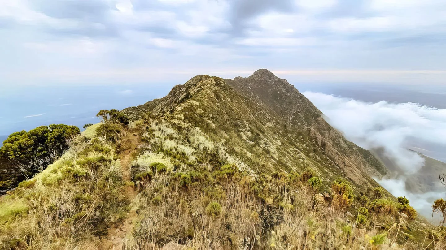
Discover Mount Hanang Rising above Katesh in Tanzania’s Manyara Region, Mount Hanang offers a rewarding mountain adventure beyond the familiar northern safari circuit. At approximately 3,423 metres, it is Tanzania’s fourth-highest mountain: a substantial climb with changing vegetation, open upper slopes and expansive views when the weather clears. Its appeal lies in the journey through a varied mountain landscape as much as in reaching the summit. Travellers who enjoy walking, natural history, photography and a quieter setting can make Hanang a distinctive part of a Tanzania itinerary. The mountain is protected within Mount Hanang Nature Forest Reserve, managed by the Tanzania Forest Services Agency. It lies in Hanang District and is approached through the Katesh area. This is a forest reserve destination, with its own access arrangements. Plan the excursion with the reserve administration and a knowledgeable local guide before travelling, so that the chosen route, permissions, transport and available support match the trip you intend to take. A mountain of changing habitats One of Hanang’s most interesting qualities is its ecological variety. The reserve includes dense forest, open forest, woodland, bushland, grassland and heathland. These environments change the character of a walk as you gain height: shaded vegetation gives way to more exposed landscapes, and the pace naturally slows as the air becomes thinner. Forest and hillside vegetation also contribute to the importance of this protected mountain as a natural catchment and a place for conservation. Visitors should expect a mountain landscape rather than a conventional vehicle-based wildlife safari. Time spent observing vegetation, listening for birds and examining the transition between habitats adds depth to the climb. TFS records mammals including klipspringer, vervet monkeys, bushbabies, rock hyrax, bush pigs and olive baboons, as well as elusive leopard and spotted hyena. The Hanang mole-rat, Fukomys hanangensis, is a distinctive part of the mountain’s biodiversity; its underground habits make it a conservation interest rather than a promised sighting. Documented birds include Hartlaub’s turaco, speckled mousebird, little swift and cinnamon bracken warbler. Animal sightings depend on habitat, season and chance. A guide can interpret what is actually present along the permitted route and help keep wildlife observation respectful. Trekking and the summit experience A summit attempt requires stamina, steady pacing and realistic expectations. Although Hanang is lower than Kilimanjaro and Mount Meru, the climb still involves sustained ascent, uneven ground and a long descent. Weather, trail conditions, starting point and the group’s pace determine the time needed. Avoid booking around an inflexible summit timetable or treating a distance quoted for one route as valid for every approach. Tanzania Tourism identifies three approaches: Katesh from the southwest, Gendabi from the northwest and Giting from the east. Katesh is the commonly used approach. The appropriate route depends on current conditions, permission, local logistics and the group’s experience; confirm the actual starting point with your guide. Select an itinerary that fits the least experienced walker in the group. A guided lower-slope walk can be worthwhile for visitors who prefer scenery and forest interpretation without a summit objective. For a longer mountain outing, discuss whether an overnight plan is appropriate: camping is among the reserve’s listed activities, but locations, permission, water arrangements, equipment and support must be confirmed in advance. Do not assume that huts, meals, porters or serviced campsites are automatically included. Start with a clear plan for the descent and a conservative turnaround time. The summit is an optional achievement; returning safely is essential. Cloud can hide distant views, and wind, rain or slippery terrain may change the day’s objective. The guide should be able to adjust the walk when conditions or the group’s energy make continuing unwise. Altitude and preparation At this elevation, altitude can affect visitors even when they are physically fit. Allow time to adjust, walk steadily and discuss individual health concerns with a qualified clinician before the trip. Headache, nausea, dizziness or unusual fatigue after ascent should be reported promptly, with no further ascent while symptoms are assessed. Worsening symptoms require descent; confusion, poor coordination or breathlessness at rest require urgent assistance. A successful Hanang hike does not guarantee protection from altitude illness on another mountain. Prepare with regular walking and uphill exercise, and arrive rested. Wear broken-in hiking footwear with dependable grip. Carry a rain layer, warm insulating clothing, sun protection, enough drinking water and food for the agreed itinerary. Trekking poles can help on the descent, and a headlamp is useful even when the intention is to finish in daylight. Overnight trips require a separate equipment plan suited to cold, damp or windy conditions. Choose timing around mountain conditions Northern Tanzania’s generally drier period from June to October often offers a useful planning window for walking, but it does not guarantee clear skies or dry trails on Hanang. March to May usually brings the long rains, while shorter rains commonly affect part of October to December. January and February may offer drier intervals, with local conditions varying from year to year. Rain can make paths muddy and descents more demanding. Exposed upper slopes may feel cold even after a warm start near the mountain’s base. Check the local forecast and ask the guide or reserve team about the condition of the actual route shortly before departure. Allow flexibility in the itinerary rather than relying on a seasonal label alone. Katesh, access and local encounters Katesh is the practical starting area for organising a Hanang visit. Many travellers approach overland from Arusha or connect the mountain with a wider journey through Manyara. Road travel and the final approach to a trailhead depend on the selected route, road conditions and stops; obtain a current transfer estimate instead of assuming a fixed driving time. Travellers arriving through Kilimanjaro International Airport or Arusha Airport still need an onward road transfer. Use local knowledge to plan accommodation, meals, early departure logistics and return transport. Community visits can add a meaningful dimension to a mountain journey when arranged with willing hosts. Ask permission before photographing people, respect local customs and support local guides and services. The reserve’s visitor information also identifies Himiti Waterfalls, views of Gendabi salt lake, historical caves and Barabaig or Iraqw sacred places as local interests. Treat these as separately planned possibilities, with access and local consent checked; they are not automatic stops on a summit climb. Do not assume that a cultural encounter is included in the reserve entry or that any community can be visited without prior arrangements. Responsible travel on Hanang Stay on the route agreed with the guide and follow reserve instructions. Leave plants, rocks and wildlife undisturbed, carry out litter and avoid fires unless explicitly permitted under the arrangements for your visit. Keep noise low in forest areas and give animals space. Camping requires careful waste and sanitation planning, especially where facilities are limited. Before setting off, confirm entry permissions and charges, the guide arrangement, route and turnaround plan, weather assessment, drinking-water supply, communication options and emergency transport. Tell someone responsible about your intended return. This practical preparation protects both the group and the mountain, and makes it easier to enjoy the walk at a comfortable pace. Plan your Mount Hanang journey Hanang suits travellers who want an active experience with time to appreciate a protected mountain landscape. Combine it thoughtfully with other destinations, allowing recovery time and realistic transfers. TanzaLux can help shape a guided outing around your experience, available days and preferred level of activity, with access and services checked before the itinerary is confirmed.
March–May generally brings the long rains. Expect a greater chance of wet trails, mud and poor visibility, with a more demanding descent. A walk should depend on the current route assessment and local forecast; allow flexibility and confirm access with the reserve team before travelling.
January–February may offer drier intervals, while parts of October–December can receive the short rains. Conditions vary by year and elevation. These periods can suit a flexible itinerary, with waterproof clothing, warm layers and current trail advice essential.
June–October is generally the drier planning window in northern Tanzania and is often a useful period for trekking. Mountain cloud, wind, cold and showers remain possible. Reserve the guide and any camping arrangements ahead, and confirm local conditions rather than assuming dry weather or clear summit views.
Mount Hanang is near Katesh in Hanang District, Manyara Region. Katesh is the practical gateway for local accommodation, guide arrangements and the onward transfer to the agreed trailhead. International visitors can arrive through Kilimanjaro International Airport; Arusha Airport also serves domestic connections. Both require onward road travel. An overland journey from Arusha can be incorporated into a wider Manyara itinerary. Driving time varies with the approach, roads, stops and chosen starting point, so obtain a current transfer estimate. Confirm reserve entry, the guide, route conditions, camping permission if needed, drinking-water provision and return transport with Tanzania Forest Services and your trip organiser before departure.
Mount Hanang is near Katesh in Hanang District, Manyara Region, in northern Tanzania. Katesh is the practical gateway for arranging a visit and accessing the selected trailhead.
The mountain reaches approximately 3,423 metres above sea level. Official tourism information describes it as Tanzania’s fourth-highest mountain.
It is protected within Mount Hanang Nature Forest Reserve and managed by the Tanzania Forest Services Agency. Plan entry and activities through the reserve’s arrangements.
It combines a substantial mountain climb, varied forest and upland habitats, open landscapes and a quieter setting near Katesh. It is particularly appealing for walking, natural history and photography.
A summit attempt is physically demanding because it involves sustained ascent, uneven ground, altitude and a long descent. Difficulty depends on the selected route, weather, trail condition and your experience.
There is no single time that applies to every itinerary. Ask the guide to estimate the complete outing, including the descent, for your chosen route and group pace; agree a conservative turnaround time.
Official tourism information identifies Katesh from the southwest, Gendabi from the northwest and Giting from the east. Katesh is commonly used. Confirm the permitted route, starting point and current condition with the reserve team and your guide.
Arrange the visit with a knowledgeable local guide and confirm the current reserve entry requirements with Tanzania Forest Services. Check any additional arrangements for your selected route or camping plan before departure.
Camping is listed among the reserve’s activities. Confirm permitted locations, fees, water arrangements, equipment, support and sanitation planning in advance; do not assume that serviced campsites or huts are available.
June–October is generally a useful drier planning window in northern Tanzania. January–February can have drier intervals, while rainy periods require extra flexibility. Local forecasts and current trail advice matter more than a seasonal label.
Conditions can change with elevation and during the day. A warm start may give way to cloud, cold, wind or rain on higher ground. Carry waterproof and insulating layers in any season.
The reserve includes dense forest, open forest, woodland, bushland, grassland and heathland. Which habitats you experience depends on the route and how high you walk.
TFS records klipspringer, vervet monkeys, bushbabies, rock hyrax, bush pigs, olive baboons, spotted hyena, leopard and the underground Hanang mole-rat. These records do not guarantee sightings; trekking and habitat appreciation remain the main visitor experiences.
Yes. TFS documents birds including Hartlaub’s turaco, speckled mousebird, little swift and cinnamon bracken warbler. Ask for a guide with local bird knowledge, and treat sightings as dependent on conditions rather than guaranteed.
Bring sturdy hiking footwear, waterproof and warm layers, sun protection, enough drinking water and food, a headlamp and any personal essentials. Confirm the full kit with your guide; overnight trips need a separate camping plan.
Yes. Fitness does not prevent altitude illness. Ascend conservatively and report symptoms promptly; stop ascending while unwell and descend if symptoms worsen. Severe symptoms require urgent assistance. Discuss personal medical concerns with a qualified clinician.
Suitability depends on fitness, age, experience, health and the chosen walk. A shorter guided outing may be more appropriate than a summit attempt. Discuss the group honestly with the organiser before booking.
Travel overland to the Katesh area, then continue to the trailhead agreed with your guide. Kilimanjaro International Airport and Arusha Airport are possible arrival points, with onward road transfers arranged separately.
Yes, with realistic transfers and recovery time. Local interests identified by TFS include Himiti Waterfalls, Gendabi salt-lake views, historical caves and sacred places. Arrange these separately with permission and community consent rather than assuming they are included in every mountain route.
Confirm current entry requirements and charges, the guide, route, complete hiking plan, weather and trail assessment, accommodation, water and meals, camping permission if relevant, emergency arrangements and return transport. Ask what is included in the quoted trip.
Grateful experience
As a solo female traveler, I felt super safe and well taken care of the entire time.
Read morePrivate Safari 6 days
I can only highly recommend the young company Tanzalux for organizing a private safari.
Read moreAn unforgettable vegetarian journey with Tanzalux Safaris
I highly recommend Tanzalux for anyone wanting a special, personalized safari.
Read moreOur 3-day camping safari with Tanzalux was simply fantastic! Everything was perfectly organized.
Read moreBack in April, I joined a day trip to Tarangire National Park with Tanzalux Safaris, and it was truly one of the best experiences I have ever had…
Read moreI've had an amazing experience with Tanzalux Safaris, would 1000% recommend! Thank you for making my trip so special🫶
Read moreI recently visited Meru Waterfalls in Arusha and got to do some of the activities there, honestly it was such a great experience and I really enjoyed it.
Read moreOur guide Dullah Mr Rastaman had the best vibe. I would like to recommend other people not to miss it, Tarangire is the best national park.
Read moreOur tour guide Nasri was very friendly and welcoming from the first day we met him. He knows Tarangire very well and explained many things during the safari.
Read moreAs a grandmother in the group, I would like to share my happiness with Tanzalux Safaris. Me, my daughters, and my grandson went on a short trip to Tarangire National Park…
Read moreReceive a free, no obligation quote

 Western Circuit
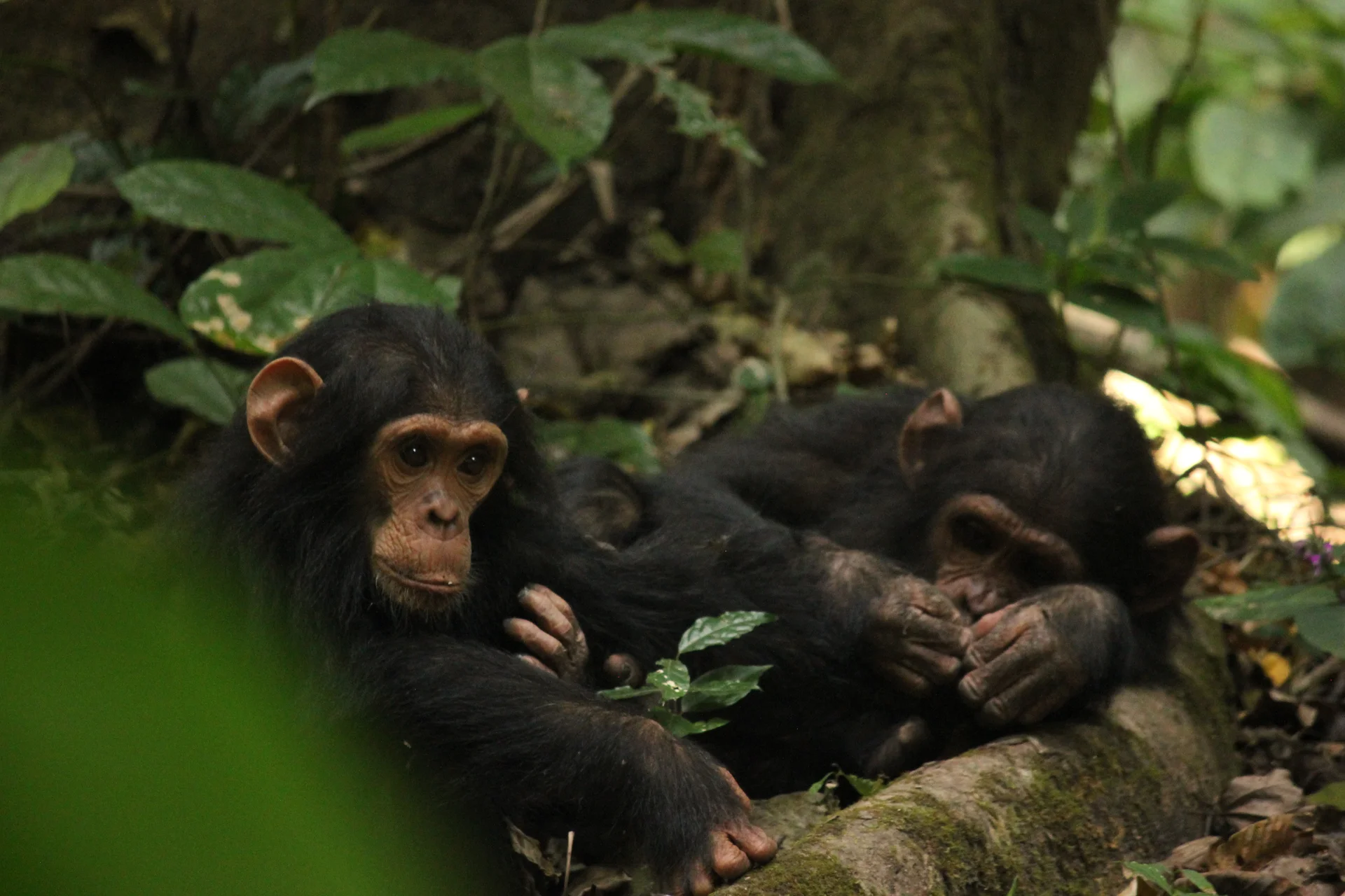
Gombe Stream National Park, also known as Gombe National Park, combines wild chimpanzee trekking with forested hills and the shores of Lake Tanganyika. In Kigoma…
Wildlife
Chimpanzees & Olive baboons
Landscape
National Parks & Safari
Highlights
Wild chimpanzee trekking with park rangers
 Southern Circuit
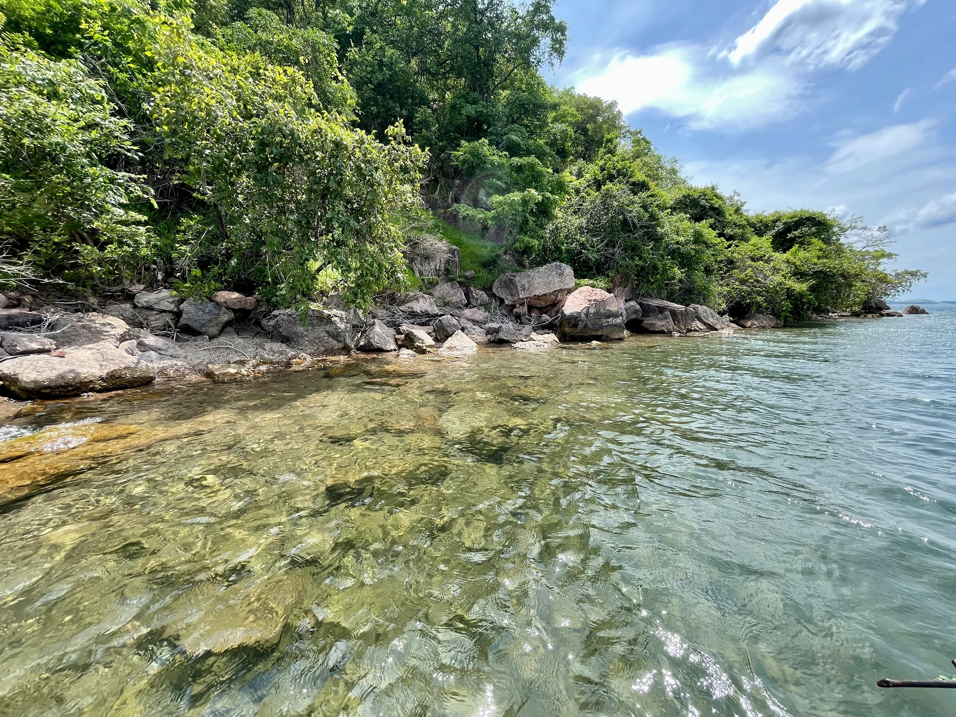
Lake Tanganyika offers a striking freshwater setting along Tanzania’s western frontier: broad blue horizons, wooded shores, bays, beaches and communities whose daily life is closely…
Wildlife
Endemic cichlid fish & Other freshwater fish
Landscape
Lakes & Hot Springs
Highlights
Africa’s deepest freshwater lake in the East African Rift
 Northern Circuit
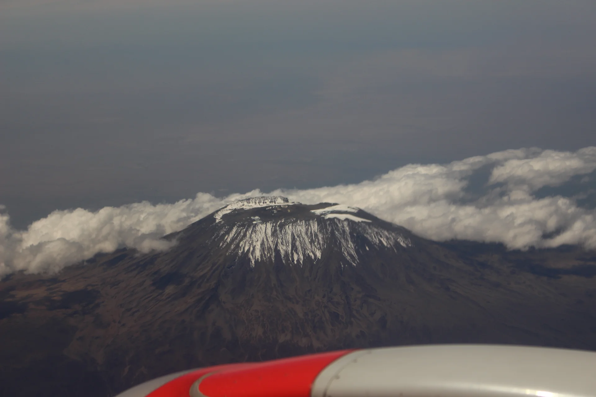
Kilimanjaro rises above northern Tanzania’s plains to Uhuru Peak at 5,895 metres, the highest point in Africa. Its volcanic massif, dramatic changes in vegetation and…
Wildlife
Black-and-white colobus monkeys in forest habitats & Blue monkeys in forest habitats
Landscape
Mountains & Trekking
Highlights
Uhuru Peak at 5,895 metres — Africa’s highest point
 Western Circuit
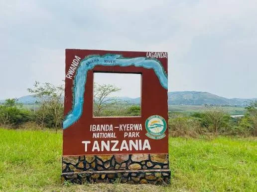
Ibanda-Kyerwa National Park protects a scenic corner of northwestern Tanzania, where the Kagera River meets a landscape of savanna, wooded slopes, valleys and wetlands. Situated…
Wildlife
Buffalo & Roan antelope
Landscape
National Parks & Safari
Highlights
Kagera River scenery on Tanzania’s northwestern border
 Zanzibar & Islands
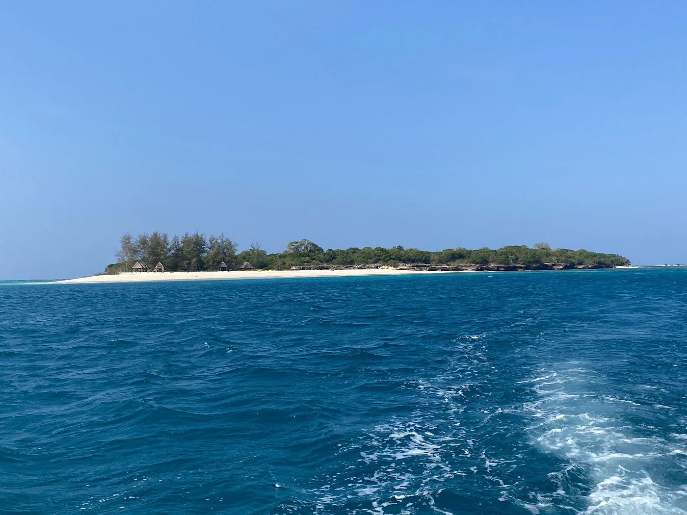
Sinda Island Marine Reserve offers an Indian Ocean escape off Kigamboni, on the southern side of Dar es Salaam. The reserve encompasses Inner and Outer…
Wildlife
Reef fish & Coastal birds
Landscape
Beaches & Islands
Highlights
Inner and Outer Sinda islands
 Northern Circuit
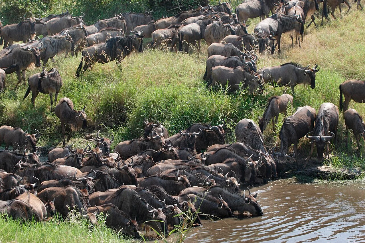
North Serengeti is one of the most captivating regions of Serengeti National Park in northern Tanzania. Located near the border with Kenya and extending toward…
Wildlife
Wildebeest & Zebra
Landscape
National Parks & Safari
Highlights
Experience the remote wilderness of northern Serengeti