 5.0 Excellent

Dorine M1 year ago

Grateful experience
As a solo female traveler, I felt super safe and well taken care of the entire time.
Read more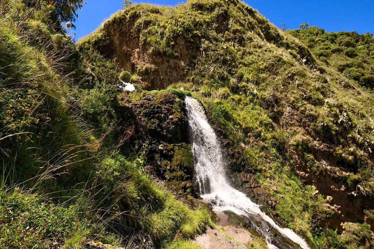
Northern Circuit
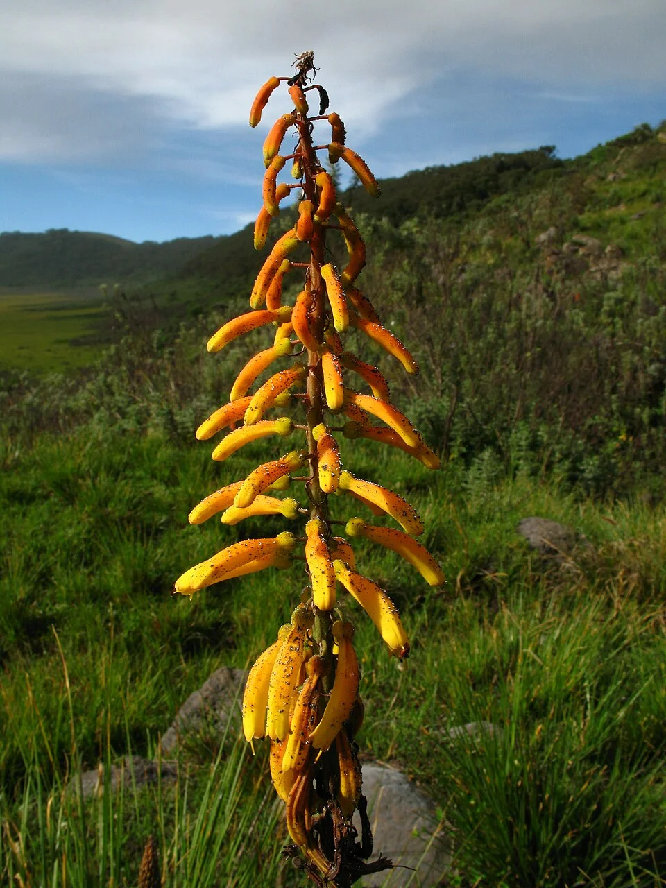
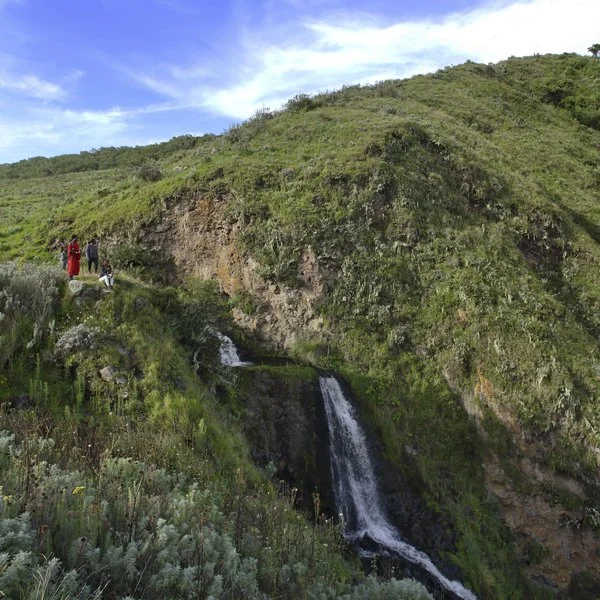
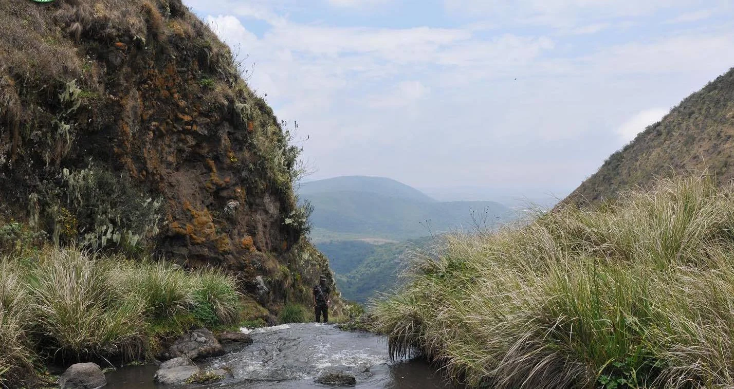
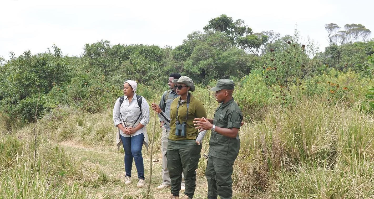
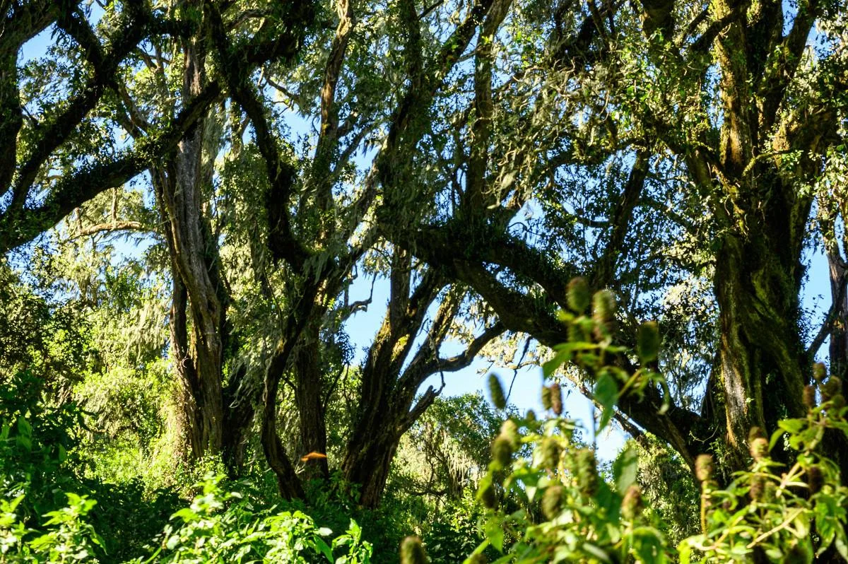
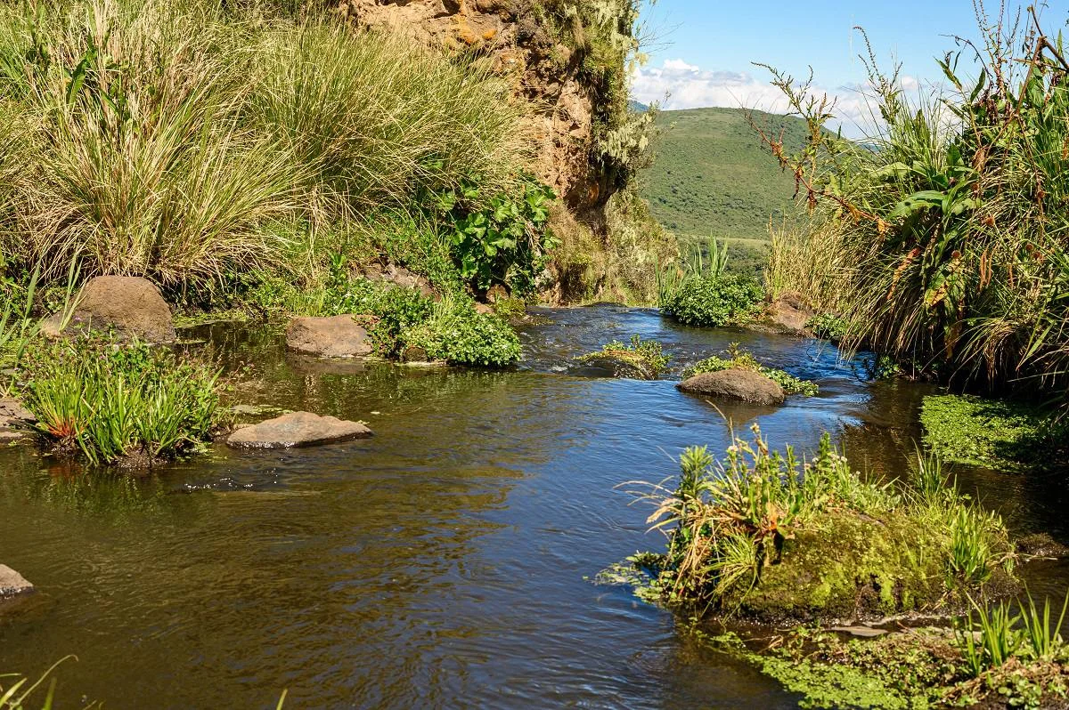
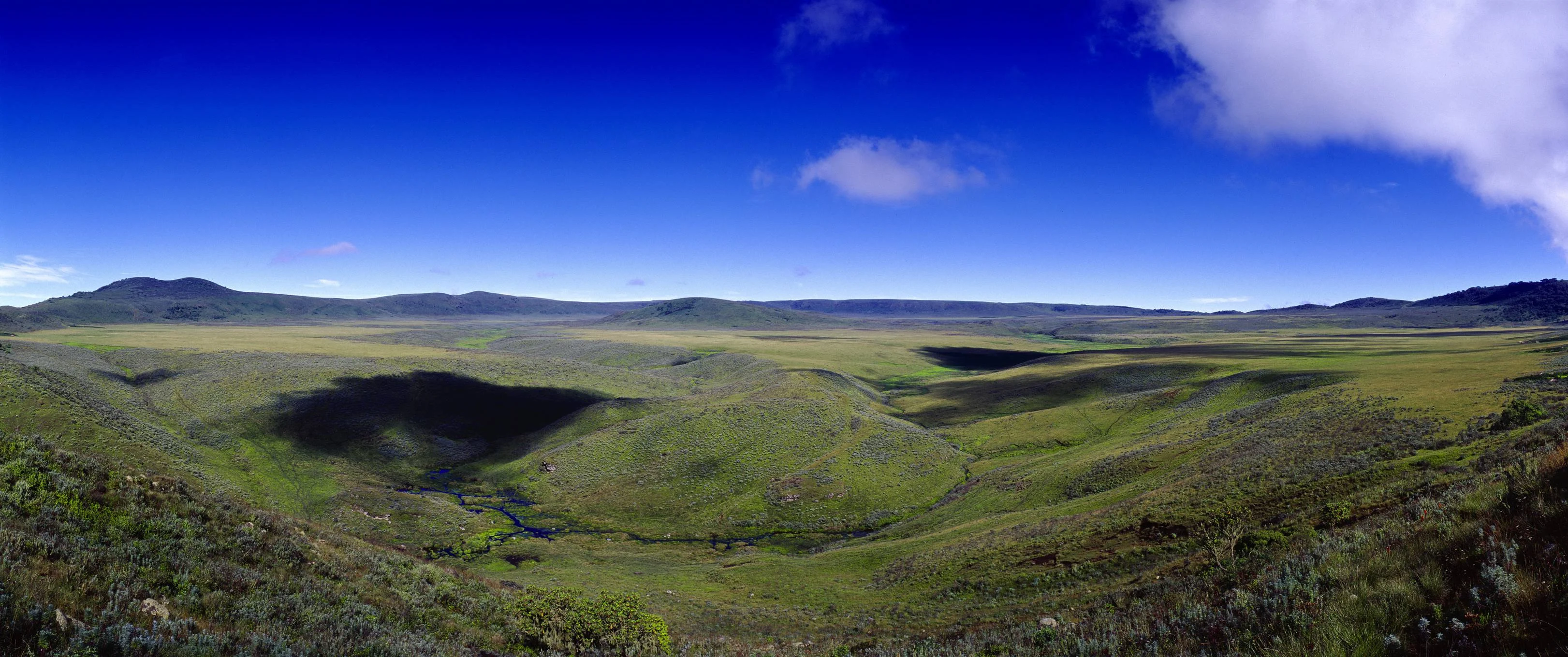
Olmoti Crater offers an intimate way to explore the Ngorongoro highlands on foot. Green slopes, a grassy crater interior and the Munge River create a rewarding setting for travellers who want to step beyond the safari vehicle and spend time with the landscape. The experience combines a mountain walk with opportunities to observe birds, notice highland plants and learn how water and volcanic terrain shape the wider conservation area. A DISTINCT NGORONGORO HIGHLANDS EXPERIENCE Olmoti lies within the Ngorongoro Conservation Area in northern Tanzania. It is a separate crater from the much larger Ngorongoro Crater and from Empakaai. The Maasai name Olmoti is commonly translated as “cooking pot,” reflecting its crater form. A grassy basin, streams and wooded slopes give the landscape its character. Its appeal centres on a guided highland walk rather than a vehicle game drive. Choose it when your itinerary has room for an active outing, and allow enough time for the drive to the trailhead, the walking programme and the return journey. The highlands can feel cool even when lower parts of your safari route are warm. THE WALK FROM NAINOKANOKA The recognised hiking starting point is Nainokanoka Ranger Station. From there, the route climbs towards the crater rim, with a fairly steep section that should be considered when judging suitability. The ascent brings the landscape into view gradually, and a comfortable pace leaves time to appreciate both the scenery and the details beside the trail. Walking distance, duration and the final turnaround point should be agreed around the approved route, your fitness and conditions on the day. THE MUNGE RIVER AND WATERFALL The Munge River is one of Olmoti's defining features. It leaves the crater through an outlet associated with the waterfall and continues into the Ngorongoro system towards Lake Magadi. The documented walking route can include a rocky descent towards the river outlet and falls. This section needs particular care and may not suit every visitor. Follow the ranger's chosen approach and instructions, and confirm which viewpoints or waterfall sections are included in your programme. Water flow, weather and access conditions can change the experience. WILDLIFE, BIRDS AND HIGHLAND PLANTS Olmoti's grassland and surrounding habitats support wildlife such as buffalo, eland and Bohor reedbuck. These are possible sightings rather than a guaranteed checklist, and the presence of large animals is one reason walks are carefully managed. Birds and flowering plants provide further interest; sunbirds are among the birds associated with the area. A slower pace helps you notice smaller subjects as well as the broad crater view. Carry binoculars if birdwatching is important, and photograph flowers without picking or trampling them. BOOKING, RANGERS AND PERMITTED ROUTES Ngorongoro Conservation Area Authority guidance requires walks in the conservation area to be accompanied by an armed ranger and booked in advance. Plan the ranger arrangements as part of your trip rather than arriving with the expectation of a self-guided hike. Stay together, follow authorised paths and allow the ranger to decide how to respond to weather, wildlife or changing trail conditions. Access to a viewpoint or a particular descent should never be assumed simply because it appears in a route description. FITNESS AND WALKING CONDITIONS Olmoti is best suited to visitors comfortable with uphill walking and uneven ground. A shorter route can still feel demanding when the path is steep, slippery or affected by the highland elevation. Tell your planner about your walking experience, preferred pace and mobility needs. Children require a suitable route and close supervision; suitability should be assessed for the actual programme. Ask about the ascent, rocky sections and return climb, and be willing to turn back if the ranger judges conditions unsuitable. SEASONS AND WHAT TO BRING June to October is generally a practical drier period for walking, though the highlands can still experience mist, wind and showers. Long rains around March to May and short rains around October to December can make paths wet and affect road access. January and February may offer another useful window, depending on the year. Wear shoes or boots with dependable grip and carry rain protection, a warm layer, water, snacks and sun protection. Keep cameras dry and leave enough space in your daypack for layers as conditions change. BUILDING THE ITINERARY Olmoti can complement a Ngorongoro wildlife safari or a longer highlands walking journey. Combining it with another crater requires realistic road and walking time rather than assuming every attraction fits comfortably into one day. Your overnight base, conservation-area access and ranger availability all influence the schedule. Confirm accommodation and any picnic arrangements before travelling, and do not rely on refreshments or toilets being available along the trail. PLAN YOUR OLMOTI VISIT TanzaLux Safaris can help arrange a programme suited to your interests and walking ability. Request a clear quotation covering conservation-area access, any activity charges, the armed ranger, guiding, transport, accommodation and meals as applicable. Allow time for both the landscape and the walk itself, and keep flexibility for weather. An Olmoti visit is most rewarding when the route, pace and logistics are planned carefully enough for you to enjoy the highlands without rushing.
March–May usually brings the long rains. The highlands can be green and atmospheric, but muddy paths, slippery rock and difficult road conditions may affect the walk. Confirm conditions with your planner and ranger, keep the programme flexible and carry waterproof layers. Heavy rain may require changing the route or date; a waterfall descent should depend on the ranger’s assessment.
January–February may provide a useful walking window between wetter periods. Short rains commonly affect October–December, when showers, mist and wet paths can change the programme. Seasonal vegetation can be attractive for photography, but clear crater views and wildlife sightings are never guaranteed. Check recent conditions and allow flexibility in both the drive and walk.
June–October is generally a practical drier period for hiking. Highland mornings can feel cold, and wind, mist or occasional rain remain possible. Wear layers and carry rain protection even in drier months. Confirm the armed ranger and access arrangements ahead of travel, and plan the day around a comfortable walking pace and realistic transfer time.
Olmoti Crater is reached by road within the Ngorongoro Conservation Area, with the recognised hike beginning at Nainokanoka Ranger Station. Visits are usually planned as part of a northern Tanzania safari or highlands itinerary. For travellers coming from Arusha or Karatu, arrange a suitable vehicle, conservation-area entry and the onward highland transfer rather than treating Olmoti as an independent roadside stop. The actual journey time depends on your overnight base, gate procedures, the chosen road and weather. Highland roads may require a suitable four-wheel-drive vehicle, especially when wet. Book the walking activity and armed ranger in advance, confirm the exact meeting point and agree the permitted route and expected return time. Kilimanjaro International Airport can serve a wider itinerary, followed by road travel via Arusha or another confirmed base. Do not schedule a tight flight connection immediately after the hike. If combining Olmoti with Ngorongoro Crater or Empakaai, confirm both the road transfers and separate activity arrangements, and allow enough time for each experience.
Olmoti is in the Ngorongoro Conservation Area in northern Tanzania, within the Ngorongoro highlands. It is generally visited as part of a planned safari or walking itinerary. Road access, conservation-area entry and the ranger-led hike should be arranged together.
No. They are separate craters within the wider conservation area. Ngorongoro Crater is known for vehicle-based wildlife viewing, while an Olmoti visit focuses on a guided highland walk, crater scenery and the Munge River and waterfall route.
Olmoti and Empakaai are distinct highland destinations with different walking routes and features. Olmoti is associated with the Munge River outlet and waterfall. Do not substitute one crater’s itinerary or access arrangements for the other; ask for a programme that identifies each visit clearly.
The recognised starting point is Nainokanoka Ranger Station. Confirm the meeting time, vehicle drop-off, ranger booking and planned route before arrival. Your walking programme should reflect your pace and the current weather and trail conditions.
Yes. Ngorongoro Conservation Area Authority guidance requires conservation-area walks to be accompanied by an armed ranger and booked in advance. Your planner should confirm the ranger arrangement before travel. This is an organised hike rather than a self-guided walking excursion.
The waterfall is associated with the Munge River as it leaves Olmoti through the crater outlet. The river continues towards the Ngorongoro system and Lake Magadi. A visit may include an approved approach or viewpoint, depending on the booked route and conditions.
The documented route includes a rocky descent towards the Munge River outlet and falls, but the sections available to you must be confirmed with the ranger. Follow the approved programme and do not explore independently. Weather, wildlife and your walking ability may affect the final route.
The climb towards the rim is fairly steep, and a waterfall approach can involve rocky ground. It suits visitors comfortable with uphill walking and uneven surfaces. Share your experience and preferred pace when booking, and ask about the ascent, descent and available turnaround options.
Duration depends on the starting location, route, pace, stops and road transfers. Agree an indicative walking time with your planner for the specific programme, then allow extra time for weather and observation. Avoid assuming the entire excursion has one fixed duration.
The highland setting can make uphill walking feel more tiring than a similar distance at lower elevations. Start at a manageable pace and communicate with your ranger if you need a break. Ask about the route’s elevation and exertion before deciding whether it suits you.
June–October is generally a practical drier window for walking. January–February may also be useful depending on the year. Mist, wind and showers can occur in the highlands at other times too, so recent local conditions should guide the final itinerary.
A visit may be possible when the ranger and access conditions allow, but the long and short rains can make paths and roads difficult. Keep the programme flexible and carry rain protection. A steep or rocky section may need to be omitted, or the outing rescheduled after heavy rain.
Buffalo, eland and Bohor reedbuck are among the documented wildlife associated with Olmoti. Sightings are unpredictable, and the hike should be enjoyed for scenery and nature as well as animals. Stay with the ranger and follow instructions during any wildlife encounter.
Yes. Highland birds, including sunbirds, and flowering plants add interest to the walk. Bring binoculars and allow time for quiet stops. Flowering varies with the season; photograph plants without picking them or leaving the authorised path.
Suitability depends on the children’s ages, stamina and the exact route. A steep climb or rocky descent may be unsuitable for some families. Provide details when booking and request a programme assessed for your group, with close supervision and a pace that suits the youngest walker.
The walking route can include slopes, uneven ground and rocky sections, so wheelchair access or step-free paths cannot be assumed. Explain specific needs in advance and request a current assessment of both the trail and the vehicle drop-off point.
Arrange a road itinerary into the Ngorongoro Conservation Area and onward to Nainokanoka, using a vehicle suitable for the highland roads. Travel time varies with your base, gate procedures and weather. Confirm entry, ranger booking, pickup and return logistics together.
Yes, it can form part of a wider safari or highlands journey, but combinations need realistic road and walking time. Ngorongoro Crater and Empakaai have their own activity arrangements. Ask your planner to build a schedule that leaves enough time for each visit and your chosen overnight base.
Do not rely on trail-side facilities or refreshments. Confirm any picnic, water provision and toilet arrangements before departure. Overnight stays should use a confirmed lodge or separately authorised camp elsewhere in the conservation area. Do not assume camping inside Olmoti Crater is available.
Bring footwear with grip, a warm layer, rain protection, water, snacks, sun protection and a daypack; binoculars are useful. Request a quotation showing conservation-area entry, walking or activity charges, the armed ranger, guiding, transport, meals and accommodation as applicable. Current fees and inclusions should be confirmed before travel.
Grateful experience
As a solo female traveler, I felt super safe and well taken care of the entire time.
Read morePrivate Safari 6 days
I can only highly recommend the young company Tanzalux for organizing a private safari.
Read moreAn unforgettable vegetarian journey with Tanzalux Safaris
I highly recommend Tanzalux for anyone wanting a special, personalized safari.
Read moreOur 3-day camping safari with Tanzalux was simply fantastic! Everything was perfectly organized.
Read moreBack in April, I joined a day trip to Tarangire National Park with Tanzalux Safaris, and it was truly one of the best experiences I have ever had…
Read moreI've had an amazing experience with Tanzalux Safaris, would 1000% recommend! Thank you for making my trip so special🫶
Read moreI recently visited Meru Waterfalls in Arusha and got to do some of the activities there, honestly it was such a great experience and I really enjoyed it.
Read moreOur guide Dullah Mr Rastaman had the best vibe. I would like to recommend other people not to miss it, Tarangire is the best national park.
Read moreOur tour guide Nasri was very friendly and welcoming from the first day we met him. He knows Tarangire very well and explained many things during the safari.
Read moreAs a grandmother in the group, I would like to share my happiness with Tanzalux Safaris. Me, my daughters, and my grandson went on a short trip to Tarangire National Park…
Read moreReceive a free, no obligation quote

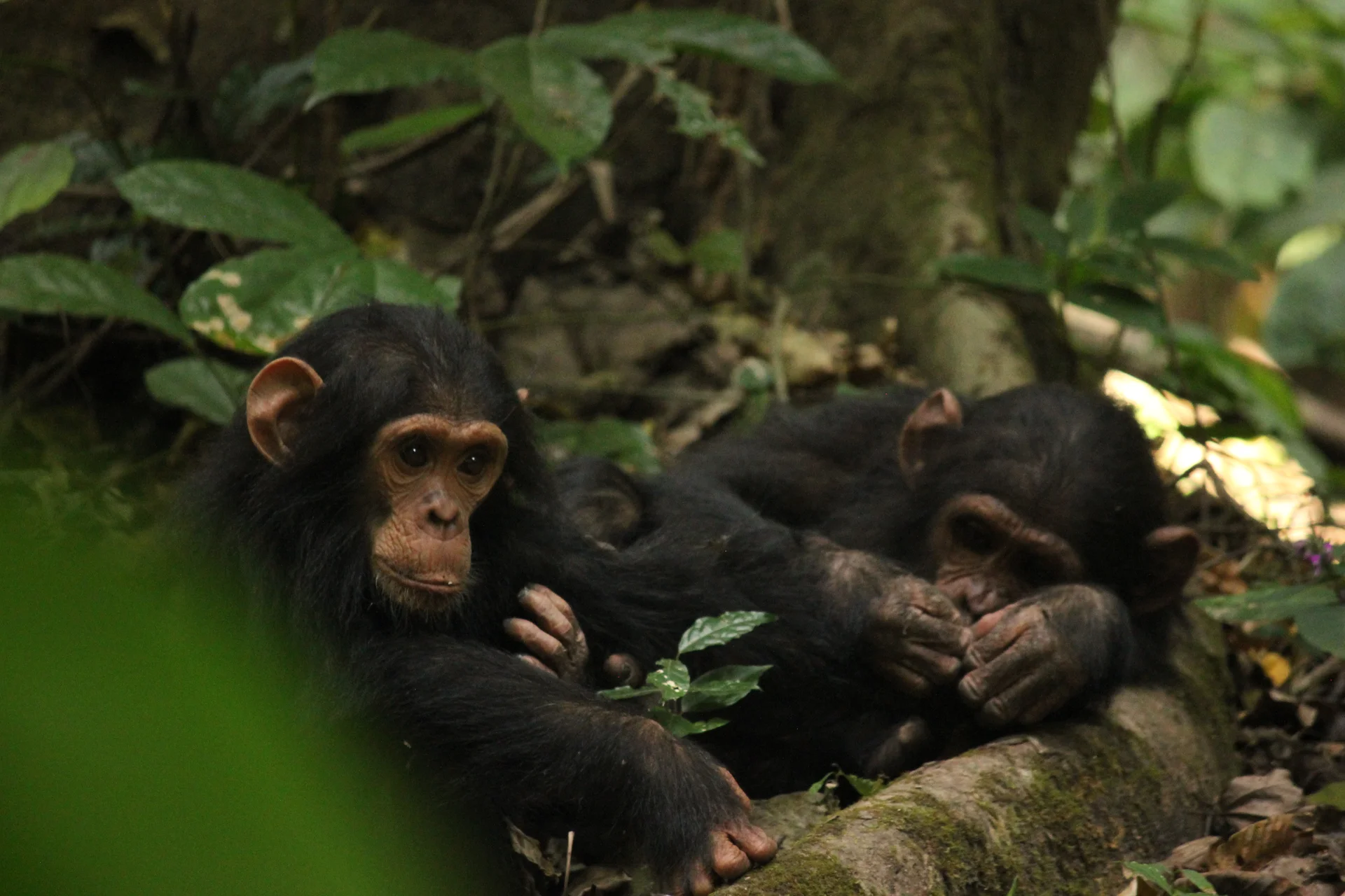 Western Circuit
Gombe Stream National Park, also known as Gombe National Park, combines wild chimpanzee trekking with forested hills and the shores of Lake Tanganyika. In Kigoma…
Wildlife
Chimpanzees & Olive baboons
Landscape
National Parks & Safari
Highlights
Wild chimpanzee trekking with park rangers
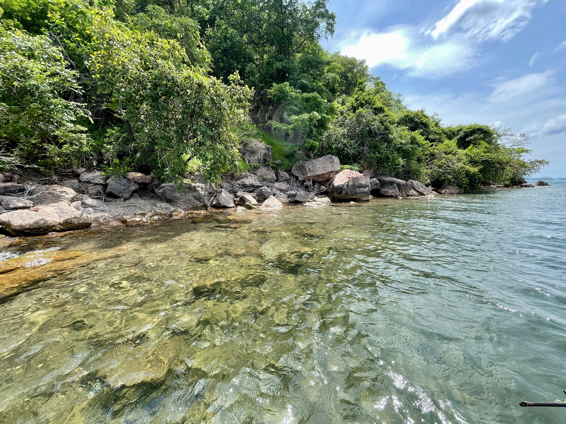 Southern Circuit
Lake Tanganyika offers a striking freshwater setting along Tanzania’s western frontier: broad blue horizons, wooded shores, bays, beaches and communities whose daily life is closely…
Wildlife
Endemic cichlid fish & Other freshwater fish
Landscape
Lakes & Hot Springs
Highlights
Africa’s deepest freshwater lake in the East African Rift
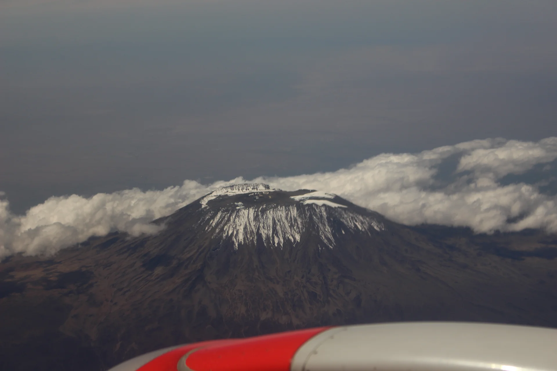 Northern Circuit
Kilimanjaro rises above northern Tanzania’s plains to Uhuru Peak at 5,895 metres, the highest point in Africa. Its volcanic massif, dramatic changes in vegetation and…
Wildlife
Black-and-white colobus monkeys in forest habitats & Blue monkeys in forest habitats
Landscape
Mountains & Trekking
Highlights
Uhuru Peak at 5,895 metres — Africa’s highest point
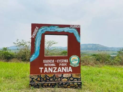 Western Circuit
Ibanda-Kyerwa National Park protects a scenic corner of northwestern Tanzania, where the Kagera River meets a landscape of savanna, wooded slopes, valleys and wetlands. Situated…
Wildlife
Buffalo & Roan antelope
Landscape
National Parks & Safari
Highlights
Kagera River scenery on Tanzania’s northwestern border
 Zanzibar & Islands
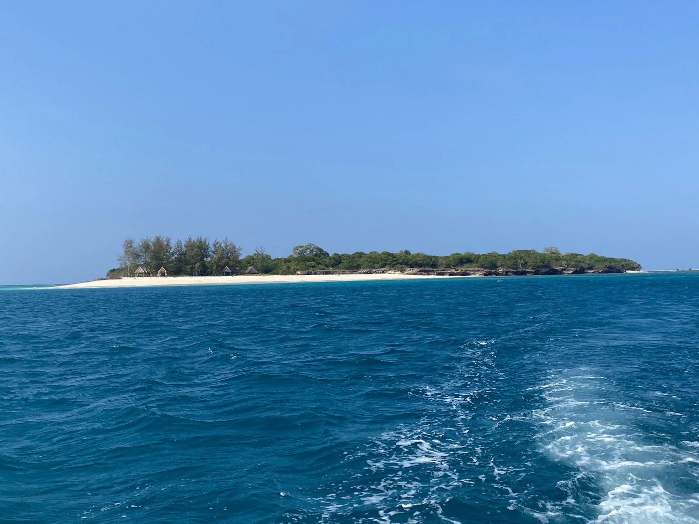
Sinda Island Marine Reserve offers an Indian Ocean escape off Kigamboni, on the southern side of Dar es Salaam. The reserve encompasses Inner and Outer…
Wildlife
Reef fish & Coastal birds
Landscape
Beaches & Islands
Highlights
Inner and Outer Sinda islands
 Northern Circuit
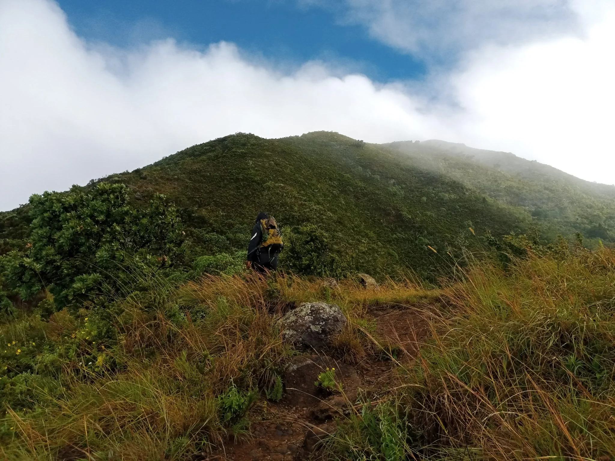
Discover Mount Hanang Rising above Katesh in Tanzania’s Manyara Region, Mount Hanang offers a rewarding mountain adventure beyond the familiar northern safari circuit. At approximately…
Wildlife
Klipspringer & Vervet monkeys
Landscape
Mountains & Trekking
Highlights
Approximately 3,423 metres — Tanzania’s fourth-highest mountain