 5.0 Excellent

Dorine M1 year ago

Grateful experience
As a solo female traveler, I felt super safe and well taken care of the entire time.
Read more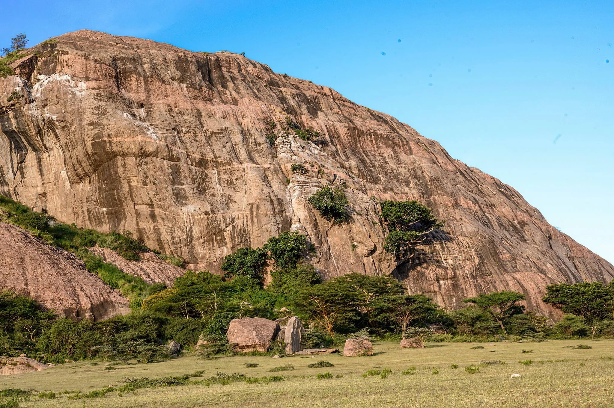
Northern Circuit
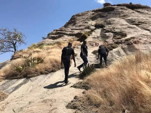
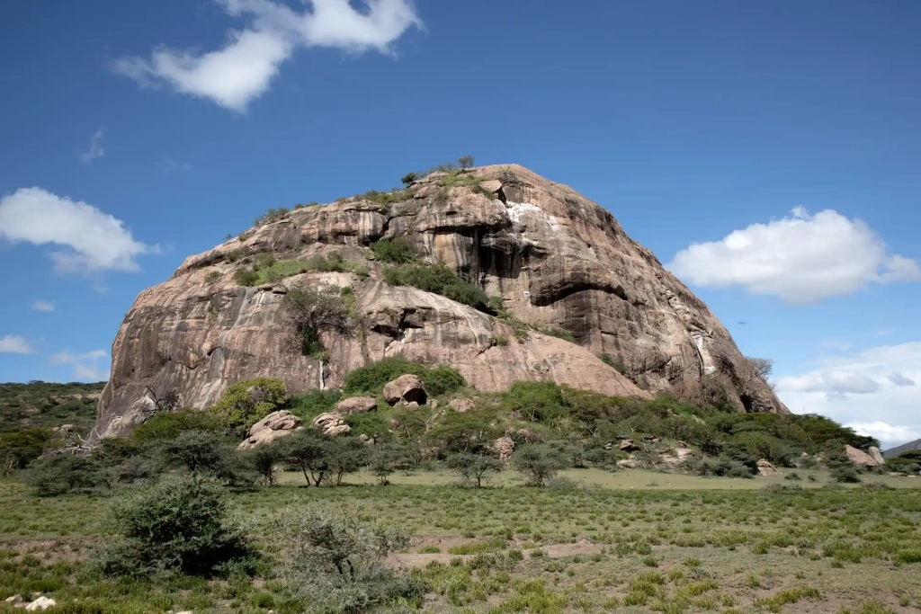
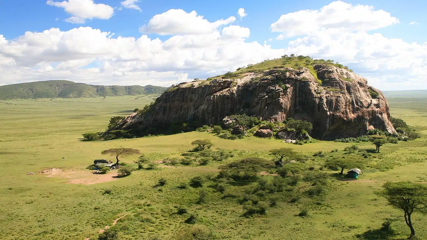
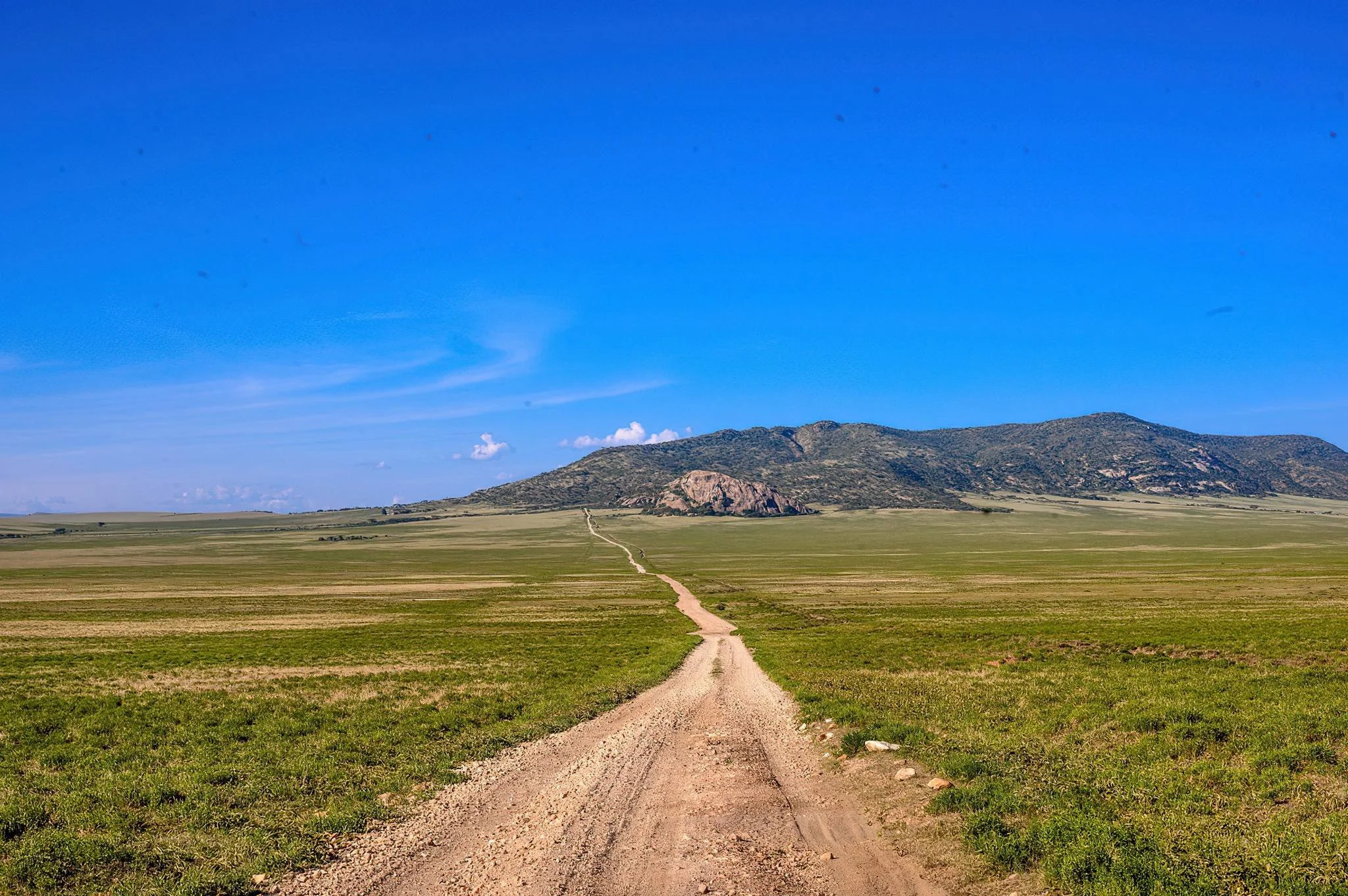
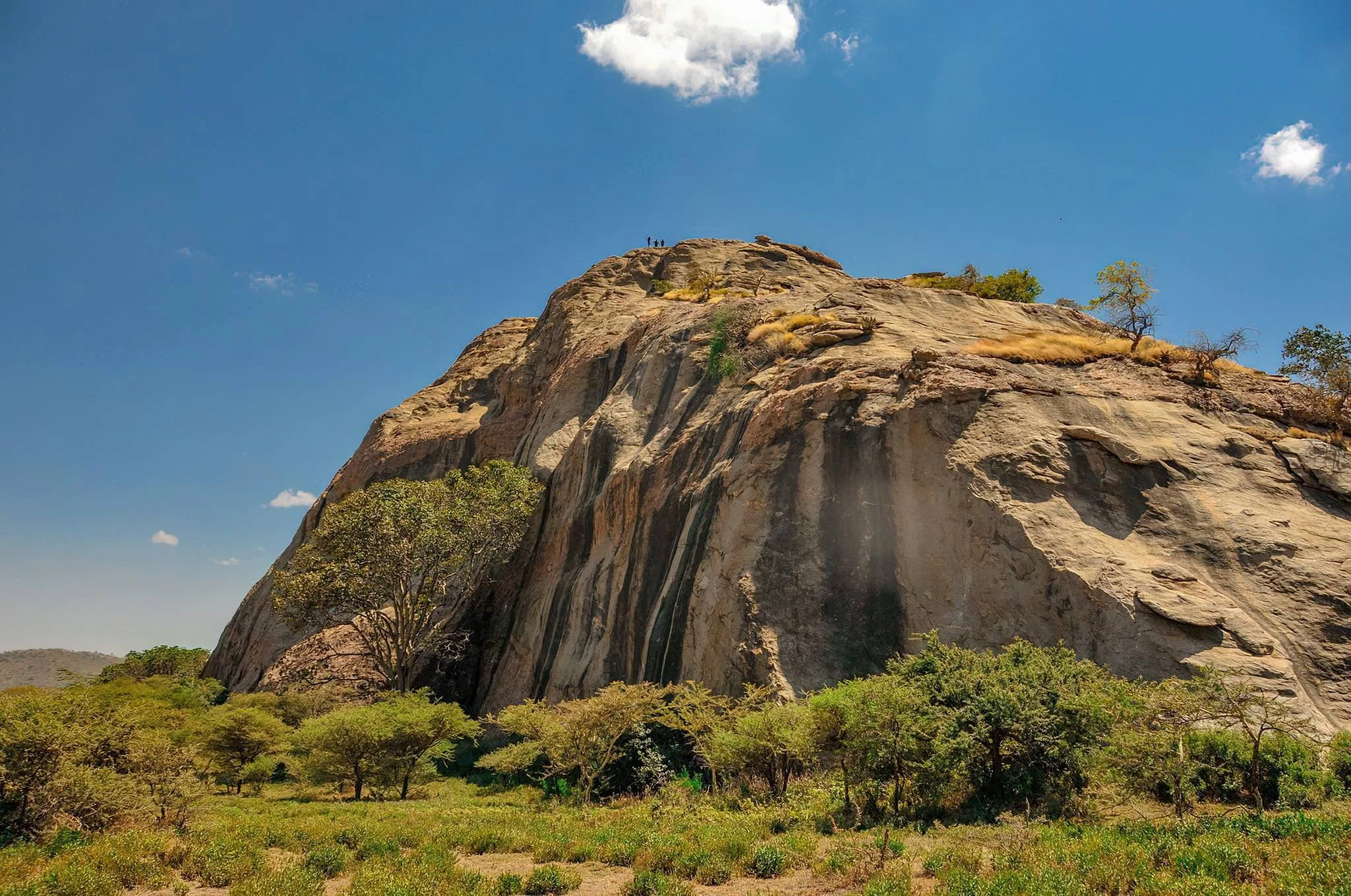
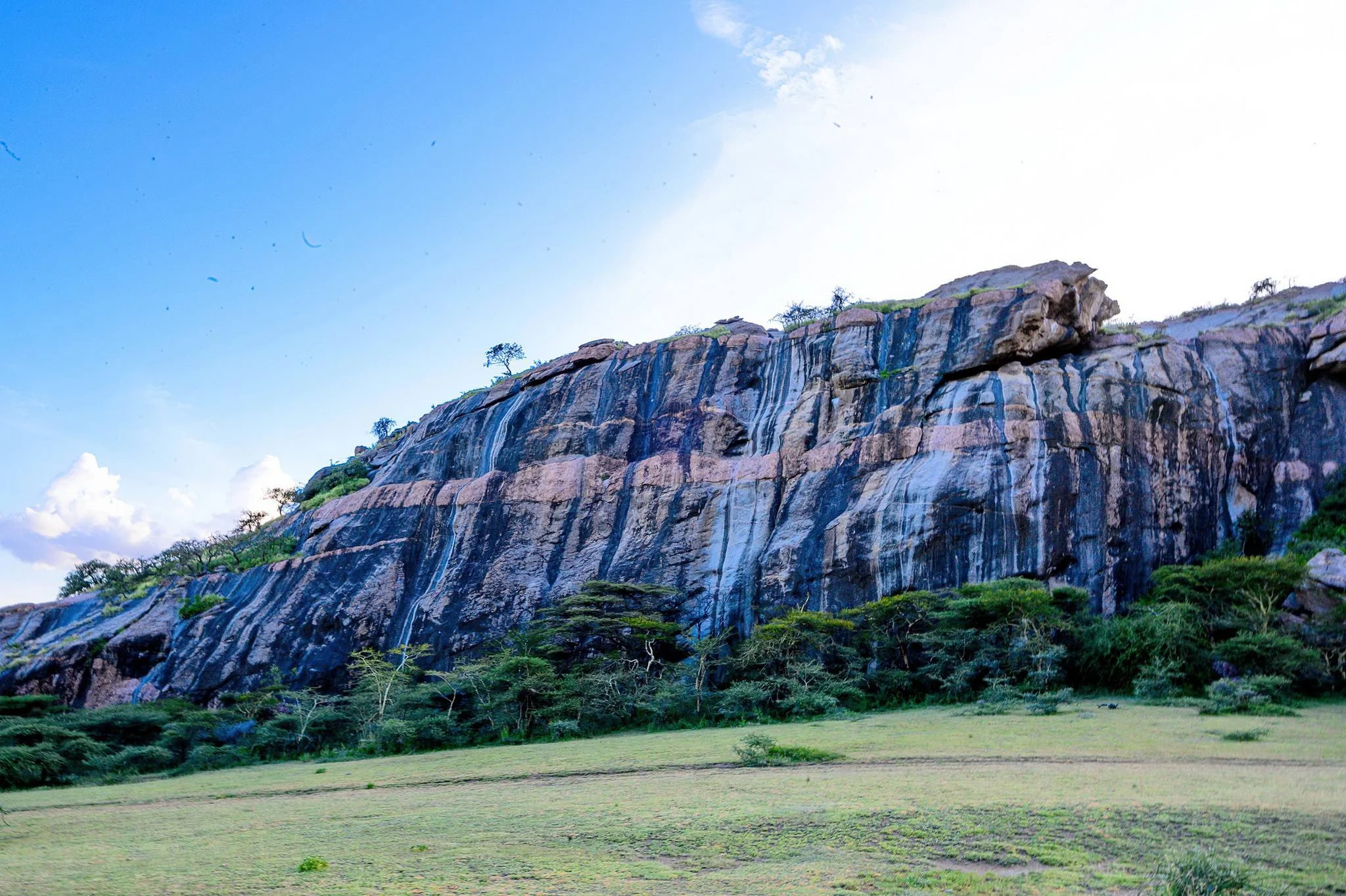
Nasera Rock is a striking inselberg rising from the open country near the southwestern Gol Mountains in the Ngorongoro Conservation Area. Its pale walls and pink mineral veins contrast with the surrounding plains, creating a distinctive geological landmark north of Olduvai Gorge. At its base, a shallow rock shelter preserves evidence of people using this landscape across a long sequence of prehistoric and later periods. A well-planned visit brings together scenery, earth science and archaeology, adding depth to a northern Tanzania safari. The rock is also known as Soit Nasera, while archaeological publications refer to Nasera Rockshelter. The names describe related parts of the same destination: the prominent outcrop and the sheltered space studied at its base. Nasera is within the conservation area near the eastern Serengeti ecosystem, rather than a separate national park. Its setting is part of the Ngorongoro Lengai UNESCO Global Geopark’s North Route, which connects the Olduvai area with ancient hills, rock formations and the Gol Mountains. Official visitor descriptions place the inselberg at approximately 50 metres high. An inselberg is an isolated rocky hill or outcrop that remains conspicuous as surrounding material is eroded. Nasera’s pale rock is metamorphic gneiss, with visible layering crossed by pink granitic pegmatite. The pegmatite contains comparatively large crystals of feldspar, quartz and mica. These contrasting rocks formed through processes deep within the Earth’s crust and were later exposed by prolonged erosion. They are part of an ancient crystalline landscape whose history reaches back hundreds of millions of years. This geological age must be kept separate from the age of human activity in the shelter. Nasera is not a young volcanic cone or a lava flow, and its archaeological importance does not mean people lived there when the basement rocks first formed. Erosion also shaped sheltered spaces near the base. The studied rockshelter on the northern face offered a place where sediment and traces of occupation accumulated over time, leaving a layered record for archaeologists to investigate. The archaeological sequence spans the Middle Stone Age, Later Stone Age and later pastoral occupations. Excavations have recovered stone tools, animal remains and ceramics from different layers. These materials help researchers examine technological change, movements through the landscape and the use of grassland resources. The layers represent different periods and activities; they should not be described as one uninterrupted settlement with a single founding date. Nasera’s occupation history extends back tens of thousands of years. A recent study places one investigated Later Stone Age layer at around 47,000 years ago, with uncertainty in the date, while older Middle Stone Age deposits lie beneath it. This is more informative than reducing the whole shelter to a fixed “30,000-year-old site.” Scientific dates belong to particular deposits and are refined as research develops. Louis Leakey excavated Nasera in 1932, Michael Mehlman undertook major excavations in 1975–1976, and more recent work has continued to examine the sequence. A visitor experience should focus on interpretation and careful observation. A knowledgeable guide can explain the rock’s contrasting materials, the difference between geological and archaeological timescales, and the importance of preserving the shelter’s deposits. Do not assume archaeological objects are laid out as an exhibition, that research trenches are open to visitors or that excavation participation is included. Follow the indicated viewing route and leave sediment, rocks and possible artefacts undisturbed. Visible marks should not automatically be presented as authenticated ancient rock art without reliable identification and dating. The surrounding landscape also provides wildlife interest. Research has recorded baboons, klipspringers and rock hyraxes among the local fauna. During wetter periods, migratory wildebeest, zebra and gazelles may move through the nearby grasslands, with other wildlife encountered along the approach. Birdwatching is a possible addition, but there is no guaranteed species list for a brief visit. Nasera is principally a geological and archaeological excursion; its value should not depend on a promised migration gathering or predator sighting. Arrange the excursion with a guide and a suitable safari vehicle, confirming conservation-area access and the permitted route in advance. Walking within the conservation area requires prior arrangements and armed ranger support. A short vehicle-based viewing stop and a longer guided walk have different logistics, so explain the experience you want when booking. Rock climbing is mentioned in official tourism information, but that does not establish an easy summit trail or unrestricted access. Any climbing should depend on current permission, suitable guidance, equipment, ability and conditions; scenic viewing does not require a summit ascent. Generally drier conditions from June to October can make track travel and authorised walks more practical. January and February may also suit an excursion and can coincide with migratory wildlife on the broader plains. Long rains commonly occur from March to May, while shorter rains may affect the region from October to December. Rain can make tracks and rock surfaces more difficult, and local conditions should determine the final route. Carry water, a hat, sunscreen and sturdy closed footwear, and allow for exposed sun, wind and uneven ground. Discuss walking distance, vehicle access, steep or slippery sections and available assistance before booking, especially for families or visitors with limited mobility. Do not assume toilets, refreshments, equipment hire or organised camping facilities exist at the rock itself. Plan comfort stops and any authorised picnic with the guide, and use suitable accommodation elsewhere along your conservation-area or Serengeti itinerary. Ask for current costs that explain transport, guiding, conservation access and any walking, ranger or specialist activity arrangements. Nasera can complement Olduvai Gorge and Museum, Shifting Sands and Olkarien Gorge when a realistic route allows time for each stop. These are separate attractions, and a visit to one does not automatically include access to the others. The Ngorongoro Crater and Serengeti National Park may also be part of the broader safari, with their own permits and activity arrangements. Allow enough time for interpretation and travel rather than trying to turn the geological North Route into a hurried checklist. Nasera rewards visitors who pause to connect the ancient rock, the shelter and the changing plains around it.
March–May: the long-rain period can bring green plains and wildlife interest, but muddy tracks and slippery rock or walking surfaces may complicate access. Confirm conditions with local guides and keep the itinerary flexible. A geological visit, a walking route and a climbing activity should each be assessed separately.
November–February can offer changing scenery as short rains refresh the plains and migratory animals move through the wider region. January and February may provide useful conditions between rainy periods, but weather and herd locations vary. Ask for a current route assessment and plan around the cooler parts of the day where practical.
June–October is generally the drier period and can make track travel and arranged walking more practical. Expect exposed sun, wind and possible dust; bring water and sun protection. Migration herds may be elsewhere, so focus on the rock, shelter interpretation and local wildlife. Drier weather does not guarantee climbing permission or suitable surfaces.
Nasera Rock lies north of Olduvai Gorge near the southwestern Gol Mountains, within the Ngorongoro Conservation Area. It is an additional excursion on the eastern side of the Serengeti ecosystem, not an automatic stop included in every Olduvai or crater visit. Kilimanjaro International Airport and Arusha are common gateways for a northern Tanzania safari. Arrange onward travel with a knowledgeable guide and a suitable 4WD safari vehicle. The Ngorongoro Lengai Geopark’s North Route begins at Loduare Gate and connects Olduvai-area attractions with Nasera and the Gol Mountains. Your operator should confirm the permitted approach, conservation-area access and any onward Serengeti National Park arrangements. Driving time depends on your accommodation, route, stops, rain and track conditions. Published distance figures use different reference points, so request an itinerary-specific travel estimate rather than relying on a fixed transfer time. There is no verified direct public-transport service or dedicated airport transfer to assume for the rock itself. If walking is planned, arrange the required guide and armed ranger in advance. Ask separately about any proposed climbing permission, guidance and equipment. Confirm the distance from the vehicle, ground conditions, mobility assistance, comfort stops and picnic arrangements before leaving your lodge or camp. Build a realistic schedule if combining Nasera with Olduvai Gorge, Shifting Sands or Olkarien Gorge.
Nasera is north of Olduvai Gorge near the southwestern Gol Mountains in northern Tanzania. It lies within the Ngorongoro Conservation Area near the eastern Serengeti ecosystem.
The Nasera destination is within the Ngorongoro Conservation Area. Its proximity to the Serengeti ecosystem does not remove the administrative boundary. Confirm permits for the actual route, especially if continuing into the national park.
These names refer to the same broader destination. Soit Nasera is another name used for the rock, while Nasera Rockshelter usually refers to the archaeological shelter studied at its base.
Official geopark and tourism descriptions give an approximate height of 50 metres. Treat this as the scale of the landmark, rather than a description of an easy or automatically accessible climbing route.
An inselberg is an isolated rocky hill or outcrop standing prominently above the surrounding landscape. Nasera is an example of ancient rock exposed and shaped by prolonged erosion.
No. Its principal rock is metamorphic gneiss crossed by granitic pegmatite. These crystalline rocks formed through processes deep in the crust and were later exposed at the surface.
The pink material is granitic pegmatite cutting across the paler gneiss. Large crystals of feldspar, quartz and mica help make the contrast visible and provide a useful focus for geological interpretation.
The geological rock history reaches back hundreds of millions of years. The archaeological occupation deposits are much younger, extending back tens of thousands of years. These two timescales describe different parts of the destination’s story.
The shelter preserves a layered sequence spanning the Middle Stone Age, Later Stone Age and later pastoral occupations. Stone tools, animal remains and ceramics help researchers investigate changes in technology and use of the landscape.
Dates vary by layer. One recently studied Later Stone Age layer dates to around 47,000 years ago, with uncertainty, and older Middle Stone Age deposits occur beneath it. There is no single precise founding date or demonstrated uninterrupted occupation.
Louis Leakey excavated the site in 1932, and Michael Mehlman conducted major work in 1975–1976. Subsequent researchers have continued investigating its deposits and chronology, including recent fieldwork and dating studies.
Do not assume either is included. A visit can focus on the shelter’s setting and interpretation from permitted viewing positions. Research areas and archaeological material require protection, and access must follow current site guidance.
Do not automatically identify every visible mark as ancient art. Reliable interpretation requires evidence about the marking, its origin and age. Ask the guide for verified information rather than treating modern marks or graffiti as prehistoric paintings.
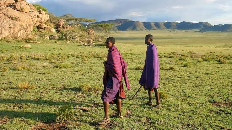
Research records baboons, klipspringers and rock hyraxes among local fauna. Other wildlife and birds may be encountered on the surrounding plains or approach, but a short visit does not guarantee particular species.
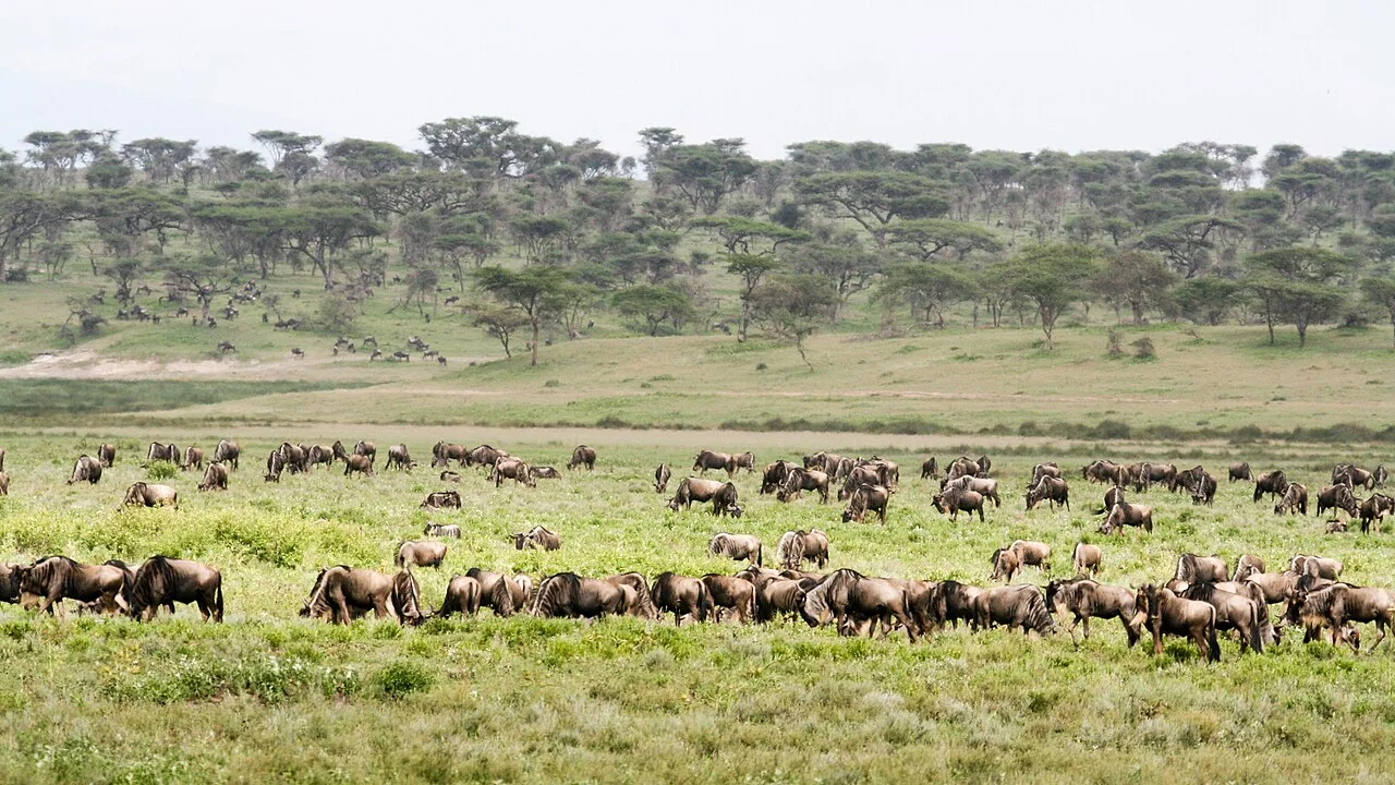
Migratory wildebeest, zebra and gazelles may pass through surrounding grasslands during wetter periods, roughly December–April. Rainfall and grazing affect their position, so do not expect a fixed herd gathering beside the rock.
Walking in the conservation area requires advance arrangements and armed ranger support, together with appropriate guiding and permission. Confirm the route, duration and conditions before booking, and do not wander independently among wildlife.
Official tourism lists climbing, but permission, route suitability, guidance and equipment must be confirmed for the proposed activity. Do not assume a simple summit trail or unrestricted climbing. Scenic and archaeological interpretation can be enjoyed without an ascent.
A guided viewing visit may suit families, but uneven ground, heat and any walking or climbing require careful planning. Confirm vehicle access, walking distance, available assistance and suitable viewing positions. Children should remain supervised and away from steep edges or research deposits.
Bring drinking water, sun protection, a hat, sturdy closed shoes and camera dust protection. Follow the guide’s route and leave sediment, rocks and possible artefacts undisturbed. Confirm comfort stops and facilities in advance rather than assuming they exist at the rock.
Olduvai Gorge and Museum, Shifting Sands and Olkarien Gorge can be considered on a realistic guided route. Ngorongoro Crater and Serengeti visits require their own arrangements. Ask for current fees, permits, transport and activity inclusions for the exact itinerary.
Grateful experience
As a solo female traveler, I felt super safe and well taken care of the entire time.
Read morePrivate Safari 6 days
I can only highly recommend the young company Tanzalux for organizing a private safari.
Read moreAn unforgettable vegetarian journey with Tanzalux Safaris
I highly recommend Tanzalux for anyone wanting a special, personalized safari.
Read moreOur 3-day camping safari with Tanzalux was simply fantastic! Everything was perfectly organized.
Read moreBack in April, I joined a day trip to Tarangire National Park with Tanzalux Safaris, and it was truly one of the best experiences I have ever had…
Read moreI've had an amazing experience with Tanzalux Safaris, would 1000% recommend! Thank you for making my trip so special🫶
Read moreI recently visited Meru Waterfalls in Arusha and got to do some of the activities there, honestly it was such a great experience and I really enjoyed it.
Read moreOur guide Dullah Mr Rastaman had the best vibe. I would like to recommend other people not to miss it, Tarangire is the best national park.
Read moreOur tour guide Nasri was very friendly and welcoming from the first day we met him. He knows Tarangire very well and explained many things during the safari.
Read moreAs a grandmother in the group, I would like to share my happiness with Tanzalux Safaris. Me, my daughters, and my grandson went on a short trip to Tarangire National Park…
Read moreReceive a free, no obligation quote

 Western Circuit
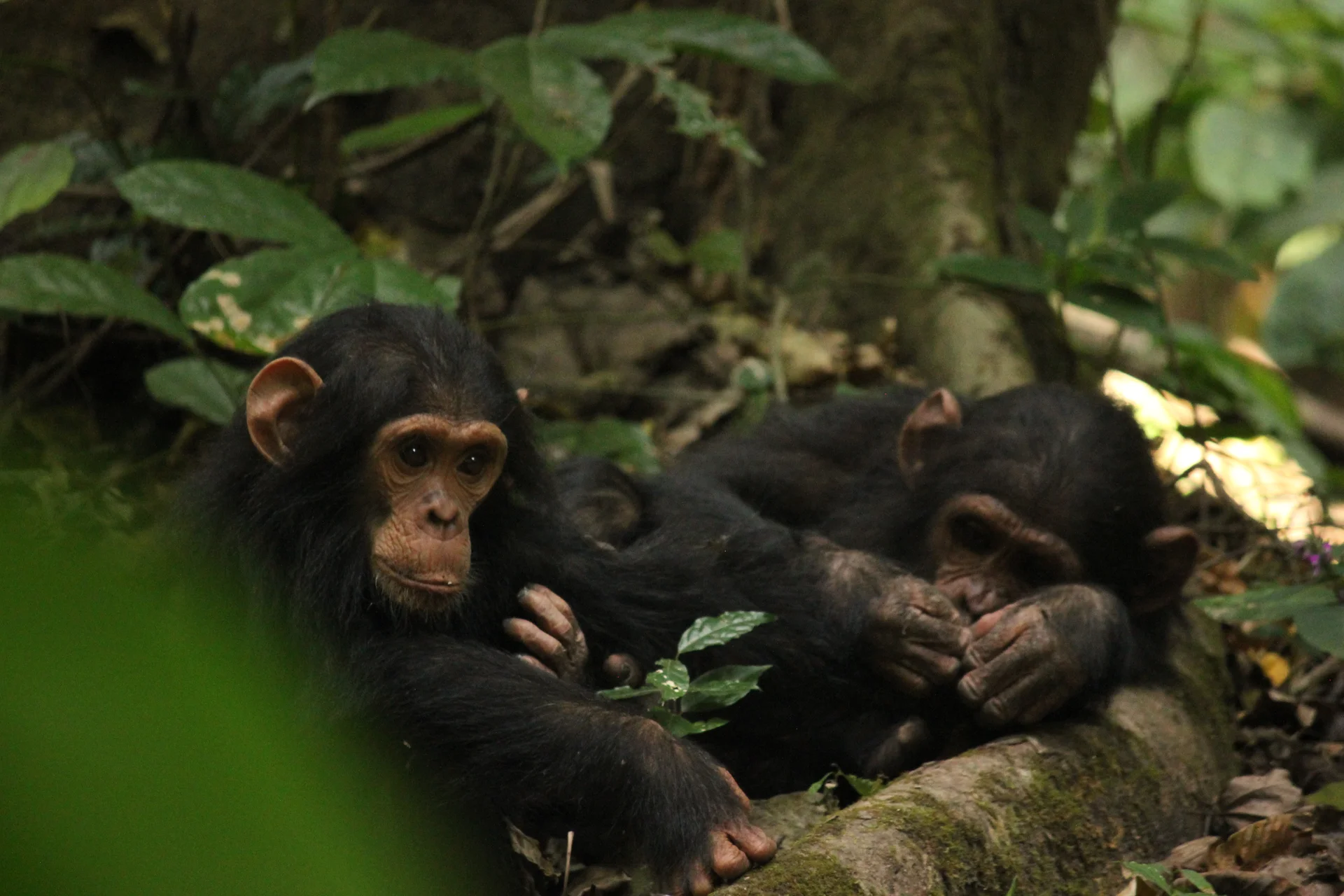
Gombe Stream National Park, also known as Gombe National Park, combines wild chimpanzee trekking with forested hills and the shores of Lake Tanganyika. In Kigoma…
Wildlife
Chimpanzees & Olive baboons
Landscape
National Parks & Safari
Highlights
Wild chimpanzee trekking with park rangers
 Southern Circuit
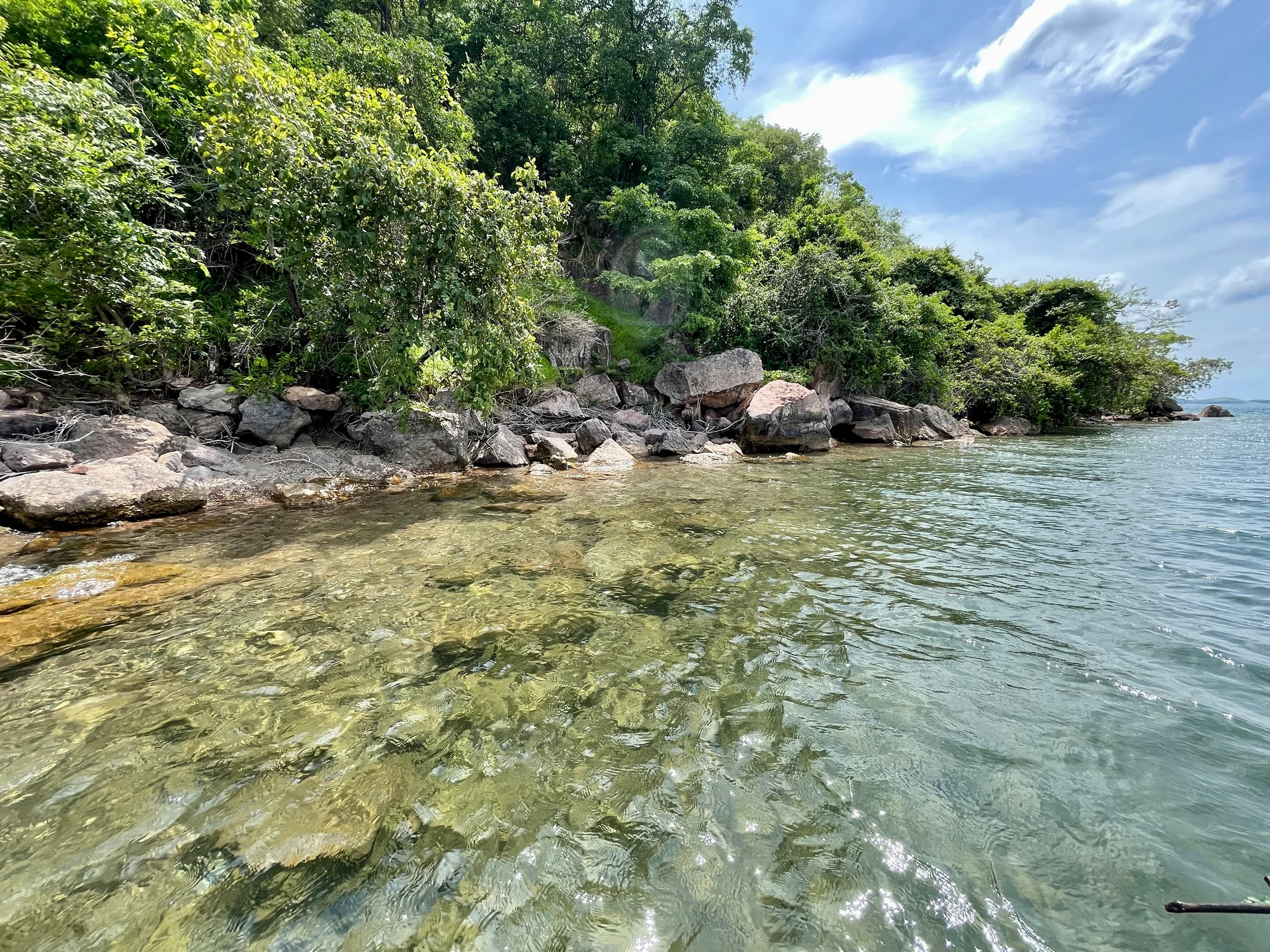
Lake Tanganyika offers a striking freshwater setting along Tanzania’s western frontier: broad blue horizons, wooded shores, bays, beaches and communities whose daily life is closely…
Wildlife
Endemic cichlid fish & Other freshwater fish
Landscape
Lakes & Hot Springs
Highlights
Africa’s deepest freshwater lake in the East African Rift
 Northern Circuit
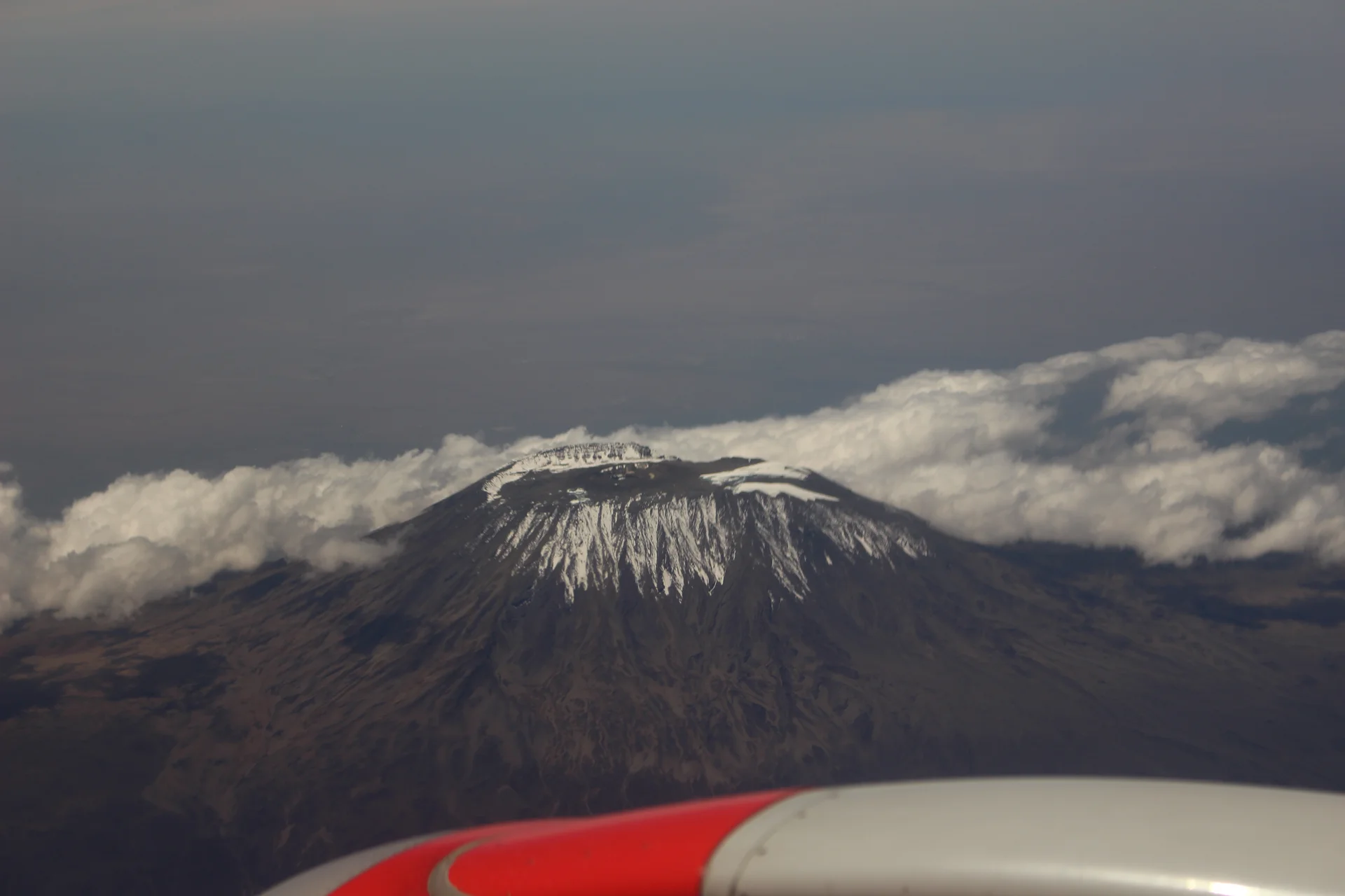
Kilimanjaro rises above northern Tanzania’s plains to Uhuru Peak at 5,895 metres, the highest point in Africa. Its volcanic massif, dramatic changes in vegetation and…
Wildlife
Black-and-white colobus monkeys in forest habitats & Blue monkeys in forest habitats
Landscape
Mountains & Trekking
Highlights
Uhuru Peak at 5,895 metres — Africa’s highest point
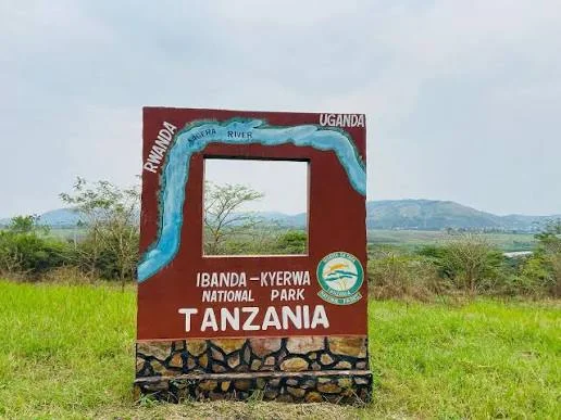 Western Circuit
Ibanda-Kyerwa National Park protects a scenic corner of northwestern Tanzania, where the Kagera River meets a landscape of savanna, wooded slopes, valleys and wetlands. Situated…
Wildlife
Buffalo & Roan antelope
Landscape
National Parks & Safari
Highlights
Kagera River scenery on Tanzania’s northwestern border
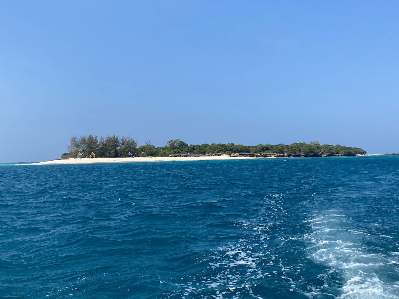 Zanzibar & Islands
Sinda Island Marine Reserve offers an Indian Ocean escape off Kigamboni, on the southern side of Dar es Salaam. The reserve encompasses Inner and Outer…
Wildlife
Reef fish & Coastal birds
Landscape
Beaches & Islands
Highlights
Inner and Outer Sinda islands
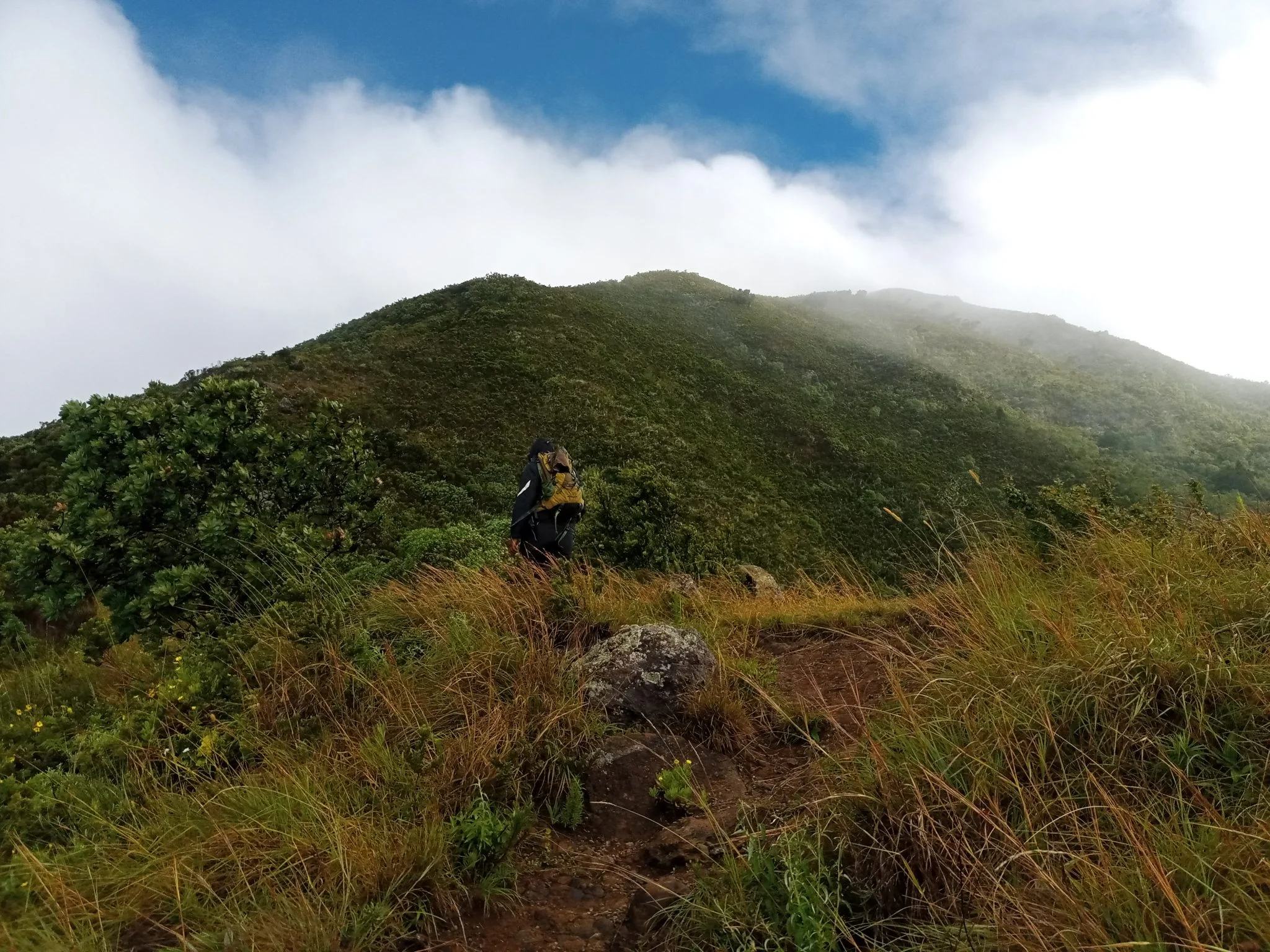 Northern Circuit
Discover Mount Hanang Rising above Katesh in Tanzania’s Manyara Region, Mount Hanang offers a rewarding mountain adventure beyond the familiar northern safari circuit. At approximately…
Wildlife
Klipspringer & Vervet monkeys
Landscape
Mountains & Trekking
Highlights
Approximately 3,423 metres — Tanzania’s fourth-highest mountain