 5.0 Excellent

Dorine M1 year ago

Grateful experience
As a solo female traveler, I felt super safe and well taken care of the entire time.
Read more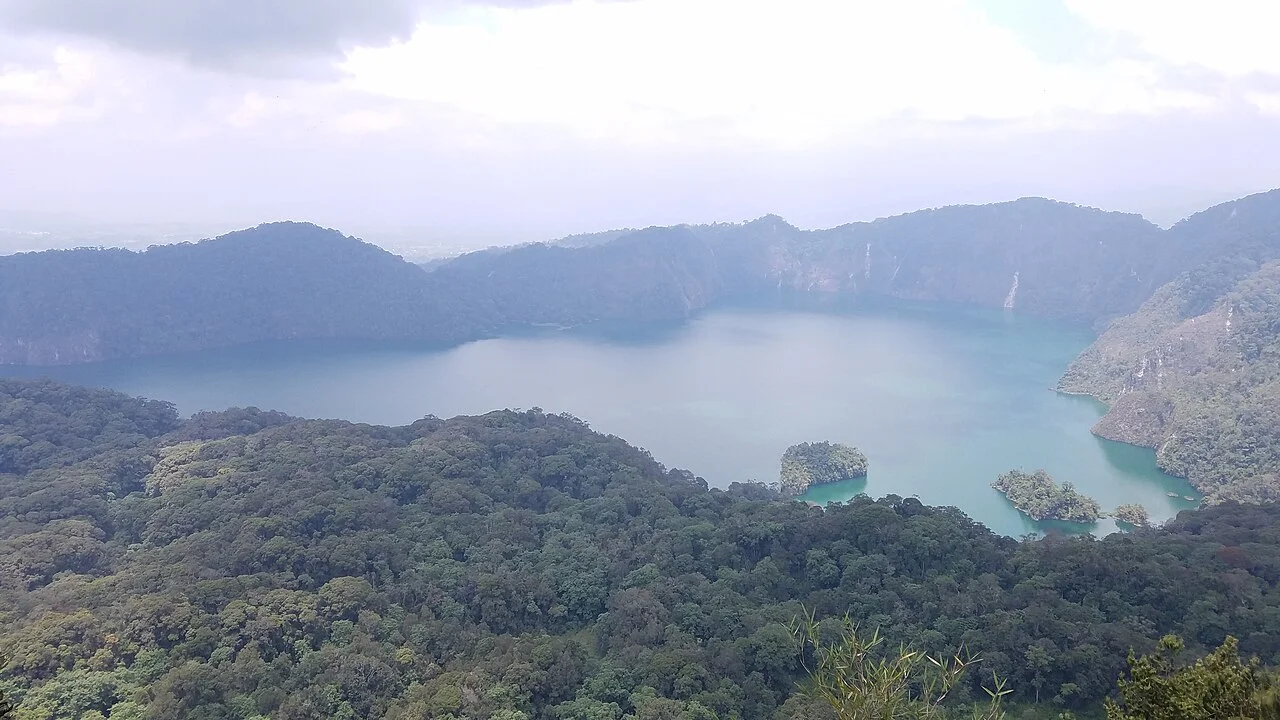
Southern Circuit
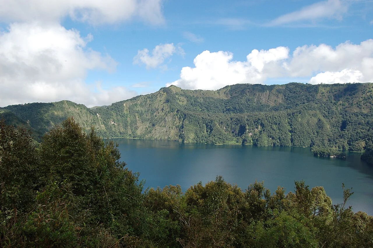
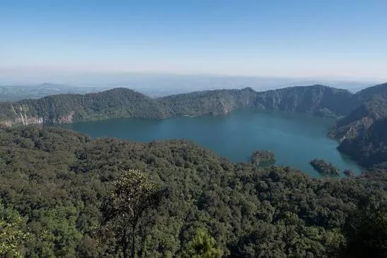
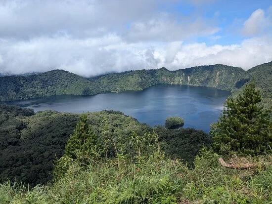
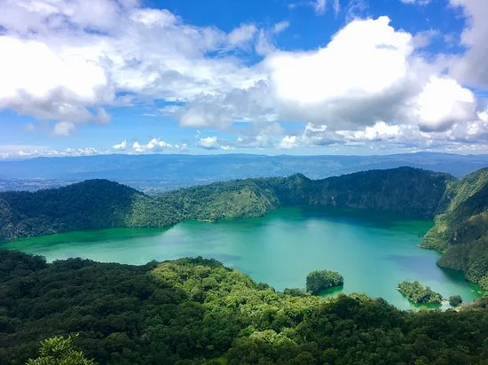
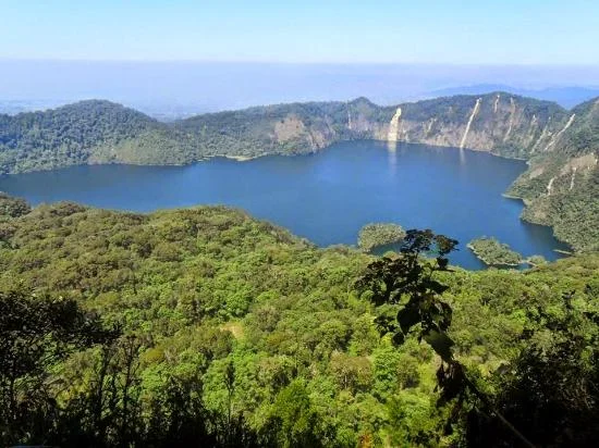
Lake Ngozi: a forest journey to a remarkable volcanic lake Lake Ngozi is one of the most memorable walking destinations in Tanzania’s Southern Highlands. The reward is a broad lake enclosed by steep, forested caldera walls, seen from a high viewpoint after a climb through montane vegetation. Often appearing green beneath the surrounding slopes, the water gives the landscape a quiet, almost hidden character. The experience begins well before the viewpoint: changing vegetation, forest sounds and the gradual ascent make the journey as engaging as the final view. Also spelled Lake Ngosi, the destination is in Mbeya Region, in the Poroto or Mporoto highland landscape near the route between Mbeya and Tukuyu. It belongs to a forest and volcanic setting, rather than a national-park game-drive itinerary. Tanzania Forest Services manages the destination within the wider Mount Rungwe and Poroto forest-reserve landscape. Agree the actual lake route, meeting point and access arrangements before travel, as descriptions of the wider reserve can also refer to other highland attractions. The lake and its volcanic setting Ngozi occupies part of a volcanic caldera, a large basin associated with the volcano’s eruptive history. The lake is approximately two and a half kilometres long and one and a half kilometres wide, with steep slopes enclosing much of its shoreline. From the rim, the relationship between water, forest and the surrounding landform is especially striking. Look beyond the colour of the water to the shape of the basin and the way vegetation covers its walls. It is useful to distinguish the lake’s elevation from the volcano’s highest ground. The lake surface is roughly 2,060 metres above sea level, while the Smithsonian volcano profile gives an elevation of 2,614 metres for Ngozi volcano. These are different measurements. Likewise, avoid describing Ngozi as an extinct volcano simply because the tourist viewpoint is peaceful: its geological history includes an eruption recorded around the fifteenth century. Research has also identified hydrothermal inputs in the lake. That makes Ngozi scientifically interesting, but a past research assessment is not a substitute for current visitor guidance. This itinerary focuses on approved forest walking and rim viewpoints. Swimming, drinking untreated lake water, independent shoreline exploration and boating are not presented as included visitor activities. Follow current instructions from the responsible site staff and your guide. The guided walk to the crater rim The main visitor experience is a guided ascent through the forest to an approved viewpoint on the crater rim. The path can include sustained climbing, roots, uneven ground and slippery sections after rain. Forest shade and highland air can make the walk pleasant, but they do not remove the need for suitable footwear, fitness and a realistic pace. A local guide helps identify the route and interpret the landscape along the way. Ask for the current walking distance, elevation gain, trail condition and expected return time before booking. Published estimates may describe only an ascent or a different starting point. Allow for rest stops, photography and the return descent, as well as your road transfers. If visibility is poor, the route is closed or your group is tiring, adapt the plan with your guide instead of pushing on to meet a fixed photograph or timetable. At the viewpoint, remain on the permitted ground and well away from exposed edges. Tree cover, fog and clouds can influence how much of the lake is visible. A clear panorama is a rewarding possibility, not a promise. Do not assume that a track heading downhill is a safe or authorised route to the water. Any proposed descent requires separate confirmation of permission, conditions, guiding and the effort needed to climb back out. Forest life and careful observation The montane forest is an attraction in its own right. Tourism descriptions mention colobus monkeys, forest birdlife, three-horned chameleons and wild banana vegetation. Sightings vary with the route, weather and the animals’ behaviour. Walk quietly, pause when your guide hears a call and use binoculars to observe from a distance. A forest outing rewards patience more than a long list of guaranteed species. Chameleons can be difficult to spot among vegetation. Ask a guide to help you look without handling animals or moving branches unnecessarily. Do not feed monkeys, use recorded calls to attract birds or approach nests. The nearby Mount Rungwe landscape has its own conservation importance, including the kipunji monkey, but that does not make a Lake Ngozi rim walk a guaranteed kipunji encounter. Arrange specialised wildlife interests separately. Photography and time in the forest For photographers, Ngozi offers both a broad landscape and smaller details. From a secure viewpoint, frame the lake with the surrounding forest or focus on the shape of the caldera walls. Along the path, look for vegetation, light filtering through the canopy and textures that tell the story of the climb. Stay with the guide and ask before stepping off the route to take a picture. Carry camera protection for rain and moisture, and keep batteries and essential items dry. Avoid setting up equipment where it blocks the path or encourages standing close to a drop. Cloud can move across the scene quickly, so leave time to enjoy the atmosphere even when the full lake view is briefly hidden. Drone operations require separate permissions and should not be assumed to be part of a standard hiking visit. Choosing when to go Regional government guidance describes rains roughly from October to May and a colder, drier period from June to September. Drier months can make walking and local road access more convenient, although forest trails may still be damp. Highland weather can change quickly, and fog may occur outside the rainy season. Check the local forecast and current route conditions shortly before departure. A wet-season walk can offer lush surroundings, but rain may make roots and slopes more slippery or reduce visibility at the rim. Keep the schedule flexible and accept a guide’s recommendation to shorten or postpone a hike when needed. There is no need to promise a fixed best month: choose dates that suit your fitness, comfort and wider itinerary, then confirm conditions close to travel. Getting there and accommodation Mbeya is a practical regional gateway, while Tukuyu can suit an itinerary continuing through the highlands. Tanzania Forest Services identifies Songwe International Airport, regional road travel and rail travel to Mbeya as ways to reach the area. Current transport schedules and onward road connections must be checked for your dates. Arrange the final transfer to the agreed Lake Ngozi trailhead rather than using a general reserve distance as an exact lake-access estimate. TFS lists routes towards the wider reserve via Iduda and Mchangani, but your organiser should confirm which approach is appropriate for the lake hike, the vehicle needed and the current meeting point. Accommodation can be considered in Mbeya or Tukuyu. Camping in the wider reserve requires confirmed permission, location and services; do not assume there is a serviced campsite at the lakeshore or that an overnight stay is included. What to bring and who the hike suits Bring walking shoes or boots with dependable grip, drinking water, a small daypack, a rain layer and a warmer layer for cool or windy conditions. Carry any personal essentials and enough food for the agreed outing. Ask where toilets and refreshments are available before setting out. Trekking poles may help on uneven or descending sections if you are comfortable using them. The hike is best planned for travellers who enjoy active outdoor exploration. Families should assess the route for their children’s age and stamina and supervise them closely near the rim. Visitors with limited mobility should request a specific assessment of surfaces, slopes and assistance; this is a forest hiking destination and should not be advertised as automatically wheelchair accessible. Share your walking preferences before the itinerary is finalised. Culture, conservation and a broader itinerary The lake has cultural significance to local communities. Listen respectfully to local interpretation and ask permission before visiting ritual places or photographing people. Stories and traditions should be presented as cultural accounts, without claiming that the water has proven medicinal powers. Protect the forest by staying on approved paths, taking litter out and leaving plants, animals and natural objects undisturbed. Lake Ngozi can be paired with a longer Southern Highlands journey that includes separately planned visits around Mount Rungwe, Kitulo National Park, Mbozi Meteorite or Lake Nyasa. These destinations require their own travel time and arrangements. A balanced itinerary gives the hike enough space, with a comfortable regional overnight stay rather than a rushed chain of distant stops. Plan your Lake Ngozi hike with TanzaLux Tell TanzaLux your dates, starting point, walking experience and interests. Your trip can bring together locally confirmed access, suitable guiding, road transfers and accommodation. Ask the proposal to specify current fees, services and the intended route. With careful preparation, Lake Ngozi becomes a rewarding forest adventure and an opportunity to appreciate the Southern Highlands’ volcanic scenery at a thoughtful pace.
November–April: generally the wetter core of the Southern Highlands year. Forest vegetation can be lush, but rain may affect final road access, muddy trails and rim visibility. Ask for current conditions, carry waterproof protection and keep the itinerary flexible. A guide may recommend shortening or postponing a walk.
May and October: transition periods, with rainfall timing varying between years. These months can suit a flexible highland itinerary if road and trail conditions are confirmed. Allow time for photography and changing visibility, and check the current Lake Ngozi route rather than assuming every reserve activity is operating.
June–September: generally the colder, drier period and often convenient for hiking and regional transfers. Forest paths can still be damp, and cool air, fog or wind may affect the viewpoint. Carry layers, drinking water and footwear with good grip. Clear views and wildlife sightings remain weather-dependent.
Use Mbeya as a regional gateway, or Tukuyu where it fits your Southern Highlands route. Tanzania Forest Services identifies Songwe International Airport, regional roads and rail travel to Mbeya as possible arrival options; confirm current schedules and arrange an onward road transfer. Agree the actual Lake Ngozi trailhead, access route and meeting point with the reserve or local organiser. TFS lists approaches to the wider reserve via Iduda and Mchangani, but these are not interchangeable fixed transfer estimates for the lake hike. Confirm the final road condition, vehicle suitability and visitor requirements. Accommodation can be considered in Mbeya or Tukuyu; any camping needs an approved location and confirmed services. Arrange a guide and obtain current fees, route distance, elevation changes and expected return time. Allow daylight for the forest descent and road journey back. Treat the crater-rim hike as the standard plan; any lakeshore descent must be separately authorised and assessed.
Lake Ngozi is in Mbeya Region in Tanzania’s Southern Highlands, within the Poroto or Mporoto highland landscape near the Mbeya–Tukuyu route. Confirm the specific lake trailhead when arranging your visit.
Yes. Ngozi and Ngosi are alternative spellings used for the same crater-lake destination. Use the lake name and agreed trailhead when confirming transport and guiding.
It is a volcanic caldera lake enclosed by steep, forested slopes. The main visitor experience is a forest hike to an approved rim viewpoint, where the lake and surrounding basin can be appreciated.
A useful approximate description is two and a half kilometres long and one and a half kilometres wide. Published measurements vary, so this page avoids a precise area or definitive African size ranking.
The lake surface is roughly 2,060 metres above sea level, based on scientific survey information. The commonly quoted 2,614 metres refers to Ngozi volcano’s elevation, not the water surface.
That description is not appropriate here. The Smithsonian profile records a last known eruption around 1450 CE, and research has identified hydrothermal inputs. Geological history and current visitor access are separate questions; follow current local guidance.
The lake is in the Tanzania Forest Services-managed Mount Rungwe and Poroto forest-reserve landscape. Confirm lake-specific access and activity requirements with the responsible site staff; national-park procedures should not be assumed.
The standard plan is a guided forest walk and ascent to an approved viewpoint on the crater rim. Photography, birdwatching and nature interpretation can be part of the outing according to conditions and the agreed route.
Expect an active forest walk with climbing, uneven ground, roots and potentially slippery sections. Difficulty depends on the trailhead, route, weather and your fitness. Request current distance, elevation changes and surface information before booking.
Allow for road transfers, the ascent, time at the viewpoint and the return walk. Published timings may cover only one section. Obtain an estimate for your actual route and pace, and leave enough daylight for the descent and journey back.
Yes, plan a locally arranged guide familiar with the permitted route and current conditions. Confirm the reserve’s visitor requirements and guiding services in advance; a generic armed-ranger rule should not be assumed without site advice.
Do not assume a lakeshore descent is included or currently permitted. The crater walls are steep, and returning uphill adds effort. Any descent needs separate confirmation of authorisation, trail condition, guiding and suitability for your group.
These activities are not offered as part of this destination plan. The lake has a documented volcanic and hydrothermal setting. Stay with approved visitor activities, bring drinking water and follow current staff instructions.
June to September is generally the colder, drier period described in regional guidance and can be convenient for hiking. Forest paths may remain damp and fog can still affect the view. Choose dates around your wider itinerary and check current conditions.
A visit may be possible if access and trail conditions allow. Rain can make slopes and roots slippery or obscure rim views. Carry rain protection, keep the schedule flexible and follow your guide’s recommendation about proceeding.
Tourism information mentions colobus monkeys, forest birds and three-horned chameleons. Sightings are variable. Walk quietly, use binoculars and avoid handling or feeding animals. Kipunji sightings should not be promised on a standard Lake Ngozi hike.
Assess the exact route for the group’s stamina and mobility. Children need close supervision near the rim. Ask about slopes, steps, surfaces and assistance; do not assume wheelchair access or that every viewpoint suits every visitor.
Bring grippy walking footwear, drinking water, rain protection, a warmer layer and a small daypack. Consider accommodation in Mbeya or Tukuyu. Camping requires an approved reserve location, permission and confirmed services.
Request current charges, access hours, guiding requirements and booking arrangements when planning. Confirm toilets, refreshments and any campsite services separately. Your itinerary should state exactly what is included.
A tailored itinerary can pair the hike with separately planned visits around Mount Rungwe, Kitulo, Mbozi Meteorite or Lake Nyasa. Share your dates, starting point and walking preferences so realistic transfers and available services can be confirmed.
Grateful experience
As a solo female traveler, I felt super safe and well taken care of the entire time.
Read morePrivate Safari 6 days
I can only highly recommend the young company Tanzalux for organizing a private safari.
Read moreAn unforgettable vegetarian journey with Tanzalux Safaris
I highly recommend Tanzalux for anyone wanting a special, personalized safari.
Read moreOur 3-day camping safari with Tanzalux was simply fantastic! Everything was perfectly organized.
Read moreBack in April, I joined a day trip to Tarangire National Park with Tanzalux Safaris, and it was truly one of the best experiences I have ever had…
Read moreI've had an amazing experience with Tanzalux Safaris, would 1000% recommend! Thank you for making my trip so special🫶
Read moreI recently visited Meru Waterfalls in Arusha and got to do some of the activities there, honestly it was such a great experience and I really enjoyed it.
Read moreOur guide Dullah Mr Rastaman had the best vibe. I would like to recommend other people not to miss it, Tarangire is the best national park.
Read moreOur tour guide Nasri was very friendly and welcoming from the first day we met him. He knows Tarangire very well and explained many things during the safari.
Read moreAs a grandmother in the group, I would like to share my happiness with Tanzalux Safaris. Me, my daughters, and my grandson went on a short trip to Tarangire National Park…
Read moreReceive a free, no obligation quote

 Western Circuit
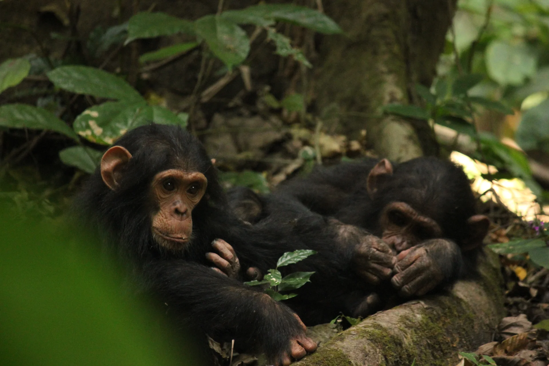
Gombe Stream National Park, also known as Gombe National Park, combines wild chimpanzee trekking with forested hills and the shores of Lake Tanganyika. In Kigoma…
Wildlife
Chimpanzees & Olive baboons
Landscape
National Parks & Safari
Highlights
Wild chimpanzee trekking with park rangers
 Southern Circuit
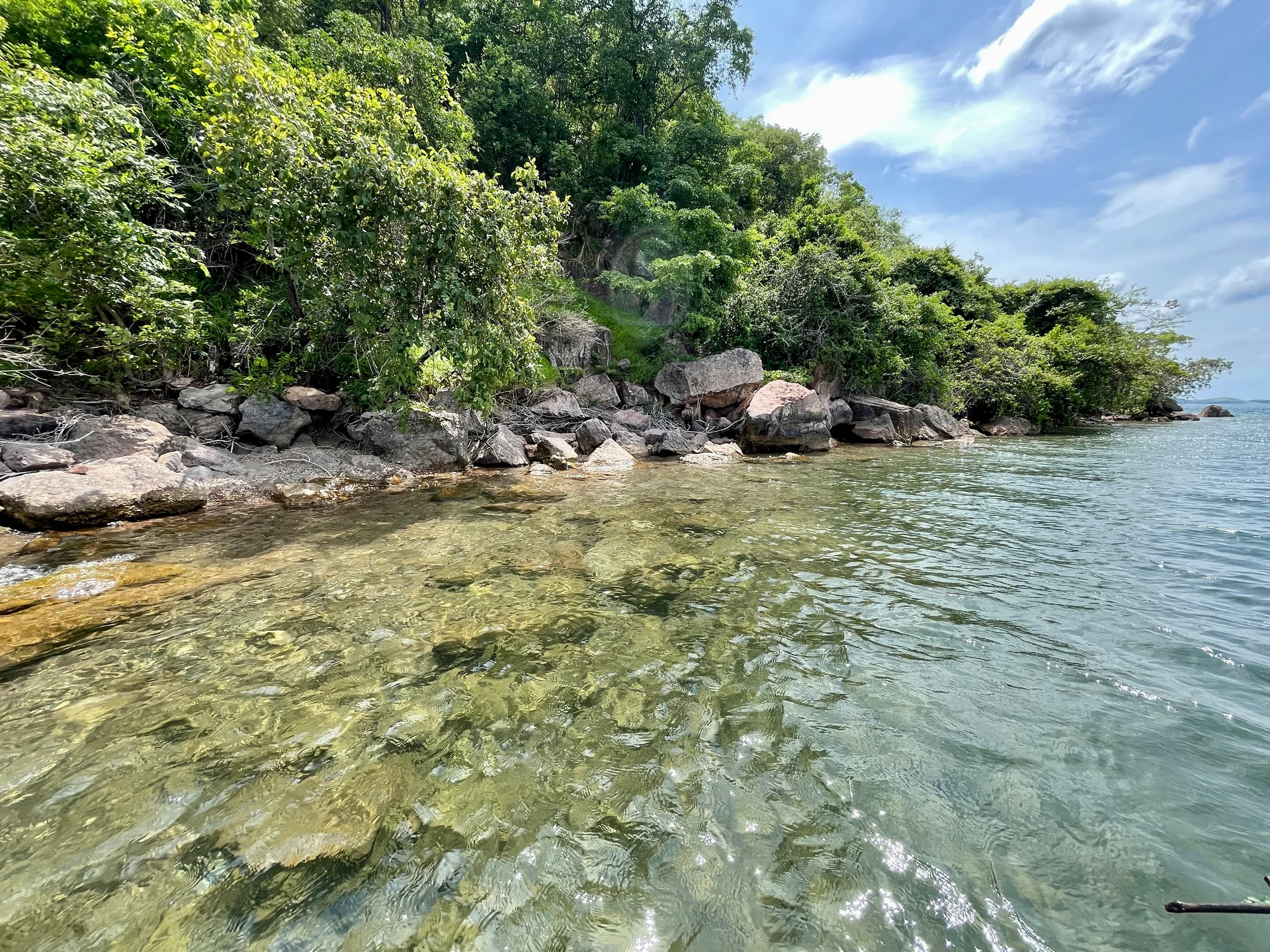
Lake Tanganyika offers a striking freshwater setting along Tanzania’s western frontier: broad blue horizons, wooded shores, bays, beaches and communities whose daily life is closely…
Wildlife
Endemic cichlid fish & Other freshwater fish
Landscape
Lakes & Hot Springs
Highlights
Africa’s deepest freshwater lake in the East African Rift
 Northern Circuit
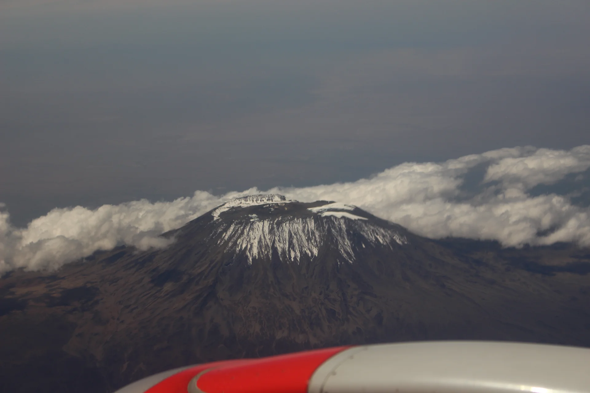
Kilimanjaro rises above northern Tanzania’s plains to Uhuru Peak at 5,895 metres, the highest point in Africa. Its volcanic massif, dramatic changes in vegetation and…
Wildlife
Black-and-white colobus monkeys in forest habitats & Blue monkeys in forest habitats
Landscape
Mountains & Trekking
Highlights
Uhuru Peak at 5,895 metres — Africa’s highest point
 Western Circuit
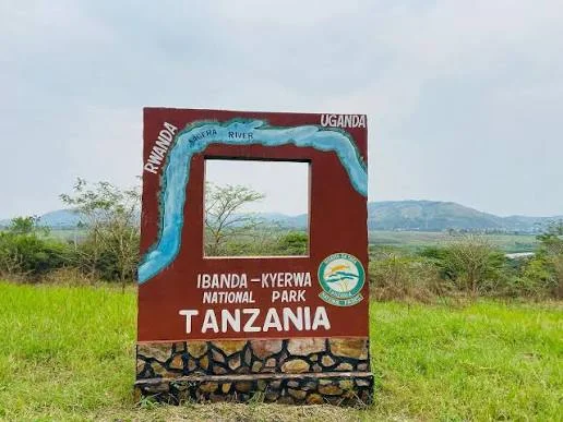
Ibanda-Kyerwa National Park protects a scenic corner of northwestern Tanzania, where the Kagera River meets a landscape of savanna, wooded slopes, valleys and wetlands. Situated…
Wildlife
Buffalo & Roan antelope
Landscape
National Parks & Safari
Highlights
Kagera River scenery on Tanzania’s northwestern border
 Zanzibar & Islands
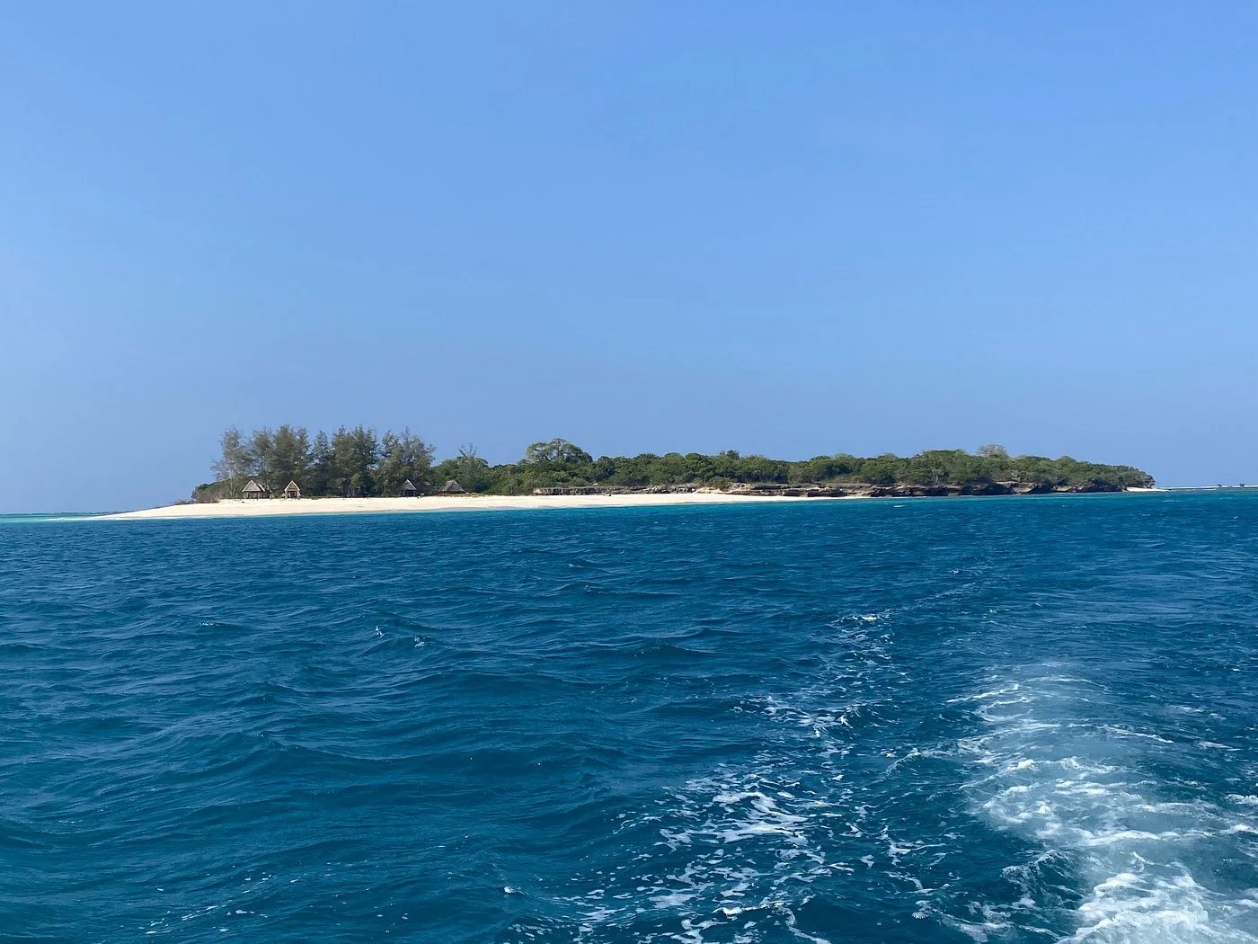
Sinda Island Marine Reserve offers an Indian Ocean escape off Kigamboni, on the southern side of Dar es Salaam. The reserve encompasses Inner and Outer…
Wildlife
Reef fish & Coastal birds
Landscape
Beaches & Islands
Highlights
Inner and Outer Sinda islands
 Northern Circuit
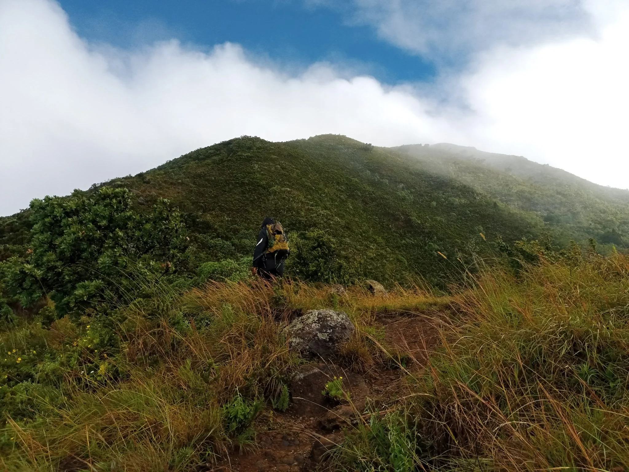
Discover Mount Hanang Rising above Katesh in Tanzania’s Manyara Region, Mount Hanang offers a rewarding mountain adventure beyond the familiar northern safari circuit. At approximately…
Wildlife
Klipspringer & Vervet monkeys
Landscape
Mountains & Trekking
Highlights
Approximately 3,423 metres — Tanzania’s fourth-highest mountain