 5.0 Excellent

Dorine M1 year ago

Grateful experience
As a solo female traveler, I felt super safe and well taken care of the entire time.
Read more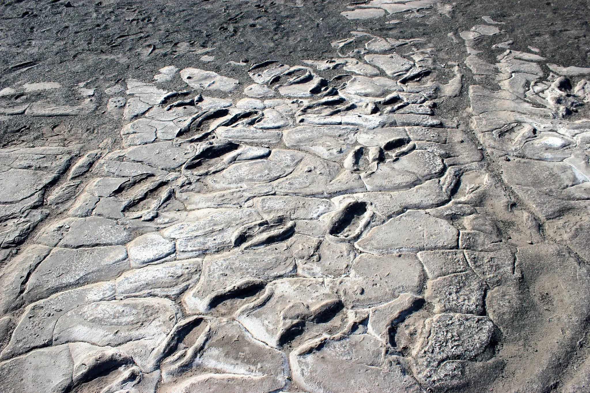
Northern Circuit
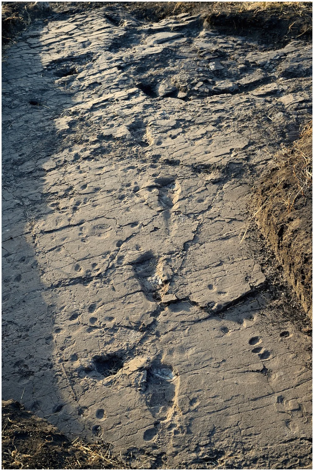
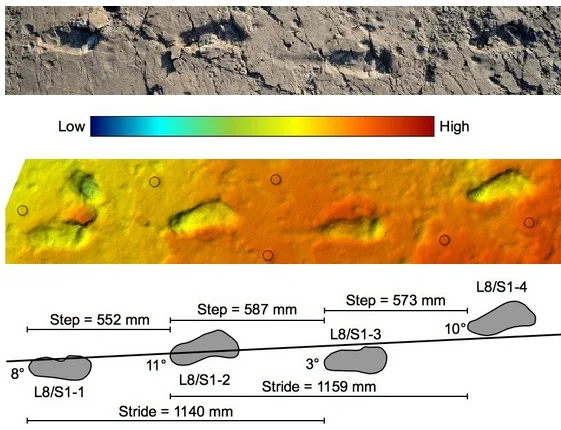
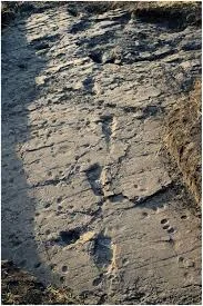
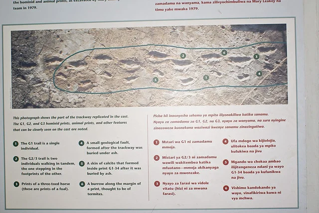
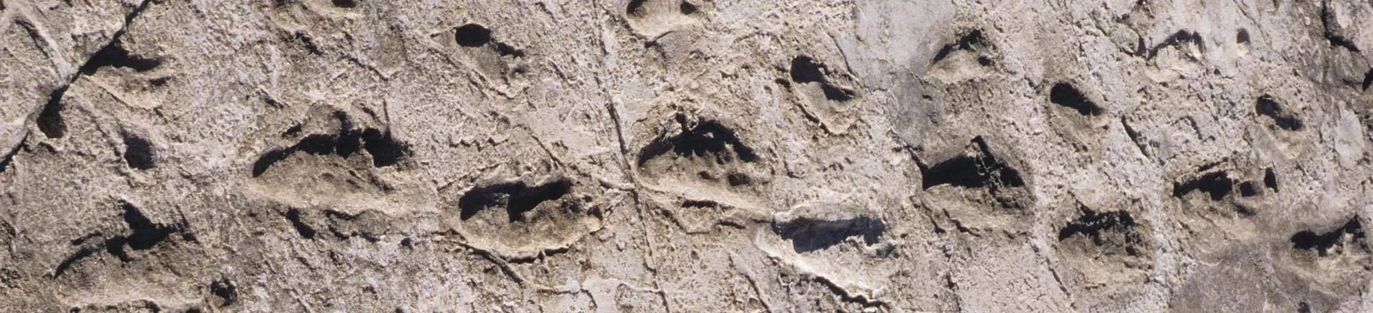
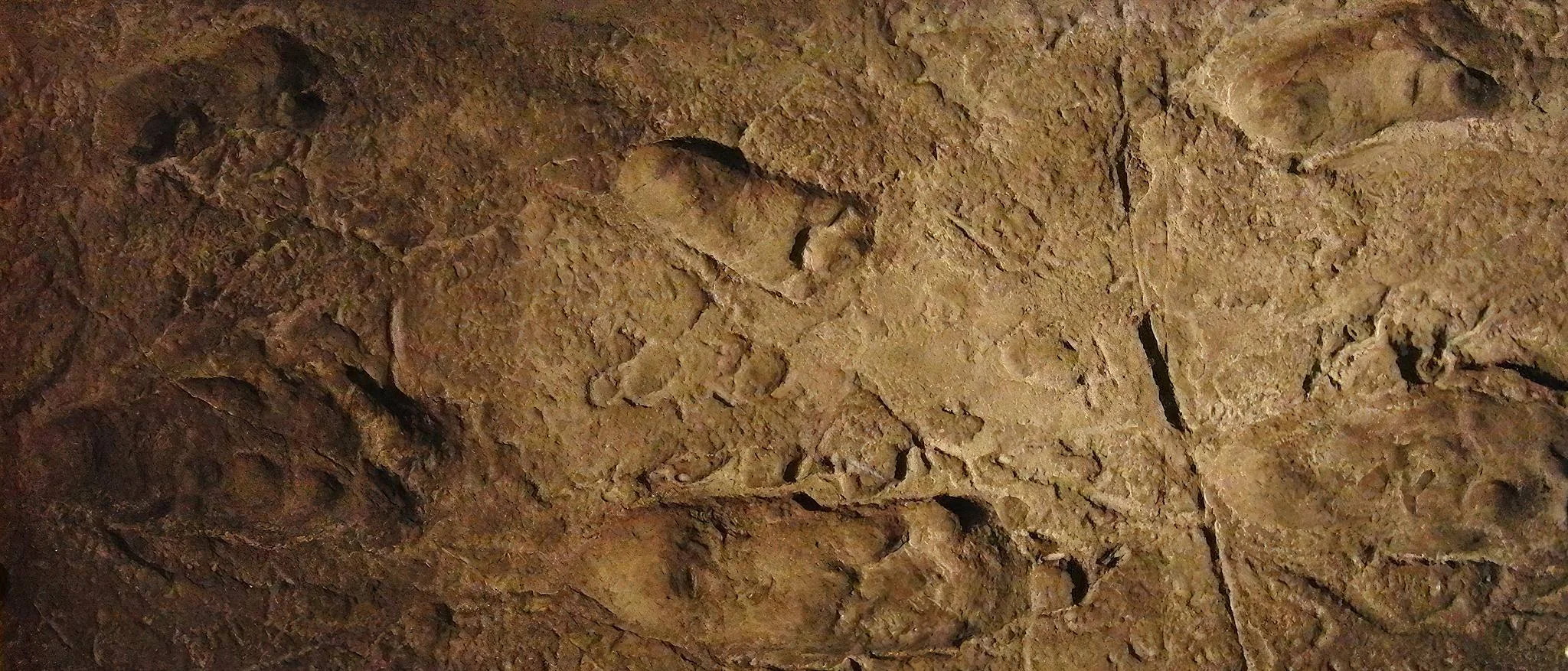
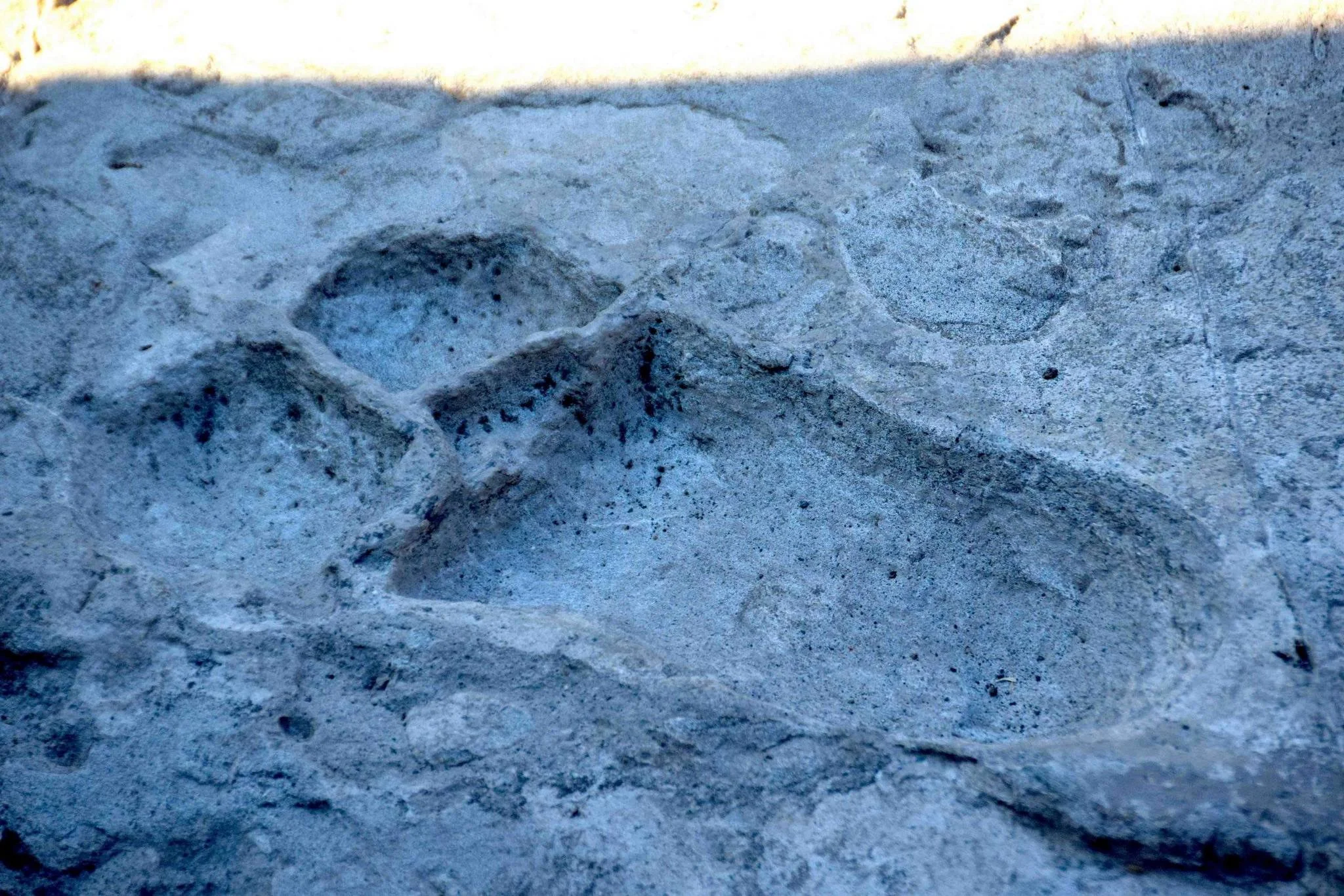
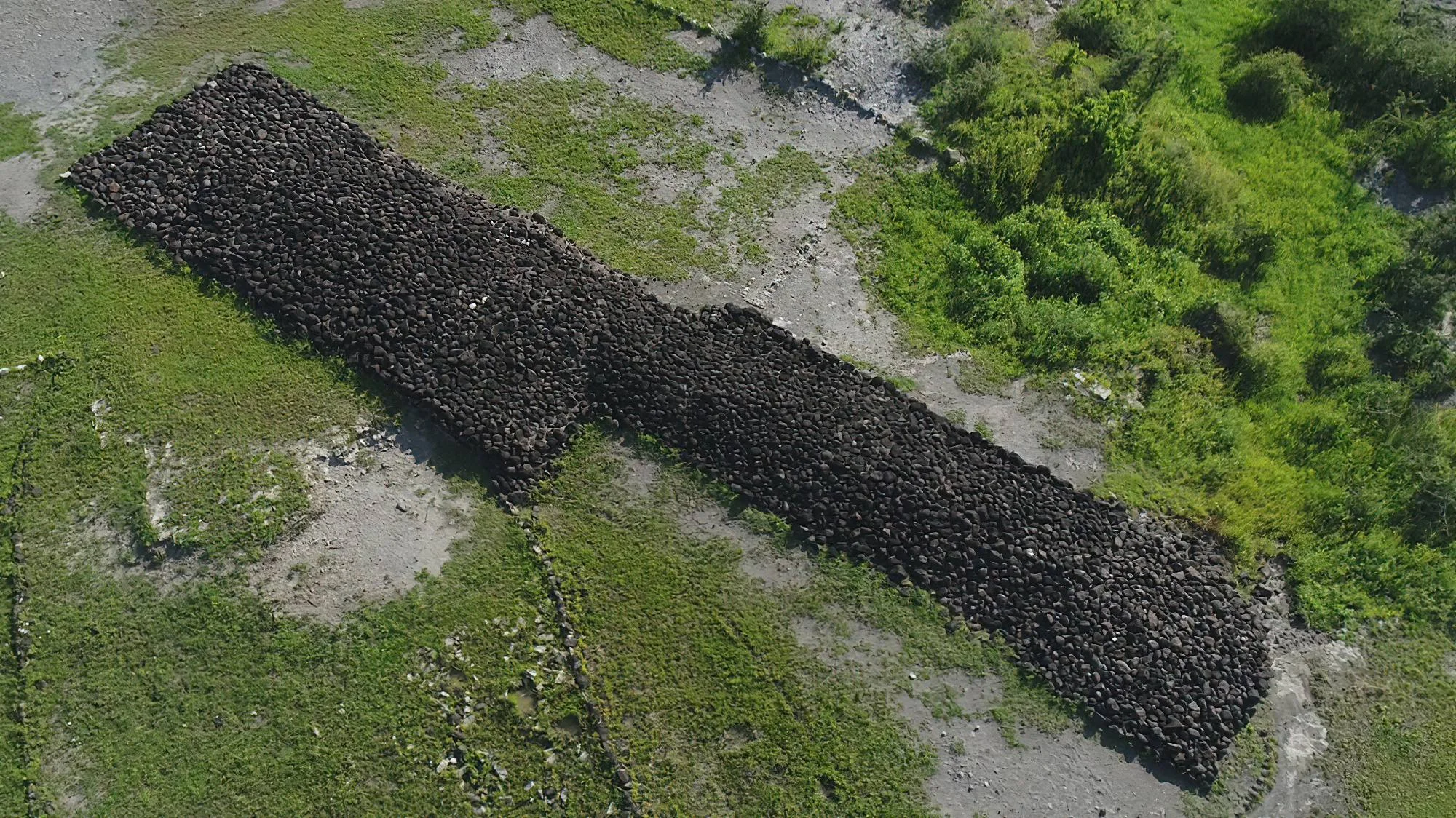
Laetoli Footprints preserve an extraordinary moment in the story of human evolution: early hominins walking across damp volcanic ash approximately 3.66 million years ago. Their steps survived as fossil impressions, offering direct evidence of upright walking long before modern humans appeared. A thoughtfully arranged visit connects the sweeping landscapes of northern Tanzania with one of the most compelling records of our distant past. A LANDSCAPE OF DEEP TIME Laetoli lies within Ngorongoro Conservation Area, near the southern edge of the Serengeti Plains, north of Lake Eyasi and west of Ngorongoro Crater. Its significance belongs to the wider archaeological heritage of the Ngorongoro UNESCO World Heritage property. It is part of that property rather than a separately inscribed World Heritage Site. The surrounding terrain is a living landscape of pastoral communities and protected natural habitats as well as an internationally important research area. WHY THE FOOTPRINTS MATTER Bones help scientists reconstruct anatomy; footprints record an action. At Laetoli, the fossil trail shows early hominins moving on two feet, with impressions that allow researchers to examine foot shape, stride and walking mechanics. The classic Site G tracks are generally attributed to Australopithecus afarensis, an early hominin species also represented by fossils in the geological sequence. That attribution is a scientific interpretation, not a species label that the prints alone can prove conclusively. The makers were not modern Homo sapiens. AN ANCIENT WALK PRESERVED IN ASH Damp volcanic ash received the footprints and later hardened into what researchers call the Footprint Tuff. Burial helped preserve these fragile surfaces through immense spans of time. The same geological record contains tracks of other animals, allowing the locality to be considered as an ancient environment rather than only a human trail. The exact source of the footprint-bearing ash has been debated, so a visit should focus on the preservation process without treating one named volcano as settled fact. DISCOVERY AND THE CLASSIC TRAIL Mary Leakey’s team identified fossil animal tracks in 1976. The famous hominin trail was discovered in 1978, with Mary Leakey and Paul Abell credited in the discovery history. The classic Site G trackway extends for approximately 27 metres and contains roughly 70 impressions. It has traditionally been interpreted as the work of three individuals, with some footprints overlapping. Its scale makes the story tangible, but the tracks do not establish a mother, father and child, the individuals’ sex, or where they intended to go. MORE THAN ONE TRACKWAY Research at Laetoli has continued beyond the original discovery. Additional hominin tracks found at Site S in 2015 were attributed to two individuals, expanding the picture of movement across this ancient surface. Sites G and S are distinct research areas within the larger locality. Photographs of an excavation or scientific measurements can help explain the findings, but they should not be confused with the present visitor experience or taken as evidence that the original tracks are permanently exposed. CONSERVATION COMES FIRST The original hominin footprints are exceptionally vulnerable to erosion, plant roots and disturbance. Protective reburial has played a major role in their conservation, alongside research and monitoring by Tanzanian authorities and conservation specialists. Presentation arrangements continue to develop. Visitors should expect the original hominin tracks to be protected and should not expect them on open display. Confirm current permitted stops with the Ngorongoro Conservation Area Authority and local site staff before travelling. WHAT A GUIDED VISIT CAN INCLUDE The official Ngorongoro Lengai Geopark southern route describes a Laetoli visitor centre with a life-size footprint model and interpretation, the excavation locality where hominin tracks are covered, and another ash exposure with fossil bird and small-mammal tracks. These provide different ways to understand the site, subject to current permission and access. A knowledgeable guide can connect the model, geology and research history while explaining why conserving the original surface is essential. The appeal is an educational encounter with human origins, rather than a promise to walk beside exposed ancient hominin prints. A STRONG COMPANION TO OLDUVAI Olduvai Gorge Museum displays footprint replicas and provides a useful complementary setting for learning about human evolution. Combining Laetoli’s landscape with Olduvai’s museum interpretation can make the science more accessible, especially for first-time visitors and families. A broader itinerary may also include Ngorongoro scenery or other permitted heritage stops. These places represent different discoveries and periods, so they should be understood together without treating every fossil or stone tool as the same age as the Laetoli trail. PLAN THE VISIT IN ADVANCE Arrange the route, guide, conservation-area requirements, any site permission and charges before departure. Laetoli should be included through a locally confirmed itinerary rather than an unplanned self-guided detour. Unpaved approaches and exposed ground can be affected by rain, while transfer times depend on the starting point and approved route. Check the current centre arrangements, viewing areas, facilities and walking distance. For visitors with limited mobility, request a specific terrain assessment; a life-size model does not by itself establish step-free access throughout the locality. SEASONS, COMFORT AND FAMILY TRAVEL June to October generally brings drier regional conditions and may simplify road travel. Long rains around March to May and shorter rains later in the year can alter access, so conditions need local confirmation. The scientific interest does not depend on migration timing. Carry water, sun protection and sturdy closed shoes, with a light layer for cooler highland transfers. Families can make the experience engaging by comparing foot shapes and discussing how a footprint differs from a bone fossil, while keeping children supervised near fragile deposits and excavation edges. HELP KEEP THE STORY IN PLACE Follow the guide’s approved route, respect closures and never enter covered track areas or excavation pits without specific permission. Do not dig, collect fossils, touch or trace impressions, or leave marks on the deposits. Photography, specialist filming and drone use should follow current local permissions. Treat neighbouring communities respectfully and ask consent before photographing people. TanzaLux can help plan a heritage-focused northern Tanzania journey with Laetoli’s access arrangements confirmed before travel.
March–May: Long rains can affect unpaved approaches and make sections of the route muddy or difficult. The archaeological interest remains year-round, but visits depend on current permission and conditions. Confirm road access and permitted visitor stops with local staff before departure, use a suitable vehicle and allow flexibility if rainfall changes the plan.
November–February: Variable conditions may include short rains in the earlier part of this period, greener landscapes and drier intervals later. Access and road conditions can change quickly. Arrange the visit through a locally confirmed itinerary and bring sun protection, rain protection and a layer for cooler transfers. Site interpretation is worthwhile whenever access is available.
June–October: These months generally offer drier northern Tanzania conditions and may make unpaved road travel easier. Dust, sun exposure and cool highland mornings still need preparation. This is a practical planning window for a heritage itinerary, not a guaranteed opening schedule or a promise of exposed original tracks. Confirm current visitor-centre arrangements and carry water and sturdy shoes.
Laetoli lies within Ngorongoro Conservation Area, west of Ngorongoro Crater and north of Lake Eyasi. Plan it as a prearranged heritage excursion on a locally approved route from your Karatu, Ngorongoro or other suitable northern-circuit base. Kilimanjaro International Airport is a common international gateway, while Arusha Airport may suit domestic connections; onward travel is normally arranged by road with a driver-guide. The final route, transfer time and vehicle requirements depend on your starting lodge, permitted access and current road conditions. A vehicle suitable for unpaved tracks, often a 4×4, is appropriate; do not rely on a single universal drive time or attempt an unplanned detour. Confirm conservation-area entry requirements, Laetoli site permission, current charges, guide or escort arrangements, meeting point and permitted stops with NCAA/local site staff before travelling. Ask about the visitor centre, life-size model, current interpretation, walking distance, uneven ground, toilets and other facilities. Original hominin tracks are protected and should not be expected on open display. For an accessible alternative or complementary explanation, discuss the footprint replicas at Olduvai Gorge Museum and obtain a current mobility assessment of any planned visit. Carry drinking water, sun protection, closed shoes and a light layer, and allow extra route flexibility during wet weather.
Laetoli lies within Ngorongoro Conservation Area in northern Tanzania, near the southern edge of the Serengeti Plains, north of Lake Eyasi and west of Ngorongoro Crater. The actual approach and permitted stops should be confirmed through a local itinerary.
They preserve direct evidence of early hominins walking upright on two feet. Unlike a bone fossil, a footprint records an action and provides information about foot form, steps and movement across an ancient surface.
The famous footprint-bearing layer dates to approximately 3.66 million years ago, often rounded to 3.6 million years in visitor interpretation. This age belongs to the ancient tracks, not to every fossil or archaeological object from the wider Ngorongoro region.
Mary Leakey’s team identified fossil animal tracks in 1976. The famous hominin trail was discovered in 1978, with Mary Leakey and Paul Abell credited in the discovery history.
The classic Site G tracks are generally attributed to Australopithecus afarensis, supported by fossils from the same geological sequence. This is a scientific interpretation; footprints alone do not conclusively identify the maker’s species.
No. They were made by early hominins millions of years before modern Homo sapiens appeared. Calling them modern human footprints would misrepresent their age and evolutionary significance.
No. The classic trail has traditionally been interpreted as tracks of three individuals, including overlapping impressions. Their sex, ages and family relationships are not established by the footprints, so a mother–father–child story should not be presented as fact.
The walkers impressed their feet into damp volcanic ash. The ash later hardened and became buried, preserving impressions in the Footprint Tuff. The exact source volcano has been debated, so one named volcano should not be treated as a settled explanation.
The famous Site G trackway extends for approximately 27 metres and contains roughly 70 impressions. Counts and interpretation relate to the documented ancient trail, not to an exposed walkway that visitors can freely follow today.
Site G is the classic trail associated with the 1978 discovery. Additional hominin tracks found at Site S in 2015 were attributed to two individuals. They are distinct research areas within the wider Laetoli locality.
Do not expect the originals on open display. They are protected, and reburial has been central to their conservation. Current research and presentation arrangements do not establish unrestricted public viewing; confirm what is permitted with NCAA and local site staff.
The official Geopark route describes a visitor centre with a life-size footprint model and interpretation, the locality of the covered hominin tracks, and an ash exposure with fossil bird and small-mammal tracks. Availability of each stop depends on current access and permission.
Footprint replicas are documented at Olduvai Gorge Museum. A museum visit can complement Laetoli by explaining the research and conservation story. Confirm current museum access and the suitability of the facilities for your group when planning.
Laetoli contributes to the archaeological importance of the Ngorongoro UNESCO World Heritage property. It is part of that broader property, rather than a separately inscribed World Heritage Site.
Arrange conservation-area entry requirements, any Laetoli site permission, charges, a suitable guide and any required escort through NCAA/local site staff. Confirm the route and permitted visitor stops. Do not assume a self-guided visit or invent a Laetoli-specific ranger rule without current confirmation.
Consider a heritage-focused excursion from a suitable Karatu or Ngorongoro base, with Olduvai Gorge Museum as a complementary visit. The approved route and transfer time depend on your starting point and local conditions, so allow enough time for meaningful interpretation.
June–October generally offers drier regional conditions and may simplify travel on unpaved roads. Long rains around March–May and short rains later in the year can affect access. The scientific interest is year-round when visits are permitted; local confirmation matters more than a fixed calendar.
The main attraction is heritage interpretation. Fossil animal tracks are evidence of an ancient environment, not promises of live animals at Laetoli. Wildlife viewing in the wider conservation area can be arranged separately, subject to the itinerary and natural sighting conditions.
Families can enjoy the footprint story with an engaging guide and supervision near uneven ground or excavation edges. Ask for a current assessment of walking distance, steps, terrain and facilities for anyone with limited mobility. Do not assume the entire locality is step-free.
Bring water, sun protection, sturdy closed shoes and a light layer for cooler transfers. Follow approved routes, respect closures, keep away from fragile deposits and never dig, collect fossils or touch impressions. Confirm photography, filming and drone permissions, and ask consent before photographing local people.
Grateful experience
As a solo female traveler, I felt super safe and well taken care of the entire time.
Read morePrivate Safari 6 days
I can only highly recommend the young company Tanzalux for organizing a private safari.
Read moreAn unforgettable vegetarian journey with Tanzalux Safaris
I highly recommend Tanzalux for anyone wanting a special, personalized safari.
Read moreOur 3-day camping safari with Tanzalux was simply fantastic! Everything was perfectly organized.
Read moreBack in April, I joined a day trip to Tarangire National Park with Tanzalux Safaris, and it was truly one of the best experiences I have ever had…
Read moreI've had an amazing experience with Tanzalux Safaris, would 1000% recommend! Thank you for making my trip so special🫶
Read moreI recently visited Meru Waterfalls in Arusha and got to do some of the activities there, honestly it was such a great experience and I really enjoyed it.
Read moreOur guide Dullah Mr Rastaman had the best vibe. I would like to recommend other people not to miss it, Tarangire is the best national park.
Read moreOur tour guide Nasri was very friendly and welcoming from the first day we met him. He knows Tarangire very well and explained many things during the safari.
Read moreAs a grandmother in the group, I would like to share my happiness with Tanzalux Safaris. Me, my daughters, and my grandson went on a short trip to Tarangire National Park…
Read moreReceive a free, no obligation quote

 Western Circuit
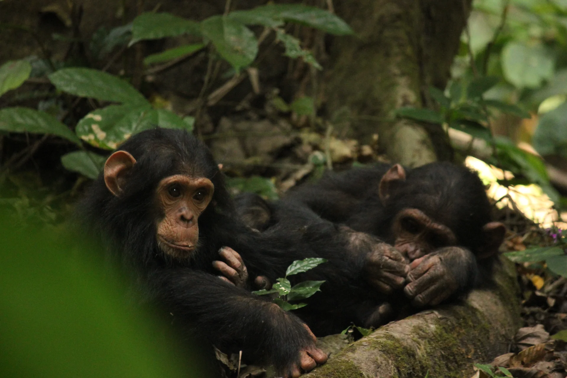
Gombe Stream National Park, also known as Gombe National Park, combines wild chimpanzee trekking with forested hills and the shores of Lake Tanganyika. In Kigoma…
Wildlife
Chimpanzees & Olive baboons
Landscape
National Parks & Safari
Highlights
Wild chimpanzee trekking with park rangers
 Southern Circuit
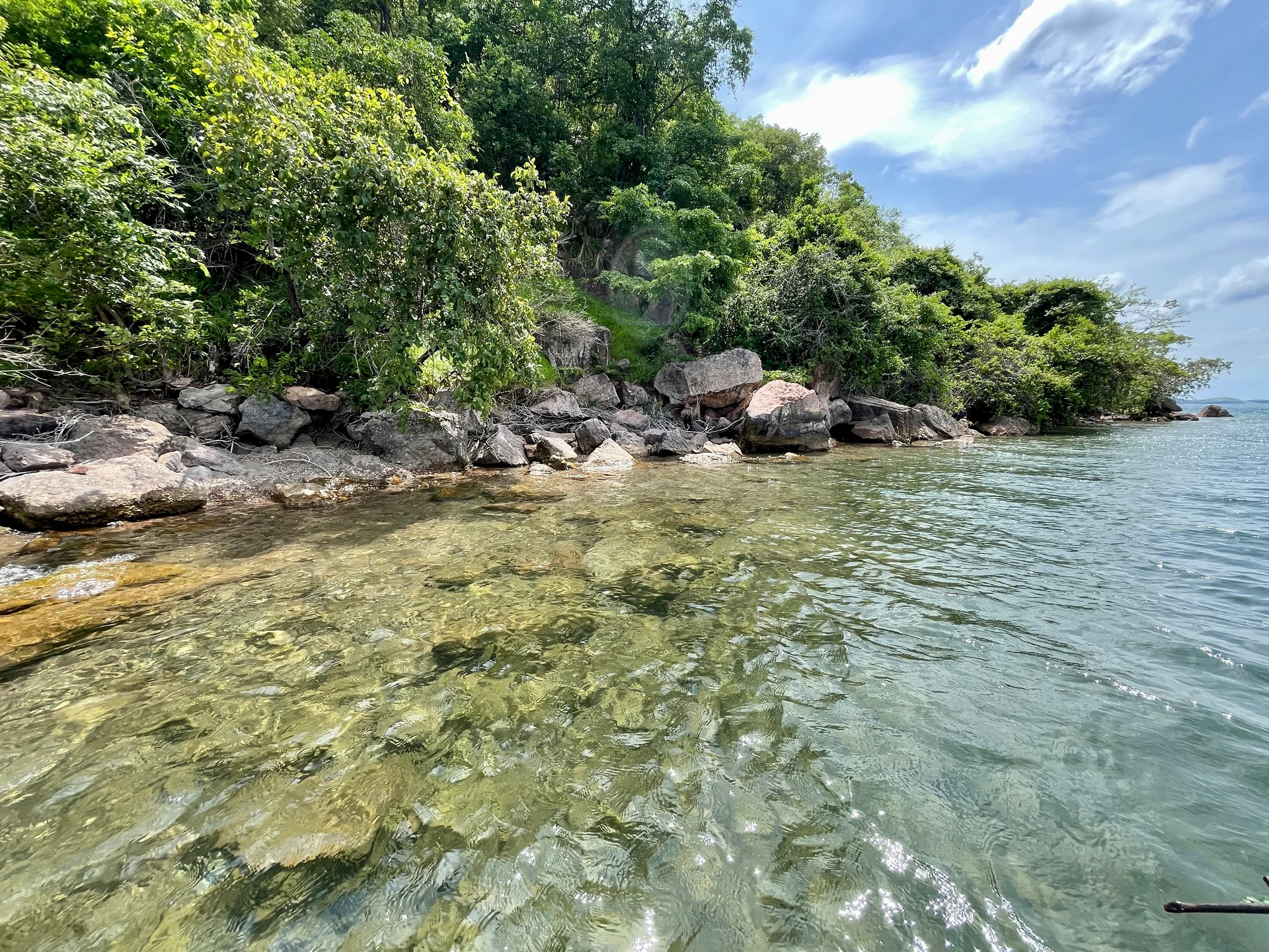
Lake Tanganyika offers a striking freshwater setting along Tanzania’s western frontier: broad blue horizons, wooded shores, bays, beaches and communities whose daily life is closely…
Wildlife
Endemic cichlid fish & Other freshwater fish
Landscape
Lakes & Hot Springs
Highlights
Africa’s deepest freshwater lake in the East African Rift
 Northern Circuit
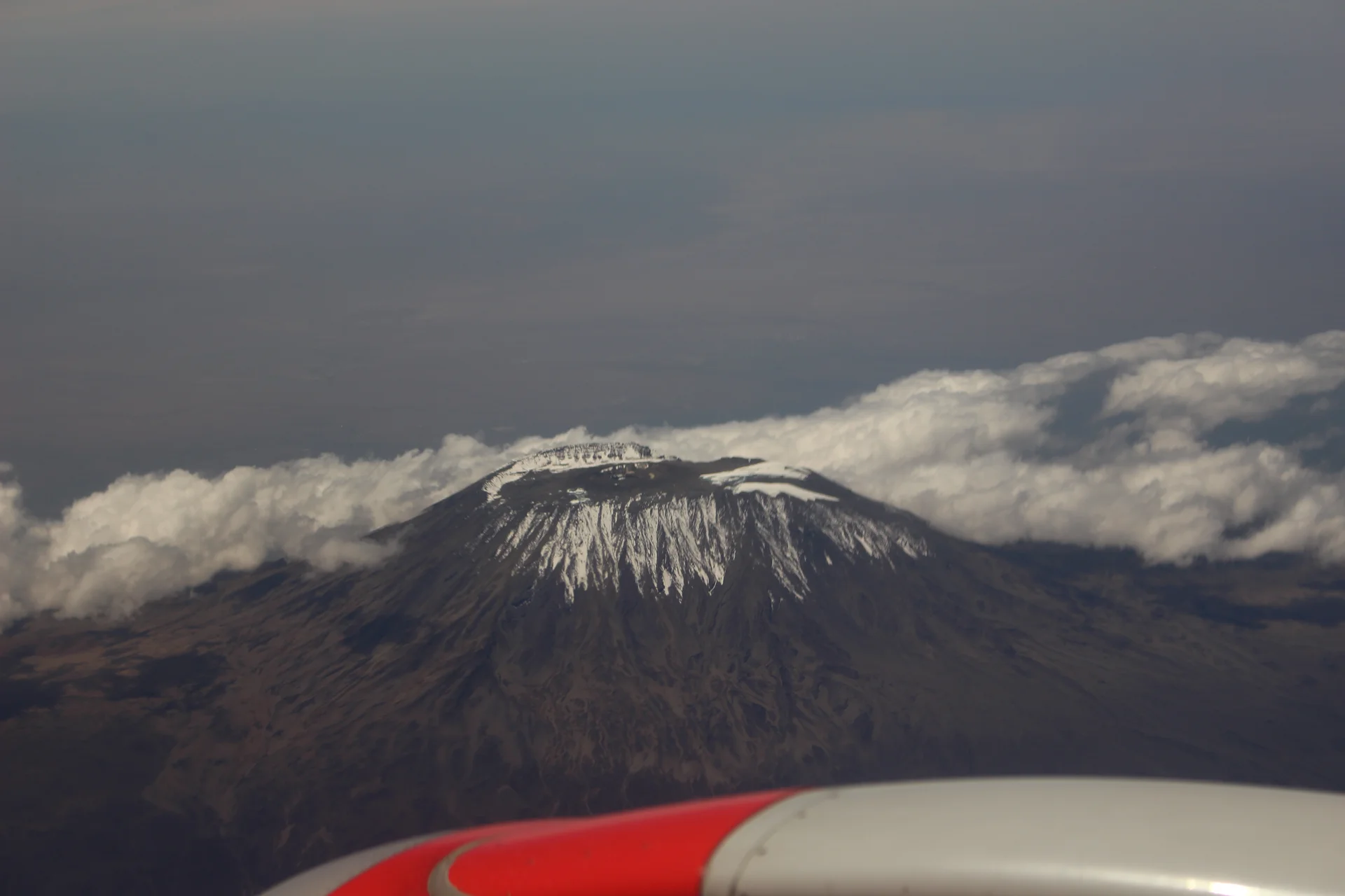
Kilimanjaro rises above northern Tanzania’s plains to Uhuru Peak at 5,895 metres, the highest point in Africa. Its volcanic massif, dramatic changes in vegetation and…
Wildlife
Black-and-white colobus monkeys in forest habitats & Blue monkeys in forest habitats
Landscape
Mountains & Trekking
Highlights
Uhuru Peak at 5,895 metres — Africa’s highest point
 Western Circuit
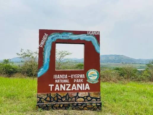
Ibanda-Kyerwa National Park protects a scenic corner of northwestern Tanzania, where the Kagera River meets a landscape of savanna, wooded slopes, valleys and wetlands. Situated…
Wildlife
Buffalo & Roan antelope
Landscape
National Parks & Safari
Highlights
Kagera River scenery on Tanzania’s northwestern border
 Zanzibar & Islands
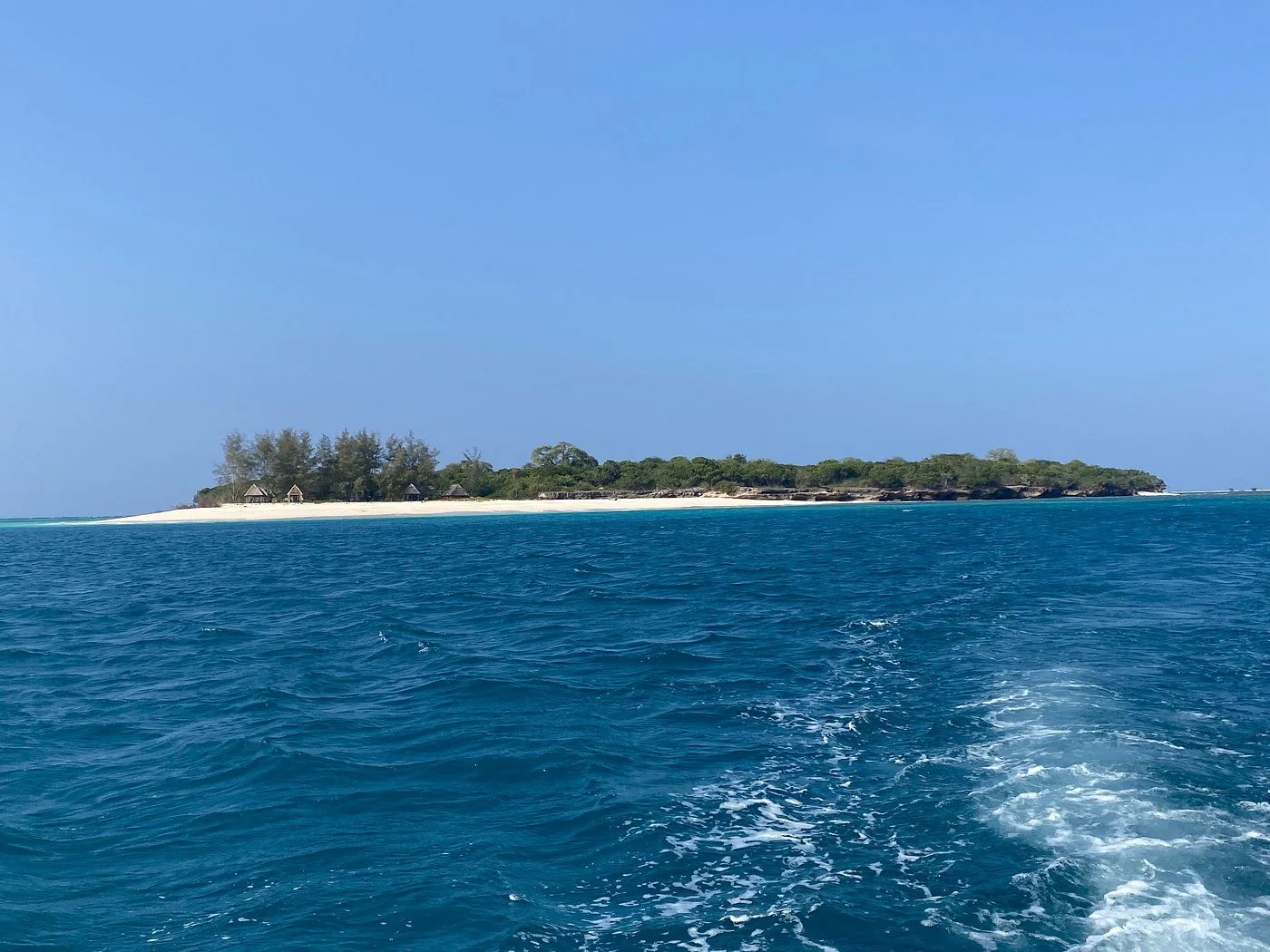
Sinda Island Marine Reserve offers an Indian Ocean escape off Kigamboni, on the southern side of Dar es Salaam. The reserve encompasses Inner and Outer…
Wildlife
Reef fish & Coastal birds
Landscape
Beaches & Islands
Highlights
Inner and Outer Sinda islands
 Northern Circuit
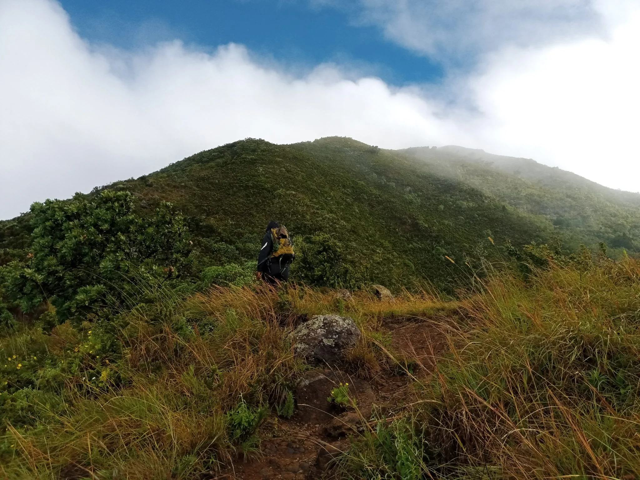
Discover Mount Hanang Rising above Katesh in Tanzania’s Manyara Region, Mount Hanang offers a rewarding mountain adventure beyond the familiar northern safari circuit. At approximately…
Wildlife
Klipspringer & Vervet monkeys
Landscape
Mountains & Trekking
Highlights
Approximately 3,423 metres — Tanzania’s fourth-highest mountain