 5.0 Excellent

Dorine M1 year ago

Grateful experience
As a solo female traveler, I felt super safe and well taken care of the entire time.
Read more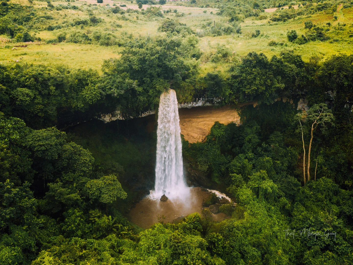
Southern Circuit
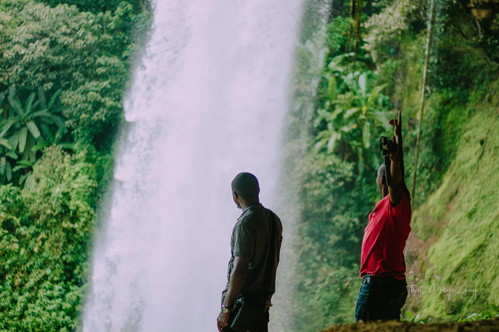
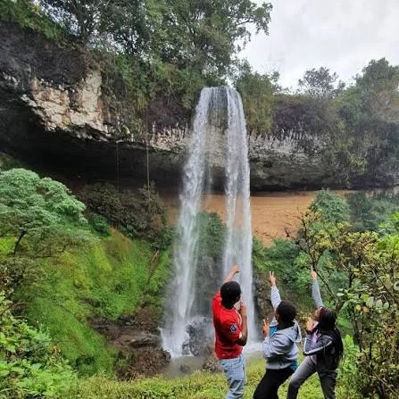
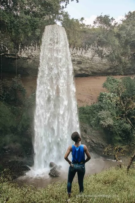
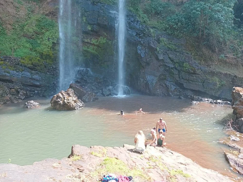
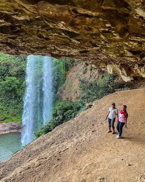
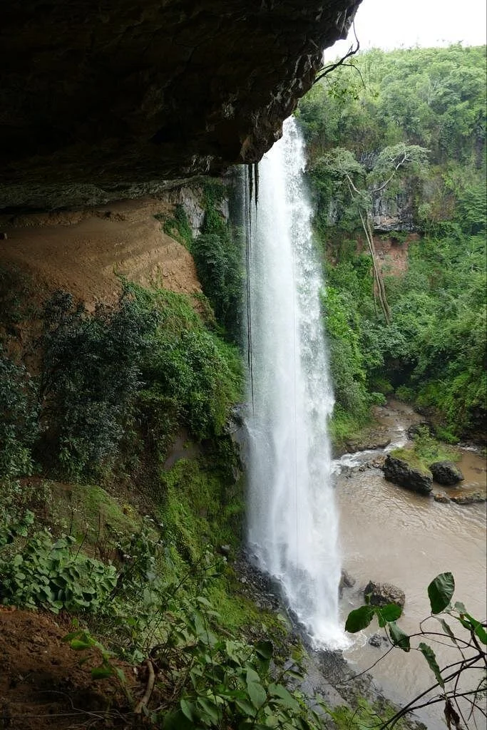
Kaporogwe Falls: water, rock and green highland scenery Kaporogwe Falls is a rewarding natural landmark for travellers exploring the countryside around Tukuyu in Tanzania’s Southern Highlands. Water drops over a projecting rock ledge into a lower pool, with vegetation framing the scene and a large sheltered recess beneath the overhang. The combination of moving water, exposed rock and green surroundings gives the falls a distinctive character. It is a place to slow down, enjoy a guided walk and appreciate a different side of the Mbeya region. The falls are also written as Kapologwe, and Kala Falls is an older name associated with the site. Rungwe District Council identifies the destination in Isuba village, Kisondela Ward, Rungwe District, Mbeya Region. Use these local place names when confirming your route, because spellings and transfer estimates vary between descriptions. Tukuyu is a useful planning base, while Mbeya can suit a longer regional itinerary. The waterfall and its remarkable overhang The main attraction is the contrast between the falling water and the ledge from which it drops. A wide cave-like recess beneath the rock creates an unusual setting behind the waterfall. District visitor information describes views from different positions around the falls, including the rear of the water curtain. Which positions are currently accessible depends on permission, trail condition and river flow, so agree the actual visitor route with a knowledgeable local guide. Enjoying the overhang does not require making a close approach in every season. From a permitted viewpoint, you can observe the shape of the ledge, the movement of the water and the vegetation around the pool. Spray, slippery rock and exposed edges need care. If the route behind the water is unavailable, a visit can still offer memorable views and photography from other approved positions. A landscape shaped by water and rock The falls belong to the wider Kiwira river system. Tourism descriptions identify the stream as the Kala River, a tributary of the Kiwira. Geological field research at Kaparogwe documents sandstone and siltstone layers between basalt flows, giving the exposed rock a deeper scientific interest. A guide’s interpretation can help you look more closely at the landscape without collecting samples or stepping into restricted areas. Avoid treating a published waterfall height as a precise survey result: reported figures differ. The attraction is the experience of the water and its setting rather than a size ranking. River flow also changes with rainfall. Fuller flow may produce more force and spray, while lower flow can reveal more of the ledge and rock surface. Neither condition should be promised for a particular travel date. What a guided visit can include Begin with an orientation to the site and a discussion of the viewpoints available that day. Walk at a pace that allows you to notice the surrounding vegetation and understand the route. Once at an appropriate viewing area, take time to listen to the water, study the overhang and photograph the scene. Any descent, pool-side approach or walk into the sheltered recess should be explicitly included in the agreed route and assessed locally. Arrange guiding before departure, especially if you are unfamiliar with the area. Ask about the walk’s distance, slopes, steps, surface and return time. Do not assume that a photograph of an older visit shows the current trail or visitor facilities. A useful plan includes road transfers, site access, enough time for questions and photographs, and a clear return arrangement to your accommodation. Photography at the falls Kaporogwe offers several ways to tell the story of the landscape. A wider photograph can show the ledge and surrounding greenery, while a closer view can emphasise the texture of the falling water or rock. Work from secure, permitted ground and avoid leaning over edges for a better angle. Keep camera straps attached and protect equipment from spray, rain and dust during the journey. Different viewpoints can produce very different photographs, but no image is worth taking an unsafe route. Do not climb on unstable rock, cross the river or approach the lip of the waterfall independently. A tripod should not obstruct the path. Ask before photographing people, and confirm any separate permission needed for drones or organised commercial filming. Ordinary admission should not be assumed to cover those activities. Nature, birds and the surrounding countryside Birdwatching and nature observation can add interest to a walking visit. The district’s visitor description includes birdwatching, but a reliable waterfall-specific species checklist is not established here. Bring binoculars if you enjoy observing birds and ask your guide what is currently being seen. Encounters are incidental and should be enjoyed without feeding animals, disturbing nests or using recorded calls to attract them. The wider Rungwe landscape is known for its fertile countryside and agricultural character. A journey to the falls can offer a different pace from a safari circuit, with time to appreciate the region’s everyday life as well as its scenery. If you want a village, farm or cultural visit, arrange it separately with the hosts’ consent. Do not enter fields or private land simply because they lie near the road or waterfall. Choosing the season Regional government guidance describes rains generally from October to May and colder, drier conditions from June to September. The drier core can be convenient for walking and rural road travel, although wet rock and slippery ground may remain close to the falls. Highland weather can change, so check the forecast and current route information rather than relying on a calendar alone. Rainy-season travel can offer green surroundings and stronger water flow, but heavy rain can affect the approach and reduce the choice of safe viewpoints. Keep the programme flexible and follow a guide’s recommendation to shorten or postpone an outing if conditions require it. May and October can be considered transition months, with the actual start and end of rainfall varying each year. Getting there and where to stay Plan the final road approach through the Tukuyu area to Isuba village in Kisondela Ward. Your organiser should confirm the correct meeting point, turn-off, vehicle requirements and current road condition. Distances and timings in general travel listings vary and may refer to different starting points. Ask for an estimate from your actual accommodation, including time for the local approach and return journey. For a longer trip, Mbeya is a regional gateway and Songwe Airport can form part of the arrival plan, subject to current flights and onward road arrangements. Regional bus or rail travel also needs date-specific checks. Consider accommodation in Tukuyu or Mbeya according to your route. Do not assume lodging, a restaurant or a serviced campsite is available at the waterfall itself. What to bring and who the visit suits Bring footwear with dependable grip, drinking water, sun protection and a light rain layer. A warmer layer may be useful during cooler highland weather. Keep essentials in a small daypack and protect electronics from moisture. Confirm toilets, refreshments, parking and other facilities before setting out, especially when travelling with children or a group. Families should request a route suited to their children’s age and stamina, with close supervision near water and cliff edges. Visitors with limited mobility need specific information about surfaces, gradients, steps and assistance. A waterfall outing should not be advertised as automatically wheelchair accessible. Share your preferences before booking so the available viewpoints and walking plan can be assessed honestly. Local stories and responsible visiting Storytelling features in the district’s description of the attraction and can be a meaningful part of local interpretation. Listen respectfully and distinguish community accounts from established historical or scientific evidence. Ask permission before photographing people or entering any culturally significant place. The landscape deserves care: stay on agreed paths, carry litter out and leave plants, rocks and natural objects undisturbed. Do not plan swimming, cliff jumping, diving or independent climbing as part of this visit. The pool’s appearance does not establish its depth, currents or suitability for bathing. Enjoy the water from locally approved viewing positions and follow the day’s guidance. Leave enough daylight for the walk out and rural road transfer back. A broader Southern Highlands itinerary Kaporogwe can add a scenic walking stop to a stay around Tukuyu. Depending on your interests, separately arranged visits might include the Kiwira river landscape, Lake Ngozi, Mount Rungwe or a longer journey towards Lake Nyasa. These attractions need their own access arrangements and travel time. Build a balanced programme that gives the waterfall a clear place in the day rather than rushing between distant stops. Tell TanzaLux your dates, starting point, group size and preferred level of walking. Your proposal can bring together locally confirmed access, guiding, transfers and regional accommodation. Ask it to state current fees, available viewpoints and included services. With a thoughtful plan, Kaporogwe Falls becomes an enjoyable encounter with the Southern Highlands’ water, geology and countryside. .
November–April: within the region’s generally wetter period. Green surroundings and stronger flow can enhance the scenery, but rain may affect rural roads, slippery walking surfaces, spray and available viewpoints. Confirm local conditions before departure and keep the outing flexible. Behind-water access is not guaranteed.
May and October: transition months, with rainfall timing varying between years. Ask for current road and trail advice and choose a route suited to the group’s fitness. Allow time to enjoy the waterfall without assuming a particular water volume or that all viewing positions are open.
June–September: described in regional guidance as the colder, drier core of the year. These months can suit walking and local road travel, while spray and wet rock still require care near the falls. Bring layers, drinking water and grippy footwear. Check current access and river conditions.
Plan the local road approach through the Tukuyu area to Kaporogwe/Kapologwe Falls at Isuba village, Kisondela Ward, Rungwe District, Mbeya Region. Confirm the spelling, correct turn-off, meeting point, final road condition and vehicle suitability with your local organiser. Obtain a transfer estimate from your actual accommodation; published distances and timings vary. Tukuyu can be a convenient base, while Mbeya suits broader regional travel. Songwe Airport may form part of the arrival plan if suitable current flights are available, with an arranged onward road transfer. Check bus or rail services separately for your dates. Arrange site access and a local guide, confirm current charges and visitor hours, and ask about toilets, parking, refreshments and the walking route. Include time for both the return walk and daylight road travel. Rear-overhang, lower-pool or cliff-side routes need specific local permission and condition checks; do not assume they are included.
The falls are at Isuba village in Kisondela Ward, Rungwe District, Mbeya Region, in Tanzania’s Southern Highlands. Tukuyu is a useful nearby planning base.
Yes. Kaporogwe is a common tourism spelling, while Rungwe District Council uses Kapologwe Waterfalls. Confirm the village and ward as well as the name when arranging transport.
Kala Falls is an older name associated with the destination in district visitor information. A local guide can explain the names and community stories, distinguishing oral accounts from established facts.
A projecting rock ledge and large cave-like recess behind the water create an unusual setting. Enjoy the waterfall and exposed rock from viewpoints that are permitted and suitable for the day’s conditions.
Reported heights differ, and a current precise survey figure is not established here. This page focuses on the scenery and visitor experience rather than presenting one uncertain measurement as exact.
The falls are part of the wider Kiwira river system. Tourism descriptions identify the stream as the Kala River, a tributary of the Kiwira.
District information describes a sheltered area behind the water, but current access is not guaranteed. Arrange a local guide and confirm permission, trail conditions and river flow. Accept an alternative viewpoint when the rear route is unsuitable.
Do not assume a formal cave-tour facility or technical caving activity. The feature is a large recess beneath the waterfall’s rock ledge. Enter only where local permission and conditions allow, following your guide.
Swimming is not included in this destination plan. The pool’s appearance does not establish safe depth, currents or entry conditions. Avoid jumping, diving and independent river crossings, and follow local instructions.
June to September is generally the colder, drier period described in regional guidance and can be convenient for walking. Water volume varies, and wet rock remains possible near the falls. Check current conditions before travelling.
A visit may be possible when access and local conditions allow. Rain can increase flow and spray while affecting roads, trails and available viewpoints. Keep the schedule flexible and follow advice to shorten or postpone the outing if needed.
Arrange the local road route to Isuba village in Kisondela Ward. Confirm the correct turn-off, meeting point, vehicle requirements and final approach. Transfer time depends on your accommodation and current conditions.
Mbeya can be a regional base, and suitable current flights to Songwe Airport may fit your itinerary. Arrange the onward road transfer and confirm schedules for your dates. The waterfall’s local approach needs its own route planning.
Difficulty depends on the viewpoints and route available. Ask about distance, slopes, steps, surfaces and the return walk. Rain and spray can make ground slippery, so choose a route suited to your fitness and footwear.
A knowledgeable local guide is recommended for route selection, current conditions and interpretation. Confirm access and guiding arrangements in advance; do not assume a national-park armed-ranger rule applies.
Assess the exact route for children’s age, stamina and mobility needs. Supervise children closely near water and edges. Request specific details about surfaces, gradients and assistance rather than assuming wheelchair access.
Bring grippy footwear, drinking water, sun protection, a light rain layer and a small daypack. A warmer layer can help in cool highland weather. Protect cameras and phones from spray and rain.
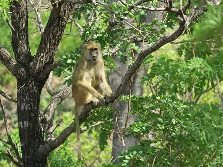
Waterfall and rock scenery are the main photographic subjects, with incidental birdwatching as an additional interest. No fixed species checklist or dedicated game-viewing experience is promised. Photograph from secure permitted ground and ask before photographing people.
Confirm current access charges, visitor hours and booking arrangements with your organiser or site contact. Ask separately about toilets, parking, refreshments and any available services. Older development plans do not prove current facilities.
A tailored trip can combine the falls with separately arranged visits around Tukuyu, the Kiwira landscape, Lake Ngozi, Mount Rungwe or a longer Lake Nyasa journey. Share your dates and walking preferences so realistic travel time and services can be confirmed.
Grateful experience
As a solo female traveler, I felt super safe and well taken care of the entire time.
Read morePrivate Safari 6 days
I can only highly recommend the young company Tanzalux for organizing a private safari.
Read moreAn unforgettable vegetarian journey with Tanzalux Safaris
I highly recommend Tanzalux for anyone wanting a special, personalized safari.
Read moreOur 3-day camping safari with Tanzalux was simply fantastic! Everything was perfectly organized.
Read moreBack in April, I joined a day trip to Tarangire National Park with Tanzalux Safaris, and it was truly one of the best experiences I have ever had…
Read moreI've had an amazing experience with Tanzalux Safaris, would 1000% recommend! Thank you for making my trip so special🫶
Read moreI recently visited Meru Waterfalls in Arusha and got to do some of the activities there, honestly it was such a great experience and I really enjoyed it.
Read moreOur guide Dullah Mr Rastaman had the best vibe. I would like to recommend other people not to miss it, Tarangire is the best national park.
Read moreOur tour guide Nasri was very friendly and welcoming from the first day we met him. He knows Tarangire very well and explained many things during the safari.
Read moreAs a grandmother in the group, I would like to share my happiness with Tanzalux Safaris. Me, my daughters, and my grandson went on a short trip to Tarangire National Park…
Read moreReceive a free, no obligation quote

 Western Circuit
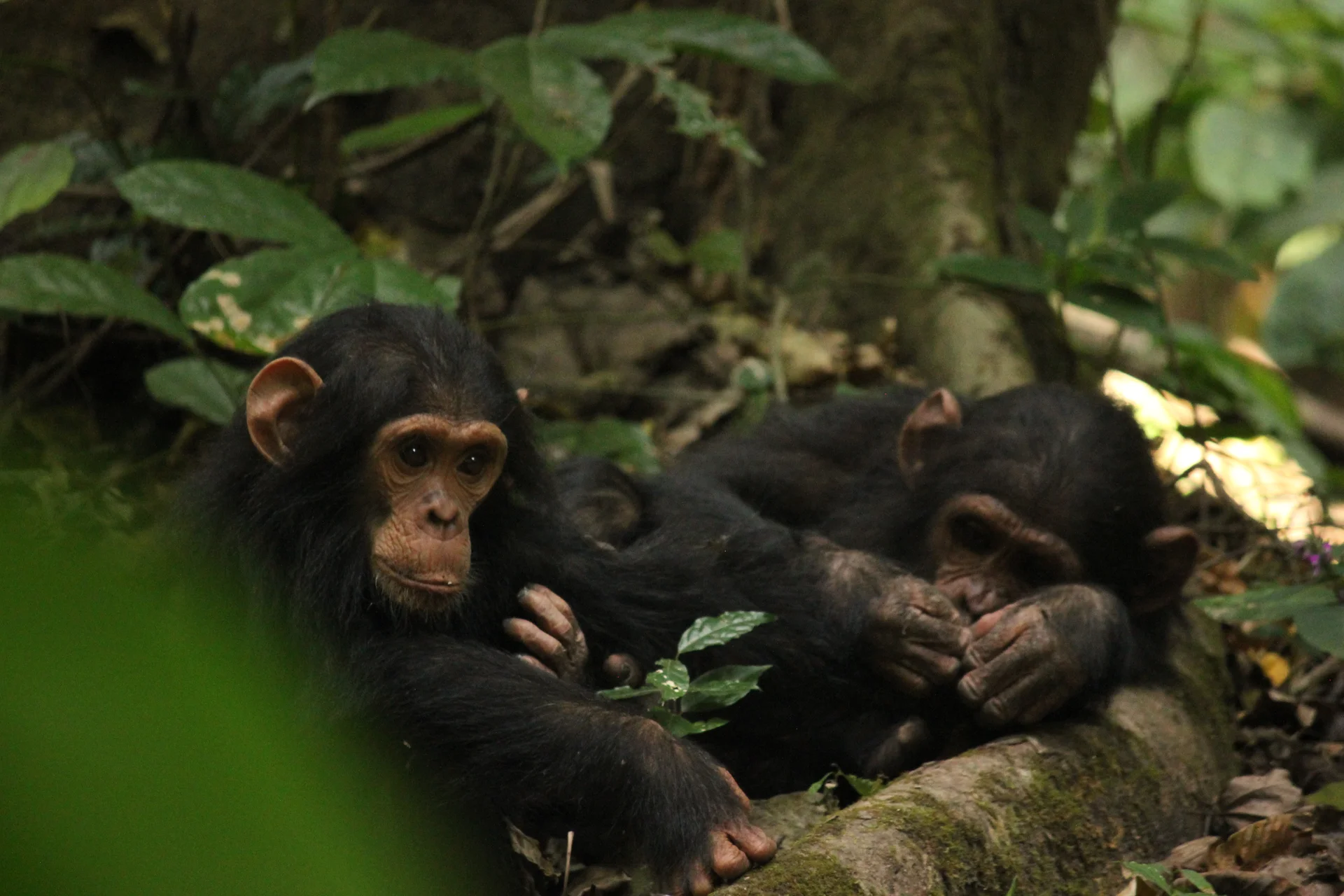
Gombe Stream National Park, also known as Gombe National Park, combines wild chimpanzee trekking with forested hills and the shores of Lake Tanganyika. In Kigoma…
Wildlife
Chimpanzees & Olive baboons
Landscape
National Parks & Safari
Highlights
Wild chimpanzee trekking with park rangers
 Southern Circuit
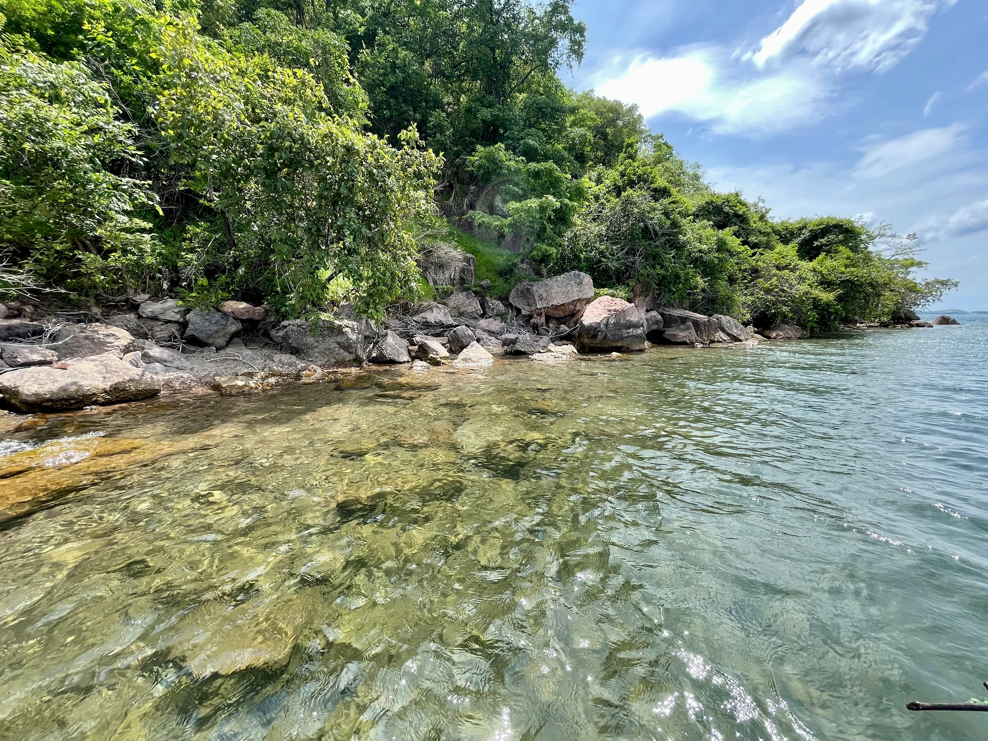
Lake Tanganyika offers a striking freshwater setting along Tanzania’s western frontier: broad blue horizons, wooded shores, bays, beaches and communities whose daily life is closely…
Wildlife
Endemic cichlid fish & Other freshwater fish
Landscape
Lakes & Hot Springs
Highlights
Africa’s deepest freshwater lake in the East African Rift
 Northern Circuit
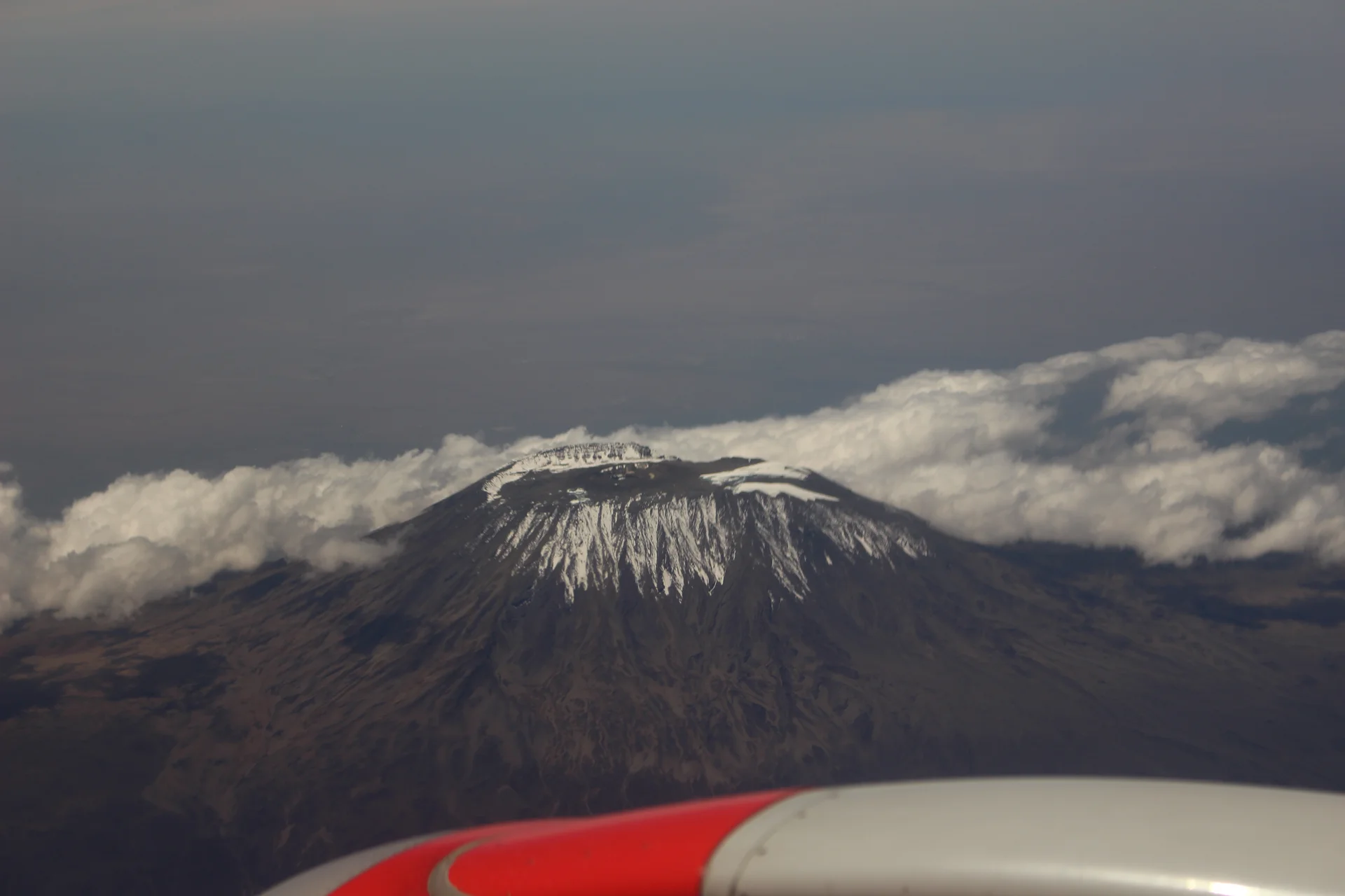
Kilimanjaro rises above northern Tanzania’s plains to Uhuru Peak at 5,895 metres, the highest point in Africa. Its volcanic massif, dramatic changes in vegetation and…
Wildlife
Black-and-white colobus monkeys in forest habitats & Blue monkeys in forest habitats
Landscape
Mountains & Trekking
Highlights
Uhuru Peak at 5,895 metres — Africa’s highest point
 Western Circuit
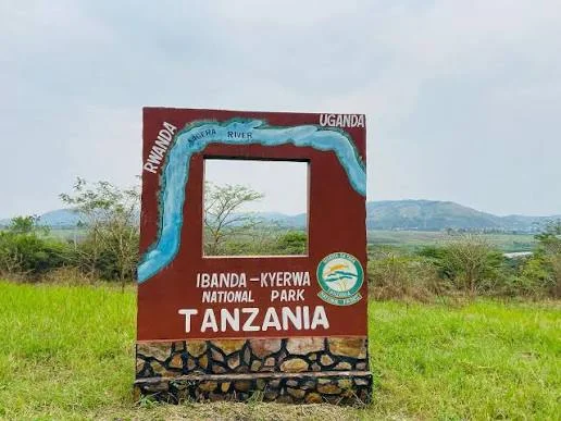
Ibanda-Kyerwa National Park protects a scenic corner of northwestern Tanzania, where the Kagera River meets a landscape of savanna, wooded slopes, valleys and wetlands. Situated…
Wildlife
Buffalo & Roan antelope
Landscape
National Parks & Safari
Highlights
Kagera River scenery on Tanzania’s northwestern border
 Zanzibar & Islands
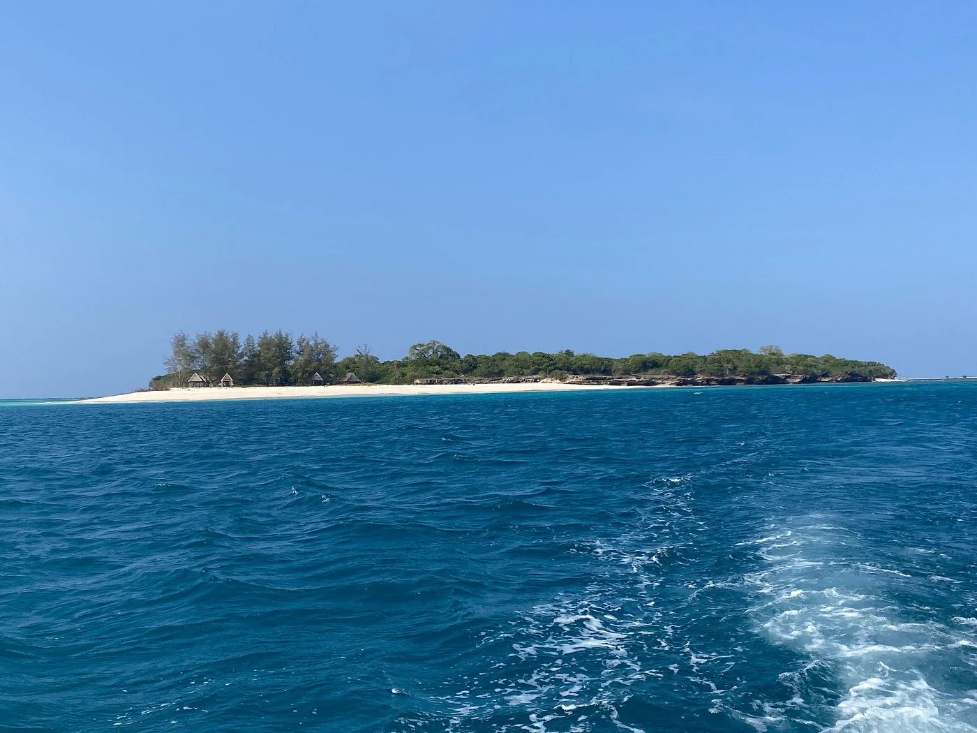
Sinda Island Marine Reserve offers an Indian Ocean escape off Kigamboni, on the southern side of Dar es Salaam. The reserve encompasses Inner and Outer…
Wildlife
Reef fish & Coastal birds
Landscape
Beaches & Islands
Highlights
Inner and Outer Sinda islands
 Northern Circuit
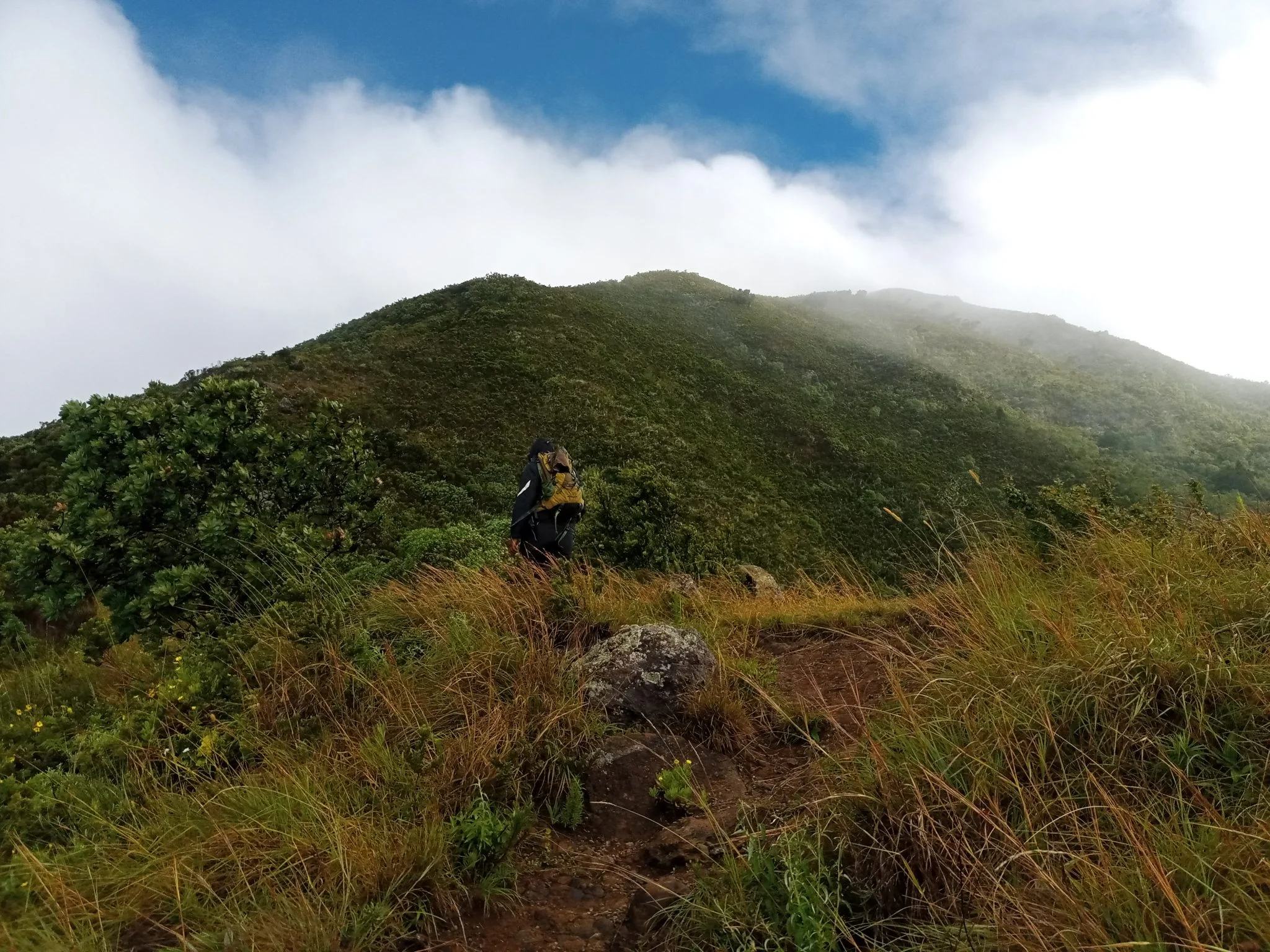
Discover Mount Hanang Rising above Katesh in Tanzania’s Manyara Region, Mount Hanang offers a rewarding mountain adventure beyond the familiar northern safari circuit. At approximately…
Wildlife
Klipspringer & Vervet monkeys
Landscape
Mountains & Trekking
Highlights
Approximately 3,423 metres — Tanzania’s fourth-highest mountain