 5.0 Excellent

Dorine M1 year ago

Grateful experience
As a solo female traveler, I felt super safe and well taken care of the entire time.
Read more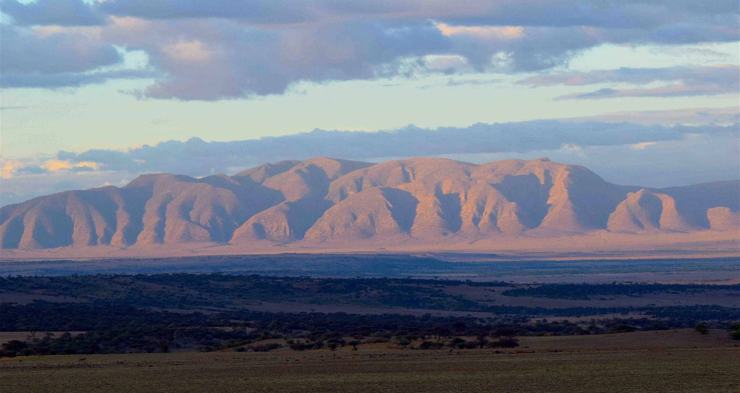
Northern Circuit
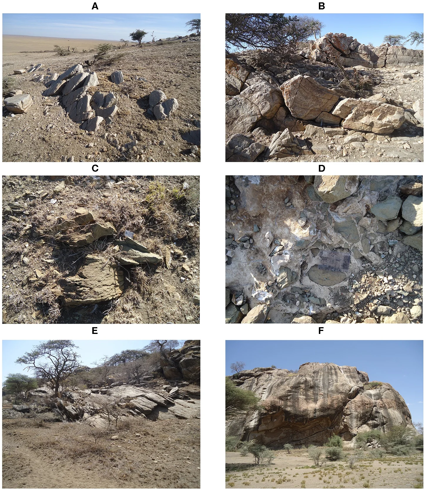
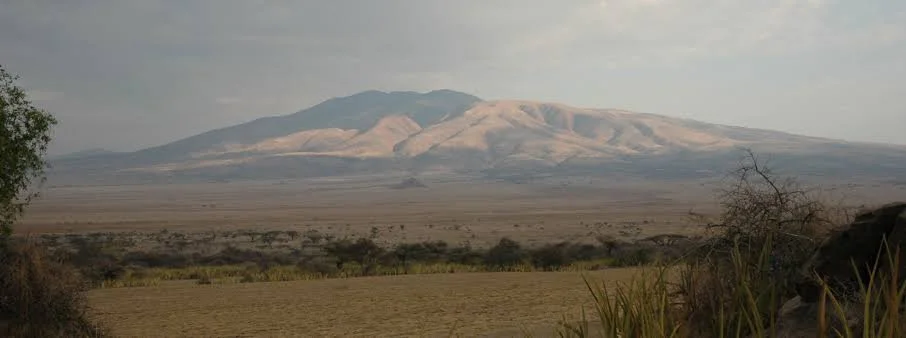
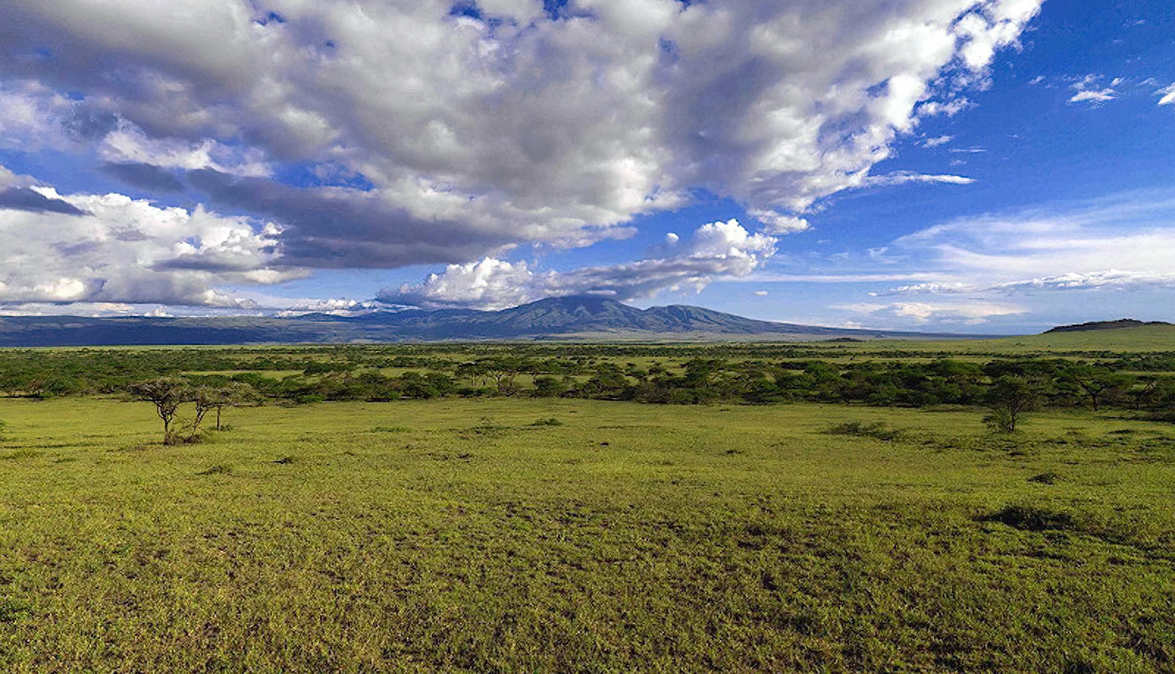
Discover the Gol Mountains The Gol Mountains rise from the open plains at the northern end of Tanzania’s Ngorongoro Conservation Area, close to the Serengeti boundary. Rugged rock, wide horizons and rain-dependent grasslands give this landscape a distinctive character. A thoughtfully planned visit can combine scenic driving, an approved guided walk, geological interpretation and seasonal wildlife observation. It suits travellers who want time to explore the wider conservation area beyond the famous Ngorongoro Crater. Gol is a mountain range and surrounding landscape, rather than a single summit with one standard climbing route. Its attractions are spread across rocky hills, plains and nearby geosites, so the experience should be shaped around your interests, fitness, available time and current access conditions. The area belongs within the Ngorongoro travel context; visiting Gol should not be confused with entering a separate national park or booking a crater-floor game drive. Ancient rocks and a landscape shaped by faulting The Ngorongoro Conservation Area Authority describes Gol as a fault-bounded mountain range with highly fractured metamorphic quartzite. The official geopark interpretation places these hills within a much older basement-rock landscape, exposed through a long history of geological movement and erosion. These ancient rocks contrast with the younger volcanic features that make the Ngorongoro highlands so recognisable. This difference is one of the most rewarding themes to explore with a knowledgeable guide. Look at the shape of the range, the broken rock surfaces and the relationship between raised terrain and the surrounding plains. A geological visit becomes richer when the guide connects these visible features with the wider region’s history. Leave rock samples where they belong, and avoid climbing unstable outcrops or assuming that every rock face is open to recreational scrambling. Plains, woodland and seasonal wildlife The landscape includes ancient rocky hills with sparse Acacia–Commiphora woodland and open short-grass plains around the range. Vegetation changes noticeably with rainfall. When grasslands receive sufficient moisture, fresh pasture can draw migratory wildebeest, zebra and gazelles into the surrounding plains. During drier conditions, the same area can look much browner and more open, changing both the scenery and the wildlife opportunities. A Gol visit can therefore complement a broader safari, but the presence of large herds should never be treated as a fixed-date attraction. Migration movements follow changing grazing and water conditions across the wider ecosystem. Ask your guide about recent observations, and allow the day’s route to respond to actual animal distribution rather than a rigid calendar. The mountain setting, geological features and open vistas remain worthwhile even when the main herds are elsewhere. Game drives and photography NCAA lists the Gol Mountains among the conservation area’s game-drive destinations. A guided drive offers a practical way to appreciate the landscape, observe available wildlife and reach the starting point for an approved walk or geosite visit. Arrange an experienced driver who knows the route and conservation regulations, with a vehicle appropriate to current track conditions. For photographers, the relationship between plains, rocky terrain and changing light can be as interesting as close wildlife portraits. Leave room in the itinerary for patient observation and flexible stops where these are permitted. Carry a lens-cleaning cloth and protect equipment from dust or rain. Follow the driver’s instructions, keep a respectful distance from animals and avoid asking for an unsafe or unauthorised position to obtain a photograph. Walking with the right arrangements NCAA identifies Gol Mountains as a walking destination and requires all walking activities in the Ngorongoro Conservation Area to be accompanied by an armed ranger, booked and arranged beforehand. Plan the walk through your organiser and the authority, with an approved route, starting point and suitable level of support. Local interpretation can add depth to the outing, but does not replace the required ranger arrangement. There is no single walking distance or duration that describes every Gol visit. A shorter landscape walk and a longer excursion through uneven terrain require different levels of fitness, preparation and time. Discuss the complete route, including the return, before setting out. Choose an itinerary suited to the least experienced person in the group, and leave scope to change the plan when heat, rain, wildlife or ground conditions make that necessary. Olkarien Gorge and Nasera Rock The official Ngorongoro–Lengai Geopark North Route leads from Loduare Gate toward Olkarien Gorge at the base of the Gol Mountains. The gorge cuts through quartzite on the eastern side and is associated with nesting Rüppell’s griffon vultures. A separately arranged visit can add an impressive gorge landscape and a birdwatching dimension. Observe from the positions recommended by the ranger and guide, avoiding disturbance to nesting birds. Nasera Rock lies in the southwestern part of the Gol Mountains and provides another geological contrast, with gneiss and granitic pegmatite. These sites can complement a wider journey through the area, alongside other geosites on the official route. Their inclusion depends on permissions, road and walking conditions, starting location and available time. Do not assume that the range, gorge, rock and every other attraction can all be covered comfortably in a single day. Choosing a season Northern Tanzania generally has long rains around March–May and short rains around October–December, with substantial variation between years. June–October is broadly the drier planning window and can be useful for walks and road travel. Wetter periods may bring greener plains and attractive wildlife conditions, while access can become more demanding where tracks are muddy or drainage channels carry water. Choose timing according to your main objective, then check conditions close to departure. Wildlife-focused visitors may value rain-supported grazing, while walkers may prefer firmer ground. Carry both sun protection and a rain layer, and allow the guide to adjust the route. Seasonal advice is a planning aid, not a guarantee of clear skies, passable tracks or a particular animal sighting. Getting there and arranging a stay A visit is usually planned as an overland part of a northern Tanzania safari, using the permitted route through Ngorongoro. Travellers arriving through Kilimanjaro International Airport or Arusha Airport need an onward transfer. Arusha and the Karatu–Ngorongoro corridor can be part of the approach, but the exact journey depends on the chosen accommodation, access route and other destinations in the itinerary. Select accommodation according to the route and the time needed on the ground. Confirm how far the agreed starting point is from your overnight base, what meals and drinking water are provided, and whether early departure and return transport are included. Camping or extended walking arrangements need separate confirmation; do not assume unrestricted camping, a staffed mountain hut or facilities along the route. Obtain current transfer estimates rather than relying on a universal driving time. Respecting the landscape and its communities Ask permission before photographing people, and arrange any community encounter with willing hosts and local guidance. Follow conservation-area rules, stay with the ranger on walks, carry out litter and leave geological or archaeological material undisturbed. Keep noise low near wildlife and avoid approaching nests or feeding animals. Before travelling, confirm entry requirements and current charges, the approved route, driver and vehicle, ranger booking, walking difficulty, weather and track assessment, food and water, accommodation and emergency arrangements. TanzaLux can help build a Gol Mountains visit around your interests, with the logistics checked before the itinerary is confirmed.
March–May usually brings the long rains. Greener pasture may attract migratory animals to surrounding plains, while mud and flowing drainage channels can restrict tracks or walks. Confirm the actual route and conditions shortly before departure, and allow the itinerary to change. Herd presence follows rainfall and grazing rather than a fixed date.
October–December commonly includes the short rains, and January–February may offer drier intervals with variable wildlife distribution. This can be an interesting period for changing landscapes and seasonal grazing, but current observations and route advice remain essential. Carry sun protection and a rain layer.
June–October is broadly the drier planning window in northern Tanzania and can suit walking and road travel. Expect a more brown or dusty landscape in dry conditions, with wildlife distribution varying across the wider ecosystem. Arrange the ranger and approved walk in advance; seasonal timing does not guarantee access or sightings.
Plan Gol Mountains as an overland excursion within the Ngorongoro Conservation Area. The official Ngorongoro–Lengai Geopark North Route runs from Loduare Gate toward Olkarien Gorge at the base of the range, near the Serengeti boundary. Kilimanjaro International Airport and Arusha Airport are possible arrival points, followed by road transfers; Arusha and the Karatu–Ngorongoro corridor may form part of the approach. Use an experienced driver and a vehicle suited to current tracks. Travel time depends on the overnight base, permitted route, conditions and stops, so request a current estimate. Confirm NCA entry arrangements and charges, any onward park permissions, the approved walk and armed ranger booking, food and drinking water, accommodation and return transport before departure.
The Gol Mountains lie at the northern end of the Ngorongoro Conservation Area in northern Tanzania, close to the Serengeti boundary. The visit involves a range, surrounding plains and separately arranged nearby sites.
No. Plan this destination within the Ngorongoro Conservation Area. It has conservation-area access and activity arrangements, rather than a separate Gol Mountains national-park entry.
No. Gol is a mountain-range landscape in northern Ngorongoro. The famous crater is a different attraction, and a crater game drive does not automatically include a Gol Mountains visit.
NCAA describes a fault-bounded range with highly fractured metamorphic quartzite. The landscape reflects ancient basement rocks, fault movement and long-term erosion, contrasting with the younger volcanic features of the Ngorongoro highlands.
Gol combines rugged rocky scenery, open plains, geological interest, approved walking and seasonal wildlife opportunities. It also connects with the wider Geopark North Route and nearby sites such as Olkarien Gorge and Nasera Rock.
The surrounding plains can attract migratory wildebeest, zebra and gazelles when grazing conditions are suitable. Wildlife distribution changes with rainfall and herd movements, so no species or concentration is guaranteed.
Migratory herds may use the surrounding plains when grazing and water conditions suit them. Their presence is variable rather than fixed to a reliable calendar date; ask your guide about recent observations before choosing the day’s route.
June–October is generally the drier window for walking and road travel. Rain-supported green periods can be attractive for wildlife and scenery, but tracks and walks may be more challenging. Choose timing around your interests and current local advice.
The landscape can become browner and dustier as vegetation dries. This may suit scenic driving and walking where access is suitable, but large migratory herds may be elsewhere in the ecosystem.
Yes. NCAA lists Gol Mountains among its game-drive destinations. Arrange a driver who knows the permitted route and current conditions, with a suitable vehicle and the required conservation-area entry arrangements.
Walking activities in the Ngorongoro Conservation Area require an armed ranger, booked and arranged in advance. Organise an approved walk through the authority and your trip organiser rather than setting out alone.
Confirm NCA entry requirements, current charges, the approved walking route and the armed ranger booking beforehand. Ask whether a local interpreter or additional guide is included, and check separate permissions for other parks or activities in your itinerary.
Difficulty depends on the approved route, ground conditions, heat, duration and the group’s fitness. Uneven rocky terrain can require careful footing. Discuss a suitable outing for the least experienced member of the group and include time for the return.
It can be considered as a separately planned addition. The gorge lies at the base of the Gol Mountains on the eastern side. Access, ranger arrangements, weather, route conditions and available time determine whether the combination is practical.
The gorge is associated with nesting Rüppell’s griffon vultures. Observe from positions recommended by the ranger and guide, maintain a respectful distance and avoid disturbing nesting birds. A particular nesting spectacle is not guaranteed.
Nasera Rock is in the southwestern part of the Gol Mountains and can complement a geological itinerary. Its inclusion depends on the route, conditions, permissions and time available; it is not an automatic stop on every Gol visit.
A community encounter should be arranged with willing hosts and local guidance. Respect customs, ask before photographing people and confirm the nature of the visit and any charges in advance.
Bring enough drinking water and food for the agreed outing, sun protection, sturdy walking footwear, a rain layer and personal essentials. Protect cameras from dust or rain. Ask for an itinerary-specific equipment list if arranging a longer walk or overnight stay.
Travel is usually arranged overland through Ngorongoro, with transfers from your selected overnight base. Kilimanjaro International Airport or Arusha Airport can be arrival points. Choose accommodation to suit the route, and confirm travel time, meals, facilities and any camping permission before departure.
Confirm the route and current access, entry charges, vehicle and driver, ranger booking for walks, difficulty and duration, weather and wildlife observations, water and meals, accommodation, return transport and emergency arrangements. Leave room for the plan to change when conditions require it.
Grateful experience
As a solo female traveler, I felt super safe and well taken care of the entire time.
Read morePrivate Safari 6 days
I can only highly recommend the young company Tanzalux for organizing a private safari.
Read moreAn unforgettable vegetarian journey with Tanzalux Safaris
I highly recommend Tanzalux for anyone wanting a special, personalized safari.
Read moreOur 3-day camping safari with Tanzalux was simply fantastic! Everything was perfectly organized.
Read moreBack in April, I joined a day trip to Tarangire National Park with Tanzalux Safaris, and it was truly one of the best experiences I have ever had…
Read moreI've had an amazing experience with Tanzalux Safaris, would 1000% recommend! Thank you for making my trip so special🫶
Read moreI recently visited Meru Waterfalls in Arusha and got to do some of the activities there, honestly it was such a great experience and I really enjoyed it.
Read moreOur guide Dullah Mr Rastaman had the best vibe. I would like to recommend other people not to miss it, Tarangire is the best national park.
Read moreOur tour guide Nasri was very friendly and welcoming from the first day we met him. He knows Tarangire very well and explained many things during the safari.
Read moreAs a grandmother in the group, I would like to share my happiness with Tanzalux Safaris. Me, my daughters, and my grandson went on a short trip to Tarangire National Park…
Read moreReceive a free, no obligation quote

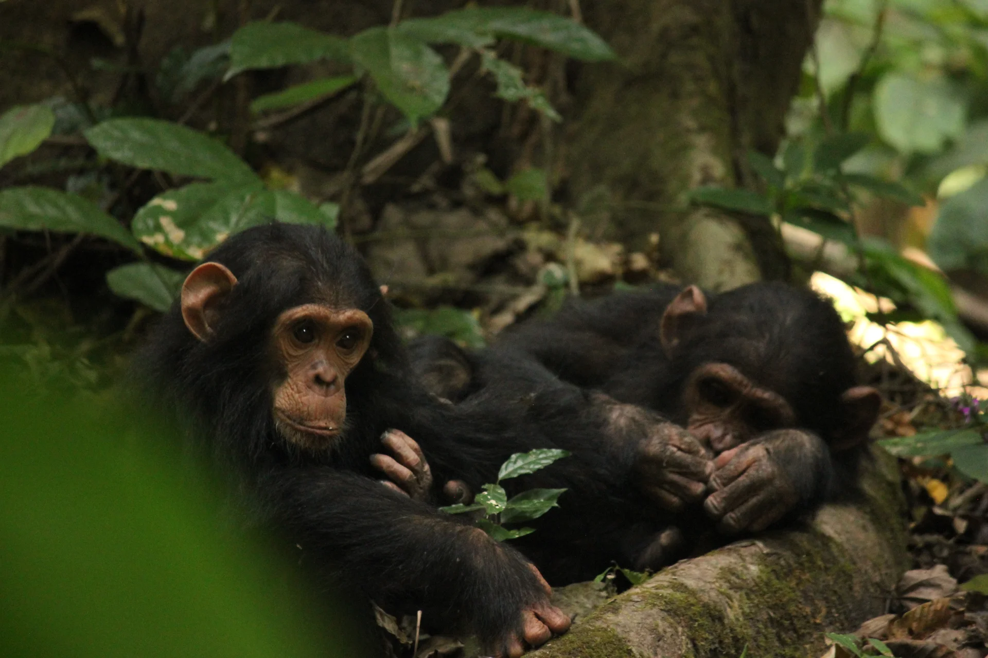 Western Circuit
Gombe Stream National Park, also known as Gombe National Park, combines wild chimpanzee trekking with forested hills and the shores of Lake Tanganyika. In Kigoma…
Wildlife
Chimpanzees & Olive baboons
Landscape
National Parks & Safari
Highlights
Wild chimpanzee trekking with park rangers
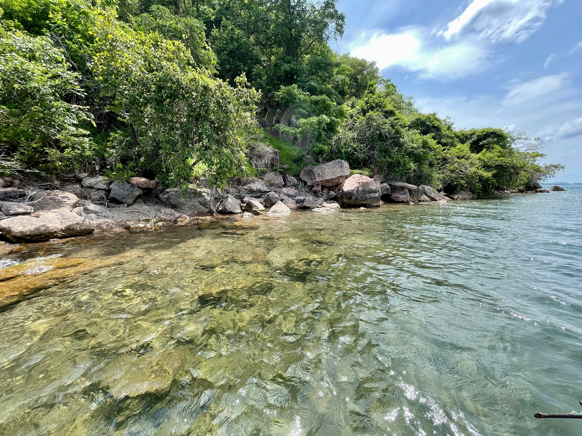 Southern Circuit
Lake Tanganyika offers a striking freshwater setting along Tanzania’s western frontier: broad blue horizons, wooded shores, bays, beaches and communities whose daily life is closely…
Wildlife
Endemic cichlid fish & Other freshwater fish
Landscape
Lakes & Hot Springs
Highlights
Africa’s deepest freshwater lake in the East African Rift
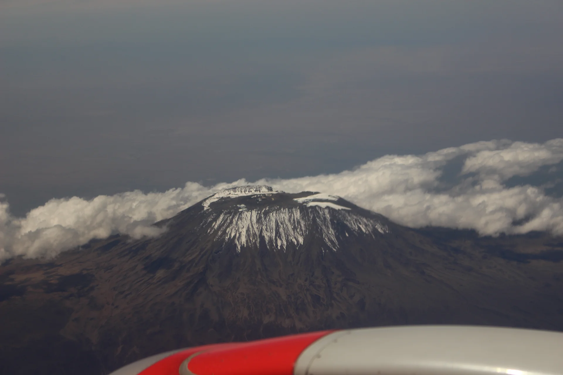 Northern Circuit
Kilimanjaro rises above northern Tanzania’s plains to Uhuru Peak at 5,895 metres, the highest point in Africa. Its volcanic massif, dramatic changes in vegetation and…
Wildlife
Black-and-white colobus monkeys in forest habitats & Blue monkeys in forest habitats
Landscape
Mountains & Trekking
Highlights
Uhuru Peak at 5,895 metres — Africa’s highest point
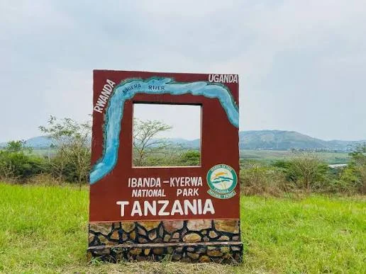 Western Circuit
Ibanda-Kyerwa National Park protects a scenic corner of northwestern Tanzania, where the Kagera River meets a landscape of savanna, wooded slopes, valleys and wetlands. Situated…
Wildlife
Buffalo & Roan antelope
Landscape
National Parks & Safari
Highlights
Kagera River scenery on Tanzania’s northwestern border
 Zanzibar & Islands
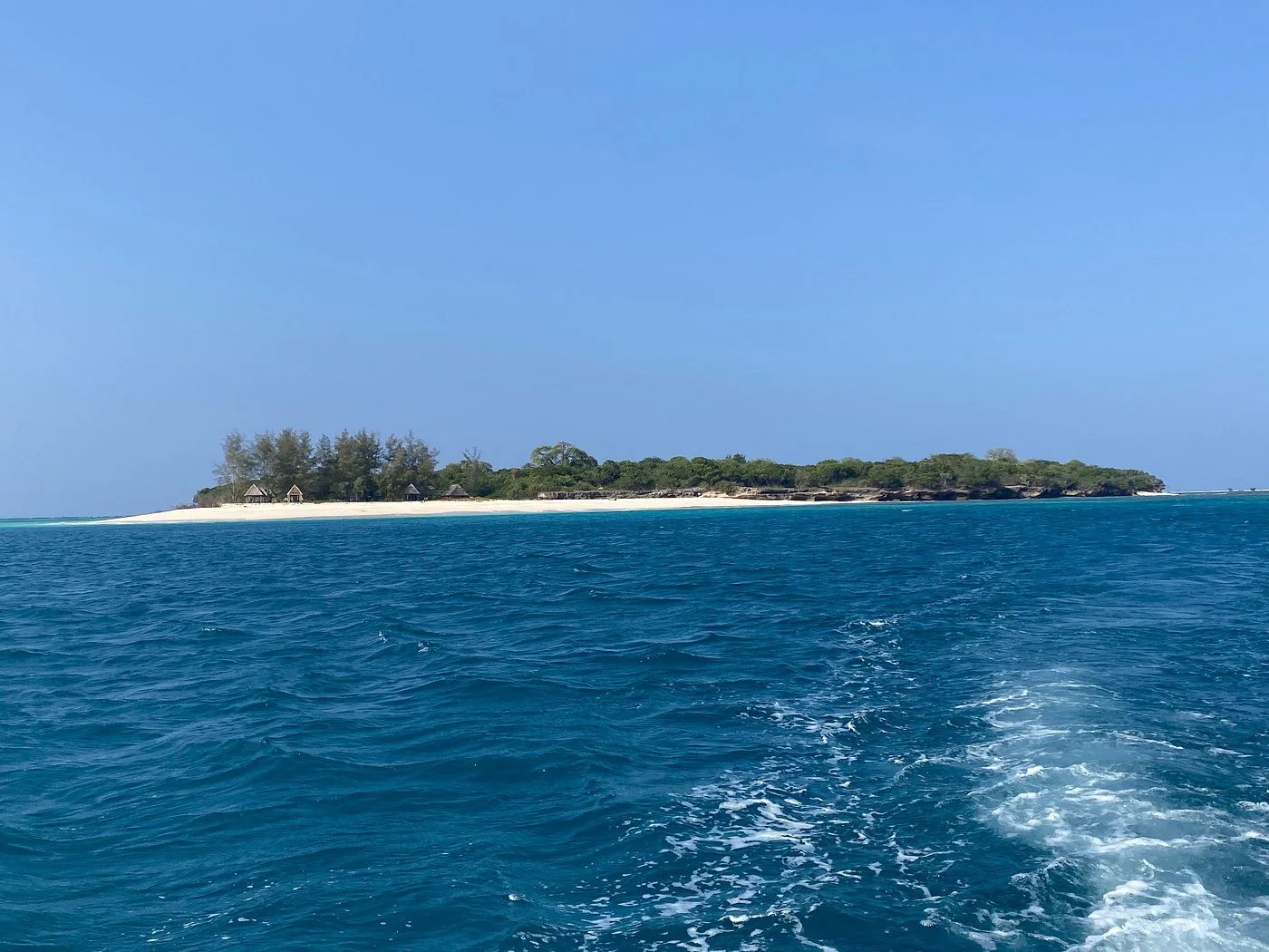
Sinda Island Marine Reserve offers an Indian Ocean escape off Kigamboni, on the southern side of Dar es Salaam. The reserve encompasses Inner and Outer…
Wildlife
Reef fish & Coastal birds
Landscape
Beaches & Islands
Highlights
Inner and Outer Sinda islands
 Northern Circuit
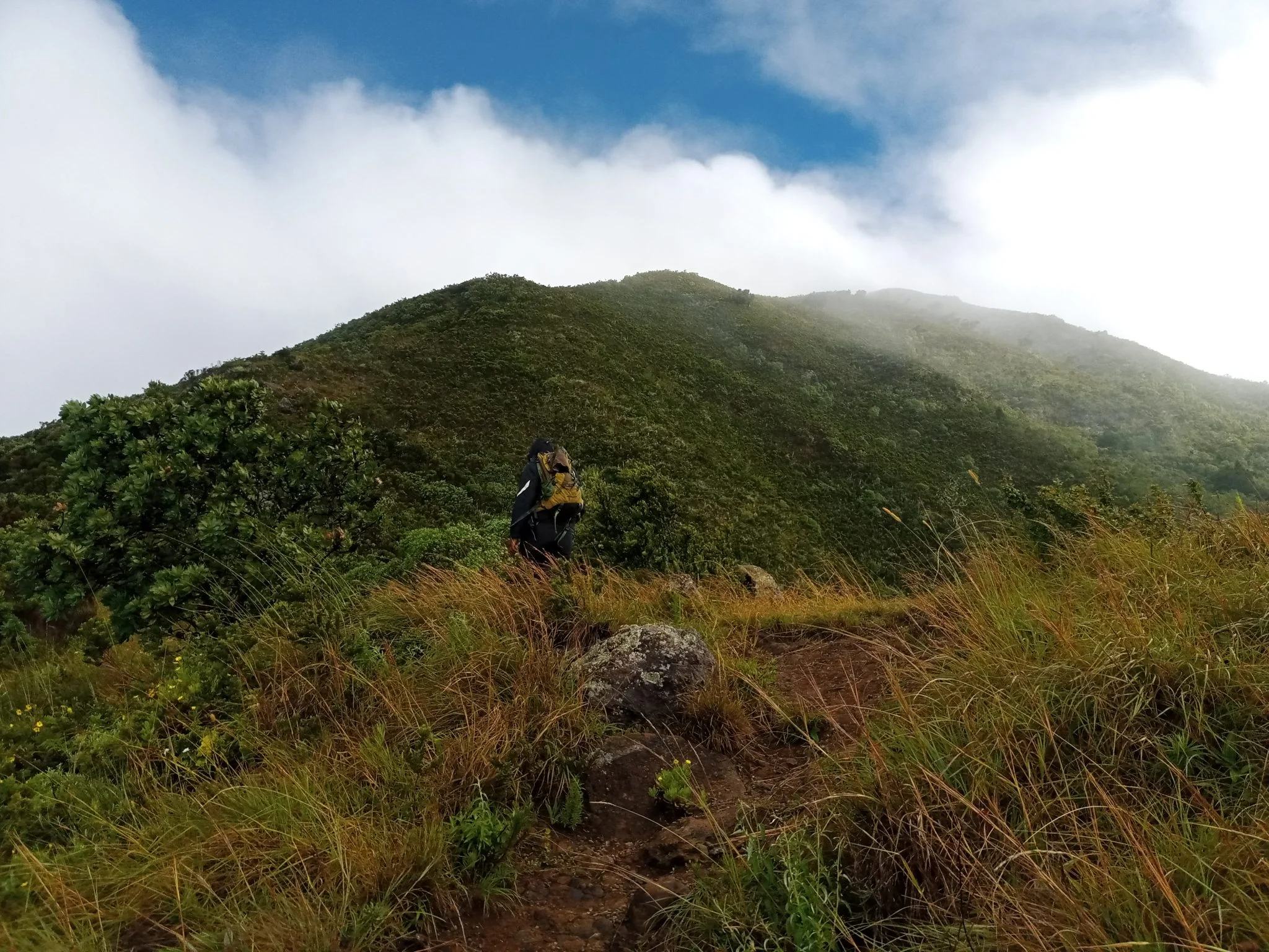
Discover Mount Hanang Rising above Katesh in Tanzania’s Manyara Region, Mount Hanang offers a rewarding mountain adventure beyond the familiar northern safari circuit. At approximately…
Wildlife
Klipspringer & Vervet monkeys
Landscape
Mountains & Trekking
Highlights
Approximately 3,423 metres — Tanzania’s fourth-highest mountain