 5.0 Excellent

Dorine M1 year ago

Grateful experience
As a solo female traveler, I felt super safe and well taken care of the entire time.
Read more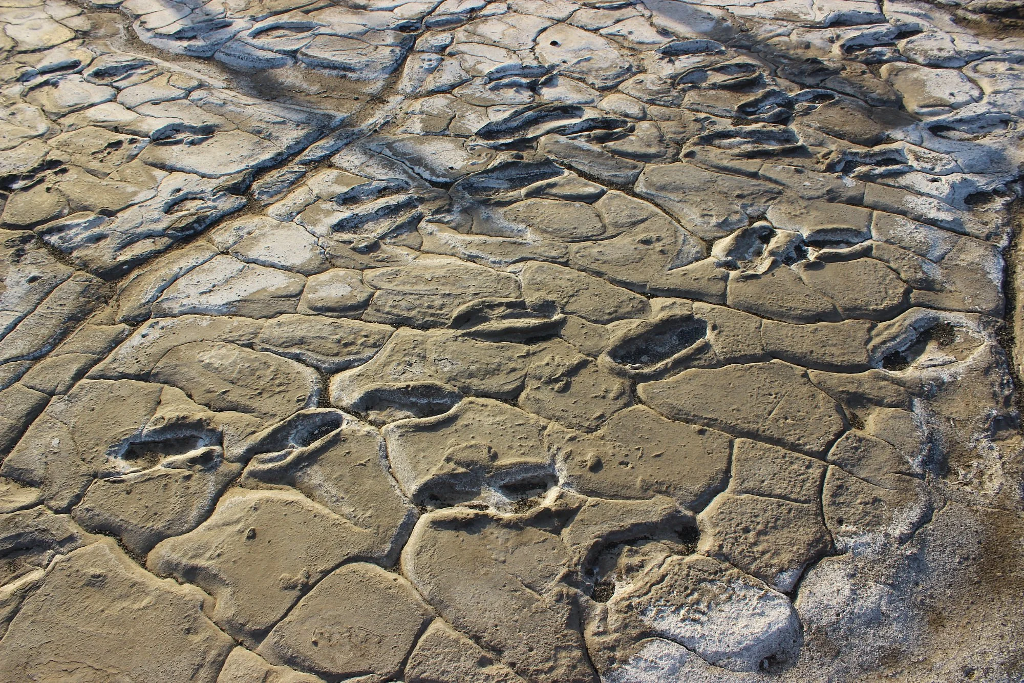
Northern Circuit
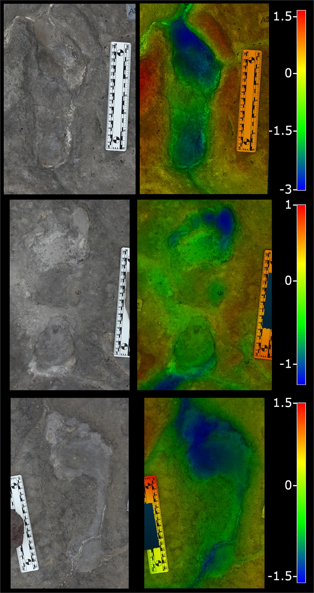
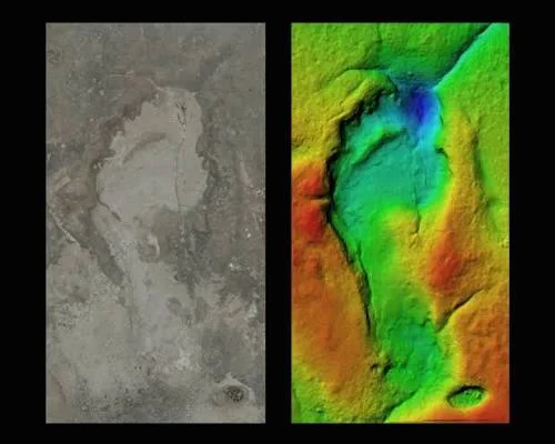
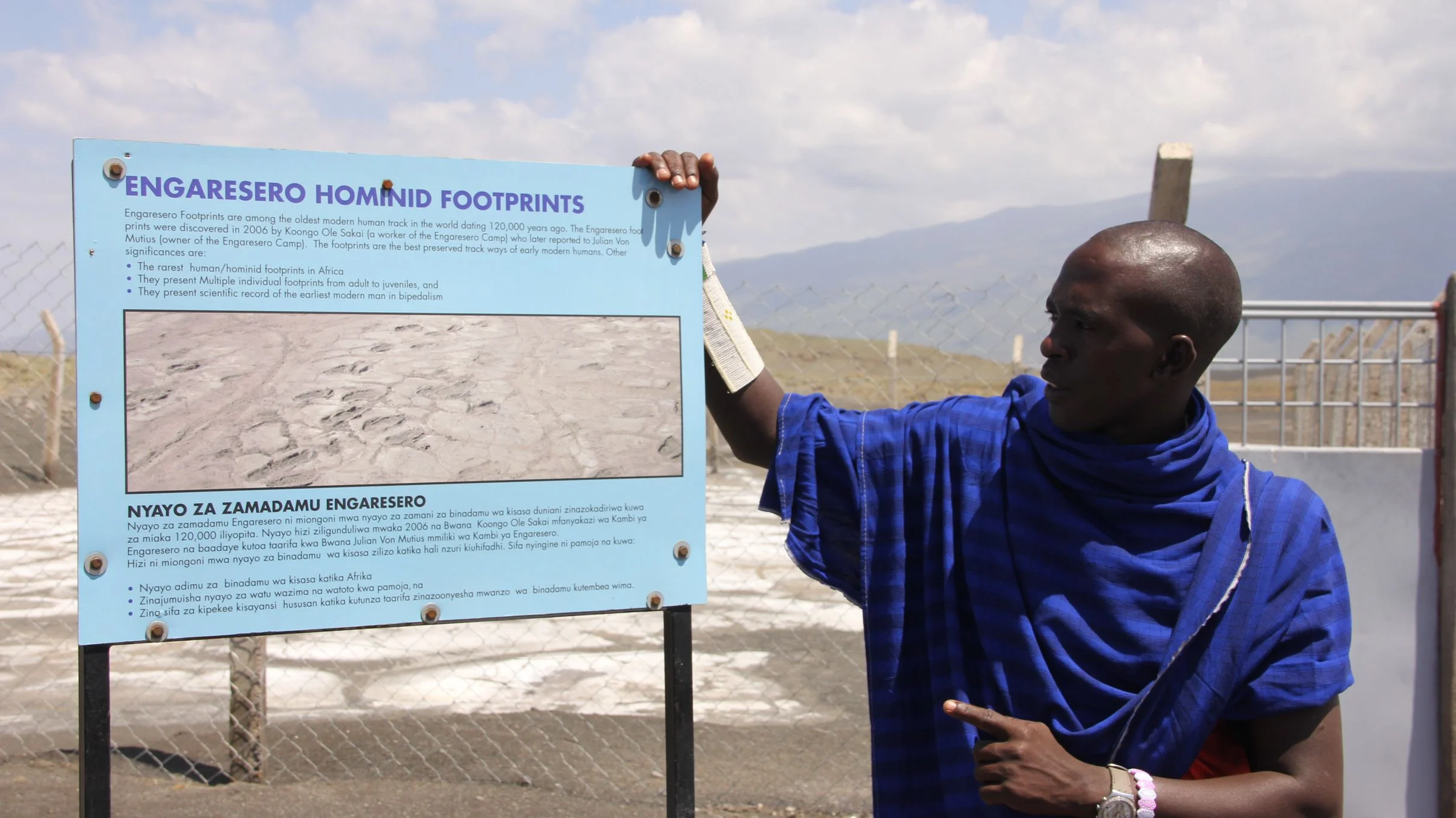
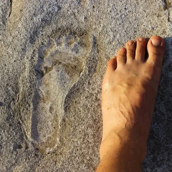
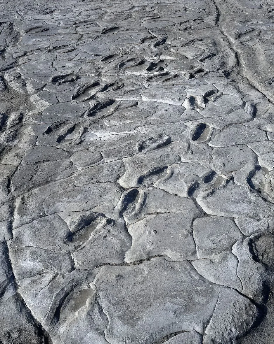
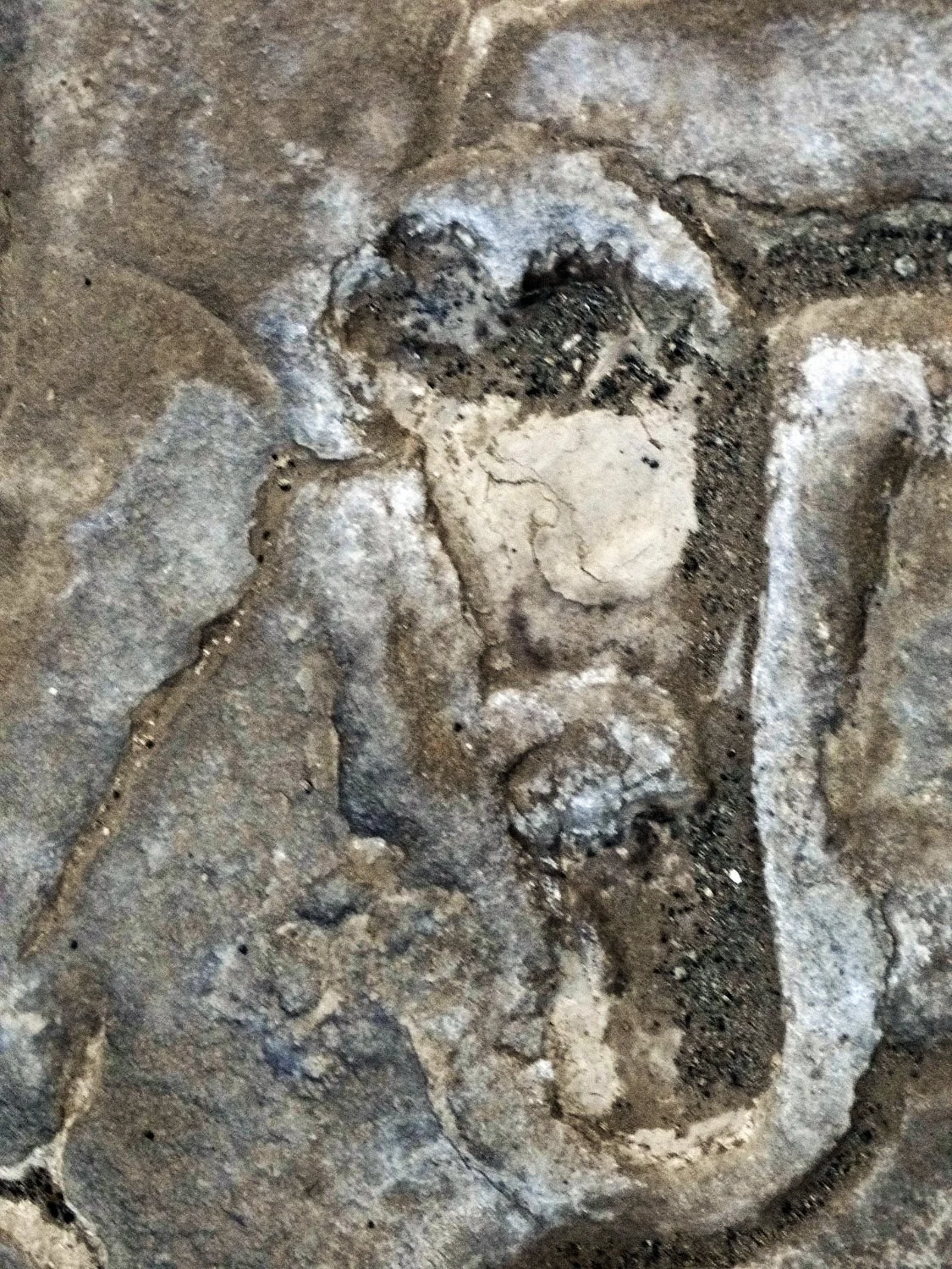
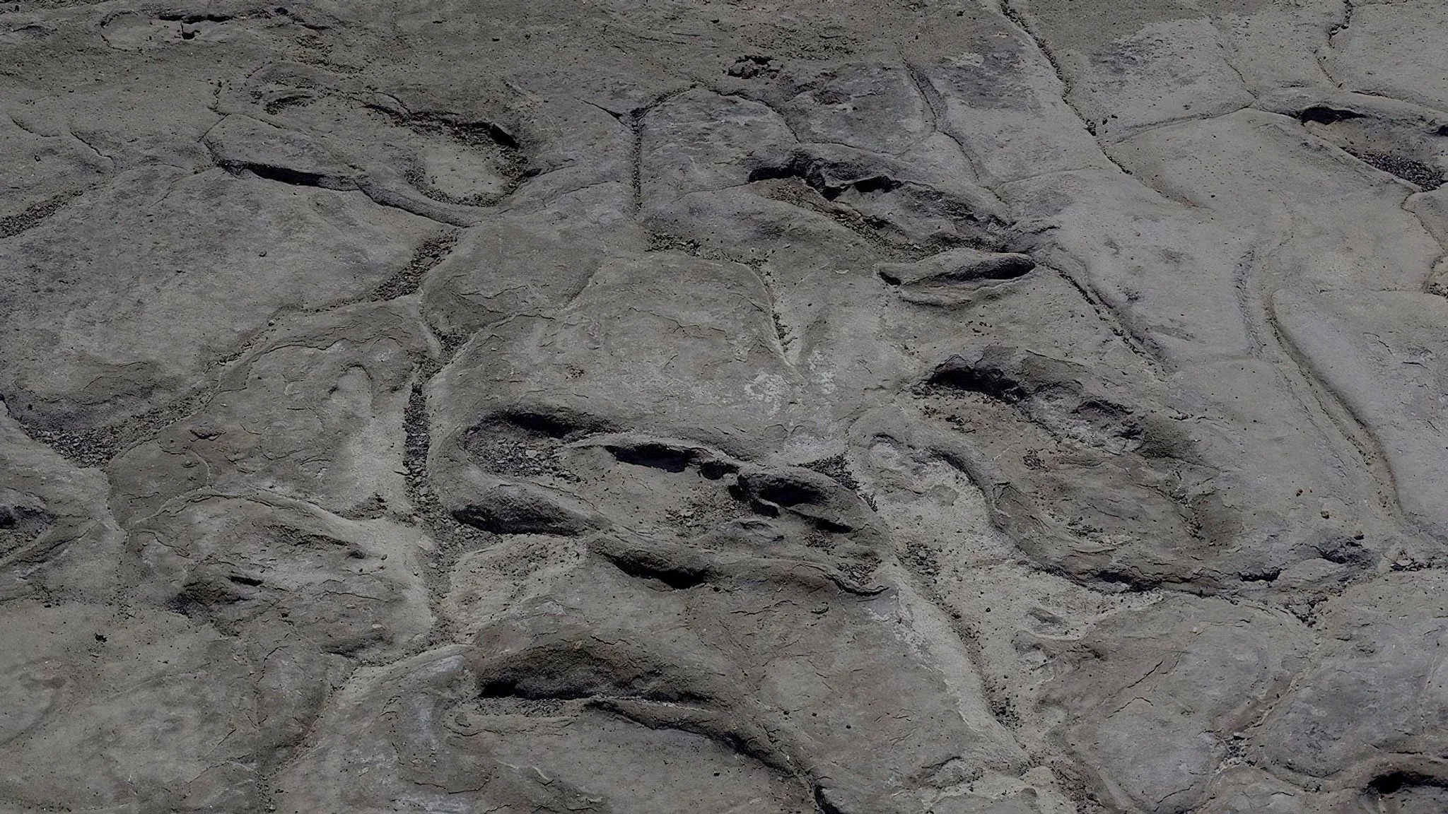
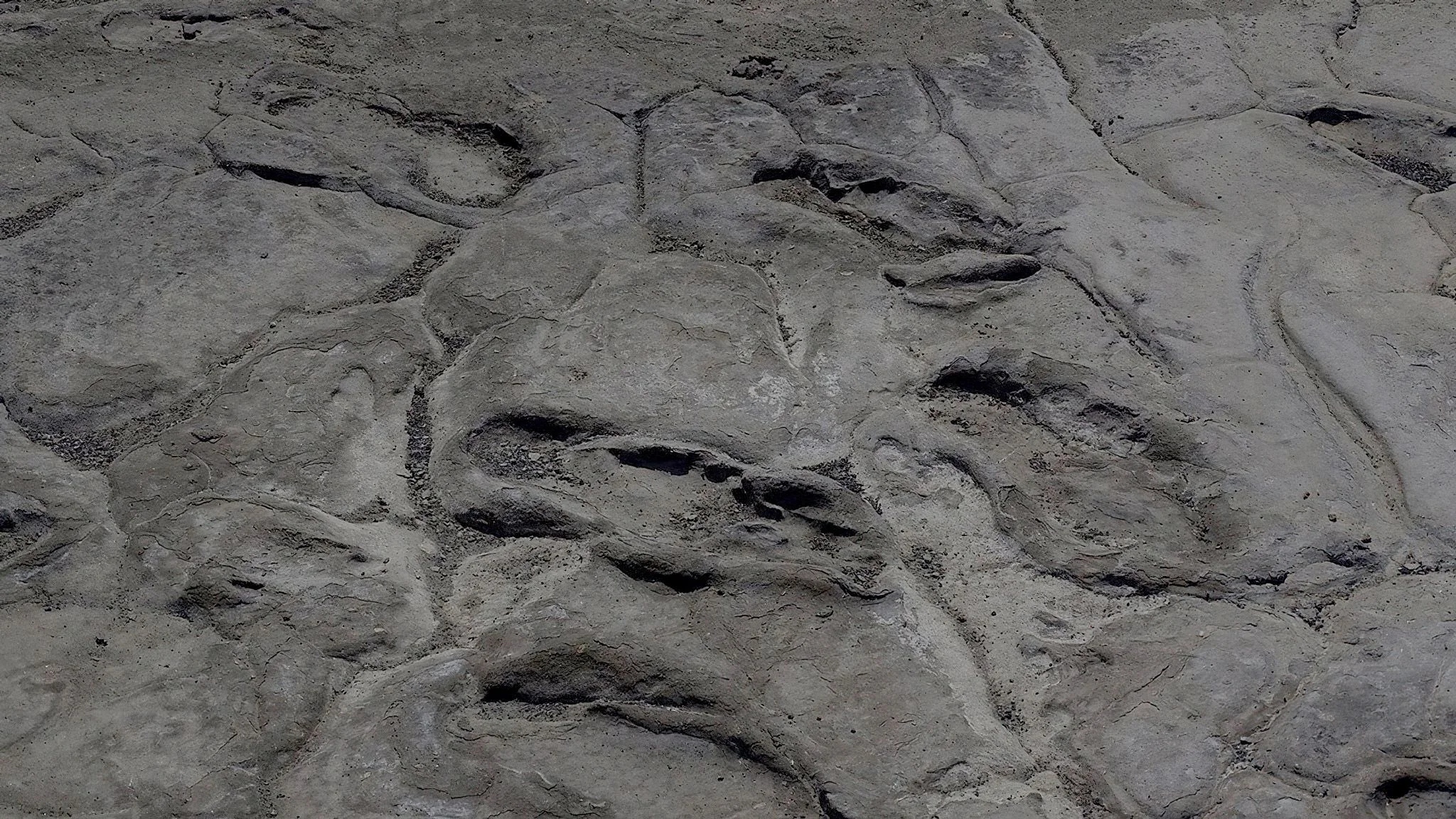
Engaresero Footprints offers a remarkably personal encounter with Tanzania’s ancient past. Near the village of Engare Sero on the southern side of Lake Natron, human steps remain preserved in hardened volcanic sediment. Rather than imagining history through a skeleton or a stone tool, visitors can consider the movements of people who crossed this landscape thousands of years ago. The site rewards a thoughtful, guided visit and fits especially well into a Lake Natron itinerary focused on geology, archaeology and the wider East African Rift landscape. The site is also written as Engare Sero Footprints. Published research documented at least 408 human footprints, representing the paths of at least 20 individuals. Their shape and age support attribution to Homo sapiens, our own species. Dating places the footprint surface within a broad range of approximately 6,000 to 19,000 years ago. This is a scientific age bracket rather than one precisely established date, and visitors should be cautious of descriptions that give a single exact age without explaining the uncertainty. The impressions formed when people walked barefoot across wet, ash-rich sediment associated with volcanic material from nearby Ol Doinyo Lengai. Water had transported and redeposited the volcanic material. The soft surface recorded feet and toes, while later burial and mineral cementation helped preserve the tracks. This combination of volcanism, water and burial turned an ordinary passage across the landscape into an archaeological record. The wider setting makes the explanation particularly compelling: an active volcanic region, a Rift Valley lake and a landscape where geological processes remain visible today. Footprints reveal a different kind of evidence from bones. The spacing, size and orientation of tracks can help researchers estimate movement, body size and the relationship between people travelling through an area. A 2020 study interpreted one group of similarly directed tracks as a party composed mainly of adult women moving together at a similar pace. Cooperative foraging was proposed as one possible explanation. These conclusions are scientific interpretations based on the tracks and comparative evidence; they do not establish the walkers’ names, their exact destination or a complete account of their daily lives. Local knowledge is central to the site’s story. The Smithsonian records its recognition in 2006 by Kongo Sakkae and local Maasai people, with systematic research beginning in 2009. Scientific work has involved Tanzanian authorities, local communities and an international research team. A visit with a knowledgeable local guide can connect the archaeological explanation with the present-day landscape, while supporting local expertise. Cultural visits should be arranged respectfully, with permission before photographing people and clear agreement about what is included. Arrange the footprint visit through site management and a knowledgeable guide, confirming current access, entry arrangements and conditions before travelling. This is a protected heritage feature, so stay within the viewing positions or routes indicated by the guide. Do not step into the impressions, scrape the sediment, pour water onto the tracks or remove material. Discuss ordinary visitor photography with the guide; drone use, filming, sampling or other specialist work should not be assumed to be covered by a normal visit. The number of tracks visible on a given day can depend on the managed viewing area and conditions, so the published research total is not a promise that every print will be displayed. The Lake Natron lowlands can be hot and exposed. Plan the excursion for a cooler part of the day when possible, carry drinking water and wear a hat, sunscreen and closed shoes suitable for dusty, uneven ground. A short stop with interpretation may suit many travellers, but the full outing also includes vehicle travel and any approach on foot. Confirm the actual distance, shade, available assistance and viewing arrangements before booking, especially for young children or visitors with limited mobility. Do not assume visitor facilities or refreshments are available at the footprint surface. Generally drier conditions from June to October can make travel on regional tracks more practical, while January and February may also offer opportunities between rainy periods. Long rains commonly occur from March to May and shorter rains may affect the area from October to December. Rain can alter road conditions and the suitability of walking routes. These are regional patterns rather than guaranteed conditions: ask for a current local assessment, allow flexibility and avoid planning a remote transfer around a fixed advertised driving time. The footprints can be combined with appropriate Lake Natron viewpoints, guided birdwatching and an Engaresero waterfall excursion. The waterfalls are a separate attraction with their own route, water conditions and physical demands; a footprint visit does not include them automatically. Flamingos are associated with the wider lake, but their position, numbers and visibility vary. Ol Doinyo Lengai can provide a striking landscape backdrop, while climbing it is a demanding separate activity requiring careful arrangements. Longer itineraries may connect the Lake Natron area with other northern Tanzania destinations when routing and available time make sense. Choose a lodge or camp in the Lake Natron and Engare Sero area that suits your planned transfers and excursions. Confirm meals, water, comfort stops, guide services and the current breakdown of any applicable entry or activity charges. An overnight stay can make a more relaxed schedule possible than attempting to add every regional attraction to a long driving day. Engaresero Footprints is best approached as a place to observe, learn and preserve: its value lies in the fragile evidence of real people crossing a real landscape long before our own journey began.
March–May: the regional long rains can affect vehicle tracks, walking surfaces and the practicality of remote transfers. Access should be checked with site management and local guides before travelling. Keep plans flexible and do not assume the footprint visit, waterfall walk or onward road route will all be practical in the same conditions.
January–February may provide useful visiting opportunities between rainy periods. October–December can bring shorter rains, with variable roads and skies. Weather and local access matter more than a fixed calendar label. Arrange visits for a cooler part of the day where possible, and confirm each planned excursion separately.
June–October is generally the drier period and often a practical window for regional road travel. The lowlands can still be hot, sunny and dusty, so carry water and use sun protection. Arrange guides and suitable accommodation in advance during popular safari months. Dry conditions do not guarantee that every approach or additional activity is available.
Engaresero Footprints is near Engare Sero village on the southern side of Lake Natron in northern Tanzania. Arrange a guided visit specifically to the footprint heritage site; it is different from the Engaresero waterfalls and from the much older Laetoli footprint site. Kilimanjaro International Airport and Arusha are common starting points for a northern Tanzania itinerary. Continue by a suitable safari vehicle on an itinerary planned for the Lake Natron area, often via the Mto wa Mbu approach where current routing allows. Remote tracks, rain and the starting lodge can substantially affect travel time. Ask for an estimate based on your actual route, current road conditions and required stops rather than a fixed universal transfer time. Confirm the footprint visit with site management and a knowledgeable local guide before arrival. Ask which permissions, entry charges and guide arrangements apply, and whether they are included in your quotation. Do not assume that rules for a different national park or a Ngorongoro Crater activity automatically apply here. Discuss the distance from the vehicle, uneven ground, available assistance, shade and the last suitable toilet or refreshment stop. An overnight stay near Lake Natron can allow the footprints, lake scenery and separately arranged activities to be visited at a comfortable pace. If combining the area with Ngorongoro, the Serengeti or highland trekking, have the operator confirm permitted routing, realistic daily driving distances and any additional access arrangements.
They are ancient human foot impressions preserved in hardened volcanic sediment near Engare Sero and Lake Natron. The site provides evidence of people moving through the landscape thousands of years ago.
It is near Engare Sero village on the southern side of Lake Natron in northern Tanzania, in the wider Ol Doinyo Lengai and East African Rift landscape. Arrange the exact approach locally with a guide and site management.
Both spellings are used for this footprint destination and the nearby settlement. When booking, specify the ancient human footprint site so it is not confused with the area’s waterfalls or other activities.
The commonly used scientific estimate is approximately 6,000–19,000 years. This is a broad age bracket based on the geological and dating evidence, rather than a single exact date for the moment the prints were made.
Published research reports at least 408 human footprints, representing trackways from at least 20 individuals. That is a documented research total, not a guarantee that every impression will be visible during a visitor stop.
The tracks are attributed to Homo sapiens, our own species, based on their form and age. They preserve evidence of ancient people, but do not reveal individual names, a specific ethnic identity or a complete life history.
Bare feet pressed into wet sediment containing water-transported volcanic material, recording the feet and toes. Later burial and mineral cementation helped preserve traces of movement that would ordinarily disappear.
The footprint-bearing sediment contains volcanic material associated with nearby Ol Doinyo Lengai. The volcano and wider Rift Valley setting help explain the geological conditions that made preservation possible.
Track size, spacing and direction can help researchers investigate movement, body size and group composition. A study interpreted some tracks as a mainly adult-female group travelling together and proposed cooperative foraging as a possible explanation; this remains an interpretation.
The Smithsonian records recognition in 2006 by Kongo Sakkae and local Maasai people. Systematic research began in 2009 and has involved Tanzanian authorities, local communities and international scientists.
No. Engaresero is near Lake Natron and preserves comparatively recent Homo sapiens tracks. Laetoli is a different archaeological site with much older hominin footprints. Confirm the destination name and location when planning your itinerary.
No. They are separate visits in the same broader area. The waterfalls involve a different route and their own water conditions, physical demands and access arrangements. Ask for both activities explicitly if you want to combine them.
Arrange the visit with site management and a knowledgeable local guide. Confirm current access, applicable permissions, entry charges and any additional support needed for your planned activity. Do not assume rules from another park automatically apply to this site.
Stay within the viewing positions indicated by the guide and avoid placing feet, hands or equipment in the impressions. Do not scrape, wet, collect or disturb the sediment. Careful viewing helps protect a fragile archaeological record.
A guided site stop can be combined with other regional activities, but the complete duration includes the drive, approach and interpretation. Ask for a route-specific plan based on your accommodation, access conditions and the amount of time you want to spend learning at the site.
Generally drier months from June to October often make regional tracks easier to use. January and February may also suit a visit. Rainy periods can affect roads and walking conditions, so confirm local access close to travel and plan for the lowland heat.
A supervised heritage visit can interest children who enjoy history and science. Uneven ground, heat and the approach may challenge visitors with limited mobility. Confirm the walking distance, shade, available assistance and viewing arrangements before booking.
Ask the guide about ordinary visitor photography and keep equipment away from the impressions. Drone operations, specialist filming and other non-routine activities may require separate permissions. Photograph local people only with their agreement.
Carry drinking water, sun protection, a hat and closed shoes for uneven ground, plus dust protection for cameras. Confirm toilets, refreshments and comfort stops with your guide rather than assuming facilities are available at the footprint surface.
Consider Lake Natron scenery and birdwatching, a separately arranged waterfall excursion and a respectful local cultural visit. Stay at a suitable lodge or camp in the Lake Natron and Engare Sero area. Ol Doinyo Lengai climbing is a demanding separate activity, and all fees and inclusions should be confirmed in your quotation.
Grateful experience
As a solo female traveler, I felt super safe and well taken care of the entire time.
Read morePrivate Safari 6 days
I can only highly recommend the young company Tanzalux for organizing a private safari.
Read moreAn unforgettable vegetarian journey with Tanzalux Safaris
I highly recommend Tanzalux for anyone wanting a special, personalized safari.
Read moreOur 3-day camping safari with Tanzalux was simply fantastic! Everything was perfectly organized.
Read moreBack in April, I joined a day trip to Tarangire National Park with Tanzalux Safaris, and it was truly one of the best experiences I have ever had…
Read moreI've had an amazing experience with Tanzalux Safaris, would 1000% recommend! Thank you for making my trip so special🫶
Read moreI recently visited Meru Waterfalls in Arusha and got to do some of the activities there, honestly it was such a great experience and I really enjoyed it.
Read moreOur guide Dullah Mr Rastaman had the best vibe. I would like to recommend other people not to miss it, Tarangire is the best national park.
Read moreOur tour guide Nasri was very friendly and welcoming from the first day we met him. He knows Tarangire very well and explained many things during the safari.
Read moreAs a grandmother in the group, I would like to share my happiness with Tanzalux Safaris. Me, my daughters, and my grandson went on a short trip to Tarangire National Park…
Read moreReceive a free, no obligation quote

 Western Circuit
Gombe Stream National Park, also known as Gombe National Park, combines wild chimpanzee trekking with forested hills and the shores of Lake Tanganyika. In Kigoma…
Wildlife
Chimpanzees & Olive baboons
Landscape
National Parks & Safari
Highlights
Wild chimpanzee trekking with park rangers
 Southern Circuit
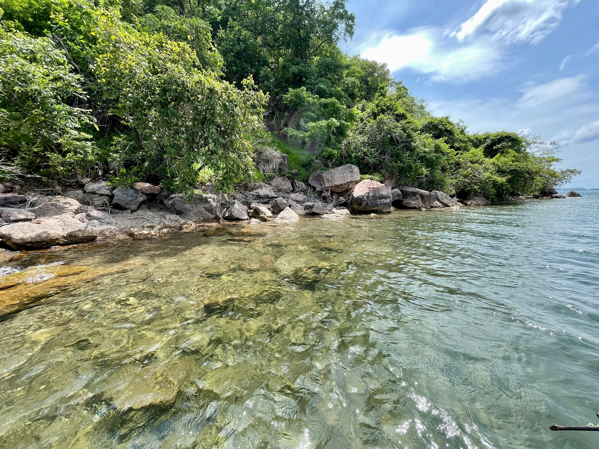
Lake Tanganyika offers a striking freshwater setting along Tanzania’s western frontier: broad blue horizons, wooded shores, bays, beaches and communities whose daily life is closely…
Wildlife
Endemic cichlid fish & Other freshwater fish
Landscape
Lakes & Hot Springs
Highlights
Africa’s deepest freshwater lake in the East African Rift
 Northern Circuit
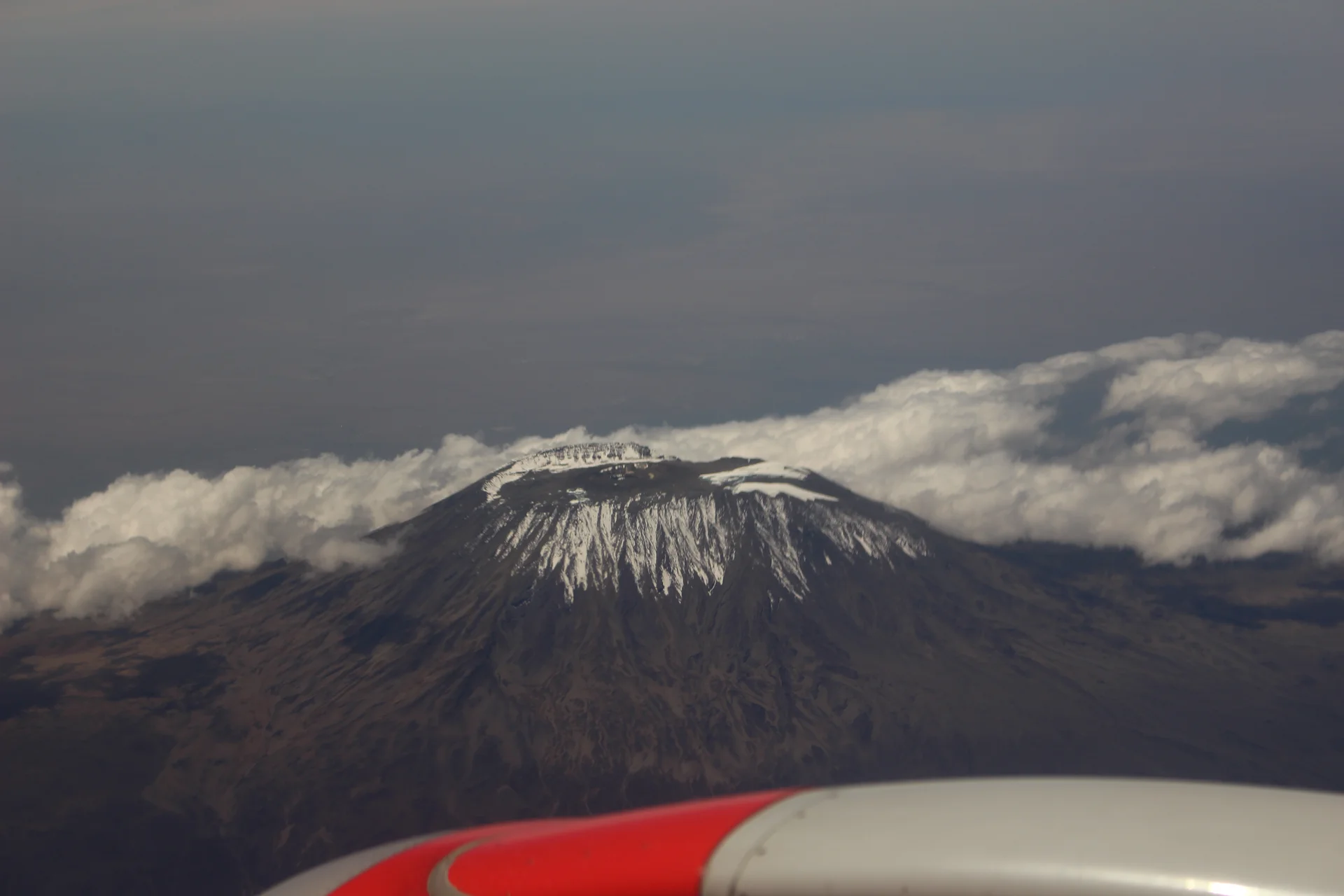
Kilimanjaro rises above northern Tanzania’s plains to Uhuru Peak at 5,895 metres, the highest point in Africa. Its volcanic massif, dramatic changes in vegetation and…
Wildlife
Black-and-white colobus monkeys in forest habitats & Blue monkeys in forest habitats
Landscape
Mountains & Trekking
Highlights
Uhuru Peak at 5,895 metres — Africa’s highest point
 Western Circuit
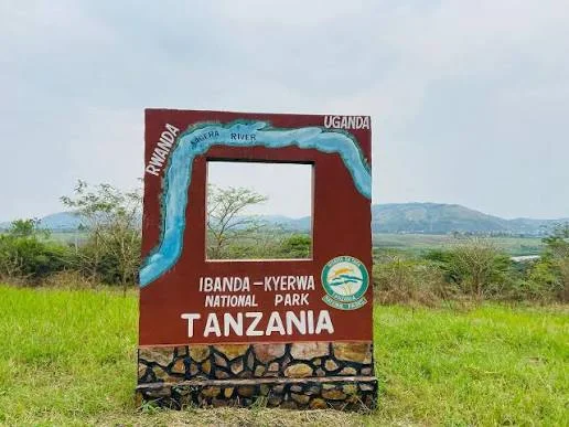
Ibanda-Kyerwa National Park protects a scenic corner of northwestern Tanzania, where the Kagera River meets a landscape of savanna, wooded slopes, valleys and wetlands. Situated…
Wildlife
Buffalo & Roan antelope
Landscape
National Parks & Safari
Highlights
Kagera River scenery on Tanzania’s northwestern border
 Zanzibar & Islands
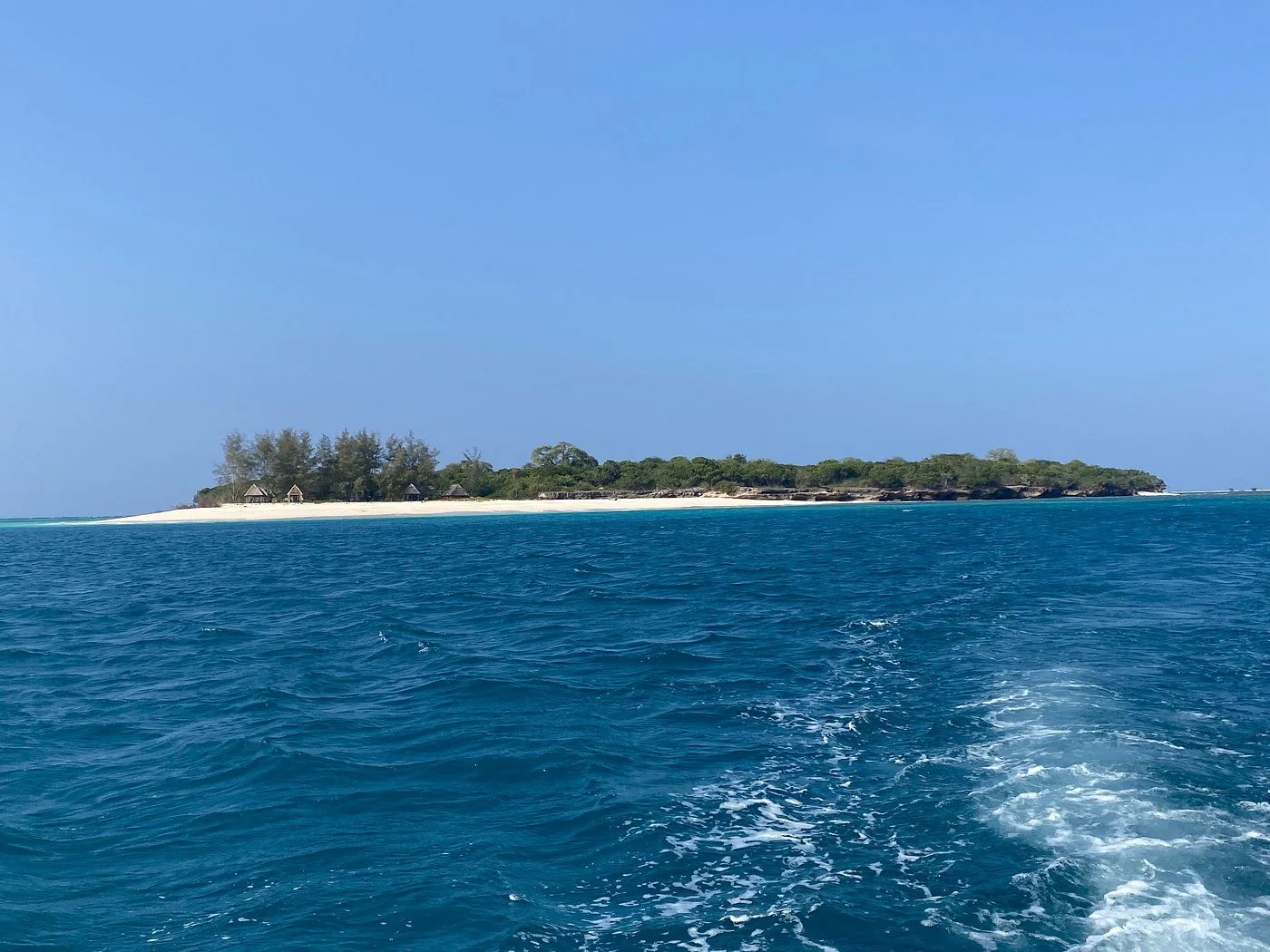
Sinda Island Marine Reserve offers an Indian Ocean escape off Kigamboni, on the southern side of Dar es Salaam. The reserve encompasses Inner and Outer…
Wildlife
Reef fish & Coastal birds
Landscape
Beaches & Islands
Highlights
Inner and Outer Sinda islands
 Northern Circuit
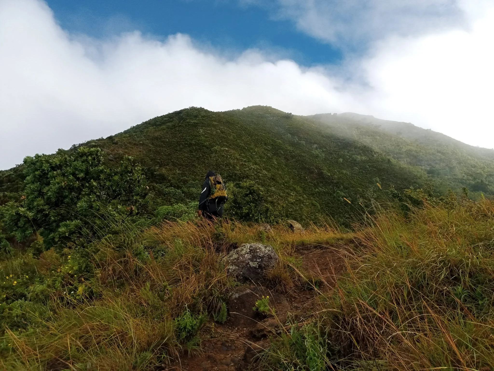
Discover Mount Hanang Rising above Katesh in Tanzania’s Manyara Region, Mount Hanang offers a rewarding mountain adventure beyond the familiar northern safari circuit. At approximately…
Wildlife
Klipspringer & Vervet monkeys
Landscape
Mountains & Trekking
Highlights
Approximately 3,423 metres — Tanzania’s fourth-highest mountain